Archive for August, 2011

Chena Dome in a Day – the 2011 edition

Monday, August 29th, 2011

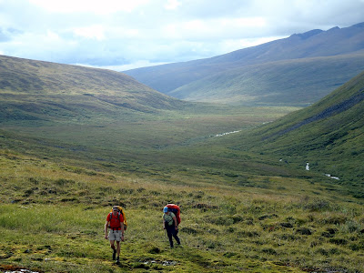
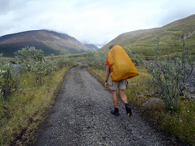
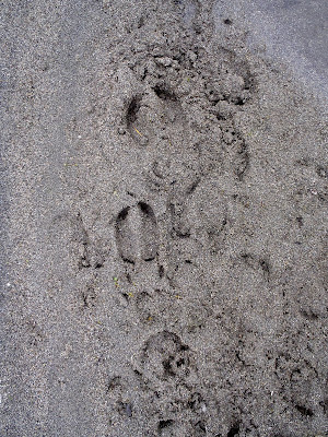
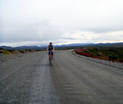
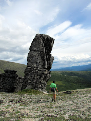
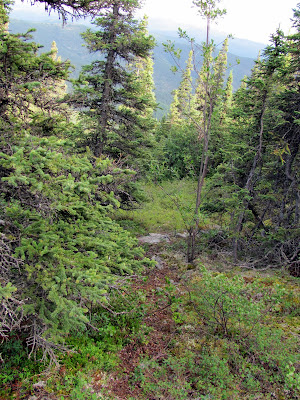
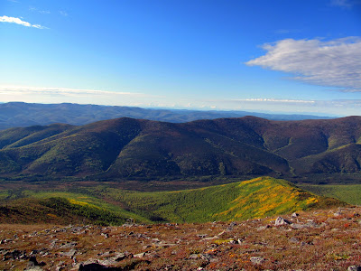
One of my favorite hikes in the greater Fairbanks area is Chena Dome. It is a wonderful 30 mile long ridge hike, with wonderful views and fantastic walking, and lots of climbing. I have made it a goal to hike it at least once a year. Lately I have been doing it as a long day hike, taking a little less than 12 hours to finish the loop. Doing it as a day hike means you don’t have to carry a heavy pack up and down all those hills. You can read about some of the other times I have hiked this trail with the family and as a day hike. It took us about 11.5 hours to hike the 30 miles and 8k to 14k feet of climbing (how much actual climbing there is is open to debate apparently) , which is about what it has taken me the other two times I have done it. Not nearly as fast as the rumored sub 7 hour times some of the local hot shot runners have done it in, but fast enough we got home at a reasonable hour.

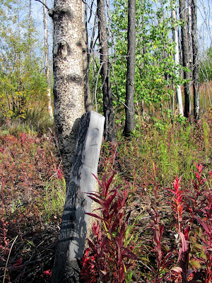
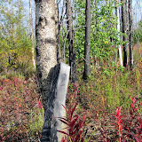
My friend Tom, who joined me for this adventure, maintains that fall has yet to arrive, though I think the tree’s colorful display’s disagree with him.


The fireweed was in full color too.


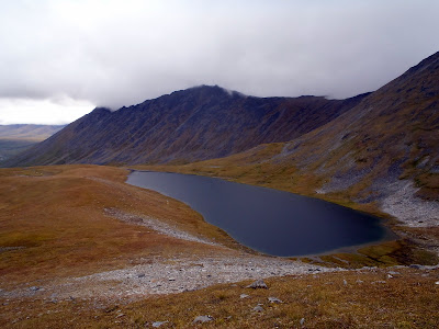
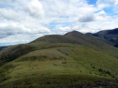
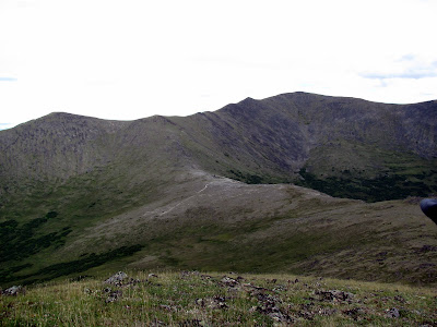
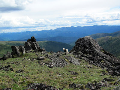
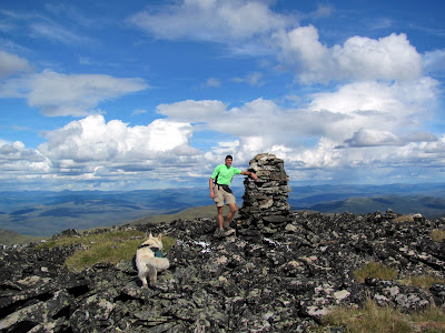
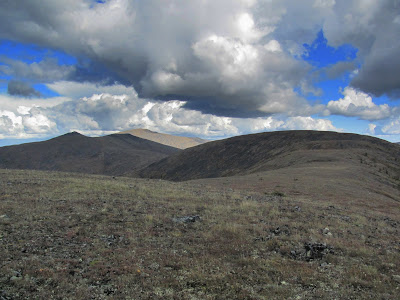
The views from the ridges were, as always, fantastic.


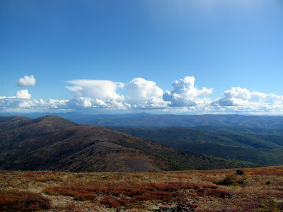
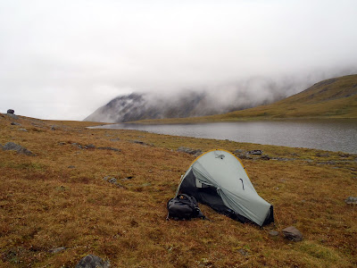
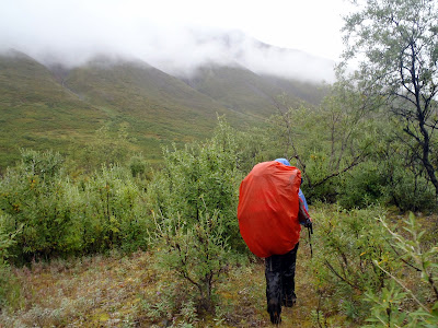
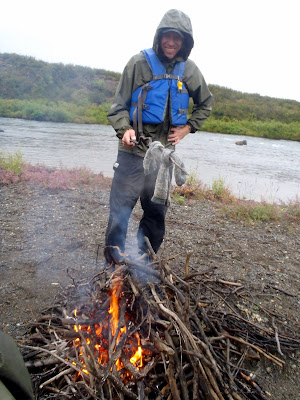
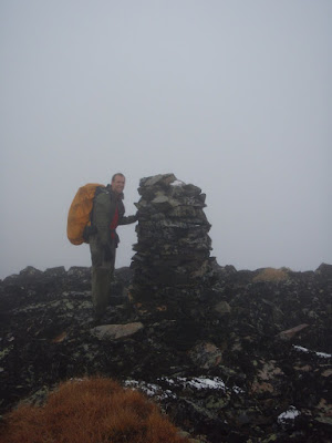
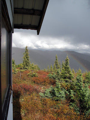
Tom and I had fantastic weather for the hike for most of the day, though we had a brief and heavy rain storm while we were at the trail shelter at mile 17.


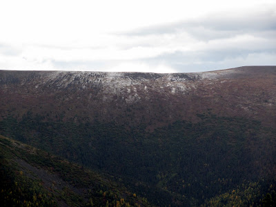
After the rain storm it appeared that a section of the ridge we had been on a hour or so before now a dusting of snow. It was nice to have missed that.


Near mile 8 there is a old plane crash.


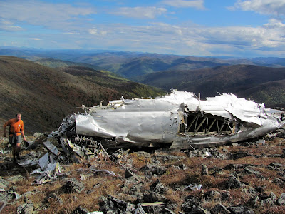
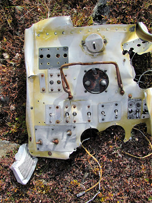
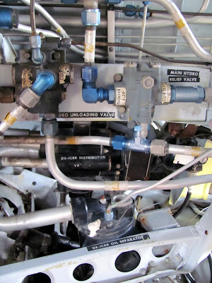
The rubble and twisted plane parts has always been a pretty sad sight for me and a reminder of how dangerous air travel in Alaska was back in the day, and to some extent still is today. When I got back into town I decided to spend a bit of time looking for details on the crash. It appears the crash was a Curtiss C-46 operated by Transocean Airline on a flight from Umiat to Fairbanks. The plane crashed late in the evening on December 30, 1951. The details can be found here.

A photo of the plane, prior to the crash, complements of www.taloa.org .


I would love to know the full details of the crash if anyone has them. I found reference to a rescue attempt in -70f temperatures but was unable to find the CAB report on the accident – if anyone has it I would love to read it.

More photos can be found here.

Packrafting the Clearwater

Tuesday, August 16th, 2011

Tom, Ms Marsh, and I did a repeat of Ed Plumb’s Clearwater packrafting trip. It was a fairly mellow three day trip, with lots of wonderful hiking. As usual, Ed’s writeup has everything you need to know so this is going to be a low word, high picture count post. The floating and hiking were great – this is a trip to do!

There was superb alpine hiking…

Some fast but boring ATV trails..

Over alpine streams..


And beautiful campsites.

Scenic alpine lakes..

Strange flora..

Dinners eaten and in some cases snuggled with..

There was a bit of brush..

But it was never bad, as we were always following game trails of one sort or another.

Evening campfires were had and socks were dried (or not).

There was even some biking thrown in..

All in all, a wonderful way to spend three days.

More photos here.

Doing Far Mountain Trail in a Day

Monday, August 1st, 2011

Last year Tom, Ms Marsh, and I did a hike and float that included Far Mountain, and ever since then I have been very interested in doing the full loop as a day hike. Eventually I ended up with a free Monday and along with Tom found myself heading up the Far Mt. Trail. The trail starts near Chena Hotsprings parking lot (the actual start of the trail is a bit hard to find with a few side trails and roads that make things a bit confusing – check with the folks at the Chena Hotsprings activity center for a map if you have problems) and after crossing the bridge over Monument Creek the trail heads up a ridge and the climbing begins.

The Far Mountain trail loops around Monument Creek valley on a series of ridges. There are lots of ups and down, with between 8k and 14k feet of climbing, depending on who you ask (I measured around 8,000 feet of climbing – that is 8,000 feet of going up). The trail is a little less than 27 miles. The views from the high points on the ridges are fantastic.


There are also several interesting granite tor formations.


Far Mountain itself is a little underwhelming, as it has a large communication facility on top, complete with generators and a couple of large towers.


The majority of the trail is well above the tree and brush line making for wonderful alpine hiking, though there is a section of spruce forest near the end.


The day we hiked it it was was partly cloudy, but it can get quite socked in.
On a clear day:


On a foggy day:


The last mile or so is very muddy.


It appeared that the muddy section was in the middle of some trail work of some sort, however as it appeared the equipment had stirred the mud up into a froth and re-routed a small stream to run down the trail perhaps these repairs might do more harm than good…

This is a highly recommended long day hike. It took us a little less than 12 hours of walking at a brisk but not rushed pace. As an overnighter it is more challenging due to the limited water sources. There are tundra pools in several places around mile 7 or so, but after that there was not much water to be found.


My dog Remus was a bit dehydrated near the end, and I had to give him a some water from one of my bottles near the end of the day. Getting water would mean a long drop down to the one of the creeks at the bottom of the valleys.

The hike has a fairly remote feel, besides the stuff on top of Far Mountain. On the day we hiked it some military planes were out training and made a bit of noise, but otherwise it we didn’t see anyone on the trail.


One day or several, its a beautiful hike and well worth doing.

If you do this hike during berry season, the blueberries can be fantastic.


A map – like all the photos in this blog click it to see the image in greater detail. A better map can be found here. Kyle Jolly’s book Outside In the Interior has a chapter on this hike.


More photos can be found here. Sorry for the low word and high picture count – I have been a bit slow on the blog front lately, but more coming soon!