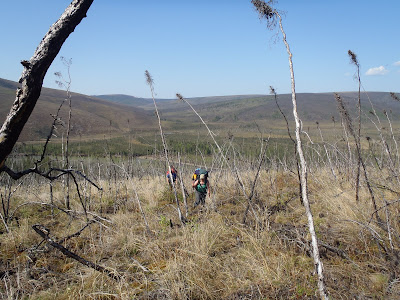
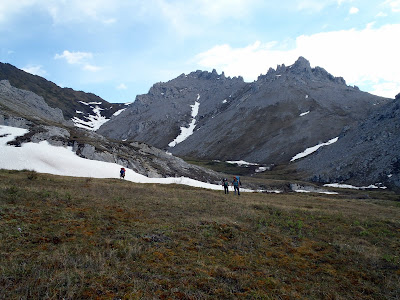
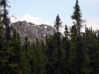
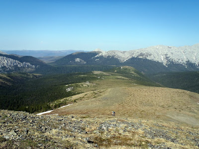
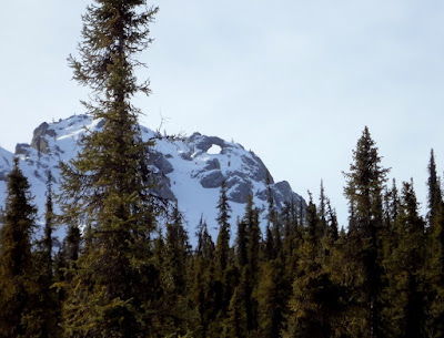
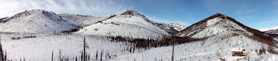
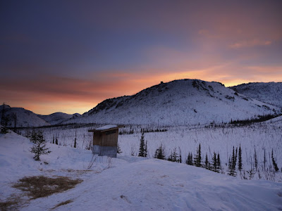
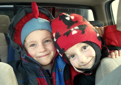
It seems like every time I go to pick up the twins they feel heavier – they seem to be growing like little weeds. Little weeds who are now big enough to start hauling themselves on trips… and so we found ou selves setting off on a bike tour with the twins on the Denali Park road. I have always enjoyed biking the Denali park road – it is quite scenic, fairly well maintained, and once you get past the first 15 miles the only drivers you encounter are running tour buses. The tour buses always seem to give bikers lots of room and are fairly courteous. Our plans for the weekend were relatively modest – to bike the 30 miles or so into the Teklanika campground, spend the night, then bike back out the next day. The first 15 miles or so are paved and while there are hills, there is nothing tremendously steep so it should be a good introduction to bike touring with the twins.
The twins were very excited about the trip and were very eager to get started and have the adventure begin! After doing all the initial check in and paper work that visits to Denali NP seem to require these days, we started pedaling and were off!
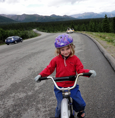
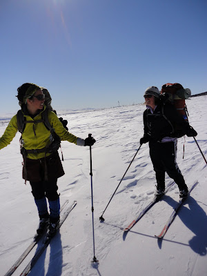
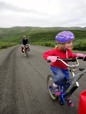
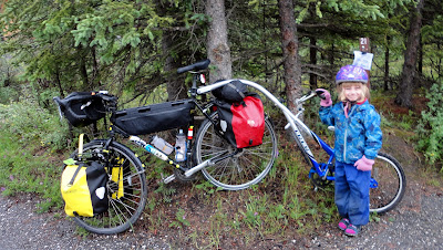
The twins were riding their tag-along bikes , which are sort of a half tandem bike that attaches to the parent’s bike seat post. Nancy and I were hauling the gear in standard panniors, though for such a short trip not much gear is required. We have done bike trips with the twins before, but in those bike trips the twins spent all the bike time in a child hauling trailer – with the tag-alongs the twins could help power us along, as they could now pedal. The pressure was definitely on, because, as Molly pointed out, if they were not pedaling we could tell, as the free wheel makes a clicking noise while freewheeling. Molly and Lizzy are slightly different sizes these days, so they girls each get their own tag-along, and as they are a bit of a pain to swap back and forth, the girls did not swap back and forth between parents. Molly rode with me, and Lizzy with Nancy. The girls were quite good sports, chugging away while we biked up and down the hills on the first several miles of the road. After 7 miles or so a snack break was called and everyone pulled off the road to have a little something to eat. Biking is hard work when your legs are less than a foot long!
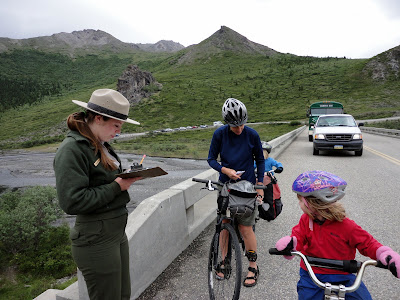
Eventually we reached Savage River where the pavement stops and the road is closed to the public. We waited in line with the other vehicles and eventually had our turn to get our passes checked and received permission to continue.
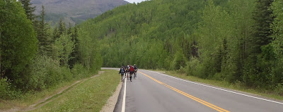
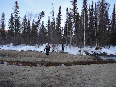
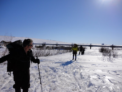
I should point out that we were definitely an oddity – we saw one other biker while biking in, a heavily laden European fellow who looked a bit shocked to see us. I expect passing two five year olds doing a similar bike tour to you makes your experience seem a bit less “epic”. The first section of the park road is open to the public and gets a fair bit of vehicle traffic. The girls had been instructed to wave at the passing cars, and took this to heart, waving to all the buses, RVs, and other random vehicles traveling the roads.
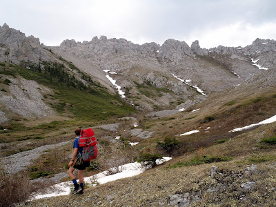
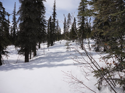
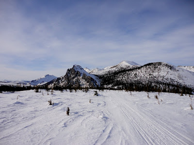
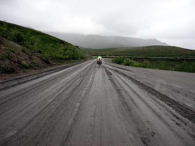
The last 15 miles or so of the of the road from Savage River to the campground we were staying at are on a fairly nice dirt road. When we were there it was in great shape, without a lot of mud, dust, or washboarding. It has some hills but nothing particularly steep, and having the twins help power up the hills was very nice – I could definitely notice when Molly was pedaling.
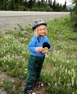
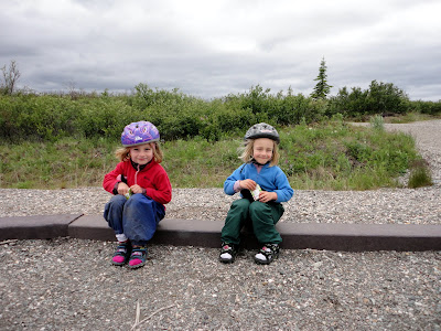
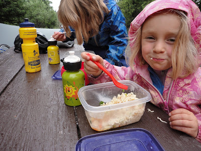
The riding with kids is a bit slower than with adults, as they are not quite old enough to snack on the bike, and of course need the occasional distraction. We stopped every 7 miles or so for a snack break. The twins got very good at spotting the mile posts along the road.
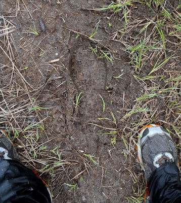
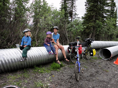
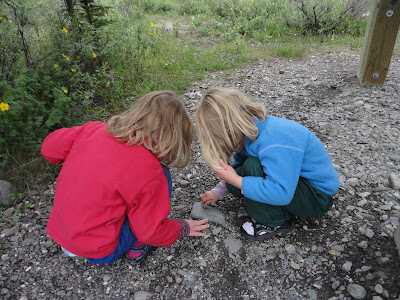
We also stopped to let them explore anything interesting on the side of the road, like culverts waiting to be installed.
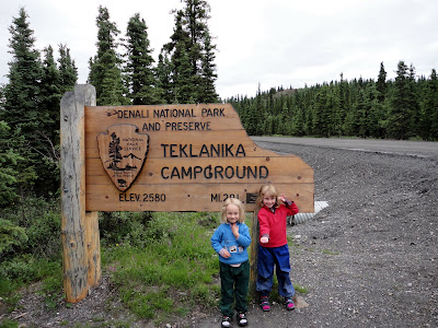
One of our stops was at a pull-off with outhouses that is also used by the tour bus companies. When we arrived there were several buses pulled up and a the tour guide (perhaps color commentator is more appropriate description) was well into giving a talk about life in Alaska. Sometimes I wonder how the tour companies select these folks, as the talk mainly seemed to involve oil tax regimes and was given in a AM radio talk show style a-la Sean Hannity – riveting. The vistors were milling around and since we were doing something interesting like biking with kids and not talking about such exciting subjects like oil taxes a fair number of people came up to say hi and say how impressed they were we were out biking the road. This was fantastic positive reinforcement for the twins, as here real live grownups were saying they could never do this as it would be just too hard. It was also a bit depressing from my point of view, as really this trip was not particularly epic, and almost everyone I saw would have been capable of doing what we were doing, and a fair number of them would probably even enjoy it more than riding in a cramped bus. Such is life.. Eventually we arrived at the campground.
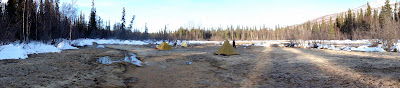
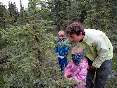
We biked around the two loops that form the campground, found a spot, and unloaded. The twins were very excited as our campsite was surrounded by small spruce with enough understory they could play under them – it was almost like having their own tree houses. They had a great time exploring and were very busy running around and checking things out. Nothing was left unexplored, even a random pile of gravel near a tent site, were they found a rock that could be used to draw on other rocks – exciting stuff!
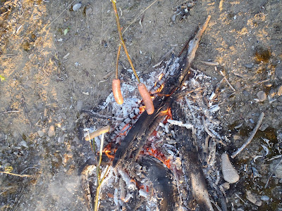
Eventually we set up our tent and made dinner.
After dinner we joined the other campers and attended a talk put on by an interpretive ranger that included a wide range of subjects and ended with half the audience getting blindfolded and hugging a tree. Lizzy did the honors for us.
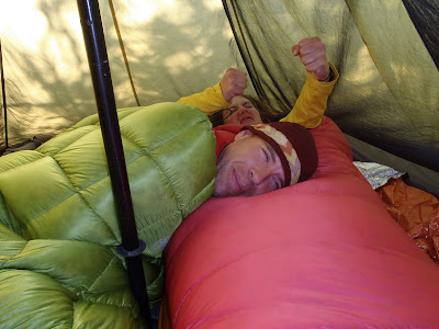
After the talk we headed back to our tent and got everyone ready for bed. While we were getting ready one of our campground neighbors who arrived in a large RV came by and talked to us for a bit. She seemed very baffled as to how we could survive the night and asked us “What do you do when it rains?”. She seemed very baffled by our attempts to explain that we had rain gear, and a tent, so rain was no problem. Eventually everyone was ready for bed, but alas sleeping in a tent is a bit exciting, so it took a while for everyone to calm down enough to go to sleep.
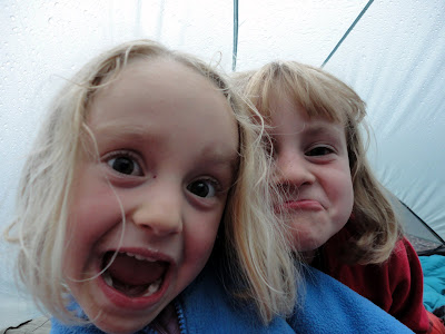
It took a while though.
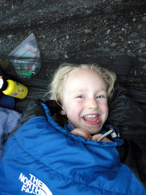
It rained on and off all through the night and was still raining when the morning arrived. The twins were unfazed, as they have rain gear, sandals with plastic bags covering their socks, and rain paints, making them very rain proof.
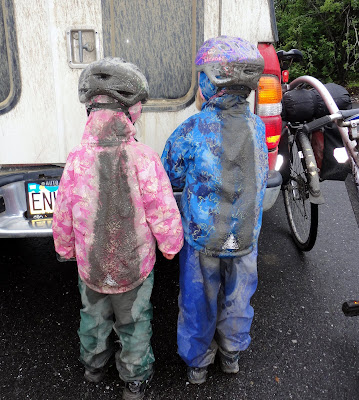
The biking was quite good on the way out, and a fair bit faster as this section of the road has more downhill overall on the way out. It was a bit more muddy though, which Molly enjoyed, but Lizzy less so due to Nancy’s lack of fenders.
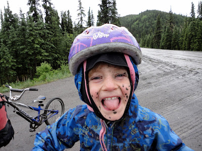
The road was still in good shape though and everyone had fun even with the mud.
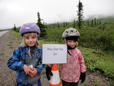
When we reached the pavement we started seeing motivational signs and the occasional aid station – it turns out we arrived just before a half marathon was to start.
The last miles on pavement zoomed by, as they are almost entirely down hill. By the time we reached the parking lot everyone had impressive mud stripes.
After visting the bathroom for a little “de-mudding” we headed off to glitter gulch to get some pizza and ice cream. This was a fantastic trip – everyone had a great time even with the wet weather. Our first bike trip where everyone pedaled was a success, which bodes well for future bike trips. There are so many wonderful roads in Alaska to explore and as the kids get bigger I am looking forward to doing some fun bike adventures with them.
Major kudos to Molly and Lizzy for being such troopers!