Several years ago Ms Marsh, Tom, and I did a wonderful trip out that started at the village of Anaktuvuk Pass, and headed down the John River. I had been thinking for a while about getting back in that neighborhood, and eventually the chance came. This time the plan was to head east out of Anaktuvuk, up the Anaktuvuk River, over to Ernie Pass and down Ernie Creek to the North Fork of the Koyokuk, and out to Nolan via Delay Pass. It looked like a fantastic route, and I was pumped to be back in that area! Folks with A.D.D. or are otherwise reading challenged can see a video highlight real here.
We arrived at Anaktuvuk, and after wandering around for a bit, and checking in on a friend of Ms Marsh’s, headed out of town.
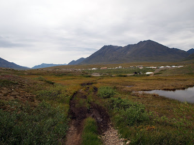
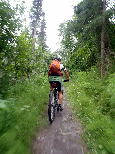
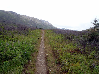
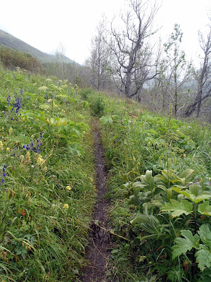
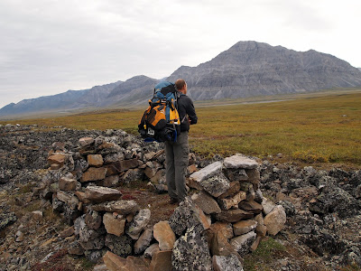
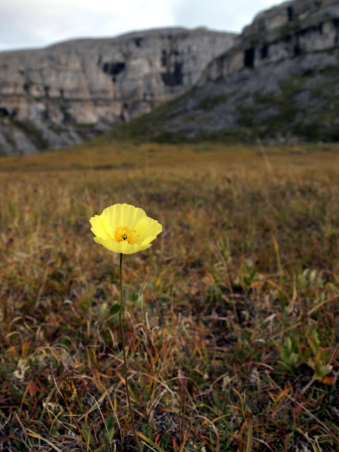
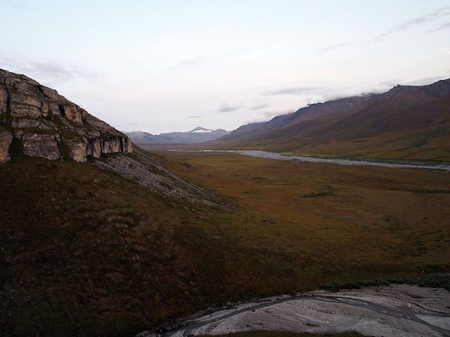
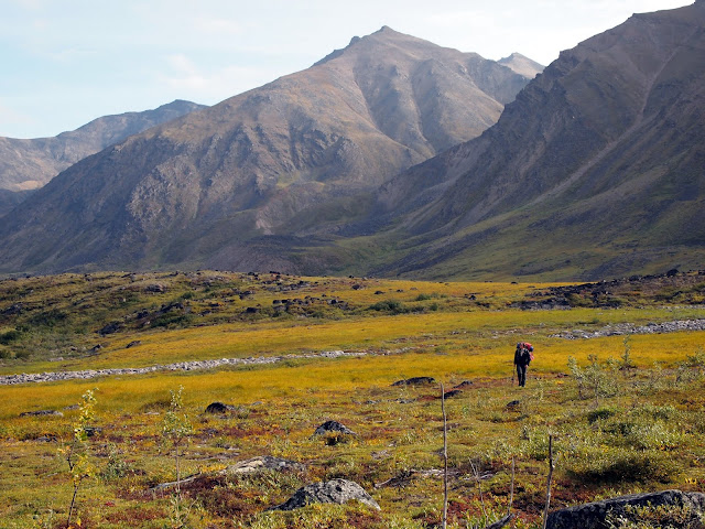
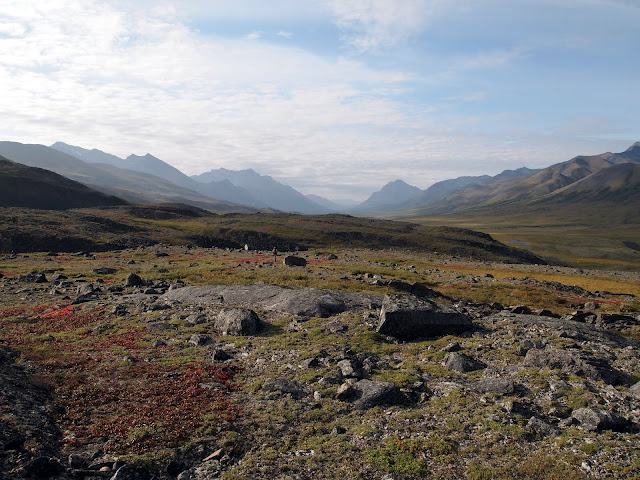
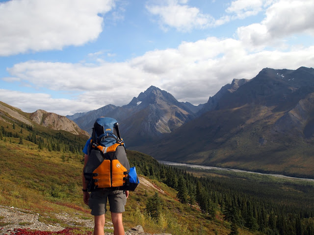
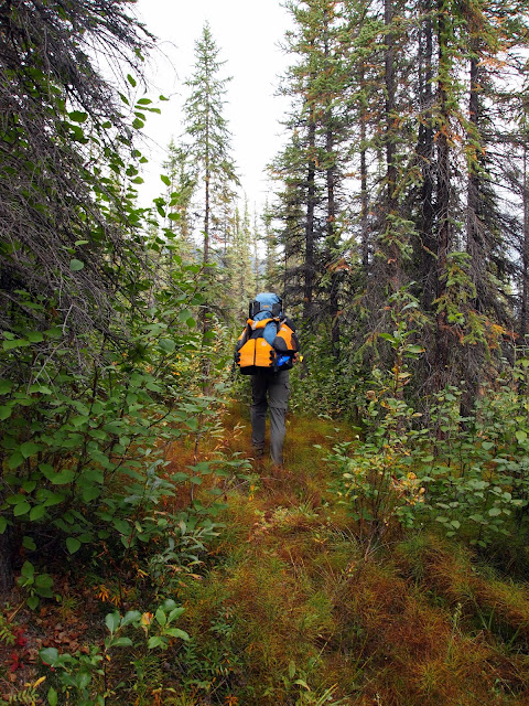
We caught a ARGO trail leading to the Anaktuvuk River, and started hiking. The walking out of Anaktuvuk was wonderful, with great views, and we made good time, even with lots of stops to check out the sights.
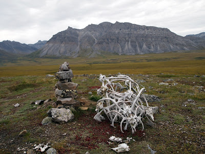
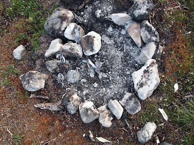
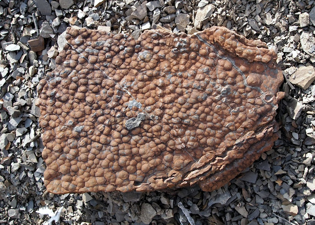
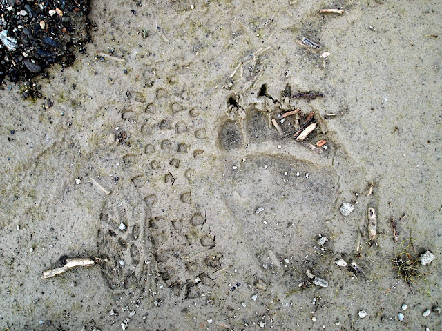
I had a blast looking around for signs of how the locals use this area, exploring the antler piles, the hunting blinds, and the fire rings.
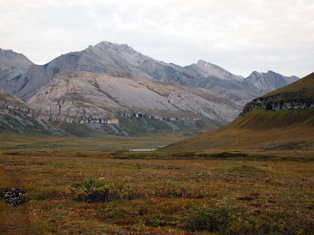
We camped the first night where a small stream dumped into the Anaktuvik River, and in the evening explored the canyon where the stream came from.
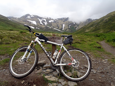
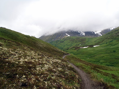
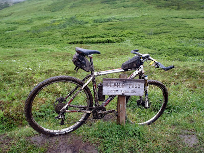
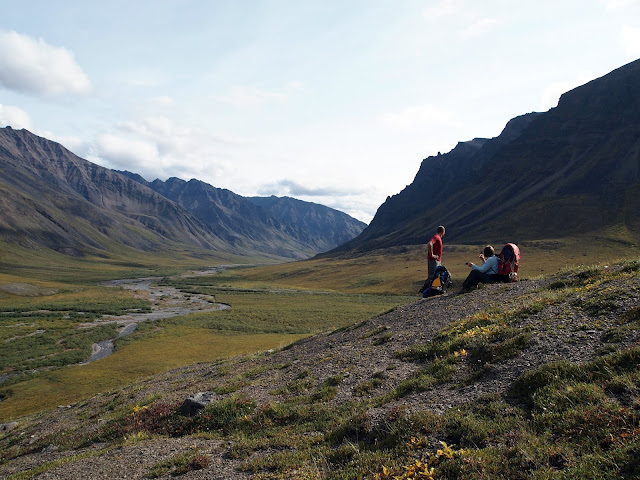
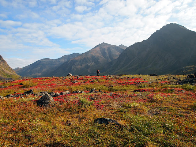
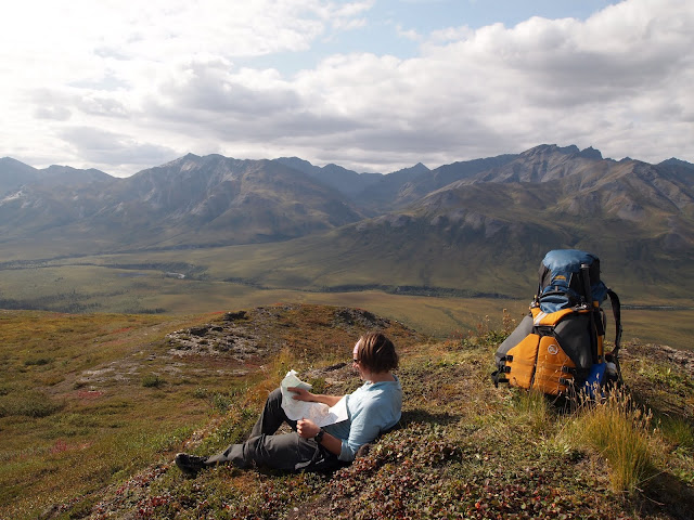
The next day we hiked up to Ernie Pass, and over the continental divide, following Ernie Creek.
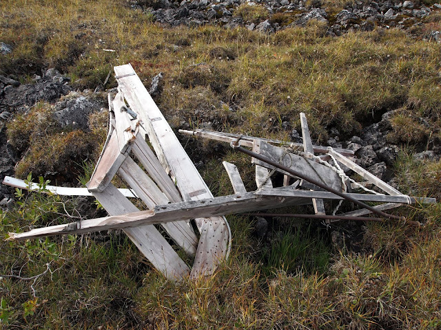
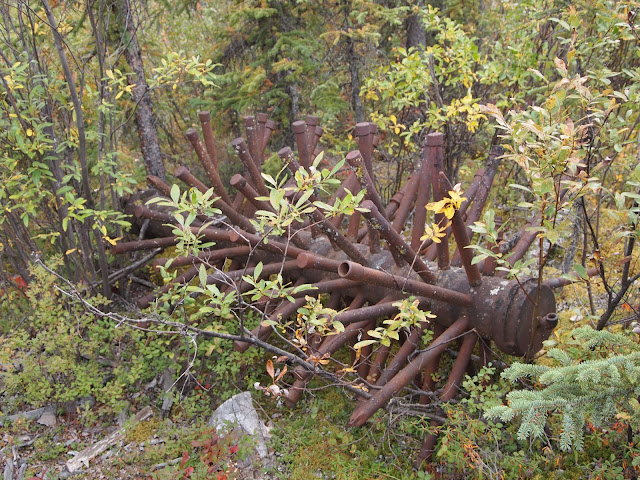
Just before the divide we found an old broken up snow machine sled.
It’s hard to imagine what it would be like here in mid winter – probably amazingly cold and windy, with no cover. Right on the divide we were surprised to find a beach ball with a zip lock bag of maps and notes held down by a rock.
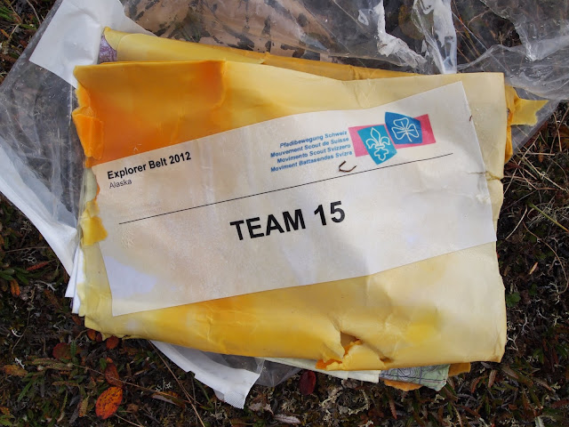
After we got back into town we discovered it was package airdropped for a swiss scouting club that was never retrieved.. It was a small package, but a bit of a bummer it was left behind… litter being what it is. Once over the pass we followed Ernie Creek down.
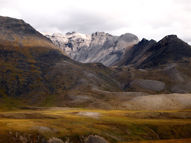
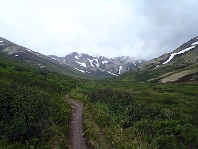
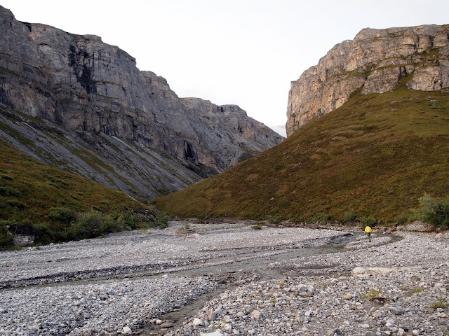
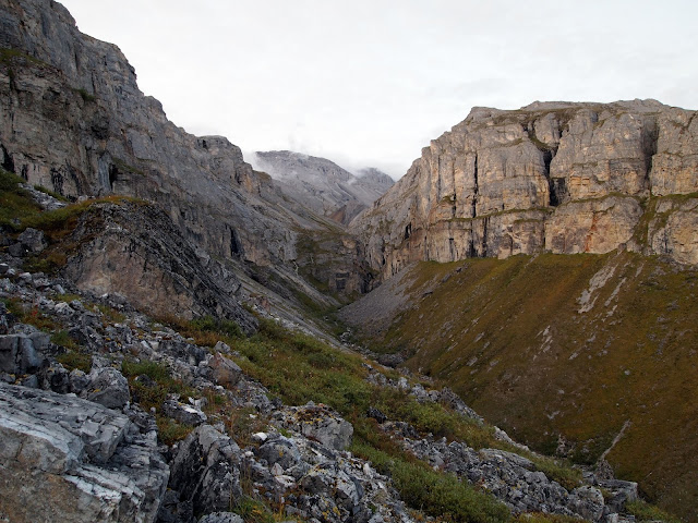
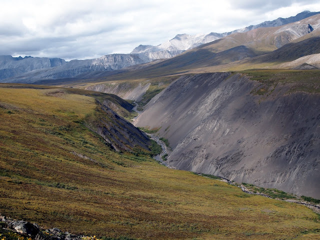
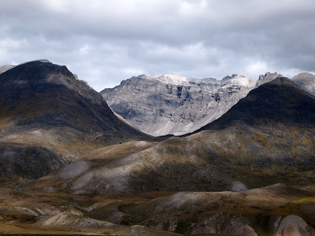
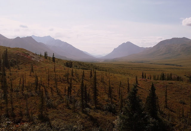
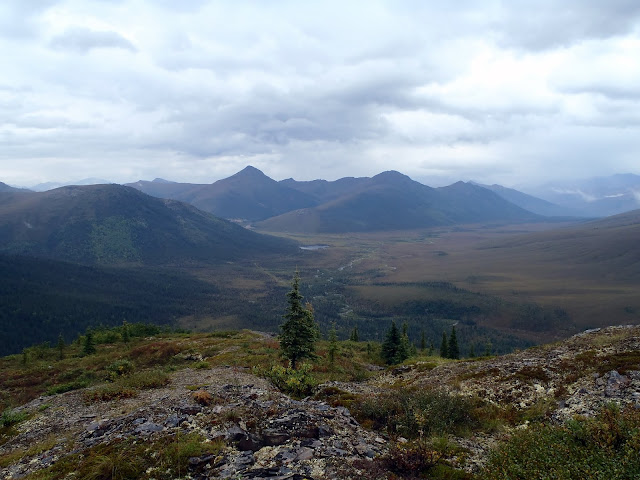
The canyon Ernie Creek flows through is surprisingly deep, so we stayed high up on the ridge.
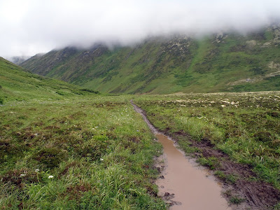
We had hopes of floating Ernie Creek, but ended up just walking, as it didn’t have a lot of water in it, and the gradient was fairly steep. It would have been possible, but there would have been some dragging and a bit more excitement than were looking for at the moment. In a couple of spots it looked pretty hairy, with lots of large rocks with tight places. The walking was pretty fantastic, so we didn’t mind much.
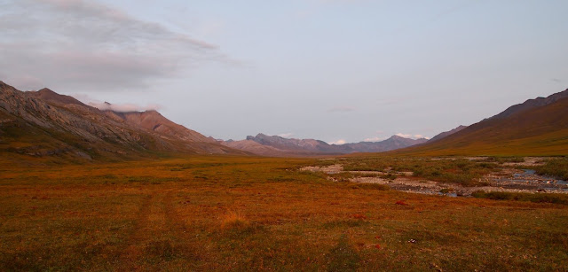
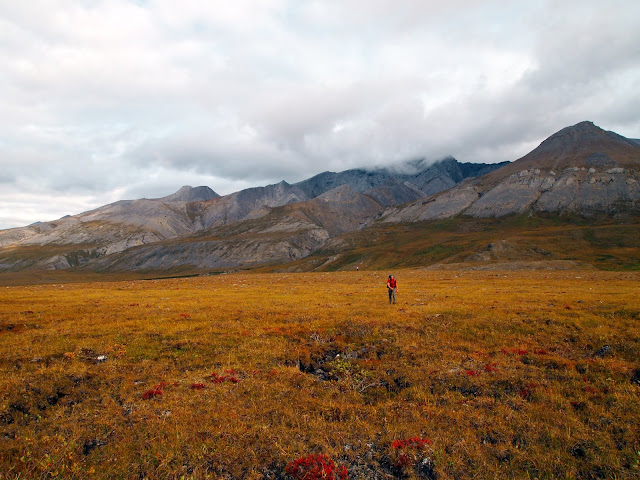
The views were top notch, as Ernie Creek winds down between the peaks.
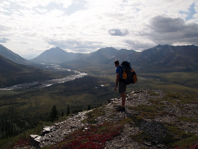
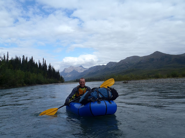
Eventually we reached the North Fork of the Koyokuk, and hopped into the boats.
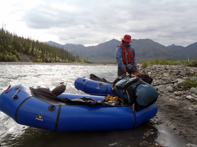
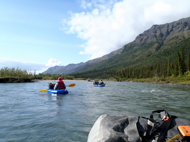
The floating was pretty nice, though there was a fair bit of wood dodging required initially. Eventually we reached the confluence with Ernie Creek, and the water volume went up a lot, and the wood dropped off.
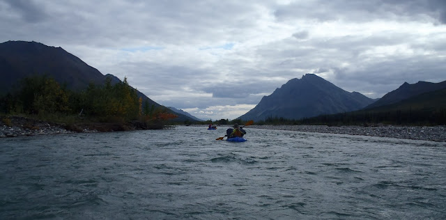
The area was amazingly scenic, as we floated down between the gates of the arctic, Boreal Mountain and Frigid Crags.
In the middle of the day, as we rounded a corner we started to smell smoke, and then bumped into a couple with an Ally Pack canoe camped on shore. We talked to them for a moment as the current carried us by, surprised to see anyone. Later in the day we bumped into them again, and it turns out they had emailed me the previous summer looking for advice on trips in the arctic. They are were up from Tennessee, spending part of the summer exploring Alaska, and were floating down to Bettles. It seemed like they were having a great time.
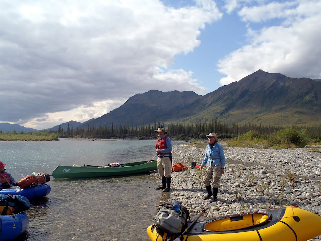
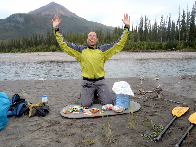
It is a very small world.. We saw them several other times that day, before they called it a day and camped. We only encountered one rapid of any note on the North Fork near Cladonia Creek. We scouted it, but it was fairly mellow and easy to navigate. We spent several days on the Koyokuk, enjoying the fast moving water and nice weather. The second day we camped on the confluence of the Tinayguk River. Tom and I messed around looking for cultural artifacts – I had been told there was the remains of a cabin near the confluence, but we didn’t find any. We did see lots of animals though, and were given quite a shock when a large owl swooped overhead while we smashed though the brush. Tom also spent some time sorting and counting his snacks, and was happy that he was not going to starve to death.
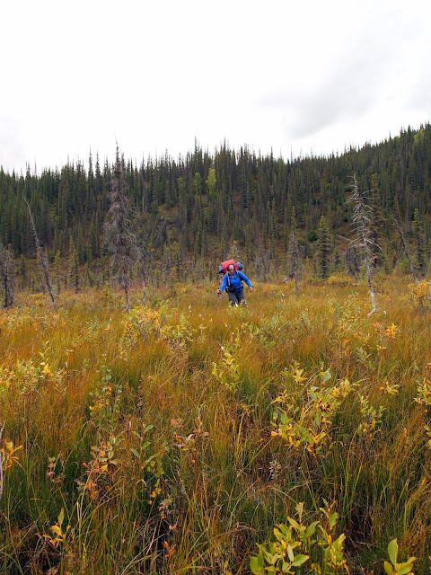
The final day on the river we floated until about mid morning, then took out and started hiking inland, planning on hitting the winter trail to Nolan.
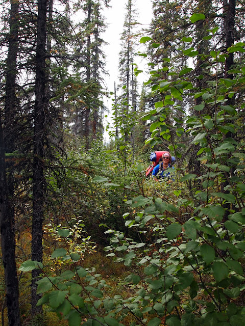
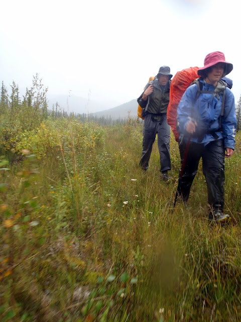
Most of the hiking was pretty good, though there was some tussock hammering.
Eventually we reached Glacier Creek, where we crossed and started walking upstream. We started seeing more signs of civilization..
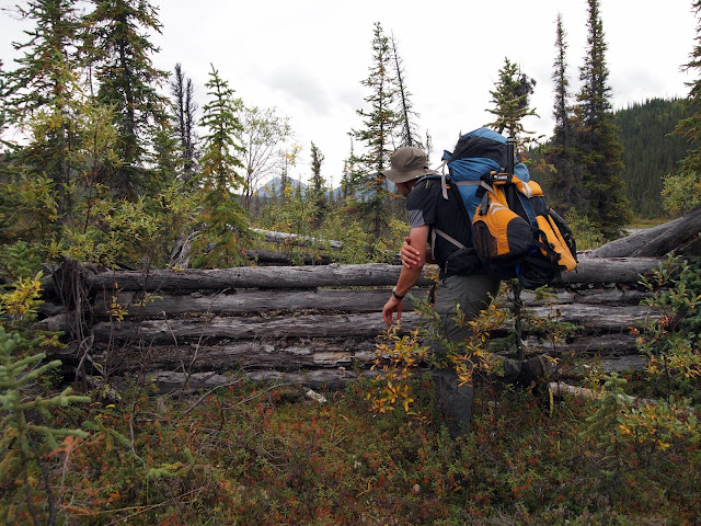
We ended up camping near an old abandoned runway. It was a beautiful calm night, and very peaceful. Alas, in the middle of the night we were hit by a massive wind gust that flattened both our tents, followed by a heavy downpour. I ended up having to get out and re-stake the tent while getting dumped on – all my own fault for not setting up my tent with firmer anchors. The next day it rained on and off, as we hiked up the stream, and over to Nolan on the winter trail.
The hiking was a mix of wonderful walking, and huge tussocks with waist deep holes around them – less than wonderful hiking. We eventually left the winter trail where it crossed a massive tussock field and headed up a ridge, leading to some wonderful hiking, and we managed to skirt most of the rest of the tussock fields.
A few more miles wet walking on the winter trail and we arrived at Tom’s car, parked near Nolan, where we gleefully dove into the bags of snacks and clean (and dry!) clothing.
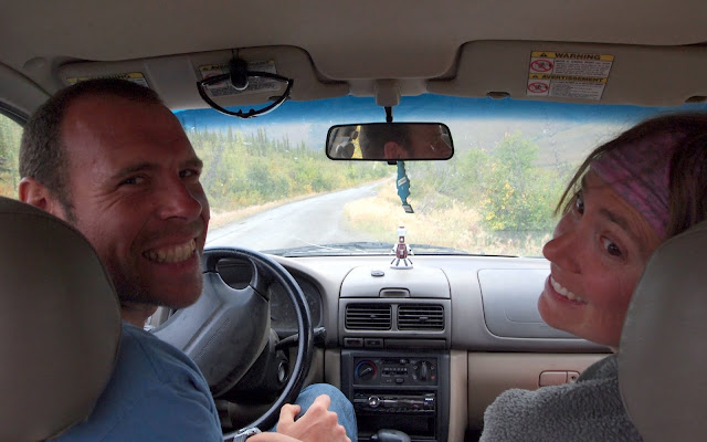
Soon we were zooming back to Fairbanks, enjoying the heat and dryness of the car after a long wet day in the rain. Thanks to Tom and Ms Marsh for a wonderful trip, and of course a huge thank you to Nancy and the twins for allowing me the time. It was great fun, and a fantastic adventure!
Anaktuvuk Pass to Nolan, Fall 2012. from JayC on Vimeo.
(For the full HD monstrosity click here. )
Maps and more photos can be found here: