Archive for June, 2017

Alaska Cross 2017..

Monday, June 12th, 2017

Thump, thump, thump.
I turned around to see Nick and Stefan running up the road behind me, zooming along at a pretty good clip.

“Where is the rest of your group?” Nick or Stefan asked.
“They are ahead – go catch them!”
And they zoomed off even faster.

Alaska Cross is a semi organized unofficial race that was originally from Chena hot springs to Circle Hot Springs in Central. The last few years the course has bounced around a bit, trying routes in the Alaska range in a few different locations, but now it was back to the original form, and I really wanted to do it. Tom and I made plans to do it, and eventually joined up with Drew, and finally Seth at the very last minute. Before the race there was a bit of discussion of routes, all with tradeoffs of one sort or another.

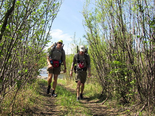
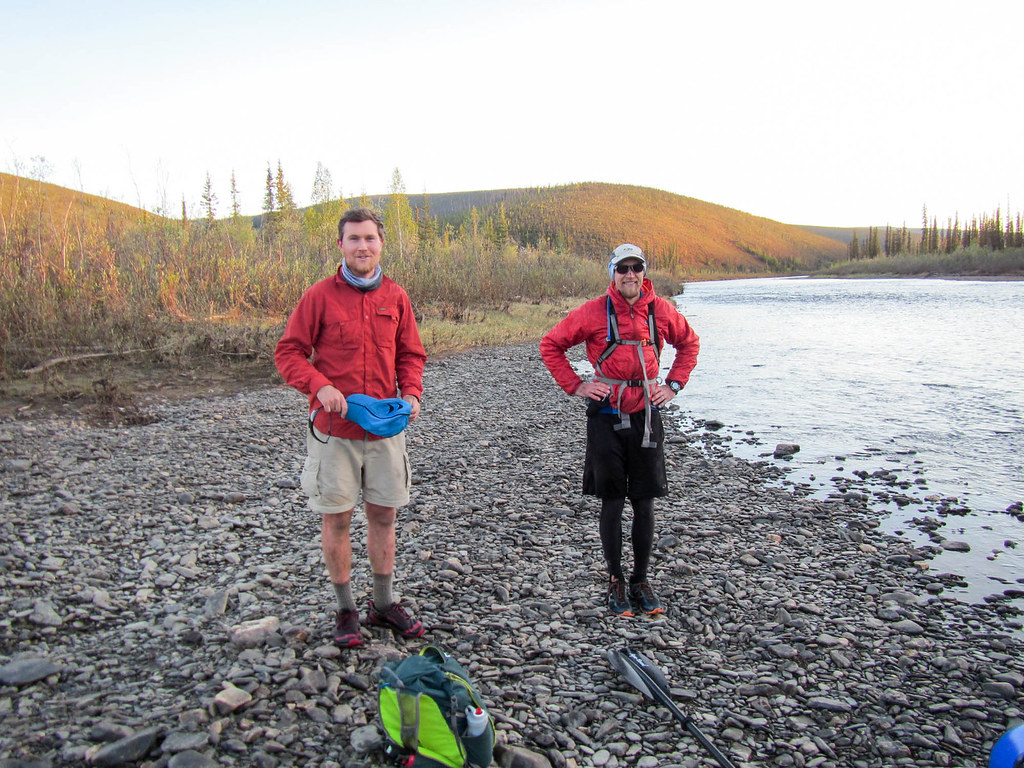
The race start was a pretty low key affair – there were only nine people there, and after a short talk by the (un) organizer Mark Ross, everyone was off. The two runners, Stefan and Nick, zoomed off, while the rest of us plodded along on foot.

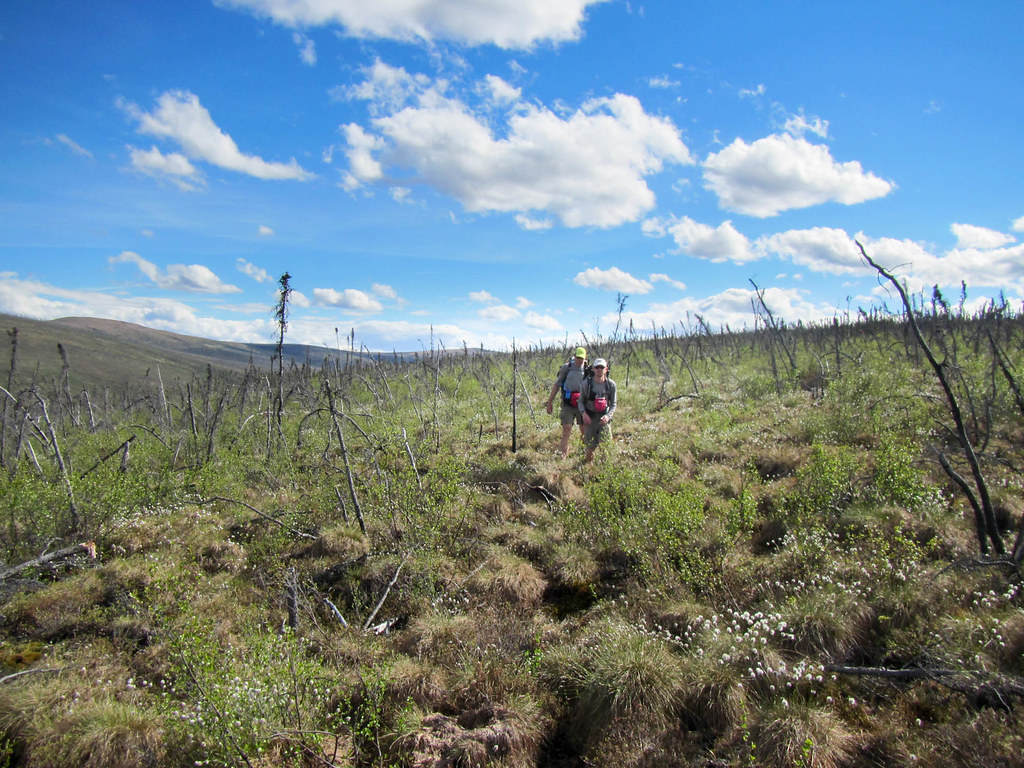
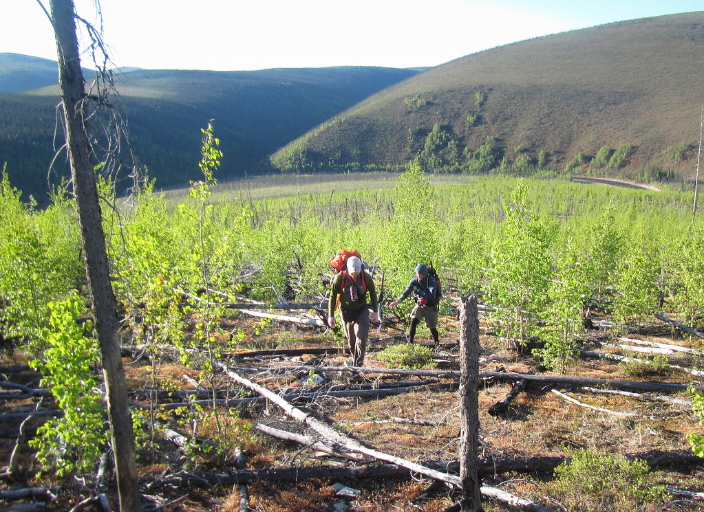
We took the “default” route, taking the quest route over to Birch Creek, then floating Birch Creek down to a bit before Harrison Creek and hiking the ridge over to the mining road, and walking the road out to Circle Hot Springs.

Alaska cross, chena to central

I haven’t been on this section of the Yukon Quest trail before, and I was super excited to see a section of new trail.

Alaska cross, chena to central

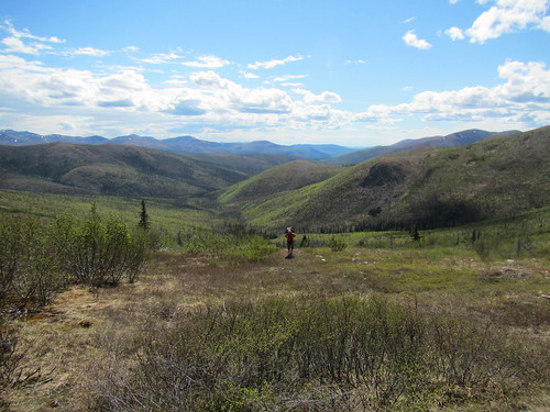
Rosebud summit was neat to see, and it was great to think of all the epic adventures mushers have had going up and over it from the comfort of a nice warm summer day.

Alaska cross, chena to central

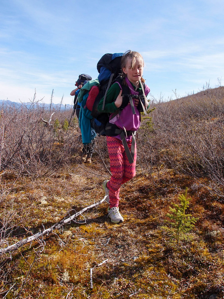
It was pretty scenic and very fast walking, at least until the last few miles which were a bit tussocky. At this point in the race it was pretty clear that Tom and Drew were in much better shape than I was. They were much faster going up hill, and Tom in particular was powering through the tussocks at a pretty amazing pace.

Alaska cross, chena to central

Alaska cross, chena to central

We arrived at Birch Creek around 5pm. The creek was, alas, a bit on the low side, but that was expected. We had talked about shortening the float by taking a longer route to the river – trading 10 miles of hiking to cut off approximately 25 miles of floating, but tales of how bad those 10 miles would be made me a bit concerned.

I unpacked, inflated, and messed around a bit trying to put together a makeshift replacement for the spray skirt poles I had left behind accidently cobbled something together from willow branches (which worked ok – hurrah!). Skirt semi-assembled, I looked over and saw that Drew was totally packed and ready to go, and Tom was almost ready – doh, I was holding folks up! I got moving and was soon ready to go, but alas Seth still had a considerable yard sale spread all around him.

This was the story of the trip – Drew packs up almost instantly, and is ready to go fast, Tom is nearly as fast, leaving me in a panic that I am holding everyone up. And of course, I was!

Just as I was starting my full on panic packing, Jenna, the only solo entry popped out of the woods. She seemed to be in great spirits and it was looking like she was going to be ready to go before I was, causing my packing to get even more frenzied!

The wait on Seth’s yard sale continued until Tom and Drew’s egg timers went off, and they headed out. I took off with them, figuring that Seth would get going and catch up on the river.

Alaska cross, chena to central

Alaska cross, chena to central

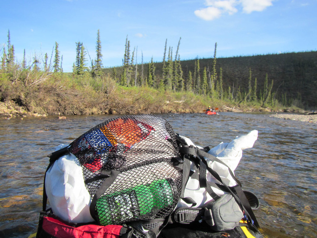
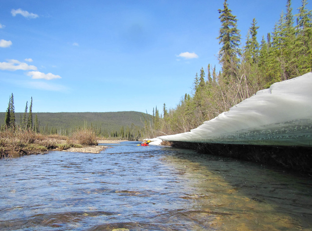
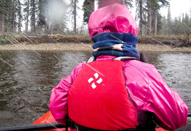
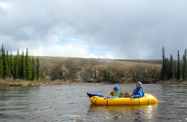
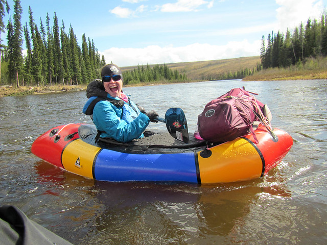
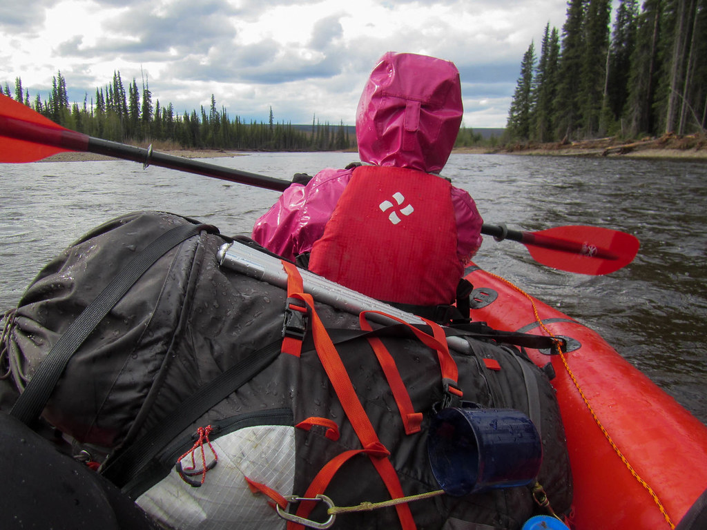
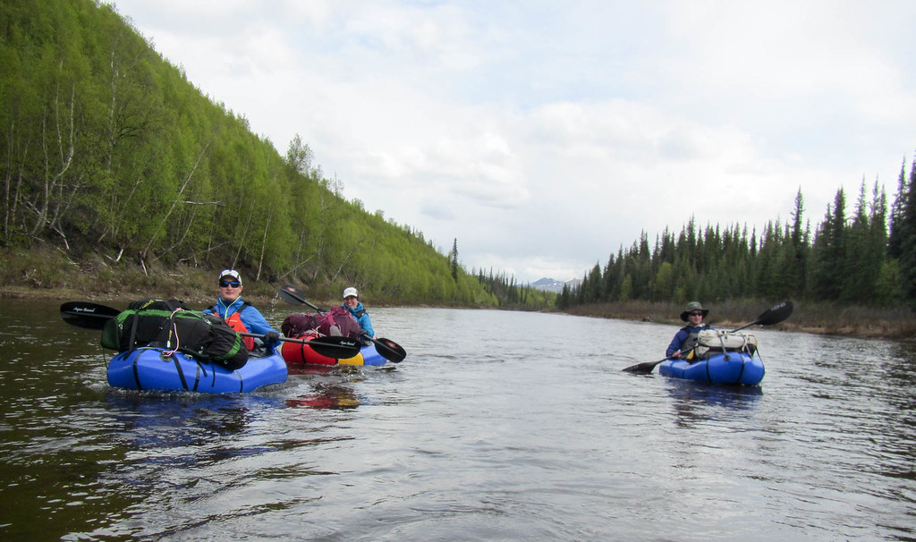
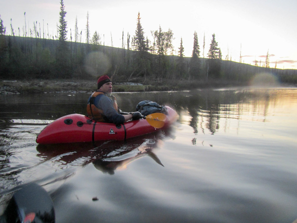
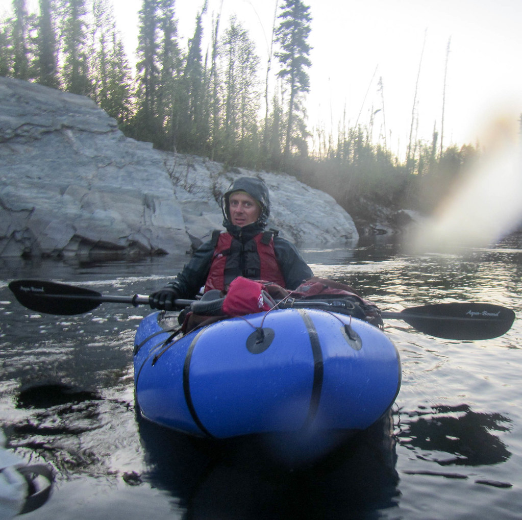
The float was pretty uneventful. Paddle. Paddle. More Paddling. I think we found we could make around four miles per hour if we paddled continuously which we did except for 3 breaks to stretch our legs and warm up. Fortunately it was windy on the river, which kept the temperatures warm. Which was awesome, as the first year I did this route I had ice on my deck in the middle of the night – it was a bit cold!

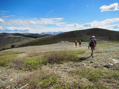
We saw Jenna and Seth periodically, but they seemed to yo-yo around us, getting ahead then falling back.

In the early hours of the morning we bumped into Nick and Stefan as they were preparing to cross the creek.

Alaska cross, chena to central

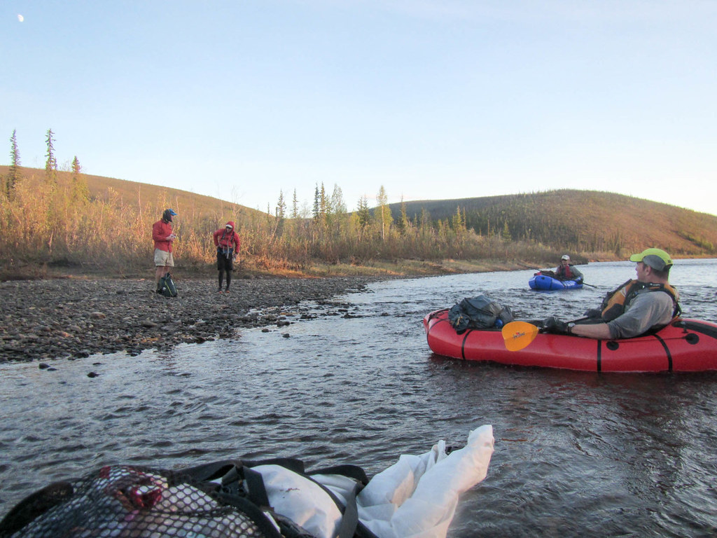
They looked to be in pretty good spirits, but I was pretty happy we didn’t take the route with more walking as they had light packs and still were not very far ahead of us.

Alaska cross, chena to central

We ran both rapids on the creek after boat scouting them – they were pretty tame at this low water level.

Alaska cross, chena to central

Alaska cross, chena to central

Just as the sun hit the river it was time to take out, and Seth joined us just as we pulled up on a rocky beach to take out. Everyone was a bit discombobulated, but we got packed up climbed a hill over to the mining road we would take to walk out to the hot springs.

Alaska cross, chena to central

Alaska cross, chena to central

The climb took me from cold as I left the river to really hot as I sweated away climbing up hill. Drew and Tom zoomed up the hill like it was nothing as I slogged along in their wake.

Zoom the climb was over, and it was down, down, down to the mining road, where I took advantage of an outhouse nicely situated near on top of a little mound near the road to answer the call of nature. Just about finished with the deed I discovered the outhouse was very unstable and there was a bit of a panic as I tried to get out without having it fall over and slide off the hill..

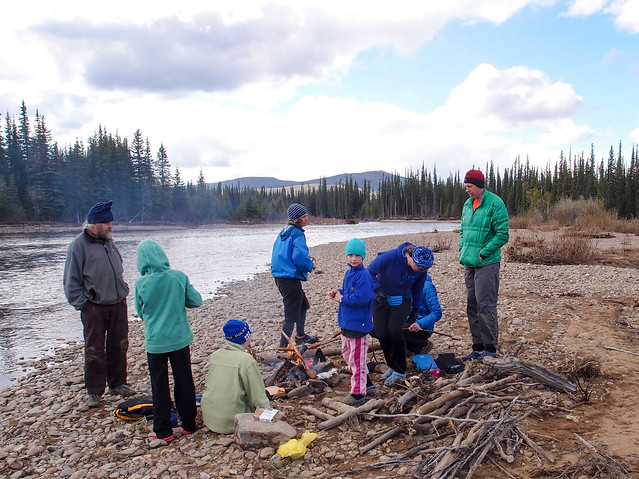
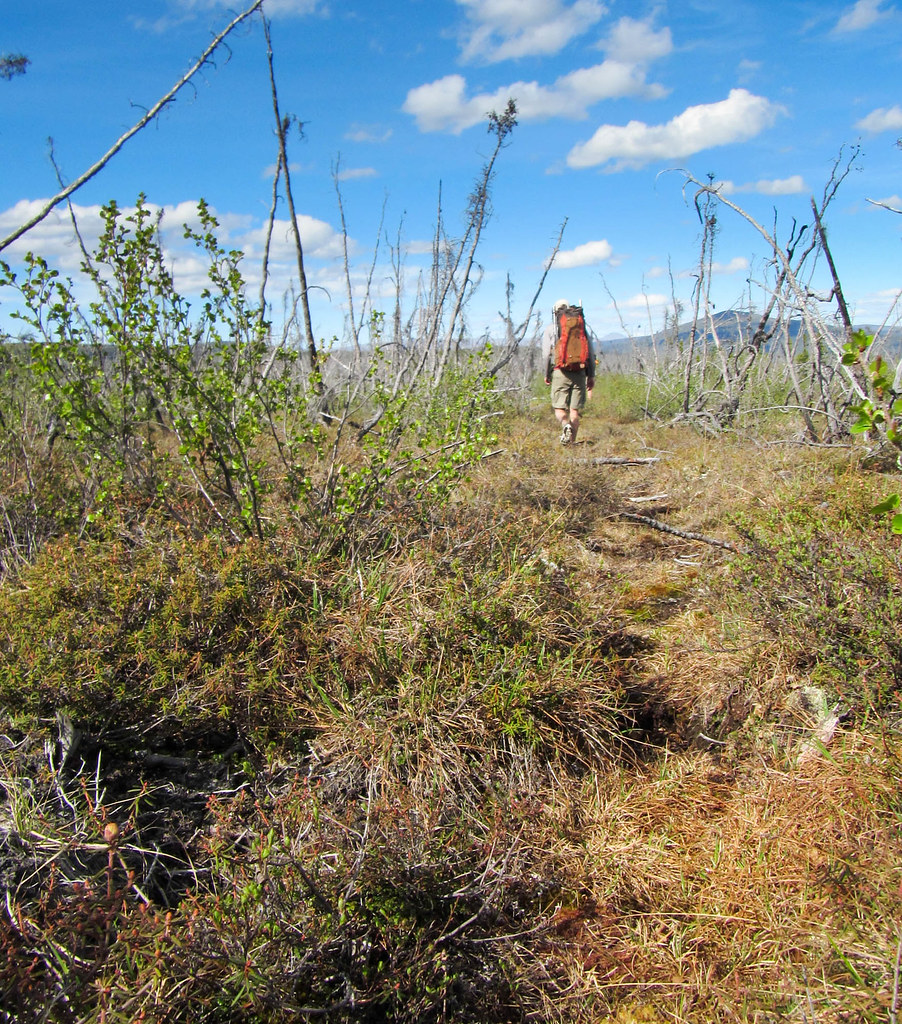
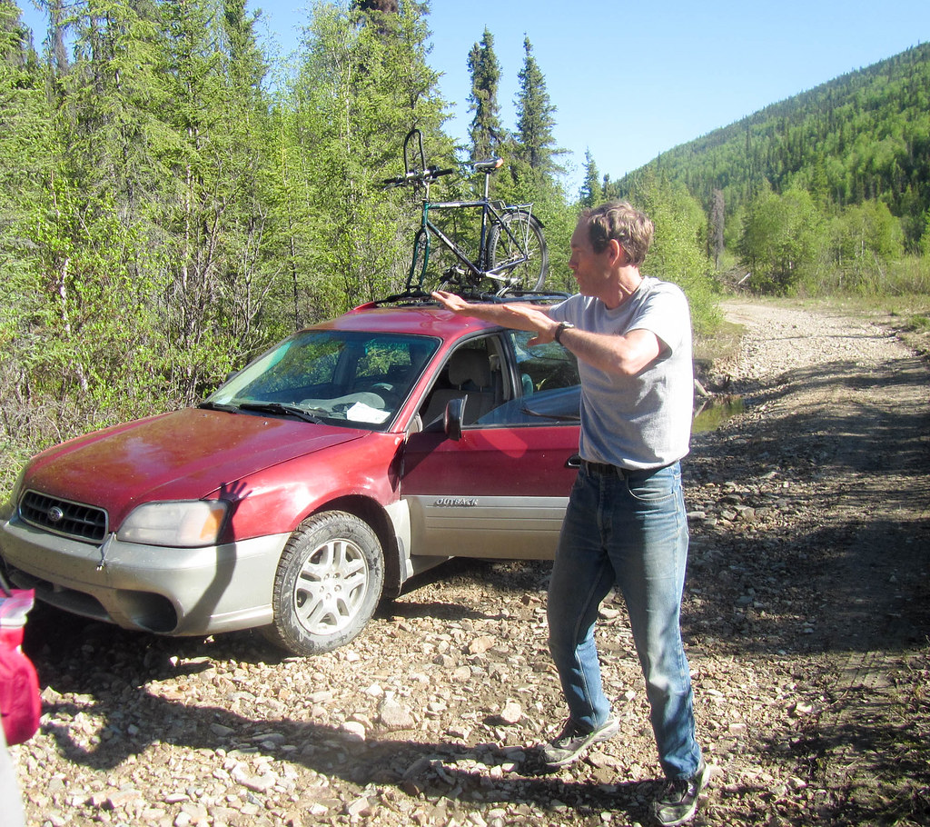
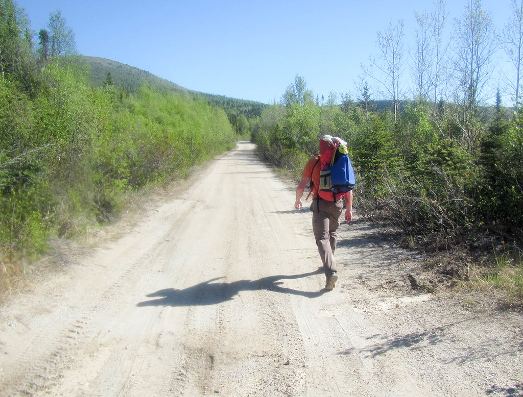
Then it was back to the road, walking, walking, walking.. until Mark Ross showed up.

Alaska cross, chena to central

This is the first year he hadn’t done the race, and I think he was not sure what to do with all his nervous energy.

Alaska cross, chena to central

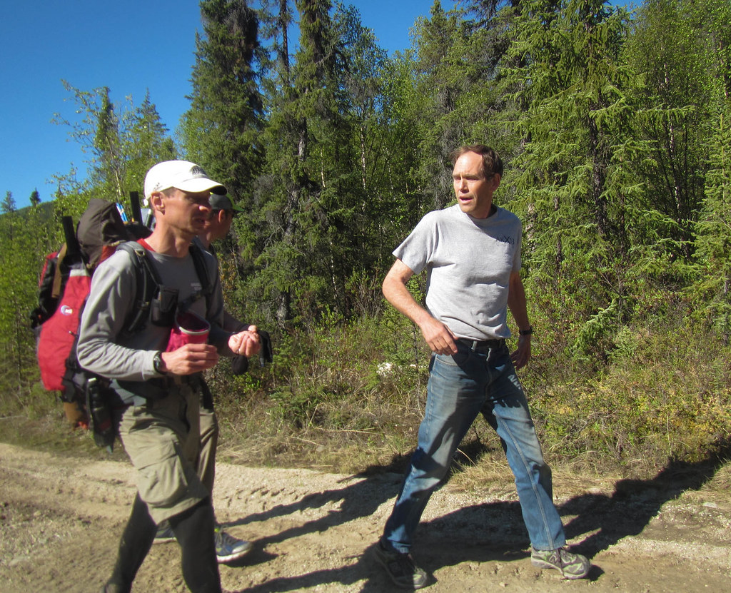
Eventually Mark drove off, leaving us to enjoy the dry, hot walk by ourselves. Tom, Drew, and then Seth all tired of my slow pace and disappeared off in the distance.

Alaska cross, chena to central

Tired and with sore feet I pulled in 20 minutes or so after Tom and Drew, and a few minutes after Seth. Nick and Stefan finished 20 minutes or so before Tom and Drew, and giving them the win. Jenna pulled about an hour after me, looking happy and chipper.

The total mileage was 72 miles, 45 of which was floating. Our average pace including stops while walking was 2.5 mph, 3.5mph floating.

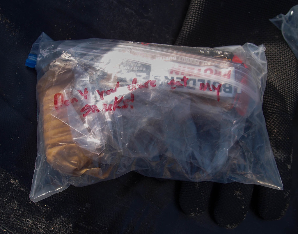
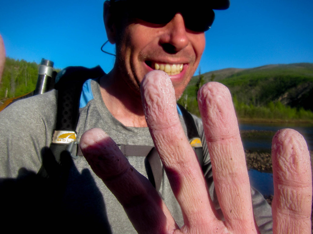
I brought just enough food – I was down to three gels (GUs), two snickers, and a little bit of frito powder when I finished.

Thanks for the company Drew, Seth, and Tom! And a huge thank you for picking us up at Circle Hot springs Trusten – that pizza you brought to the finish really made my day!

A few notes:

  • Like I mentioned, I should have brought more food in case it took me longer.
  • I really felt like I was holding folks up this year, I definitely need to get into better shape.
  • I took my new HMG pack (all the cool folks are using them, got to join in! 🙂 ) on this trip, and it was the first time I have used it in any real sense. I liked it, it seemed to work very well, carries fine. One gripe – it is hard to water bottles in and out of the pockets on the side without taking the pack off, which is a bit of a downer.

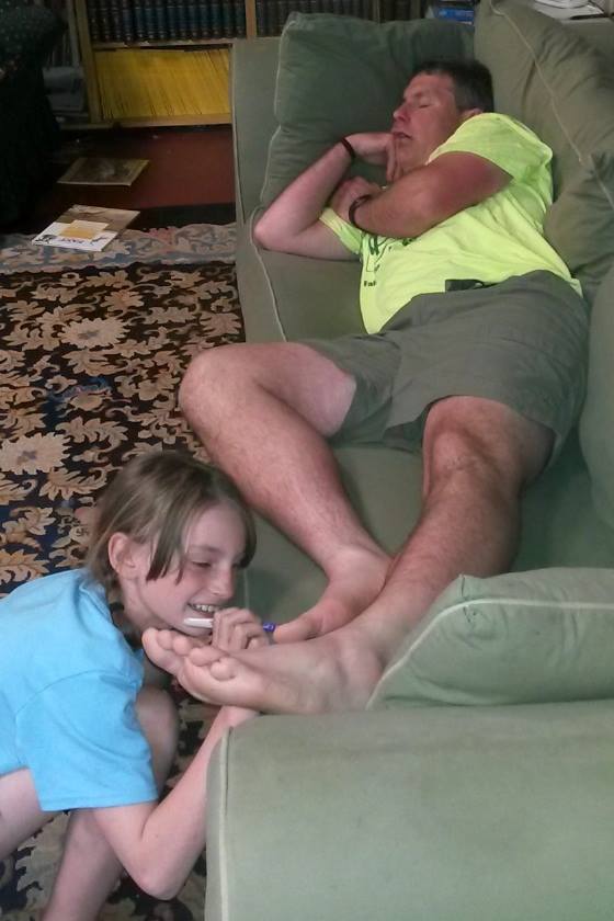
P.S. After I got home I fell asleep on the couch, and was apparently out enough Molly (one of my daughters) could “paint” my toenails blue with a magic marker. Sigh.. 🙂

Map:

Packrafting Beaver Creek with the family..

Saturday, June 10th, 2017

Ever since I got my first packraft I’ve had packrafting adventures on Beaver Creek . This winter, with the hope that I could share a packrafting adventure with my family, I picked up two packrafts that can each hold two people. I was very excited to try them out! I made plans to do the classic Beaver Creek with the family and a few others in late winter (or early spring, depending on your point of view).

Trip day arrived. Our party of 10 included me, Nancy, Lizzy (age 11), and Molly (age 11); Trusten (age 70) and his daughter Robin (age 17); Beth and Constantine; Tom; and Gregg. We piled out of our vehicles to start the adventure. On the drive, Lizzy had told me firmly that she wasn’t going to be happy if it rained. When it started (very lightly) snowing, I pointed out that it wasn’t raining. She was not amused.

It took a while to get going with such a large party, but eventually we were all bobbing along, enjoying the current. The weather was pretty cold and the sun came and went as clouds passed by. When the sun was shining it was pleasant, but when it dipped behind the clouds it was a bit nippy.

Midafternoon we had a serious hail storm, with enough hail for it to pile up on the decks of our boats. LIzzy, who was floating with me, was wearing a neck gaiter, and pulled it up over her face to keep the hail from hitting her.

Beaver Creek -> Elliot highway mile 28

I was a bit jealous how comfortable she appeared to be. After a few hours, though, the twins started raising objections to the floating, mostly involving their cold hands and feet.

Beaver Creek -> Elliot highway mile 28
The adults seemed to be having fun though..
Beaver Creek -> Elliot highway mile 28

Fortunately, we had two days to float roughly 30 miles, which in my experience is about 8 to 12 hours of floating, so after about 5 hours of travel we pulled out and made camp.

I somewhat optimistically pointed to a blue patch and told the twins “Look – blue sky!” to which they pointed at a dark cloud and said “Look – dark clouds!” starting a blue sky, dark clouds chant that became a staple.

The twins and Robin helped Constantine (the master fire maker) make a big campfire, which was a huge hit with its makers (and possibly the adults).

Beaver Creek -> Elliot highway mile 28

Beaver Creek -> Elliot highway mile 28

Beaver Creek -> Elliot highway mile 28

Beaver Creek -> Elliot highway mile 28

Beaver Creek -> Elliot highway mile 28

S’mores were enjoyed, and eventually everyone was tucked in their respective beds. I was excited to find out I could hold up our pyramid tent with two paddles. This was a pretty awesome revelation, and makes the tent much more usable, as there isn’t a pole in the middle of it.

The twins packed their own snacks, and while digging out the next days food I noticed a lack of trust..
Beaver Creek -> Elliot highway mile 28

In the morning we packed up – after another fire of course – and floated to Borealis cabin, where we made a nice fire, warmed up, and dried off. This second day was a bit nicer, with no rain, a bit more sun, and only a brief bit of hail.

Beaver Creek -> Elliot highway mile 28

Beaver Creek -> Elliot highway mile 28

Folks were a bit reluctant to leave the nice warm cabin, but alas we didn’t have it booked and the plan was to hike a few miles and camp on the ridge above the river. Eventually we left the warmth of the cabin and headed back across the river, packed up the boats, and walked up the hill. The twins needed rides across the first creek, and enjoyed nice piggy back rides, but the tussocky climb up the hill was less exciting for them.

Beaver Creek -> Elliot highway mile 28

By the time we made camp Lizzy was pretty tired and was almost to the point of meltdown. However, after some dinner and time enjoying a campfire, Lizzy recovered and headed off to build a little fort out of the many burned downed trees in the area.

[Molly and Lizzy are now old enough to read my blog posts and offer critizen; Molly wanted me to point out that while Lizzy enjoyed the ride, she wanted to walk across, even though it would have been mid-thigh on her. They also offered grammar and writing advice, which was a bit of a mixed blessing.]

The next morning we hiked about ten miles to the shelter at mile 8, which amazingly was empty. Alas, the rain barrel was also empty, and it took a while to find water, but otherwise it was a great place to camp. The twins appeared to enjoy the hiking a bit more, and I had a long discussion with Lizzy about the book series she is reading, the “Warriors series”. She is into those books at the moment, and it was great to share the experience with her.

Robin hiked most of the way barefoot, and arrived at the shelter pretty tired. I don’t think I saw her out of her sleeping bag the entire evening.

Beaver Creek -> Elliot highway mile 28

The twins did not enjoy how much brush there was on a few sections, though. There are several miles of trail where the alder are growing in the trail and it is easier to walk off the trail than on it. The day was a bit long for them, and I was impressed by how well they handled it.

Beaver Creek -> Elliot highway mile 28

The final day went by quickly, with slightly less mileage, less elevation gain, and a much easier trail due to better trail maintenance. The trail is in much better shape in this section, and much to their credit, BLM has made major improvements on a few of the swampy sections – thanks BLM! We were out at the trailhead mid afternoon.

The twins were in high spirits and were pretty bouncy for the last day of hiking. Perhaps a bit too bouncy, as they started trying to steal Tom’s snacks…

Beaver Creek -> Elliot highway mile 28

…and throw snowballs at me.

Beaver Creek -> Elliot highway mile 28

Boat notes :
We have two double person packrafts – a double duck and a gnu. The double duck is slightly bigger, and is very light – I think it weighs about the same as my “normal” packraft. The gnu is a heavier boat, but the two front ends are pretty awesome, and it seems to be the fastest packraft I have floated in by a fair margin. We all used kayak paddles, and that seemed to work fine, though we had to synchronise paddling so the blades didn’t hit each other.

The twins rated the trip:
Floating: 6/10
Hiking: 2/10 when it brushy (Lizzy), 2/10 when it was muddy (Molly), otherwise 8/10
The floating would have gotten a higher rating if there had been less hail and it had been warmer. I think the lower mud and brush rating would have been avoided if I had warned them of the brush and if Molly had brought waterproof hiking shoes. Nancy also was surprised by the brush. Alas, I think the trail gets very little attention from BLM, and is very brushy in a few sections from the river to the shelter at mile 8.

Thoughts from Nancy:

While I was editing the spelling and punctuation in the above blog post, the kids kept looking over my shoulder, so I put off the job until after I tucked them in for the night. When I came back from tucking them in, I found that the cat had added her own edits, consisting of about fifty semicolons. Pippin does not like it when we all leave on four-day trips. Neither do the dogs, but they would have been impossibly challenging to include. Thanks to Margaret for caring for the menagerie.

Right. So, for those considering this trip, I’d say that overall, it was excellent. The hail/snow/sleet/whatever were not much fun, but could be avoided by traveling later in the season or heeding weather reports. The approximate schedule and distances we adhered to were perfect, although a three-day version might have been fine without kids. I know Jay usually does the trip in two, with the 10 hours of floating packed into one day and the 22 miles of hiking the following day, but in my mind this doesn’t seem to leave a heck of a lot of time for roasting potatoes in the campfire, building forts, stealing Tom’s candy, discussing the iffy state of the world, and admiring Gregg’s impressive camp cuisine.

As far as difficulty goes, the float is easy, and perfect for beginners. The worst mishaps were brief groundings in shallow sections. The hike is not terribly difficult, but as noted, you can expect to have sodden, muddy feet. The dense, scratchy brush obliterates the trail for miles at a time. Lightweight but rip-resistant pants are strongly recommended.

Thanks for a delightful adventure, everyone!