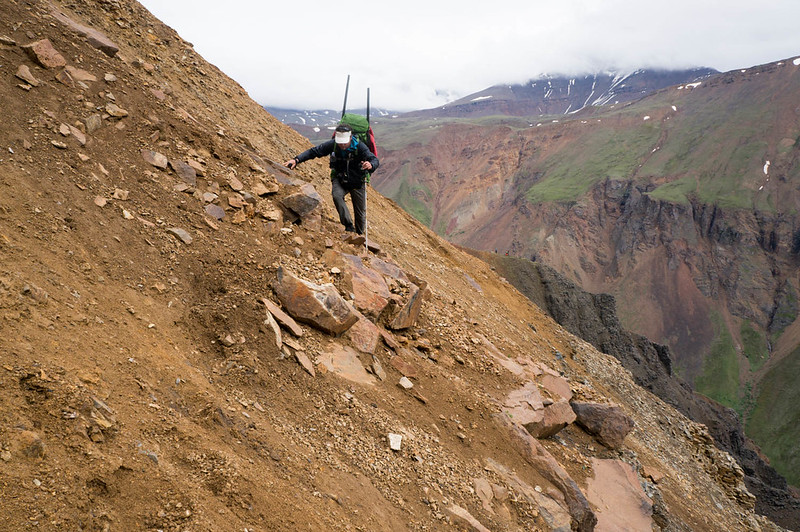
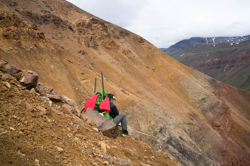
Posts Tagged ‘hiking’

Alaska Mountain Wilderness Classic 2021

Wednesday, December 29th, 2021

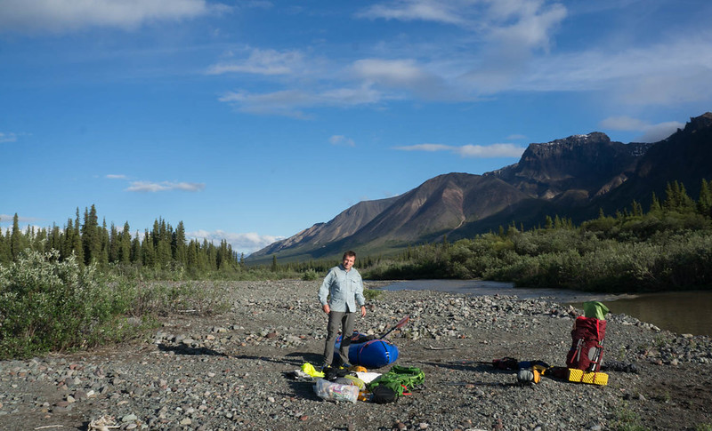
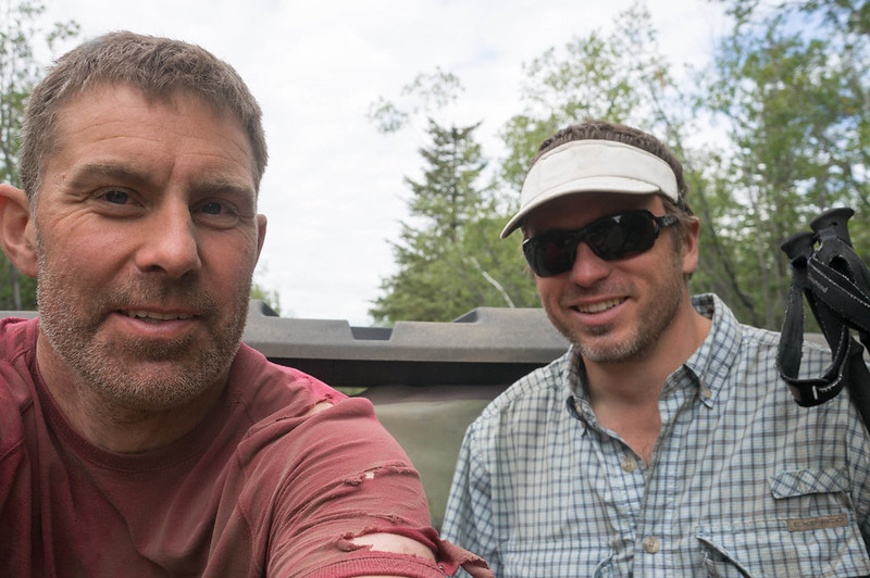
Bob and I were packing up on the side of Caribou Creek, looking forward to the last 15 to 17 miles of hiking to the finish.   A super cub flew over us, then came back to fly circles fairly low right above us as we got ready for our final hike, packing up our boats and our floating stuff.   It kept flying circles above us, and Bob and I gave them several thumbs up to make sure they knew we were ok.  Oddly, they kept circling above us.  As we got ready to go we speculated what they were doing: 

“Maybe looking for someone’s boat?”

“Maybe someone is lost and they are looking for them?” 

“You sure your Inreach didn’t go off?” 

When we packed up, and hit the trail, we soon figured out why they were circling – we had taken out a few miles early on the wrong trail. It was marked clearly on our GPS – very obviously. Had I actually checked I would have known we were taking out at the wrong spot. There was a connector, but that turned out to be a lot longer than anticipated.  We finally reached the trail we should have taken out at, over two muddy hours later.   Sigh. 


So, this post is a bit wordy – it is hard to condense this experience down to something short and pithy, and that is of course beyond my writing skills, so to feel free to skip to the end to just look at photos.


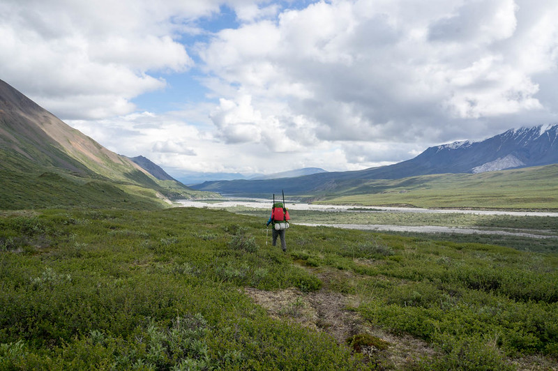
The Alaska Wilderness Summer Classic is a point to point human powered event.  It is now in its 40th year, and the last year for the current route, which is from the Cantwell area to Sheep Mountain Lodge near Eureka. It switches every three years normally.   Last year Tom and I did a mostly overland route, and I was really looking forward to taking a boat and getting some floating in this year.  Alas, my normal partner, Tom, had back issues that were looking like they would be severe enough to require surgery, so he was out.   

Note – Tom ended up needing surgery, and finally got the operation done the week before the classic, and is recovering fine.

I am  too big of a wimp to do the whole route by myself.  Besides the extra safety factor, although  I am not a people person, that much time without any people seems like it would be a bit beyond me.  Fortunately Bobby Gillis said he was interested in doing it with me, and so it was a go!   Yay!  One problem is that  Bob walks faster than me and is considerably more hardcore, so I was pretty worried I wouldn’t be able to keep up. 


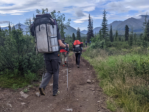
The evening before the start,  everyone met up at the start, attended a mellow pre-event chat, then camped on the side of the road.  The next morning everyone gathered up, everyone fiddled around a bit, then took a photo and we were off! 
AKSWC-2021
AKSWC-2021


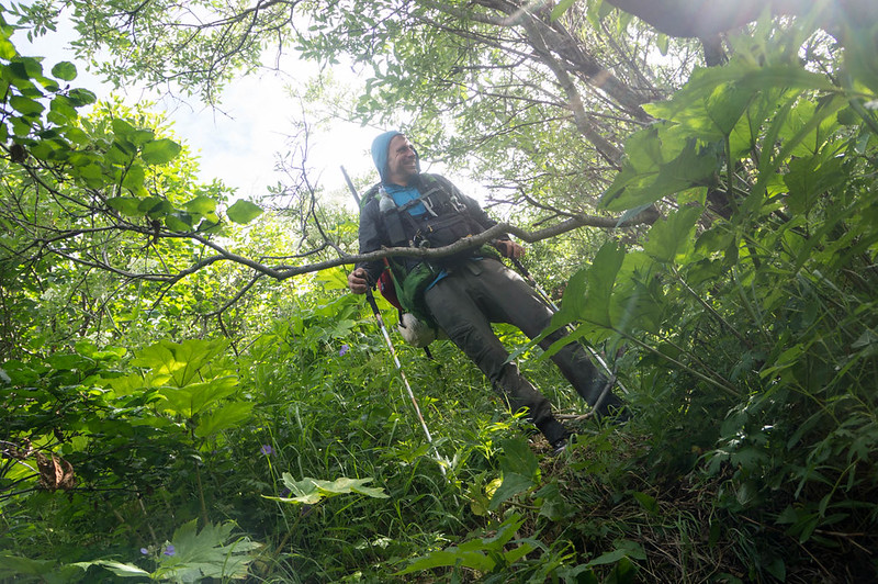
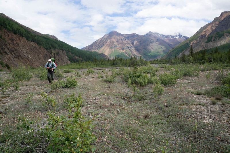
The first few hours flew by.  I was pretty worried, as it didn’t take Bob too long before he was poking me about walking slowly.  After I tried to speed up he didn’t poke me again – hard to say if I actually walked faster or he just gave up on me. 
AKSWC-2021

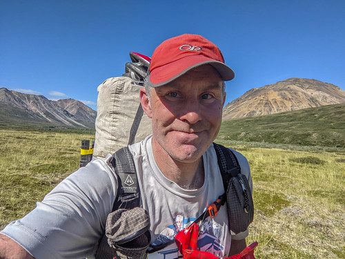
At one point I had to stop to re-adjust my pack.  I have one of those super trendy Hyperlite Mountain Gear packs that everyone loves, and while I mostly love it, it is a bit too floppy for really long days with loads over 30lbs for me, and I always seem to be brought up short at some point with an excruciating shoulder neck pain.  I think this is my last trip with over 30lbs in that pack.  I quickly repacked my pack to move everything of any weight right up against my back and things seemed better.  I also took out the trekking poles I had been carrying, and unfolded them, only to discover the connecting part on one of them had been pushed down into the body of the pole.  I break poles fairly regularly and these were one of a set I had bought to replace another pole I had broken, and for the classic I brought the unused one as I assumed it would reduce the chance of breaking  – but now I was going to carry a broken pole for another 100 miles – arrg!  When we got walking again I was pretty irritated, but happy my shoulder muscles were not killing me.  Thirty miles later I broke my other pole, leaving me to carry two broken pole, sigh. 

It was much hotter than I expected, and I was having a hard time staying hydrated.  I had brought chlorine dioxide tablets, which treated a quart at a time but required 20 minutes of waiting.  For pretty much the whole way I was filling up whenever I had a chance, tossing a pill in, waiting anxiously for the 20 minutes to go by, then chugging.  If I had been thinking more clearly I would have brought the uv wand for faster treating and to carry less water.

It was hot enough that Bob was worried that his bacon would go bad, and he offered some, which I took “some” as most, and nearly choked myself to death cramming a huge wad of it into my mouth.  I survived, but Bob didn’t offer me any more food. 

Near the headwaters of the Jack we saw a huge group of people on the other side of the valley that looked oddly well organized – everyone was in a line, and their tents were in a pattern. We were later to find out they were a NOLS group on a several week trip.

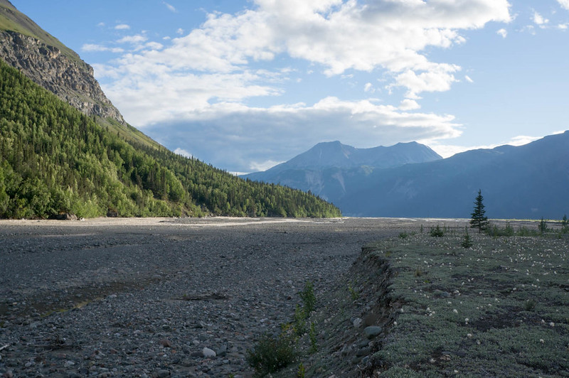
As the hours zipped by, we gradually made our way up the Jack River, and down to Tsusena Creek, where we passed the leaders, Matt, John, and Brian,  blowing up their boats.  The water looked pretty thin, so Bob and I kept walking, waiting for another tributary to come in before putting in and floating.  The creek was a bit low on water, but the floating was non-threatening and bouncy at times.  It was much faster and more fun than walking along it like I did with Tom the year before.  I only have a few landmarks to watch for along the creek, and was in constant searching for the tree stand Tom and I had walked by.  It was hours before we passed it.  I think Bob quickly got sick of me constantly looking for it, and mistaking various bushes for it. 

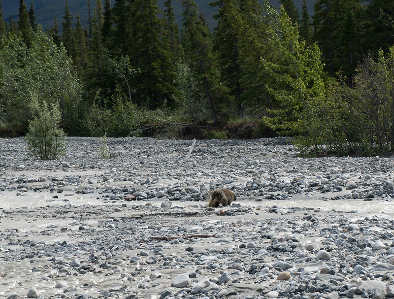
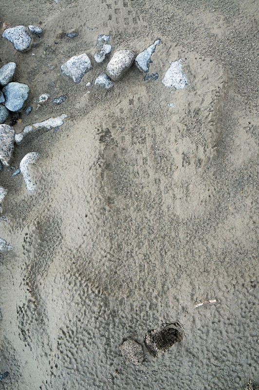
A few hours into our float, well past the point where we dropped back into the treeline, Bob was slightly ahead of me, and just ahead of us on the river’s  left there was a huge brown bear, with its head in the water, big butt up and facing towards us.   After I realized Bob had not seen it yet, I started to panic, worried we would float right into it, surprise the bear, and have it bounce us around like beach toys.  After much panicking I finally got Bob’s attention, and we pulled over, only to discover it had wandered off.  Yay!  This was the first of several bear miscommunications – apparently I just suck at communicating.  We continued floating until we finally took out just after the sunset, cold and wet. As we packed, up the “leaders” – Matt, Brian, and John – floated by us.  We had been in the lead for the whole float – yay!  Apparently walking instead of floating had been a good call.


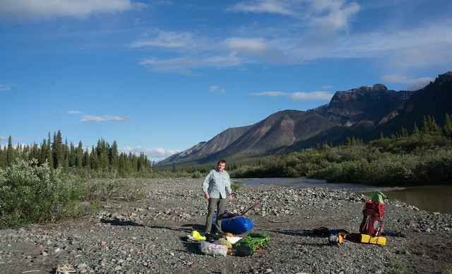
Bob and I packed up, hiked over to the Tsusena Lake, floated across the lake in the dark, arriving at the far shore where I staggered off to find a place to camp for a few hours.  Morning came too soon, and we were off again, hiking over to Deadman Creek. 

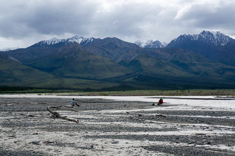
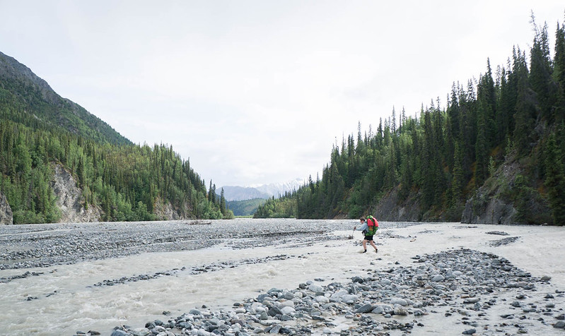
At one point my watch warned me that I should get more sleep and my recovery would be reduced. Hah, if only!  The next few miles were a slog.  We tried the direct route and that didn’t work as well as we hoped –  there was lots of not so good walking, and brush.   We did hear another group at some point, and Bob saw them briefly, and they seemed to be moving much faster.  We made it down to the Susitna, where we inflated, crossed, then hiked up out of the river valley in the boiling hot sun.   I don’t do well in the heat, and I was hammering down water.   It was quite a contrast to last year with warm nights and hot days. 

As we hiked up Fog Creek we saw two groups in the distance behind us, which we assumed were other AWMC people, but they were traveling slowly and soon dropped out of sight.  In retrospect it is possible they were another group?   In the early hours of the morning we camped just above Tsisi Creek. 


The next day we hiked over to Kosina and there our route diverged from the route I took last year, and we headed up river. 

The internet has said the Kosina was great walking – and there was some wonderful walking in there, but while there was some good walking, but a lot of trudging through wet swamp.    

Unfortunately Bob’s knee was starting to give him trouble, and by the time we made it to the second tallest pass of our route it was starting to look like things might be over. 

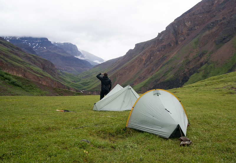
After several rounds of inreaching, we decided to give it some rest, and set up camp near the top of the pass looking down on the Black River, far below us.   The advice relayed via the inreach from the marvous Dr Leistikow, my wife Nancy, and Bob’s partner Lee (who is a nurse) said to tape it and rest it.   Bob taped up his knee, and then we went to bed, planning to sleep in, and hopefully all would be well in the morning.   Just as I tucked into my tent it started raining, and I invited Bob into the vestibule. 

An ode to my tent – a sidebar.  Fifteen years ago when the twins were tiny, I looked around for small, light tents that would fit all four of us, and found a Tarptent Rainshadow 2 – an under 2 lbs tent for three adults.  Our family used it until the twins got too big for it, then moving on, but I liked the designs of the Tarptents enough so I got another one, the “Moment ”, a single person tent.   This summer, I noticed Tarptent was making a tent that was just 17oz – the Aeon Li and it looked like I could fit into it – yay!   It was  expensive, but I figured in the classic I would get at least a few nights out of it, so it could be worth it so I bought one.  I figured four nights in it would cost about the same as a cheap hotel.. I am glad I did – it isn’t quite as roomy as the Moment, but it is fast to set up, roomy enough, and has a wonderfully large vestibule that fits Bob in a pinch.  A lot of other folks use plastic bags, tarps, or bivvies, or other small sack like options in the classic, but I just don’t think it is worth it – saving a few ounces and being unable to sleep due to bugs or rain seems like a poor tradeoff.  I also brought one of the twins’ sleeping bags (the lightest one we own), and a short foam pad.  Bob was using some sort of plastic sack, down pants, and a down jacket.  I think my total sleep stuff weight was a little under 3 lbs, which I think was weight well spent, as it let me enjoy the limited sleep I could get.

Bob isn’t a tall guy, so he fit fine, and when it started raining as we went to bed, I offered him the vestibule and he joined me in the tent.  He looked more comfortable than he was in his plastic sack, and I quickly drifted off to sleep.  We ended up sleeping close to 10 hours, and when I woke up I felt completely normal and totally refreshed – yay!   Bob’s knee was better too, double yay! 

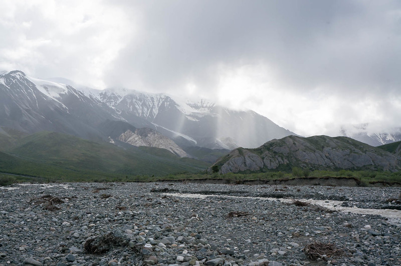
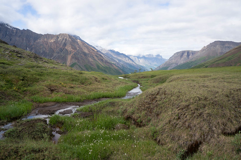
Soon we were zooming down to the Black RIver, and up to another pass.  The Black River valley is beautiful, but oddly the Black River is glacial, and very white. 

White River would be more appropriate..  Unfortunately now my knees were starting to hurt and near an old crashed plane we stopped and Bob did up his feet while I attempted to fix my pole with the slipped insert in hopes that would help.  Finally with the use of Bob’s pliers I managed to pull the insert out and super glue it in place – my pole was working again!   Yay!  The headwaters of the Black expand out into a huge open bowl with a landing strip marked out by cairns.   Just as we passed the landing strip I noticed two people hiking down a far ridge, and after I pointed them out we sped up – competition! 

The next pass (the second to last big one) was an easy walk up topped by a loose screen field.

Above us, seemingly an nearly infinite distance away, a caribou walked the ridge above us, running along the ridgeline as if to taunt us about our slowness.  Topping the ridge we dropped down into a beautiful valley with a small creek that quickly dropped into a deep channel, eventually reaching Nowhere Creek. 

While researching the route I had read that Nowhere creek had lots of petrified wood, and much to my excitement Bob pointed out some huge chunks of petrified wood.  Bob works for the Alaska Division of Geological Surveys and is a geologist, so there was much discussion of rocks and geology, but petrified wood was one of the highlights for me!   


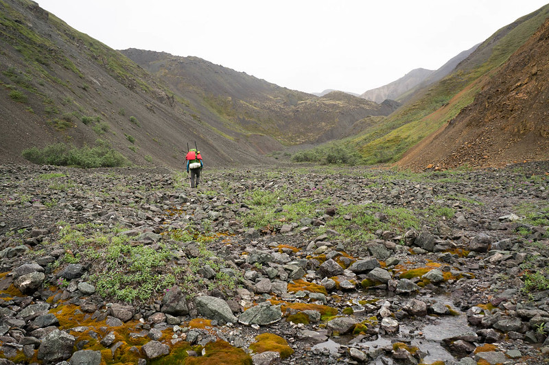
After crossing Nowhere Creek we headed over the Oshetna, following an amazing maze of caribou trails winding through the tussocks, eventually camping after dark just below the final big pass. 

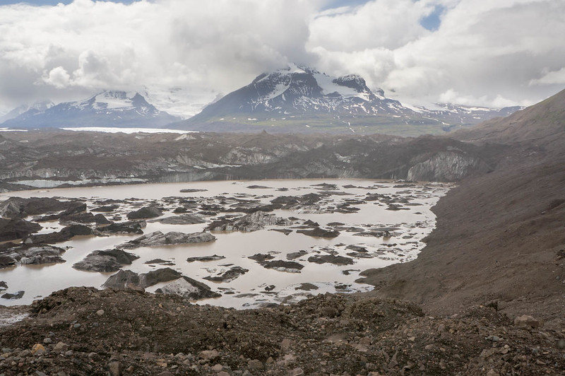
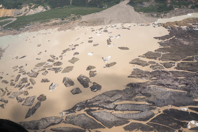
In the morning it was up and over into the Caribou Creek drainage, where we hiked on the west bank until running into an uncrossable flowing mud stream, something that I had never seen before. 

The mud was actually flowing down like a stream, with large rocks floating down it, and it was nearly bottomless – I couldn’t feel the bottom with my trekking pole.  Bob was in full on geologist mode, and was super excited by the muddy stream of certain death.  It was not going to be possible to cross it..  

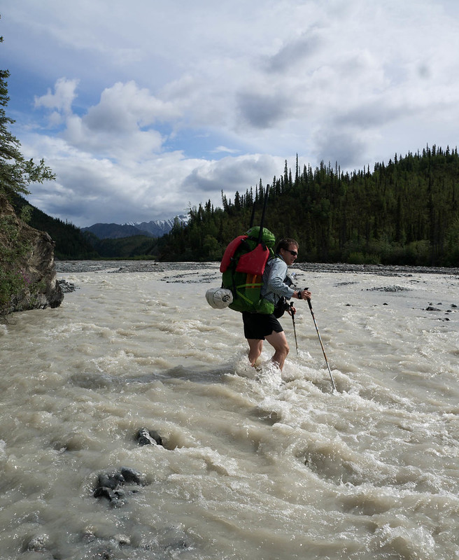
We tried going down to the creek, but found it to be entirely blocked off with very soft and deep mud – it was either deep water, soft mud, or both, and thus uncrossable without swimming.  We then headed back up a quarter mile before finding a place where the lake was shallow enough to cross – it was still up to my chest though, and very opaque so I had to feel my way across and hope my pack would float enough I could hang on to it if there was a drop off.

Fortunately no drop off was encountered so we climbed up the other bank and enjoyed a wonderful “sound of music” hillside walk down to the ATV trails that we took to where Caribou Creek was floatable. 

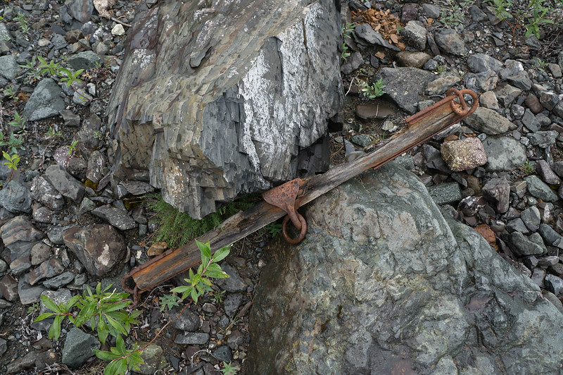
The ATV trails were fast walking, and were littered with lots of interesting relics from old mines.  

We did run into one more section where the creek was dammed up by a huge mudslide, and this time went completely around it, only to find the mud was asphalt hard.  

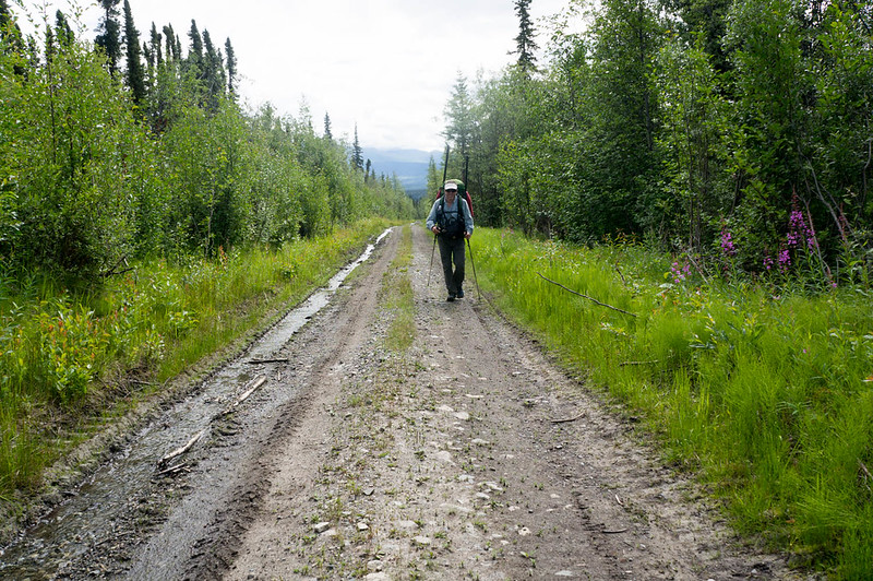
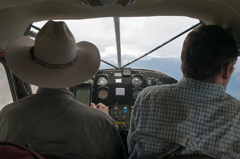
There was lots of speculation between Bob and I if both slides were the result of the same weather event, as we didn’t see any signs of other slides.   Feeling a bit silly, we walked over the rest of the mud slide back to the ATV trail and then on to where we put in.  I was pretty worried about the float, as I had heard it was class III and IV, but it turned out to range from mellowish to bouncy class II, and we zoomed along, enjoying the float.  Eventually we reached what we thought was the take out, packed up while a super cub flew circles above us, before finally leaving just as we discovered we had taken out at an ATV trail a few miles upstream of the actual trail we wanted to get.  Oh, well, what’s a few miles..  well, a lot, it turned out.  The “extra” bit of trail we took was muddy, rutted, and had several climbs including one that seemed to go straight up.  I have no idea how ATVs get up that climb. Those folks must be crazy! 


Finally we reached our actual take out, and hiked up May Creek trail, where I filled my remaining freeze dried meal with cold water and hiked along, hoping it would hydrate and I could enjoy a nice final snack. 

The last few hours zoomed by, as we hiked up May Creek trail, which was less muddy than I remembered, across the beaver swap of doom (which now didn’t have any swamp), and up and over the ridge near Gun Sight & Sheep Mountain, before heading down to the old abandoned highway. 

We were supposed to avoid walking on the Glenn HIghway, and last year Tom and I were forced to walk along a utility cut, but I vetoed that this year – there is no way I was going to be walking though folks property at midnight in the dark, someone would likely shoot us!  Instead we walked the highway for the last few miles, getting off as trucks came by, zooming along in their bubbles of light.  We finally pulled into the finish at Sheep Mountain Lodge a little after 1am. 

I was saddened to find that I had forgot to pack any food in the truck besides a few Muscle Milks, but Bob was nice enough to give me his remaining freeze dried meal, while he had a ramen noodle packet, topped off with a few beers – the finish trailer was well stocked with beers.   Such a fine finishing feast – thanks Bob, I will always be thankful for that meal!
In the morning we caught up with John, Brian, and Matt who finished 17 hours or so ahead of us, and enjoyed a huge breakfast, before heading back to Fairbanks. 


Thanks for the company Bob, this was the adventure of a lifetime! 
Of course, a huge thank you goes out to my family for letting me disappear for a whole week, only to be asked random medical questions about knees via inreach, and then come back all sleep deprived. Thanks Molly, Lizzy, and Nancy!

And finally, a big thank you to Matt K for organizing. Thanks Matt, it is a lot of fun!


Some thoughts 

Gear

I brought a 30 degree bag I originally got for my daughter lizzy and a short section of closed cell foam pad.  It worked great.  

I took a tent, an Tarptent Aeon Li. ( https://www.tarptent.com/product/aeon-li/ ) . It rocked. 

We took an older MSR Pocket Rocket and a quart-ish pot for heating water for freeze dried meals.  Totally worth the weight I think. 

Foot stuff – I bought ¾ of a roll of Lukotape, and still had lots left at the finish.  I brought a fairly large amount of homemade hydropel replacement, and used lots.  I used some inov-8 RocLite 300 shoes, and they worked fine but were toast by the end.  I wore a thin liner sock and a thick outer sock. Mostly I was quite happy on the foot front, and finished with just two small blisters. 

Boat stuff – I took a dry top and float pants.  That worked fine, but would have been cold if I swam.  It was lighter than any other option I had.  I had a “normal” lama boat with am white water deck, Bob had one of the newer narrower boats with thigh straps.  We both had pfds, and bike helmets. 

Clothing – In addition to what I was wearing at the start, I took an extra top, bottom, a puffy synthetic top, and one set of extra socks. 

Navigation Stuff – Bob and I used cell phones for navigation.  That worked great, when we looked at them and didn’t do dumb things like take out earlier than we where supposed to. 


My total pack weight was a little under 40lbs.  Which seems pretty heavy. 

Food

I took roughly 12 lbs of food, plus four full size freeze dried meals. Two of the freeze dried meals were the jumbo Expedition Foods (https://expeditionfoods.com/ ) 1k calorie meals – and those were great.  The last one I had with cold water on Squaw creek trail, which was surprisingly good. Otherwise I was pretty unhappy with my food selection –  I needed more variety and easier to digest food.  My notes from last year told me to bring more variety and easier to digest food, so maybe I should read my notes and not stupidly repeat my errors.  I did take some fatty meat sticks’ ‘ and they were great and went down well.  I ate almost all my food. 

Route

The route we took this year was great – it was fast walking for the most part, and floating cut out a lot of time.  The walking was mostly good,and in parts it was fantastic.  The walking in the Oshetna and Kosnina valleys had some sections where it wasn’t as good as I would have liked, but otherwise it was mostly pretty good.  The area is super scenic, much more scenic than the ATV trails I took with Tom last year.  However, I think the walking on the ATV tails is actually a lot faster, and that still might be the “fastest” route, if a boat is taken to float Tsusena Creek.   Floating Tsusena Lake was also a time saver, and it was very neat to float across it in complete darkness.  Caribou Creek was a blast, super fun! 

What I would Change

I would take another water treatment system, like a steripen for faster hydration if it was hot.

I would take different poles.  Those black diamond poles I have been using suck, with their connector pieces coming out at inopportune times.

Better food choices.

Reduce! My pack was ~40lbs, I should be able to get it much lighter. 

After Effects

Last year my feet swelled up a ton.  This year I used compression socks just after I finished, and while my feet swelled a bit, it wasn’t nearly as bad.  However, my knees were super sore after finishing, and it took weeks for them to feel normal again.  I need to figure out something so these things are easier on my knees. Otherwise I was mostly intact at the finish. 
No snow..

Tuesday, November 29th, 2016

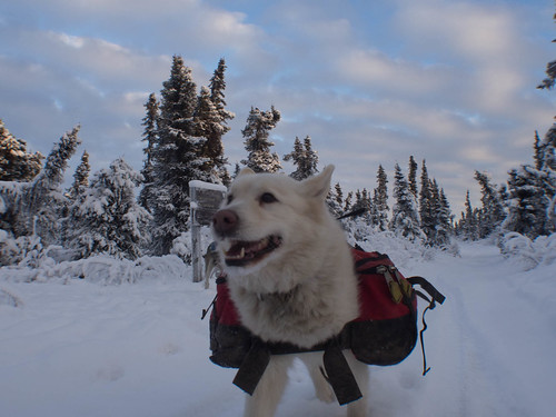
It has been a pretty low snow winter so far. It some ways it is good and has allow for some interesting adventures but the trails are a bit bumpy. A friend invited me out to Borealis cabin in the White Mountains NRA for an after thanksgiving trip, and since the family is in play this winter and spending the weekend in rehearsal, I decided to disappear.

Hike to Borealis and Eleazars

Marsh headed out the day before, heading to Borealis, where Tom and I would join her, spending the night at Borealis, then heading to Eleazar’s for another night, and then back out. I really wanted to bike, but wasn’t sure how the trail was going to be, and ended up hiking, which turned out to be fine.

Hike to Borealis and Eleazars

However, after a few miles Tom and I agreed I wouldn’t mention biking would have been more fun if he didn’t mention Trump for the entire trip.

Hike to Borealis and Eleazars

I think it was an ok bargain..
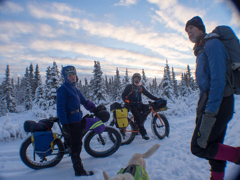
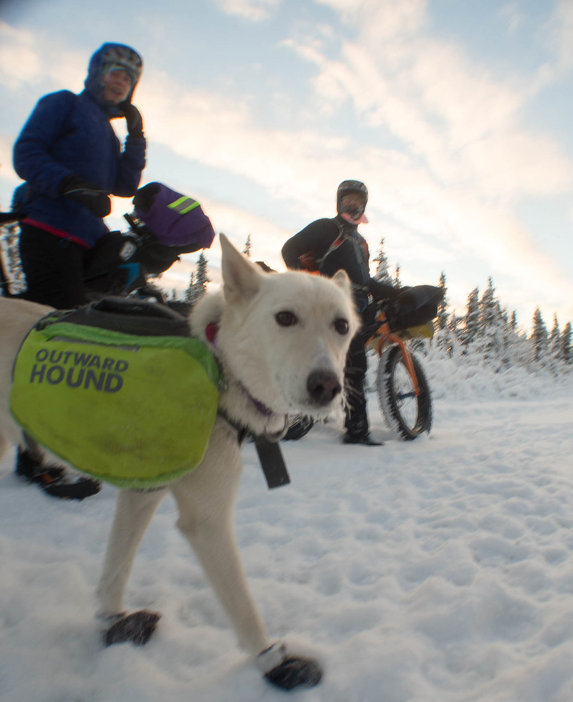
Though running into several parties of bikers on the way in didn’t make it easy. They looked like they were having fun.

Hike to Borealis and Eleazars

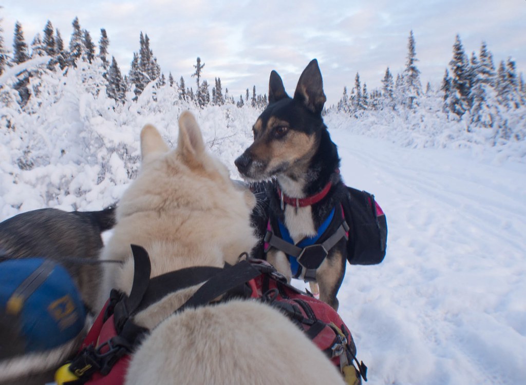
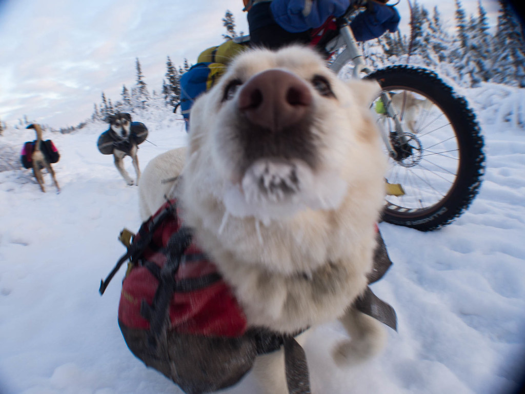
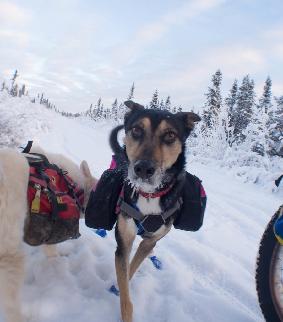
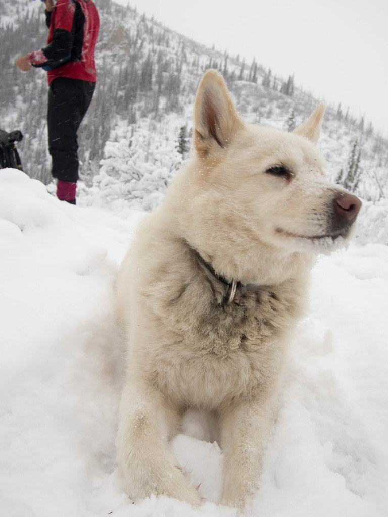
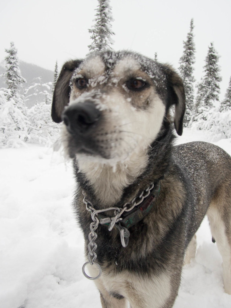
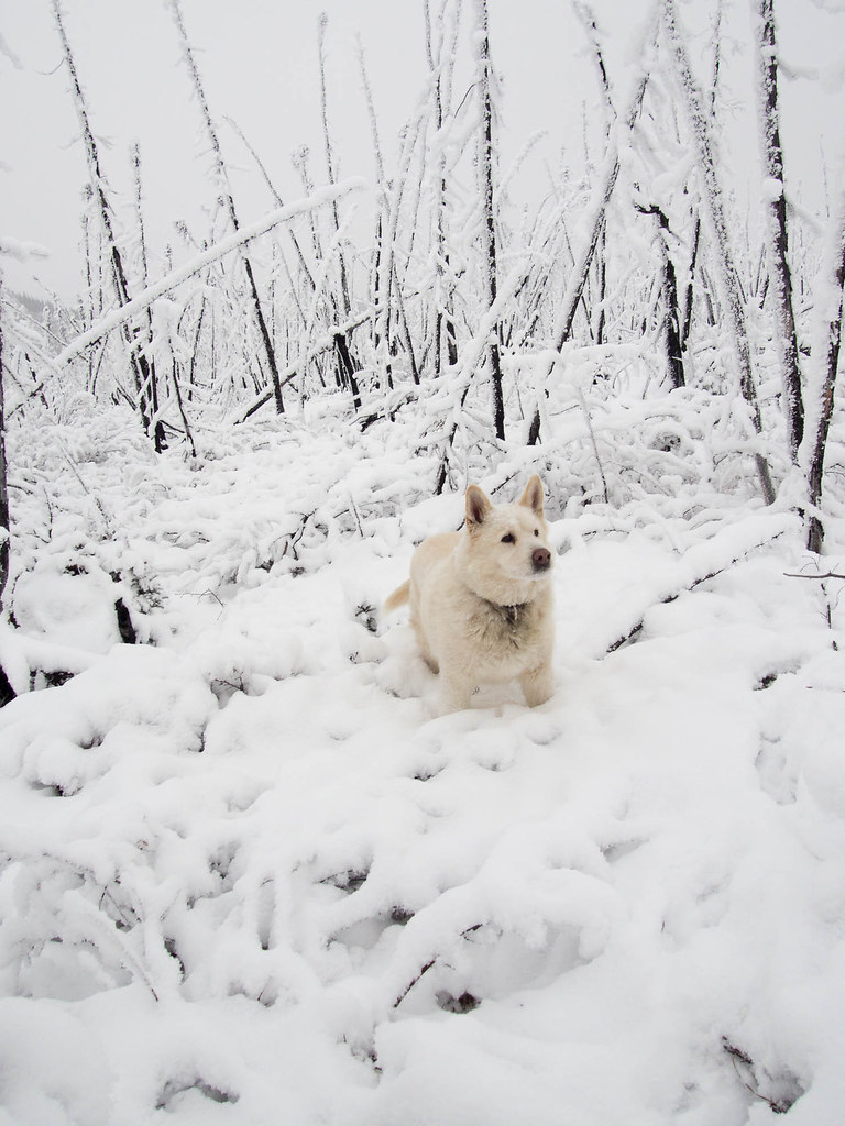
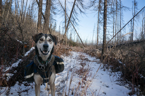
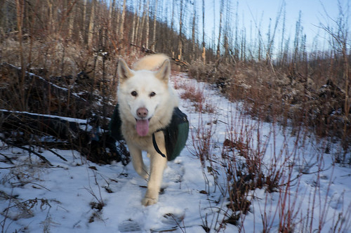
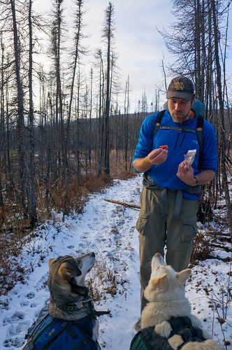
The bikers came with dogs though, and Shiloh and Remus were very excited to meet new friends..

Hike to Borealis and Eleazars

Hike to Borealis and Eleazars

Hike to Borealis and Eleazars

Hike to Borealis and Eleazars

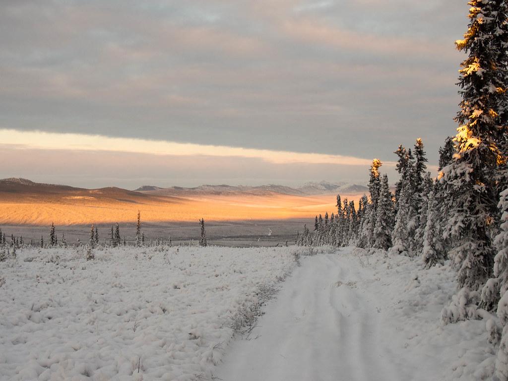
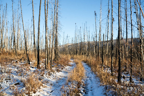
Eventually we said good by and headed down the trail. The walking was pretty good, but the light was fantastic.

Hike to Borealis and Eleazars

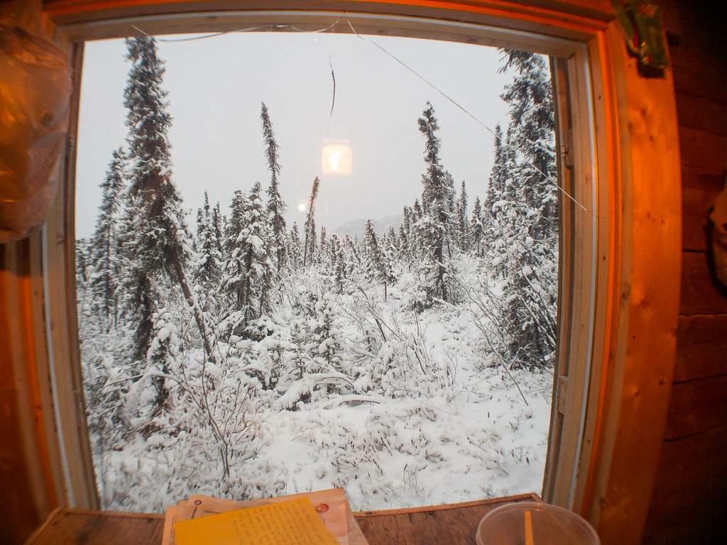
After 7 hours of hiking we arrived at a warm and well lighted Borealis cabin, and were welcomed by Marsh. The evening was spent mellowing out and enjoying life.
Hike to Borealis and Eleazars
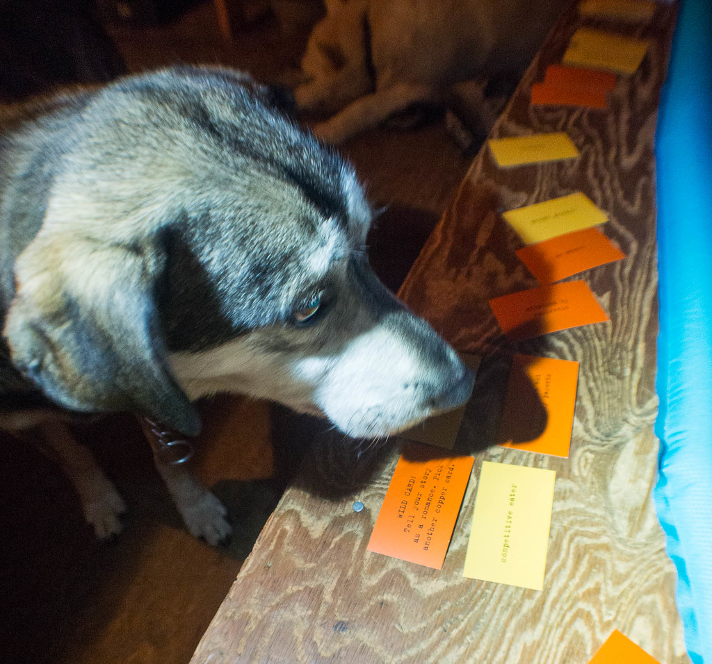
(Shiloh was unimpressed by the story cards).

In the morning Tom and I took off to go checkout Big Bend, a rock formation a bit downstream from the cabin, while Marsh mellowed out, and then headed off to Eleazars.

Hike to Borealis and Eleazars

Hike to Borealis and Eleazars

Hike to Borealis and Eleazars

Hike to Borealis and Eleazars

Hike to Borealis and Eleazars
h
Hike to Borealis and Eleazars

Hike to Borealis and Eleazars

Hike to Borealis and Eleazars

Hike to Borealis and Eleazars

Hike to Borealis and Eleazars

After turning around at the base of Big Bend, we headed to Eleazar’s for the night, then hiked back to the car in the morning.

Hike to Borealis and Eleazars

A great way to spend a weekend. I hope more snow comes soon, I can’t wait to get out on the bike and explore!

A post script : Someone tossed the logbooks at Borealis down the outhouse. It made me a bit sad – it is always fun to look back over the years and read about other folks adventures in these cabins. It is a bit of a bummer someone took that away..

Nabesna To McCarthy

Sunday, July 17th, 2016

A long time ago, in the late 1800s and early 1900s, gold miners hauled supplies from McCarthy to Chisana and Nabesna. I have always wanted to visit the area, and when Heath suggested hiking and packrafting it, I jumped at the oppotunity! The “original” route folks used went from McCarthy to Chisana and the Nabesna/Slana area, but we planned to reverse the route so we could float a bit. The route has a pretty storied history – it was a wilderness classic route in the late 80s, and folks have even taken bikes on it. I was beyond excited for this trip! Another major bonus was that Heath did all the planning, making this the first trip in a long time I didn’t need to think about all that much – hurrah!

We headed out of town midday for the 5 hour drive to Nabesna. Nabesna is on the end of a 40 mile dirt road, and the trip got off to a bit of a rough start when, after passing a couple of small wash-outs on we came to a much deeper one – one that I wasn’t brave enough to drive across. It was a beautiful blue sky day, but apparently it had been raining earlier. We parked the truck safe from the water coming down the wash-out, and after checking out the nearby Jack River, decided to start the float a bit early.

DSC06721

The Jack was near bank-full, and had enough water to be fun, but not too exciting. Besides a bit of wood, the floating was fun. We eventually camped at 11pm or so, a few miles short of our planned put-in spot. In the morning we awoke to clear skies and continued floating, eventually reaching the Nabesna River. The Jack was very scenic, and had a wonderful rock wall section that was pretty amazing. Alas, the water had a lot of sediment in it, and wasn’t clear, but still a fun float. The Nabesna was huge, much bigger than I expected. There were a few big boils and eddy lines that while no big deal, still got my heart racing. On the upside, the water was moving fast, averaging almost 10 mph (I think), and we quickly reached our take-out, near Cooper Creek.

DSC06728

The wash plain of the Nabesna was super wide here, and while we were on the bank of the river, Cooper Creek was still over a half mile away – it is pretty amazing how wide the floodplain is for these large glacial rivers. As we were transitioning from floating to hiking mode I noticed a small plane parked in the distance. The pilot noticed us, and walked over to talk. After a brief conversation shouted over a side channel of the river, we discovered he worked for NPS, and had flown some rangers out to retrieve some equipment, and they were using packrafts. Hmm, perhaps we had packed up the boats too early. We headed out only to discover the rangers were using the boats to float a side channel of the Nabesna that ran right near the far side of the floodplain, and quickly determined it was too deep to ford… and out came the boats again.

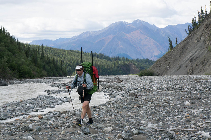
Eventually we made it across, and started heading up Cooper Creek. The walking was fantastic, though a bit cobbly. A mile or so up the creek we ran into a porcupine, which appeared to really want to cross the creek, but didn’t want to get wet.

DSC06737

We watched it a bit, as it slowly walked down the creek, checking occasionally to see if the creek had gone away yet or not. Not the brightest creatures. We also saw a small black bear, but managed to skirt around it without it noticing us. The rest of the day we hiked up Cooper Creek, bouncing from bank to bank, and eventually camped near the confluence of nine mile creek.

DSC06756

DSC06759

DSC06771

DSC06787

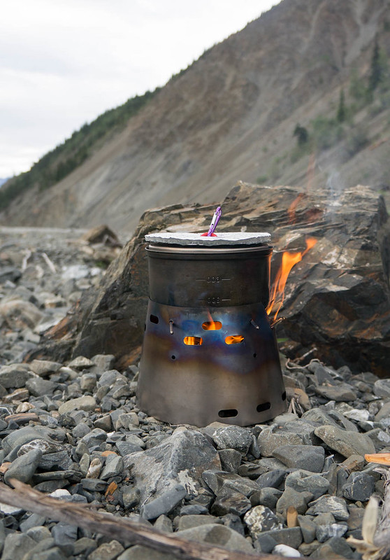
Heath had brought a little wood burning stove, which we had fun using. It was a bit slower than a traditional setup, but the ideal of unlimited hot water was pretty tempting..

DSC06795

In the morning we kept heading up the creek, and I was excited to find my first artifact – hurrah!

DSC06816

I love bits of history that show how places have been used historically and currently. Finding “rusty bits” became a running joke for the rest of the trip.

DSC06830

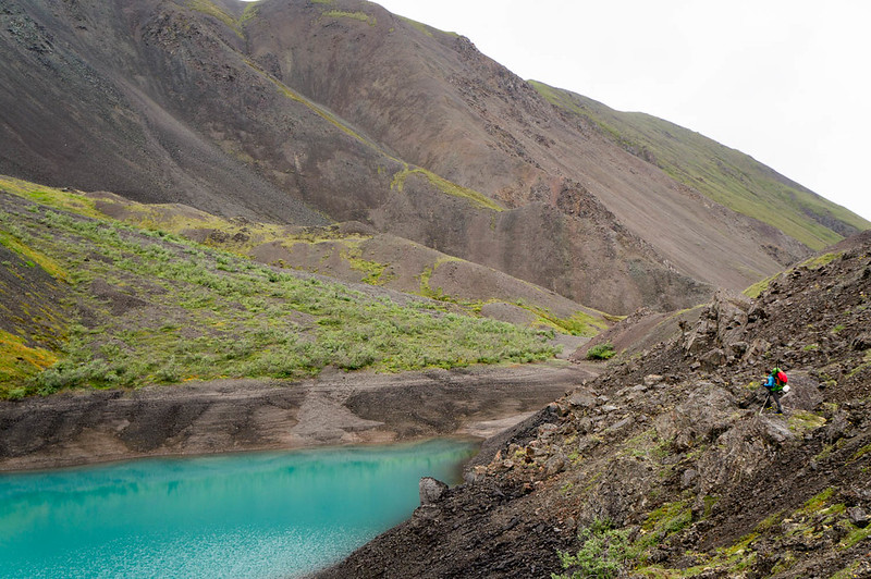
Eventually we topped out at a little pass, hitting Blue Lake, a wonderful little lake that would have been an awesome camping site, but alas, we had to get the mileage on.

DSC06849

DSC06872

DSC06876

We headed over Cooper Pass, and down to Notch Creek, where I found an old collapsed cabin filled with more rusty bits. Notch Creek was pretty shallow, bumpy, and steep, so we walked down it, enjoying more fine cobble walking. Much to my surprise, I saw a set of fat bike tires on the creek bed – it appeared there were some bikers ahead of us!

DSC06882

DSC06887

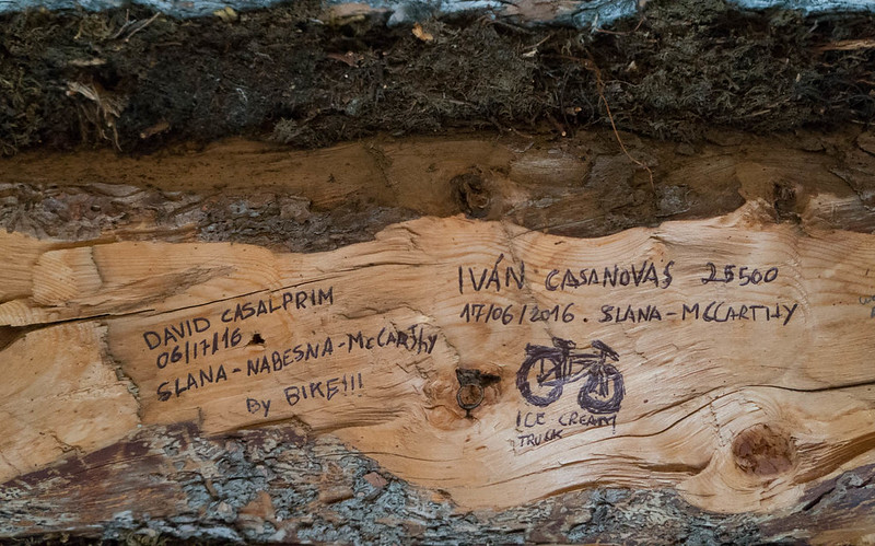
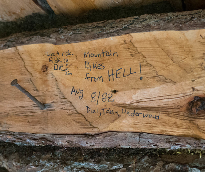
We camped near William Creek, hoping to float in the morning. We camped right next to a small clear stream. I enjoyed an experimental dinner of ramen noodles, dried coconut milk, peanut sauce, and coconut oil. Heath was a bit skeptical – “That is a lot of coconut oil.” was his take on it. I fell asleep to the sound of the water… only to be woken up when my pad deflated at 2am. Morning came two more rounds of inflation later, and my stomach was not happy. Apparently, while dinner was delicious, it did in fact have too much oil in it. I packed up camp and inflated my boat while trying not to be sick. The floating was fun, when Notch Creek had enough water. It bounced between wide braids and a single channel. When it was floatable, it was super fast and fun. Eventually we reached Cross Creek, where everything spread out and got too shallow, so we packed up our boats and headed off for the overland crossing to Chisana. Alas, I discovered that I was so distracted by not getting sick I had left my camera in a pouch on my pack, and it had gotten wet, and much to my disappointment, didn’t want to take photos – sadness! We forded Cross Creek, and headed overland to Chisana. We quickly found a marked trail, and were surprised to see horse prints – apparently folks use pack horses in this area – and we followed the horse trail over to the Chisana River. Alas, the Chisana river was too deep to ford, and so we inflated again, and floated across, then hiked over to Chisana. After hiking seemingly forever across the floodplain, we ran into a small pack of horses who seemed pretty scared of us, and who quickly ran off into the trees. We followed them, finding an ATV trail, that led us to a big complex, where the horses were waiting for us. They couldn’t seem to decide if we were something to be interested in, or scared of, so we carefully headed around them, and walked into town. We had discussed crashing at the public use cabin in Chisana, but we found it occupied by a couple touring Alaska by plane, so we headed out. After several false starts we found the trail heading out of town, eventually passing a clear(ish) stream near town that Heath said would be fantastic camping. I pressed to keep going, as there was another stream, Geohenda Creek, that was only a few miles away. Heath was very unamused to find Geohenda was thick with mud and far from the perfect campsite. We setup camp just as a huge thunderstorm passed by, just getting tents up before the deluge. The rain stopped fast though, and a bit of searching found some clear water, and soon we had dinner cooking, and enjoyed a nice bonfire on a dry channel of the creek. The next day we hiked up the creek, enjoying yet more cobbles and many muddy crossings of Geohenda. Gradually the water level dropped as we headed up into the higher country, and eventually we passed the source of the mud, a tiny creek coming in from a glacier. The country up high was beautiful, and very, very scenic. Our destination for the evening was Solo Mt. Cabin, a small historic cabin near Solo Mountain. A mile or so before the cabin we passed a huge grizzly munching away on the hillside, and I was very happy to reach the cabin just as a rainstorm arrived. I was a bit surprised to see shape the cabin was in – it is obvious at some point the NPS spent some time fixing it up – it looked like the foundation had been replaced, but having the door held shut by baling wire seemed a bit sad. We hung out in the cabin, and after collecting a bunch of dry alder from a nearby creek bed, we enjoyed a nice warm evening with the rain intermittently ringing off the roof. I had a great time reading the “log book” graffiti on the cabin walls, which was sort of a who’s who of all the crazy endurance folks and adventures in Alaska.

DSC06890

DSC06893

The morning came, and with it sunshine, and my camera was sort of working after an evening of sitting next to the fire – hurrah! Alas, sort of working meant that while it took pictures, the display wasn’t working, so it was hard to frame photos.

We hiked across to the wash plain of the White River, and were surprised to see trail markers, leading to a pretty well used winter and horse trail, that eventually turned into an ATV trail that appeared to head to a cabin complex on Solo Creek. We turned off the ATV trail onto an old game trail, as it was heading in the wrong direction, only to find an even bigger one headed in just the right direction. Just as we reached Lime Creek we saw a large herd of horses grazing on the floodplain. I really felt like I had stepped into the old west. Lime Creek was a bit too big to ford though, so we had to inflate to cross it. Once across we hiked a few more miles, then camped. Heath declared it the perfect campsite, with yellow flowers on one side, and purple on the other.

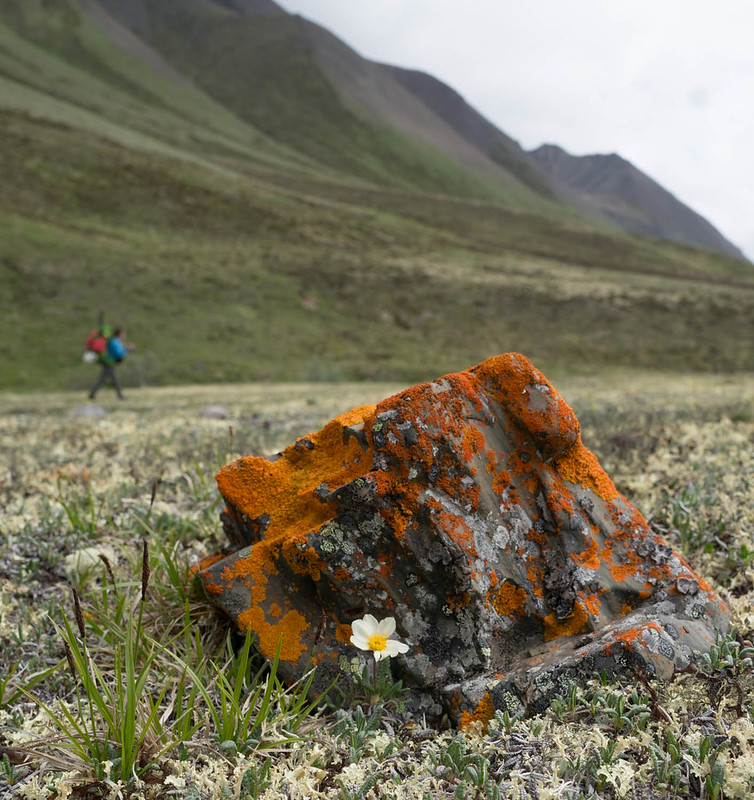
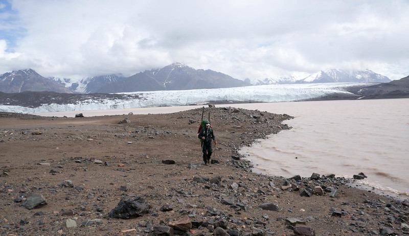
In the morning we headed up into Skolai pass, skirting the Russell Glacier, and slowly working over to upper Skolai Lake.

DSC06921

DSC06925

DSC06946

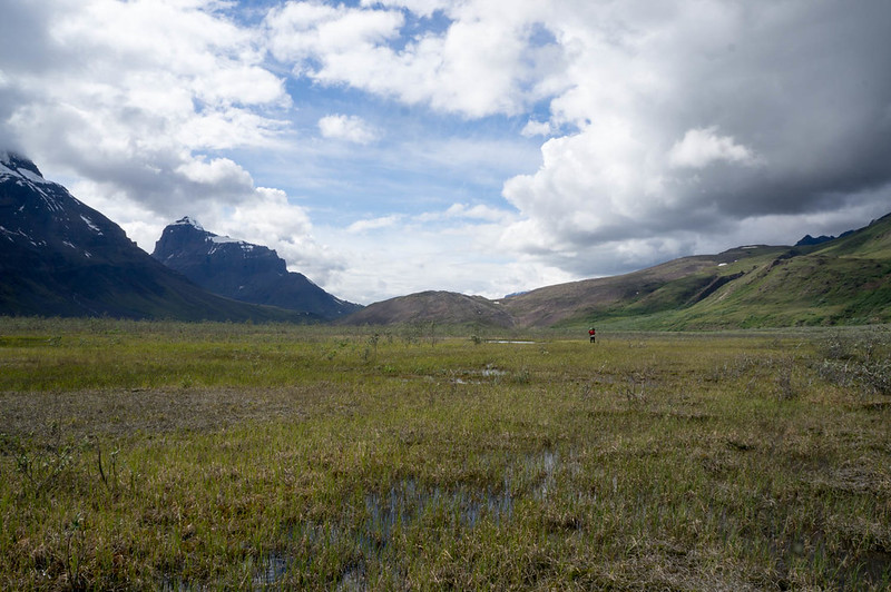
It was fantastically scenic. We worked our way across and over to Skolai Lake, eventually
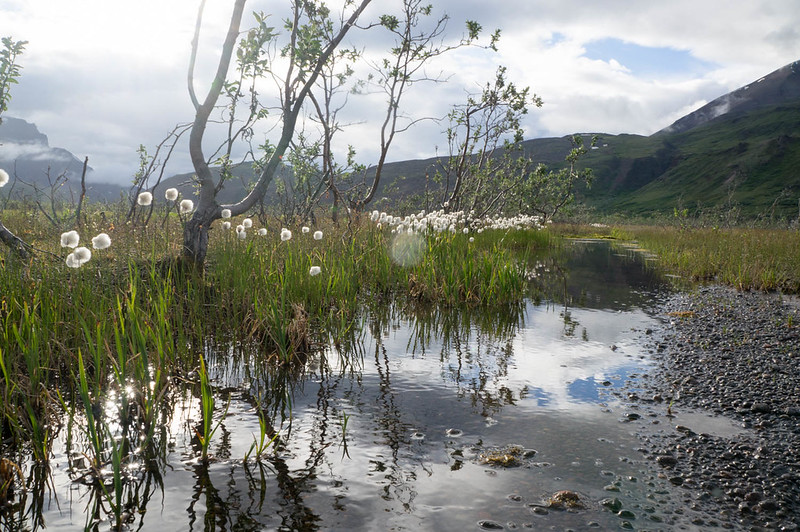
camping near the headwaters of Skolai Creek. The valley the creek originates from is a neat place, wide and marshy, with lots of standing dead willow.

DSC06951

DSC06979

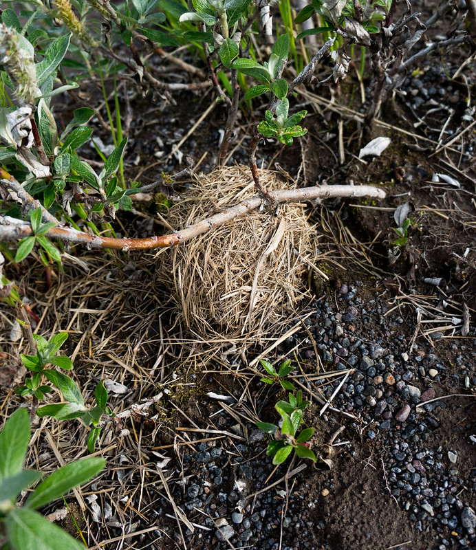
In some willows I found a round ball of grass, which turned out to be a birds nest of some sort – very neat..

DSC06972

I spent an hour or so exploring the valley, and checked out the “cabin” marked on the map, which was more of a three-sided shack.

DSC06963

In the morning we headed up to Chitistone Pass, where it was a near complete white-out.

DSC06987

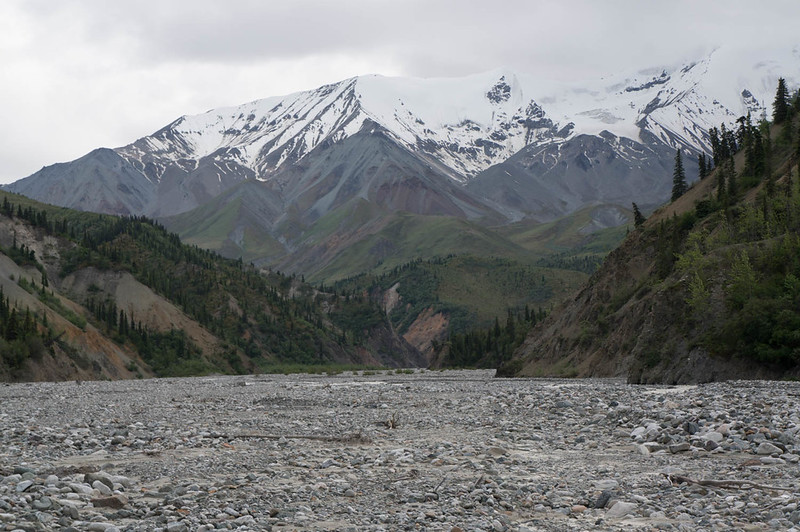
We also ran into the first people we had seen since Chisana, two hikers wandering around in the rain and mist near their tent who refused to return our waves – a bit creepy. Fortunately, we dropped out of the mist, and enjoyed some fantastic walking along the Chitistone River. We eventually saw another party ahead of us, and shortly after that startled a little brown bear who headed off at high speed. We eventually overtook the party, and learned it was Nate and Krista who are also from Fairbanks, and much to my surprise – Krista works with my wife Nancy, and knows my daughters Molly and Lizzy. It is a very small world. Soon we were at the crux of the trip – the legendary scree of the goat trail!

DSC07007

DSC07011
(Heath, checking out the goat trail..)

DSC07015

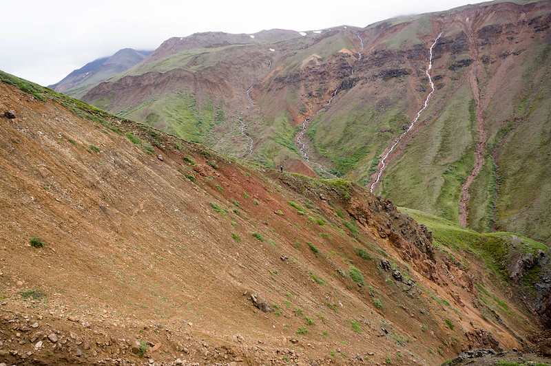
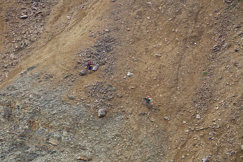
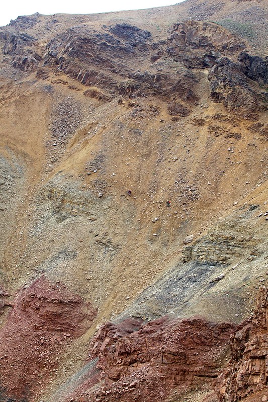
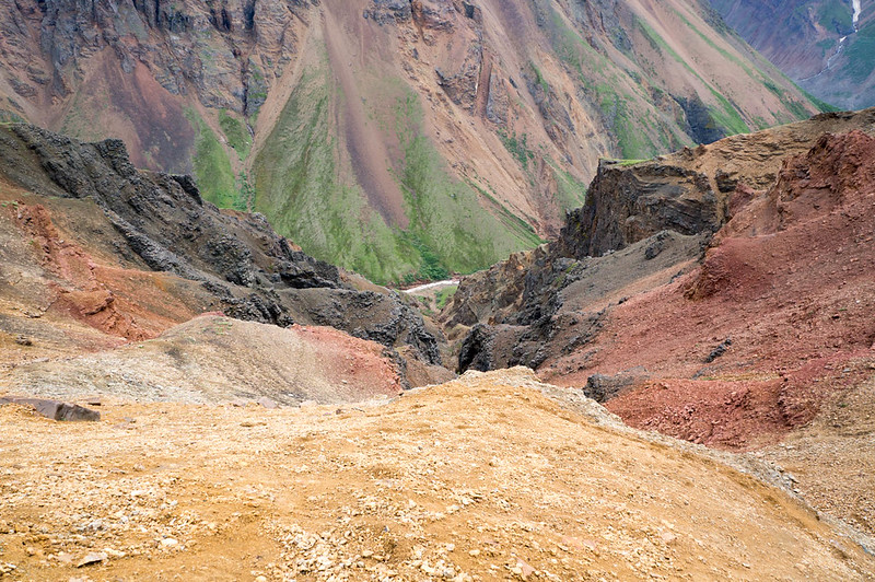
I had been told everything from it was a fairly tame walk across a scree slope, to it was a scary walk along a rock wall above a huge drop, separated by the “gorge of death”. It turned out to be a mostly tame scree walk. I think it could have been possible to fall to your doom, but mostly I think you would have just rolled to a stop before any doom, with lots of bruises and scrapes. I didn’t test this idea though..

We stuck to the “yellow band”, as most folks seem to recommend, and came out without any issues.

Skolai, hole, to Nazina 306
(Photo compliments of Krista Heeringa)

Skolai, hole, to Nazina 304
(Photo compliments of Krista Heeringa)
Skolai, hole, to Nazina 235
(Photo compliments of Krista Heeringa)

DSC07059

DSC07060

DSC07065

Nate and Krista took a completely different route, going quite a bit higher than us, so perhaps we did it wrong. Regardless, it was a super scenic walk, with waterfalls everywhere! After the scree slopes it was just mellow downhill alpine walking, complete with a huge herd of sheep grazing on the hillside in the last valley we passed.

In the evening we camped on a nice bluff, in sight of a glacier and Chitistone Falls – best campsite ever!

DSC07094

DSC07110

In the morning we hiked down to the Chitistone, inflated and crossed the creek when we found we couldn’t get across, and started hiking downriver.

DSC07114

DSC07122

The hiking was mostly pretty fantastic, besides a mile or so of willow thickets that Heath just breezed though, and I had to smash though like a ogre, getting constantly stuck. Very helpful for my self-image…
We eventually made it to Glacier Creek, where we planned to float. The weather had been very warm, and the Chitistone was now running very fast and a bit high, so we put in with a bit of trepidation, but it worked out – the creek was fun, splashy, and fast. After a hour or so we pulled out and camped, as at this rate we would be at the final takeout before we knew it. The evening was spent mellowing out and exploring the Chitistones floodplain.

DSC07131

In the evening we were buzzed by a Supercub. Later we learned someone in a wing-suit had flown over us, and had been picked up by the plane. In the morning we packed up and floated the last of the Chitistone, taking a side channel around a new section of river where the river is chewing into a forest. We floated the Nizna to May Creek road, where we packed up and hiked into town.

DSC07141

Fortunately the really long and boring road hike was shortened when we hitched a ride with Greg from Kennicott Guides on a double-wide ATV.

DSC07144

McCarthy was as charming as ever, with folks stopping to talk to us nearly constantly. The upcoming packrafting festival appeared to be the talk of the town. Heath and I grabbed lunch, then caught a slightly earlier flight back with McCarthy Air to Devil’s Mountain lodge.
DSC07150

DSC07178

We jogged back to the truck, and Heath joked that with my very holey shirt, it looked like I was “A homeless guy chasing a yuppie.” After nearly 6 miles of running, we made it to the truck, drove back to get our stuff, then headed back to Fairbanks – hurrah!

A couple of notes:

  • Don’t use Thermarest with stupid patches. My pad kept deflating, and I was up to two inflations a night before I taped over the patch with duck tape.
  • This route has lots of tricky water crossings. Folks thinking of replicating it should make sure they are ok with big-ish stream crossing, and budget extra time in case some of the creeks (like flood creek, or lime creek) are running high.
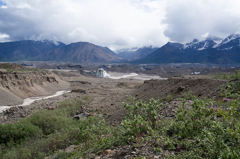
  • The Chitistone was flowing pretty big when we did it, and above Glacier Creek it looks pretty burly – lots of water moving fast. Below Glacier Creek it was class II with a few big obstacles, and near the Nizana, lots of wood. Very manageable though. Some bikers from Spain flipped someplace in the Chitistone, and one of them lost his gear, making the last few days of their trip pretty epic.
  • There are several re-supply options – the solo creek runway, skolei runway, and Chisana. I was told by McCarthy air that if they had other flights going that way, a small drop bag would be $100, which seems like a fairly good deal.
  • I should have brought a fair bit more food – I lost around 6lbs on this trip.
  • At the last minute, I brought a dry suit. That was, I think, a good call, but added a few pounds of extra weight. YMMV.
  • I am done with non-waterproof packs for packrafting. I have an old Arcteryx pack, that while nearly 4lbs empty, is completely waterproof. Alas, the hip belt is coming off, and the suspension sucks, so I replaced it with a big osprey pack. I was happy with the pack, but wasn’t happy with how much water it sucked up, all the extra zippers it had, and how many dry bags I brought with me. A pack made of some sort of waterproof material is on my list. It looks like mt hardware makes several, as does HMG. Alas, HMG’s packs are not as big as I would like. To bad all the newer arcteryx packs have so many gizmos – the one I have from them is a very simple affair, just a big single compartment body and a top lid.
  • I really love my Inreach – it was fantastic to txt Nancy and the twins at the end of the day and check in with them, and kept me feeling connected with them. Alas, the last day I swapped out the batteries, and didn’t notice the shell wasn’t completely dry, and got water in it.. and it stopped working. Duh! Hopefully it will come back to life.
  • Smart phones are now a nearly complete gps replacement – Heath did all his gps stuff using his phone, and it seemed to work very well. I brought a standard garmin etrex 30, which worked fine, but occasionally fired up Backcountry Navigator. Andrew Skurka has a discussion of the various options that is worth reading. On the flight back I noticed that the pilot used an android tablet running a mapping app rather than the specialized garmin aircraft nav widget I am used to seeing. The end of the stand alone gps?
  • I should have brought a better system for quick and easy access water, and some electrolyte drink mix. I was dehydrated a lot of the trip.
  • I sunburned my lips (!!) something I wasn’t even aware was possible. Next time I will bring some lip balm with sunscreen.
  • Heath found the birding to be awesome, with lots and lots of different species. Adding a few days just to birdwatch might be a good idea, if you are a birding sort of person.
  • Trust the Maps – I was getting pretty antsy near the end, as a write up I read said it was 35 miles from Skolia landing strip to Glacier Creek, and was thinking we didn’t have enough time for that. It turned out to be much less than that, more like 20. I should have mellowed out and trusted the maps – sorry Heath!
  • I can’t think of anything else at the moment.. will add anything else that comes to mind later.

I would like to thank Nancy and the twins for allowing me to disappear for 10 days, and Heath for doing all of the planning for this trip. Normally it is my job to do a lot of the trip planning, it was awesome to have someone else do that – hurrah!

Heath’s writeup can be found here, and is filled with truly awesome photos.

A interactive map of our route can be found here.

A few more photos can be found here:
Nabesna to McCarthy

Hutlinana

Monday, October 19th, 2015

Several years ago Tom and I visited Hutlinana hotsprings, only to find the springs washed out and no hot water. I had been hoping to go back, and with a free Sunday and Monday, and Nancy’s permission, we headed out to check it out. The drive out was slow, due to the unusual freezing rainfall we had been having lately, but uneventful. The hike in was fantastic, and we arrived to a wonderfully not washed out hot springs, and enjoyed a night of soaking and mellowing out around a campfire – hurrah!

The dogs had a blast hiking in, and sleeping in my tent.

DSC01852DSC01862

DSC01885They were very envious of Tom’s salmon strips, but alas he didn’t share. DSC01846

The hot springs was a fantastic temperature, perfect for soaking.

In the evening when we are all soaked out we enjoyed mellowing out around the campfire. I also played with taking slow shutter pictures.. DSC01922

DSC01918

The steripen turned out to be pretty fun to photograph.. DSC01899

DSC01915

The hike out was very fast, though a bit icey… DSC01925

.. And the drive home was a bit faster, but still slow.

DSC01932

A Post Script – for folks looking for the “correct” entrance, take the pull off just before the blue “Adopt A Highway” sign, on the Fairbanks side of the bridge. Follow the atv trail to the river, cross the river, then look around for a big and well defined atv trail. That that upstream, and follow it to the hotsprings.

Winter..

Saturday, November 9th, 2013

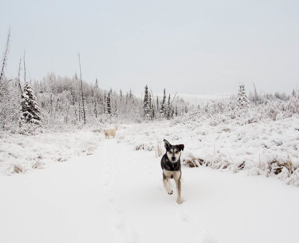
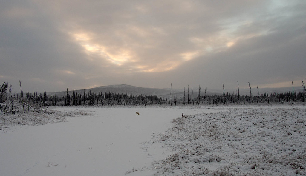
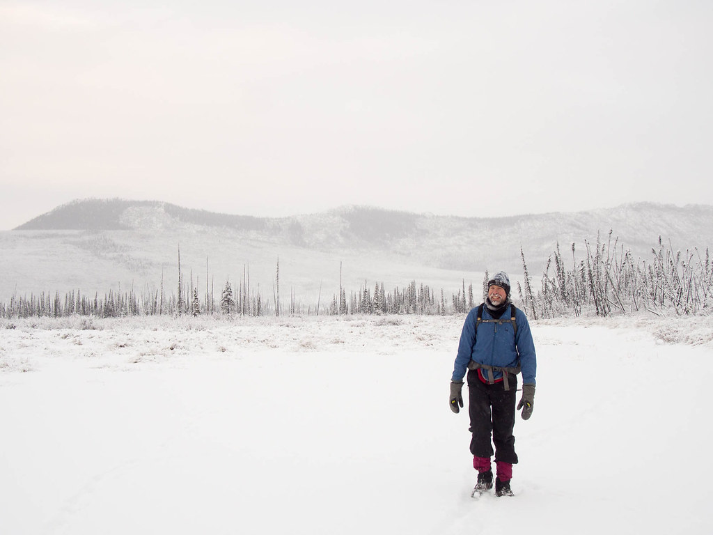
After a fantastically long fall, winter has finally arrived here in Interior Alaska. Ms Marsh and I left Fairbanks for a quick overnighter at Eleazar’s cabin in the BLM White Mountains NRA.

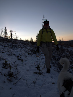
We left a bit late, and got on the trail sometime after 2pm, and it was soon dark. I was surprised by all the snow, perhaps skis would have been a better choice..

Regardless, it was a fun hike, and Marsh and I enjoyed an evening mellowing out in Eleazar’s. The next morning we awoke to a bit of wind, and a bit more snow. The hike out was as fun as the hike in, but with a bit more daylight.

It was simple and easy overnighter, and got me thinking about winter adventures of all sorts. Thanks for the motivation for this trip Marsh! This winter is going to be fantastic!

A long walk under the Aurora..

Tuesday, October 23rd, 2012

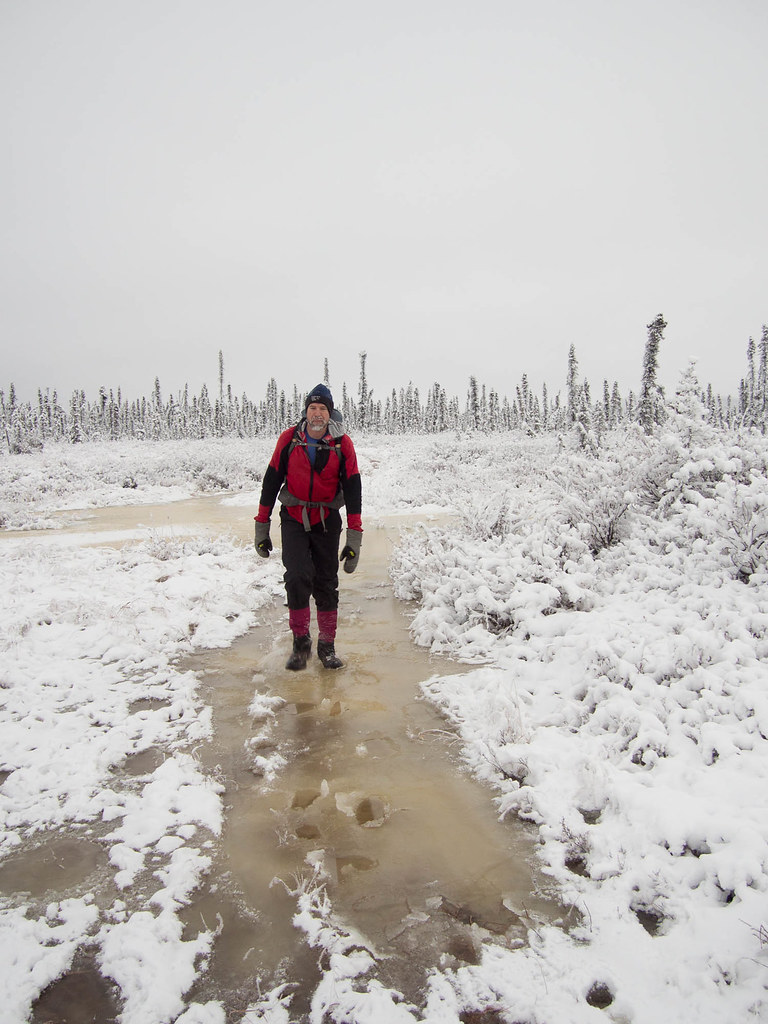
I had been meaning to get out to Borealis cabin in the Whites this fall, hoping to get one last hiking trip before good skiing and snow biking starts, but before the Summit trail became impassible. Eventually plans formed up, and Tom and I headed down the trail a little before noon on a Friday, for what we hoped would be a nice relaxing trip. On the drive I noticed the Chatanika River had a thin crust of ice all the way across it..

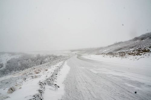
Things started off wonderfully, with a fine day, with a little snow.

most of the trail only had a dusting of snow, with the higher sections having a little under 3 inches. It was nice to see snow, and it was a wonderful reminder of the winter to come. I spent a fair bit of time day dreaming of the upcoming winter on the hiking in.. snow biking, skiing, cabin trips, races – all the upcoming winter fun!

Eventually we neared the end of the Summit Trail, and at dusk we could see Big Bend and Beaver Creek.

The cabin we where heading to is on the other side of Beaver Creek, requiring a crossing that should be mid calf deep this time of year. Not a big deal, if you bring neoprene socks and some river crossing foot ware, crocs in my case. From a distance the creek looked clear of ice, but there was an ominous ring of around the edges..

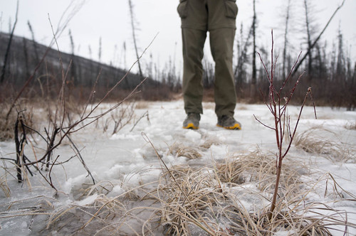
We headed down to the creek and arrived at a slough just before the main river, and were surprised to see solid ice covering its surface. Alas, it was much too thin to support our weight, and so we started hunting around looking for a less ice covered crossing. Eventually we found a mostly ice free crossing point, and with the aid of a large heavy stick, smashed a way across. Remus got a lift, the lucky dog. Soon after that we reached the main river, and much to our annoyance, there the shallow crossing point had a thick ridge of ice in front of it. Crossing at the shallowest section was going to involve a lot of ice breaking. The other complication was that it was nearly dark, and it sort of looked like there was ice on the other side of the creek. It looked like any crossing would involve taking a large stick with us to smash a way to the back once we reached the other side. This was looking fairly unpleasant, so I gave a quick try heading across the ice free but deeper section, but turned around after it got a bit over my knees.

We decided that while the river was crossable, it was going to be a cold, unpleasant morning if we had to ford waist deep water, and started hiking back. It was soon dark, and we spent the next three hours hiking the winter trail back to the nearest shelter cabin to crash for the night.

It was a bit of a trudge, but we were treated to a fabulous aurora display. The northern lights were amazing, probably the best I had seen in quite a while. Alas, after the first mile or so of hiking in the dark my headlamp started flaking out. I swapped batteries, but no luck, it continued to act up. I ended up walking behind Tom using his little bubble of light. It was an interesting trek in the dark, with wonderful aurora, but tricky walking on frozen tussocks.

At one point we heard a funny noise, and as Tom scanned around with his headlamp we saw two eyes staring back at us from a ways down the trail. I flipped on my headlamp without thinking – amazingly it started working again, and the eyes got closer. Eventually a small fox stepped out of the darkness and walked straight up to us, stopping about 10 feet away. I had a bit of a panic moment, grabbing for Remus and digging out his leash in case he decided to give chase, though Remus was a bit too beat to enjoy the moment. The fox stared at us for a bit, then headed off into the brush along the trail. We had some nervous chuckles, as initially the eyes looked pretty darn big and gave us a bit of a jolt. Apparently the headlamp got a jolt too, as it stayed working until we reached the shelter cabin, where it promptly died again. Eventually we were done after 13 hours of hiking, had dinner, and crashed. The morning we hiked out, enjoying a wonderfully sunny morning and early afternoon. The hike was fast and uneventful, though there was a surprisingly large amount of ice on the trail..

There was a long section of ice in the last mile before the mile 28 trail head, which is fairly unusual. If this stays it could be a bit exciting for folks heading out, especially dog teams..

I made it back to town in time for dinner with the family, which was very nice. These late season trips are always hit or miss, sometimes too much snow, sometimes too much water, or the tussocks are not frozen enough for fun walking. I have never been “iced-out” though, so that was an eye opener. No more creek fording until late spring at the earliest! My headlamp flaking out was also a reminder that I have to start carrying a backup again. It could have been a very unpleasant experience, though fortunately it was just annoying. Live and learn!

I am really looking forward to winter now… cabin trips and other adventures with the family, skiing, biking.. Any day now!