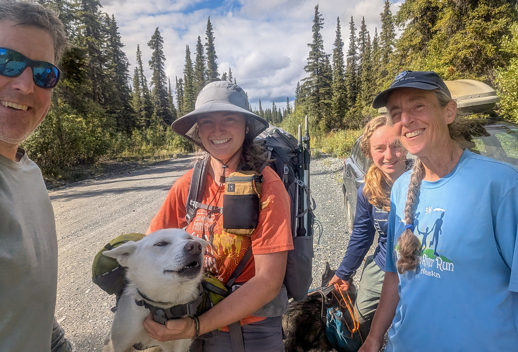
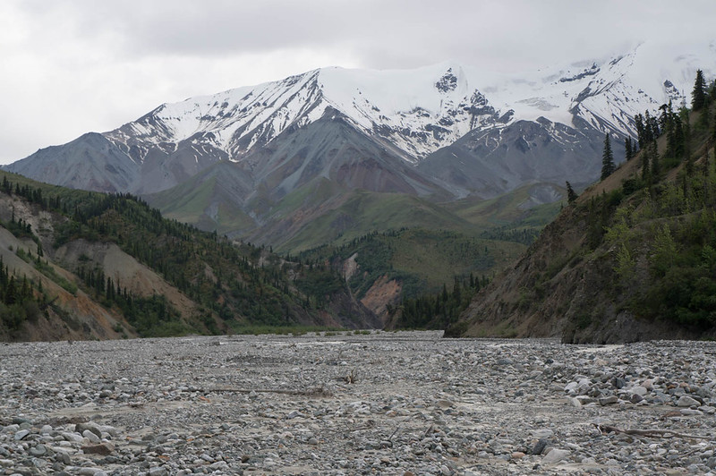
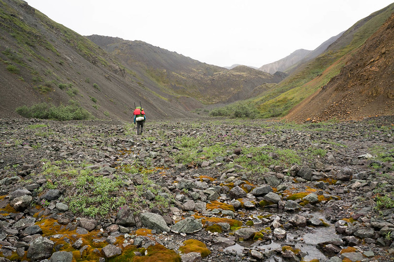
Posts Tagged ‘wrangell st elias national park’

A family trip to the Nabesna Area

Sunday, August 30th, 2026

As written by Lizzy. Possibly less truthful but more grammatically correct than normal.

Start of the trip 

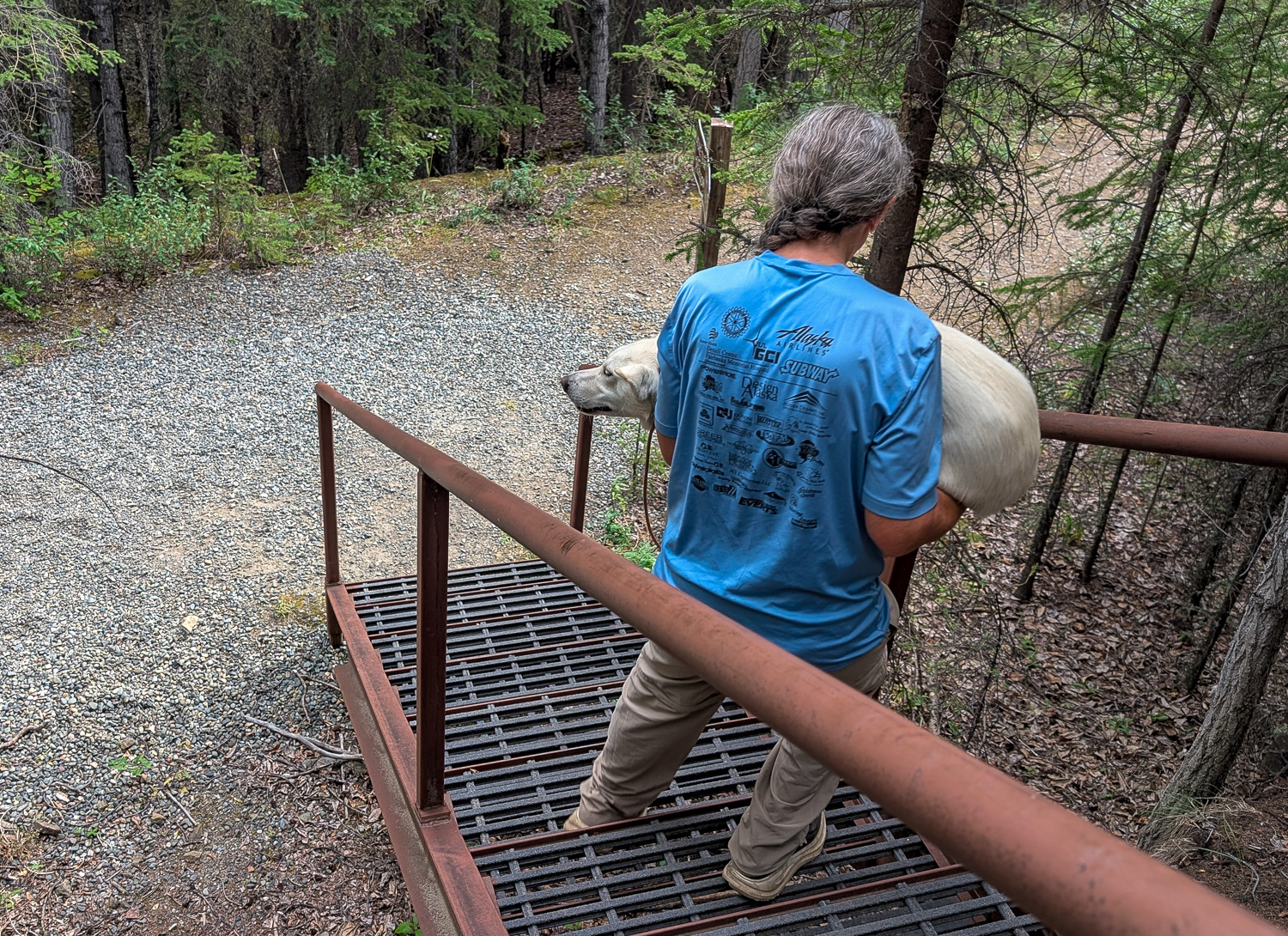
On the drive out we broke up the day with a short hike, only three miles or so. This brought up one recurring theme of the trip: Pearl is a little bit of a princess. She wanted to be carried up the steps. Very scary stairs made of metal. We understand, Pearl. 
Day 1 

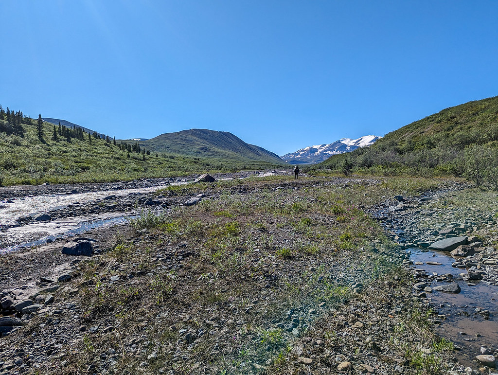
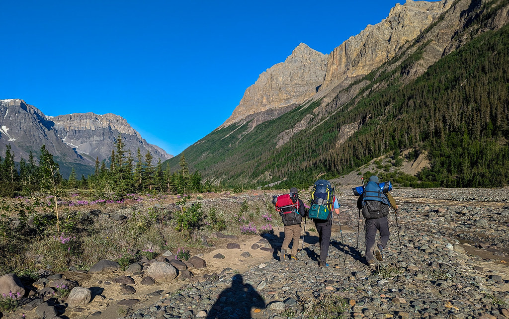
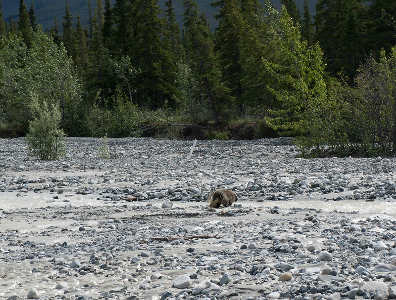
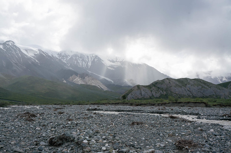
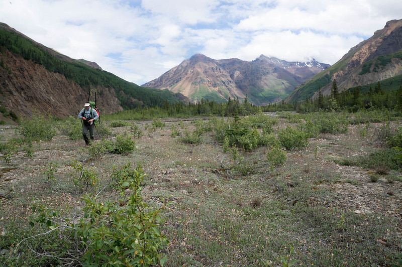
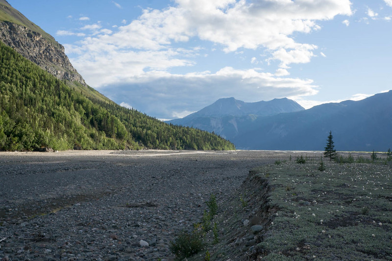
The following day, the first day of hiking, we followed Lost Creek until the intersection with an ATV trail leading to Platinum Creek. The creekbed was very good walking, gravely but flat with some creek crossings but mostly just walking the gravel. After a few miles on the creek we reached the ATV trail. We saw two bears down on the creek when we started walking up the ATV trail, though we didn’t manage to get any photos. Other than those two at a distance, we didn’t see any other bears. 

PXL_20260817_183105728

PXL_20260817_194510659.MP

family trip in the wrangles, 2026

family trip in the wrangles, 2026

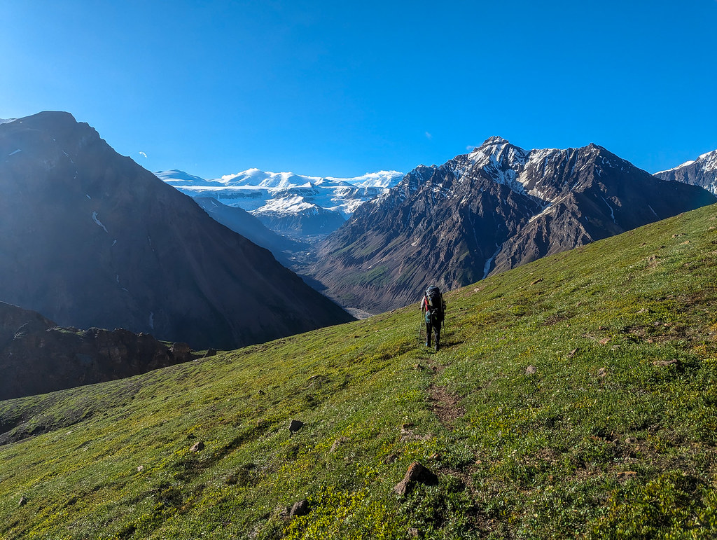
You’ll notice that in this photo Pearl is not wearing booties. Later on she had to wear them, and booties ended up being in short supply on this trip. Pearl isn’t very good about understanding that she will never catch marmots, so she has to be on a leash to prevent marmot chasing. We continued along the ATV trail until we reached Platinum Creek. We continued walking along it until the creek started drying up, and we eventually camped beside the creek. 

Molly had dehydrated food in preparation for the trip. Dinner was rice with beans, corn, and tomatoes, with chocolate for dessert. Afterwards we settled down in the tent, a five-person pyramid tent with the four of us and both the dogs. It was a little tight, but the dogs seemed to like it. Eddy usually takes some convincing to get into the tent, but he seemed eager. 

PXL_20260818_021742802.MP

family trip in the wrangles, 2026

family trip in the wrangles, 2026

I’m not sure what Molly’s side eye is for. Probably to tell Dad to stop taking photos and go to bed. 

Day 2 

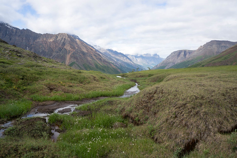
At the start of day 2 we crossed over a pass, then traveled down into the valley and followed a creek that doesn’t seem to have a name. Maybe it can be called Lizzy’s Creek. 

family trip in the wrangles, 2026

family trip in the wrangles, 2026

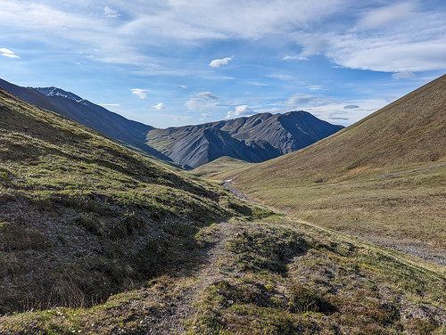
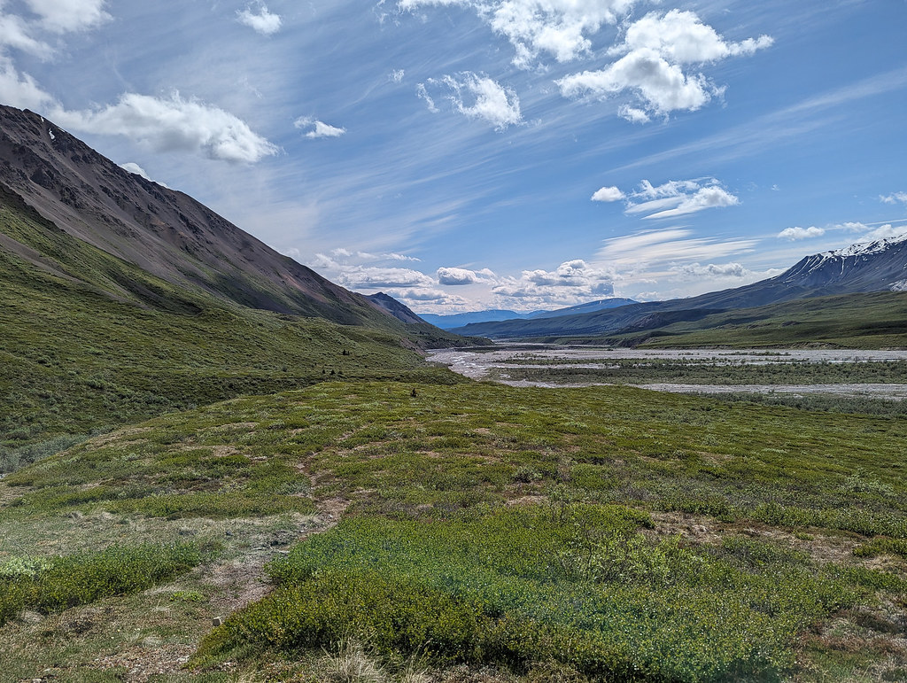
Top of the pass, and then the creek we started walking along. 

There were many bones and antlers. Some of them we permitted Eddy to taste, while others we decided were too photogenic for him to sample. Eddy also believes he should be allowed to carry antlers with him while hiking, which slows progress.

PXL_20260818_182929728.MP

PXL_20260818_175340225.MP

PXL_20260818_172226162.MP

Pearl had to wear booties at this point, after getting sores on her feet after the first day of hiking. My pants were also suffering with an expanding knee hole.  

PXL_20260818_204124800.MP

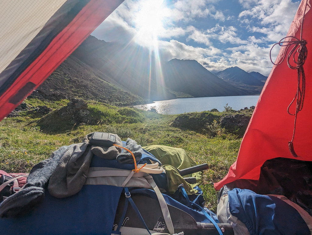
Eventually we reached the creek leading into Soda Lake, and then reached the lake itself. We camped just next to the lake, after extensive discussion over the best spot to put the tent. At my urging we put the tent in a slightly flatter, but windier section. The tent didn’t end up blowing over, so I’m giving myself credit. Pearl didn’t think she got enough dinner. We ate seaweed, rice and edamame for dinner, followed by chocolate, of course. The games we had packed were starting to become boring, and the only things I had downloaded on my phone were random PDFs, which included some fanfiction. As a result the whole family got to listen to Star Trek fanfiction. 

PXL_20260818_230314642.MP

family trip in the wrangles, 2026

Day 3 

This was our shortest day. We followed a different creek leading into Soda Lake, sidehilling around brush in the creek. 

family trip in the wrangles, 2026

PXL_20260819_194119790.MP

 Eventually we cut through the valley and met up with a new creek, Totschunda Creek. Crossing through the valley proved to have more excitement than expected, at least for me. I ended up stepping into a wasp nest. I only got a couple of stings on my ankle, and pushed on. I told my mom I wouldn’t take antihistamines, but wanted to test to see if it would swell up at all. 


We continued up the creek, passing by a waterfall and continuing to walk through the valley. We turned back when we saw sheep on the hills and camped earlier in the valley, not wanting to disturb their access to water. 

PXL_20260819_201809106

PXL_20260819_212506378.MP

Waterfall and distant sheep. That’s my dad’s photo, I know it’s blurry. Blame him. 

We ate dinner, which was labeled Curry?. Molly had us guess the ingredients, and the first three things I guessed were all incorrect. It was delicious, though Molly complained that it was too spicy and that it caused exciting poops the following morning. Well, who created the dinners? I didn’t have problems with the Curry? but I did have problems with my pants.

PXL_20260819_200722447.MP

PXL_20260819_231554801.MP

They got sewed back together with dental floss. We were also running through dog booties very quickly at this point, and had to do some repairs with tape. Eddy and Pearl entered energy saver mode quickly at camp. I continued reading the fanfiction aloud. 

family trip in the wrangles, 2026

family trip in the wrangles, 2026

Day 4 

Not taking antihistamines first thing after getting stung was a mistake. My ankle swelled up, reddened and became very itchy. It also throbbed when I walked. Even now it’s scabbed and a little swollen. Apparently, like my mom, I have a slight allergy. 

We started day 4 by retracing our steps back down to the creek. However, when we reached the valley instead of going straight up to Soda Lake, we went over a ridge, walked along it, and then cut down to Platinum Creek. We followed the creek back to the trail to Soda Lake, and then camped there. 

family trip in the wrangles, 2026

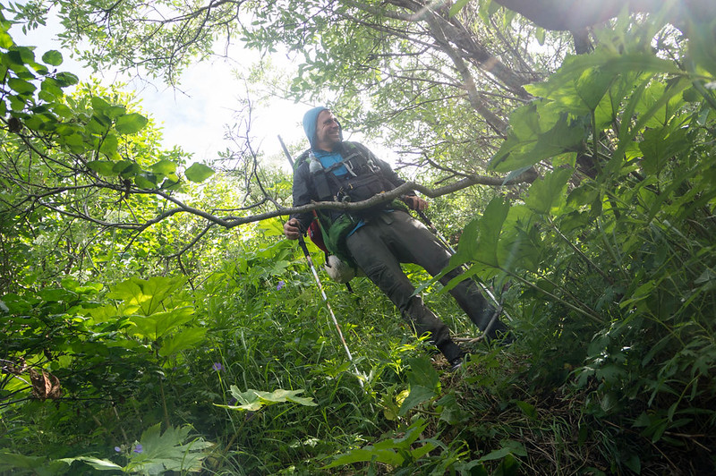
This was by far the brushiest day. The descent down to Platinum creek was very brushy, but at least it was downhill. Pearl wasn’t a major brush fan. Suitcase mode had to be activated when she refused to go down into an especially thick section of alder. I picked her up by her backpack handle, carried her for a few steps like a briefcase, and threw her down into the brush. She wasn’t a fan of suitcase mode. 

PXL_20260820_214655853

Walking along the creek.

Pearl had to be on a leash most of day 4 because of cliffs. She has a tendency to leap before she looks, meaning that she has been known to hurl herself off cliffs without seeing how tall they are. Eddy always has to be on a leash, because he believes recall is a choice. 

PXL_20260820_225023153.MP

family trip in the wrangles, 2026

Red rocks approaching Soda Lake, followed by rock piles near Soda Lake. We refer to them as the egg cartons. 

PXL_20260821_010350886.MP

PXL_20260821_131848558.MP

Second night of camping on Soda Lake, camping right on the shore. 


Dinner was a bag labeled the OG. Dad thought OG stood for Original Jesus, because he can’t spell. It turned out to be lentils, rice, curry powder, tomato and other spices. We discovered that Eddy now has sores on his feet, and so he needs booties for the remaining days. All the rocks apparently are hard on dogs’ feet. I read aloud more fanfiction. At this point we were well over page one hundred. 

Day 5 

In the morning there was an argument about whether Molly had grabbed Dad’s nose in the middle of the night and wiggled it back and forth. Dad swore she did, and she swore that she hadn’t and that he had dreamed it because she had been wiggling Eddy’s nose the night before. The nose twiddling mystery is still unsolved, if Dad dreamed it, if he made it up, if Molly did twiddle his nose, or if she did it in her sleep. Or if somehow the dogs managed to wiggle his nose. He eventually accused me, but as I was on the opposite side of the tent, it would have taken skills to be able to touch his nose without waking everyone else up. 

This day was the longest day, about 18 miles of walking on creeks, ATV trails and ridges. We started out by leaving Soda Lake the same way we arrived the previous day and following the ATV trail out. However, when we reached Lost Creek we turned up it instead of down. At this point I had run out of breakfast, due to miscalculating my food needs, so I ate granola bars for breakfast. The audiobook I was listening to was coming to a very slow end, one that was thoroughly unexciting and predictable, so I was annoyed, but I had spent ten hours listening to it, and so had to finish. 

The creek walking was mostly unexciting, though when the banks narrowed we had to climb up to the hill on the side, which proved to provide a little more adventure. Suitcase mode had to be activated again as Pearl didn’t seem to understand the danger of trying to run off cliffs. 

family trip in the wrangles, 2026

family trip in the wrangles, 2026

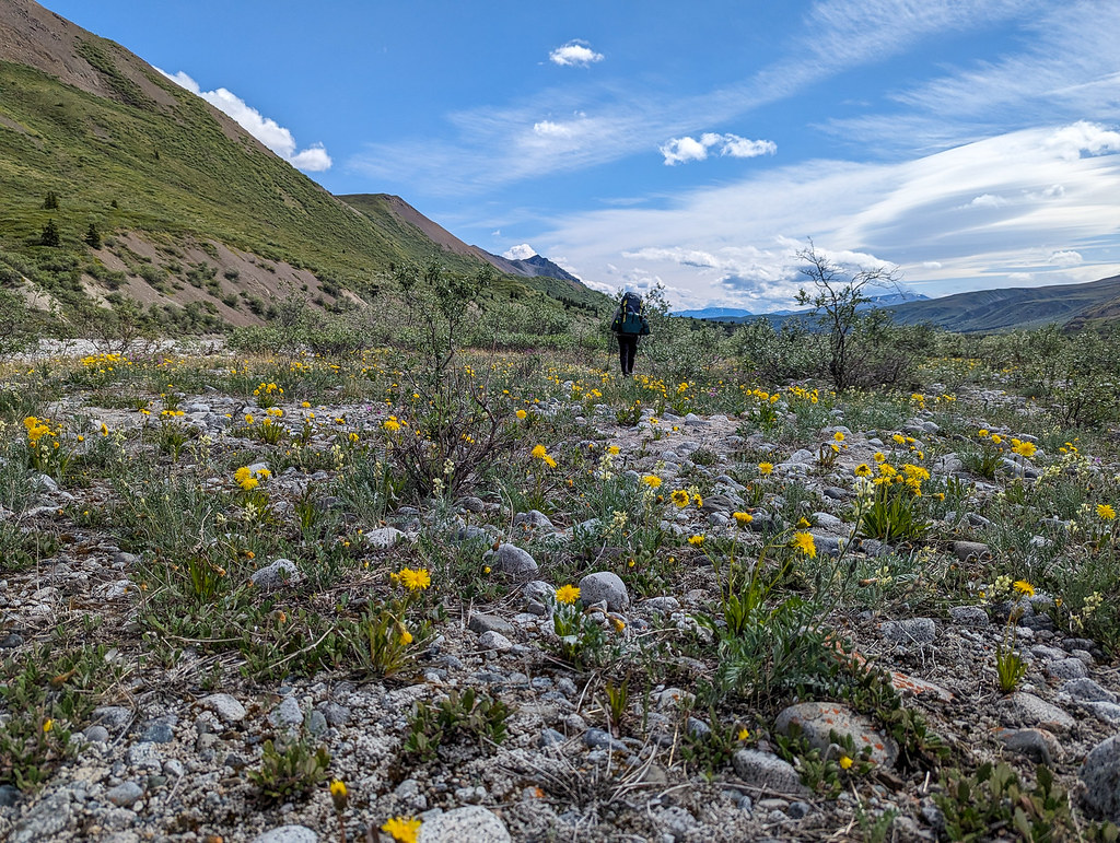
Eddy in the flowers, and us walking up Lost Creek. 

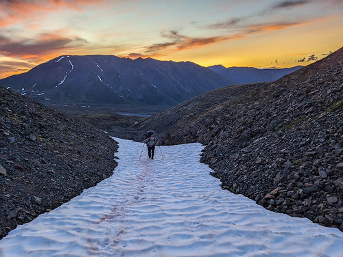
Near the end of the day we reached a large section of ice. We also met the only other person we saw on the trip, a hunter who seemed very unwilling to talk to us and probably would have ignored us entirely if we hadn’t called out to him and asked where to camp. He didn’t give us a useful answer. Maybe it was because, as I learned later, there was a large hole in the butt of my pants, or maybe he was annoyed that we had probably scared away all the sheep. We should have told him that there were hundreds before we hiked by. 

unnamed copy

Finding a campsite was a little tricky. We ended up camping on a slightly sloped, somewhat windy ledge on the side of a hill. Dinner was mashed potatoes with something resembling meat. It was called “mashed potatoes” in quotes, which isn’t at all suspicious. It tasted good though. 

family trip in the wrangles, 2026

Major bootie repairs had to happen. We had run through 4 sets of booties, and had to start sewing them together in order to have any that didn’t have holes.

family trip in the wrangles, 2026

Eddy wasn’t entertained. At some point during the more adventurous sections of the day I had slid on my butt and ripped the whole seat of my pants open. We were out of dental floss, so there was no repairing my pants. However, I was excited when I realized that I had accidentally carried extra hiking pants, which I was going to wear during the car ride back, so I wouldn’t have to do the final day with my pants gaping. 

Day 6 

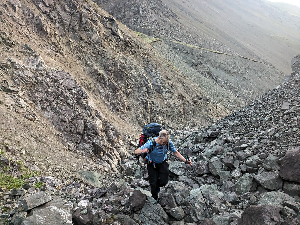
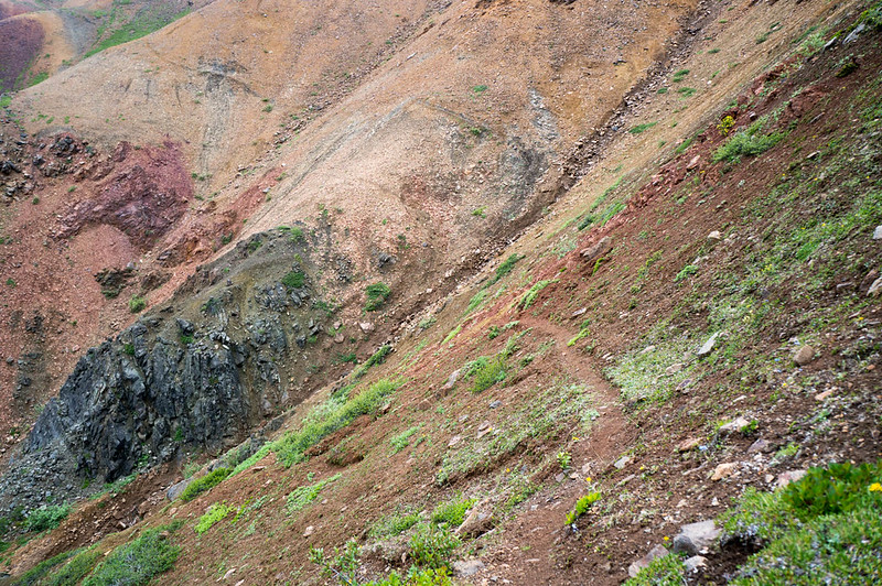
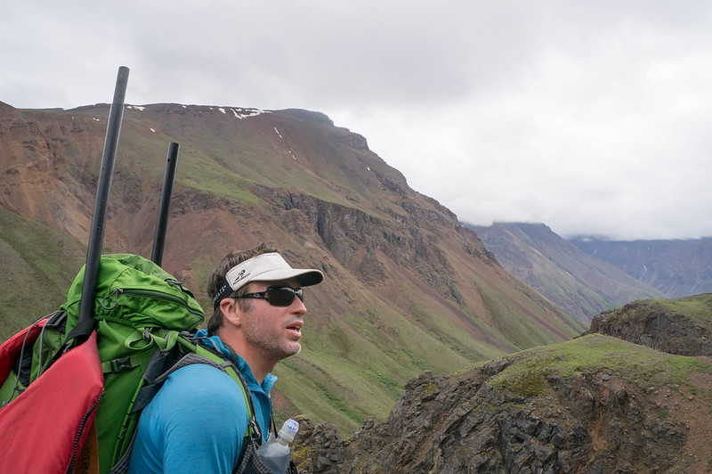
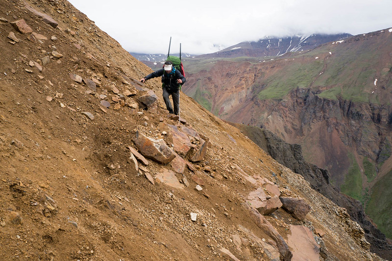
The day started by hiking up a hill and then through a pass. We then followed a sheep trail down the other side of the pass. The descent was much steeper than the ascent, and with poorer footing, with nothing but a foot wide sheep trail to follow down the side of the loose rock. 

family trip in the wrangles, 2026

PXL_20260822_155504044.MP

Walking up the ridge, and then at the top. Watch out Pearl, it’s a cliff! 

family trip in the wrangles, 2026

PXL_20260822_160119279

The sheep trail. Leash time for Pearl! No taking the short way down the hill.

family trip in the wrangles, 2026

When we approached the valley we continued walking on the ridge for a while, until we ended up with a steep scree on all sides and then had to turn around and descend to Trail Creek in the valley. We started walking along the creek, following it until it mixed and merged with an ATV trail, and then reached the road and our car. 

family trip in the wrangles, 2026

family trip in the wrangles, 2026

family trip in the wrangles, 2026

PXL_20260822_171951557.MP

End of the trip! Eddy was camera shy. Pearl was camera dumb. 

Only one bootie, out of five sets, survived the trip without a hole. We had to throw out all the other booties. My pants didn’t survive the trip, and my ankle was definitely a new level of itchy, like twenty mosquito bites piled on top of each other. Maybe only ten. It is fair to say that fun was had by all, and that the trip is an experience worth repeating. Four out of five stars. Five if there was ice cream waiting at the car for us instead of a single protein beverage that Molly drank.

A Map!

More photos can be found here.
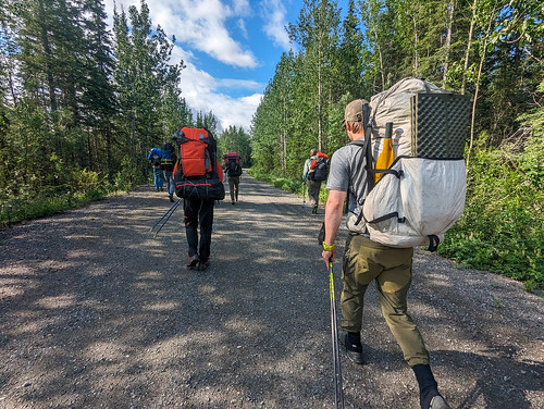
Some pink was requested, so we are ending in a bit of pink. Yay?

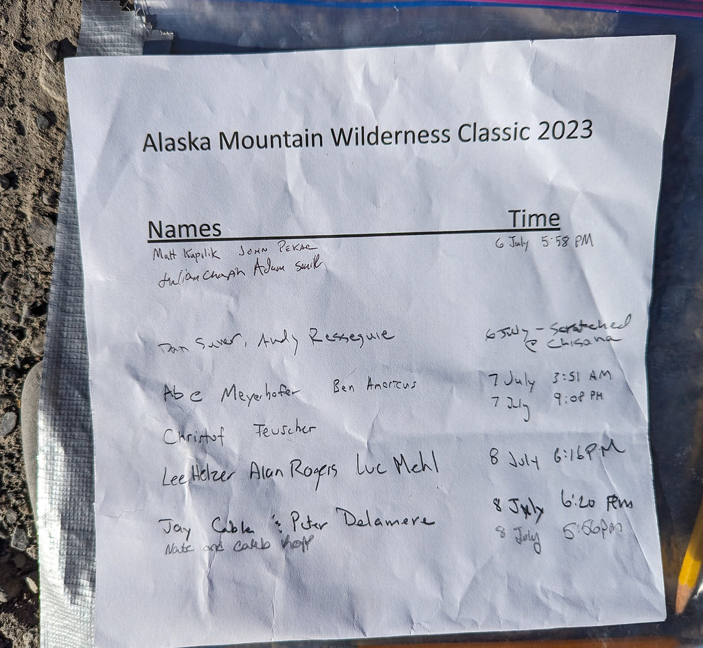
The Alaska Wilderness Classic 2023 – Little Tok River to McCarthy

Sunday, July 30th, 2023

Warning: I asked my daughter Molly to edit this post, and was told afterward that I would have gotten a D if I had turned this in as an assignment in her English class. I was told my writing is simplistic and childish. So you have been warned 🤣

Last year when the new Alaska Summer Wilderness Classic course was announced, going from the Little Tok River bridge to McCarthy I really wanted to do it.  Unfortunately, a bunch of things contrived to make it so I couldn’t make it, so this year I was committed!    After searching around, I eventually found my friend Peter was interested, and it was a go! 

The evening before we drove to the start, having dinner at Fast Eddies in Tok, then hung out with everyone before hitting the stack.  I joked a bit with someone parked near me about moving my car so it was behind his to absorb the bullets, as we were in a gravel pit that looked like it was a shooting range sometimes.  In the morning someone drove by really early, and in the morning there was a sign left up, facing outwards.  I walked around and was amused to see my joke had come true – it said: “4th of July Trap Shoot No Parking”.  
So after moving our cars, everyone headed out. 

ASWC - 2023

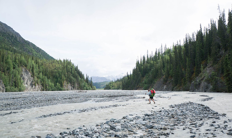
Peter and I zoomed along on the ATV trails at the start.  I was full of nervous energy and talked a bit too much to folks nearby.  The ATV trails eventually ended (or really, we lost them) in a river floodplain. After several hours of crossing back and forth, we found the ATV trail again, and we followed it up to the first pass, and we camped at the base of the second pass, with great views of Noyes Mountain. 

ASWC - 2023 ASWC - 2023 ASWC - 2023 ASWC - 2023 ASWC - 2023

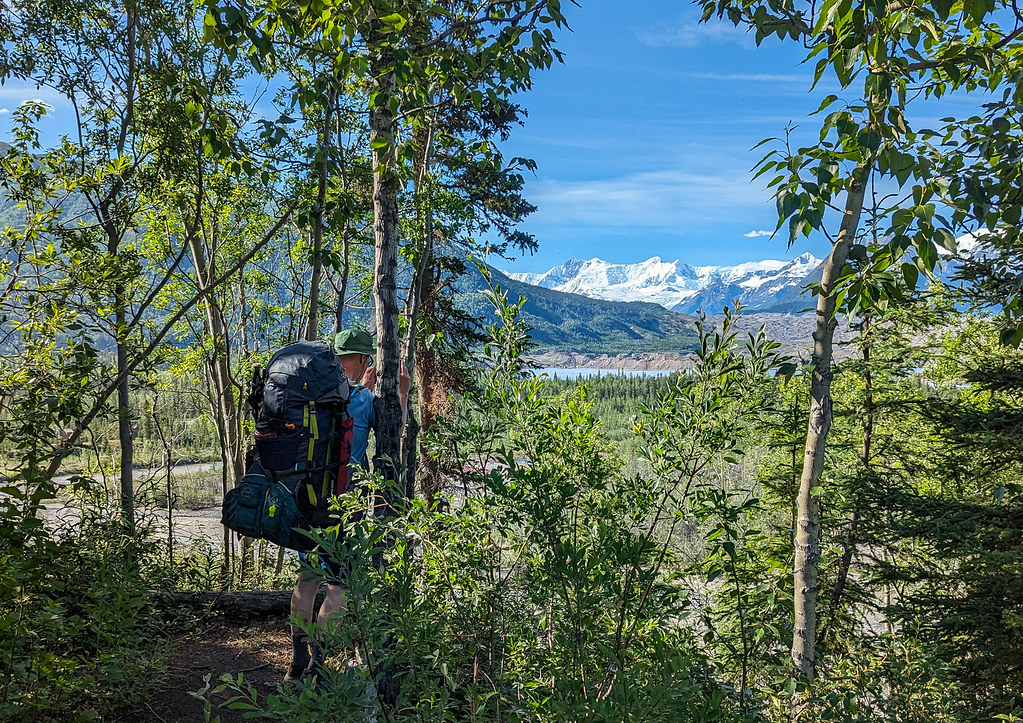
Peter is a big appreciator of mountains and thus began the first of many brief mountain enjoyment stops where Peter would stop, look around and say “Mountain!” and point at a new mountain.  Or a mountain seen from a different angle or side.. The next day we zoomed up and over the pass, then headed down Platnum Creek to enjoy the great walking.  Some folks right ahead Peter and I, Caleb and Nate, put in right away, but I suggested waiting a while to see if it was actually worth floating.. A few miles later the group passed us, so we put in.  Platinum Creek was a bit of a mess – it wasn’t challenging but there was lots of wood with very few eddies, so there was quite a bit of panicked jumping in and out of the boat.  I tried to use my whistle to signal to Peter when to get out, but like an idiot, mine was rigged such I couldn’t keep it in my mouth without using a hand or bending down – a mistake.  Fortunately, we were just far enough behind Nate and Caleb that we could often tell there was something coming up when we could see them out of their boats.  Apparently at the pre-race gathering in Anchorage everyone (that is everyone but Jay and Peter from Fairbanks, hah) had been warned that Platnum Creek was a woody mess, but no one had mentioned it to us.  They also said at that same gathering that everyone should have a dry suit.  I almost didn’t bring mine.  Those Anchorage people, hah!  

 Near the confluence with the Nebesna River, we came around a corner and a very large lynx was looking downstream.  Just after that Christof stuck his head out of the woods and said he had flipped avoiding a sweeper and lost his paddle.  Fortunately, he found it in a strainer and had given up on floating.   He seemed a bit shaken up, but ok, so we kept on.  The creek widened out a bunch and then we came out on the big, wide Nebesna.  We worked our way across the Nebesna, taking out at Cooper Creek, then starting our walk up to the next pass. 

ASWC - 2023

Cooper is a wide flood plane that necks down to a narrow valley, with many crossings. 

ASWC - 2023 ASWC - 2023

Eventually, we turned off into a smaller creek, then up and over to Blue Lake where we spent the night. 

ASWC - 2023

Best campsite ever – Blue Lake!

The next day it was down to Notch Creek, over the beautiful Cooper Pass, then down Notch. 

ASWC - 2023 ASWC - 2023 ASWC - 2023ASWC - 2023 ASWC - 2023 ASWC - 2023

Again I voted to just walk as Notch looked like pretty marginal floating, but after walking half the creek we put in, floating to near Cross Creek, where we hiked over to the Chisana River,  stopping to inflate to cross.  There was a set of fancy Gossamer Gear poles someone left there on the bank which I grabbed in case we caught up with whoever dropped them.  So light, so fancy, I was sure someone was missing them!   I also apparently left a few things including the fuel on the bank which Peter rescued (thanks Peter!).   At Chisana we caught up with Christof again and chatted a bit, then walked a few more miles before hitting the sack. 

ASWC - 2023 ASWC - 2023

In the morning we headed up Geohenda to the Solo Flats, then over and down to the White River.  Such a beautiful area!  

ASWC - 2023 ASWC - 2023

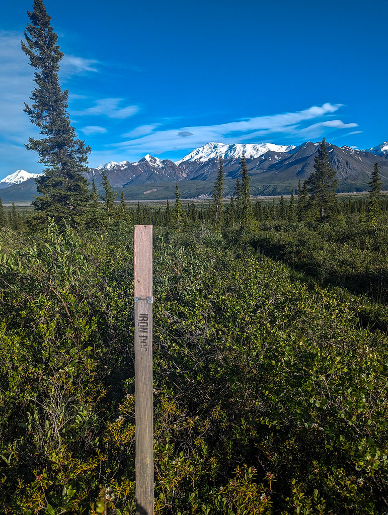
We enjoyed a few miles of ATV trails just before the White River, and the Solo Creek Guides had some fun with their signage. They even had an Iron Dog lath marker, which was super funny, given two mountain ranges separate us from the Iron Dog route.

ASWC - 2023 ASWC - 2023 ASWC - 2023

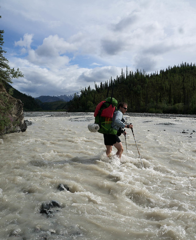
The weather had been sunny and hot, so the White River was raging.  We could have inflated and crossed, but the current was moving fast, so we went downstream to find a more braided section, and crossed with Caleb and Nate, then camped on a little clear creek.  In the morning it was up and across Flood Creek, which looked raging but wasn’t too bad, then along the old glacier remnants, then into Skoli, and onto the Goat Trail. 

ASWC - 2023 ASWC - 2023 ASWC - 2023 ASWC - 2023 ASWC - 2023

Crossing Flood Creek

ASWC - 2023 ASWC - 2023 ASWC - 2023 ASWC - 2023 ASWC - 2023

The Goat trail was a bit less trail-like than I remember, but the walking was mostly good.  There was still a fair bit of snow up there though! 

ASWC - 2023 ASWC - 2023 ASWC - 2023 ASWC - 2023 ASWC - 2023


We pressed on, eventually camping right before the steep part of the Goat Trail. In the morning we did the iconic scree slopes of the Goat Trail, then headed down to the Chitistone.  

ASWC - 2023 ASWC - 2023 ASWC - 2023 ASWC - 2023 ASWC - 2023 ASWC - 2023

The Chitistone was really moving, and while we could have blown up and crossed it, it would be been a bummer to miss the eddy on the other side, so we walked up in hopes it was possible to ford it where it braided out a bit where the glacier and creek came together.

ASWC - 2023

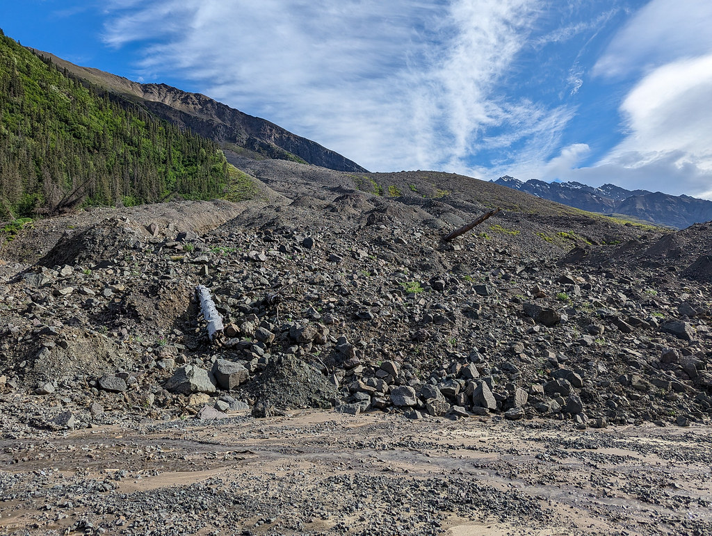
No dice, it was still raging, and much too deep to cross.  So we wasted several hours inflating, crossing, and then crossing the glacial river, then finally getting all the way across and packed up.   Next up hiking down the Chitistone to Glacier Creek.  I remember this being a mess of alder swacking from my last visit but the walking was mostly great.  There were two big landslides I didn’t remember.  They are less landslides and more like the side of the mountain exploded. 

ASWC - 2023 ASWC - 2023

Eventually, we reached Toby Creek, where we found Nate and Caleb waiting for the water to drop.  The water was too high to cross, but we all expected it to drop overnight, so we went to bed. 

ASWC - 2023 ASWC - 2023

A few hours later there was the cry of “BEAR, BEAR” and I shot out of the tent fully awake, just to realize there was a small black bear across the creek that also couldn’t cross, and it quickly moved on.  From all the cries of “BEAR” I was expecting it to be in camp, trying to eat my food, hah!  Shortly after that Luc, Alan, and Lee arrived, set up their mid, and went to sleep.  The consensus from everyone was that instead of dropping Toby Creek was going up. Odd, I thought and went back to bed.  I wasn’t too worried – if it was still high we could just inflate and take out at the next eddy, it would be fine. A few hours later Peter woke me up, saying the channel that everyone had been looking at was going up, but that was because the creek had rerouted itself, the rest of the channels were all a lot lower.  So we packed up and the whole group of us crossed the creek and hiked down to Glacier Creek, where we put in and floated to May Creek Road.  

ASWC - 2023

The Chitistone seemed really high and had at least 5x times the volume than when I was here last time.  Rocks were bouncing along the bottom and you could hear the near-constant sound of rocks bouncing off rocks in the upper sections.   I led the group for the first section and ran the only section with any real white water, which looked fine, but as I moved through it, I realized they were way bigger than expected. Not a big deal, with nice clean eddy lines, so move around in it, just lots of water, and a mistake would be painful.  So I hopped out and re-directed everyone to a  cowardly side channel.  After that, we stuck to all the lower-volume side channels and reached May Creek Road uneventfully.   On the Nizna Luke, Lee, and Alan floated by in another channel, a mile or so before we took out.   Nate and Caleb took off, and we didn’t see them again. 

ASWC - 2023 ASWC - 2023

We finished after the 9 miles or so of road walking with a scenic walk through McCarthy and were met by Peter’s son Sam and his friend Jack – Yay.  They soon had burritos cooking for us, and after that we walked back to town for ice cream, double yay! 

ASWC - 2023

I was so excited for ice cream that the lady serving it said to the other person staffing the store something about me being a little kid in Spanish, then in English told me I was just like a little kid because I was so excited.  So I did a little dance for them to show my excitement, which caused them to break up laughing.  The next day we drove to my car at the start, where I was excited to see it didn’t have any bullet holes in it, and made our separate ways back to Fairbanks. 

ASWC - 2023


Thanks for the company Peter, and for the ride Sam and Jack! 

Julian C. has a great video here:

Christof T also has a great video:

Ben A has a great one too:


A few things I would do differently  – 

  • I need to rig my whistle so I have to keep it in my mouth so I can signal hands-free.  I had it setup way too short, so I had to either bend my head down or use my hand to hold it – a huge mistake. 
  • I need to get a bit more serious about getting better at packrafting.
  • As a spur-of-the-last-minute gear choice, I had brought little mini gaters. Alas, they worked just well enough to show that gaters were a good idea, but not all that well.  Next time I will bring mini-gaiters that actually stay on. 
  • I brought my really old, and lightish paddle with a floppy connector.  I really regretted that on the chitistone – I need to not take that paddle on trips with actual white waters, it is either going to break, fall apart, or do both at the same time. 
  • I really, really should have brought a helmet. Listening to the rocks bang around under us on the Nizina and the Chitistone was pretty terrifying.  Next time I need to bring a  helmet!!
  • I need to spend a lot more time in class III water to get comfortable.  I need to find some white water friends in anchorage I can float with more often. 
  • My packrafts cargo fly’s zipper is really having trouble closing.  I need to figure out what is wrong or get it replaced, it is a huge pain and takes forever.  I have cleaned and lubed the daylight out of it, and it still is a pain in the butt, with lots of separation issues. 

A few things that worked really well: 

  • We had a hot freeze-dried meal every night.  That rocked, I would totally do that again.  Maybe also have one mid-day. 
  • I bought a lightish dry suit from REI using a coupon – the best $500 I have ever spent.  It is well under 2 lbs and adds a large comfort and safety factor.  Love it! 
  • I brought an extra day’s worth of food and ate most of it.  Including two nearly inedible Range Bars. One I had picked up in McGrath and took it to Nome with me.  They were like eating coffee grounds combined with dirt and chocolate.  Not enjoyable, but space efficient.  Otherwise, I was pretty happy with my food choices.  Peter less so, he had stomach issues most of the way. 
  • We used a tent of Peters, an MSR Hubba Hubba 2. It was surprisingly light for a “normal” tent, and while we could have saved some weight with something specialized, it was pretty roomy and convenient. 
  • Taking May Creek Road, while boring, is faster.  We walked pretty slowly and did a bit of dinking around and still finished within 4 minutes of Luc, Alan, and Lee who took the Nizina.  If we had hustled we would have beat them. 
  • I got an old Osprey Exos pack off REIs used gear site as a spur-of-the-moment replacement for my HMG pack after it became clear that a Seek Outside pack would take too long to get to me.  I am super happy with that pack and am now questioning these small niche brands now.  I like the design of my HMG, but I don’t like how floppy it is, and how hard it is to get it loaded so it isn’t moving around a lot.  On really long days it takes a toll on the stabilizing mussels in my upper body.  The Osprey pack was much, much nicer to carry – the best $110 I have ever spent!   I wish Osprey would make packs out of XPac or something similar that is waterproof or at least didn’t absorb water rather than the same fabric they used 30 years ago.  I might still try getting a Seek Outside flight or some other pack, but I am less convinced at this point that the normal options are not better. In particular, the side pockets are great – I was taking my water bottle in and out constantly, and never had any issues. 

I will likely add more to this when I get a chance. 

Our route can be found here: https://caltopo.com/m/EVJ7K

Nabesna To McCarthy

Sunday, July 17th, 2016

A long time ago, in the late 1800s and early 1900s, gold miners hauled supplies from McCarthy to Chisana and Nabesna. I have always wanted to visit the area, and when Heath suggested hiking and packrafting it, I jumped at the oppotunity! The “original” route folks used went from McCarthy to Chisana and the Nabesna/Slana area, but we planned to reverse the route so we could float a bit. The route has a pretty storied history – it was a wilderness classic route in the late 80s, and folks have even taken bikes on it. I was beyond excited for this trip! Another major bonus was that Heath did all the planning, making this the first trip in a long time I didn’t need to think about all that much – hurrah!

We headed out of town midday for the 5 hour drive to Nabesna. Nabesna is on the end of a 40 mile dirt road, and the trip got off to a bit of a rough start when, after passing a couple of small wash-outs on we came to a much deeper one – one that I wasn’t brave enough to drive across. It was a beautiful blue sky day, but apparently it had been raining earlier. We parked the truck safe from the water coming down the wash-out, and after checking out the nearby Jack River, decided to start the float a bit early.

DSC06721

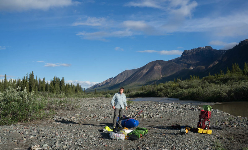
The Jack was near bank-full, and had enough water to be fun, but not too exciting. Besides a bit of wood, the floating was fun. We eventually camped at 11pm or so, a few miles short of our planned put-in spot. In the morning we awoke to clear skies and continued floating, eventually reaching the Nabesna River. The Jack was very scenic, and had a wonderful rock wall section that was pretty amazing. Alas, the water had a lot of sediment in it, and wasn’t clear, but still a fun float. The Nabesna was huge, much bigger than I expected. There were a few big boils and eddy lines that while no big deal, still got my heart racing. On the upside, the water was moving fast, averaging almost 10 mph (I think), and we quickly reached our take-out, near Cooper Creek.

DSC06728

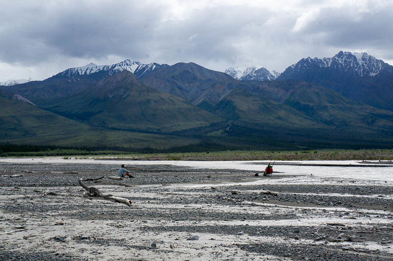
The wash plain of the Nabesna was super wide here, and while we were on the bank of the river, Cooper Creek was still over a half mile away – it is pretty amazing how wide the floodplain is for these large glacial rivers. As we were transitioning from floating to hiking mode I noticed a small plane parked in the distance. The pilot noticed us, and walked over to talk. After a brief conversation shouted over a side channel of the river, we discovered he worked for NPS, and had flown some rangers out to retrieve some equipment, and they were using packrafts. Hmm, perhaps we had packed up the boats too early. We headed out only to discover the rangers were using the boats to float a side channel of the Nabesna that ran right near the far side of the floodplain, and quickly determined it was too deep to ford… and out came the boats again.

Eventually we made it across, and started heading up Cooper Creek. The walking was fantastic, though a bit cobbly. A mile or so up the creek we ran into a porcupine, which appeared to really want to cross the creek, but didn’t want to get wet.

DSC06737

We watched it a bit, as it slowly walked down the creek, checking occasionally to see if the creek had gone away yet or not. Not the brightest creatures. We also saw a small black bear, but managed to skirt around it without it noticing us. The rest of the day we hiked up Cooper Creek, bouncing from bank to bank, and eventually camped near the confluence of nine mile creek.

DSC06756

DSC06759

DSC06771

DSC06787

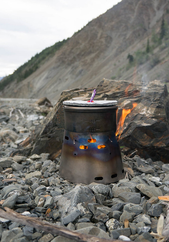
Heath had brought a little wood burning stove, which we had fun using. It was a bit slower than a traditional setup, but the ideal of unlimited hot water was pretty tempting..

DSC06795

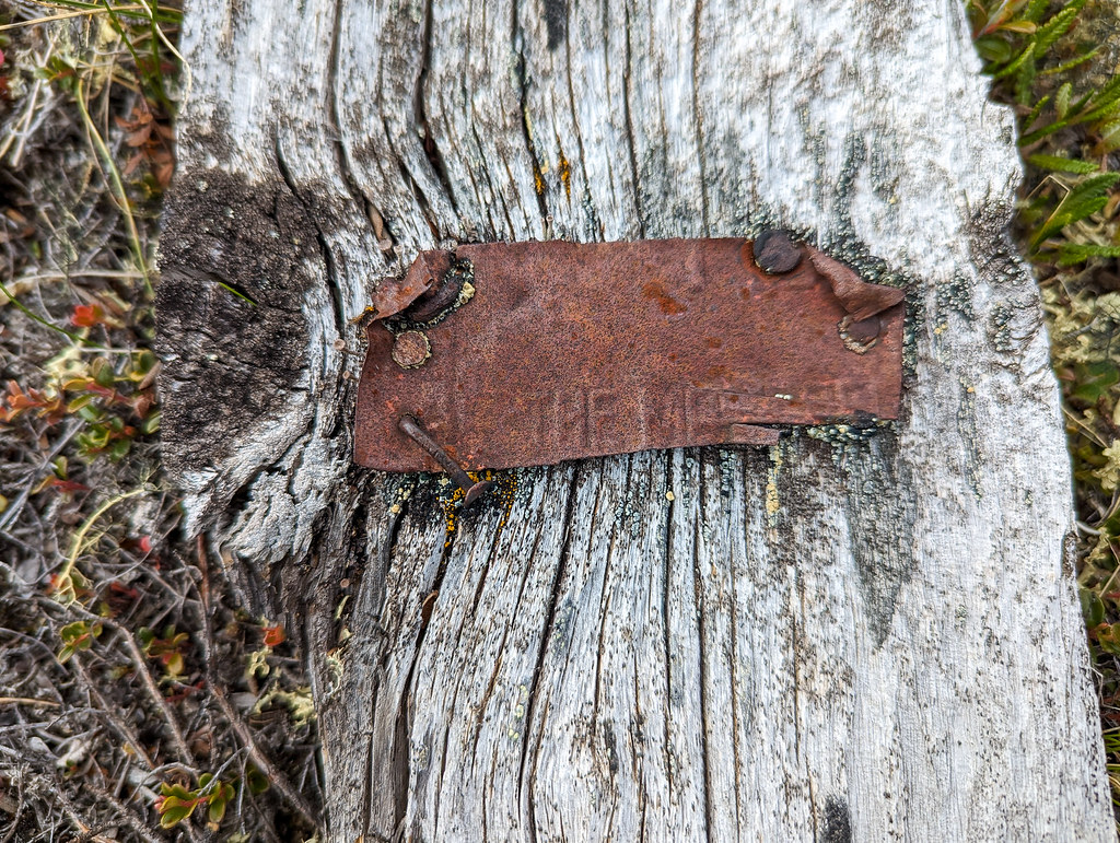
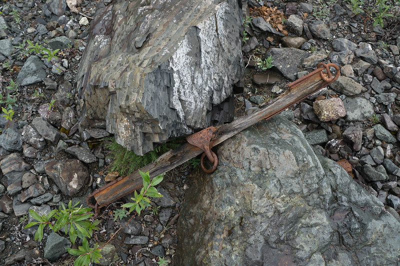
In the morning we kept heading up the creek, and I was excited to find my first artifact – hurrah!

DSC06816

I love bits of history that show how places have been used historically and currently. Finding “rusty bits” became a running joke for the rest of the trip.

DSC06830

Eventually we topped out at a little pass, hitting Blue Lake, a wonderful little lake that would have been an awesome camping site, but alas, we had to get the mileage on.

DSC06849

DSC06872

DSC06876

We headed over Cooper Pass, and down to Notch Creek, where I found an old collapsed cabin filled with more rusty bits. Notch Creek was pretty shallow, bumpy, and steep, so we walked down it, enjoying more fine cobble walking. Much to my surprise, I saw a set of fat bike tires on the creek bed – it appeared there were some bikers ahead of us!

DSC06882

DSC06887

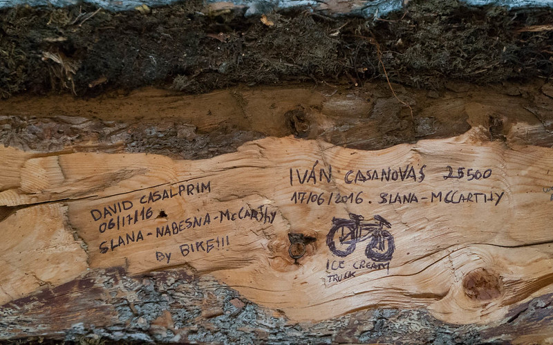
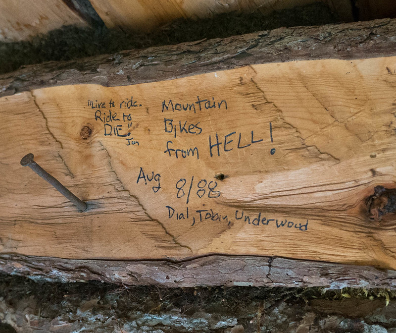
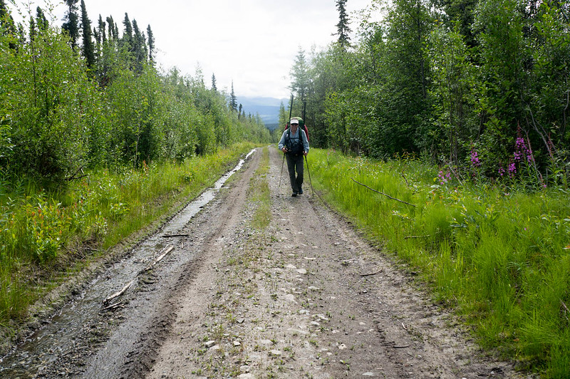
We camped near William Creek, hoping to float in the morning. We camped right next to a small clear stream. I enjoyed an experimental dinner of ramen noodles, dried coconut milk, peanut sauce, and coconut oil. Heath was a bit skeptical – “That is a lot of coconut oil.” was his take on it. I fell asleep to the sound of the water… only to be woken up when my pad deflated at 2am. Morning came two more rounds of inflation later, and my stomach was not happy. Apparently, while dinner was delicious, it did in fact have too much oil in it. I packed up camp and inflated my boat while trying not to be sick. The floating was fun, when Notch Creek had enough water. It bounced between wide braids and a single channel. When it was floatable, it was super fast and fun. Eventually we reached Cross Creek, where everything spread out and got too shallow, so we packed up our boats and headed off for the overland crossing to Chisana. Alas, I discovered that I was so distracted by not getting sick I had left my camera in a pouch on my pack, and it had gotten wet, and much to my disappointment, didn’t want to take photos – sadness! We forded Cross Creek, and headed overland to Chisana. We quickly found a marked trail, and were surprised to see horse prints – apparently folks use pack horses in this area – and we followed the horse trail over to the Chisana River. Alas, the Chisana river was too deep to ford, and so we inflated again, and floated across, then hiked over to Chisana. After hiking seemingly forever across the floodplain, we ran into a small pack of horses who seemed pretty scared of us, and who quickly ran off into the trees. We followed them, finding an ATV trail, that led us to a big complex, where the horses were waiting for us. They couldn’t seem to decide if we were something to be interested in, or scared of, so we carefully headed around them, and walked into town. We had discussed crashing at the public use cabin in Chisana, but we found it occupied by a couple touring Alaska by plane, so we headed out. After several false starts we found the trail heading out of town, eventually passing a clear(ish) stream near town that Heath said would be fantastic camping. I pressed to keep going, as there was another stream, Geohenda Creek, that was only a few miles away. Heath was very unamused to find Geohenda was thick with mud and far from the perfect campsite. We setup camp just as a huge thunderstorm passed by, just getting tents up before the deluge. The rain stopped fast though, and a bit of searching found some clear water, and soon we had dinner cooking, and enjoyed a nice bonfire on a dry channel of the creek. The next day we hiked up the creek, enjoying yet more cobbles and many muddy crossings of Geohenda. Gradually the water level dropped as we headed up into the higher country, and eventually we passed the source of the mud, a tiny creek coming in from a glacier. The country up high was beautiful, and very, very scenic. Our destination for the evening was Solo Mt. Cabin, a small historic cabin near Solo Mountain. A mile or so before the cabin we passed a huge grizzly munching away on the hillside, and I was very happy to reach the cabin just as a rainstorm arrived. I was a bit surprised to see shape the cabin was in – it is obvious at some point the NPS spent some time fixing it up – it looked like the foundation had been replaced, but having the door held shut by baling wire seemed a bit sad. We hung out in the cabin, and after collecting a bunch of dry alder from a nearby creek bed, we enjoyed a nice warm evening with the rain intermittently ringing off the roof. I had a great time reading the “log book” graffiti on the cabin walls, which was sort of a who’s who of all the crazy endurance folks and adventures in Alaska.

DSC06890

DSC06893

The morning came, and with it sunshine, and my camera was sort of working after an evening of sitting next to the fire – hurrah! Alas, sort of working meant that while it took pictures, the display wasn’t working, so it was hard to frame photos.

We hiked across to the wash plain of the White River, and were surprised to see trail markers, leading to a pretty well used winter and horse trail, that eventually turned into an ATV trail that appeared to head to a cabin complex on Solo Creek. We turned off the ATV trail onto an old game trail, as it was heading in the wrong direction, only to find an even bigger one headed in just the right direction. Just as we reached Lime Creek we saw a large herd of horses grazing on the floodplain. I really felt like I had stepped into the old west. Lime Creek was a bit too big to ford though, so we had to inflate to cross it. Once across we hiked a few more miles, then camped. Heath declared it the perfect campsite, with yellow flowers on one side, and purple on the other.

In the morning we headed up into Skolai pass, skirting the Russell Glacier, and slowly working over to upper Skolai Lake.

DSC06921

DSC06925

DSC06946

It was fantastically scenic. We worked our way across and over to Skolai Lake, eventually
camping near the headwaters of Skolai Creek. The valley the creek originates from is a neat place, wide and marshy, with lots of standing dead willow.

DSC06951

DSC06979

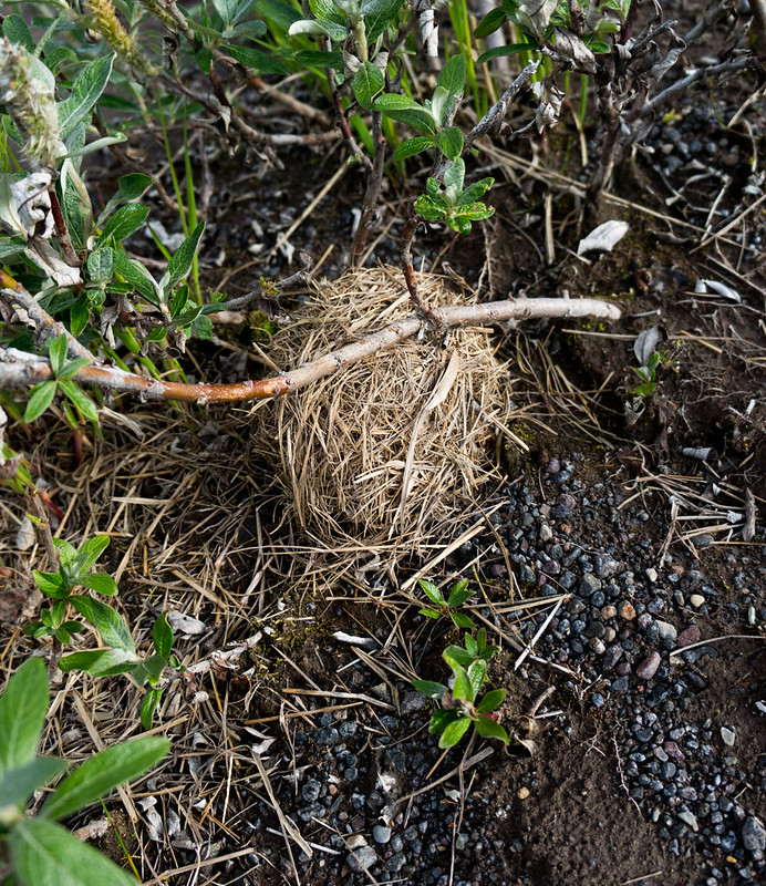
In some willows I found a round ball of grass, which turned out to be a birds nest of some sort – very neat..

DSC06972

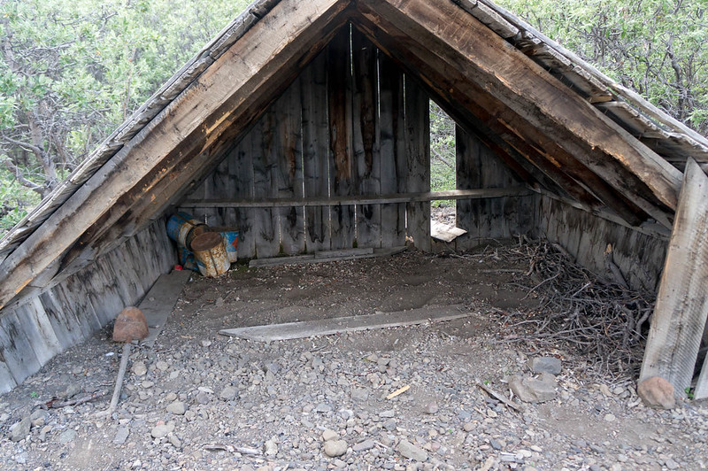
I spent an hour or so exploring the valley, and checked out the “cabin” marked on the map, which was more of a three-sided shack.

DSC06963

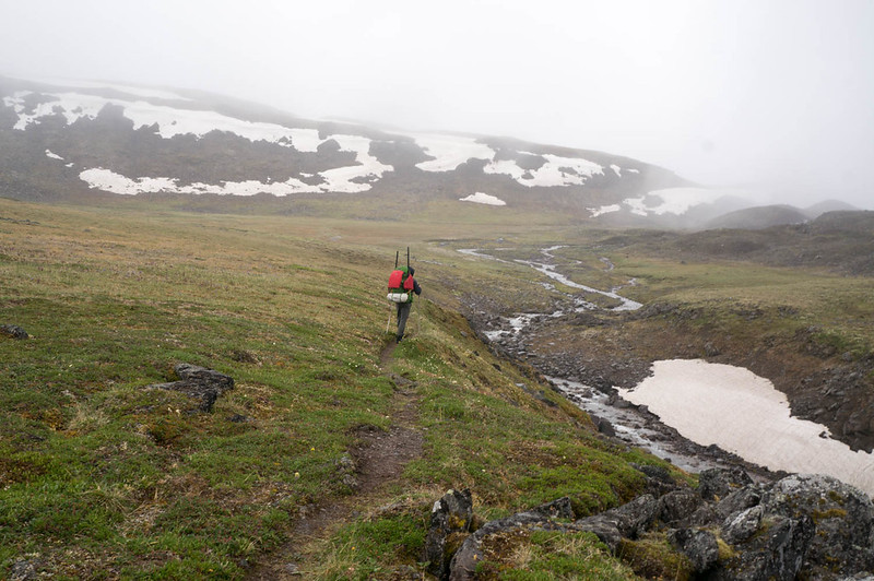
In the morning we headed up to Chitistone Pass, where it was a near complete white-out.

DSC06987

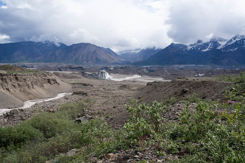
We also ran into the first people we had seen since Chisana, two hikers wandering around in the rain and mist near their tent who refused to return our waves – a bit creepy. Fortunately, we dropped out of the mist, and enjoyed some fantastic walking along the Chitistone River. We eventually saw another party ahead of us, and shortly after that startled a little brown bear who headed off at high speed. We eventually overtook the party, and learned it was Nate and Krista who are also from Fairbanks, and much to my surprise – Krista works with my wife Nancy, and knows my daughters Molly and Lizzy. It is a very small world. Soon we were at the crux of the trip – the legendary scree of the goat trail!

DSC07007

DSC07011
(Heath, checking out the goat trail..)

DSC07015

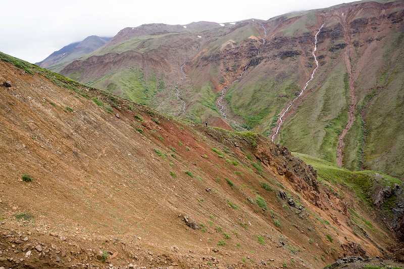
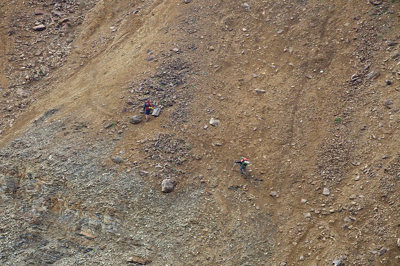
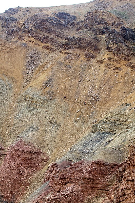
I had been told everything from it was a fairly tame walk across a scree slope, to it was a scary walk along a rock wall above a huge drop, separated by the “gorge of death”. It turned out to be a mostly tame scree walk. I think it could have been possible to fall to your doom, but mostly I think you would have just rolled to a stop before any doom, with lots of bruises and scrapes. I didn’t test this idea though..

We stuck to the “yellow band”, as most folks seem to recommend, and came out without any issues.

Skolai, hole, to Nazina 306
(Photo compliments of Krista Heeringa)

Skolai, hole, to Nazina 304
(Photo compliments of Krista Heeringa)
Skolai, hole, to Nazina 235
(Photo compliments of Krista Heeringa)

DSC07059

DSC07060

DSC07065

Nate and Krista took a completely different route, going quite a bit higher than us, so perhaps we did it wrong. Regardless, it was a super scenic walk, with waterfalls everywhere! After the scree slopes it was just mellow downhill alpine walking, complete with a huge herd of sheep grazing on the hillside in the last valley we passed.

In the evening we camped on a nice bluff, in sight of a glacier and Chitistone Falls – best campsite ever!

DSC07094

DSC07110

In the morning we hiked down to the Chitistone, inflated and crossed the creek when we found we couldn’t get across, and started hiking downriver.

DSC07114

DSC07122

The hiking was mostly pretty fantastic, besides a mile or so of willow thickets that Heath just breezed though, and I had to smash though like a ogre, getting constantly stuck. Very helpful for my self-image…
We eventually made it to Glacier Creek, where we planned to float. The weather had been very warm, and the Chitistone was now running very fast and a bit high, so we put in with a bit of trepidation, but it worked out – the creek was fun, splashy, and fast. After a hour or so we pulled out and camped, as at this rate we would be at the final takeout before we knew it. The evening was spent mellowing out and exploring the Chitistones floodplain.

DSC07131

In the evening we were buzzed by a Supercub. Later we learned someone in a wing-suit had flown over us, and had been picked up by the plane. In the morning we packed up and floated the last of the Chitistone, taking a side channel around a new section of river where the river is chewing into a forest. We floated the Nizna to May Creek road, where we packed up and hiked into town.

DSC07141

Fortunately the really long and boring road hike was shortened when we hitched a ride with Greg from Kennicott Guides on a double-wide ATV.

DSC07144

McCarthy was as charming as ever, with folks stopping to talk to us nearly constantly. The upcoming packrafting festival appeared to be the talk of the town. Heath and I grabbed lunch, then caught a slightly earlier flight back with McCarthy Air to Devil’s Mountain lodge.
DSC07150

DSC07178

We jogged back to the truck, and Heath joked that with my very holey shirt, it looked like I was “A homeless guy chasing a yuppie.” After nearly 6 miles of running, we made it to the truck, drove back to get our stuff, then headed back to Fairbanks – hurrah!

A couple of notes:

  • Don’t use Thermarest with stupid patches. My pad kept deflating, and I was up to two inflations a night before I taped over the patch with duck tape.
  • This route has lots of tricky water crossings. Folks thinking of replicating it should make sure they are ok with big-ish stream crossing, and budget extra time in case some of the creeks (like flood creek, or lime creek) are running high.
  • The Chitistone was flowing pretty big when we did it, and above Glacier Creek it looks pretty burly – lots of water moving fast. Below Glacier Creek it was class II with a few big obstacles, and near the Nizana, lots of wood. Very manageable though. Some bikers from Spain flipped someplace in the Chitistone, and one of them lost his gear, making the last few days of their trip pretty epic.
  • There are several re-supply options – the solo creek runway, skolei runway, and Chisana. I was told by McCarthy air that if they had other flights going that way, a small drop bag would be $100, which seems like a fairly good deal.
  • I should have brought a fair bit more food – I lost around 6lbs on this trip.
  • At the last minute, I brought a dry suit. That was, I think, a good call, but added a few pounds of extra weight. YMMV.
  • I am done with non-waterproof packs for packrafting. I have an old Arcteryx pack, that while nearly 4lbs empty, is completely waterproof. Alas, the hip belt is coming off, and the suspension sucks, so I replaced it with a big osprey pack. I was happy with the pack, but wasn’t happy with how much water it sucked up, all the extra zippers it had, and how many dry bags I brought with me. A pack made of some sort of waterproof material is on my list. It looks like mt hardware makes several, as does HMG. Alas, HMG’s packs are not as big as I would like. To bad all the newer arcteryx packs have so many gizmos – the one I have from them is a very simple affair, just a big single compartment body and a top lid.
  • I really love my Inreach – it was fantastic to txt Nancy and the twins at the end of the day and check in with them, and kept me feeling connected with them. Alas, the last day I swapped out the batteries, and didn’t notice the shell wasn’t completely dry, and got water in it.. and it stopped working. Duh! Hopefully it will come back to life.
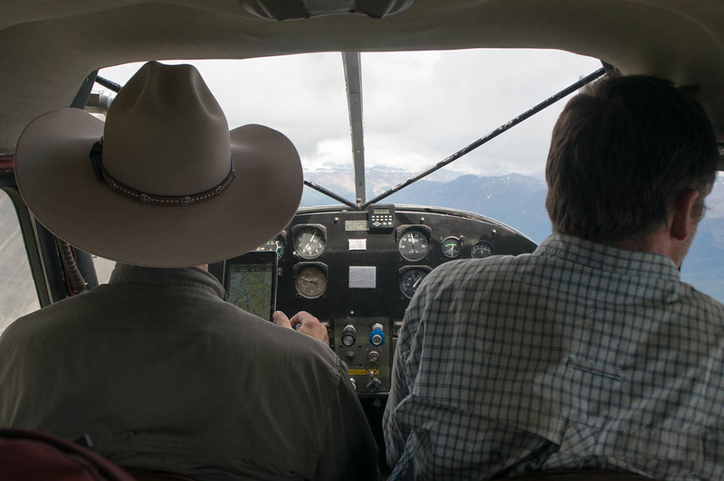
  • Smart phones are now a nearly complete gps replacement – Heath did all his gps stuff using his phone, and it seemed to work very well. I brought a standard garmin etrex 30, which worked fine, but occasionally fired up Backcountry Navigator. Andrew Skurka has a discussion of the various options that is worth reading. On the flight back I noticed that the pilot used an android tablet running a mapping app rather than the specialized garmin aircraft nav widget I am used to seeing. The end of the stand alone gps?
  • I should have brought a better system for quick and easy access water, and some electrolyte drink mix. I was dehydrated a lot of the trip.
  • I sunburned my lips (!!) something I wasn’t even aware was possible. Next time I will bring some lip balm with sunscreen.
  • Heath found the birding to be awesome, with lots and lots of different species. Adding a few days just to birdwatch might be a good idea, if you are a birding sort of person.
  • Trust the Maps – I was getting pretty antsy near the end, as a write up I read said it was 35 miles from Skolia landing strip to Glacier Creek, and was thinking we didn’t have enough time for that. It turned out to be much less than that, more like 20. I should have mellowed out and trusted the maps – sorry Heath!
  • I can’t think of anything else at the moment.. will add anything else that comes to mind later.

I would like to thank Nancy and the twins for allowing me to disappear for 10 days, and Heath for doing all of the planning for this trip. Normally it is my job to do a lot of the trip planning, it was awesome to have someone else do that – hurrah!

Heath’s writeup can be found here, and is filled with truly awesome photos.

A interactive map of our route can be found here.
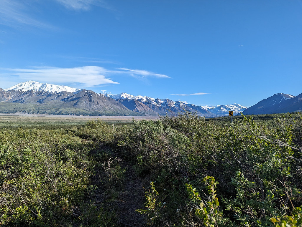
A few more photos can be found here:
Nabesna to McCarthy