A long time ago, in the late 1800s and early 1900s, gold miners hauled supplies from McCarthy to Chisana and Nabesna. I have always wanted to visit the area, and when Heath suggested hiking and packrafting it, I jumped at the oppotunity! The “original” route folks used went from McCarthy to Chisana and the Nabesna/Slana area, but we planned to reverse the route so we could float a bit. The route has a pretty storied history – it was a wilderness classic route in the late 80s, and folks have even taken bikes on it. I was beyond excited for this trip! Another major bonus was that Heath did all the planning, making this the first trip in a long time I didn’t need to think about all that much – hurrah!
We headed out of town midday for the 5 hour drive to Nabesna. Nabesna is on the end of a 40 mile dirt road, and the trip got off to a bit of a rough start when, after passing a couple of small wash-outs on we came to a much deeper one – one that I wasn’t brave enough to drive across. It was a beautiful blue sky day, but apparently it had been raining earlier. We parked the truck safe from the water coming down the wash-out, and after checking out the nearby Jack River, decided to start the float a bit early.
The Jack was near bank-full, and had enough water to be fun, but not too exciting. Besides a bit of wood, the floating was fun. We eventually camped at 11pm or so, a few miles short of our planned put-in spot. In the morning we awoke to clear skies and continued floating, eventually reaching the Nabesna River. The Jack was very scenic, and had a wonderful rock wall section that was pretty amazing. Alas, the water had a lot of sediment in it, and wasn’t clear, but still a fun float. The Nabesna was huge, much bigger than I expected. There were a few big boils and eddy lines that while no big deal, still got my heart racing. On the upside, the water was moving fast, averaging almost 10 mph (I think), and we quickly reached our take-out, near Cooper Creek.
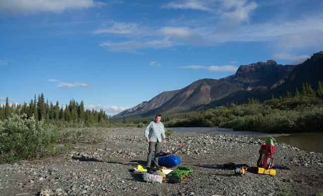
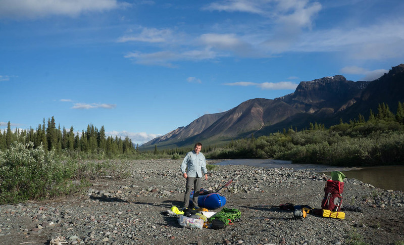
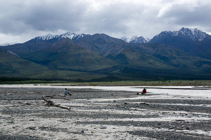
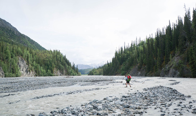
The wash plain of the Nabesna was super wide here, and while we were on the bank of the river, Cooper Creek was still over a half mile away – it is pretty amazing how wide the floodplain is for these large glacial rivers. As we were transitioning from floating to hiking mode I noticed a small plane parked in the distance. The pilot noticed us, and walked over to talk. After a brief conversation shouted over a side channel of the river, we discovered he worked for NPS, and had flown some rangers out to retrieve some equipment, and they were using packrafts. Hmm, perhaps we had packed up the boats too early. We headed out only to discover the rangers were using the boats to float a side channel of the Nabesna that ran right near the far side of the floodplain, and quickly determined it was too deep to ford… and out came the boats again.
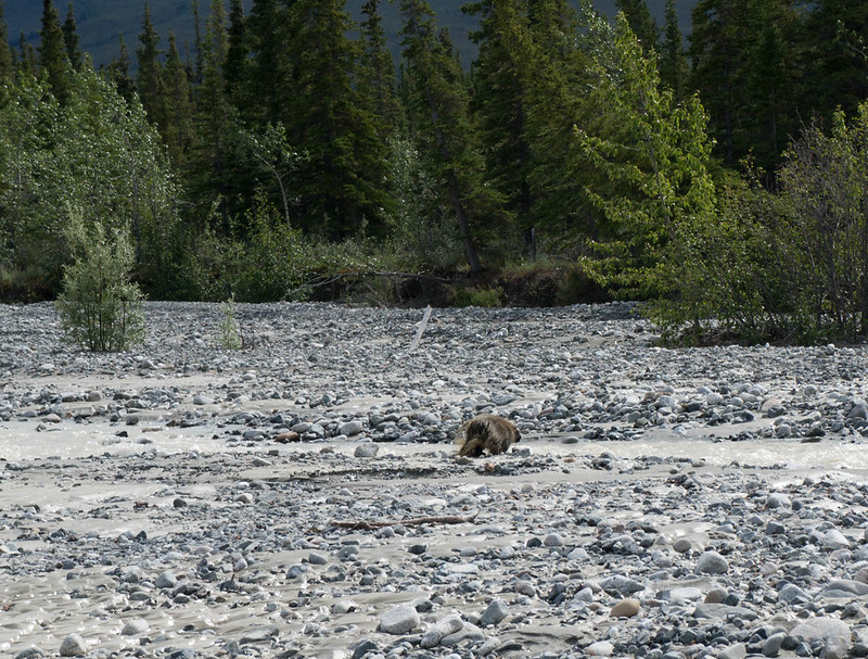
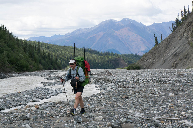
Eventually we made it across, and started heading up Cooper Creek. The walking was fantastic, though a bit cobbly. A mile or so up the creek we ran into a porcupine, which appeared to really want to cross the creek, but didn’t want to get wet.
We watched it a bit, as it slowly walked down the creek, checking occasionally to see if the creek had gone away yet or not. Not the brightest creatures. We also saw a small black bear, but managed to skirt around it without it noticing us. The rest of the day we hiked up Cooper Creek, bouncing from bank to bank, and eventually camped near the confluence of nine mile creek.
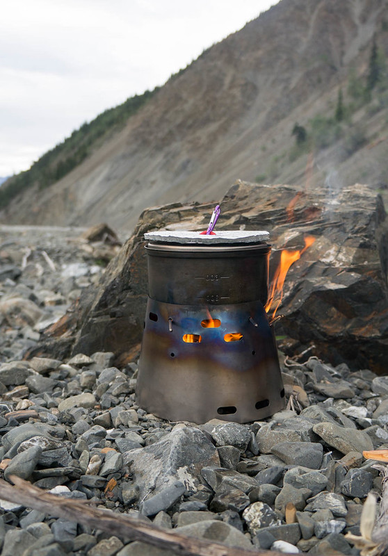
Heath had brought a little wood burning stove, which we had fun using. It was a bit slower than a traditional setup, but the ideal of unlimited hot water was pretty tempting..
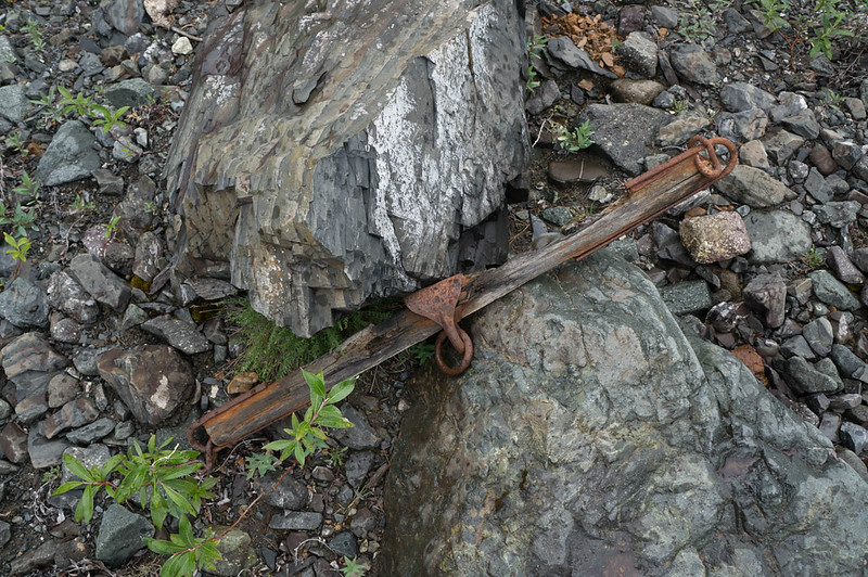
In the morning we kept heading up the creek, and I was excited to find my first artifact – hurrah!
I love bits of history that show how places have been used historically and currently. Finding “rusty bits” became a running joke for the rest of the trip.
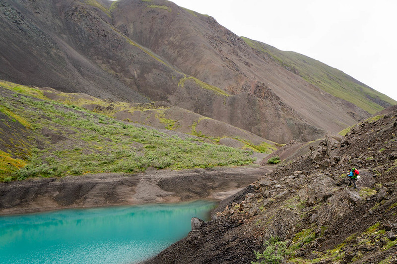
Eventually we topped out at a little pass, hitting Blue Lake, a wonderful little lake that would have been an awesome camping site, but alas, we had to get the mileage on.
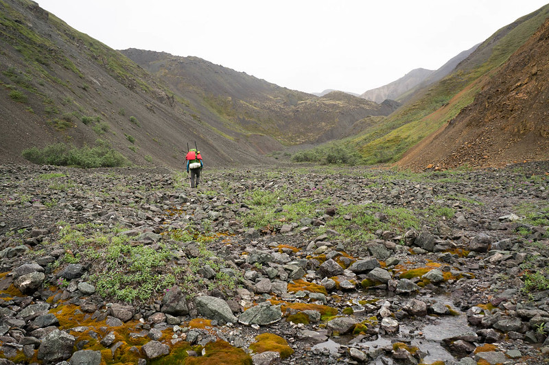
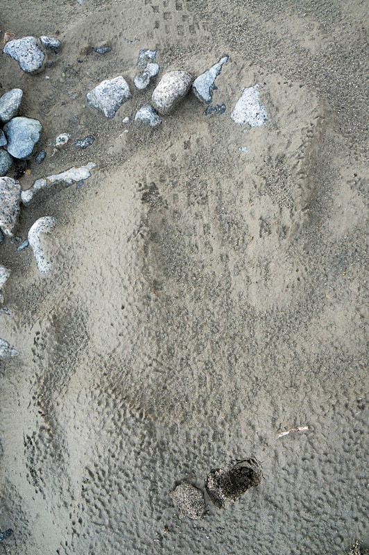
We headed over Cooper Pass, and down to Notch Creek, where I found an old collapsed cabin filled with more rusty bits. Notch Creek was pretty shallow, bumpy, and steep, so we walked down it, enjoying more fine cobble walking. Much to my surprise, I saw a set of fat bike tires on the creek bed – it appeared there were some bikers ahead of us!
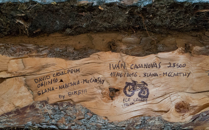
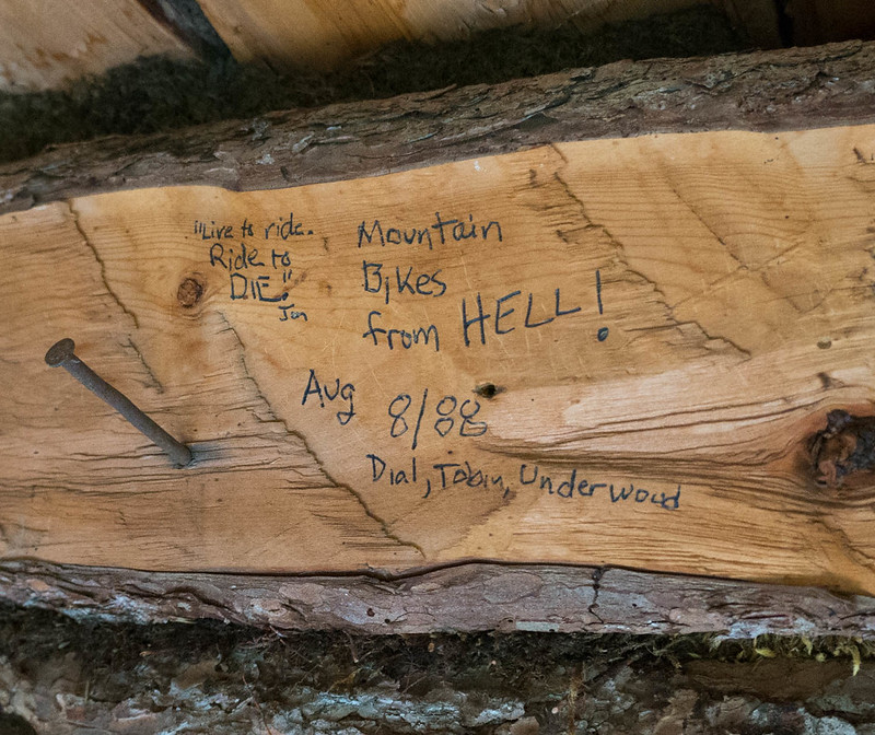
We camped near William Creek, hoping to float in the morning. We camped right next to a small clear stream. I enjoyed an experimental dinner of ramen noodles, dried coconut milk, peanut sauce, and coconut oil. Heath was a bit skeptical – “That is a lot of coconut oil.” was his take on it. I fell asleep to the sound of the water… only to be woken up when my pad deflated at 2am. Morning came two more rounds of inflation later, and my stomach was not happy. Apparently, while dinner was delicious, it did in fact have too much oil in it. I packed up camp and inflated my boat while trying not to be sick. The floating was fun, when Notch Creek had enough water. It bounced between wide braids and a single channel. When it was floatable, it was super fast and fun. Eventually we reached Cross Creek, where everything spread out and got too shallow, so we packed up our boats and headed off for the overland crossing to Chisana. Alas, I discovered that I was so distracted by not getting sick I had left my camera in a pouch on my pack, and it had gotten wet, and much to my disappointment, didn’t want to take photos – sadness! We forded Cross Creek, and headed overland to Chisana. We quickly found a marked trail, and were surprised to see horse prints – apparently folks use pack horses in this area – and we followed the horse trail over to the Chisana River. Alas, the Chisana river was too deep to ford, and so we inflated again, and floated across, then hiked over to Chisana. After hiking seemingly forever across the floodplain, we ran into a small pack of horses who seemed pretty scared of us, and who quickly ran off into the trees. We followed them, finding an ATV trail, that led us to a big complex, where the horses were waiting for us. They couldn’t seem to decide if we were something to be interested in, or scared of, so we carefully headed around them, and walked into town. We had discussed crashing at the public use cabin in Chisana, but we found it occupied by a couple touring Alaska by plane, so we headed out. After several false starts we found the trail heading out of town, eventually passing a clear(ish) stream near town that Heath said would be fantastic camping. I pressed to keep going, as there was another stream, Geohenda Creek, that was only a few miles away. Heath was very unamused to find Geohenda was thick with mud and far from the perfect campsite. We setup camp just as a huge thunderstorm passed by, just getting tents up before the deluge. The rain stopped fast though, and a bit of searching found some clear water, and soon we had dinner cooking, and enjoyed a nice bonfire on a dry channel of the creek. The next day we hiked up the creek, enjoying yet more cobbles and many muddy crossings of Geohenda. Gradually the water level dropped as we headed up into the higher country, and eventually we passed the source of the mud, a tiny creek coming in from a glacier. The country up high was beautiful, and very, very scenic. Our destination for the evening was Solo Mt. Cabin, a small historic cabin near Solo Mountain. A mile or so before the cabin we passed a huge grizzly munching away on the hillside, and I was very happy to reach the cabin just as a rainstorm arrived. I was a bit surprised to see shape the cabin was in – it is obvious at some point the NPS spent some time fixing it up – it looked like the foundation had been replaced, but having the door held shut by baling wire seemed a bit sad. We hung out in the cabin, and after collecting a bunch of dry alder from a nearby creek bed, we enjoyed a nice warm evening with the rain intermittently ringing off the roof. I had a great time reading the “log book” graffiti on the cabin walls, which was sort of a who’s who of all the crazy endurance folks and adventures in Alaska.
The morning came, and with it sunshine, and my camera was sort of working after an evening of sitting next to the fire – hurrah! Alas, sort of working meant that while it took pictures, the display wasn’t working, so it was hard to frame photos.
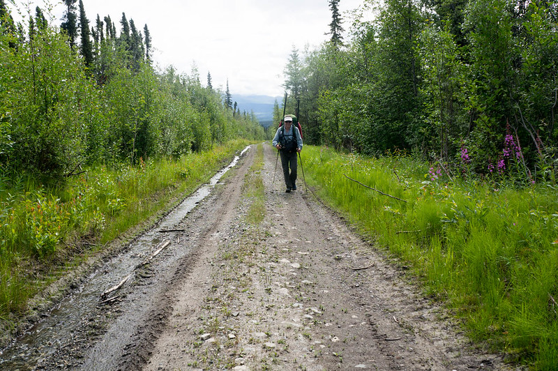
We hiked across to the wash plain of the White River, and were surprised to see trail markers, leading to a pretty well used winter and horse trail, that eventually turned into an ATV trail that appeared to head to a cabin complex on Solo Creek. We turned off the ATV trail onto an old game trail, as it was heading in the wrong direction, only to find an even bigger one headed in just the right direction. Just as we reached Lime Creek we saw a large herd of horses grazing on the floodplain. I really felt like I had stepped into the old west. Lime Creek was a bit too big to ford though, so we had to inflate to cross it. Once across we hiked a few more miles, then camped. Heath declared it the perfect campsite, with yellow flowers on one side, and purple on the other.
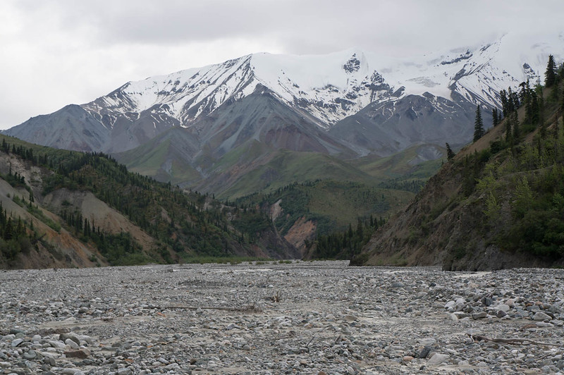
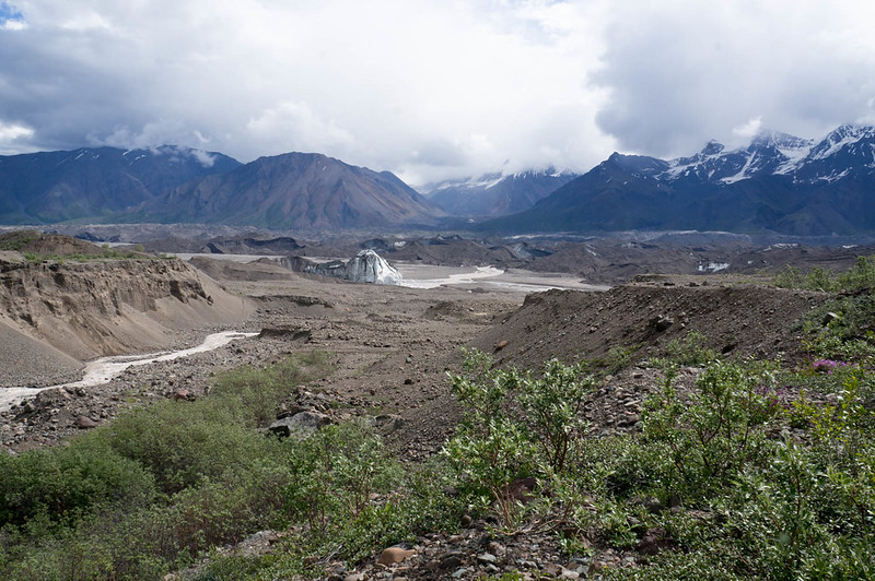
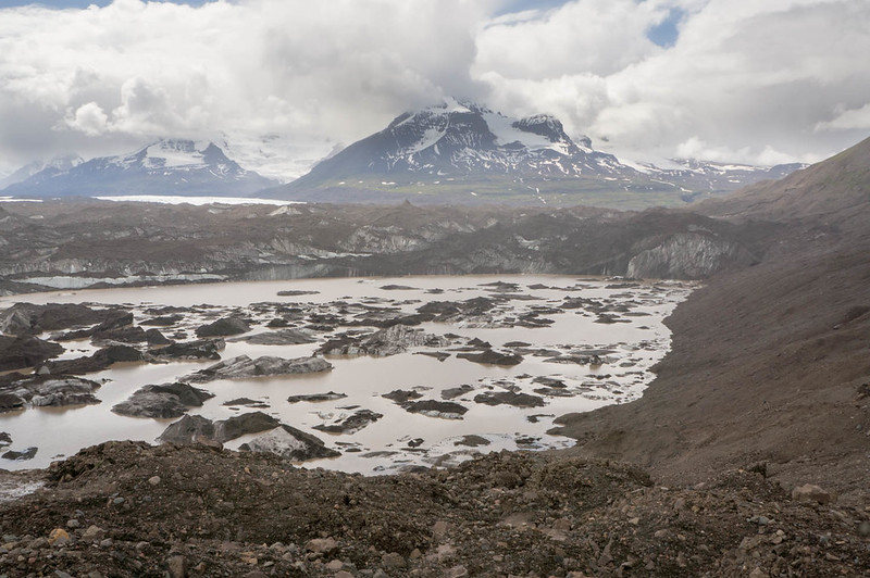
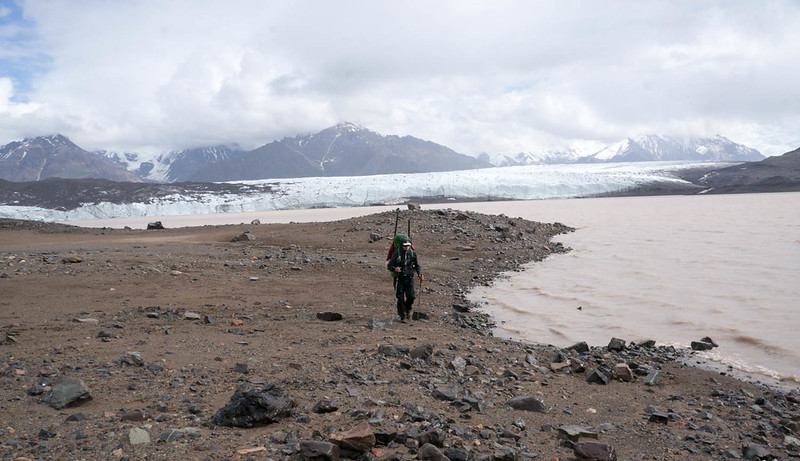
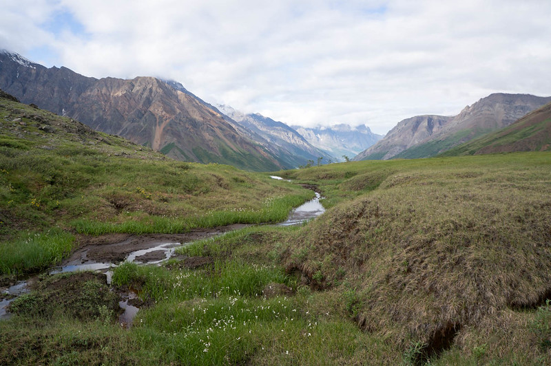
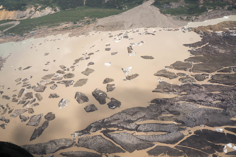
In the morning we headed up into Skolai pass, skirting the Russell Glacier, and slowly working over to upper Skolai Lake.
It was fantastically scenic. We worked our way across and over to Skolai Lake, eventually
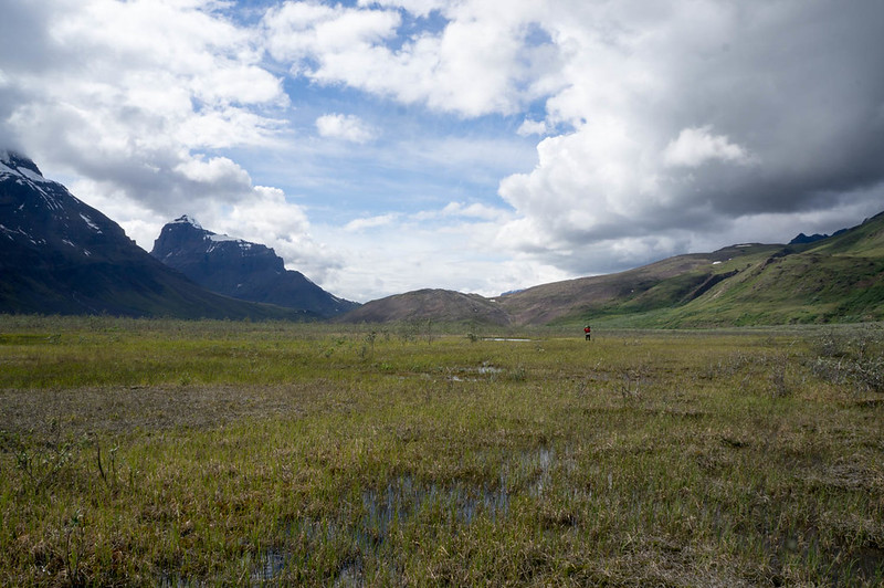
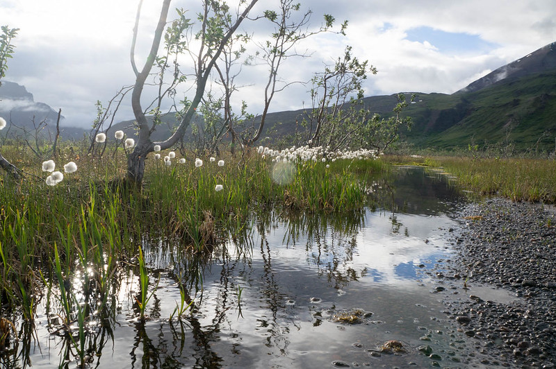
camping near the headwaters of Skolai Creek. The valley the creek originates from is a neat place, wide and marshy, with lots of standing dead willow.
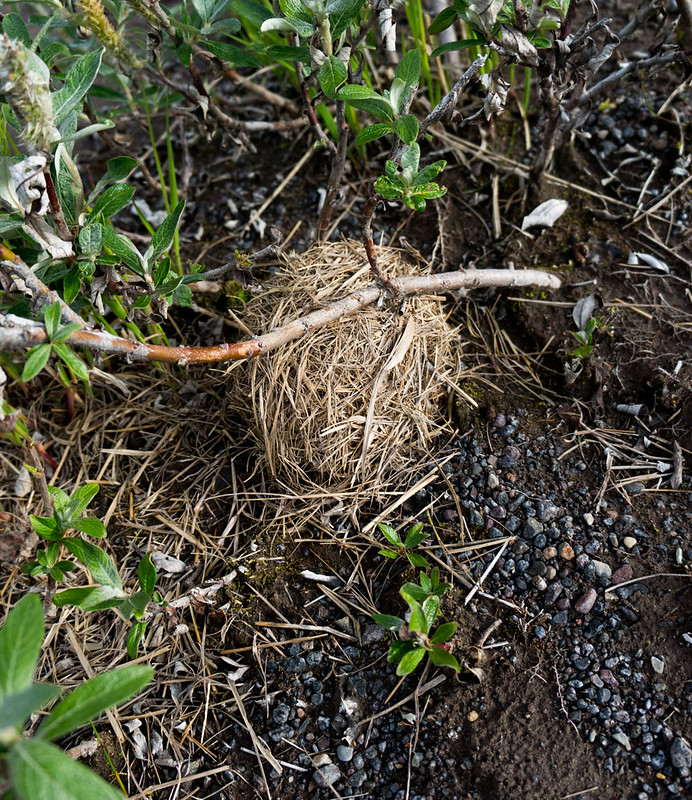
In some willows I found a round ball of grass, which turned out to be a birds nest of some sort – very neat..
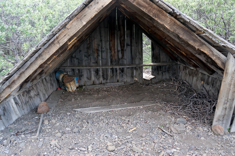
I spent an hour or so exploring the valley, and checked out the “cabin” marked on the map, which was more of a three-sided shack.
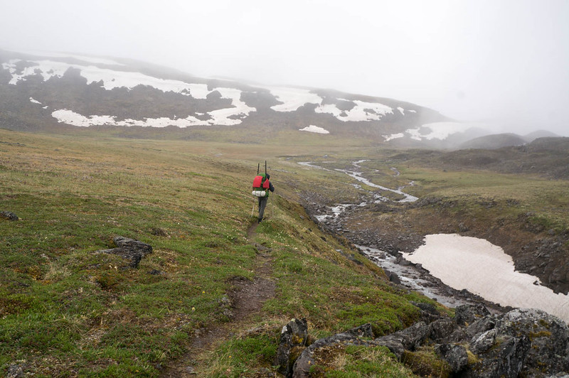
In the morning we headed up to Chitistone Pass, where it was a near complete white-out.
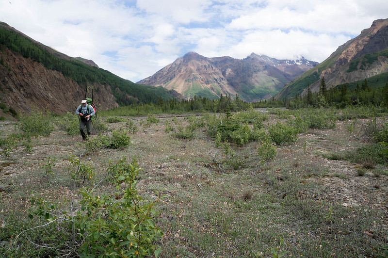
We also ran into the first people we had seen since Chisana, two hikers wandering around in the rain and mist near their tent who refused to return our waves – a bit creepy. Fortunately, we dropped out of the mist, and enjoyed some fantastic walking along the Chitistone River. We eventually saw another party ahead of us, and shortly after that startled a little brown bear who headed off at high speed. We eventually overtook the party, and learned it was Nate and Krista who are also from Fairbanks, and much to my surprise – Krista works with my wife Nancy, and knows my daughters Molly and Lizzy. It is a very small world. Soon we were at the crux of the trip – the legendary scree of the goat trail!
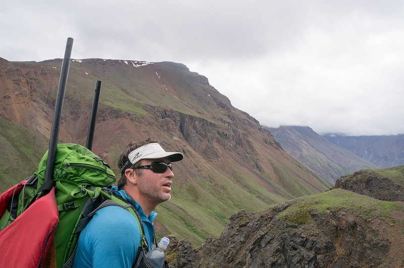
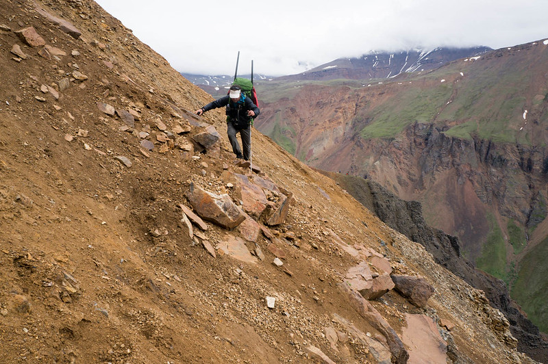
(Heath, checking out the goat trail..)
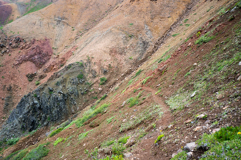
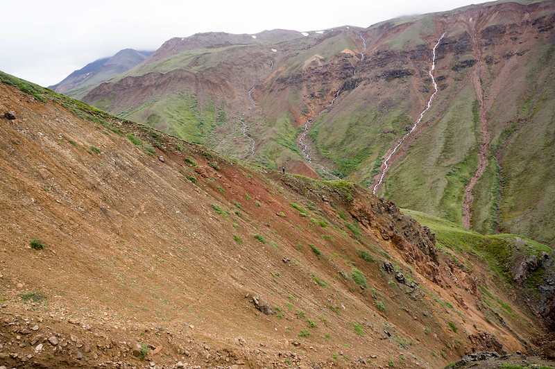
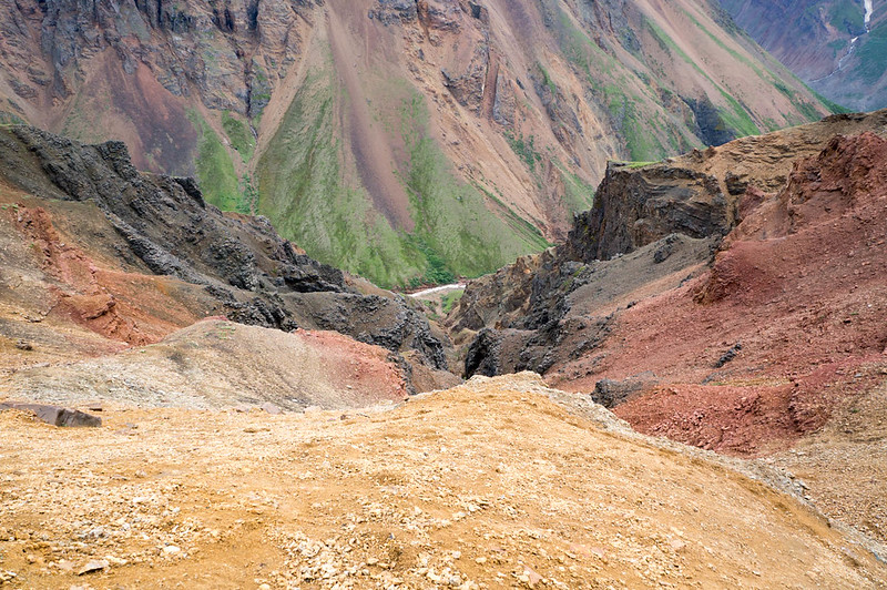
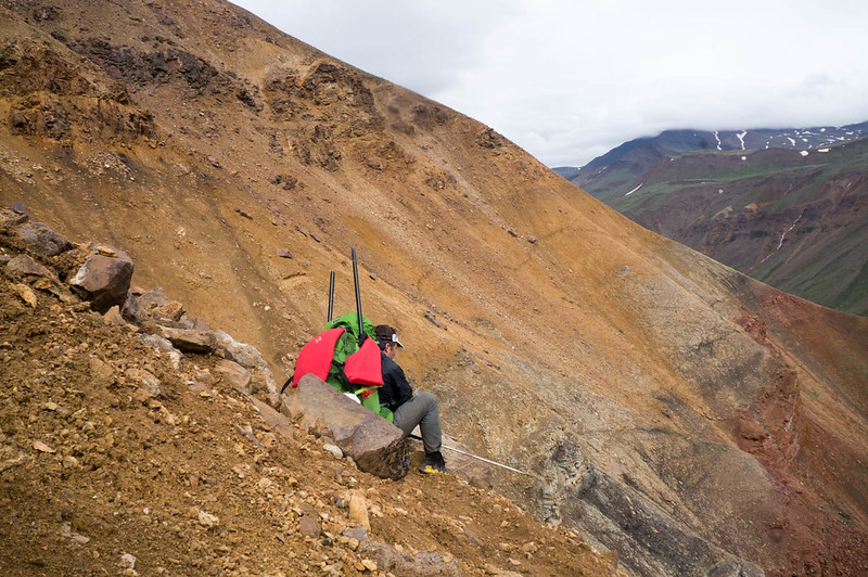
I had been told everything from it was a fairly tame walk across a scree slope, to it was a scary walk along a rock wall above a huge drop, separated by the “gorge of death”. It turned out to be a mostly tame scree walk. I think it could have been possible to fall to your doom, but mostly I think you would have just rolled to a stop before any doom, with lots of bruises and scrapes. I didn’t test this idea though..
We stuck to the “yellow band”, as most folks seem to recommend, and came out without any issues.
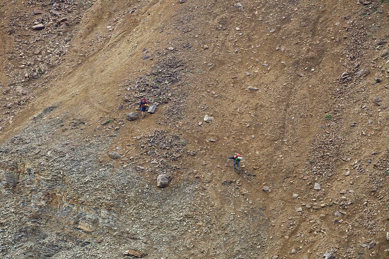
(Photo compliments of Krista Heeringa)
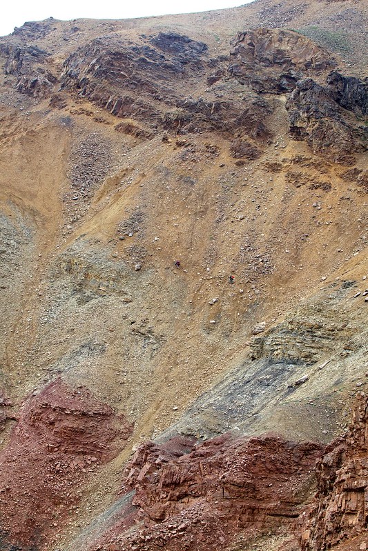
(Photo compliments of Krista Heeringa)

(Photo compliments of Krista Heeringa)
Nate and Krista took a completely different route, going quite a bit higher than us, so perhaps we did it wrong. Regardless, it was a super scenic walk, with waterfalls everywhere! After the scree slopes it was just mellow downhill alpine walking, complete with a huge herd of sheep grazing on the hillside in the last valley we passed.
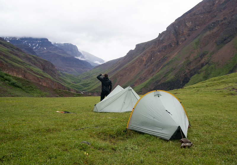
In the evening we camped on a nice bluff, in sight of a glacier and Chitistone Falls – best campsite ever!
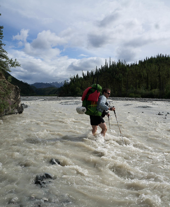
In the morning we hiked down to the Chitistone, inflated and crossed the creek when we found we couldn’t get across, and started hiking downriver.
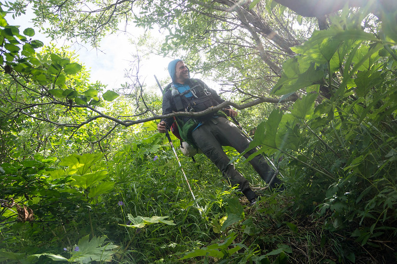
The hiking was mostly pretty fantastic, besides a mile or so of willow thickets that Heath just breezed though, and I had to smash though like a ogre, getting constantly stuck. Very helpful for my self-image…
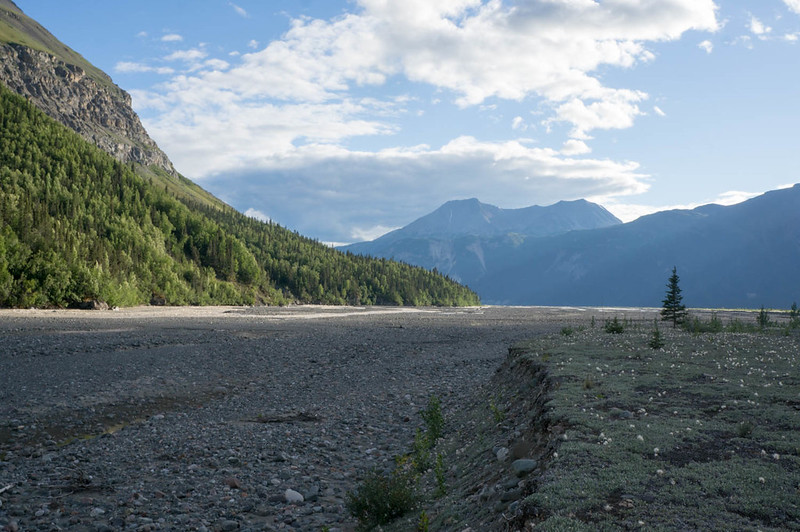
We eventually made it to Glacier Creek, where we planned to float. The weather had been very warm, and the Chitistone was now running very fast and a bit high, so we put in with a bit of trepidation, but it worked out – the creek was fun, splashy, and fast. After a hour or so we pulled out and camped, as at this rate we would be at the final takeout before we knew it. The evening was spent mellowing out and exploring the Chitistones floodplain.
In the evening we were buzzed by a Supercub. Later we learned someone in a wing-suit had flown over us, and had been picked up by the plane. In the morning we packed up and floated the last of the Chitistone, taking a side channel around a new section of river where the river is chewing into a forest. We floated the Nizna to May Creek road, where we packed up and hiked into town.
Fortunately the really long and boring road hike was shortened when we hitched a ride with Greg from Kennicott Guides on a double-wide ATV.
McCarthy was as charming as ever, with folks stopping to talk to us nearly constantly. The upcoming packrafting festival appeared to be the talk of the town. Heath and I grabbed lunch, then caught a slightly earlier flight back with McCarthy Air to Devil’s Mountain lodge.
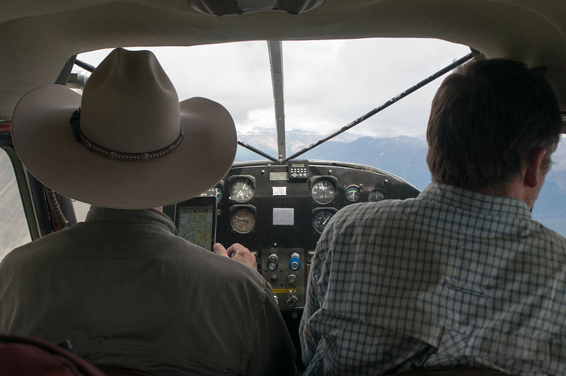
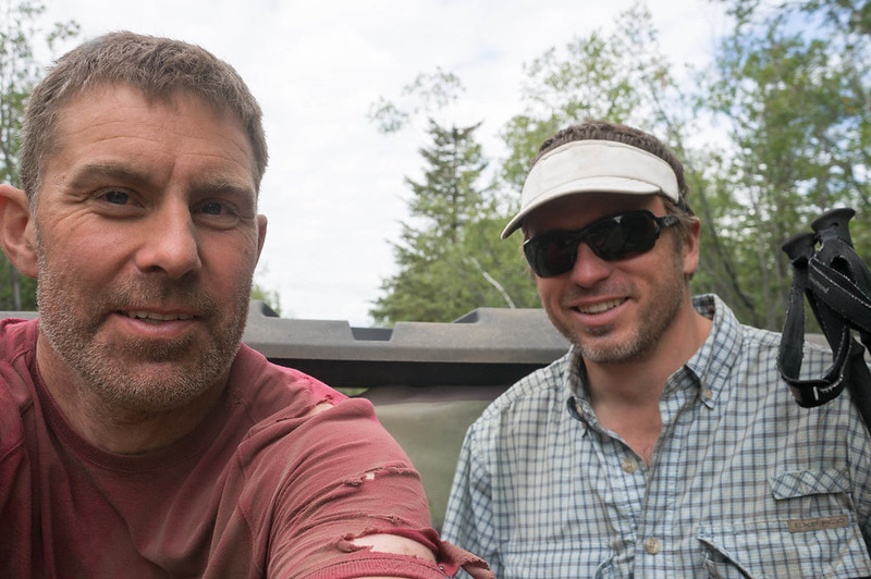
We jogged back to the truck, and Heath joked that with my very holey shirt, it looked like I was “A homeless guy chasing a yuppie.” After nearly 6 miles of running, we made it to the truck, drove back to get our stuff, then headed back to Fairbanks – hurrah!
A couple of notes:
- Don’t use Thermarest with stupid patches. My pad kept deflating, and I was up to two inflations a night before I taped over the patch with duck tape.
- This route has lots of tricky water crossings. Folks thinking of replicating it should make sure they are ok with big-ish stream crossing, and budget extra time in case some of the creeks (like flood creek, or lime creek) are running high.
- The Chitistone was flowing pretty big when we did it, and above Glacier Creek it looks pretty burly – lots of water moving fast. Below Glacier Creek it was class II with a few big obstacles, and near the Nizana, lots of wood. Very manageable though. Some bikers from Spain flipped someplace in the Chitistone, and one of them lost his gear, making the last few days of their trip pretty epic.
- There are several re-supply options – the solo creek runway, skolei runway, and Chisana. I was told by McCarthy air that if they had other flights going that way, a small drop bag would be $100, which seems like a fairly good deal.
- I should have brought a fair bit more food – I lost around 6lbs on this trip.
- At the last minute, I brought a dry suit. That was, I think, a good call, but added a few pounds of extra weight. YMMV.
- I am done with non-waterproof packs for packrafting. I have an old Arcteryx pack, that while nearly 4lbs empty, is completely waterproof. Alas, the hip belt is coming off, and the suspension sucks, so I replaced it with a big osprey pack. I was happy with the pack, but wasn’t happy with how much water it sucked up, all the extra zippers it had, and how many dry bags I brought with me. A pack made of some sort of waterproof material is on my list. It looks like mt hardware makes several, as does HMG. Alas, HMG’s packs are not as big as I would like. To bad all the newer arcteryx packs have so many gizmos – the one I have from them is a very simple affair, just a big single compartment body and a top lid.
- I really love my Inreach – it was fantastic to txt Nancy and the twins at the end of the day and check in with them, and kept me feeling connected with them. Alas, the last day I swapped out the batteries, and didn’t notice the shell wasn’t completely dry, and got water in it.. and it stopped working. Duh! Hopefully it will come back to life.
- Smart phones are now a nearly complete gps replacement – Heath did all his gps stuff using his phone, and it seemed to work very well. I brought a standard garmin etrex 30, which worked fine, but occasionally fired up Backcountry Navigator. Andrew Skurka has a discussion of the various options that is worth reading. On the flight back I noticed that the pilot used an android tablet running a mapping app rather than the specialized garmin aircraft nav widget I am used to seeing. The end of the stand alone gps?
- I should have brought a better system for quick and easy access water, and some electrolyte drink mix. I was dehydrated a lot of the trip.
- I sunburned my lips (!!) something I wasn’t even aware was possible. Next time I will bring some lip balm with sunscreen.
- Heath found the birding to be awesome, with lots and lots of different species. Adding a few days just to birdwatch might be a good idea, if you are a birding sort of person.
- Trust the Maps – I was getting pretty antsy near the end, as a write up I read said it was 35 miles from Skolia landing strip to Glacier Creek, and was thinking we didn’t have enough time for that. It turned out to be much less than that, more like 20. I should have mellowed out and trusted the maps – sorry Heath!
- I can’t think of anything else at the moment.. will add anything else that comes to mind later.
I would like to thank Nancy and the twins for allowing me to disappear for 10 days, and Heath for doing all of the planning for this trip. Normally it is my job to do a lot of the trip planning, it was awesome to have someone else do that – hurrah!
Heath’s writeup can be found here, and is filled with truly awesome photos.
A interactive map of our route can be found here.
A few more photos can be found here:
Tags: arduous, chitistone, hiking, nabesna, notch creek, packrafting, skolai, solo mt cabin, the goat trail, wrangell st elias national park, wrangells
Great write up, Jay! It was fun to read after reading Heath’s. The interactive map is especially great, but our slow Internet connection sucks!
Glad you enjoyed it!
Thank you for taking time to write such a detailed post about your trip. Your description and map are, combined, definitely helpful to others considering this same route. Regarding your considerations of switching to a waterproof backpack, I switched to a waterproof pack after a bit of trouble pack rafting with a regular pack on the Kashwitna five years ago. Definitely worth the switch. When the pack is on the bow, gnarly water seems to grab a waterproof pack with much less force. Makes controlling the boat much easier. Anyway, I hope to take some pictures of The Goat Trail myself in the next couple of years.
Thanks!
Awesome trip report!
If you are still looking for a pack, in addition to HMG, you might check out the Seek Outside Unaweep 4800, 6300, or the Seek Outside Divide 4500. They are made from waterproof material and I prefer my Unaweep 4800 over the HMG Porter 4400 which I also tried.
Thanks for the suggestion, I will have to checkout the Seek Outside packs. I have never seen one in person, but the look like they might work well.
Hi,
I’m using a Ula Epic since years and very happy with iT. I Pack raft the John 3 years ago with a friend, using a HMG. I borrow a fex time for winter trip and I can say, those bag are not durable as the Ula. Easily puncture and the sawing are week. I’m reading your blog thinking going back to The Brooks next year. Mat
Thanks – I ended up getting an HMG, but I haven’t tried it out yet this year. I guess I am going see how well it works!
Hello just wondering when you did this trip? Looking to do something similar late May to early June.
We did this trip in late June, and started on the 26th I think.
Late May might be too early snow wise, but you could ask the Wrangell Saint Elias NPS staff and see what they say.
Best of luck on the trip!
great writeup, jay — thanks for sharing.
getting ready to do this trip — with bikes — in a few weeks.
just a note about packs and keeping stuff dry: i don’t understand why people are still not using the zipper boat option, where you can stuff your, um, stuff inside the tubes? doing so not only keeps your stuff dry but it lowers your center of gravity and makes the boat much more stable.
this wouldn’t change things for rain or deep stream crossings — you’d still need strategies for those.
anyhoo, thanks again.
Thanks!
I am glad you found it useful/informative/motivational, hopefully it pays you back in some small way for your posts about the Iditarod trail. 🙂 I started this blog because I felt I needed to give something back for all the interesting adventures I have had that were inspired by trip reports I read about online and in print. Have a great trip, this is a pretty awesome place!
In regards to the zippers – when they first came out I was pretty interested, but on the fence, as I wanted to (other) folks to see how they hold up. I am sold now, and was just pricing them out this morning. Too bad the new caribou doesn’t come with a deck option, that boat looks ideal for my use.
You are already probably aware of this, but if it is warm, watch out for the glacier fed creeks, some of them were really pumping when we went though!
Let me know if you need any logistical help from Fairbanks.
Have a great trip!
Hopefully you are aware of this, but there looked like there was some neat trail around solo mountain, but I didn’t see a lot of ridable (for me) sections before that, and near none after that. Have fun!
Thanks for the great trip report! We are talking about doing a similar route at the end of August and debating if our loyal 4-legged companion can handle the route- wondering if you had any thoughts on how dog friendly, or not, it is. Not so worried about the miles as the amount of time scrambling on rocks- just did Carlo Creek to Nenana and the boulder hopping/scrambling down the back side of the pass was not the poor pup’s favorite.
Thanks for sharing your adventures, I always enjoy reading them- great inspiration!
I think most of the hiking is pretty dog friendly, however the floating might be an issue for dogs. The route we did involved floating part of the Nebesna, Chitistone, and Nizina, were all a bit bouncy. If you are sure your dog can handle the floating then it probably would be fine. Though there were lots of water crossings too, so your dog would have have to be comfortable swimming back and forth across creeks, and I guess the part around Skolai pass could also be hard on a dog, with lots of rocks and boulder hopping/scrambling. Have fun!
Thanks so much for posting this report. It helped us plan an execute a Chisana to McCarthy trip this July. Due to some landslide beta we were given by the NPS, we ended up going from the top of Chitistone Pass down Doubtful Creek to the Nizina and packrafting out from the lake. The whole trip was challenging and amazing. I would imagine the glacier area at Upper and Lower Skolai looks much different than when you were there.