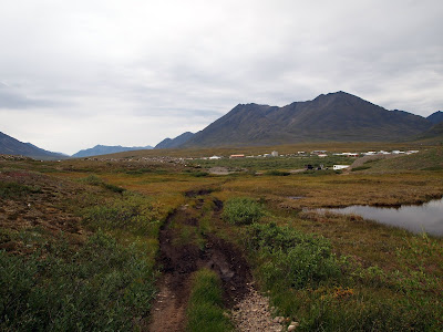
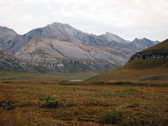
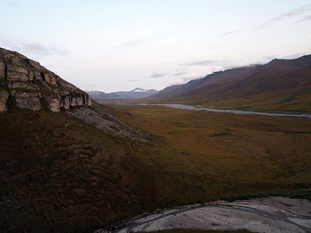
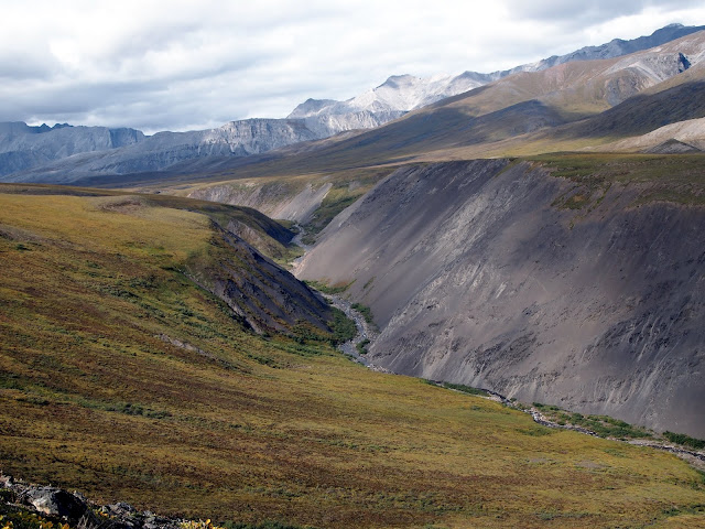
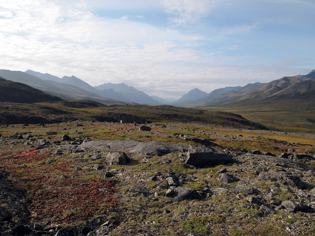
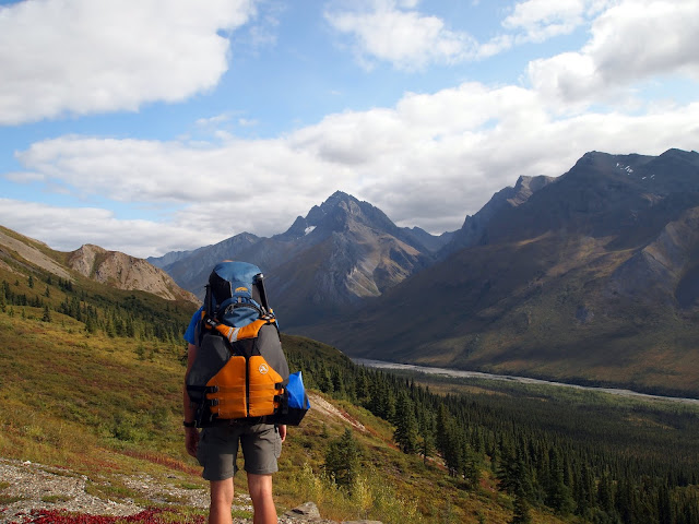
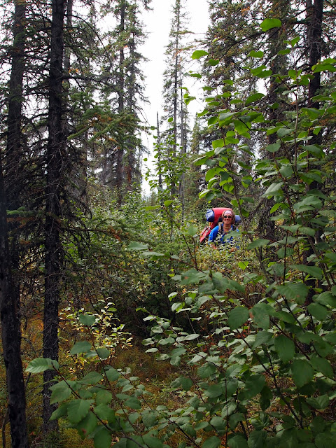
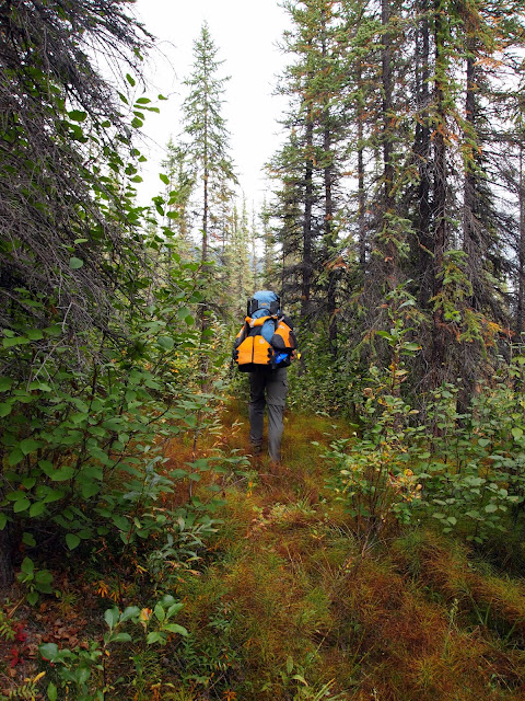
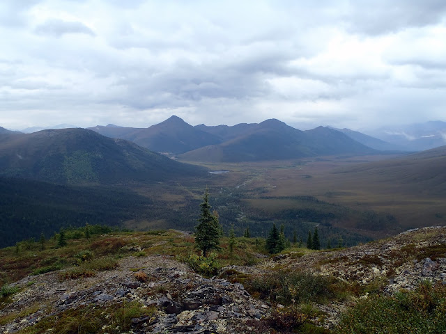
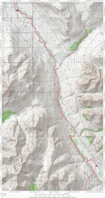
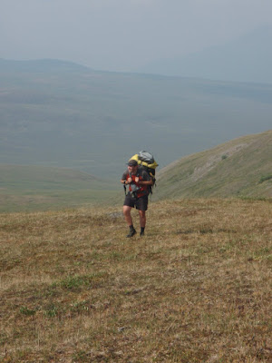
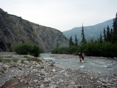
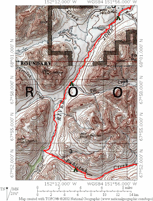
Molly, Pearl, Eddy, and I slowly made our way up Trembly Creek. Trembly started as a wide valley, but after a few miles necked down into a narrow, steep-sided gulley.
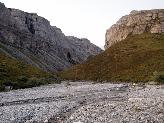
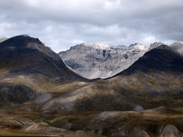
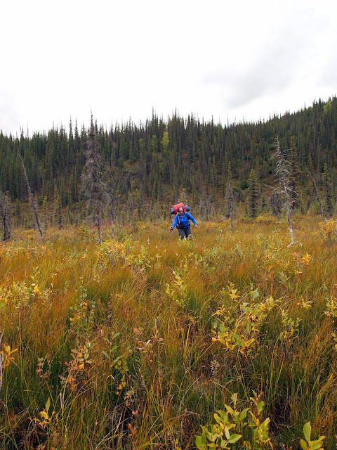
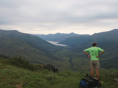
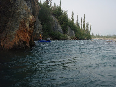
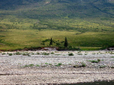
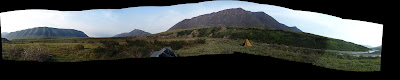
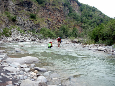
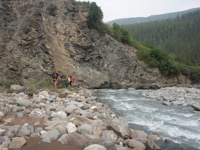
Gradually, we were getting clipped out, until we found the way blocked by a landslide, where the creek wove around swiftly through a pile of rubble. We were stopped! Molly and I fiddled around a bit, exploring options, going back and forth trying to see if we could get around the cliff and over the rockfall, but eventually we gave up and started looking at going up and around. Molly said we should go up river right, and I said river left. After too much discussion, I overruled Molly and we headed up on river left. Up the steep bank we went, pulling the dogs up when it was too steep for them. Eventually, we had a nice view of a well-defined bench on river right that looked like good walking – and of the cliffs ahead of us on the left side that we had to go up and around. Duh! A lot more up later, we could see the nice walking on the other side, well below us, taunting me for my poor decision. Molly only said “I told you so” once. Sigh.

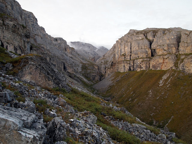
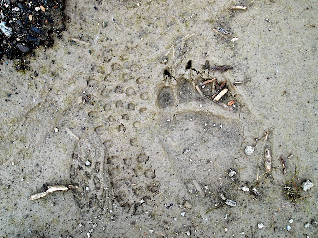
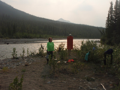
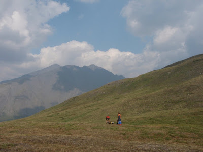
Scene of the poor route choice, dramatized by Molly.
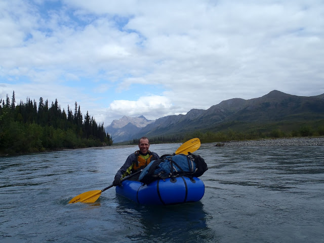
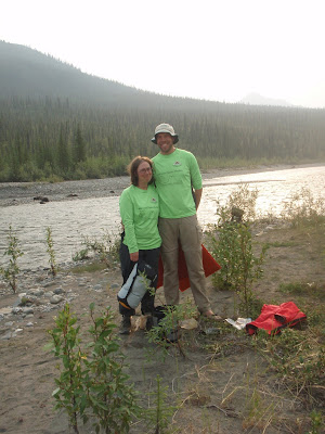
In mid-spring someone emailed a paddling email list I am a member of, asking for volunteers to join in a packrafting trip on the west coast of Alaska to perform stream samples. I checked with my family, and with their ok jumped on it. A few months later, Molly expressed some sadness that she couldn’t come along, as her birding work was done for the summer and she had lots of free time. After some discussion, I bailed on the sampling trip (they were able to find someone to replace me immediately, as it is a really neat trip in a very interesting and infrequently visited area) so I could do a trip with her. Lizzy still had two jobs and Nancy had work and theatrical commitments with a local Shakespeare group, so they didn’t get to join us.
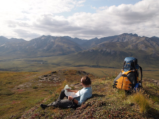
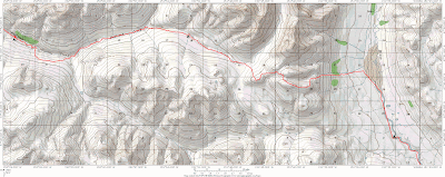
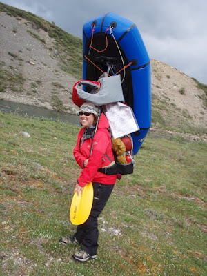
We waffled a bunch on destinations, and I ended up planning three trips in different parts of Alaska, in hopes at least one would have good weather. A few days before the trip the weather looked good in the Brooks Range, so we headed north, spending the night at the Marion Creek campground near Coldfoot. In the morning, we continued north to just before the road climbs up to Chandlar Shelf, and started hiking. We crossed the Dietrich River, and we were on our way!
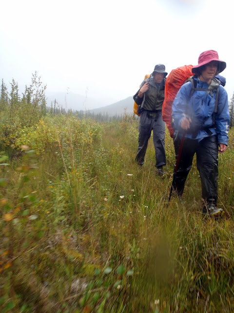
The trip was an adventure in a lot of ways. A week beforehand, we adopted a new dog, Pearl, from a nearby dog team and she was joining us on the trip with Eddy. Additionally, there were lots of stream crossings on the route and it wasn’t clear how much rain the area had seen recently. I was a bit worried about doing this trip with my daughter Molly – the route was pretty remote, and I felt more responsibility than “normal” trips. I wouldn’t have been that worried if I was solo, or with one of my normal trip partners, which was a new, odd feeling.
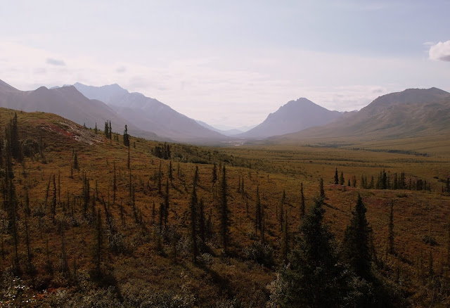
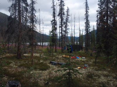
Regardless, the trip was a blast! We spent the first night on Trembly, where Pearl got a crash course on the world outside the dog yard.

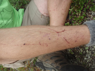
Her first lesson was that you can fall off of things – she slipped off a small cliff and fell into a pool of water, which caused me to panic, but she emerged unharmed, only very wet. She also learned that the little interesting holes in the ground have things in them when she stuck her nose in a ground squirrel hole and got bitten on the end of her nose. She seemed unconcerned but I freaked out as her face was covered in blood! It turned out that it was just a tiny nick and healed up quickly.
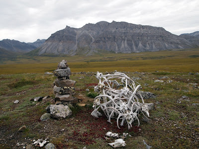
Eddy was also not unscathed – while walking up Trembly we kept finding bits of animal carcasses – sheep fluff, sheep parts, caribou antlers, carabou parts, and an entire dead porcupine – and at one point I wasn’t fast enough to stop him from eating a baseball-sized chunk of sheep fur that had his stomach a bit sad for a few days.

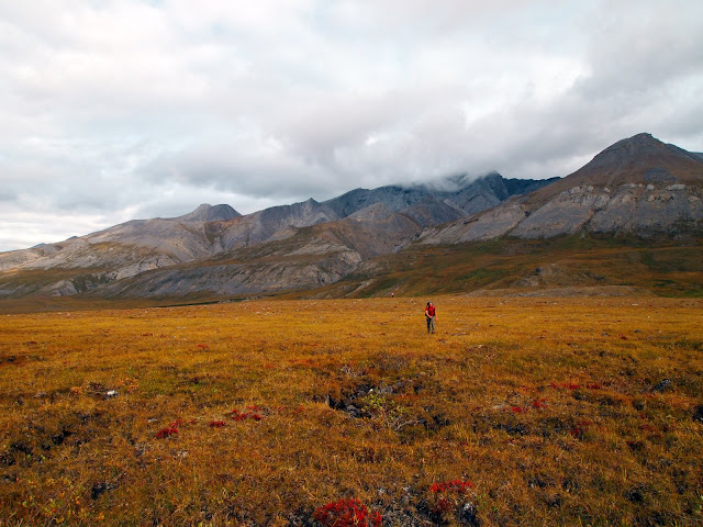
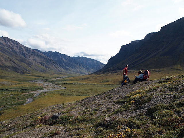
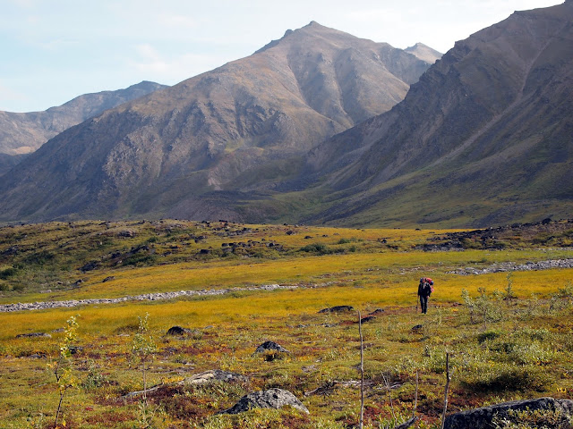
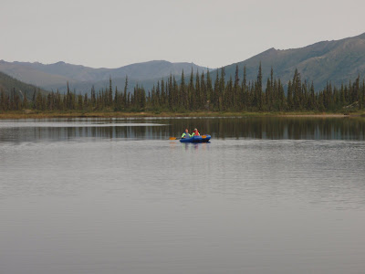
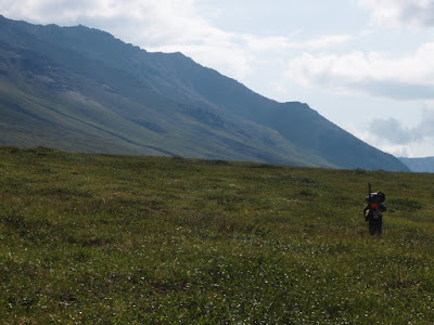
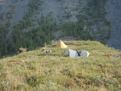
The next day we hiked over to Kinnorutin Pass and camped near a high alpine lake.


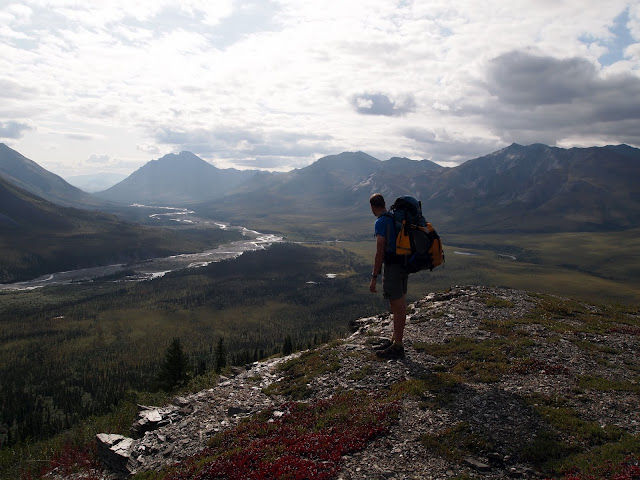
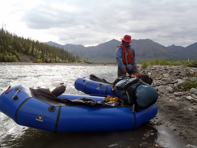
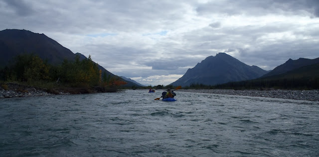
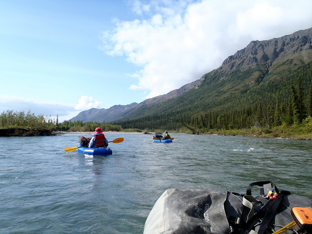
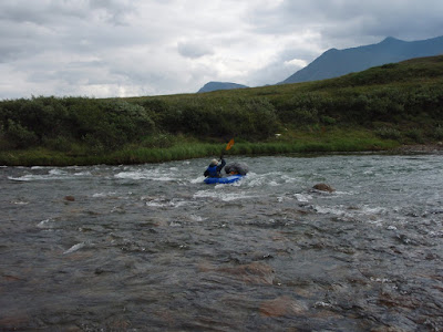
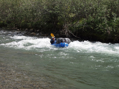
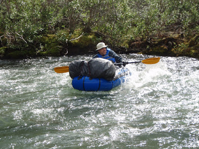
Then it was down Amawk Creek to the North Fork of the Koyukuk…


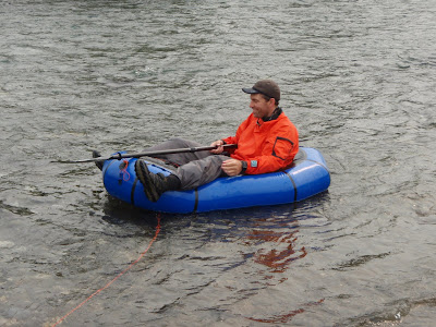
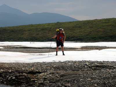
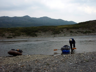
Pearl at this point had become a water crossing princess. If the water looked too deep for her to ford, she would look at Molly or I and give us a “ride, please” look, to which we would pick her up and carry her across. One of the benefits of being 30 lbs! Eddy, being closer to 70lbs, would just get the heave-ho assist, where I would grab the handle on his backpack and lift him up to pull him across. Eddy isn’t a fan of this method, but Princess Pearl loves being carried.

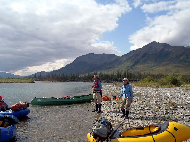
Once on the banks of the Koyokuk, we hiked up the river to the continental divide and camped.


The next day we hiked over to near Oolah pass, seeing our only people of the trip, a small group hiking to Anaktuvik from the highway.


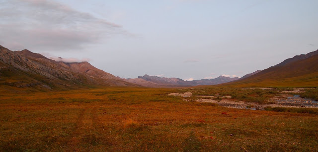
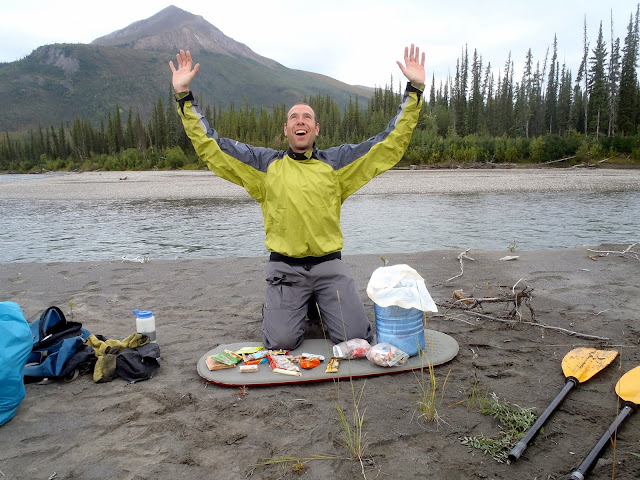
We were a bit ahead of schedule, and the forecast was for lots of rain soon, so on our final day we hiked over Oolah Pass and out on an unnamed creek to the highway. I finished up with a 7 mile bike ride to fetch the car.


Alas, I broke my seat on the ride..


It was a great trip! I was really excited to hike a “harder” trip with Molly, with longer days, completely off trail, and lots and lots of stream crossings. The route went through some truly beautiful country I had been before, and some wonderful places that were new to me. It was also the first trip of this length I had done completely off trail with Eddy, and of course Pearl was new to us and we were just starting to get acquainted. I had gotten a new, bigger tent for this trip (an ebay score, details below!), and we quickly learned that Pearl loves to snuggle in the tent. Eddy is a bit less excited by tent time, but likes it once settled in. Pearl did get very worked up when the marmots and ground squirrels would chirp at us, going into “cracker dog’ mode, where it was hard to get her attention, so she stayed on leash most of the time along with Eddy.
I really want to do do more of these!!
A few words from Molly
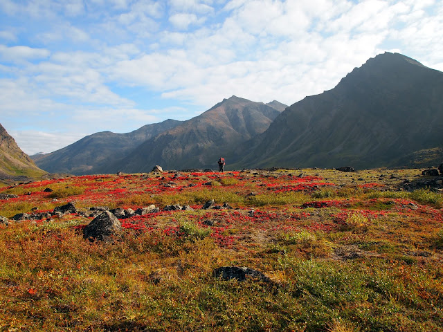
I really enjoyed getting to do this “real wilderness” trip, even though I complained about my dad’s route-finding and Pearl’s tendency to always tangle her leash in the brush sometimes. There were practically no mosquitoes at all, the weather was mostly clear, and the scenery was beautiful!
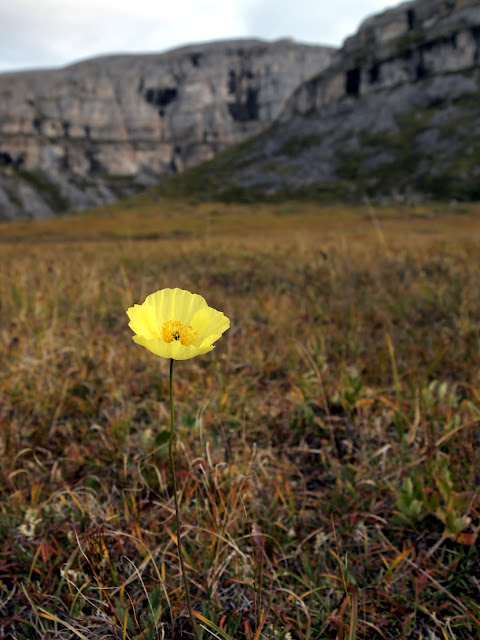
The arctic wildflowers, growing close to the ground, had to have been one of my favorite parts of the scenery. Understated little blossoms that I mostly didn’t know the names for but grew to recognize over the days. I wish I had made a photo journal of every type we saw.
A second favorite part of the trip was going up or down a “molly breaker” hill or a “dad breaker” pass and looking back to see where we had just come from. The distance puts the climb into perspective.
I loved it when we found a game trail to follow because it made the walking a bit easier, but also because it is fun to think about all the caribou, bears, and wolves that walked before you.
I learned quite a bit about the area we walked in from listening to my dad ramble on about famous landmarks, about past trips, and about potential future trips. He has mapped Wikipedia entries downloaded onto his phone for the area, so he could read me professionally curated information about mountains and rivers in the tent at night when I asked. In exchange, I read aloud the novel Artemis Fowl to him. It’s a children’s book, but we both seemed to enjoy it.
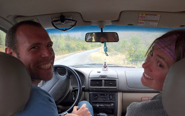
I would definitely like to do another trip in the Arctic next summer, but we either shouldn’t take the Subaru, or I need to drive instead of Dad. He kept looking at the scenery instead of the road, saying things like “ooh, it looks like we could hike up that valley there,” and then I would frantically say “pothole!” moments before the poor car smashed into it.
A few other notes..
- There were almost no bugs – it was amazing!
- In the classic in 2023, I shared an MSR two-person tent with Peter D, and really liked it. It was pretty light (~2lbs), and a “normal” style double-wall tent. In the early summer, I noticed a good deal on old stock 3-person version on ebay. I got it, and am super happy I did – it turned out to work great for two people and two dogs, and it was just over 3lbs. I really like that tent! Alas, the current version is bit heavier, possibly thicker material and normal vs carbon poles, and their lighter 3-person tent is a fair bit smaller. Highly recommended if you can find a NOS version of it.
- This is the first road-to-road loop I have done from the haul road that was purely hiking. I was surprised how quickly I could get to someplace interesting from the road. I need to do more of these, as it was logistically simple and fun! I have of course done several road to road trips off the dalton, but nothing “loop” like, were the start and end were so close together.
- I brought a very light ti roll-up windscreen for our stove which rocked.
- I really wished I had brought a light binocular or monocular as there were lots of neat birds and I am sure the valleys hid a lot of animals.
- Molly made dried dinners for each night, and they were very good. I even liked the ones with tofu in them!
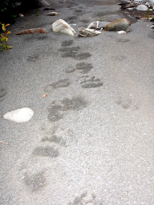
- We saw:
- Three bears
- Two sheep
- Lots of birds, including several pairs of merlins.
- A porcupine
- Six people
- Lots and lots of small critters – ground squirels, voles, marmots, etc.