Posts Tagged ‘north fork of the koyokuk’

A loop in the Arctic with Molly

Tuesday, September 2nd, 2025

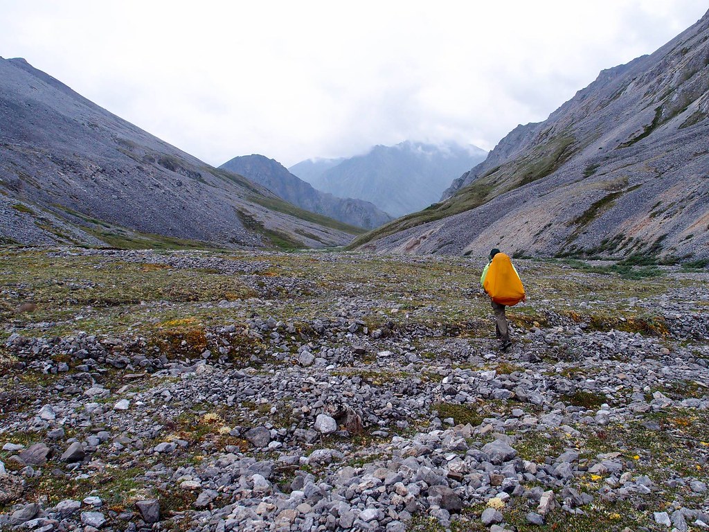
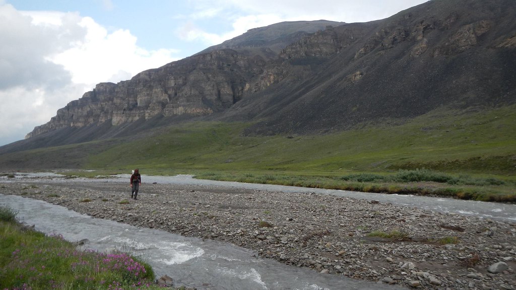
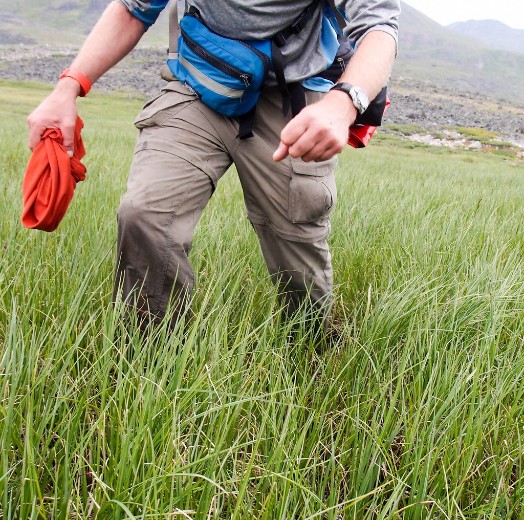
Molly, Pearl, Eddy, and I slowly made our way up Trembly Creek.  Trembly started as a wide valley, but after a few miles necked down into a narrow, steep-sided gulley. 

Gradually, we were getting clipped out, until we found the way blocked by a landslide, where the creek wove around swiftly through a pile of rubble.  We were stopped!  Molly and I fiddled around a bit, exploring options, going back and forth trying to see if we could get around the cliff and over the rockfall, but eventually we gave up and started looking at going up and around.  Molly said we should go up river right, and I said river left.   After too much discussion, I overruled Molly and we headed up on river left.  Up the steep bank we went, pulling the dogs up when it was too steep for them.  Eventually, we had a nice view of a well-defined bench on river right that looked like good walking – and of the cliffs ahead of us on the left side that we had to go up and around.  Duh!   A lot more up later, we could see the nice walking on the other side, well below us, taunting me for my poor decision.  Molly only said “I told you so” once.   Sigh.

Arctic Loop 2025

Scene of the poor route choice, dramatized by Molly.


In mid-spring someone emailed a paddling email list I am a member of, asking for volunteers to join in a packrafting trip on the west coast of Alaska to perform stream samples.  I checked with my family, and with their ok jumped on it.  A few months later, Molly expressed some sadness that she couldn’t come along, as her birding work was done for the summer and she had lots of free time.   After some discussion, I bailed on the sampling trip (they were able to find someone to replace me immediately, as it is a really neat trip in a very interesting and infrequently visited area) so I could do a trip with her.  Lizzy still had two jobs and Nancy had work and theatrical commitments with a local Shakespeare group, so they didn’t get to join us.

We waffled a bunch on destinations, and I ended up planning three trips in different parts of Alaska, in hopes at least one would have good weather.  A few days before the trip the weather looked good in the Brooks Range, so we headed north, spending the night at the Marion Creek campground near Coldfoot. In the morning, we continued north to just before the road climbs up to Chandlar Shelf, and started hiking.  We crossed the Dietrich River, and we were on our way! 

The trip was an adventure in a lot of ways.  A week beforehand, we adopted a new dog, Pearl, from a nearby dog team and she was joining us on the trip with Eddy.  Additionally, there were lots of stream crossings on the route and it wasn’t clear how much rain the area had seen recently.  I was a bit worried about doing this trip with my daughter Molly – the route was pretty remote, and I felt more responsibility than “normal” trips.  I wouldn’t have been that worried if I was solo, or with one of my normal trip partners, which was a new, odd feeling. 

Regardless, the trip was a blast!  We spent the first night on Trembly, where Pearl got a crash course on the world outside the dog yard. 

Arctic Loop 2025

Her first lesson was that you can fall off of things – she slipped off a small cliff and fell into a pool of water, which caused me to panic, but she emerged unharmed, only very wet.  She also learned that the little interesting holes in the ground have things in them when she stuck her nose in a ground squirrel hole and got bitten on the end of her nose.  She seemed unconcerned but I freaked out as her face was covered in blood!  It turned out that it was just a tiny nick and healed up quickly. 

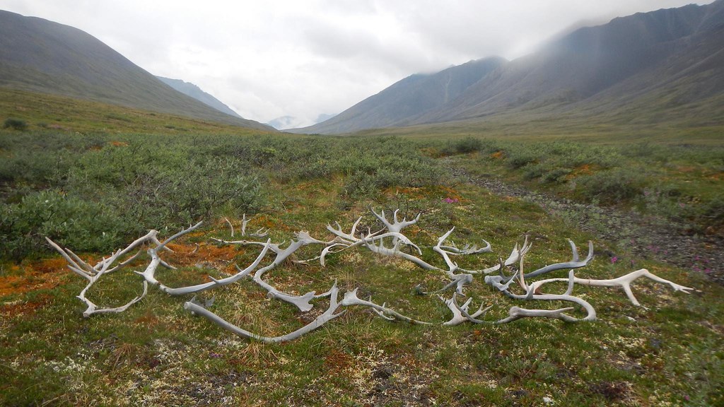
Eddy was also not unscathed – while walking up Trembly we kept finding bits of animal carcasses – sheep fluff, sheep parts, caribou antlers, carabou parts, and an entire dead porcupine – and at one point I wasn’t fast enough to stop him from eating a baseball-sized chunk of sheep fur that had his stomach a bit sad for a few days. 

Arctic Loop 2025


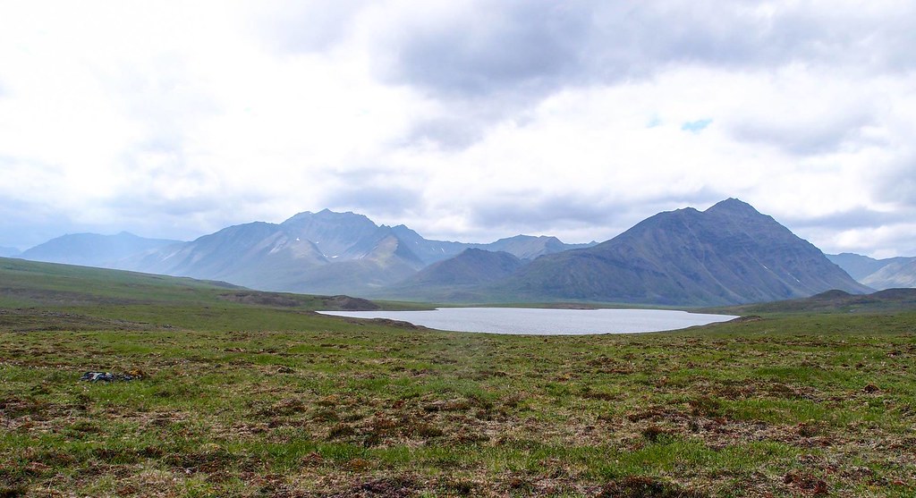
The next day we hiked over to Kinnorutin Pass and camped near a high alpine lake. 

Arctic Loop 2025

Arctic Loop 2025

Arctic Loop 2025

Arctic Loop 2025

Arctic Loop 2025

Then it was down Amawk Creek to the North Fork of the Koyukuk…

Arctic Loop 2025

Arctic Loop 2025

Arctic Loop 2025


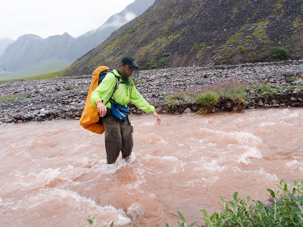
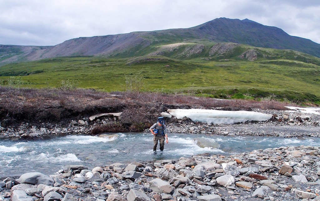
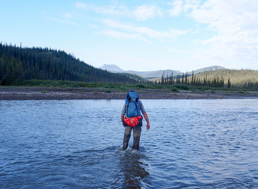
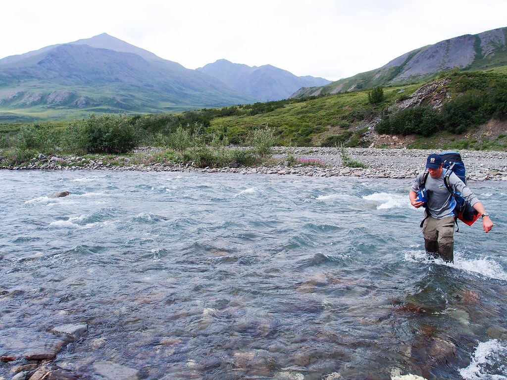
Pearl at this point had become a water crossing princess.  If the water looked too deep for her to ford, she would look at Molly or I and give us a “ride, please” look, to which we would pick her up and carry her across. One of the benefits of being 30 lbs!  Eddy, being closer to 70lbs,  would just get the heave-ho assist, where I would grab the handle on his backpack and lift him up to pull him across.   Eddy isn’t a fan of this method, but Princess Pearl loves being carried. 

Arctic Loop 2025

Once on the banks of the Koyokuk, we hiked up the river to the continental divide and camped. 

Arctic Loop 2025

Arctic Loop 2025

Molly Trip 2025!!

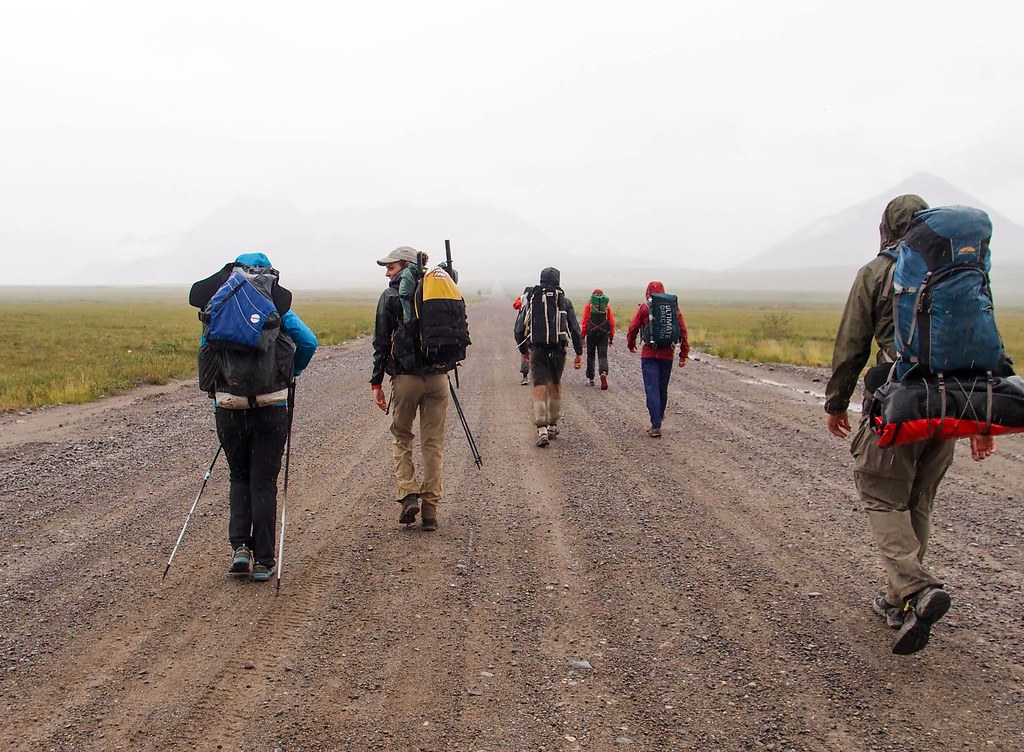
The next day we hiked over to near Oolah pass, seeing our only people of the trip, a small group hiking to Anaktuvik from the highway.  

Molly Trip 2025!!

Arctic Loop 2025

Arctic Loop 2025

Arctic Loop 2025

Arctic Loop 2025

Molly trip 2025!!

We were a bit ahead of schedule, and the forecast was for lots of rain soon, so on our final day we hiked over Oolah Pass and out on an unnamed creek to the highway.   I finished up with a 7 mile bike ride to fetch the car. 

Molly Trip 2025!! Arctic Loop 2025

PXL_20250723_001239768.MP

Arctic Loop 2025

Arctic Loop 2025

Alas, I broke my seat on the ride..

Broken seat!! Broken seat!!


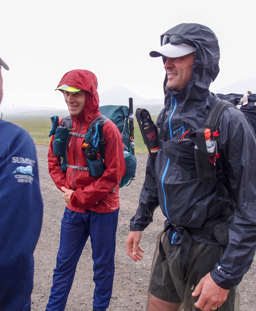
It was a great trip!  I was really excited to hike a “harder” trip with Molly, with longer days, completely off trail, and lots and lots of stream crossings.   The route went through some truly beautiful country I had been before, and some wonderful places that were new to me.  It was also the first trip of this length I had done completely off trail with Eddy, and of course Pearl was new to us and we were just starting to get acquainted.   I had gotten a new, bigger tent for this trip (an ebay score, details below!), and we quickly learned that Pearl loves to snuggle in the tent.  Eddy is a bit less excited by tent time, but likes it once settled in.   Pearl did get very worked up when the marmots and ground squirrels would chirp at us, going into “cracker dog’ mode, where it was hard to get her attention, so she stayed on leash most of the time along with Eddy.  

I really want to do do more of these!!

A few words from Molly

I really enjoyed getting to do this “real wilderness” trip, even though I complained about my dad’s route-finding and Pearl’s tendency to always tangle her leash in the brush sometimes. There were practically no mosquitoes at all, the weather was mostly clear, and the scenery was beautiful!

The arctic wildflowers, growing close to the ground, had to have been one of my favorite parts of the scenery. Understated little blossoms that I mostly didn’t know the names for but grew to recognize over the days. I wish I had made a photo journal of every type we saw. 

A second favorite part of the trip was going up or down a “molly breaker” hill or a “dad breaker” pass and looking back to see where we had just come from. The distance puts the climb into perspective. 

I loved it when we found a game trail to follow because it made the walking a bit easier, but also because it is fun to think about all the caribou, bears, and wolves that walked before you. 

I learned quite a bit about the area we walked in from listening to my dad ramble on about famous landmarks, about past trips, and about potential future trips. He has mapped Wikipedia entries downloaded onto his phone for the area, so he could read me professionally curated information about mountains and rivers in the tent at night when I asked. In exchange, I read aloud the novel Artemis Fowl to him. It’s a children’s book, but we both seemed to enjoy it. 

I would definitely like to do another trip in the Arctic next summer, but we either shouldn’t take the Subaru, or I need to drive instead of Dad. He kept looking at the scenery instead of the road, saying things like “ooh, it looks like we could hike up that valley there,” and then I would frantically say “pothole!” moments before the poor car smashed into it.


A few other notes..

  • There were almost no bugs – it was amazing! 
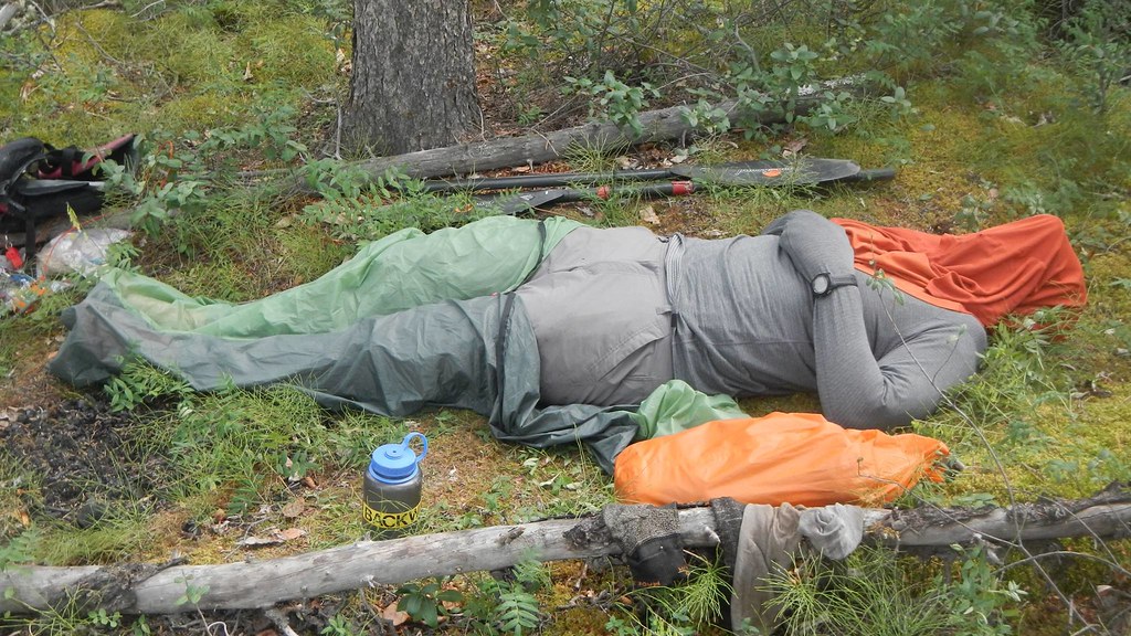
  • In the classic in 2023, I shared an MSR two-person tent with Peter D, and really liked it.  It was pretty light (~2lbs), and a “normal” style double-wall tent.  In the early summer, I noticed a good deal on old stock  3-person version on ebay.  I got it, and am super happy I did – it turned out to work great for two people and two dogs, and it was just over 3lbs.  I really like that tent! Alas, the current version is bit heavier, possibly thicker material and normal vs carbon poles, and their lighter 3-person tent is a fair bit smaller.  Highly recommended if you can find a NOS version of it. 
  • This is the first road-to-road loop I have done from the haul road that was purely hiking.  I was surprised how quickly I could get to someplace interesting from the road.   I need to do more of these, as it was logistically simple and fun!  I have of course done several road to road trips off the dalton, but nothing “loop” like, were the start and end were so close together. 
  • I brought a very light ti roll-up windscreen for our stove which rocked. 
  • I really wished I had brought a light binocular or monocular as there were lots of neat birds and I am sure the valleys hid a lot of animals.  
  • Molly made dried dinners for each night, and they were very good. I even liked the ones with tofu in them!
  • We saw:
    • Three bears
    • Two sheep
    • Lots of birds, including several pairs of merlins.
    • A porcupine
    • Six people
    • Lots and lots of small critters – ground squirels, voles, marmots, etc.


2017 Alaska Mountain Wilderness Classic – No Sleep ’til Wiseman!

Sunday, July 23rd, 2017

To preface this post, this page is now near the top of the hits from Google for searches for the Alaska Wilderness Classic, which makes me feel a bit bad about it. This writeup is just intended to convey my experience, and I didn’t approach the event all that competitively, and I am a bit of a nincompoop. Luc Mehl has a much better write up and Andrew Skurka has a very nice writeup on the 2009 race – I would start with those to get a better idea about the event, rather than starting here. -Jay

For years I have followed the Alaska Mountain Wilderness Classic, following the antics of Rocky R and Roman D, and later generations. I have wanted to do one for years, but alas, there was always some sort of conflict making so I couldn’t attend, or they seemed a bit too crazy. Finally last year the route switched to Galbraith to Wiseman, which is an area I am fairly familiar with (and shorter than some of the past routes!), and after sitting out last year due to conflicts, this year my friend Tom agreed to join me – yay!

We drove to Wiseman, spend the night camping on the lawn of the Arctic Getaway (great folks!), and the morning loaded up and drove to Galbraith. There were 14 folks and 7 teams doing the event, including another group from Fairbanks.

Alaska Summer Wilderness Classic
The Winning Edge
Alaska Summer Wilderness Classic
Lindsey and Ellen, team Giggle

Alaska Summer Wilderness Classic
Matt (I think)

Alaska Summer Wilderness Classic
Harlow in his bug proof ultra running attire

Alaska Summer Wilderness Classic
John (I think)

Alaska Summer Wilderness Classic

After a bit of futzing around and someone waving a flare gun around, it went off (fortunately pointed up and safely at the sky), and at around 12 we were off!

Alaska Summer Wilderness Classic

Our plan was to take the “direct” route over to the Hammond River, going over 4 passes, and floating the Hammond out to Wiseman.

Things started well, zooming along enjoying the fast walking..
Alaska Summer Wilderness Classic

Alaska Summer Wilderness Classic

Alaska Summer Wilderness Classic
photo compliments of Tom

Alaska Summer Wilderness Classic
photo compliments of Tom

Alaska Summer Wilderness Classic

Alas, when we reached the final pass, we couldn’t find a way over it, working from the west side to the east side. It ended in a small glacier which had a pretty shallow angel, but was a bit too steep for me to feel comfortable to walk on. Later I would find the Toby and Harlow walked straight up it.

Alaska Summer Wilderness Classic
Failing at route finding.. photo complements of Tom

It was pretty socked in, and the brief glimpses of the east side of the pass showed cliffs – so we turned around and headed back down to take the scenic route around the passes.

On the way down we bumped into Lindsey and Ellen on the their way up. We wished them luck with the pass. I was pretty sure they would find a way across, Tom was less certain. Later we were to find out they found a pretty straightforward up it on the east side.

We headed back down, and over to the Itkillik River, taking a pass over to an unnamed creek that lead to the creek. It was mostly uneventful though at 2am I got a bug stuck in my eye, and there was a few minutes of fussing before I got it and a ruined contact out of my eye in a comical bit of futzing.

Alaska Summer Wilderness Classic

Alaska Summer Wilderness Classic

Alaska Summer Wilderness Classic

We headed over to the divide between the North Fork the Koyukuk and the Itkillik, then headed down to the North Fork.

Alaska Summer Wilderness Classic
photo complements of Tom

Alaska Summer Wilderness Classic

There is a deep canyon were the north fork drops off the divide, and while I had been told it was possible to walk the canyon, we walked the benches above the river. Eventually we dropped down to the river, and followed the creek until it looked (safely!) floatable.
Alaska Summer Wilderness Classic

Alaska Summer Wilderness Classic

Alaska Summer Wilderness Classic
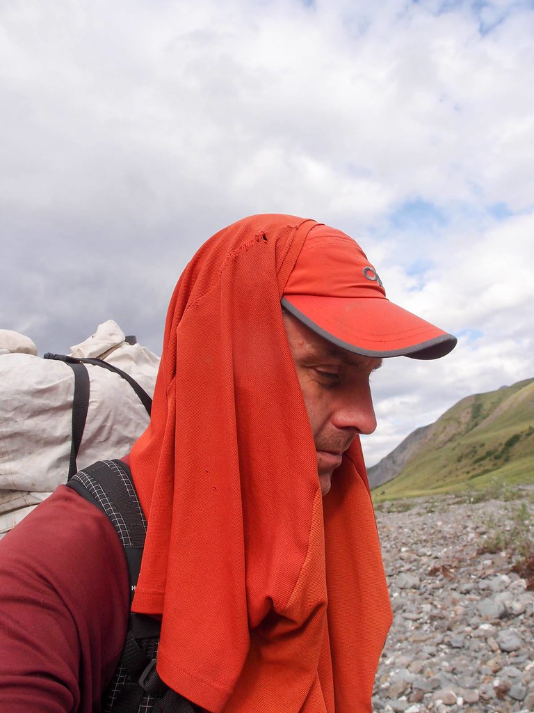
my styling head net replacement..

Alaska Summer Wilderness Classic

The north fork quickly turned floatable, and we put in, deciding to take the scenic route to Delay Pass and out the Nolan road to Wiseman.

The floating was fast and fun, eventually turning very fun, with lots of nice fun boulders and water features. Alas, Tom was having spray deck issues, and we ended up walking a few miles around Bombardment Creek, but soon we were back in the boats enjoying gliding along with minimal effort..

Alaska Summer Wilderness Classic

After a nap on a sandbar near mid night with a small fire, we pushed on to Delay Pass, where we took out, and grabbed another hour or so of sleep, then packed up and began the hike out.

Alaska Summer Wilderness Classic

Alaska Summer Wilderness Classic
Me, catching some sleep, and breaking the no-sleep-til-wiseman rule

Alaska Summer Wilderness Classic
signs of racers in the past..

Everyone says Delay Pass is miserable hiking, but I didn’t find much of it to be actually miserable, and while it was a bit of a slog, we made pretty good progress.

Alaska Summer Wilderness Classic

Alaska Summer Wilderness Classic

Alaska Summer Wilderness Classic

Alaska Summer Wilderness Classic

We cut off a fair bit of the winter trail by taking a ridge around the worst part. Climbing up the ridge kicked my butt, and my feet were starting to get a bit sore and waterlogged, and my achilles were starting to hurt, but otherwise everything was mostly fine. Once I loosened my shoes a bit my achilles were much happier.

Soon we were on the road out of Nolan, slowly shuffling down the road to Wiseman. These 6 miles took forever and were a bit hard on the feet..

Alaska Summer Wilderness Classic
two miles from Wiseman..

Alaska Summer Wilderness Classic

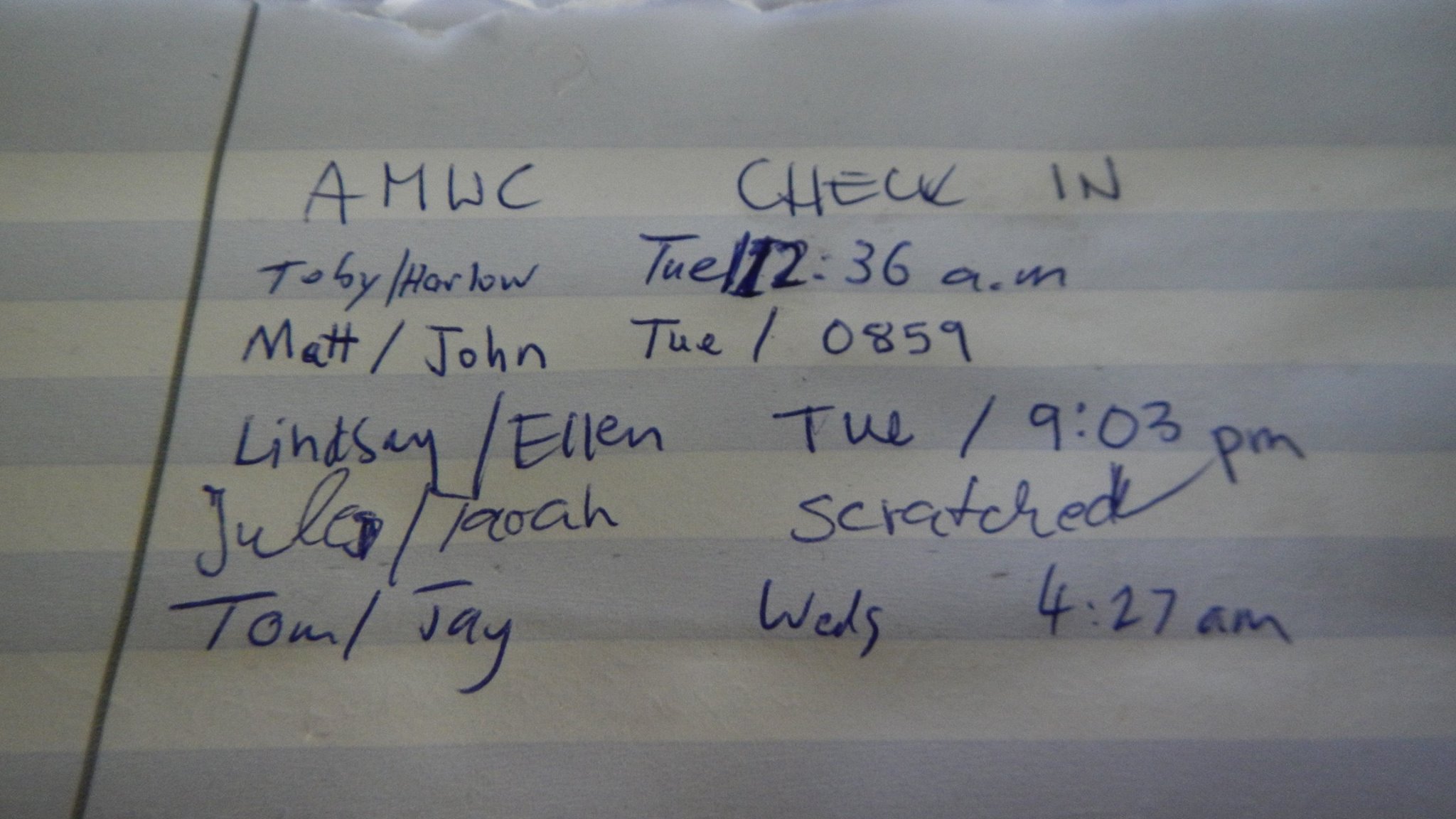
We finished Wednesday at 4:30am, 65 ish hours since the start.

It was a great experience, thanks for the company Tom, and thanks to the Hickers of the Arctic Getaway Cabins for hosting us!

I am already thinking about next year..

As a post scripts of sorts – folks often accuse me of saying things were “mellow” when they are not. This trip wasn’t mellow – but the walking was mostly good, and the floating really split things up so my body got a nice break, making for a relatively trauma free adventure. And of course, we got 4 ish hours of sleep, making things even nicer. The “harder” parts, and things I need to improve on would be to walk a bit faster, concentrate more on micro scale route finding (sticking to the bands of nice walking though the areas of not nice walking), and “staying the course” when the planned route appears to go bad, and finding a way to make it work. On the last point, I feel pretty disappointed with myself that we turned back at the first pass, assuming there was no way over, even though we knew at least one other party had gone over – Harlow’s footprints were pretty distinctive, and I saw the prints on the first climb up the pass, so I so I knew folks had made it over.

A second post script – here are some brief notes (to myself mainly) on things that worked or didn’t work:

  •  i used Gaia GPS for a bit of the navigation on this trip, and was amazed by how much easier to navigate with vs the garmin unit I normally use.  I should pre-cache satellite imagery for tricky bits, i expect that would help with navigation.
  • I brought a ultra lightweight bivy, and it was great for a little extra warmth and to keep the bugs off.
  • I pre-taped my forefoot and heels, and the tape lasted most of the trip, and I survived with only a few small blisters – success!
  • I had treated my shirt with Permethrin, and it worked great for keeping the bugs away.
  • The hmg backpack was awesome – worked great, comfortable, and light.  I wish it was made of something besides cuben fiber, as it already appears to be showing signs of wear, but I guess that is life.

A few things that worked less well:

  • My food choices could have used a bit more thought – i bought about 5 of the ominously named “Meal Pack Bars” – they are very calorie dense and pack well, but taste bad and are like eating dirt – dry and unrewarding.  Otherwise my food selection was fine, though perhaps more Snickers next time.
  • I brought a freeze dried meal, which I made before hiking delay pass – I should have brought two more, it went down great.
  • I was a bit unhappy with my footwear – montrail mountain masochist trail runners.  They are light and grippy, but need a stiffer rock plate for some of the walking – i bruised my feet a bit.  Otherwise they worked great – I just wish the forefront of these shoes were stiffer.  Otherwise they worked fine.   If anyone has recommendations I would love to hear them.  I would love to just use low top hiking shoes for these sort of trips, but alas I can’t find any that are not goretex.
  • I didn’t bring enough foot lube – I could have used a lot more after my feet dried out after the nap before delay pass.  Live and learn..
  • trekking poles would have made some of the hiking faster, and some of the stream crossings easier – next time I will bring them!
  • I really wish I had brought some sort of lightweight bug proof long sleeve top with a hood – it would have made the bug pressure a bit easier to deal with at times.
  • I suck at micro scale navigation – I need to work on finding those sections of nicer walking in sections of bad walking.  Mostly I think it just requires me to be more aware of where I am going – something to work on.

The route:

Summer of 2018 update
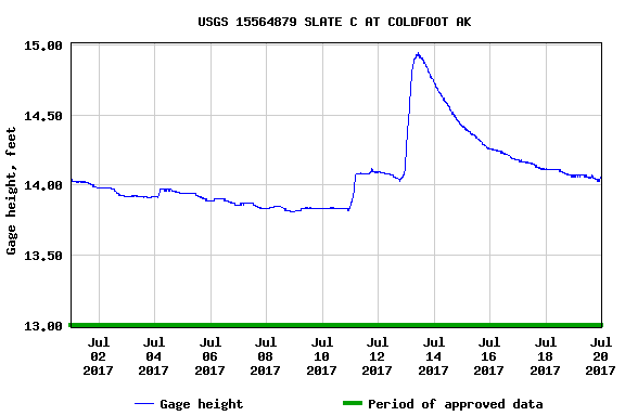
The 2018 version of this is just around the corner, and I was digging around for info on the water levels when we did it in 2017. Alas, I didn’t save the info (curses!), but
The Slate Creek Gauge looked like this:

The current state of the gauge is: Slate Creek
For some reason I cannot find historical data on the river gauge at Bettles, but the current info can be found here: Koyukuk at Bettles

Anaktuvuk to Nolan..

Monday, August 20th, 2012

Several years ago Ms Marsh, Tom, and I did a wonderful trip out that started at the village of Anaktuvuk Pass, and headed down the John River. I had been thinking for a while about getting back in that neighborhood, and eventually the chance came. This time the plan was to head east out of Anaktuvuk, up the Anaktuvuk River, over to Ernie Pass and down Ernie Creek to the North Fork of the Koyokuk, and out to Nolan via Delay Pass. It looked like a fantastic route, and I was pumped to be back in that area! Folks with A.D.D. or are otherwise reading challenged can see a video highlight real here.

We arrived at Anaktuvuk, and after wandering around for a bit, and checking in on a friend of Ms Marsh’s, headed out of town.

We caught a ARGO trail leading to the Anaktuvuk River, and started hiking. The walking out of Anaktuvuk was wonderful, with great views, and we made good time, even with lots of stops to check out the sights.

I had a blast looking around for signs of how the locals use this area, exploring the antler piles, the hunting blinds, and the fire rings.

We camped the first night where a small stream dumped into the Anaktuvik River, and in the evening explored the canyon where the stream came from.

The next day we hiked up to Ernie Pass, and over the continental divide, following Ernie Creek.

Just before the divide we found an old broken up snow machine sled.

It’s hard to imagine what it would be like here in mid winter – probably amazingly cold and windy, with no cover. Right on the divide we were surprised to find a beach ball with a zip lock bag of maps and notes held down by a rock.

After we got back into town we discovered it was package airdropped for a swiss scouting club that was never retrieved.. It was a small package, but a bit of a bummer it was left behind… litter being what it is. Once over the pass we followed Ernie Creek down.

The canyon Ernie Creek flows through is surprisingly deep, so we stayed high up on the ridge.

We had hopes of floating Ernie Creek, but ended up just walking, as it didn’t have a lot of water in it, and the gradient was fairly steep. It would have been possible, but there would have been some dragging and a bit more excitement than were looking for at the moment. In a couple of spots it looked pretty hairy, with lots of large rocks with tight places. The walking was pretty fantastic, so we didn’t mind much.

The views were top notch, as Ernie Creek winds down between the peaks.

Eventually we reached the North Fork of the Koyokuk, and hopped into the boats.

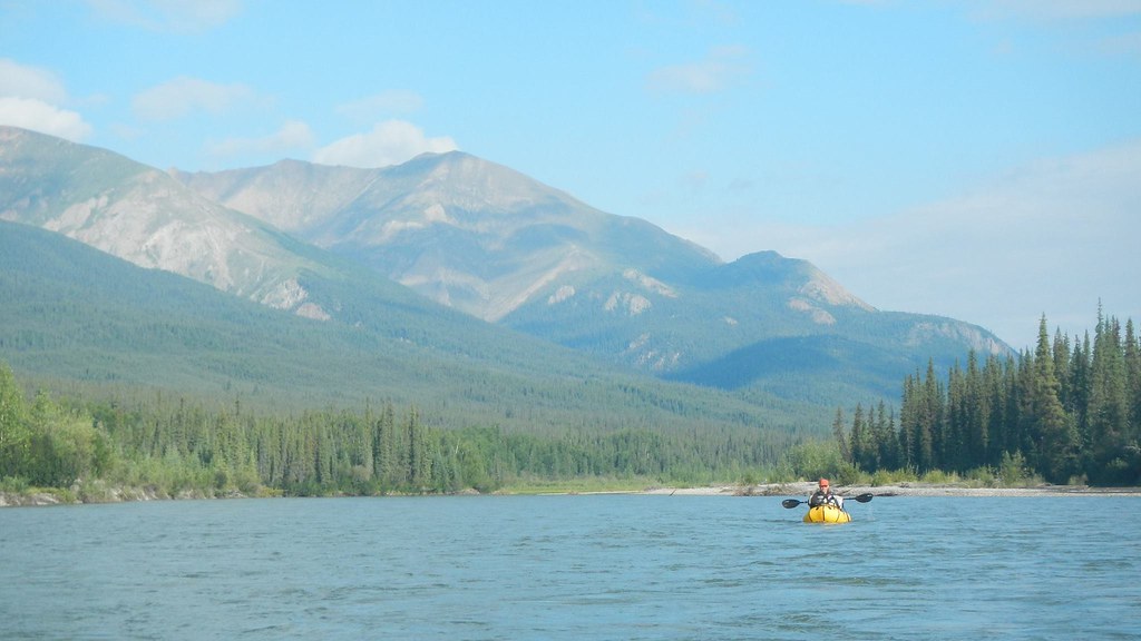
The floating was pretty nice, though there was a fair bit of wood dodging required initially. Eventually we reached the confluence with Ernie Creek, and the water volume went up a lot, and the wood dropped off.

The area was amazingly scenic, as we floated down between the gates of the arctic, Boreal Mountain and Frigid Crags.

In the middle of the day, as we rounded a corner we started to smell smoke, and then bumped into a couple with an Ally Pack canoe camped on shore. We talked to them for a moment as the current carried us by, surprised to see anyone. Later in the day we bumped into them again, and it turns out they had emailed me the previous summer looking for advice on trips in the arctic. They are were up from Tennessee, spending part of the summer exploring Alaska, and were floating down to Bettles. It seemed like they were having a great time.
It is a very small world.. We saw them several other times that day, before they called it a day and camped. We only encountered one rapid of any note on the North Fork near Cladonia Creek. We scouted it, but it was fairly mellow and easy to navigate. We spent several days on the Koyokuk, enjoying the fast moving water and nice weather. The second day we camped on the confluence of the Tinayguk River. Tom and I messed around looking for cultural artifacts – I had been told there was the remains of a cabin near the confluence, but we didn’t find any. We did see lots of animals though, and were given quite a shock when a large owl swooped overhead while we smashed though the brush. Tom also spent some time sorting and counting his snacks, and was happy that he was not going to starve to death.

The final day on the river we floated until about mid morning, then took out and started hiking inland, planning on hitting the winter trail to Nolan.

Most of the hiking was pretty good, though there was some tussock hammering.

Eventually we reached Glacier Creek, where we crossed and started walking upstream. We started seeing more signs of civilization..

We ended up camping near an old abandoned runway. It was a beautiful calm night, and very peaceful. Alas, in the middle of the night we were hit by a massive wind gust that flattened both our tents, followed by a heavy downpour. I ended up having to get out and re-stake the tent while getting dumped on – all my own fault for not setting up my tent with firmer anchors. The next day it rained on and off, as we hiked up the stream, and over to Nolan on the winter trail.

The hiking was a mix of wonderful walking, and huge tussocks with waist deep holes around them – less than wonderful hiking. We eventually left the winter trail where it crossed a massive tussock field and headed up a ridge, leading to some wonderful hiking, and we managed to skirt most of the rest of the tussock fields.

A few more miles wet walking on the winter trail and we arrived at Tom’s car, parked near Nolan, where we gleefully dove into the bags of snacks and clean (and dry!) clothing.

Soon we were zooming back to Fairbanks, enjoying the heat and dryness of the car after a long wet day in the rain. Thanks to Tom and Ms Marsh for a wonderful trip, and of course a huge thank you to Nancy and the twins for allowing me the time. It was great fun, and a fantastic adventure!

Anaktuvuk Pass to Nolan, Fall 2012. from JayC on Vimeo.

(For the full HD monstrosity click here. )

Maps and more photos can be found here: