Posts Tagged ‘wiseman’

Alaska Summer Wilderness Classic 2018

Saturday, August 18th, 2018

To preface this post, when I wrote last year’s write up, it showed up as one of the top of the hits from Google for searches for the Alaska Wilderness Classic, which makes me feel a bit bad about it. This write up is just intended to convey my experience. I didn’t approach the event all that competitively, and I am a bit of an idiot (or a really big one if you believe my daughters) . Luc Mehl has a much better write up and Andrew Skurka has a very nice writeup on the 2009 race – I would start with those to get a better understanding of the event, rather than starting here.  -Jay

Last year’s Wilderness Classic was an awesome experence for me. It had a lot of the fun of the Iditarod Trail Invitational (ITI) without being really cold, and it got me out to see an area that was new to me. Alas, we bailed at the first pass, and took a less optimal route that was way longer than what most of the rest of the folks did. This year I really wanted to stick to the original route, copied from Luc Mehl’s write up from 2016. I mapped out two other options around glaciers in the high passes that could be issues, but otherwise the plan was to stick to Luc’s route. I was a bit worried that Tom was going to be too busy to join me, but he was free and game, so it was on!

Late morning Saturday Tom and I headed out of town, joined by Nick from California, and drove up to Wiseman. Alas, the forecast was not hot and it rained on and off for most of the drive. We arrived in at the Arctic Getaway B&B in Wiseman, excited to see that Greg Mills was also there, so apparently the fun was going to happen — hurrah!

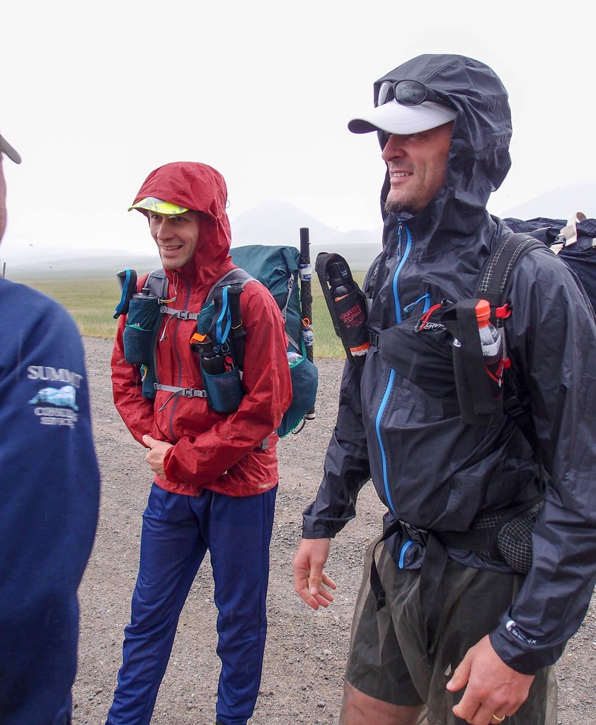
Eventually folks started arriving, and we soon had a group of 13. The group consisted of two Nicks (one from Anchorage, the other from San Francisco, California), two Jays (me, and a Jay from Anchorage – yay another Jay!), Greg, Matt, Kevin, Ken, Adam, Steph, and two 17-year-olds, Bremner and Leo. After a nice dinner (thanks Burni and Uta! ), we hit the sack on the lawn of the Arctic Getaway, and in the morning shuttled out to Galbraith Lake. And then we were off!


WC 2018 from JayC on Vimeo.

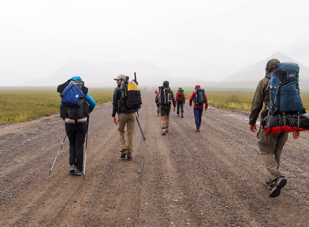
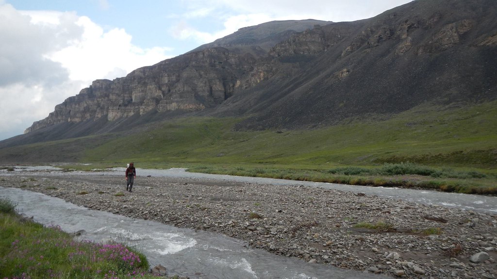
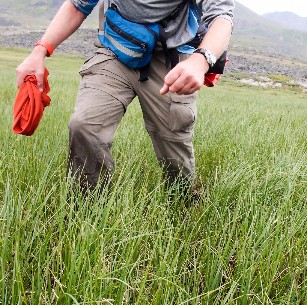
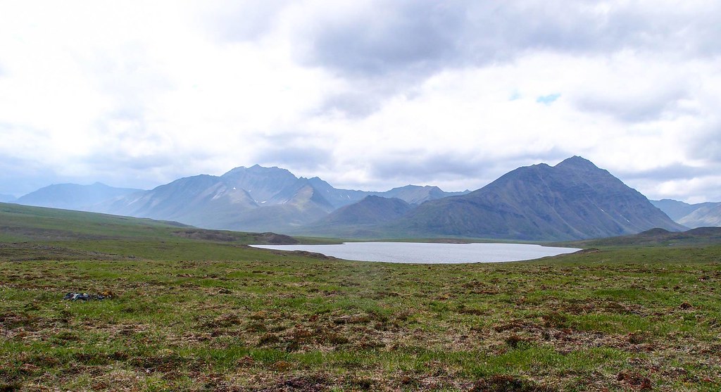
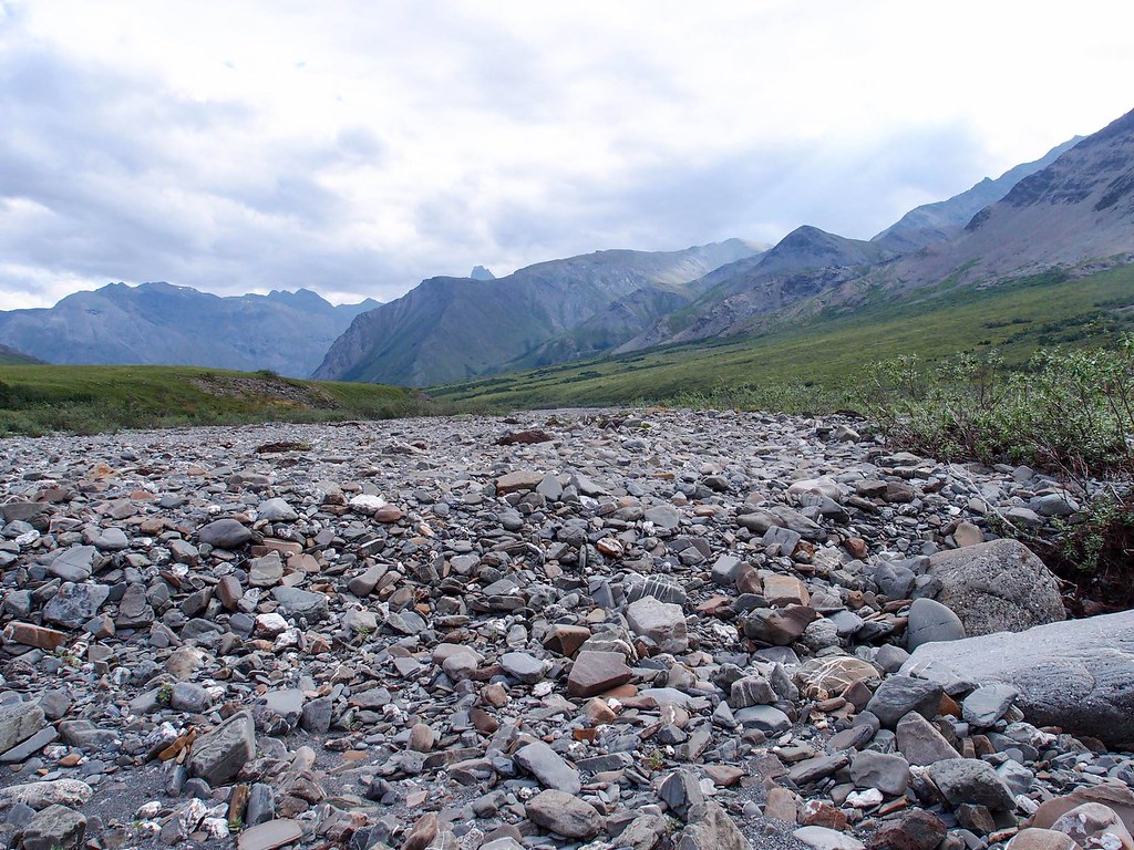
For the first few hours we were back and forth with a few of the other folks. Much like last year, the walking was great to the first pass.
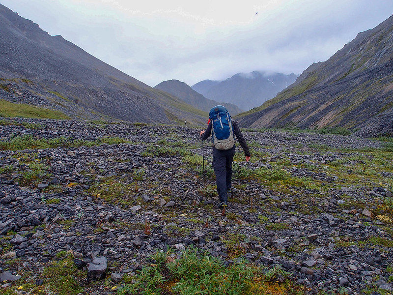

AWMC 2018

We bounced around a bit with a few other folks, including Matt and Kevin from Anchorage, and Nick from California. Jay and Nick from Anchorage were doing the entire route on foot without a boat and were (barely) in sight until the first pass.
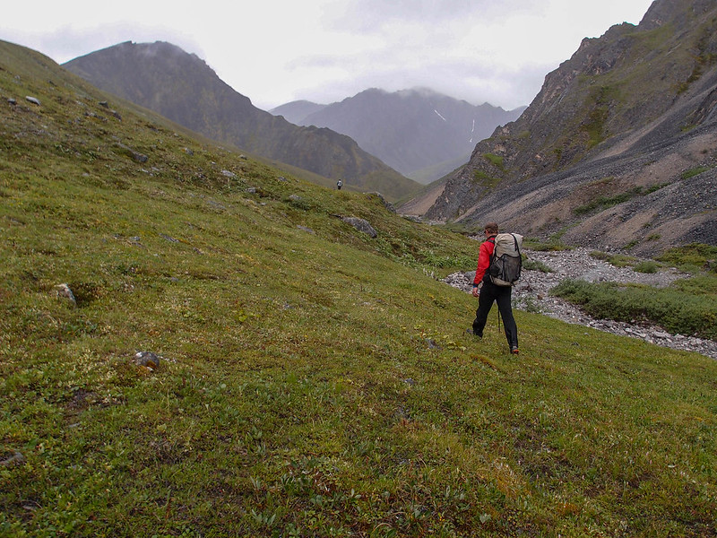
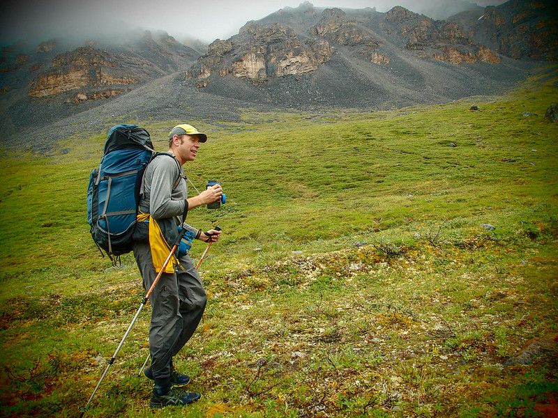
AWMC 2018


AWMC 2018

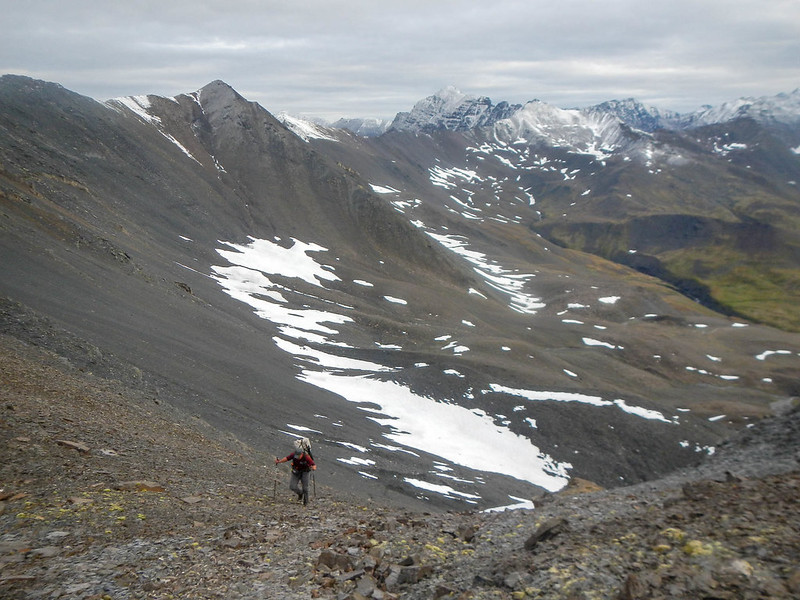
At the first pass we took a different route around the glacier that stymied us last year, and while it was work getting up, the walk down to the Atigun River valley was fast.
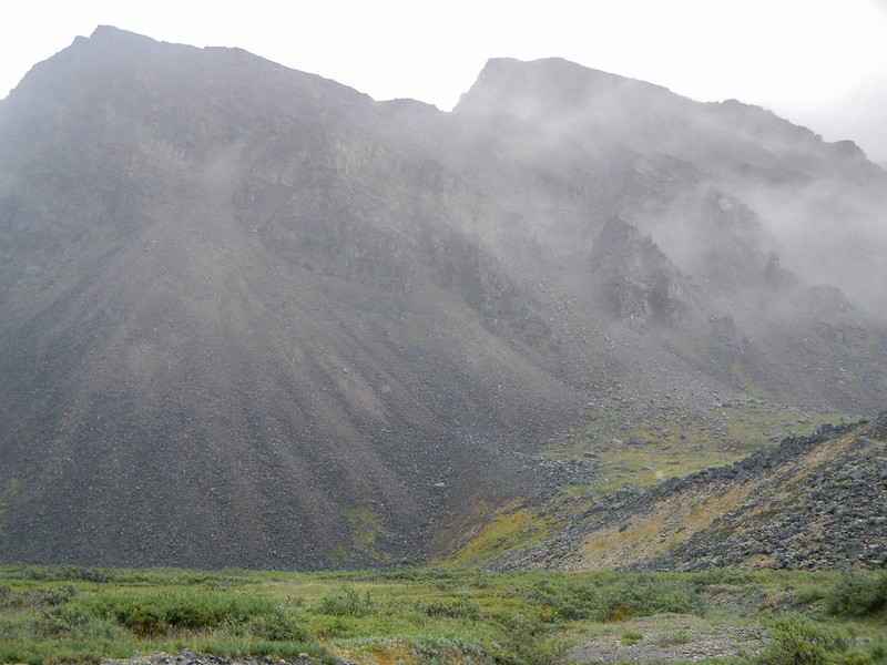

WC2018 - Tom's
Photo compliments of Tom.

After the first pass we didn’t see anyone else until we finished at Wiseman.
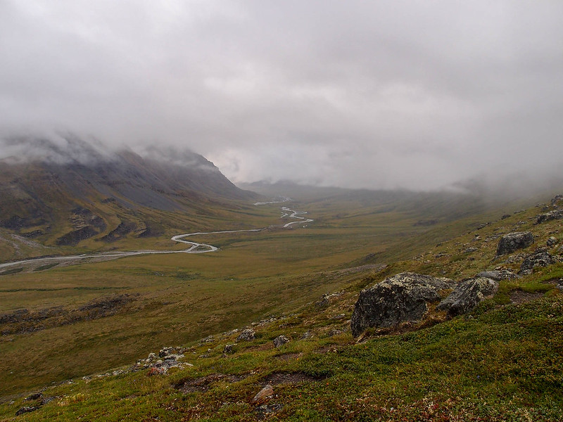

AWMC 2018

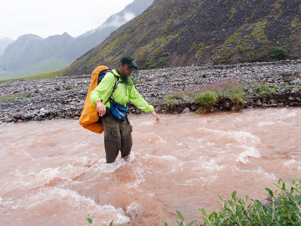
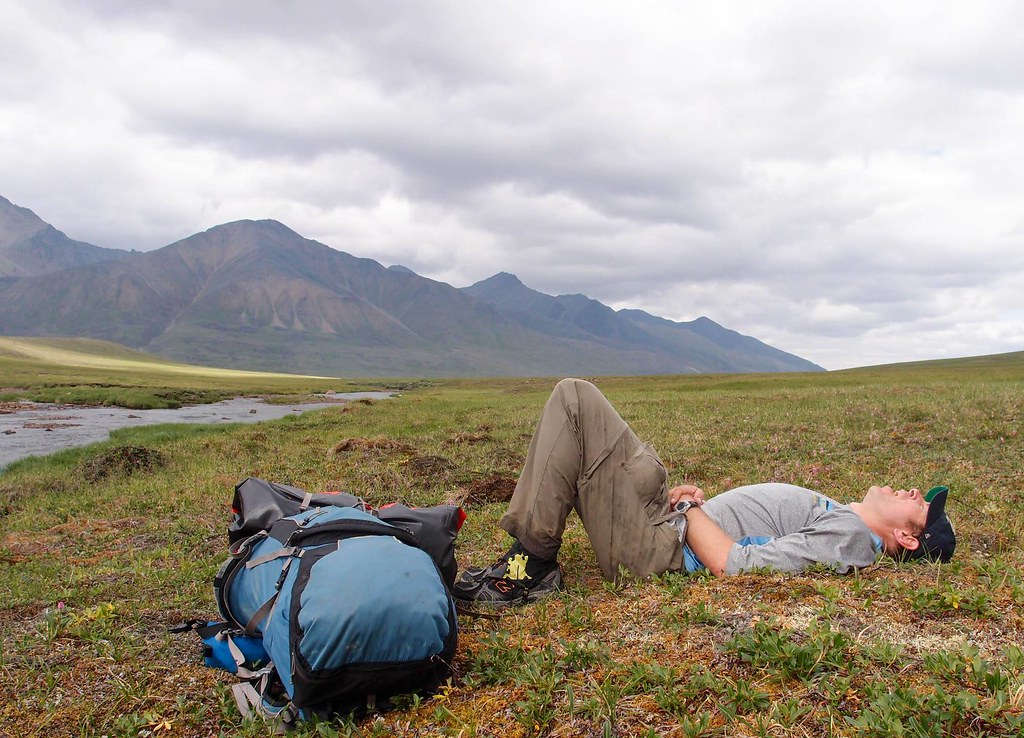
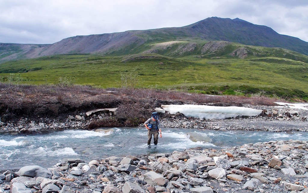
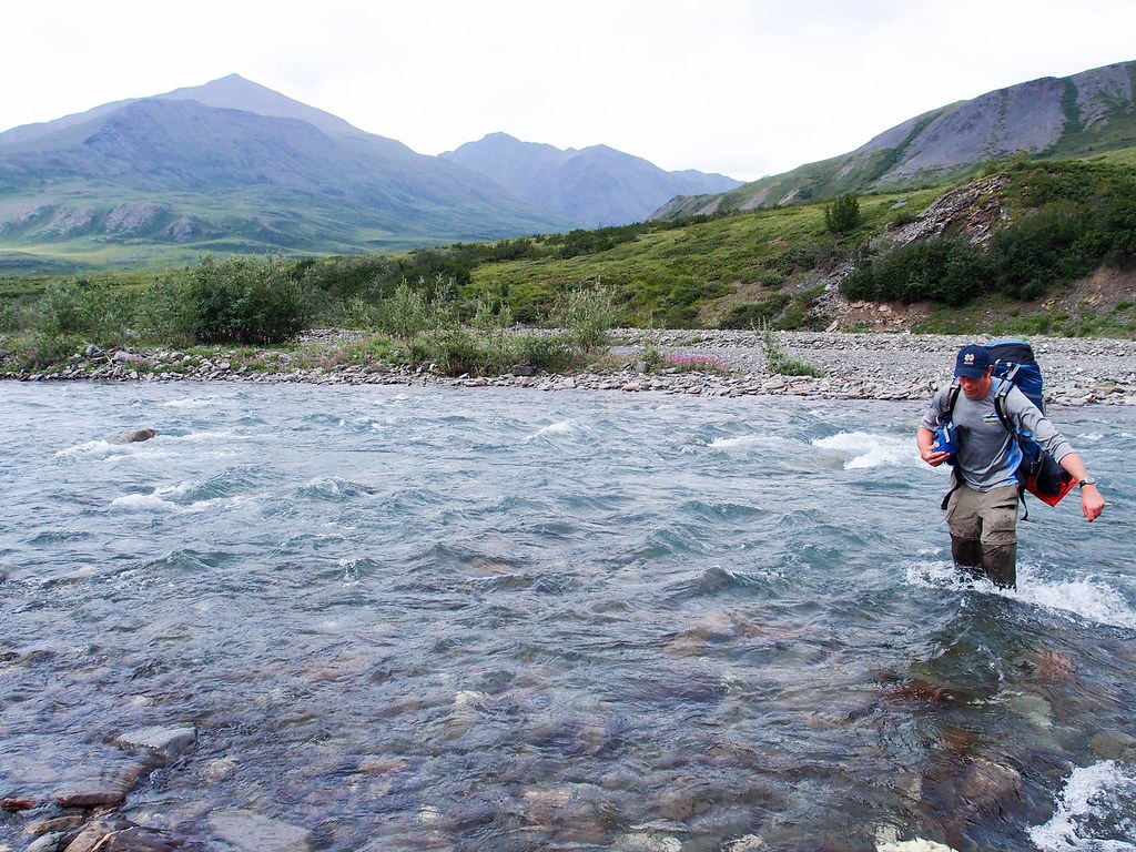
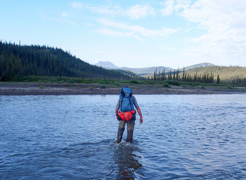
Alas, the Atigun River had a lot of water in it, and we had trouble crossing it until we were most of the way up into its headwaters, making for some less than awesome hiking. It was reasonably fast though, and we made pretty good time.

On the Atigun River we saw footprints, which I assumed were from California Nick as there appeared to be only one set. Anchorage Nick and Anchorage Jay were supposed to be ahead of us, but I (wrongly) assumed that since there was only one set of tracks it must be California Nick, the only person traveling alone near us, and concluded he was ahead of us. Later we were to learn that Anchorage Nick and Anchorage Jay had very similar shoes, and the tracks were from them. Anchorage Nick joked later that they “walked in each other’s tracks” to confuse us. They had a very ambitious route planned, going over several large passes that then took a ridge near Oolah Pass over to the Wiseman area.

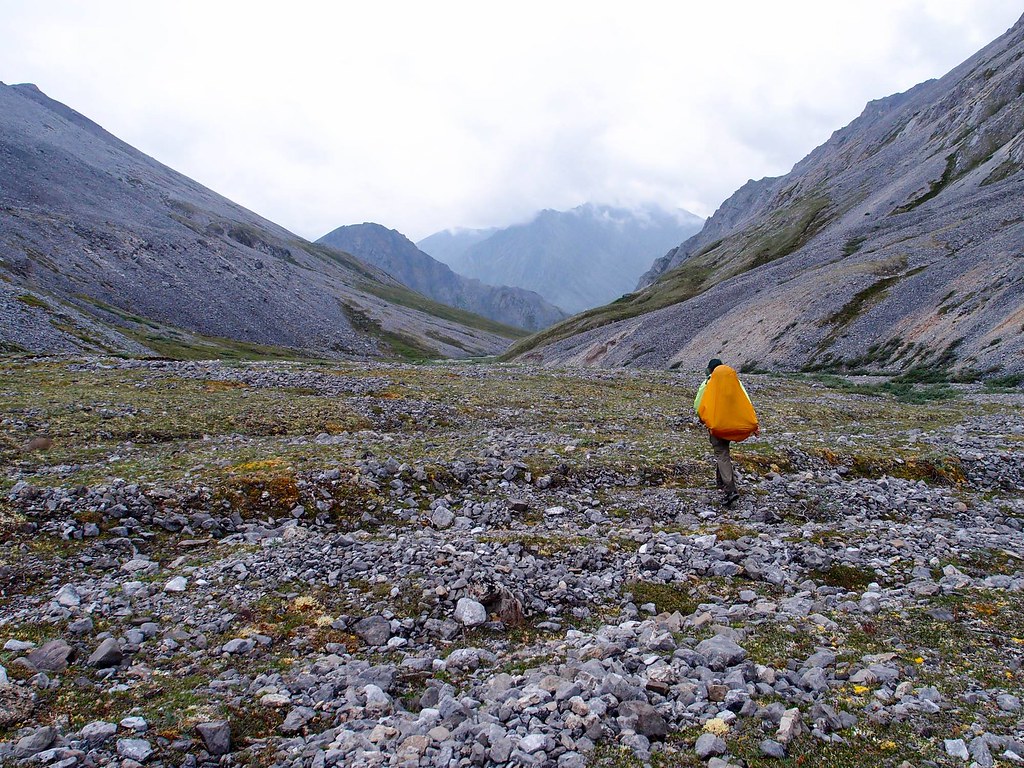
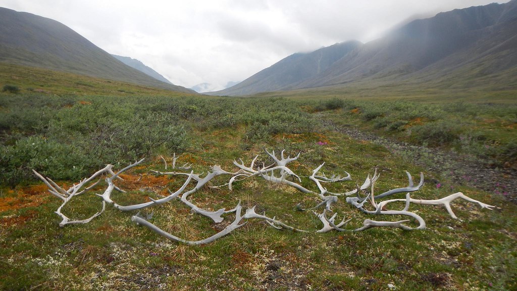
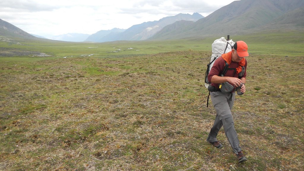
We climbed the next pass early in the morning in a bank of fog, and we came out of it into a beautiful valley, only to have to slog up to another pass, with steep slippery scree.
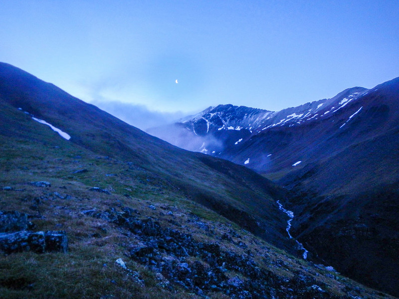

WC2018 - Tom's
Photo compliments of Tom.

Alas, my camera’s battery died at this point, and I was too lazy to find the replacement battery in my pack, so I didn’t take any more photos for the rest of the trip.

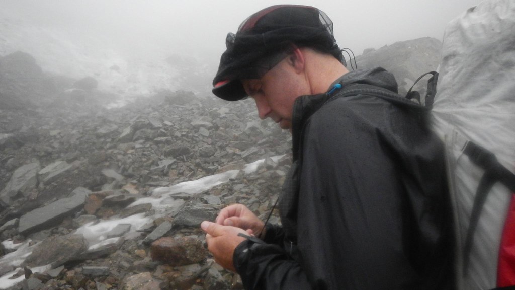
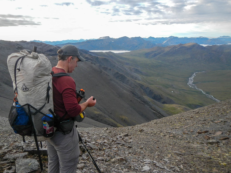
The third pass had an icy glaze that covered all the rocks, making it really hard to get a grip on anything. Initially I thought I had mud on the bottoms of my shoes that I somehow couldn’t get off – alas, it was just a layer of ice. I assume that overnight, warm wet air blew through, leaving a layer of moisture which froze on the rocks. Fortunately, the sun was soon out, and it warmed up enough that the rocks lost their slippery coating. The climb up to the top of the third pass was slow going, with lots of loose shale scree.
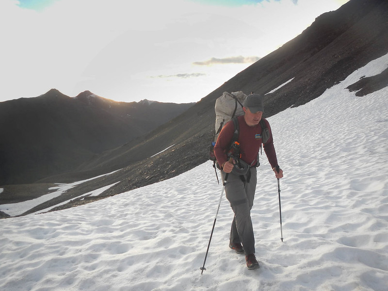

WC2018 - Tom's
Photo compliments of Tom.
WC2018 - Tom's
Photo compliments of Tom.

Once we were over the top it was a long glide down to Kuyuktuvuk Creek valley.

WC2018 - Tom's
Photo compliments of Tom.

Kuyuktuvuk Creek was pumping, and our hopes of fast gravel bar walking were soon dashed by little cliffs and bluffs on the creeks banks. We ended up walking the benches above the creek, which were a bit brushy, but fortunately we were able to follow game trails (some good, some bad) for most of it. The creek looked like it would be fun packrafting, but perhaps a bit on the bouncy side, with big rocks and rock walls. We considered floating it, but the idea of floating a fast creek (it looked like it dropped around 150ft a mile, so a bit steep) while sleep deprived and without any beta seemed not quite worth it. Later we learned Nick from CA floated it, flipped, and swam, losing his boat and gear and ended up having to walk out to the Dalton Highway.

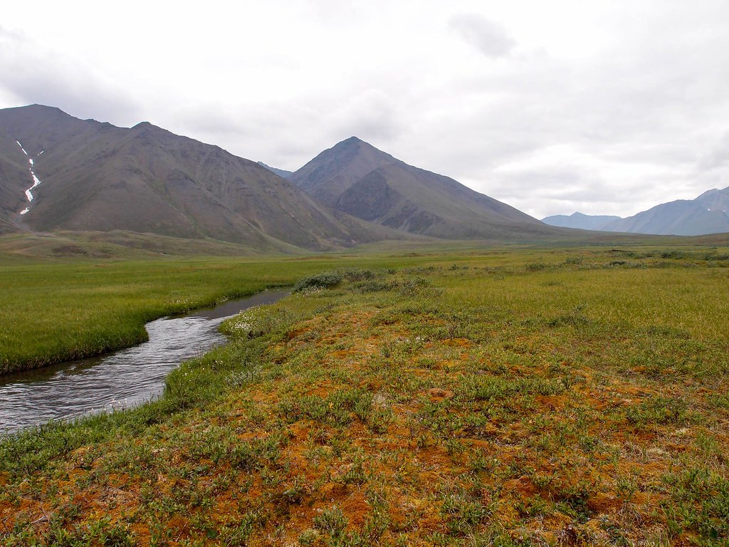
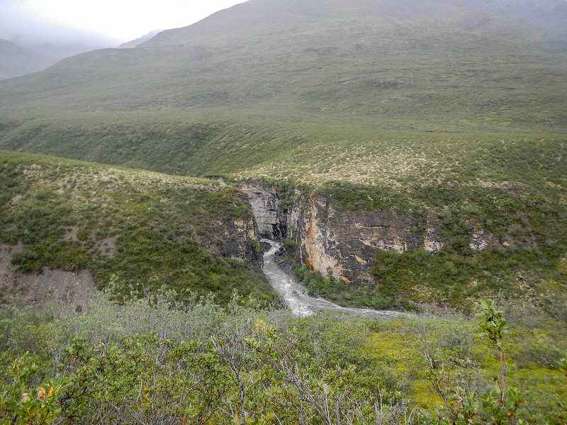
We turned off on an unnamed creek to hike over a lowish pass to Blarney Creek. The unnamed creek had a lot of water in it, and we crossed at the only spot we could find that looked passible. The creek was beautiful, with a wonderful waterfall emerging between two Lord of the Rings looking giant rocks.

WC2018 - Tom's
Photo compliments of Tom.

The hike up and over the pass was fast, and soon we were heading down Blarney Creek. We stayed up high on a bench on the right hand of the creek, worried we would get cliffed out, but eventually walked in the creek — only to get cliffed out. We had to climb up out of the creek, where we immediately found some awesome game trails. Alas, soon after that we encountered a bear trail — in some places bears walk so frequently on a trail they leave offset depressions. I have only seen these once before in the Brooks, but they are pretty common in Southeast Alaska where I grew up. I immediately went on full bear alert, and soon after that we saw a mid-sized dark colored brown bear on the other side of the creek. We then cut away and hiked directly over to the Hammond, where we inflated the boats and hopped in. Hurrah – the walking was over!

We floated until around 1:30 am or thereabouts, when it got a bit too dark for floating, then pulled over and made a fire. The fire wasn’t as big as I would have liked, but it was warm, and Tom and I got a bit of napping in while waiting for the sun to come back up. Eventually it got light enough to float again, and we were back to floating. Alas, the temperature had dropped a lot overnight, and it was cold enough that I had frost on the deck of the boat.

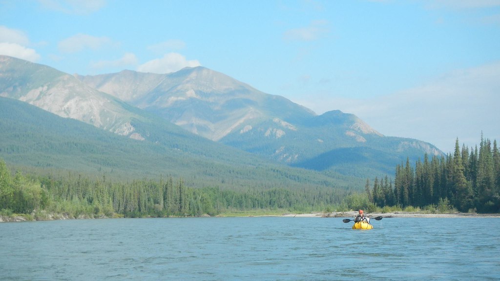
Fortunately the sun eventually hit the river, and mid morning we pulled over for a short nap in the sun, then floated down to the canyon. I was a bit worried about the “falls”, a rock slide in the canyon that isn’t runnable — at least in packrafts. A bit to my surprise there was some large rocks in the creek that created some bouncy rapids that were a bit more spicy than I expected, but fun. The canyon itself was pretty mellow, with beautiful rock walls and very slow current. The waterfall ended up being a narrow pinch with a shoot of water flowing between it onto a pile of rocks. It was possibly runnable in a kayak if one could get out beyond the pile of rocks, but who knows — I don’t kayak. Tom and I ended up deflating and portaging on river right, then inflating and floating the last 10 miles or so into Wiseman.

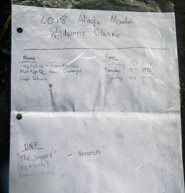
When we arrived at Wiseman we were greeted by both Nicks, Anchorage Jay, and the Hickers (Uta, Berni, and Julia ). Our total time was around 50 hours. The evening was spent waiting for other folks to come in, and eating a wonderful dinner compliments of the Hickers — thanks! In afternoon Matt and Kevin came in, and near midnight Steph came in. When we left Wiseman Bremer, Leo, and Greg were traveling together, and about to start floating the Hammond. California Nick, as mentioned, lost his boat and gear, and had hiked out to the Dalton Highway to be picked up. Anchorage Nick and Anchorage Jay had bailed near Oolah Pass, and had also hiked out to the Dalton to be picked up. Ken and Adam turned around on Atigun Creek and floated back to the road.

California Nick had a bit of a adventure – losing his boat and gear, but still made it out without (too) much drama – major kudos to him for pulling that off. His mishap made me think a bit about what gear I will keep on my person in the future – I think I might start carrying a lot more stuff on my person in case I lose my boat (and gear) like he did.

Bremner and Leo are I think 17, which makes them some of the youngest finishers of the ASWC. Wikipedia says Cody Dial did the 2004 Eureka to Talkeetna course when he was 17, so that is a select group. Congrats to Leo and Bremner for pulling it off, I am not sure I could have it at that age!

I would like to thank Tom for his company. You are a great adventure partner, Tom; thanks for joining me on this adventure! I would also like to give the Hickers a huge thank you for the awesome hosting. You guys rock. And of course thanks to my family for letting me disappear for a few days.

Alas, this is the last year of this route. Hopefully next year the course will be as awesome!

Things I need to do better:

  • Keep a full set of survival gear and communications stuff on my person. I kept some gear on my body, but I didn’t keep my Inreach or other critical items on me. If I had lost my boat like California Nick did, I would have been in trouble.
  • Use something besides a bivy, perhaps a tarp. I tried a very light bivy and it worked in light rain, but there was a brief spell of hard rain when I was trying to get an hour of sleep and it leaked. Some other option so I can get a few hours of sleep would be a good idea.
  • I need to bring a “real” camera, or a tiny camera that doesn’t suck. I took an older camera (an Olympus-zx1), which normally works great, but the battery died almost immediately. I should have taken my mirrorless camera with the nice lens; it would have worked better, and I would have taken better photos.
  • I need some sort of mount for the little Go-Pro (that doesn’t make me look like a bro getting ready to huck off a building – in other words looking like an idiot). I just carried it in my hand, and that was a bit of a pain — or in my mouth, which was more of a pain.
  • The HMG pack – I am still a bit meh about the HMG pack. It is light, but it is a bit short of perfect, regardless of how much other folks seem to love theirs. The side pockets suck, and it is hard to get a water bottle out of them with the pack on.
  • My pack was too heavy. I should pare it down a bit. Other folks seemed to be in the mid 20s, I was almost 30 lbs. I think I could cut it down a bit, and I finished with a fair bit of food.
  • My food selection could use some work. I took too many protein bars, and not enough cheese. I took out a ⅔ of a pound brick of Gouda, but left in ⅓ of a pound of Wensleydale. The Wensleydale was great, but I should have packed a brick of smoked Cheddar as well. I also should have added in some dry crackers, perhaps pilot bread.
  • As always, I need to be in much better shape. If I was 20 lbs lighter those hills would be a lot easier.

Things that worked well:

  • This spring I purchased a new packraft meaning to get the zipper in the body to store gear. That system works great, and I can stuff my whole pack in there, which is great. I used a big bow bag to keep everything I needed accessible, and that also worked well.
  • The shoes: I really like the old Montrail Mountain Masochist trail runners. I used a brand new set for this race, which I had never worn before, and didn’t have any blisters — hurrah! Alas, this is my last set; I don’t know what I will do once these wear out.
  • I packed two freeze-dried meals, which were awesome, and fast to make.
  • Leukotape: I pre-taped one foot with Leukotape and the other with some other brand of tape recommended for feet. The Leukotape lasted the entire race, while the other stuff fell off half way. I am not sure if the taping helped or not, but I didn’t get any blisters.

On the route:
I am not sure that this route is much faster than the option going over to the Oolah Valley, across to the North Fork of the Koyukuk, and though Kinnorutin Pass to the Hammond. I think that route is slightly longer (7-10 miles), but a lot flatter, and it has pretty good walking.
Besides all the climbing (and there was lots of climbing!), the route was pretty awesome. It would make a good trip, though having all the packrafting at the end might be a bit of a bummer.

Stats for the route, minus most of the float:
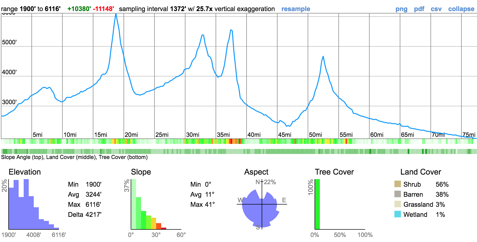
I will probably update this post with details as I remember them.

WC2018 - Tom's
Photo compliments of Tom.

Our route:
2017 Alaska Mountain Wilderness Classic – No Sleep ’til Wiseman!

Sunday, July 23rd, 2017

To preface this post, this page is now near the top of the hits from Google for searches for the Alaska Wilderness Classic, which makes me feel a bit bad about it. This writeup is just intended to convey my experience, and I didn’t approach the event all that competitively, and I am a bit of a nincompoop. Luc Mehl has a much better write up and Andrew Skurka has a very nice writeup on the 2009 race – I would start with those to get a better idea about the event, rather than starting here. -Jay

For years I have followed the Alaska Mountain Wilderness Classic, following the antics of Rocky R and Roman D, and later generations. I have wanted to do one for years, but alas, there was always some sort of conflict making so I couldn’t attend, or they seemed a bit too crazy. Finally last year the route switched to Galbraith to Wiseman, which is an area I am fairly familiar with (and shorter than some of the past routes!), and after sitting out last year due to conflicts, this year my friend Tom agreed to join me – yay!

We drove to Wiseman, spend the night camping on the lawn of the Arctic Getaway (great folks!), and the morning loaded up and drove to Galbraith. There were 14 folks and 7 teams doing the event, including another group from Fairbanks.

Alaska Summer Wilderness Classic
The Winning Edge
Alaska Summer Wilderness Classic
Lindsey and Ellen, team Giggle

Alaska Summer Wilderness Classic
Matt (I think)

Alaska Summer Wilderness Classic
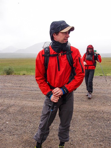
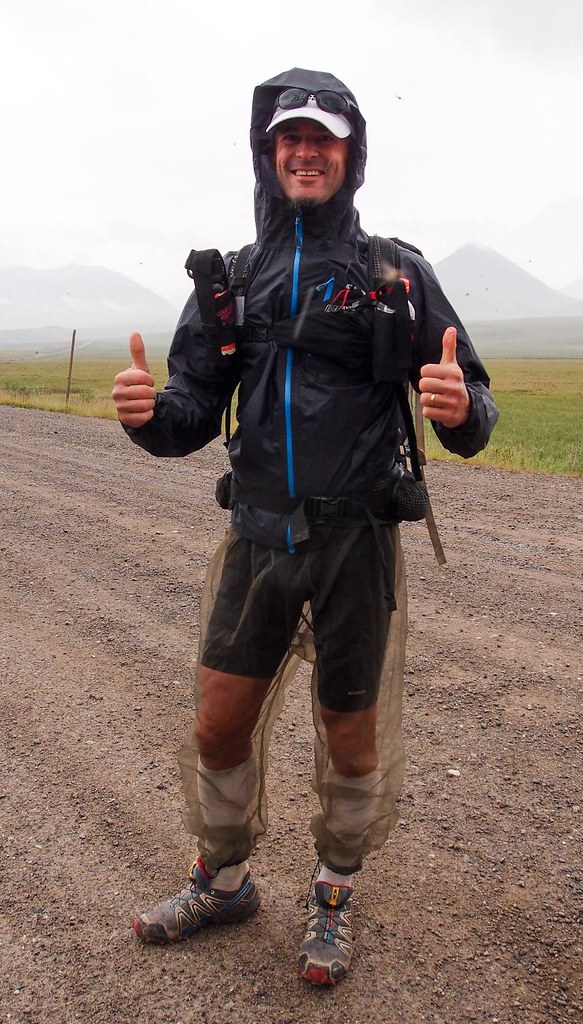
Harlow in his bug proof ultra running attire

Alaska Summer Wilderness Classic
John (I think)

Alaska Summer Wilderness Classic

After a bit of futzing around and someone waving a flare gun around, it went off (fortunately pointed up and safely at the sky), and at around 12 we were off!

Alaska Summer Wilderness Classic

Our plan was to take the “direct” route over to the Hammond River, going over 4 passes, and floating the Hammond out to Wiseman.

Things started well, zooming along enjoying the fast walking..
Alaska Summer Wilderness Classic

Alaska Summer Wilderness Classic

Alaska Summer Wilderness Classic
photo compliments of Tom

Alaska Summer Wilderness Classic
photo compliments of Tom

Alaska Summer Wilderness Classic

Alas, when we reached the final pass, we couldn’t find a way over it, working from the west side to the east side. It ended in a small glacier which had a pretty shallow angel, but was a bit too steep for me to feel comfortable to walk on. Later I would find the Toby and Harlow walked straight up it.

Alaska Summer Wilderness Classic
Failing at route finding.. photo complements of Tom

It was pretty socked in, and the brief glimpses of the east side of the pass showed cliffs – so we turned around and headed back down to take the scenic route around the passes.

On the way down we bumped into Lindsey and Ellen on the their way up. We wished them luck with the pass. I was pretty sure they would find a way across, Tom was less certain. Later we were to find out they found a pretty straightforward up it on the east side.

We headed back down, and over to the Itkillik River, taking a pass over to an unnamed creek that lead to the creek. It was mostly uneventful though at 2am I got a bug stuck in my eye, and there was a few minutes of fussing before I got it and a ruined contact out of my eye in a comical bit of futzing.

Alaska Summer Wilderness Classic

Alaska Summer Wilderness Classic

Alaska Summer Wilderness Classic

We headed over to the divide between the North Fork the Koyukuk and the Itkillik, then headed down to the North Fork.

Alaska Summer Wilderness Classic
photo complements of Tom

Alaska Summer Wilderness Classic

There is a deep canyon were the north fork drops off the divide, and while I had been told it was possible to walk the canyon, we walked the benches above the river. Eventually we dropped down to the river, and followed the creek until it looked (safely!) floatable.
Alaska Summer Wilderness Classic

Alaska Summer Wilderness Classic

Alaska Summer Wilderness Classic
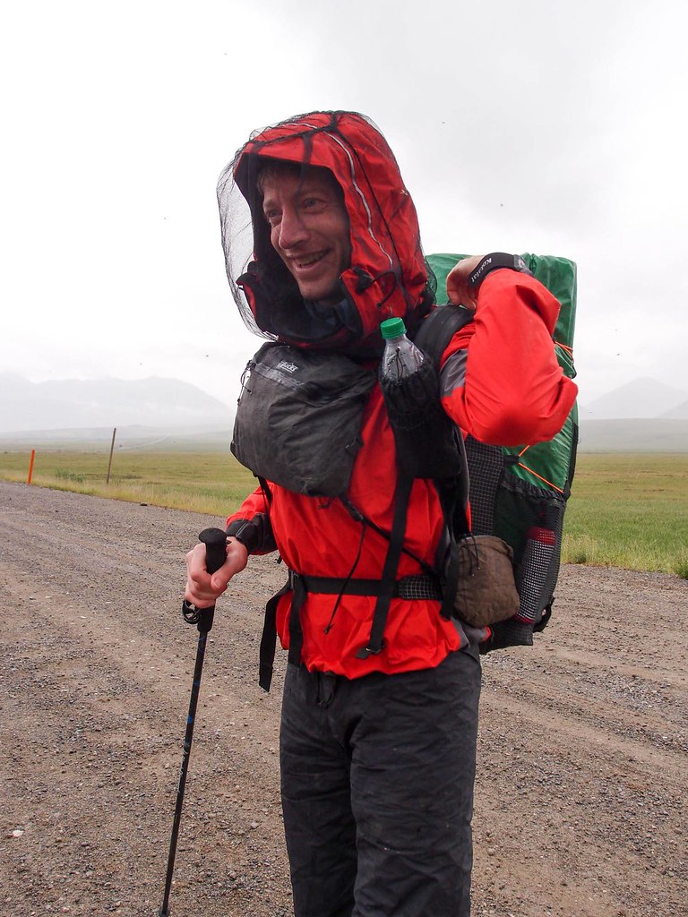
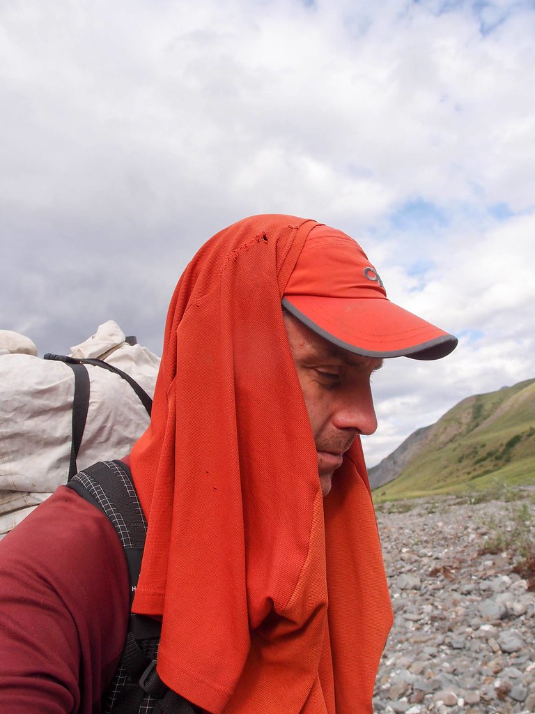
my styling head net replacement..

Alaska Summer Wilderness Classic

The north fork quickly turned floatable, and we put in, deciding to take the scenic route to Delay Pass and out the Nolan road to Wiseman.

The floating was fast and fun, eventually turning very fun, with lots of nice fun boulders and water features. Alas, Tom was having spray deck issues, and we ended up walking a few miles around Bombardment Creek, but soon we were back in the boats enjoying gliding along with minimal effort..

Alaska Summer Wilderness Classic

After a nap on a sandbar near mid night with a small fire, we pushed on to Delay Pass, where we took out, and grabbed another hour or so of sleep, then packed up and began the hike out.

Alaska Summer Wilderness Classic

Alaska Summer Wilderness Classic
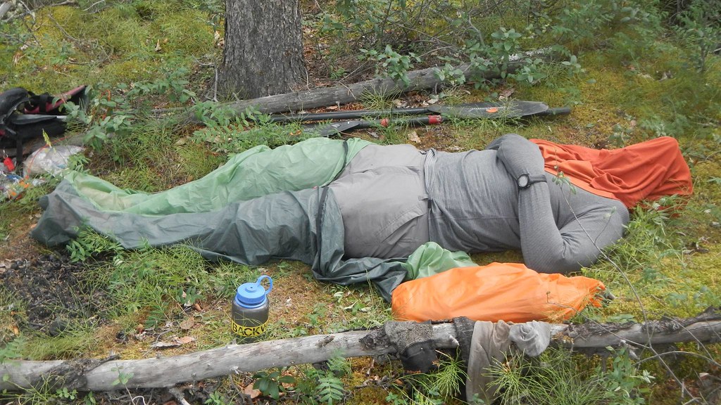
Me, catching some sleep, and breaking the no-sleep-til-wiseman rule

Alaska Summer Wilderness Classic
signs of racers in the past..

Everyone says Delay Pass is miserable hiking, but I didn’t find much of it to be actually miserable, and while it was a bit of a slog, we made pretty good progress.

Alaska Summer Wilderness Classic

Alaska Summer Wilderness Classic

Alaska Summer Wilderness Classic

Alaska Summer Wilderness Classic

We cut off a fair bit of the winter trail by taking a ridge around the worst part. Climbing up the ridge kicked my butt, and my feet were starting to get a bit sore and waterlogged, and my achilles were starting to hurt, but otherwise everything was mostly fine. Once I loosened my shoes a bit my achilles were much happier.

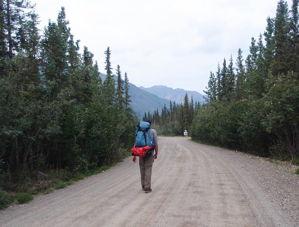
Soon we were on the road out of Nolan, slowly shuffling down the road to Wiseman. These 6 miles took forever and were a bit hard on the feet..

Alaska Summer Wilderness Classic
two miles from Wiseman..

Alaska Summer Wilderness Classic

We finished Wednesday at 4:30am, 65 ish hours since the start.

It was a great experience, thanks for the company Tom, and thanks to the Hickers of the Arctic Getaway Cabins for hosting us!

I am already thinking about next year..

As a post scripts of sorts – folks often accuse me of saying things were “mellow” when they are not. This trip wasn’t mellow – but the walking was mostly good, and the floating really split things up so my body got a nice break, making for a relatively trauma free adventure. And of course, we got 4 ish hours of sleep, making things even nicer. The “harder” parts, and things I need to improve on would be to walk a bit faster, concentrate more on micro scale route finding (sticking to the bands of nice walking though the areas of not nice walking), and “staying the course” when the planned route appears to go bad, and finding a way to make it work. On the last point, I feel pretty disappointed with myself that we turned back at the first pass, assuming there was no way over, even though we knew at least one other party had gone over – Harlow’s footprints were pretty distinctive, and I saw the prints on the first climb up the pass, so I so I knew folks had made it over.

A second post script – here are some brief notes (to myself mainly) on things that worked or didn’t work:

  •  i used Gaia GPS for a bit of the navigation on this trip, and was amazed by how much easier to navigate with vs the garmin unit I normally use.  I should pre-cache satellite imagery for tricky bits, i expect that would help with navigation.
  • I brought a ultra lightweight bivy, and it was great for a little extra warmth and to keep the bugs off.
  • I pre-taped my forefoot and heels, and the tape lasted most of the trip, and I survived with only a few small blisters – success!
  • I had treated my shirt with Permethrin, and it worked great for keeping the bugs away.
  • The hmg backpack was awesome – worked great, comfortable, and light.  I wish it was made of something besides cuben fiber, as it already appears to be showing signs of wear, but I guess that is life.

A few things that worked less well:

  • My food choices could have used a bit more thought – i bought about 5 of the ominously named “Meal Pack Bars” – they are very calorie dense and pack well, but taste bad and are like eating dirt – dry and unrewarding.  Otherwise my food selection was fine, though perhaps more Snickers next time.
  • I brought a freeze dried meal, which I made before hiking delay pass – I should have brought two more, it went down great.
  • I was a bit unhappy with my footwear – montrail mountain masochist trail runners.  They are light and grippy, but need a stiffer rock plate for some of the walking – i bruised my feet a bit.  Otherwise they worked great – I just wish the forefront of these shoes were stiffer.  Otherwise they worked fine.   If anyone has recommendations I would love to hear them.  I would love to just use low top hiking shoes for these sort of trips, but alas I can’t find any that are not goretex.
  • I didn’t bring enough foot lube – I could have used a lot more after my feet dried out after the nap before delay pass.  Live and learn..
  • trekking poles would have made some of the hiking faster, and some of the stream crossings easier – next time I will bring them!
  • I really wish I had brought some sort of lightweight bug proof long sleeve top with a hood – it would have made the bug pressure a bit easier to deal with at times.
  • I suck at micro scale navigation – I need to work on finding those sections of nicer walking in sections of bad walking.  Mostly I think it just requires me to be more aware of where I am going – something to work on.

The route:

Summer of 2018 update
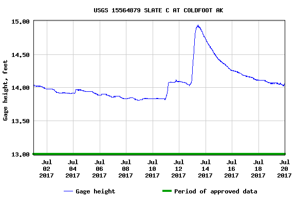
The 2018 version of this is just around the corner, and I was digging around for info on the water levels when we did it in 2017. Alas, I didn’t save the info (curses!), but
The Slate Creek Gauge looked like this:

The current state of the gauge is: Slate Creek
For some reason I cannot find historical data on the river gauge at Bettles, but the current info can be found here: Koyukuk at Bettles

Biking the Haul Road – Deadhorse to Fairbanks

Sunday, July 24th, 2011

I have been thinking about biking the Dalton Highway for several years now. The road has a legendary reputation for long 13% grades, epic mud, windshield- and tire-destroying rocks, and headwinds of doom – all of which of course makes it a very attractive road to bike. Things came together this spring, and in mid July I found myself driving up the Haul Road with Tom on a grand adventure. Some friends of ours were on a long float trip that ends up on a village near the north coast of Alaska where they would then fly to Deadhorse and drive back to Fairbanks. Luckly for us, they needed someone to drive their vehicle up to Deadhorse, so early on a Tuesday morning we loaded up our bikes and headed out of town. It was a long, uneventful drive up to Deadhorse and took a little under 12 hours including a shortish stop at Coldfoot. We spend the night at Deadhorse at the aptly named Deadhorse Camp hotel. The hotel was composed of a main building made of stacked ATCO trailers, with a number of stand-alone trailers on skis pulled up around the main building.

This is standard affair for Deadhorse – nearly every building not intended for equipment storage is composed of an ATCO trailer of one sort or another. Our room was in one of the trailers alongside the main building.

This was my first visit to Deadhorse in the summer. I had been here several times in the winter while passing though on the way to Barrow and things looked quite different when it’s not -40F with 50 mph winds.. Deadhorse is a strange place and fairly hard to describe. Its consists mainly of a immense series of gravel pads connected by gravel roads with all sorts of heavy equipment, oil exploration machinery, and trailers of all type parked in various stages of disarray, along with a couple of active oil and gas wells.

I stopped by the hardware store and picked up a set of tinted safety glasses, and then we headed out to find dinner. Most of the folks here are not full time residents and are here temporarily for work, either for short stints or on some sort of 2 weeks on, 1 week off rotation. This makes for some unusual living conventions, including the all-you-can-eat meal – all the restaurants in Deadhorse serve all-you-can-eat meals cafeteria style. The food is not bad, but not particularly exciting. We ended up eating at the Prudhoe Bay Hotel, and some of the clients definitely showed signs of the “all you can eat diet”. Eventually we pried ourselves away from the trough, though not before I made a to-go bag with a handful of pastries and headed back to our hotel to get some sleep.

In the morning we hopped on our bikes and were off!

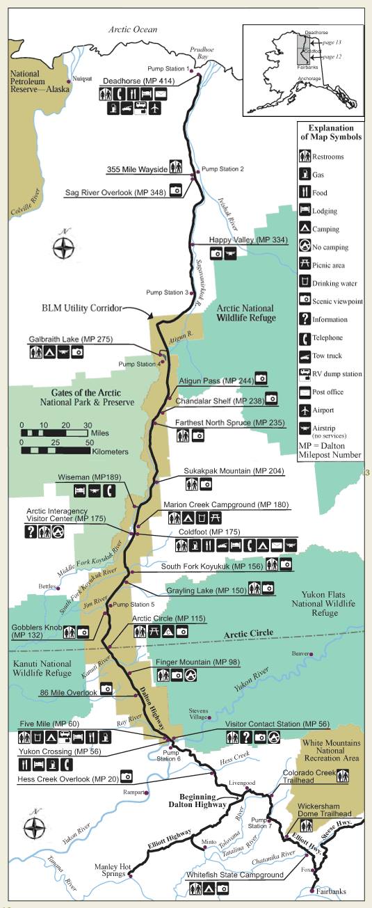
Our route was pretty simple as there is really only one road option to get back to Fairbanks. We were going to leave Deadhorse, bike on the Dalton until it ended and then take the Eliot Highway back to Fairbanks. Fairly simple.

Here is an interactive map of our route:
View Larger Map

Day 1
For the first mile or so we had to bike some local roads to get to the Dalton. There was a surprising amount of traffic, though the drivers were pretty well mannered.

Eventually we reached the start of the Dalton, and our trip began!

The first 60 miles or so of the Dalton are mind-numbingly flat, but quite scenic. It might go without saying, but this section of our trip was quite far north – in fact I think this might be the farthest north you can go by road in North America. There are no trees this far north, just small willow looking shrubs and things that look much like grasses (I am obviously not a biologist). We really lucked out weather-wise – it warmer than I expected. We had a wonderful 65F weather, which was quite a bit nicer than the 40F I was expecting. The road surface for the start of our trip was hard packed dirt with a fair bit of calcium chloride mixed in to harden the road surface and to keep the dust down.

I had been told that there was a good chance that we might see some Musk Ox, but alas we didn’t. We did see a lots of birds and were dive bombed briefly by some shockingly large terns. We also saw a fair number of fat arctic ground squirrels, of which there was a lot.

At around mile 53 or so the surface changed to chip and seal and we enjoyed a nice break from the gravel road for another 27 miles.


Eventually the road surface switched back to dirt near a collection of dreary looking buildings called “Happy Valley”.

Just past Happy Valley there was a motorcyclist stopped in the middle of the road. It was a bit of a strange place to stop so when I caught up with him I stopped and asked if he was ok.

We talked for a bit and apparently he had stopped to take pictures, and was completely unfazed that he was in the middle of a dirt road with large semi bearing down on him from behind. I talked to him for a couple of minutes, learning he had driven his motorcycle up from Georgia. We saw an amazing number of motorcycles. It appeared that there were more motorcycles than any other type of private traffic on the road… not what I expected.

We continued biking until we reached the “Ice Cut”, a smallish hill where the road cuts through the a bluff and apparently exposed a large ice-lens, thus the name, and we called it a day. We camped on a pipeline access road that leads to the Sag River. The Dalton has lots and lots of wonderful campsites – at regular intervals there are side roads leading to the pipeline. The pipeline access roads are normally blocked by gates, but the gates are easy to get around or under with a bike, and as far as I know its fine to camp there so long as you do not block access.

Day 2

In the morning we continued, though the weather was a bit less sunny. We had brief rain showers for most the day, though it never rained very hard. For the first day the road was mostly very flat, with only an occasional small hill. As we traveled south we started hitting the foothills of the north side of the Brooks Range, and things became a bit less flat

The hills continued to grow as we headed towards the Brooks Range and the high point of the trip, Atigun Pass.

We passed a number of construction and DOT camps, including one with an interesting sign.

A little before we entered the Atigun River valley, we passed Toolik Field Station, where some neighbors of ours spend part of the summer studying the Arctic ecosystem.
.

After passing the side road to Toolik, we passed Galbraith lake where some sort of massive excavation appeared to be going on, and started up the Atigun River valley.

The views were starting to be pretty nice at this point, but alas we were also on the receiving end of a stiff headwind. We spotted several groups of sheep sunning themselves on the other side of the valley.

On this section of road the trucks raised a fair bit of dust – fortunately the wind kept it from hanging around very long.

We did get to see some unusual cargo as the trucks drove by, including a rocket-shaped oversized load.

The Atigun River valley is quite beautiful and very scenic.

Eventually we reached the base of Atigun Pass, the only “big” climb of the trip, just in time for it to start raining in earnest.
Fortunately the rainstorm was short-lived, and by the time we were half way up the climb it had stopped raining.

The climb up the pass was a lot less of a climb than I was expecting – it is fairly steep but it is not that long and was over fairly quickly. At the top of the pass we were rewarded by wonderful blue sky and fantastic views of the south side of the pass – hurray!

From the top of the pass it was a wonderful ride downhill to our campsite for the evening near the airstrip at Chandalar Station.

We camped near the runway, but well off the section used by planes so we didn’t get in the way. The runway appeared to used only infrequently. The campsite had wonderful views of the Chandalar Shelf and the start of the Dietrich River valley.

Day 3
Our third day was pretty short, only a little over 50 miles and 4 hours of biking. We left pretty early, climbed up over Chandalar Shelf, and enjoyed a long downhill ride to Wiseman. We were starting to leave the Arctic and the vegetation was starting to change – we now had trees!

This section of the trip zoomed along, as it was mostly downhill with very few hills. About 10 miles or so before the turnoff for Wiseman the pavement started – nice new and fast pavement.
.
We arrived in Wiseman a little before 3pm, with lots of time to explore, shower, do laundry, and get other random tasks done. We stayed at the Boreal Lodge a nice little lodge in Wiseman proper. I explored Wiseman for a short time, seeing the museum and an old general store, and walked around town a bit. Eventually I headed back to the lodge and spent a bit of time relaxing in the sun, and enjoyed several ice cream bars.
(2021 Update – I now highly recommend The Arctic Getaway in Wiseman – they are great folks and are bikers. https://www.arcticgetaway.com/ )

Day 4
On the forth day we headed out of Wiseman early and zoomed off to Coldfoot in an attempt to arrive in time to make the all-you-can-eat breakfast offering. We arrived with 15 minutes to spare, and quickly grabbed our food. Just as we were sitting down to gorge ourselves, the folks we shuttled the car for arrived. They had finished their trip a bit early and were heading back to Fairbanks. We had a very large breakfast with them, and eventually hit the road again, powered up (or slowed down) by the massive quantity of food we had we had eaten. The road south of Coldfoot is paved and was fast riding. A little south of Coldfoot we ran into our first biker (while on bikes anyway – we saw several bikers on the drive up, but as we were driving it does not count) of the trip – Rucker.

Rucker is from Ohio and is apparently friends with the cousin of one of my neighbors, who asked if we had seen him. Sometimes it is an amazingly small world.. We saw a handful of bikers on the drive up to Deadhorse, and two bikers on the bike ride back to Fairbanks, and Rucker was the only one who seemed to have things in order, and appeared to be carrying a reasonable amount of stuff.
The road south of Coldfoot is very scenic..

We stopped for at the Arctic Circle for a quick photo..

and made a quick pass though the campground looking for “bucket man”. On the drive up we passed a fellow biking in full bug gear with 5 gallon buckets instead of panniers. I thought about stopping to say hi and ask how the biking is, but since we ran into him around 10 miles or so outside Deadhorse I thought I would just catch up with him the next day. Alas, bucket man was hauling butt, while we kept an eye out for him we didn’t catch up with him until the Arctic Circle campground, where he was sleeping, so we didn’t get a chance to talk. I did admire his bike from a distance however.

The only major climb of the day was Beaver Slide.

Beaver Slide is a 9% grade gravel hill that is about two miles long and very straight. As we approached it I saw huge white ghost-like shapes descending it in an ominous manner. Fortunately they turned out to be wide load trucks with huge white boxes on them.

Climbing Beaver Slide turned out to be an amusing exercise in dust and bad driving. The truckers seem to take the hill pretty slowly, going up and down the hill at a reasonable rate. Alas, some of the private traffic seems to think this is a ideal place to pass, and we witnessed several very marginal passing maneuvers while climbing the hill. It was very dry when we were on this section of road, which ment it was very dusty. Fortunately it is only two miles long and it goes by fairly quickly.


The rest of the day went by fairly quickly. We biked until Dall creek, where we took a pipeline access road and camped under the pipeline.

The pipeline was amusingly adorned by lots of notes and a few strange symbols.

Disturbingly, one of the pipeline supports we camped under was labeled “Replace S Bracket”. We did survive the night.

Day 5 – the day of Mud!
The next morning we awoke to a light rain. We packed up and headed with with plans of getting an early morning burger at Hot Spot, a burger joint several miles from the Yukon River. The road quickly turned to dirt again, but it was not a big deal as it was not raining all that hard. This was going to change however…

The section of road before the Yukon River is scenic with wonderful sections of fireweed in old burns – quite beautiful.

For most of the morning there was a light rain, and it was starting to make the road a bit muddy.

Eventually we arrived at Hot Spot and had some burgers. After the burgers we headed out. While we chowed burgers it had continued raining, and as a result the road was a bit more muddy..

We stopped briefly at Yukon River camp and I grabbed two Dr Peppers and we then headed across the bridge over the Yukon River. The Yukon River bridge is pretty funky – it is the only bridge I have crossed with a definite slope to it. Biking up hill on a muddy wood decked bridge in the rain is an interesting experience.

The mud got progressively worse…

Fortunately we were saved by a brief bit of pavement after the bridge. While we were on the pavement we passed a fellow biker from Holland via Canada who was hauling a lot of stuff – a fully loaded B.O.B. and a full set of panniers, and was carrying food for full 14 days. It looked painful. Eventually the pavement ended and the mud began again. By this time the rain had stopped and things were drying out, but while the road was getting better the semi-dry mud was very sticky and our bikes required frequent de-mudding.

Eventually we had to stop at a creek and did a complete de-mudding and ate dinner while the road dried out. This worked wonderfully, as by the time we had finished and were ready to go the road was much dryer and almost mud free.

With about 10 miles left on the Dalton we ran into a fellow walking on the side of the road. We stopped and talked for a bit, and learned he was on day one of an attempt to Dalton Highway from the junction of the Elliott to Deadhorse. He was from Worcester, MA and was figuring on taking 18 days.

We biked the rest of the evening, and made it to the Elliott highway, which marked the end of the Dalton – hurrah!

We biked for another hour or so and made it to Fred Blixt cabin, which we had rented in case we wanted to spend the night there. It had been a bit of a long day and we were pretty happy to crash at the cabin.

Day 6 – the last day!
The final day was fairly short, but has a few hills. We got an early start and stopped at Joy, a small homestead and gift shop, grabbing a bite to eat. Several hours later we made it to Hill Top, a local truck stop at mile 5 of the Elliott, and dropped in for a (large) bite to eat. I had some pancakes and Tom enjoyed a burger. I was warned the pancakes were huge, but was not expecting the massive too-big-for-the-plate pancakes that I ended up with – alas I was only able to eat half of them. The rest of the trip was pretty mellow, though it was a bit hard to bike with so much food inside me. I made it back to my house at around 4 or so, just in time to meet up with my wife Nancy and the twins returning from picking up their veggies from the local CSA.

For those interested, here are our final stats for the trip:

  • Day 1, Deadhorse – Ice Cut: 92.5 miles, 8 hours
  • Day 2, Ice Cut to south side of Atigun Pass: 85.8 miles, 8 hours
  • Day 3, Atigun to Wiseman: 54.1 miles, 4 hours
  • Day 4, Wiseman to Dall Creek: 104 miles, 8:30 hours
  • Day 5, Dall Creek to Fred Blixt: 101.5 miles, 9:30 hours
  • Day 6, Fred Blixt to Tom’s house: 75.9 miles, 6 hours. +~3 miles for Jay.
  • Total, 513.8 miles, 44 hours

Notes for other folks interested in biking the Dalton Highway.

  • Food is available at several places along the road:
    • Yukon River Camp, MP 56
    • Hot Spot and 5 mile Camp, MP 60
    • Coldfoot, MP 175
    • Wiseman, MP 186
    • Deadhorse, MP 414
    • All these places (except Wiseman) have diner style food, and a selection of very basic snacks.
  • The Arctic Getaway in Wiseman is highly recommended as a place to stay in Wiseman – they are great folks and are bikers. https://www.arcticgetaway.com/
  • There is a post office in Coldfoot, so it is posssible to mail stuff there to be picked up, though the office hours are a bit strange – Mon,Wed,Fri 1:30-6:00pm
  • With all these options for food it’s silly to carry all the food for the entire trip with you the whole time. Unless you love hauling extra weight up and down the hills.
  • If you book a reservation with one of the places to stay along the road, its probably possible to mail them a food drop of some sort. Ask first of course.
  • There are quite a few hills – go as light as is reasonable.
  • Basic cross tires in the 32-40mm range with a little bit of tread are fine. Bigger tires will add more comfort but slower riding, smaller tires more suffering.
  • If the road is muddy and it looks like it might stop raining, take a break and let the road dry out. The road appears to dry pretty fast and the daylight hours are long. Go take a nap!
  • Fenders are a very good idea – not only for keeping you dry, but for keeping your drive train as clean (as possible anyway) of mud. If it rains there will be mud.
  • No bike repair stuff can be found on the Dalton, though there is a very well stocked hardware store in Deadhorse that might have some things (patch kits for example)
  • You can’t bike to the Arctic Ocean. You can take a tour there and listen to a talk about how clean and happy BP is, and splash in the ocean if you want, but you cannot bike there.
  • Bring at least one water treatment system! There is lots of water in streams and lakes along the road, but pretty much all of it needs treatment unless you want giardia or some other friendly gut nasties. We used an older model of the Steripen with backup chlorine dioxide pills and two part chlorine dioxide liquid. Treating water is fast and safe these days, there is no reason not to do it. The walker we ran into at mile 10 was planning on drinking untreated water for the most part, which I hope works for him, but for most people will end up with the “Giardia Weight Loss Plan” and an potentially aborted trip.

A simplified map of the route:
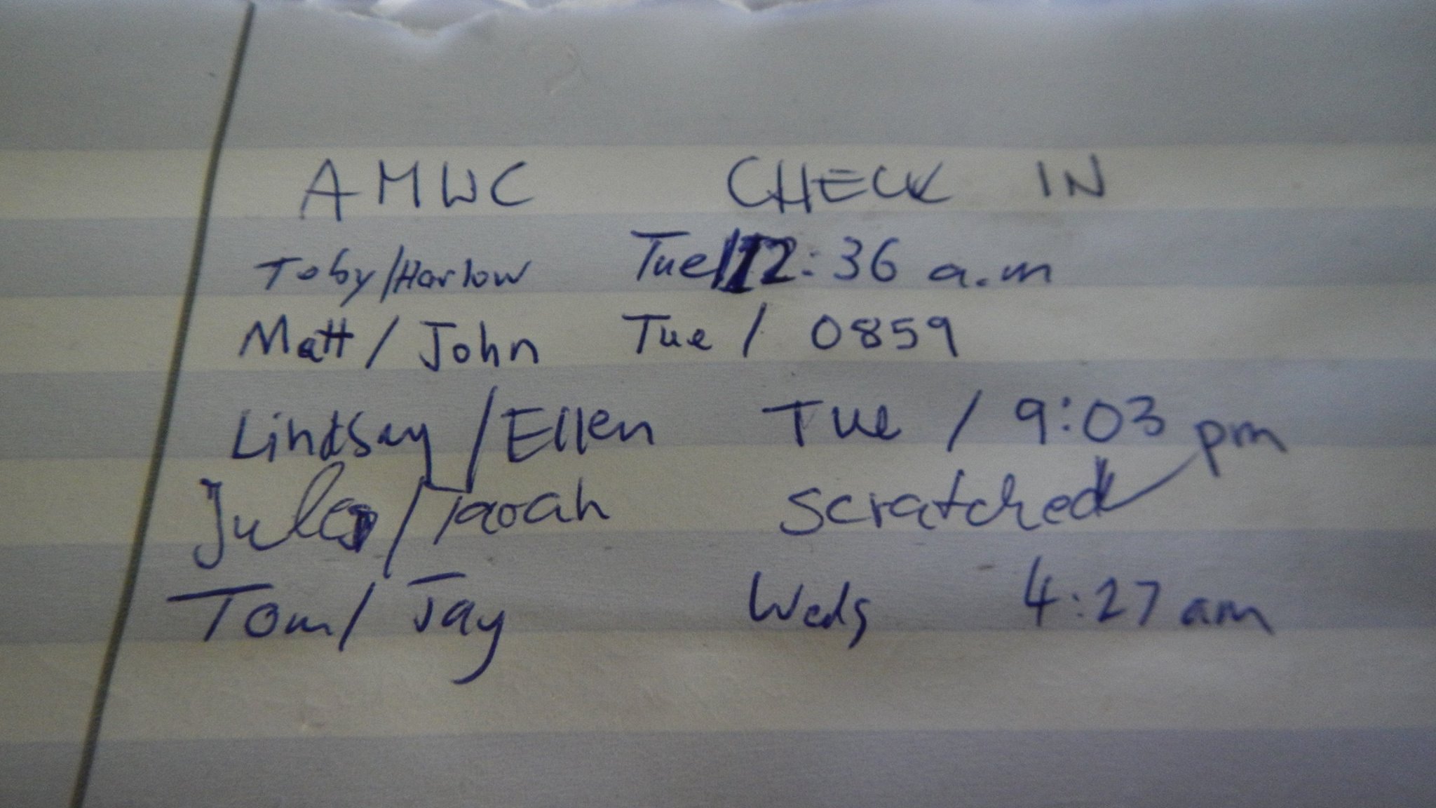
10700197_794370397275932_8195508289451319653_o

More Photos can be found Here.