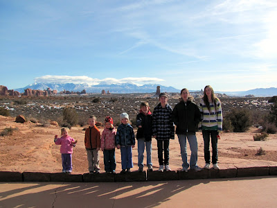
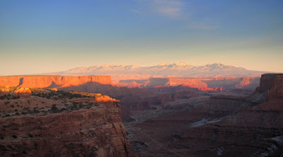
The day after Christmas the family and I left cold and dark Fairbanks to spend some time in the greater Moab area with my brother Dwight’s family.
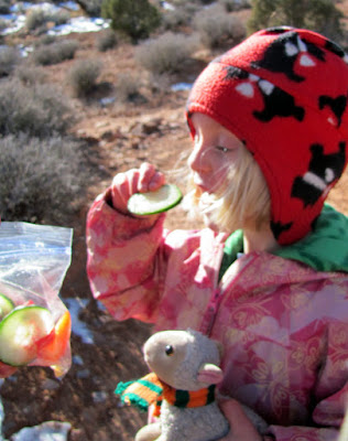
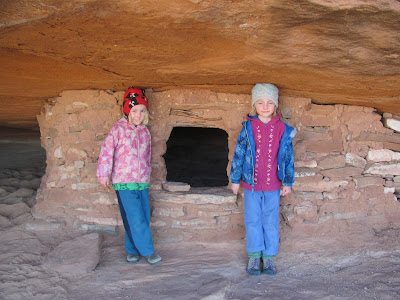
Several days were spent with lots of Cables having fun in the warm for us +50f sun..
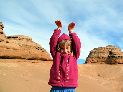
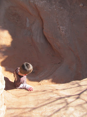
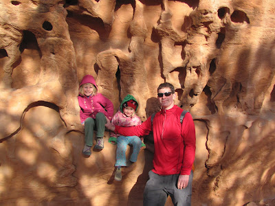
Silliness abounded..
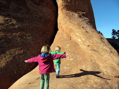
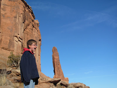
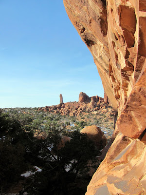
And rock spires were eaten.
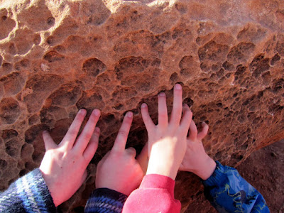
Everyone had a wonderful time exploring a new world of sand, rock, and in the twins’ case, the novelty of a sun beaming down actual warmth.
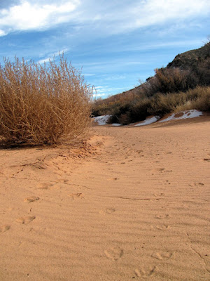
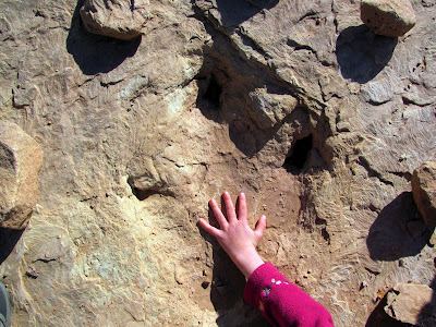
.. and dino prints!
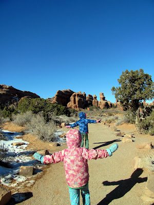
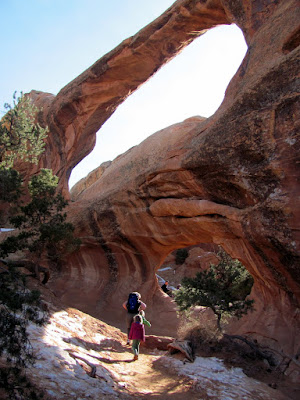
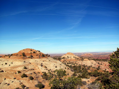
Arches National Park was explored and enjoyed.
We spent some time in Canyonlands, though without the assistance of Dwight’s clan as they had to head back home for school. They were missed..
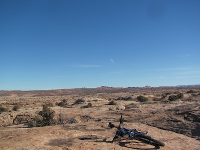
I was able to get out for one seven hour ride on Moab’s “Brand” trails, which were in a word – amazing. I had the place to myself, on a sunny windless day. The trails were dry and snow free.
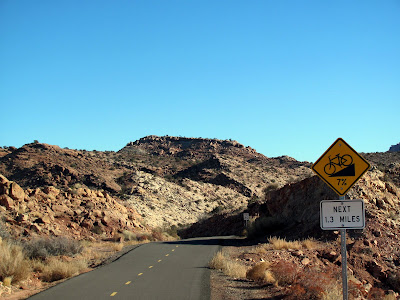
Moab also has the nicest bike path I have ever seen, complete with warning signs for hills, and posted speed limits.
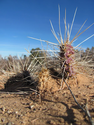
I got several hours of playing on slickrock, which was interesting and fairly rewarding.
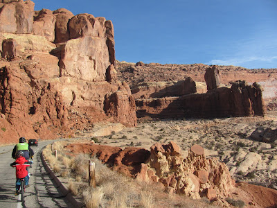
The “XC” five inch travel full suspension bikes we rented (almost) cured me of any interest buying a similar bike – way too much bounce. At times it was like riding a pogo stick. I say almost as I might have been able to fix the bounce with adjustments to the pressure and damping, but not having access to a shock pump made this impossible. I was pretty impressed by how much the suspension could soak up though.. only for all the riding I did on it, it was much too much bike. We had tagalongs (thanks Kristin!) and tried to get some biking in each day. Generally the day would start with driving to the general area, then biking to various trailheads with the twins in tow, and then hiking.
The roads outside of Moab, Arches, and Canyonlands are great for biking. We didn’t see very many bikers but it seemed like it would be wonderful off season road biking, with minimal traffic, fantastically smooth asphalt, and wonderful views.
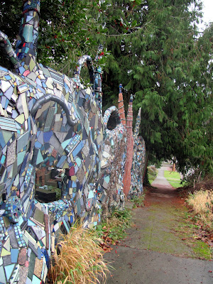
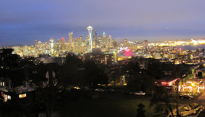
On the way back to Alaska we spent two days in Seattle taking in the sights with Steve and Manish.
(Click the Vimeo button for the full awesome effect)
Now its back to the snow bike, getting in the miles/hours in preparation to the upcoming madness in 6 weeks.
A big thanks to the Cable family of Utah, and Steve and Manish for inviting us to visit, chaos and all.
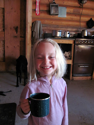
Tom, Ms Marsh, and I (plus Remus the dog, if he counts), spent a wonderful Sunday hiking the Granite Tors. I love this trail in all its seasons and this hike was no exception. Here are some photos that sum up the experience.. or attempt to anyway. Enjoy!
Next time I need to bring the “Big” camera and get some better photos!
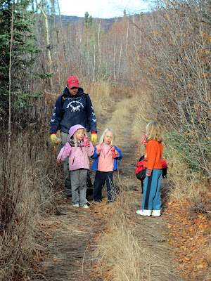
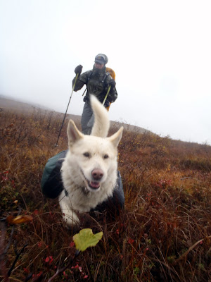
Last year our family and some friends made a wonderfully fun trip to Tolovana Hotsprings. We had so much fun we decided to do it again, and this time the twins were old enough to (hopefully) walk the whole way under their own power – hurrah!
On a fine October morning our family headed out of town, after hitting the coffee shack for some morning wake up magic. We were followed by Anna and Ned. After a longish drive we arrived at the trailhead and eventually started ambling down the trail.
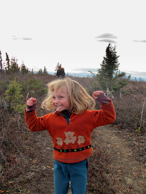
The pace was fast for little legs, requiring frequent snacking..
After a while the twins ended up with suspiciously snack covered faces.
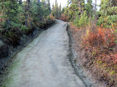
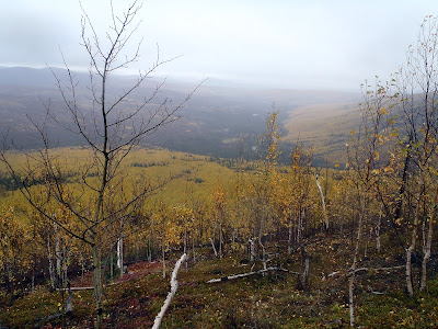
The trail in to Tolovana is about 10 miles or so. It was in great shape for the most part, but there were a couple of sections requiring some puddle dodging.
The ice covered puddles gave the little people loads of entertainment.. Molly even found a dinosaur..
The ice dino was carried for a quarter of a mile before being left in a comfortable (and I was told, tasty!) field of grass.
The hike in was filled with games of various sorts including I Spy and variations on the Dora the Explorer troll game, where a grumpy troll asks three questions of the various hikers.
I introduced the twins to this game and they have found it so exciting I no longer get to play the troll and ask questions of them, but instead they ask questions of me. Easy questions like how much is 50 plus 50, and harder ones like how many trees are there in Alaska, and how many roots does that tree have.
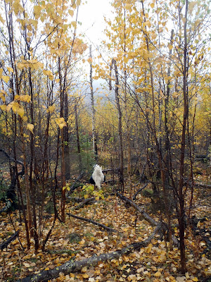
It was a wonderfully warm (for early October) day on our hike in, with beautiful fall colors. Our slowish (for long legs) pace gave me time to enjoy the scenery.
We had all three dogs with us. The younger dog, Remus, was very excited to be out hiking, and spent the entire hike bouncing around joyfully.
The other two dogs, being older and more dignified, followed along in a more stately manner and enjoyed the slower pace of the short legged hikers. Sometimes they kept the girls company and provided a ready (though quiet) audience.
Togiak and Polar are 14, give or take a bit, and their adventuring days are numbered.
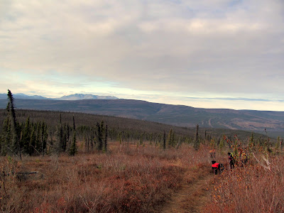
Eventually we reached the high point of the trail, near Tolovana Dome. There was much rejoicing..
The views were fantastic.
After the dome we started hiking down the final hill to the hotsprings. The little people started dragging a bit, and to motivate everyone, personalized bear bread (also called shelf or conk fungas) were made for each of the little hikers. Everyone was very proud of their fungi.
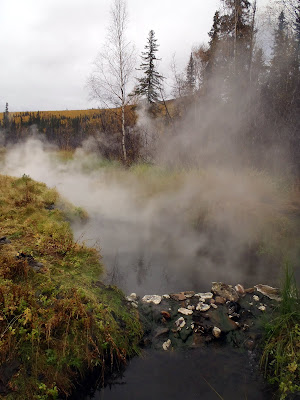
Eventually we arrived at the hotsprings, and after a short stop in our cabin we headed off to enjoy the hot water. Eventually we pried ourselves away from the water and had dinner. The twins and Anna appeared to eat about their body weight, and I started to worry they might explode.
Late in the evening our friends Tom and Ms Marsh arrived and joined us for a quiet after kid-bed-time soak.
The next day was spent goofing off and enjoying the hotsprings. I lolled around being slothful, while the twins and Anna alternated between having fun in the hot water and playing.
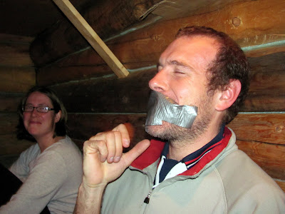
In the evening we ate more and entertained ourselves in various manners. At one point Molly covered Tom’s mouth with duct-tape, after arguing with him for at least half an hour about how it would not hurt to pull the tape off. Tom insisted that it would hurt, and only gave in once Molly demonstrated repeatedly that she could pull the tape of her face and not have it hurt. It did lead to a moment of silence as Tom was muffled.
Tom and Ms Marsh apparently didn’t get enough exercise on the way in, and used the three girls as leg curl machines. Molly and Lizzy were a bit put out that Tom couldn’t move them up and down quite as fast as Ms Marsh could move Anna. The twins were nonplused by Tom’s defense that there were two of them vs only one Anna.
I amused myself exploring the hotsprings area, catching up with Tom and Marsh, and taking pictures. Apparently I took a few too many pictures of the little people, as they started making faces whenever the camera came out…
After the twins hit the sack i got a nice long soak in the wonderful evening, enjoying the quiet and the stars. Alas, as I was walking back to the cabin I noticed that the wind had started blowing fairly hard. As i drifted off to sleep that evening I could hear the wind howling over the trees as a brisk wind developed.. Ah well, Tolovana wouldn’t be complete without a good wind!
The next day the twins, Anna, and Nancy started hiking out early, while Ned and I finished the final pack-up chores and gave the cabin a final cleaning before leaving to catch up. The morning sun on the hillside above the hotsprings was beautiful.
On the way out I stopped and chatted with Tom and Marsh. They planned to leave in the afternoon and would pass us on the trail, powered by their longer legs. The hike out was a bit windy and frosty, but not unpleasant by Tolovana standards.
To pass the time the girls and Nancy left motivational fungas signs on top of the mile markers, with a different name on each marker for the first handful of miles. Tom, Ms Marsh, and a fellow we encountered at the hotsprings, Patrick, all got their own fungus sign.
Patrick passed us on the way out, and the girls asked him if he had seen the sign. He was very amused – he apparently thought someone from the group he hiked in with was playing a joke on him. At the last mile marker he left three jerky pieces and a nice note thanking the girls for the fungus.
The little people were troopers and hiked along, powered by games, snacks, and songs.
We stopped at the water tank shelter and everyone jumped around inside enjoying a (noisy) break from the wind.
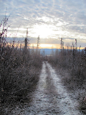
The hike out was scenic and windy but uneventful. There was a beautiful frost that was a wonderful reminder that my favorite season was almost here.
We eventually reached the parking lot, loaded up and headed home.
A big thanks to Ned, Tom, and Ms Marsh for coming along on this trip – thanks for coming along and adding to the fun!
I was very, very impressed by the little folks, Molly, Lizzy, and Anna. They were fantastic hikers! Anna in particular was quite a trooper as this hike was about twice as long as she had ever hiked under her own power – go Anna! You guys have now set the standard – if three 5 year olds can hike into Tolovana and enjoy it, anyone can!
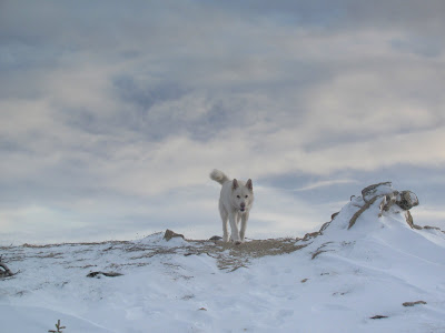
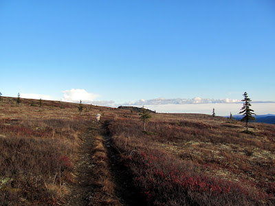
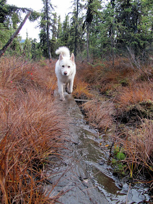
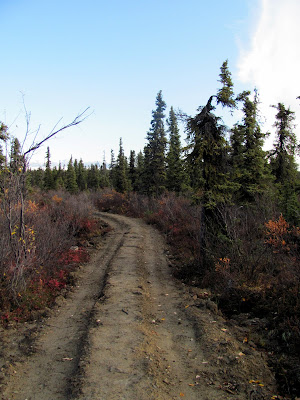
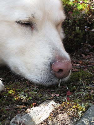
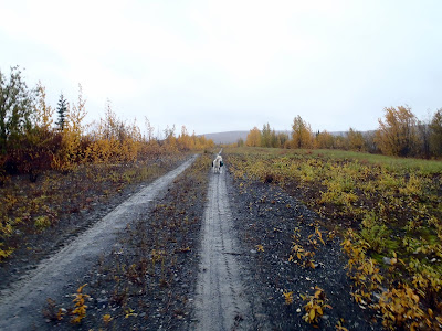
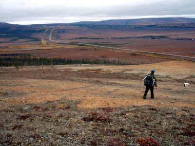
I had not hiked the Summit Trail in the White Mountains NRA yet this year, and as I was running out of snow free time for hiking I decided to get off my butt and day hike it. It is a wonderful hike ridge hike with marvelous views of the White Mountains and the surrounding lowlands. It was going to be a fairly long day, but doable – 34 miles or so round trip taking somewhere from 10 to 12 hours. Remus and I left a little less early than i would have preferred but we eventually reached the trail head and started hiking at 9am. I think in the end Remus might have wanted to have stayed home… more on this later.
It appeared that BLM had been working the muddy sections in the beginning or perhaps the trail was just naturally drying out.. in any case it was in better shape that it was last time I was here. Kudos to BLM!
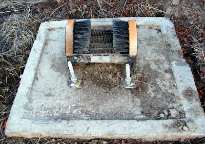
BLM (or possibly someone else with a sence of humor) had installed a boot brush near the start of the trail.
I found this contrivance amusing, as really only a quarter mile of the trail’s 17+ mile length has any mud. Hopefully it is put to good use.
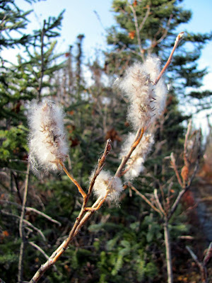
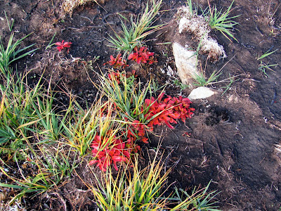
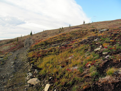
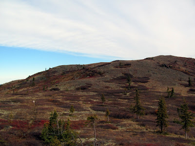
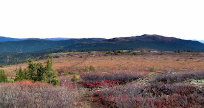
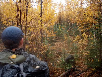
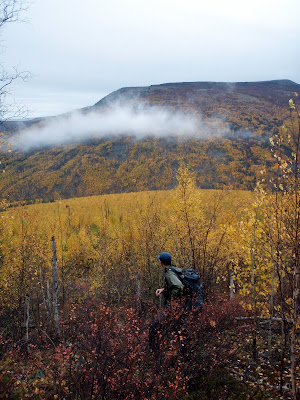
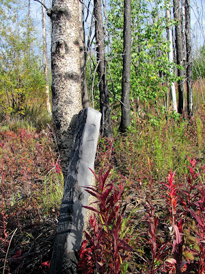
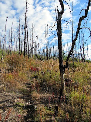
The fall colors were out in force making for nice scenery.
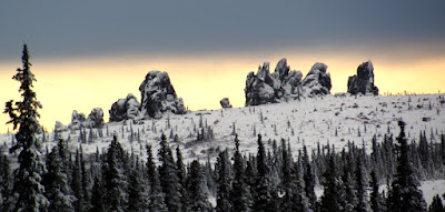
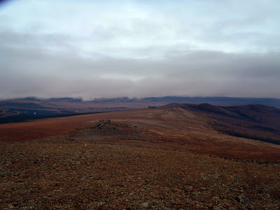
The Summit trail winds its way from the trail head to the side of Wickersham Dome, then follows a ridge down from the dome to another small rounded mountain and then down to the winter trail a few miles from Beaver Creek. My plan was to go to winter trail then turn around and head back. The trail is in good shape and the walking was fast and pleasant.
Remus was having fun…
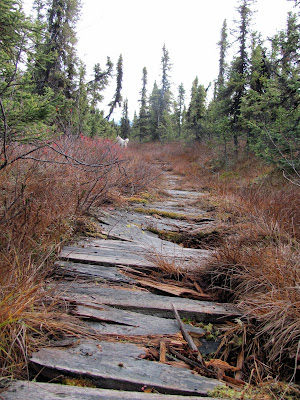
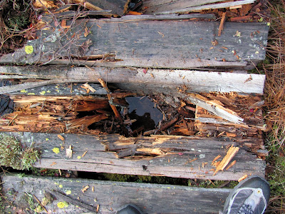
I had to slow down for some of the board walked sections as they still had a bit of frost or ice on them on the way it.
The older boardwalk sections had taken a bit of a beating recently. It looks like the trail has become popular with the equestrian crowd, and the hooves had taken a bit of a toll on the older boardwalk.
Not too big of a deal, as the older boardwalk has always been fairly beat up. The rest of the walking was wonderful.
BLM had done some additional work in a couple of the boggy sections between the dome and the shelter. These sections seemed to be holding up pretty well and a nice improvement.
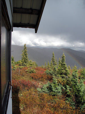
When we arrived at the trail shelter I stopped to check out the log book to see who had visited recently but just before opening the door I noticed someone’s stuff inside and moved on, a bit worried I had woken up someone trying to sleep in.
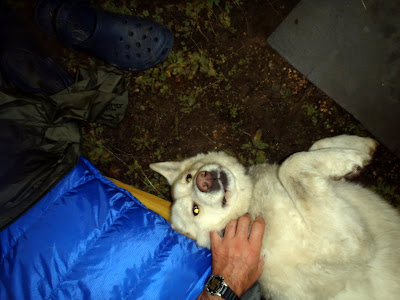
Apparently I hadn’t woken anyone up as I encountered the couple staying at the shelter a mile or further down the trail out on a day hike. They had three cute and well behaved husky mixes that Remus enjoyed saying hi to.
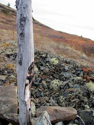
Near the top of a hill I stopped to snap a quick picture of an interesting trail marker, and then picked up the pace a bit to catch up with Remus.
Just as I was about to catch up with Remus I spotted a porcupine just ahead of us on the trail. Alas, Remus spotted it too, and ignoring my yells pounced on it. Ouch. Remus came zipping back to me with a nice face full of quills, with enough inside his mouth that he was having trouble closing his jaw. Much saddess. I yanked all the ones I could get to inside his mouth as fast as I could with my hands, then dug into my pack to find the small mini-pliers that is in my fix-it-kit. Alas, i had trimmed down the kit a bit on last weekends Kanuti trip, and had not put the pliers back into the kit. No pliers – even more saddness! Attempting to do the best I could in the situation I started pulling the quills out with my fingers as fast as I could. Alas, slimy quills are pretty hard to grip and it was a slow process. After 15 minutes or so of this the other hikers caught up with me and loaned me a leatherman. The woman, who’s name I forgot alas, helped me hold Remus’s lip up while I removed the rest of the quills inside his mouth that I could reach and most of them from the outside of his mouth and nose. The man, Sven, watched from a few feet away holding onto his three dogs. His dogs looked on with wide amazed eyes – watching me yank quills appeared to be making quite an impression on them. After 10 minutes or so we got all the ones I could get out and I gave back the leatherman, thanked the couple, and headed back to the trail head as fast as possible in an attempt to make it to the vet before it closed. Poor Remus was a sad, sad camper.
We made it out and to the vet before they closed, and Remus got the most of remaining quill removed while comfortably sedated. He had quite a few on the inside of his mouth broken off or lying under the skin in his gums that I could not get out, as well as a fair number broken off on the outside of his muzzle. After returning from the vet he spent to the rest of the evening crashed on the floor, so out of it the cat snuck up on him to give him a sniff to make sure he was not dead. The cat normally gives Remus a wide berth as he is pretty high strung and “bouncy like Tigger” as the twins put it, so having him crashed out on the floor insensible was quite a novelty.
While I was writing this I noticed he had a little sharp point on the top of his noise – I pulled at it and it got longer. Another tug and I pulled an inch and a half quill out of the top of his nose. I expect the dequilling processing will be ongoing. I showed the quill to the twins and they were quite impressed.
I feel a rather sorry I didn’t thank the couple with the leatherman more thoroughly – they came by at exactly the right time and saved my day. Next time I will make sure I take a pliers, though I hope that Remus learned his lesson.
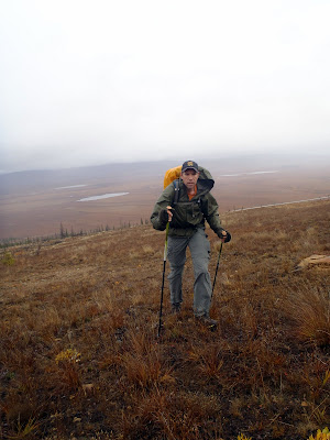
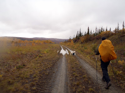
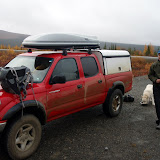
In the spring a group of friends and I headed out to Kanuti hotsprings for a wonderful overnight ski trip. Ever since then I have been thinking about a summer trip to the hotsprings, either as a hiking trip or a packrafting trip. With a free weekend and nothing major planned Tom and I headed out to Kanuti for a quick overnight trip. The plan was to hike in and out, as we were uncertain as to the water levels on the Kanuti River. Like the vast majority of rivers in Alaska it is ungauged and it is difficult to tell how much water it would have. The four hour drive to the start of the hike was scenic but uneventful. When we arrived I took a quick look at the river and was surprised to see it was bank full, with lots of water for pleasant floating. Having left our packrafts at home we gazed at the river longingly, but loaded up our packs and started walking.
I have not done any straight up backpacking trips recently and was amazed how light a sub 20lb pack feels. Not having to carry either float gear and a packraft or gear for the twins makes for light backpacks.
The first mile involved hiking on the Alaska Pipeline and was fast but pretty boring. Eventually we broke away from the pipeline and headed up to the ridges leading to Caribou Mountain.
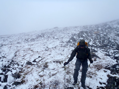
The weather was a bit gloomy with a spate of wind driven rain that changed to snow as we got higher up.
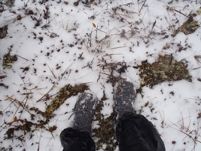
Near Caribou Mountain there was enough snow to slow things down a bit and to make hiking in my running shoes a bit iffy.
I had the feeling the views would have been wonderful if we had not been stuck in the clouds. After side-hilling around Caribou Mountain we headed down to the hotsprings.
After crossing one slightly swampy saddle we descended down a hillside covered with small birch trees before reaching the hotsprings.
Midway down the last hill the small birch trees formed a fairly dense wall of brush and slowed things down a bit.
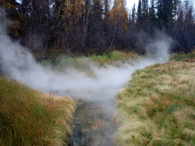
Eventually we arrived. The springs were in great shape, and after some cleanup we jumped in for a soak. The water was pretty relaxing and well worth the trip.
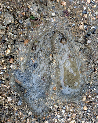
After enjoying the water for a while I got out and explored the springs. For the most part though the springs is remote-feeling, with not a lot of signs of past human visitors. The place seems pretty popular with the caribou and moose – there were tracks all around the springs.
In my wandering around I did find a smaller spring on the other side of the creek from the main springs that appeared to be warm enough to soak in. It had been cleaned out in the not so distant past, and might have seen some use this summer.
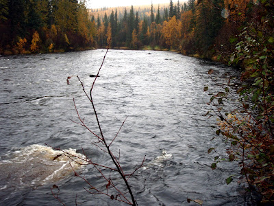
I checked out the Kanuti River near the springs, and it was fairly high and very floating. I have to come back sometime to float this!
The clearing the springs is located in is pretty interesting. The area closest to the springs is bare of any vegetation, with the rest of the meadow covered in wild chives and chest high grasses.
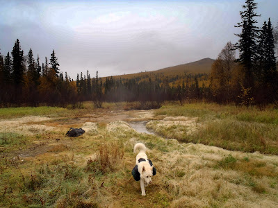
It is an interesting place and well worth visiting. Tom enjoyed the hot water so much he fell asleep and soaked for a extra hour or so, long enough to be a bit dehydrated and to have massive leg cramps when emerging. After having dinner and goofing off around the fire we hit the sack. This was the first trip where Tom got to use his new “Clown Tent”, a LightHeart SoLong. I was using my floor-less tent, a Golite utopia, and since I was by myself, Remus came inside too. He was pretty happy to join me out of the rain.
In the morning we had a brief soak, packed up, and headed out. We found a much nicer way though the brush on the way up the first hill which made for nicer hiking.
The weather was much more pleasant on the hike out, with periodic breaks in the clouds showing fantastic views of the surrounding hills.
All the snow on Caribou Mountain was gone, making for more pleasant hiking. By the time we were heading down the final hill large chunks of blue sky were showing though breaks in the clouds and the sun was peeking though in spots.
Soon we were back on the pipeline and shortly after that at the truck.
For folks who like hotsprings this is a trip to do – the hiking is wonderful and the springs are very nice. It took us around 5 hours to go in, and around 5 hours to hike out. The drive was around 4 hours one way, but could take more or less time depending on road conditions. We parked at the Kanuti River bridge at around mile 105, but it should also be possible to park at the abandoned gift shop at “Old Man”, or at one of the pipeline access roads (be sure not to block it, as your car might get towed).
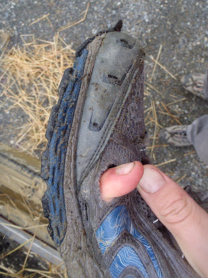
As a side note, I was saddened to learn that by the end of the trip my shoes had large holes in them.
These days I do most of my hiking in non-waterproof trail running shoes or light hikers. They are light and drain fast, important for the wet places I spend most of my time hiking in. The downside is I have had bad luck finding shoes that last any length of time. The shoes I took on this trip, North Face brand trail running shoes , have only around 120 miles on them, and four trips: two ~30 mile day hikes, a three day trip, plus this one, and already have large holes in them. It might be time to switch back to Saloman XA comps as I got several summers of use out of a pair. My current shoe selecting strategy, which can be summed up as getting whatever fits and is cheap or on sale, seems to not work so well. Maps
A larger interactive map can be found here and a standard paper map can be found here.
It was a little under 12 miles each way, and it took us 5 hours of hiking to get in, and 5 hours of hiking to get out.
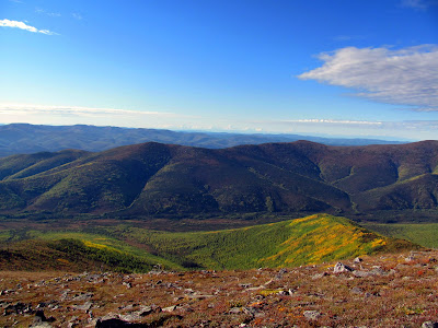
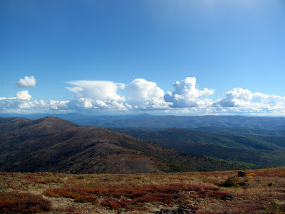
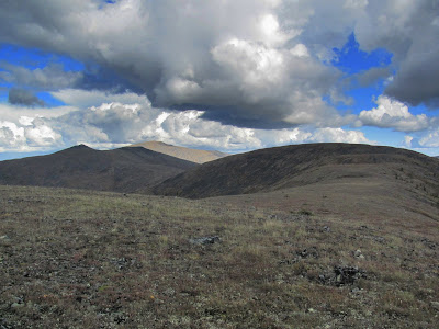
One of my favorite hikes in the greater Fairbanks area is Chena Dome. It is a wonderful 30 mile long ridge hike, with wonderful views and fantastic walking, and lots of climbing. I have made it a goal to hike it at least once a year. Lately I have been doing it as a long day hike, taking a little less than 12 hours to finish the loop. Doing it as a day hike means you don’t have to carry a heavy pack up and down all those hills. You can read about some of the other times I have hiked this trail with the family and as a day hike. It took us about 11.5 hours to hike the 30 miles and 8k to 14k feet of climbing (how much actual climbing there is is open to debate apparently) , which is about what it has taken me the other two times I have done it. Not nearly as fast as the rumored sub 7 hour times some of the local hot shot runners have done it in, but fast enough we got home at a reasonable hour.
My friend Tom, who joined me for this adventure, maintains that fall has yet to arrive, though I think the tree’s colorful display’s disagree with him.
The fireweed was in full color too.
The views from the ridges were, as always, fantastic.
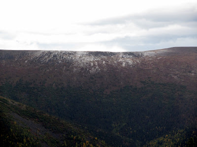
Tom and I had fantastic weather for the hike for most of the day, though we had a brief and heavy rain storm while we were at the trail shelter at mile 17.
After the rain storm it appeared that a section of the ridge we had been on a hour or so before now a dusting of snow. It was nice to have missed that.
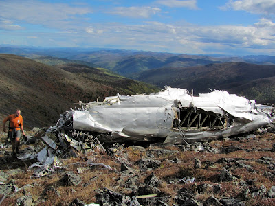
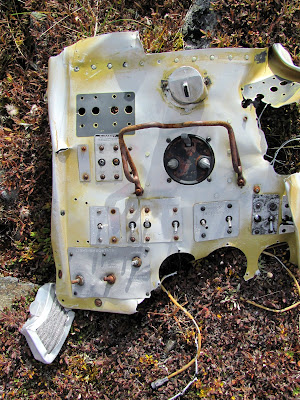
Near mile 8 there is a old plane crash.
The rubble and twisted plane parts has always been a pretty sad sight for me and a reminder of how dangerous air travel in Alaska was back in the day, and to some extent still is today. When I got back into town I decided to spend a bit of time looking for details on the crash. It appears the crash was a Curtiss C-46 operated by Transocean Airline on a flight from Umiat to Fairbanks. The plane crashed late in the evening on December 30, 1951. The details can be found here.
A photo of the plane, prior to the crash, complements of www.taloa.org .
I would love to know the full details of the crash if anyone has them. I found reference to a rescue attempt in -70f temperatures but was unable to find the CAB report on the accident – if anyone has it I would love to read it.