In honour of my switching to 3/4 time, I decided to use by first Monday off to do something interesting, like hike Chena Dome as a day hike. 12 hours (11 hours 35 minutes but whos counting anyway) and 6 quarts of water later I finished Chena Dome with sore feet but otherwise a fairly happy hiker. Chena Dome is one of the classic interior ridge hikes. Its quite a roller coaster of a hike, with lots of ups and downs, including some really steep sections. The reward for all this up and down is a fantastic alpine hike with spectacular views. The trail starts at 900ft above sea level and tops out at 4200ft asl, with 5 smaller ridge high points topping 3000ft.
The trail is a loop with the trail heads separated by a mile of walking on Chena Hotsprings road. The upper trail head had a bunch of Alaska DNR trail crew workings with Bobcats busy building a new trail out to Lower Angel Creek Cabin. The traditional trail had become increasingly trashed by summer ORV use, so DNR has decided to build a new trail on the hillside for summer use – hurray for DNR! The current Angel Creek trail has huge ruts in it and it now takes a lot of snow for it to be pleasant skiing. The new trail looks like it will make for superb summer biking and winter skiing. I am really looking forward to skiing it this winter!
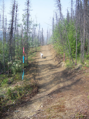
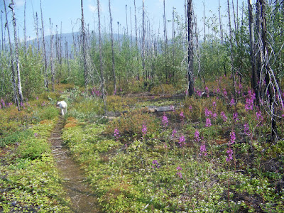
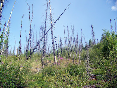
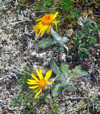
The beginning of the trail winds through a several year old burn as it slowly makes it way up past tree line on the ridge. The fireweed was quite beautiful.
Just before the trail breaks out above tree line there is a huge batch of burls.
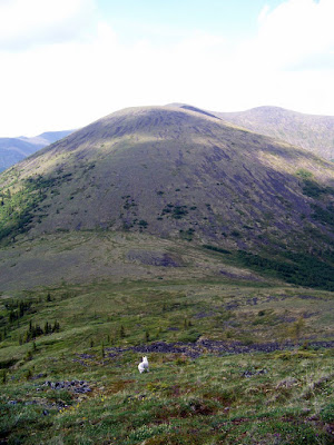
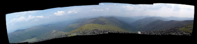
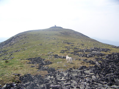
Once above tree line the trail becomes a ridge walk and follows a series of ridges. Great views abound.
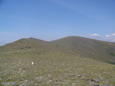
The Chena Dome trail is a seldom flat – if you are not going up, you are going down.
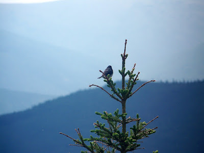
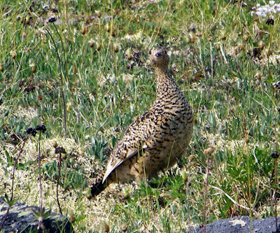
Wildlife sightings were pretty limited. I saw a number of ptarmigan and song birds of various types.
My views from the trails were periodically cut off by smoke – there are lots of smaller fires burning in the interior and sometimes when the wind shifted I could hardly see the ridges next door. Occasionally it would clear up and the views would return.
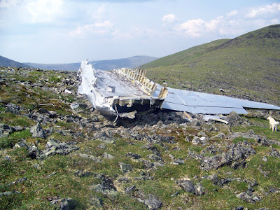
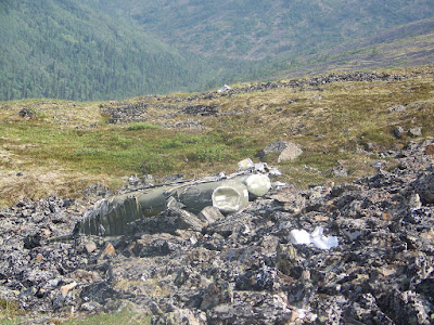
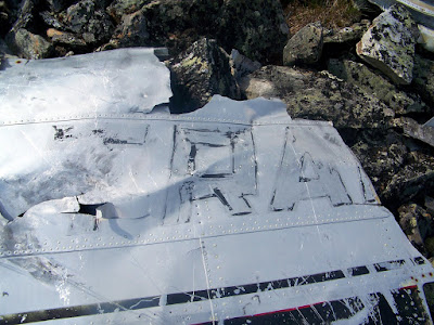
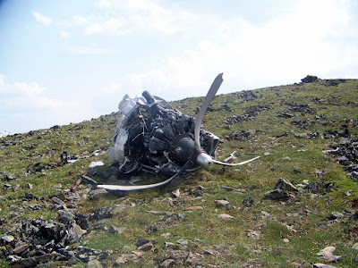
At about mile 8 there is a 1950’s vintage military plane crash. I spent about a half wandering around looking at the wreckage.
Finally, the summit! There is a Alaska DNR communications hut on top, but otherwise there is nothing much too see. I did find a large pile of moose droppings, which seemed quite out of place.
Once over the summit I encountered one of the few places where the trail is flat. It was a little to rocky for good running but was a nice break from constant ups and downs.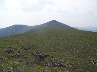
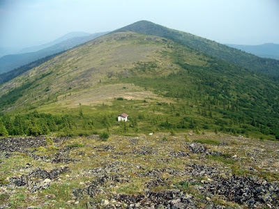
Eventually the trail drops off the ridge into a saddle near mile 17 where there is a small shelter. The shelter has a water catchment which makes it a great place to camp or to for a break, as there are not a lot of water sources on the trail.
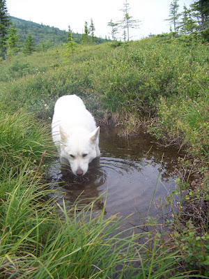
After a shortish break to refill my water bottles and have something to eat I was back on the trail. Remus was overheating for most of the trip, and greatly enjoyed wallowing in the tundra pools we passed.
After a couple of miles we started up the last hill, and then the long downhill to the parking lot. All in all this was quite fun as a day hike, though pretty long. It a lot of way it makes sense to do it as a day hike as you do you have to carry a heavy pack up and down the hills. Anyway, highly recommended!
Tags: arduous, chena dome, chena_rec_area, day hike, solo