On a beautiful monday Marsh and I decided to hike the Angel Rocks to Chena Hotsprings Trail in the Chena Recreation Area and about midway along the trail drop down to the middle fork of the Chena River and float back to Chena Hotsprings Road, then bike back to the trail head. I anticipated it taking 3 hours of walking, and 2 hours of floating. It turns out I was right about the floating section, but off by more than a hour on the hiking end. Such is life – I am getting a reputation for being way off on the time estimates.
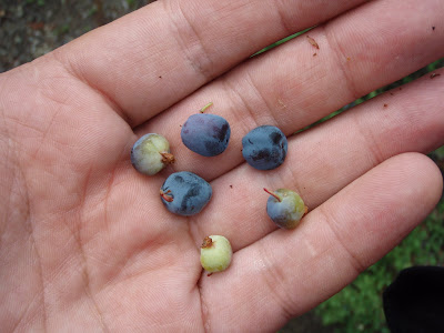
The hike up Angel Rocks is always very scenic, with wonderful granite tors and outcrops. Luckly for us the blueberries were out and a few were even ripe. Yum, yum!
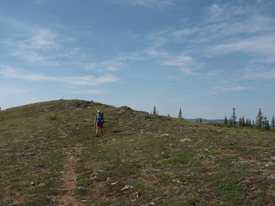
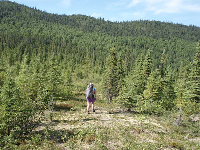
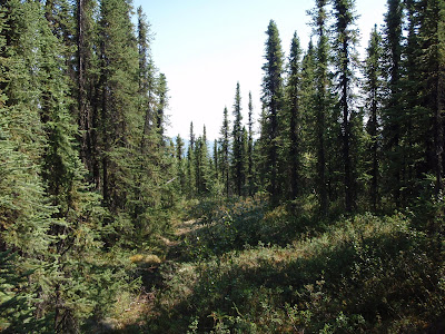
Once we reached the highpoint of the trail, we dropped down to another ridge we intended to follow to the Middle fork. Much to our surprise there was a established winter trail following the ridge all the way down to the river.
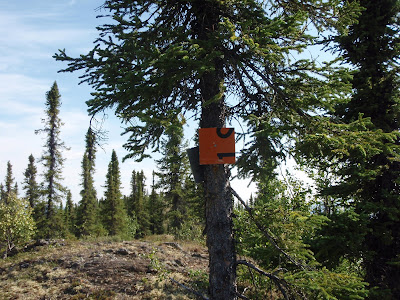
The trail is marked with cut up Alaska DOT roadsigns, which is quite unusual – in fact I have never see that done before, and its definitely not standard Alaska state parks signage.
The trail is in beautiful shape and is completely clear of brush with not a drop of mud or tussocks to be seen. It is very nice hiking! The trail is quite strange though, as it appears to get only winter traffic. Besides the redneck signage the array of lost items on the trail was quite amazing. We found several piles of traps dropped in the middle of the trail, two coolers, one shovels, a blue glove, and several dinner plates.
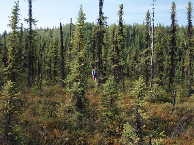
Alas, the trail did not head all the way to the river, but parallels it for a ways, so we took a more direct route though the tussocky swamp. The wet and squishy walking had begun.
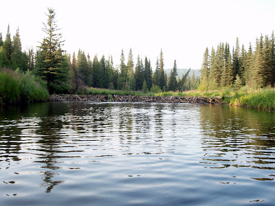
Fortunately we only had to pound though a very limited section of tussocks before hitting the river. The river was very underwhelming. I had to look at it very carefully to detect any current at all – it was not what I anticipated and if it was like this the whole way we where in for a major slow paddling slog. We inflated our boats, put in and where off. After a couple of hundred feet, and one ox bow later we where much happier. It turns out where we in a slough of the main river which was dammed up by beavers.
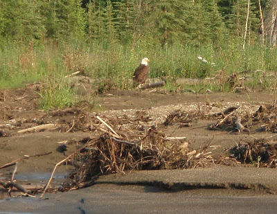
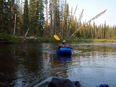
There was much rejoicing when we hit the main channel, as the middle fork had lots of water in it and it looked like we had a nice fun float ahead of use. There was also a eagle, which turned out to be the sole non-beaver animal sighting.
The rest of the float was quite mellow, with a couple of shallow spots and a number of sweepers but nothing tremendously exciting.
The fireweed was in full bloom and made for some beautiful vistas.
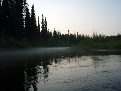
When we hit the confluence of the main chena and the middle fork a beautiful cloud of fog was drifting out of a slough. It was very neat looking and a big improvement clouds of mosquitoes and white socks we where running into earlier.
Finally we hit our take out point, where Marsh snapped a photo of me jumping around like a mad man.
All in all a wonderful packrafting day trip. The hiking distance is 8 to 9 miles, with one mile off trail, and the float is under 2 hours in the moderately dry conditions we did it in. Higher water would make for a faster and more interesting float. Very recommended!
Tags: chena_rec_area, day trip, packrafting


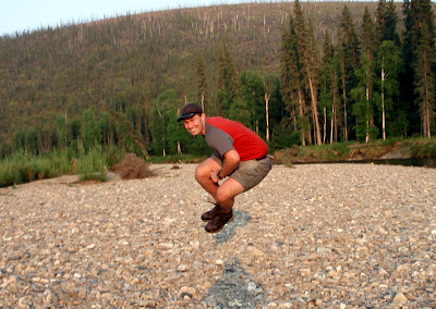
Yikes, I look insane in that photo!