Warning: I asked my daughter Molly to edit this post, and was told afterward that I would have gotten a D if I had turned this in as an assignment in her English class. I was told my writing is simplistic and childish. So you have been warned 🤣
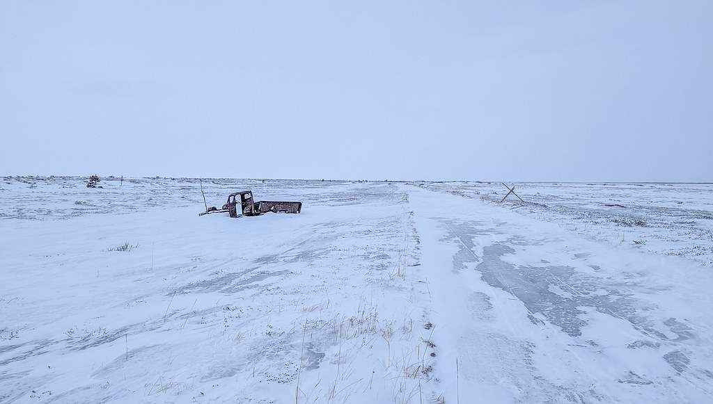
Last year when the new Alaska Summer Wilderness Classic course was announced, going from the Little Tok River bridge to McCarthy I really wanted to do it. Unfortunately, a bunch of things contrived to make it so I couldn’t make it, so this year I was committed! After searching around, I eventually found my friend Peter was interested, and it was a go!
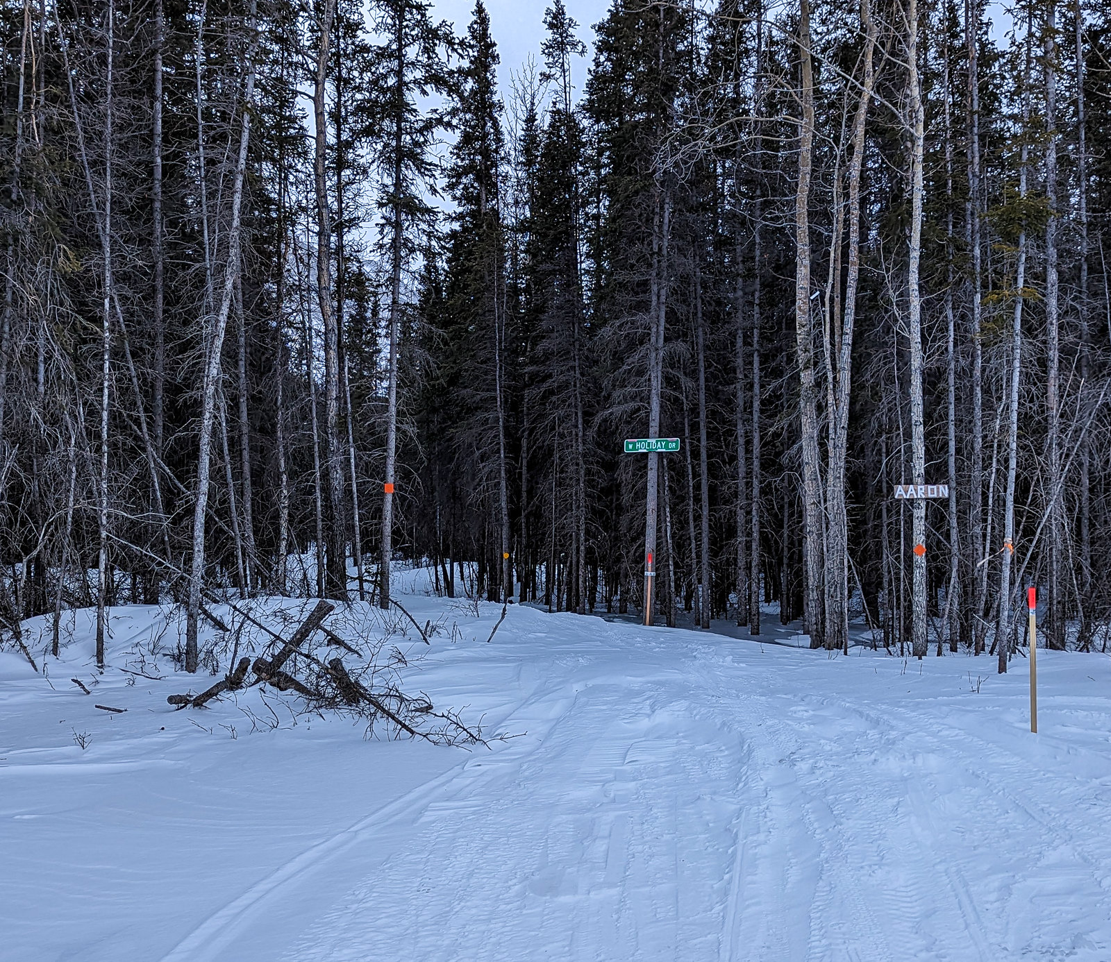
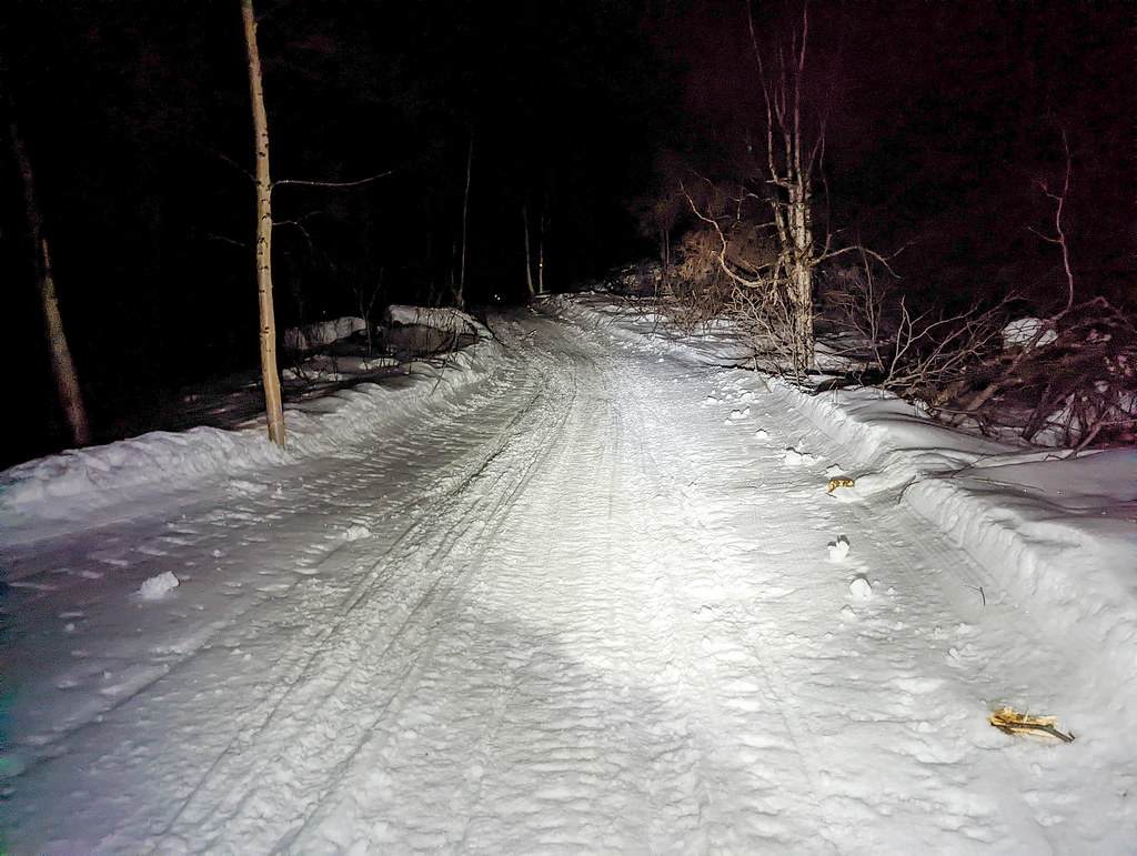
The evening before we drove to the start, having dinner at Fast Eddies in Tok, then hung out with everyone before hitting the stack. I joked a bit with someone parked near me about moving my car so it was behind his to absorb the bullets, as we were in a gravel pit that looked like it was a shooting range sometimes. In the morning someone drove by really early, and in the morning there was a sign left up, facing outwards. I walked around and was amused to see my joke had come true – it said: “4th of July Trap Shoot No Parking”.
So after moving our cars, everyone headed out.
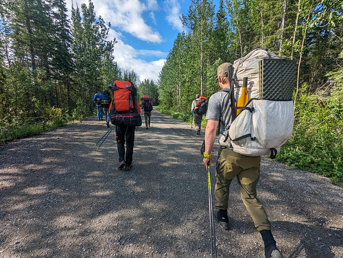
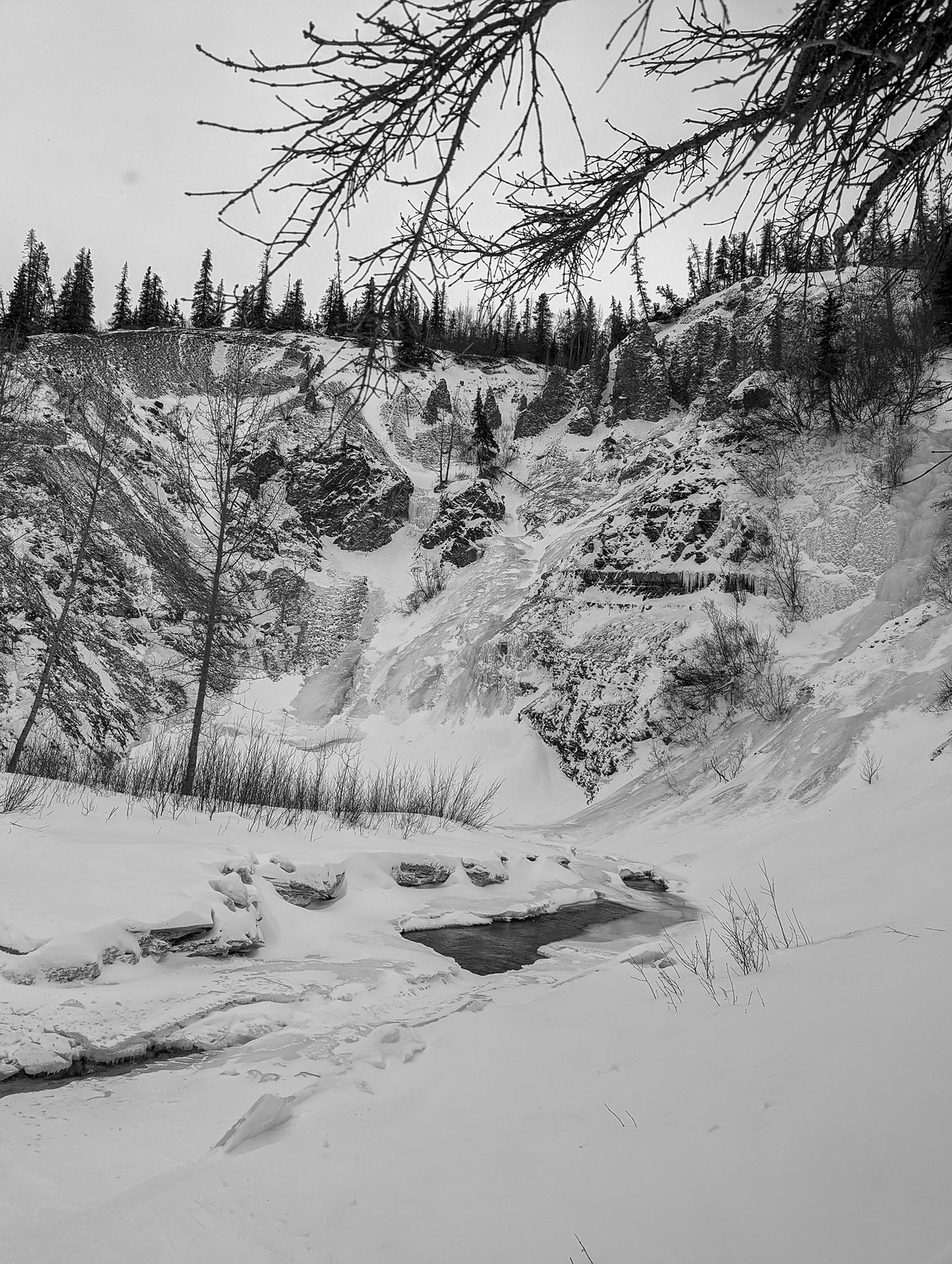
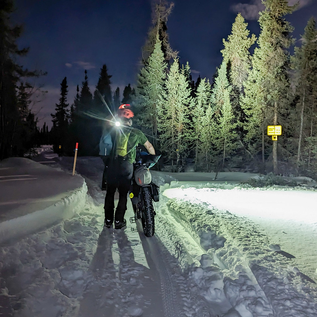
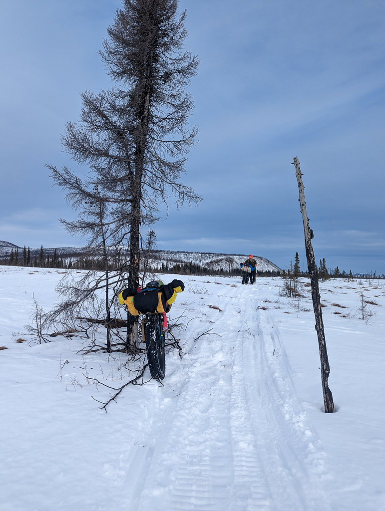
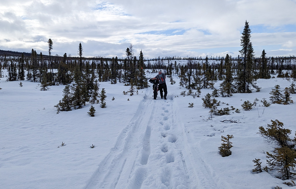
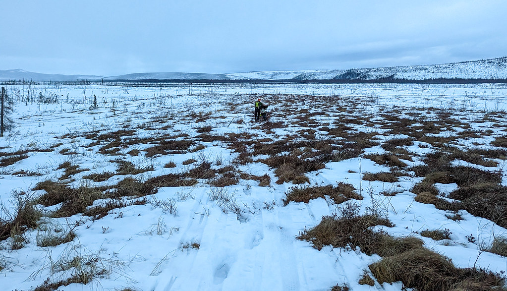
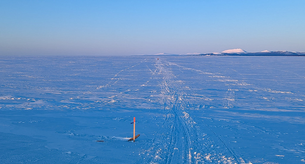
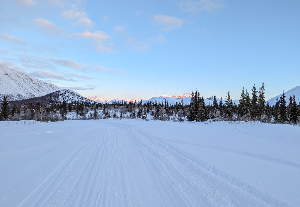
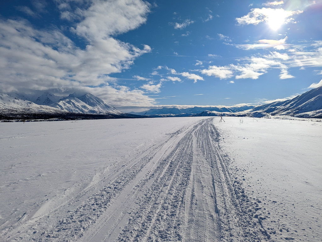
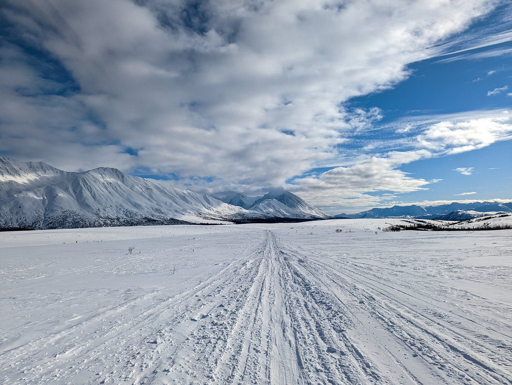
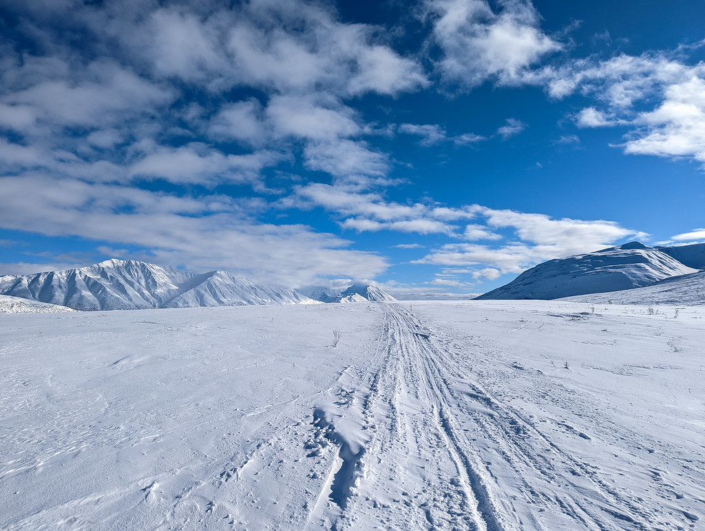
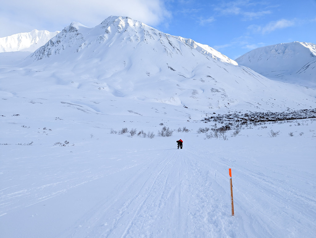
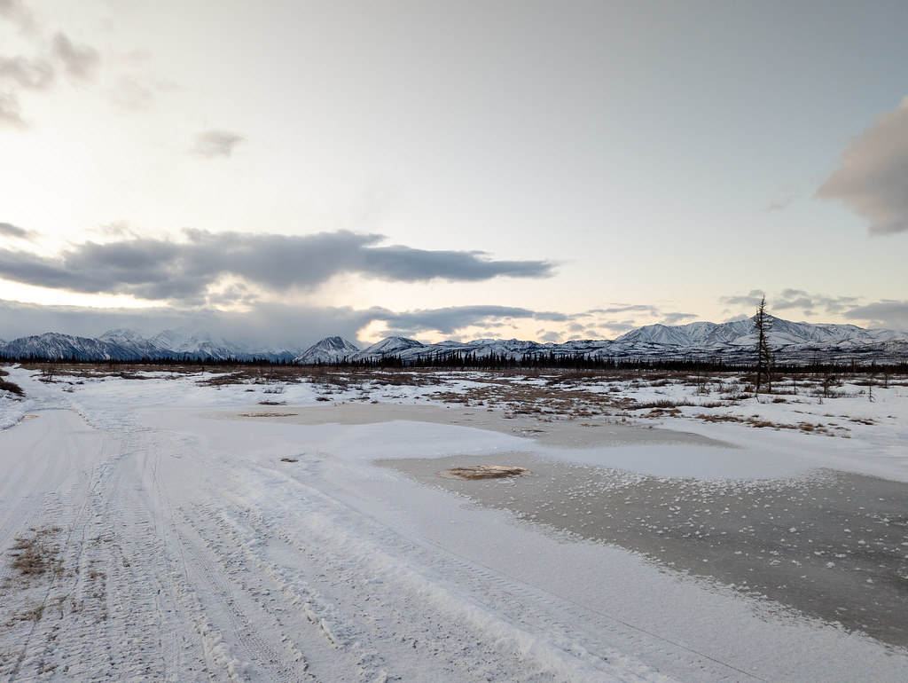
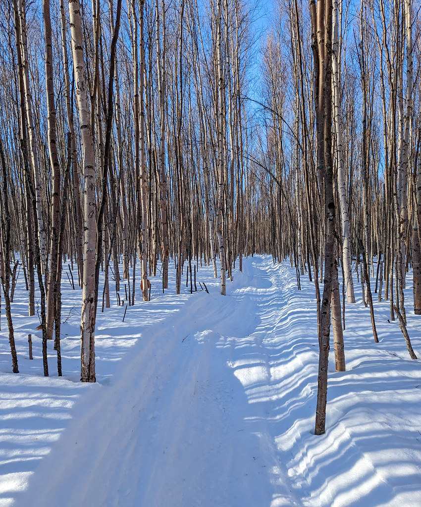
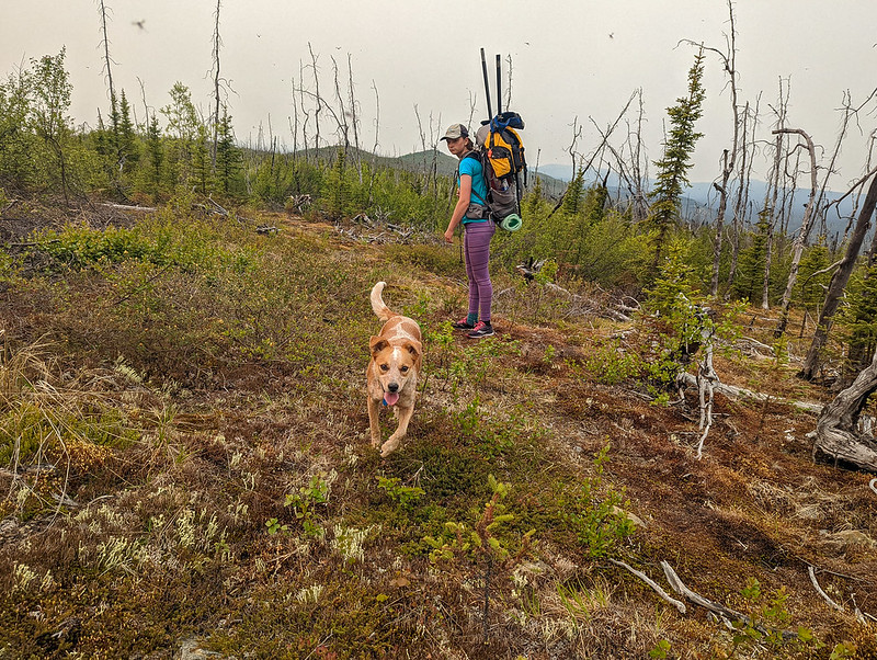
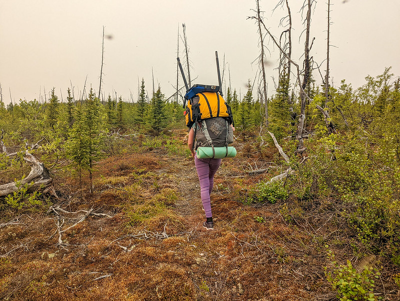
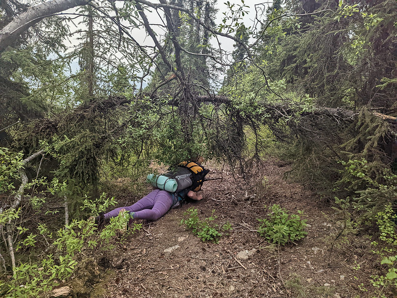
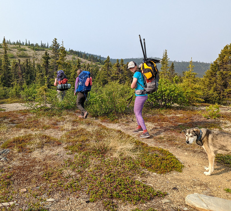
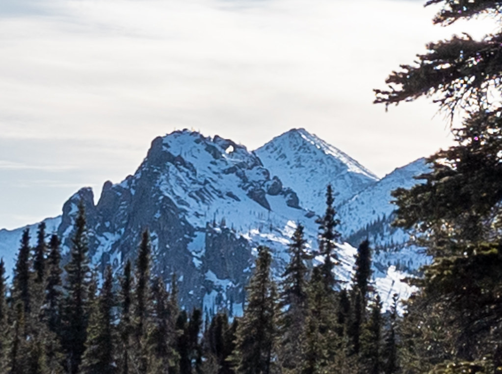
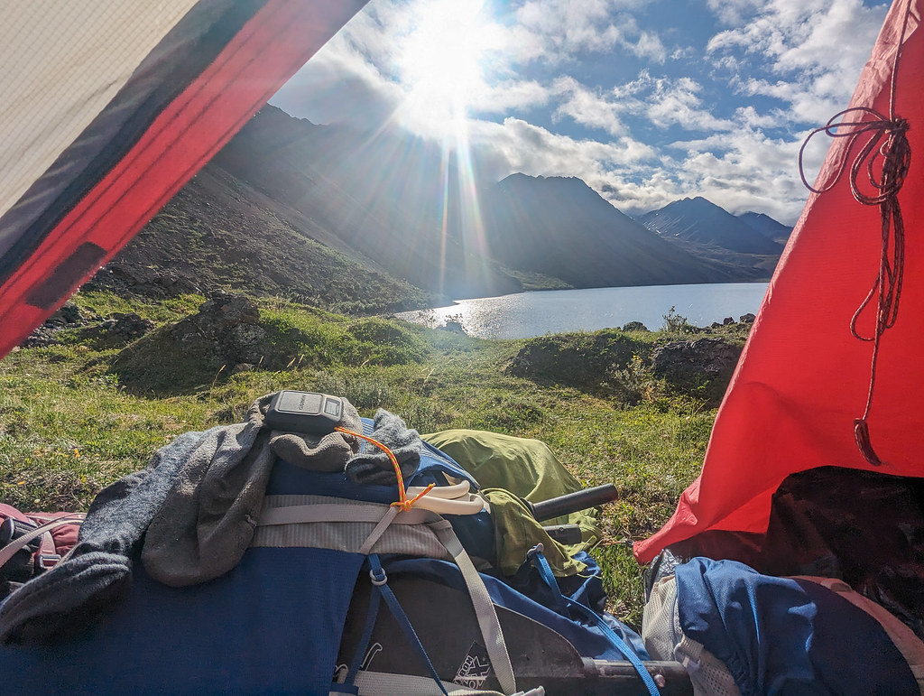
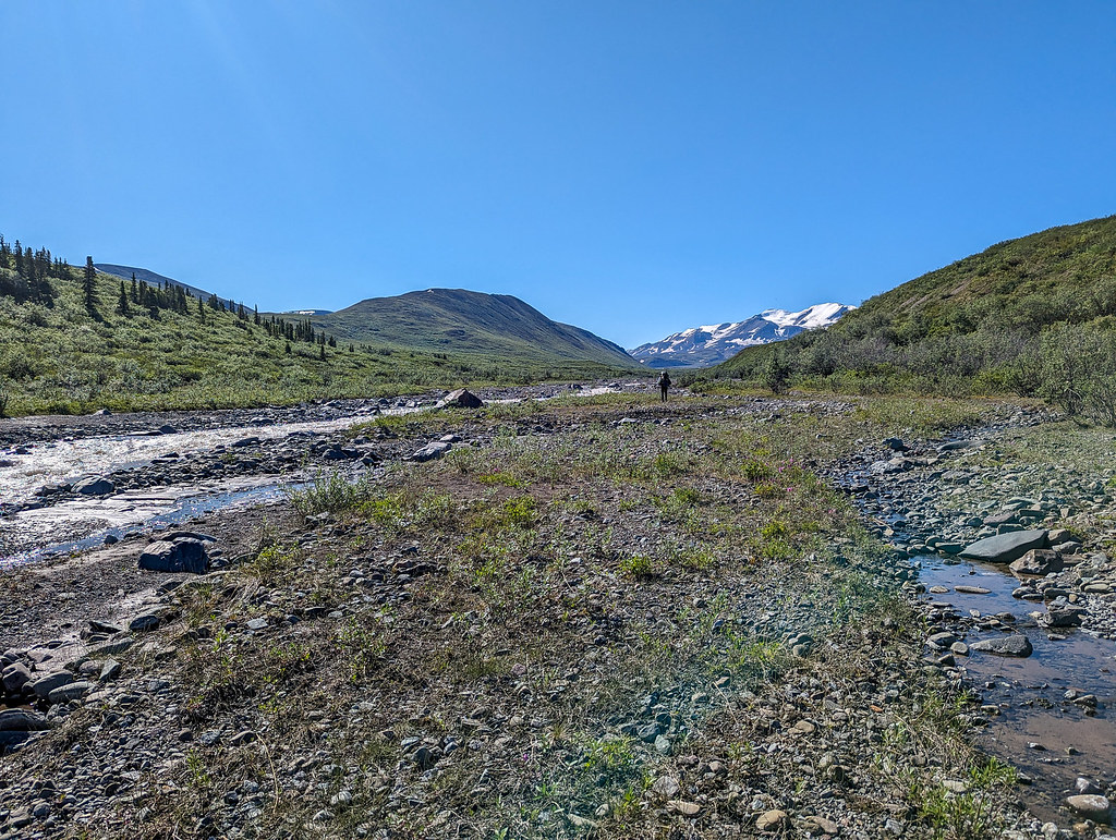
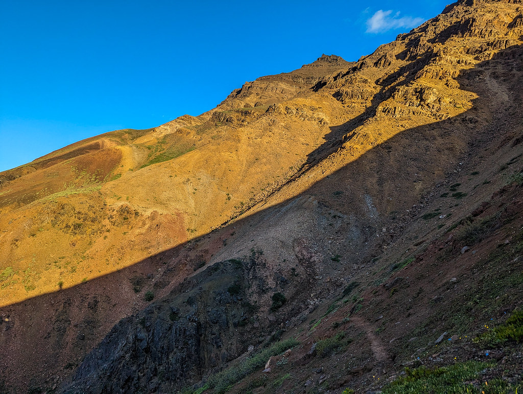
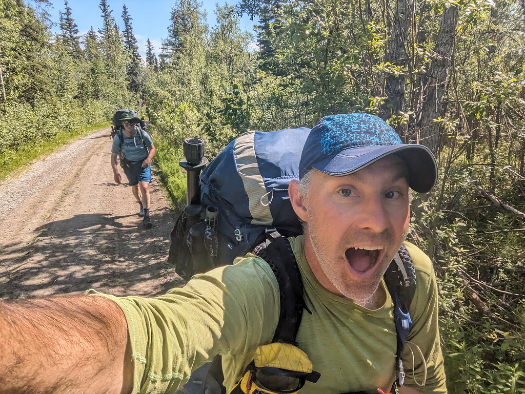
Peter and I zoomed along on the ATV trails at the start. I was full of nervous energy and talked a bit too much to folks nearby. The ATV trails eventually ended (or really, we lost them) in a river floodplain. After several hours of crossing back and forth, we found the ATV trail again, and we followed it up to the first pass, and we camped at the base of the second pass, with great views of Noyes Mountain.


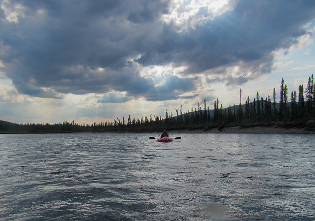
Peter is a big appreciator of mountains and thus began the first of many brief mountain enjoyment stops where Peter would stop, look around and say “Mountain!” and point at a new mountain. Or a mountain seen from a different angle or side.. The next day we zoomed up and over the pass, then headed down Platnum Creek to enjoy the great walking. Some folks right ahead Peter and I, Caleb and Nate, put in right away, but I suggested waiting a while to see if it was actually worth floating.. A few miles later the group passed us, so we put in. Platinum Creek was a bit of a mess – it wasn’t challenging but there was lots of wood with very few eddies, so there was quite a bit of panicked jumping in and out of the boat. I tried to use my whistle to signal to Peter when to get out, but like an idiot, mine was rigged such I couldn’t keep it in my mouth without using a hand or bending down – a mistake. Fortunately, we were just far enough behind Nate and Caleb that we could often tell there was something coming up when we could see them out of their boats. Apparently at the pre-race gathering in Anchorage everyone (that is everyone but Jay and Peter from Fairbanks, hah) had been warned that Platnum Creek was a woody mess, but no one had mentioned it to us. They also said at that same gathering that everyone should have a dry suit. I almost didn’t bring mine. Those Anchorage people, hah!
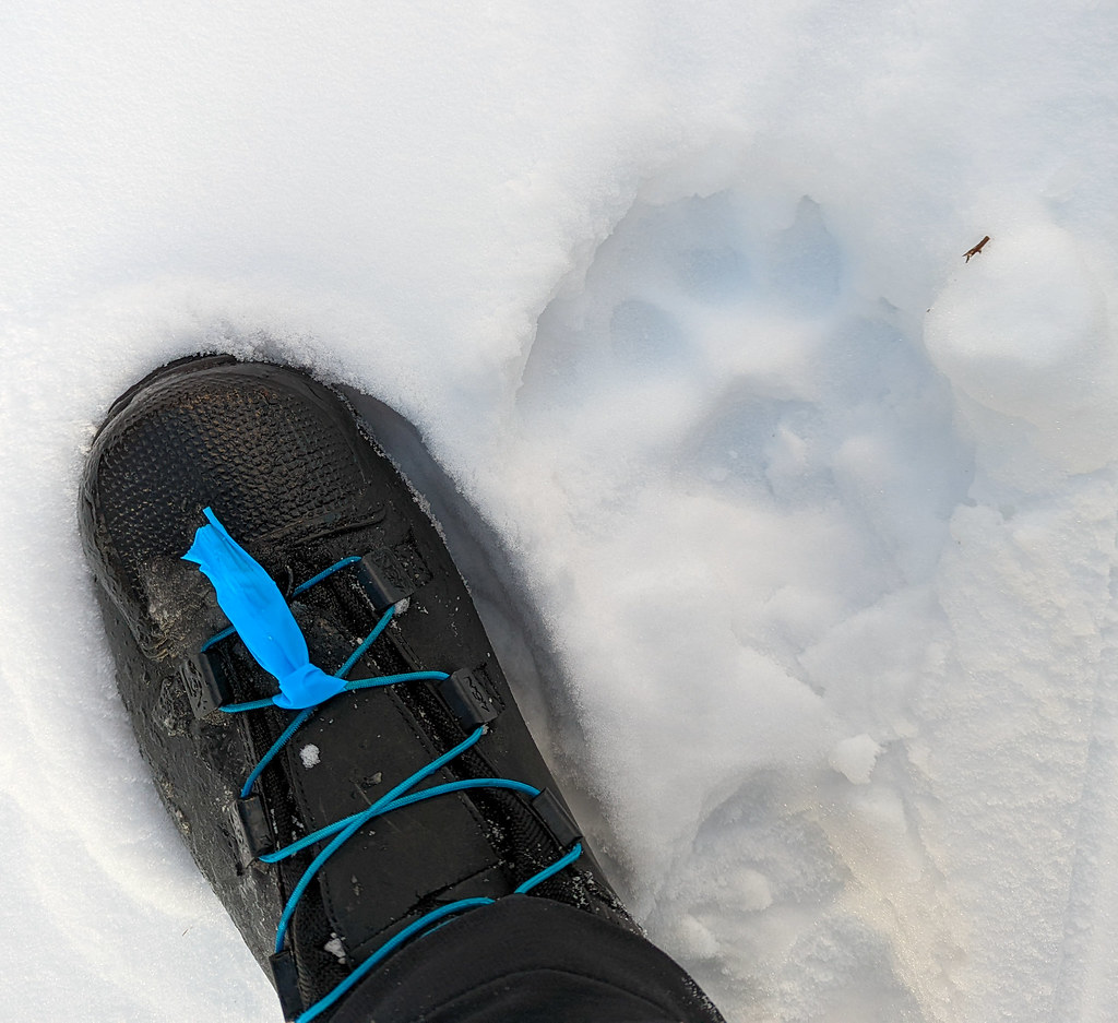
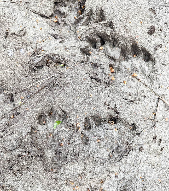
Near the confluence with the Nebesna River, we came around a corner and a very large lynx was looking downstream. Just after that Christof stuck his head out of the woods and said he had flipped avoiding a sweeper and lost his paddle. Fortunately, he found it in a strainer and had given up on floating. He seemed a bit shaken up, but ok, so we kept on. The creek widened out a bunch and then we came out on the big, wide Nebesna. We worked our way across the Nebesna, taking out at Cooper Creek, then starting our walk up to the next pass.

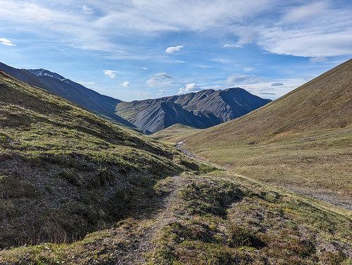
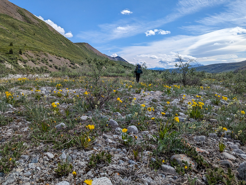
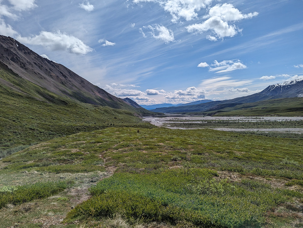
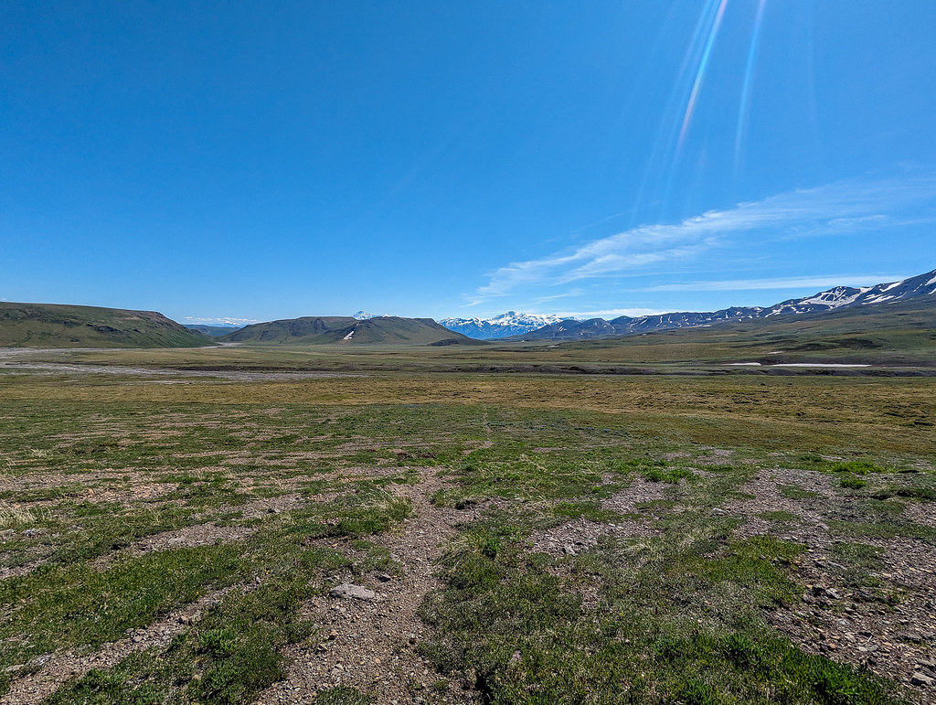
Cooper is a wide flood plane that necks down to a narrow valley, with many crossings.

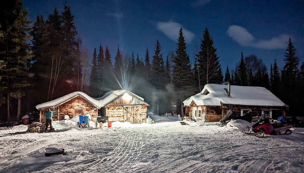
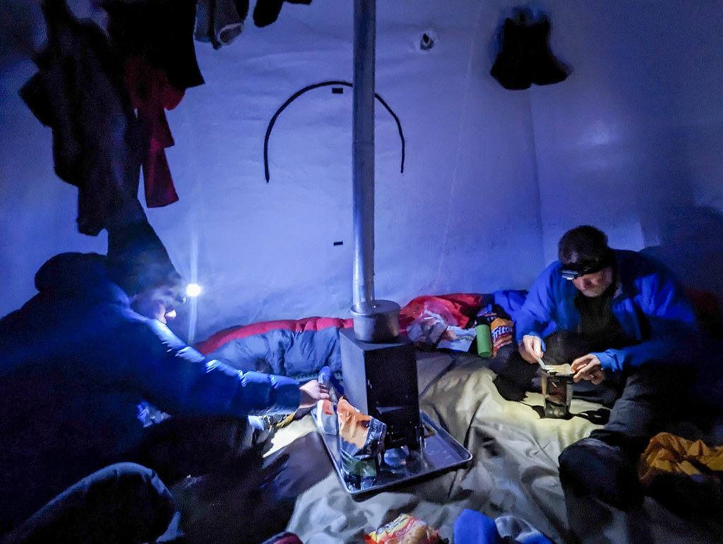
Eventually, we turned off into a smaller creek, then up and over to Blue Lake where we spent the night.
 Best campsite ever – Blue Lake!
The next day it was down to Notch Creek, over the beautiful Cooper Pass, then down Notch.


Again I voted to just walk as Notch looked like pretty marginal floating, but after walking half the creek we put in, floating to near Cross Creek, where we hiked over to the Chisana River, stopping to inflate to cross. There was a set of fancy Gossamer Gear poles someone left there on the bank which I grabbed in case we caught up with whoever dropped them. So light, so fancy, I was sure someone was missing them! I also apparently left a few things including the fuel on the bank which Peter rescued (thanks Peter!). At Chisana we caught up with Christof again and chatted a bit, then walked a few more miles before hitting the sack.


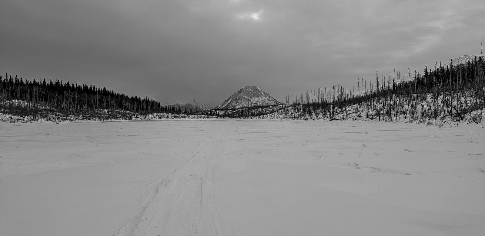
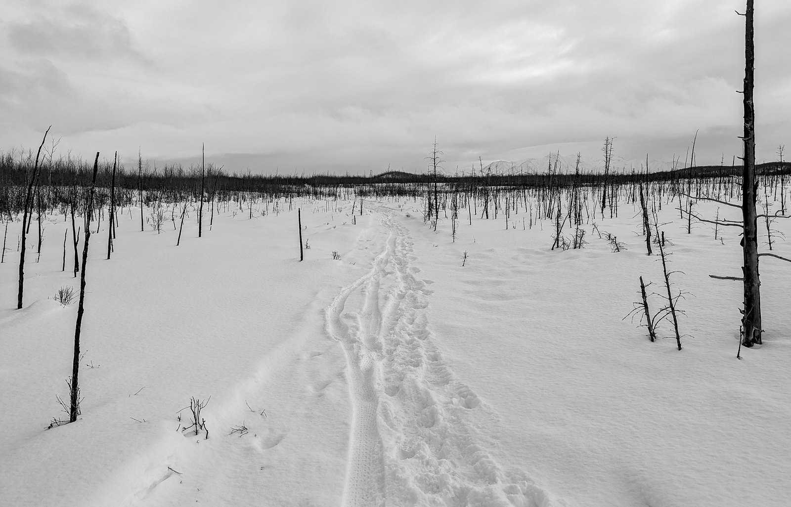
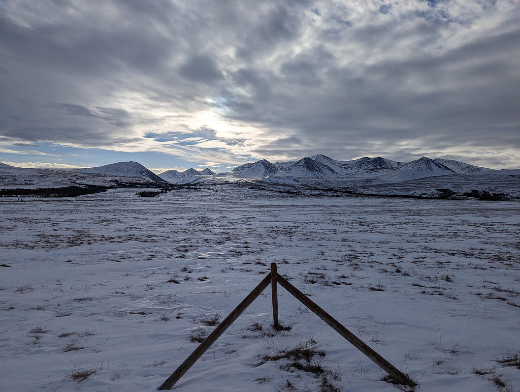
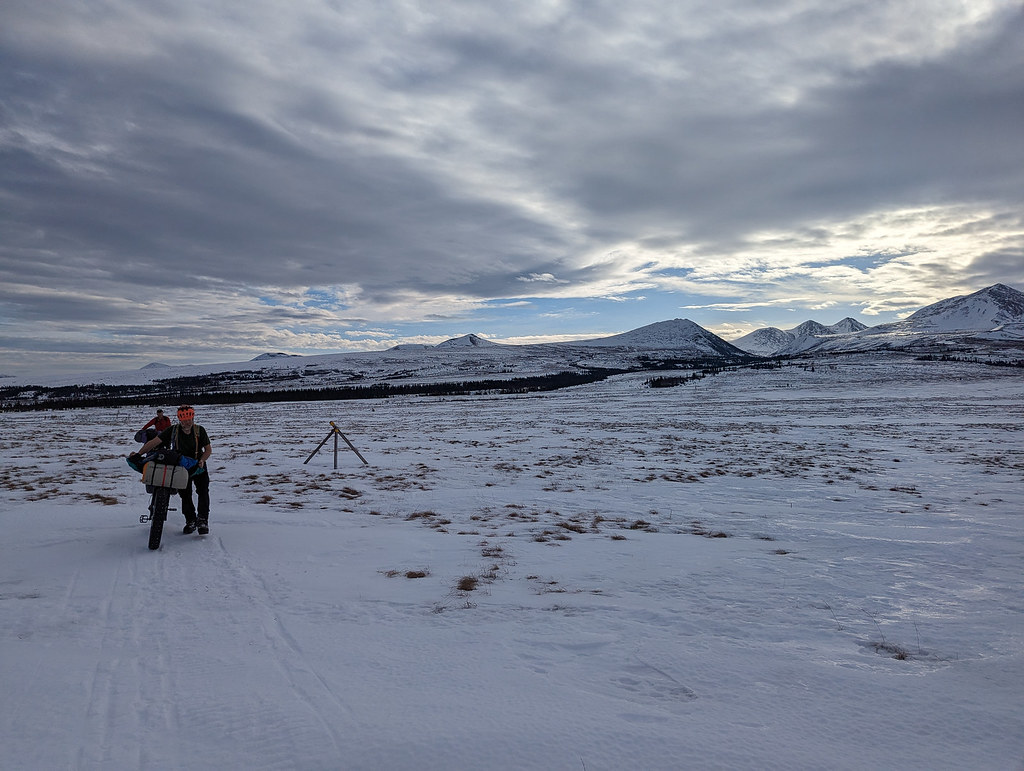
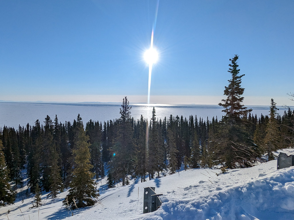
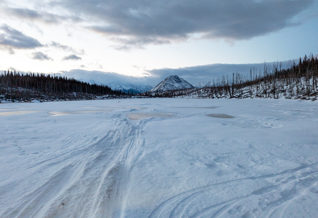
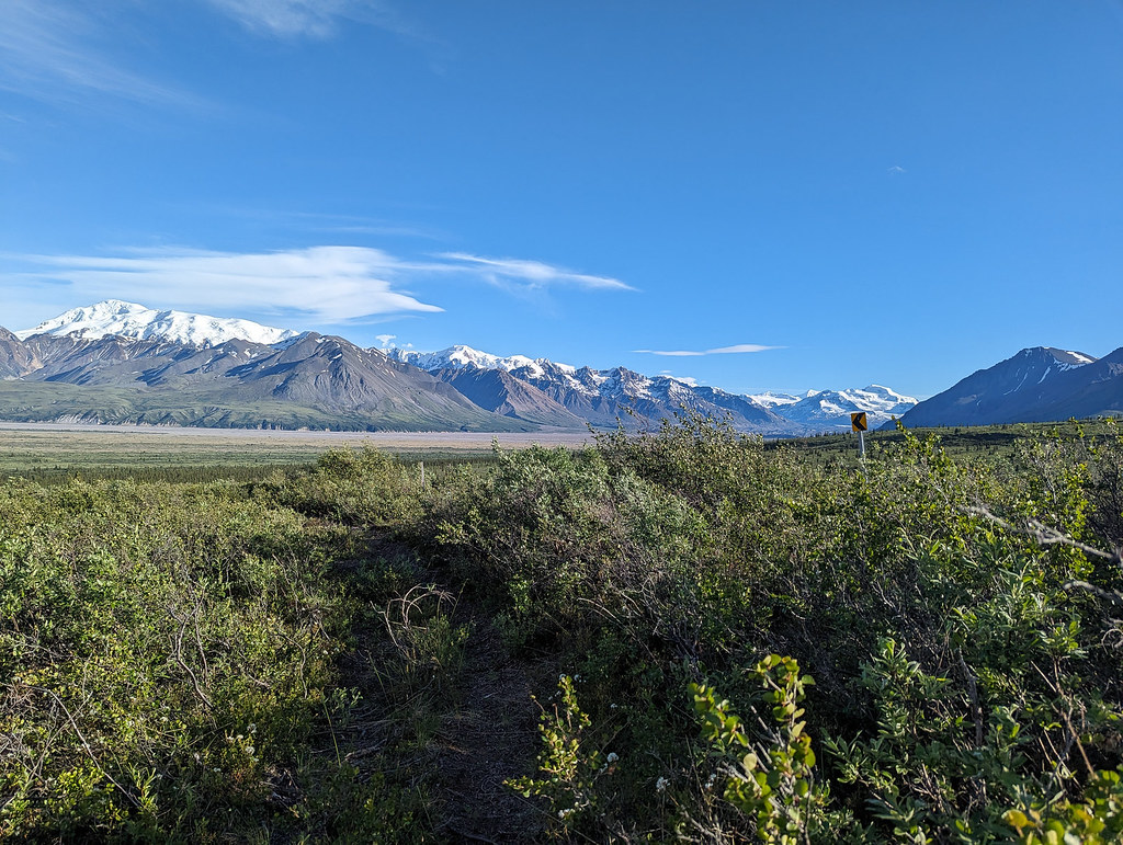
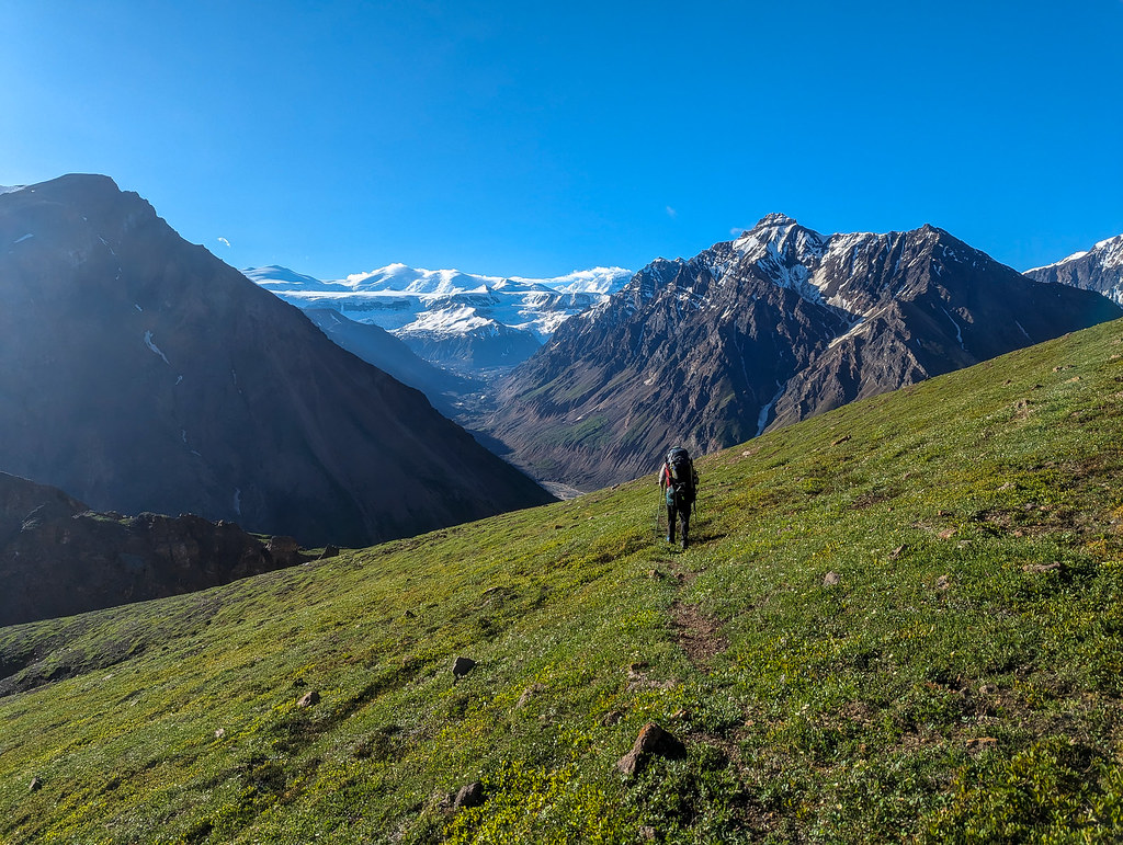
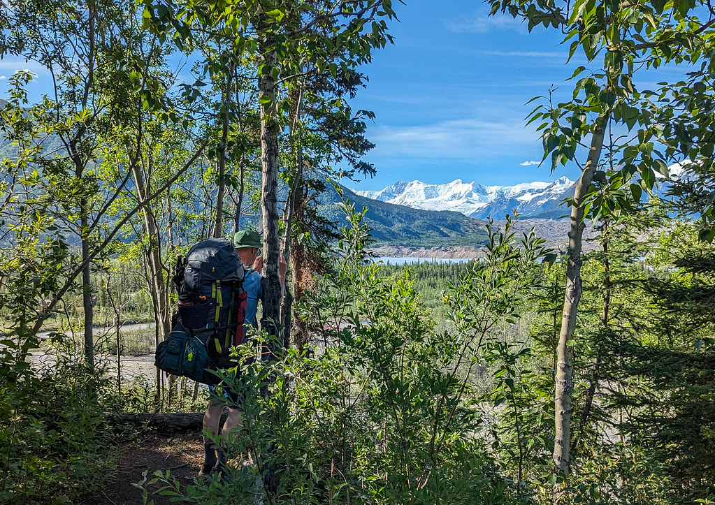
In the morning we headed up Geohenda to the Solo Flats, then over and down to the White River. Such a beautiful area!
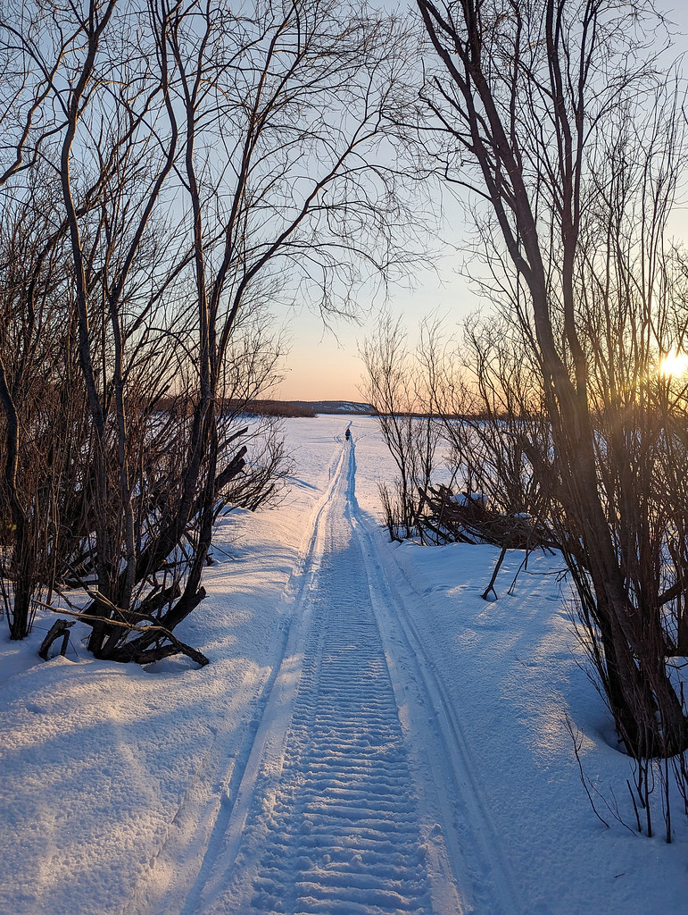
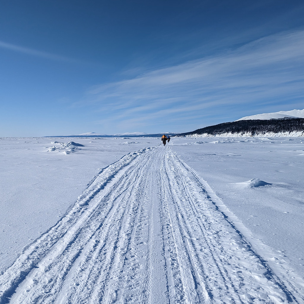
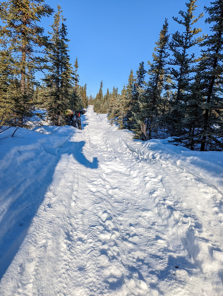
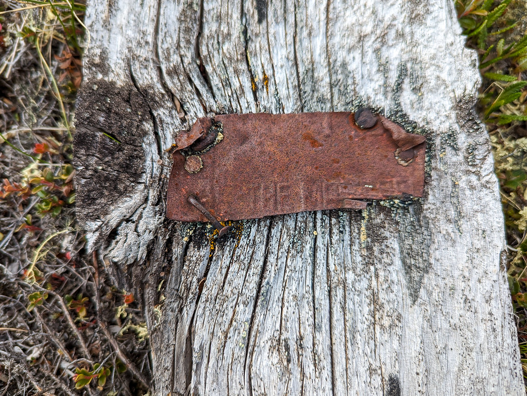
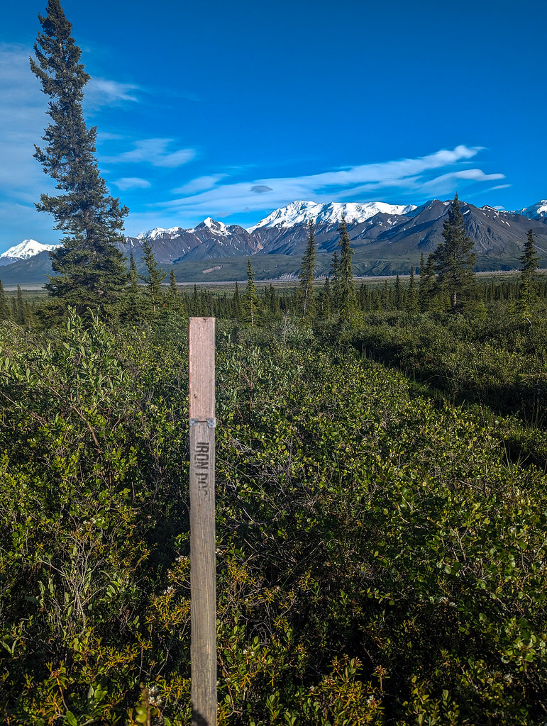
We enjoyed a few miles of ATV trails just before the White River, and the Solo Creek Guides had some fun with their signage. They even had an Iron Dog lath marker, which was super funny, given two mountain ranges separate us from the Iron Dog route.
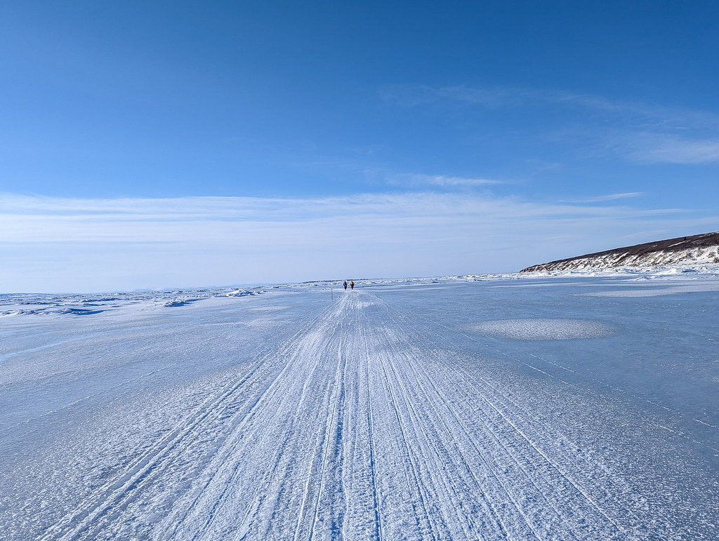
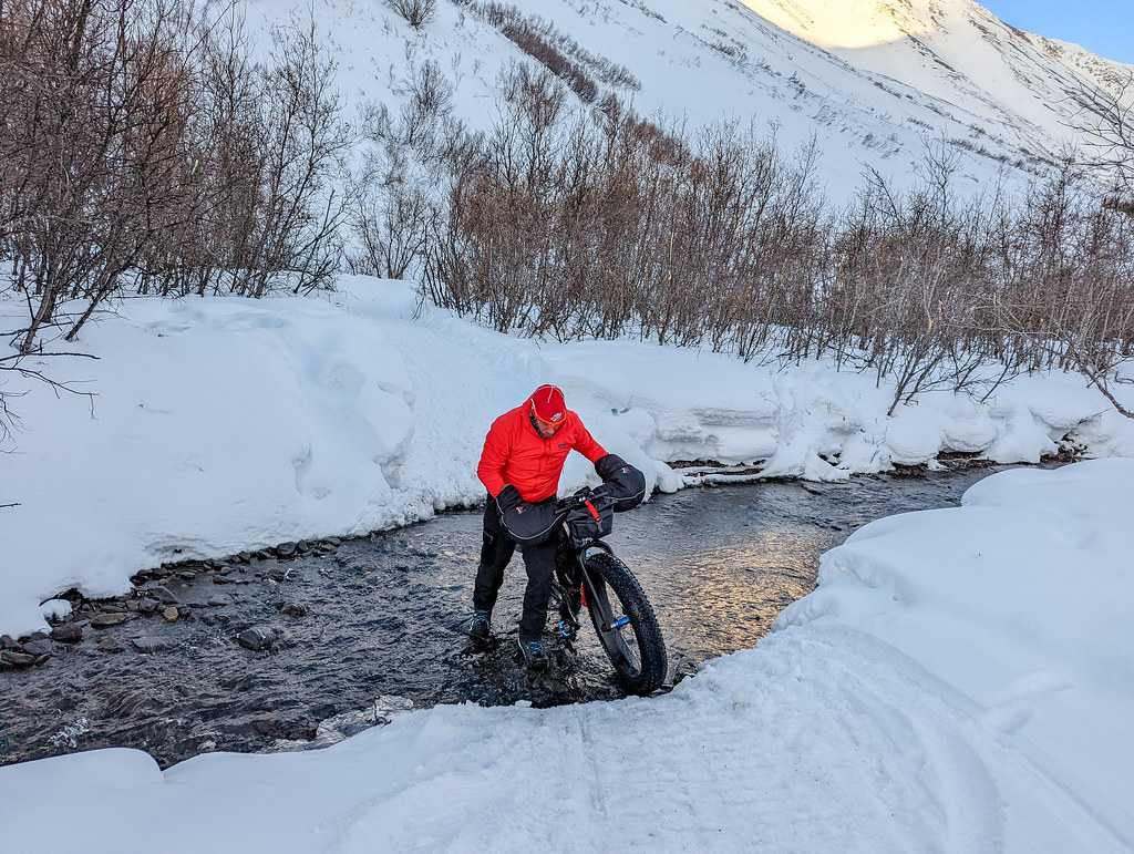
The weather had been sunny and hot, so the White River was raging. We could have inflated and crossed, but the current was moving fast, so we went downstream to find a more braided section, and crossed with Caleb and Nate, then camped on a little clear creek. In the morning it was up and across Flood Creek, which looked raging but wasn’t too bad, then along the old glacier remnants, then into Skoli, and onto the Goat Trail.


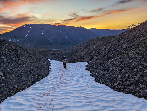
The Goat trail was a bit less trail-like than I remember, but the walking was mostly good. There was still a fair bit of snow up there though!


We pressed on, eventually camping right before the steep part of the Goat Trail. In the morning we did the iconic scree slopes of the Goat Trail, then headed down to the Chitistone.


The Chitistone was really moving, and while we could have blown up and crossed it, it would be been a bummer to miss the eddy on the other side, so we walked up in hopes it was possible to ford it where it braided out a bit where the glacier and creek came together.

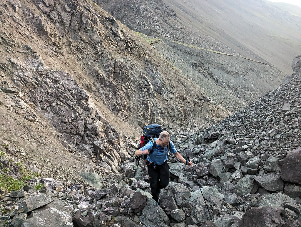
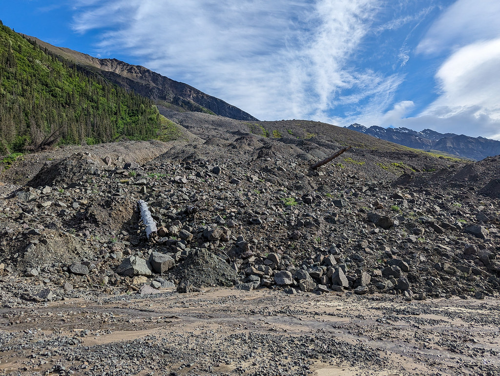
No dice, it was still raging, and much too deep to cross. So we wasted several hours inflating, crossing, and then crossing the glacial river, then finally getting all the way across and packed up. Next up hiking down the Chitistone to Glacier Creek. I remember this being a mess of alder swacking from my last visit but the walking was mostly great. There were two big landslides I didn’t remember. They are less landslides and more like the side of the mountain exploded.

Eventually, we reached Toby Creek, where we found Nate and Caleb waiting for the water to drop. The water was too high to cross, but we all expected it to drop overnight, so we went to bed.


A few hours later there was the cry of “BEAR, BEAR” and I shot out of the tent fully awake, just to realize there was a small black bear across the creek that also couldn’t cross, and it quickly moved on. From all the cries of “BEAR” I was expecting it to be in camp, trying to eat my food, hah! Shortly after that Luc, Alan, and Lee arrived, set up their mid, and went to sleep. The consensus from everyone was that instead of dropping Toby Creek was going up. Odd, I thought and went back to bed. I wasn’t too worried – if it was still high we could just inflate and take out at the next eddy, it would be fine. A few hours later Peter woke me up, saying the channel that everyone had been looking at was going up, but that was because the creek had rerouted itself, the rest of the channels were all a lot lower. So we packed up and the whole group of us crossed the creek and hiked down to Glacier Creek, where we put in and floated to May Creek Road.
The Chitistone seemed really high and had at least 5x times the volume than when I was here last time. Rocks were bouncing along the bottom and you could hear the near-constant sound of rocks bouncing off rocks in the upper sections. I led the group for the first section and ran the only section with any real white water, which looked fine, but as I moved through it, I realized they were way bigger than expected. Not a big deal, with nice clean eddy lines, so move around in it, just lots of water, and a mistake would be painful. So I hopped out and re-directed everyone to a cowardly side channel. After that, we stuck to all the lower-volume side channels and reached May Creek Road uneventfully. On the Nizna Luke, Lee, and Alan floated by in another channel, a mile or so before we took out. Nate and Caleb took off, and we didn’t see them again.
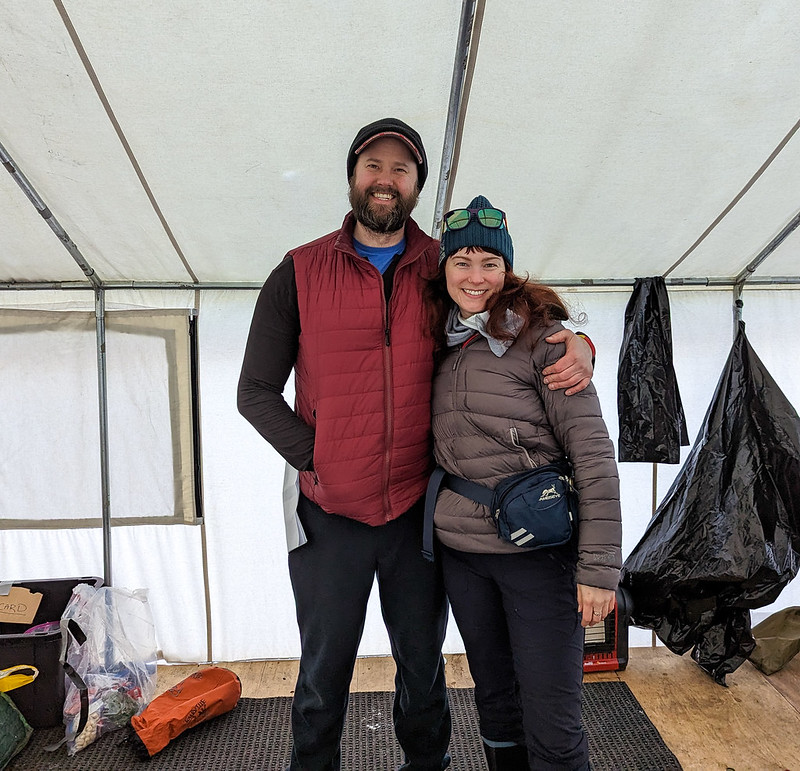
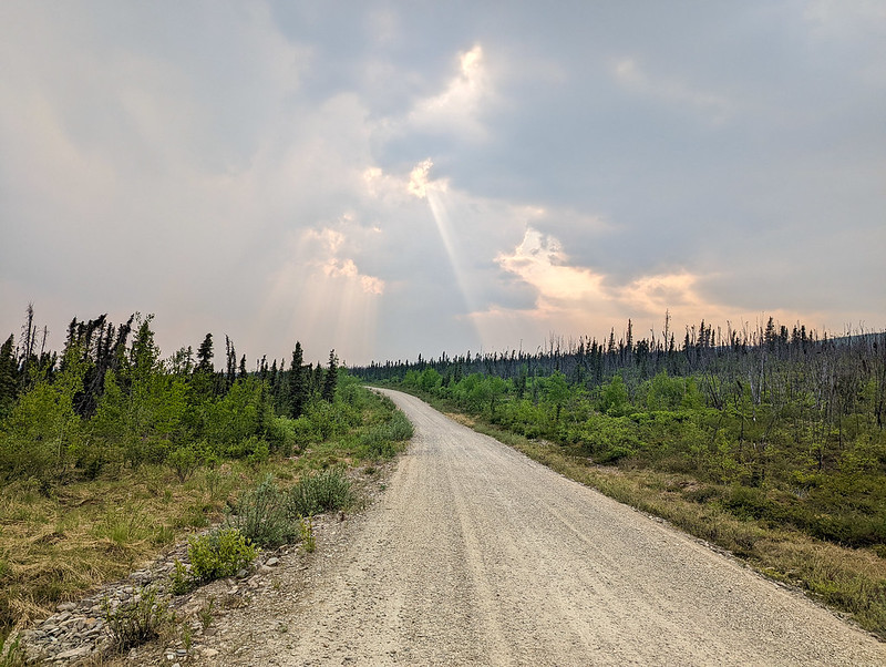
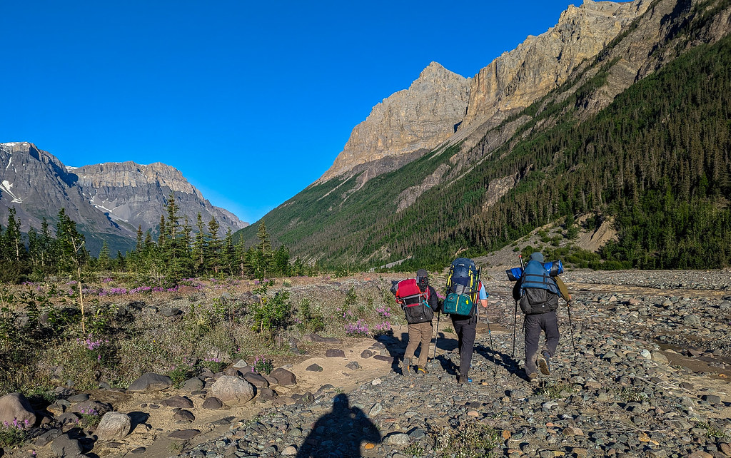
We finished after the 9 miles or so of road walking with a scenic walk through McCarthy and were met by Peter’s son Sam and his friend Jack – Yay. They soon had burritos cooking for us, and after that we walked back to town for ice cream, double yay!

I was so excited for ice cream that the lady serving it said to the other person staffing the store something about me being a little kid in Spanish, then in English told me I was just like a little kid because I was so excited. So I did a little dance for them to show my excitement, which caused them to break up laughing. The next day we drove to my car at the start, where I was excited to see it didn’t have any bullet holes in it, and made our separate ways back to Fairbanks.
Thanks for the company Peter, and for the ride Sam and Jack!
Julian C. has a great video here:
Christof T also has a great video:
Ben A has a great one too:
A few things I would do differently –
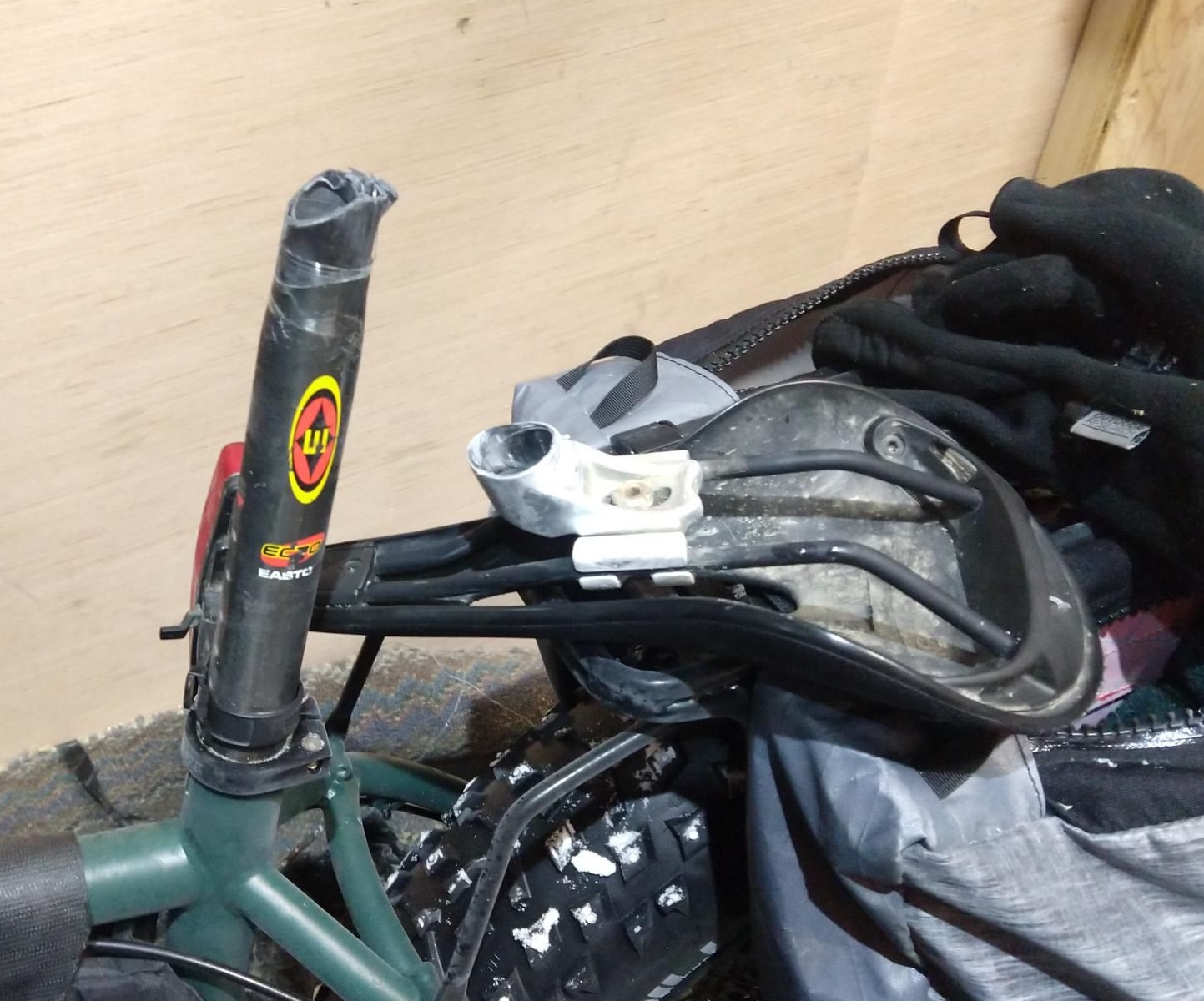
- I need to rig my whistle so I have to keep it in my mouth so I can signal hands-free. I had it setup way too short, so I had to either bend my head down or use my hand to hold it – a huge mistake.
- I need to get a bit more serious about getting better at packrafting.
- As a spur-of-the-last-minute gear choice, I had brought little mini gaters. Alas, they worked just well enough to show that gaters were a good idea, but not all that well. Next time I will bring mini-gaiters that actually stay on.
- I brought my really old, and lightish paddle with a floppy connector. I really regretted that on the chitistone – I need to not take that paddle on trips with actual white waters, it is either going to break, fall apart, or do both at the same time.
- I really, really should have brought a helmet. Listening to the rocks bang around under us on the Nizina and the Chitistone was pretty terrifying. Next time I need to bring a helmet!!
- I need to spend a lot more time in class III water to get comfortable. I need to find some white water friends in anchorage I can float with more often.
- My packrafts cargo fly’s zipper is really having trouble closing. I need to figure out what is wrong or get it replaced, it is a huge pain and takes forever. I have cleaned and lubed the daylight out of it, and it still is a pain in the butt, with lots of separation issues.
A few things that worked really well:
- We had a hot freeze-dried meal every night. That rocked, I would totally do that again. Maybe also have one mid-day.
- I bought a lightish dry suit from REI using a coupon – the best $500 I have ever spent. It is well under 2 lbs and adds a large comfort and safety factor. Love it!
- I brought an extra day’s worth of food and ate most of it. Including two nearly inedible Range Bars. One I had picked up in McGrath and took it to Nome with me. They were like eating coffee grounds combined with dirt and chocolate. Not enjoyable, but space efficient. Otherwise, I was pretty happy with my food choices. Peter less so, he had stomach issues most of the way.
- We used a tent of Peters, an MSR Hubba Hubba 2. It was surprisingly light for a “normal” tent, and while we could have saved some weight with something specialized, it was pretty roomy and convenient.
- Taking May Creek Road, while boring, is faster. We walked pretty slowly and did a bit of dinking around and still finished within 4 minutes of Luc, Alan, and Lee who took the Nizina. If we had hustled we would have beat them.
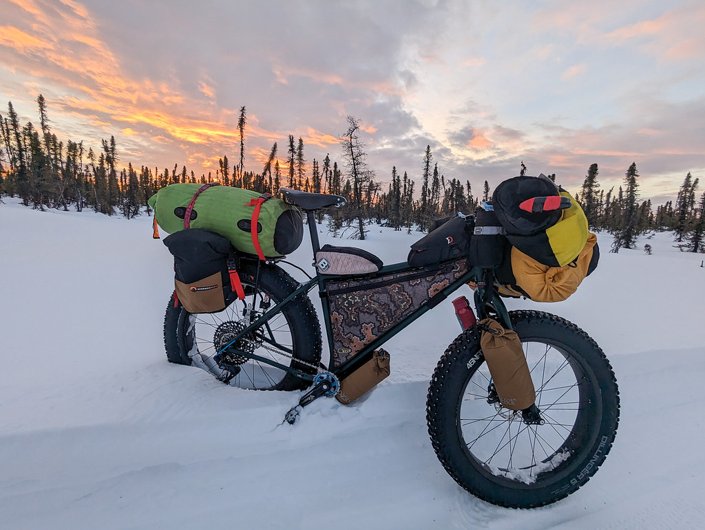
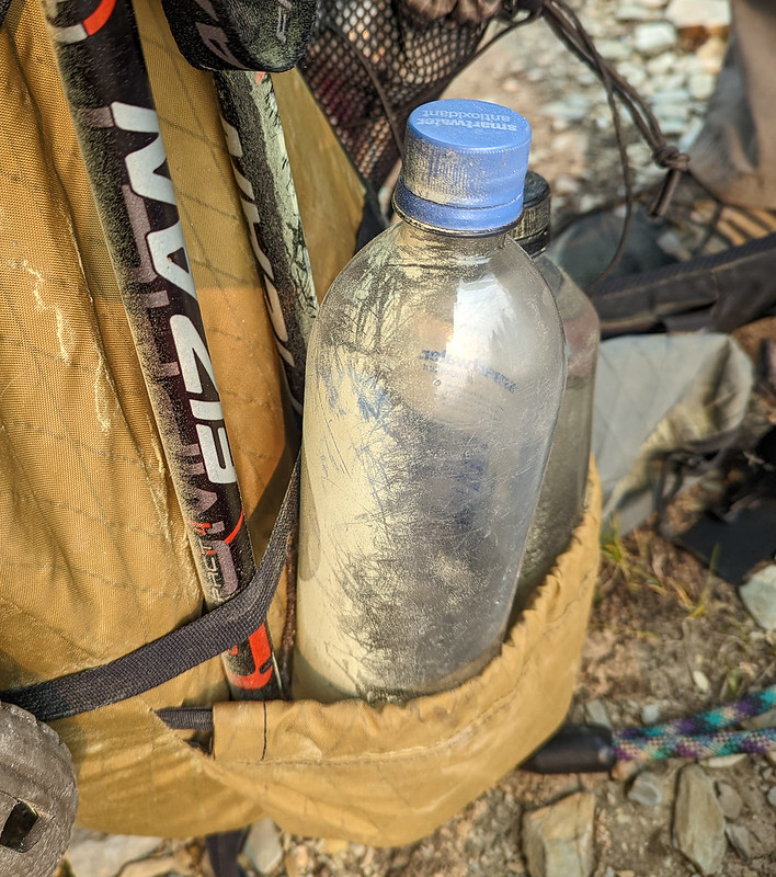
- I got an old Osprey Exos pack off REIs used gear site as a spur-of-the-moment replacement for my HMG pack after it became clear that a Seek Outside pack would take too long to get to me. I am super happy with that pack and am now questioning these small niche brands now. I like the design of my HMG, but I don’t like how floppy it is, and how hard it is to get it loaded so it isn’t moving around a lot. On really long days it takes a toll on the stabilizing mussels in my upper body. The Osprey pack was much, much nicer to carry – the best $110 I have ever spent! I wish Osprey would make packs out of XPac or something similar that is waterproof or at least didn’t absorb water rather than the same fabric they used 30 years ago. I might still try getting a Seek Outside flight or some other pack, but I am less convinced at this point that the normal options are not better. In particular, the side pockets are great – I was taking my water bottle in and out constantly, and never had any issues.
I will likely add more to this when I get a chance.
Our route can be found here: https://caltopo.com/m/EVJ7K