Several years ago a group of us packrafted and hiked a loop in the White Mountains. That trip was very fun, however I had been meaning to do something similar again, this time taking a slightly different route and hiking up though the Limestone Jags, over Cache Mountain, and back to the Nome Creek put-in. So, on a fine summer weekend Seth, Tom, and I headed off to Nome Creek, with Seth’s dogs Dorsel and Echo in tow.
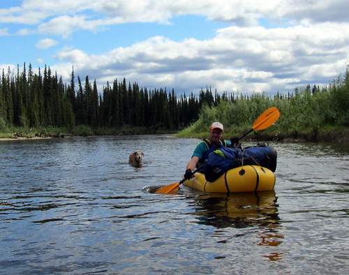
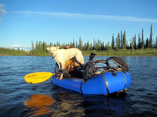
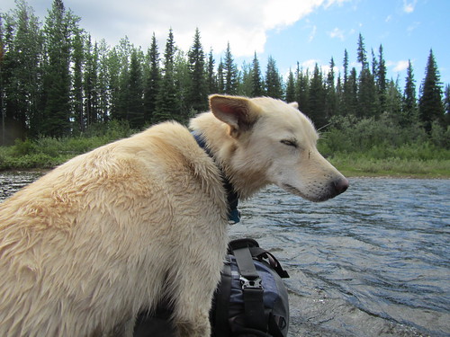
The float down Beaver Creek was uneventful, scenic and mellow. Watching the dog’s antics added a extra bit of fun to the float. Echo’s lack of excitement about swimming or running along the bank was almost comical, as was her complete lack of excitement about getting a ride in Seth’s boat.
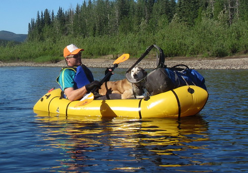
Eventually Echo was convinced to climb into Seth’s packraft and hitch a ride, though she was very unexcited about it.
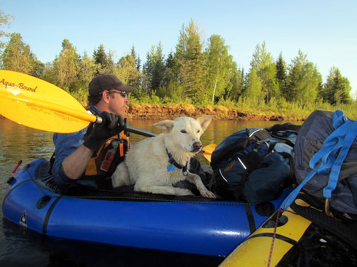
Dorsel on the other hand, had a great time, running along the bank, jumping though the bushes, and bouncing around like a rubber ball thrown by a nine year old. Eventually Dorsel started begging for rides as she got sick of swimming from bank to bank to find good doggie walking or crossing sloughs. Eventually she got perhaps a bit too comfortable, jumping in and out of the boats whenever her little A.D.D. doggy brain decided the time was right.
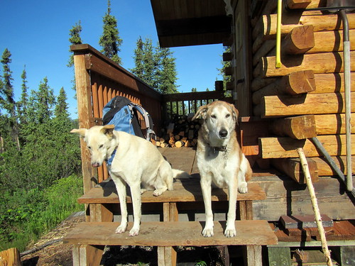
Nothing bad, just added a extra topping of fun to the float. Our day ended at Borealis cabin, where we crashed for the night.
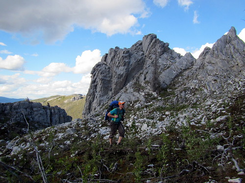
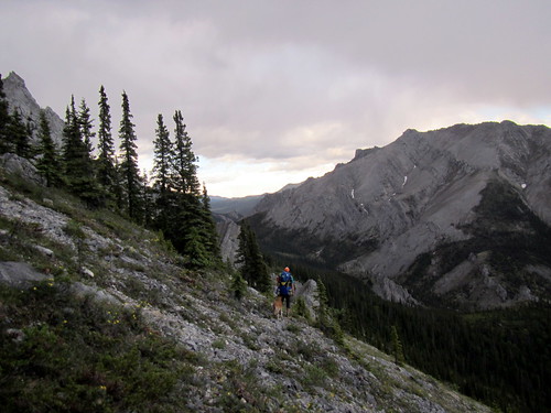
The next day we floated down to near where Fossil Gap trail crosses Beaver Creek, and hiked up into the Jags.
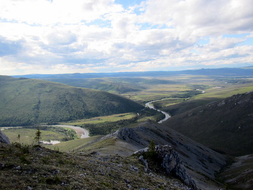
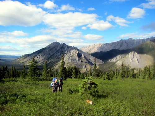
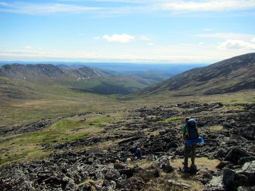
The hiking was fantastic, and the views amazing.
If we had an extra day, spending extra time here would have been worthwhile,
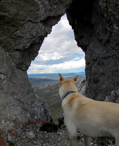
as there are lots of interesting rock formations to explore.
We camped near where the Jags look out over the winter trail between Windy Gap and Caribou Bluff.
The next day we crossed Fossil Creek and hiked up to Cache Mt.
Where we crossed Fossil Creek there was a huge log jam.
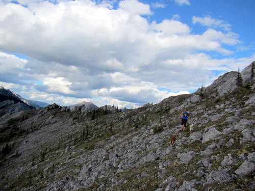
We bailed on our initial plan of hiking up and over Cache Mt as there was still a lot of snow on the ridge we planned on hiking up, and instead crossed over a connected side ridge, and hike down to the winter trail and then on to Cache Mountain Cabin.
It was great to see the cabin in the summer, and the winter trail wasn’t nearly as bad as I expected – minimal mud, though a bit wet.
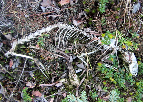
Outside the cabin there was the normal level of random junk that is hidden from the winter visitors by a thick layer of snow – dog booties, etc, and the entire skeleton of what appeared to be a martin.
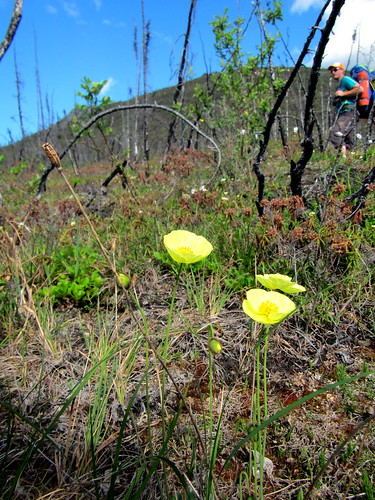
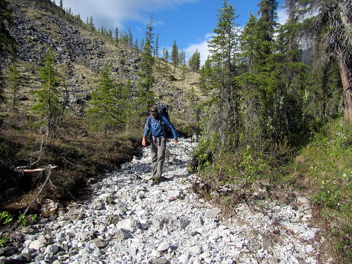
The next day we headed across obrien creek. I had read online there was great game trails heading down the creeks to beaver creek, but we didn’t see any. The hiking though the burn was fantastic though – no brush, fairly good footing, and great walking. A few hours of hiking up and over two small ridges had us back at the intersection of Nome and Beaver Creek, and we started following Nome Creek back up to the put-in.
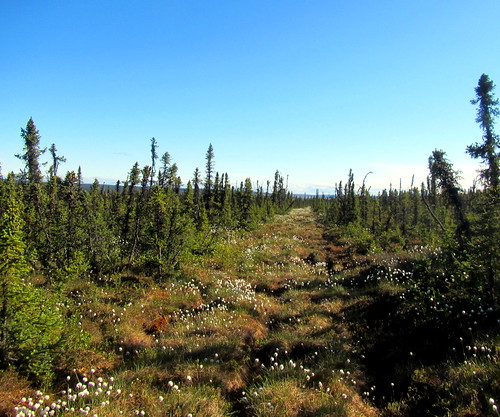
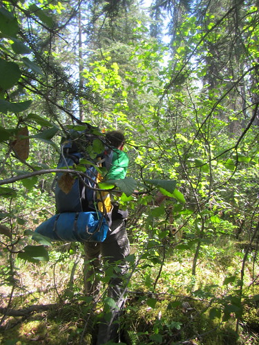
We got turned around a bit hiking along Nome Creek in the big trees, but eventually we found the game trails following the creek and enjoyed fast walking back to my truck.
This trip reminded me how much I enjoy the Whites – it is close to town, and yet there is a huge area that doesn’t see much use, with lots of interesting places to explore.
During the trip, Seth and I talked a bunch about turning some variation on this loop into a longer, hiking only trail, connecting it to the Pinnel Mountain trail, and create a route from Eagle Summit to Wickersham Dome. That seems like it would be a fantastic trail, heading from Eagle Summit, over to 12 mile Summit via the Pinnel Mountain Trail, then taking the ridge over to the Mount Prindle area, then the ridges (or worse case Nome Creek Road) over to the Richards Cabin area, then on to Cache Mt divide, over to the Caribou Bluff via the jags, and finally taking the ridge abutting big bend over to Borealis and finishing on the Summit Trail. This has the potential to be a world class 100 (ish) mile trail, hitting all the highlights. Maybe someday it would happen.
Thanks for joining me Tom and Seth!
Seth’s writeup on the trip can be found here (he takes much better photos!).
Details on our route can be found on CalTopo here and more photos here.
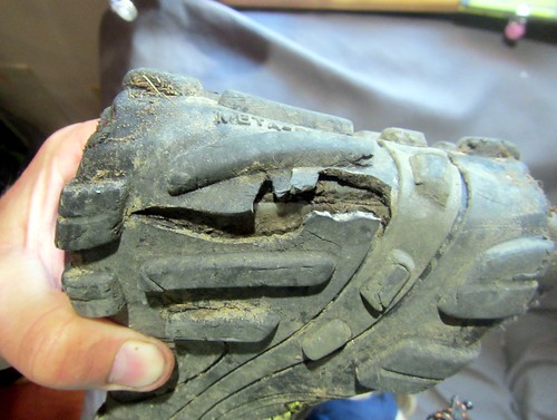
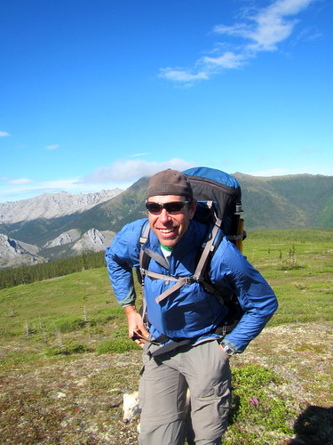
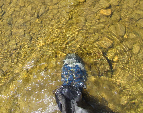
On a random gear note, my shoes exploded half way into the trip, with the sole splitting completely in half. I was a bit worried that a stick would poke though and jab me in the foot, but fortunately nothing made it though. A bummer – I really liked the fit and feel of these inov8 shoes!
Tags: beaver creek, borealis, cache mt cabin, packrafting, white mountains
The nome creek guage was reading 2.79 , and it was a 9-10 hour float.
Reference Url ->
http://aprfc.arh.noaa.gov/php/rivobs/searchHGyear.php?lid=NOCA2&syear=2015&eyear=2015&smonth=&emonth=&csv=no
Fixed map – apparently caltopo switched to https only. Duh!