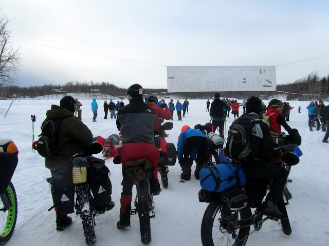
This is part II of my writeup of my 2013 ” Iditarod Trail Invitational race”:http://www.alaskaultrasport.com/alaska_ultra_home_page.html or the ITI as folks call it – part one can be found “here”:http://yak.spruceboy.net/2013/03/iti-2013-knik-to-puntila.html .
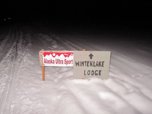
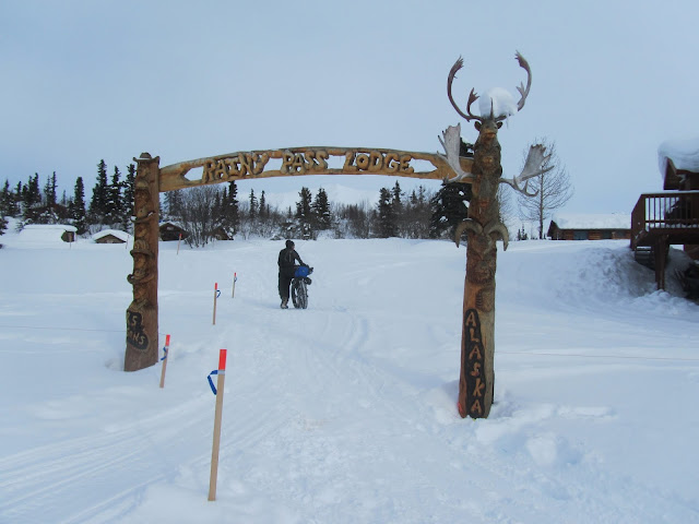
We left off last time at Checkpoint number four at Puntila Lake and “Rainy Pass Lodge”http://www.theperrinsrainypasslodge.com/ . Eric and I left Rainy Pass at about 6pm after getting a hour or two of sleep.

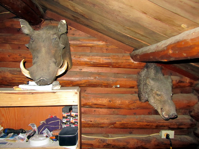
The cabin at Puntila we stayed at had a lot of character. I was particularly amused by the heads mounted on the walls just over the beds.
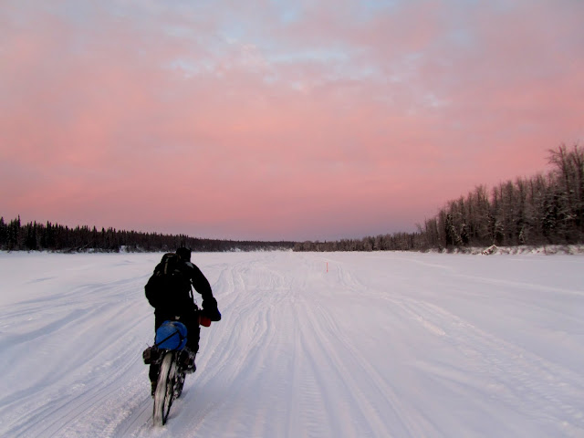
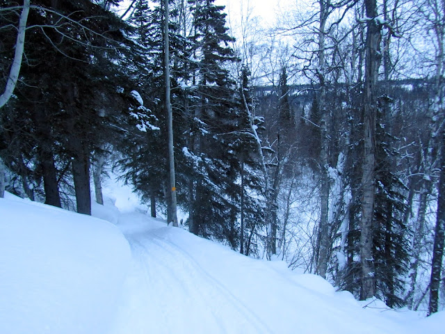
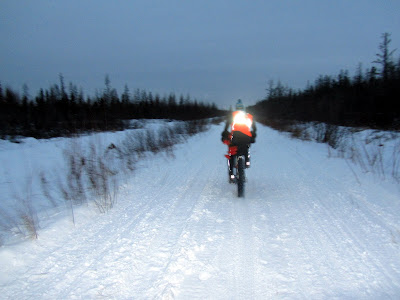
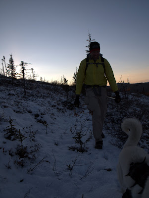
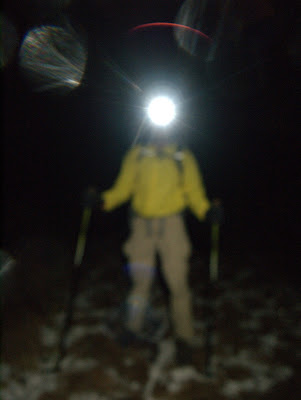
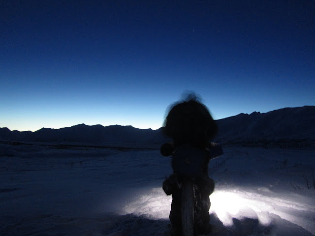
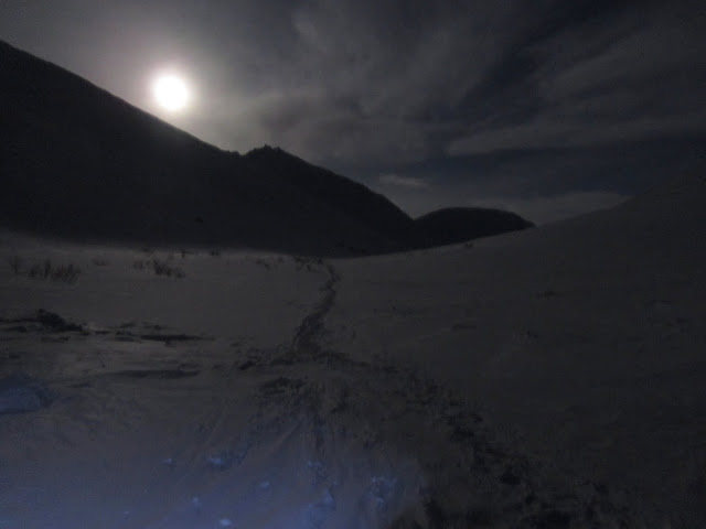
I was a bit worried about going over the pass at night, what with the long pre-race lecture we were given, telling us to leave at 1am so we would arrive at the pass in daylight, but Eric was unconcerned. It turned out to be not a big deal. Amazingly, the ride up to the pass was fantastic, and it was ridable almost the entire way.
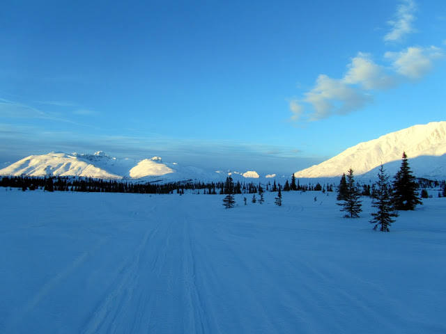
Perfect weather, mostly calm, clear, and a full moon – it couldn’t get better than that.
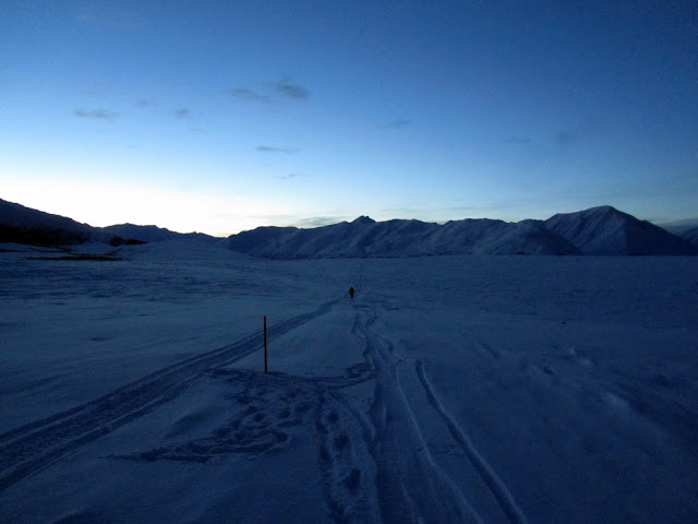
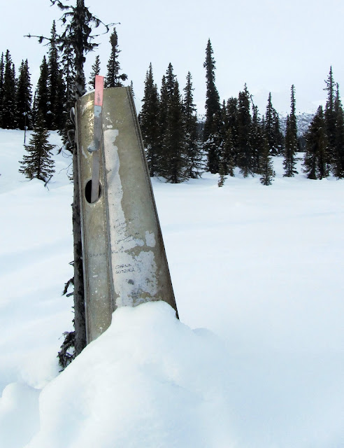
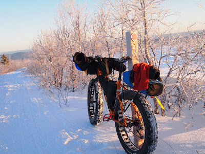
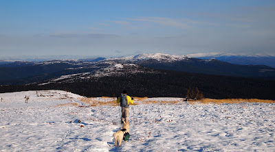
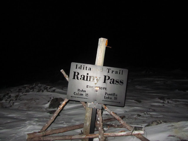
Before I knew it we were at the pass and topped out. Rainy Pass has a semi-legendary reputation, at least in my mind. I have heard various stories of deep snow, winds, and bitter cold, so I was floored by how fast we arrived at the top of the pass. I stopped for a some photos, and had to get one of the marker on the pass, the iconic Rainy Pass sign.
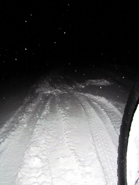
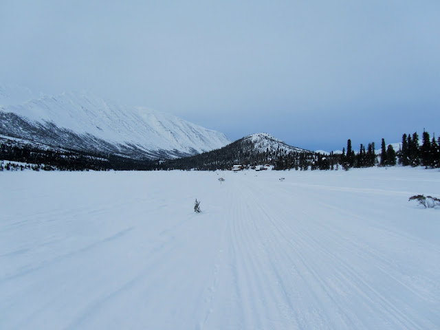
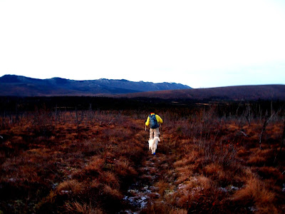
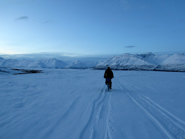
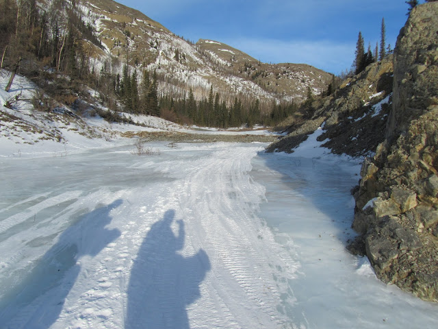
The ride down the Denzel Gorge to the Kuskokwim River was fantastic – zooming downhill though the moonlight night.
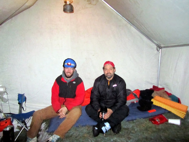
I let Eric take the lead, and let him rip down the hills, assuming he knew what he was doing, and that he would slow down if there were any cliffs to fly off of or other hazards. Flying down the pass in the dark was one of the highlights of the race – zooming downhill in the dark, flying along a narrow trail crossing back and forth over a little creek. In a surprisingly short time we were on the Kuskokwim River and riding down river on hard frozen ice. I was very surprised to suddenly see some Endomorph tire prints – a type of fat bike tire I had not seen since the start of the race. When I am racing on a snow bike, I spend most of my time looking at the ground feeling for the fastest “line” or path, so the riding is as effortless as possible. One side effect of this is that I spend a lot of time looking at folks’ tire tracks, and when a random new tread print shows up it makes a bit of an impression, making me worried someone had passed us while we were sleeping at Puntila. When we arrived at Rohn, all became clear when I noticed that one of the checkers – “O.E.” – had a snow bike parked outside the wall tent. Rohn was a pretty neat place – there were two small planes parked on a packed strip, with a small hewn log cabin the Iditarod Trail crew stays in, with the ITI folks staying in a large wall tent. We ducked inside and were soon sitting down to enjoy cans of soup with pilot bread. After hammering down several pilot bread crackers, I started to feel a bit guilty, and when the other checker, Rob, told me to have at it, gleefully had several more. Unlimited Pilot bread – sometimes happiness is so simple!
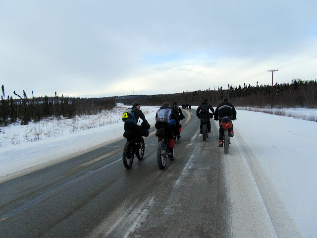
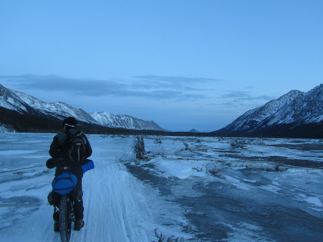
We crashed for several hours, then refilled our water, reloaded from our drop bags, and headed out. As I was searching around for my drop bag I nearly stepped on Craig, who was sleeping outside next to the wall tent. We left a little before dawn, following the Kuskokwim river downstream.
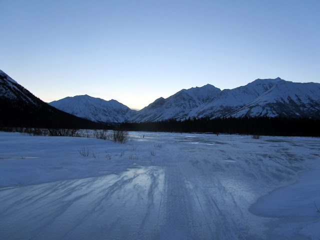
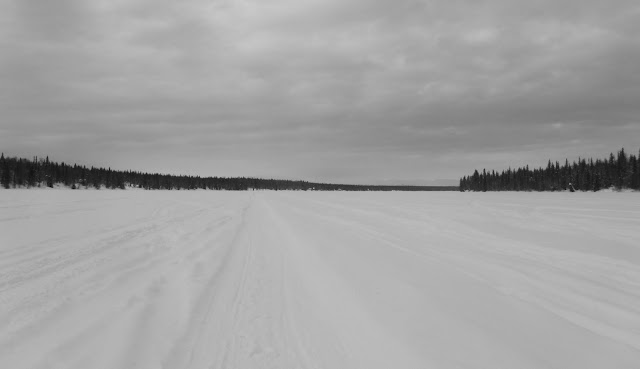
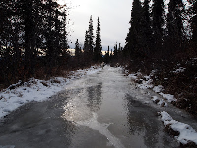
The trail moved on and off the river, which was blown free of snow for the most part. It was a bit nerve-racking to zoom along on glare ice, but I managed not to crash.
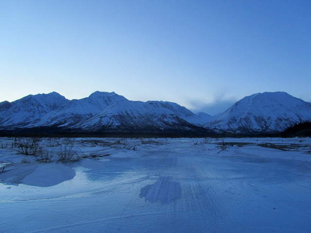
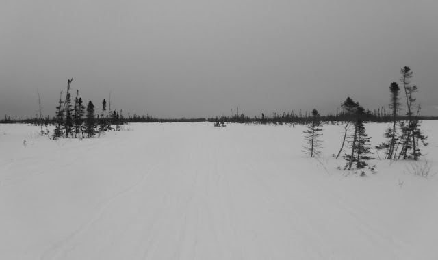
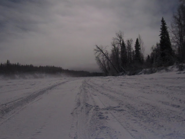
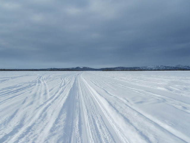
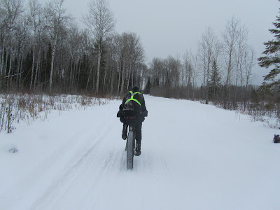
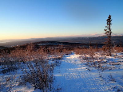
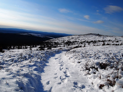
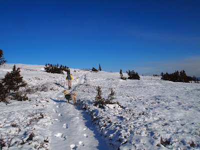
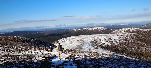
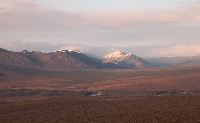
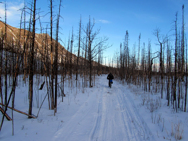
The next section from Rohn to Bison Camp, an abandoned tent camp, was pretty scenic, with wonderful views as I biked away from the mountains and toward the flats.
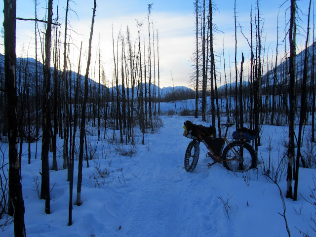
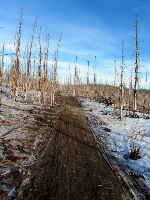
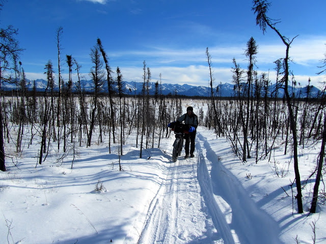
Once off the ice of the Kuskokwim the trail passed though several burns, going up and down countless small, short hills as I moved slowly towards Egypt Mountain and onto the flats beyond the Alaska range.
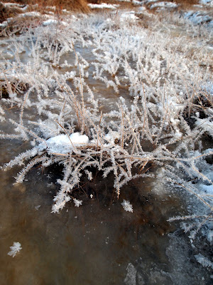
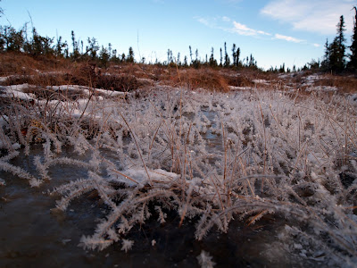
Before the race there was lots of talk of overflow, so I was fairly worried about large tracks of wet mushy ice, however everything was frozen rock hard.
The post river glacer, a large bulge of ice where the Post River comes out onto the Kuskokwim, also seems to have lots of stories surrounding it, with tales of having to climb a huge slippery ice face. This year it was all mellow though, barely larger than the overflow bulges we get on the trails in White Mountains near Fairbanks, and nothing to be worked up about.
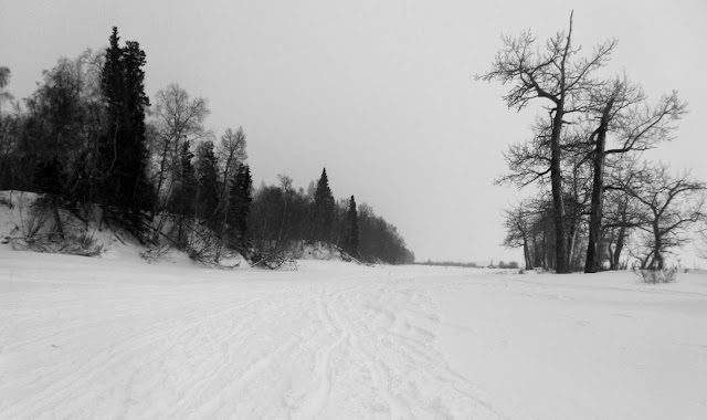
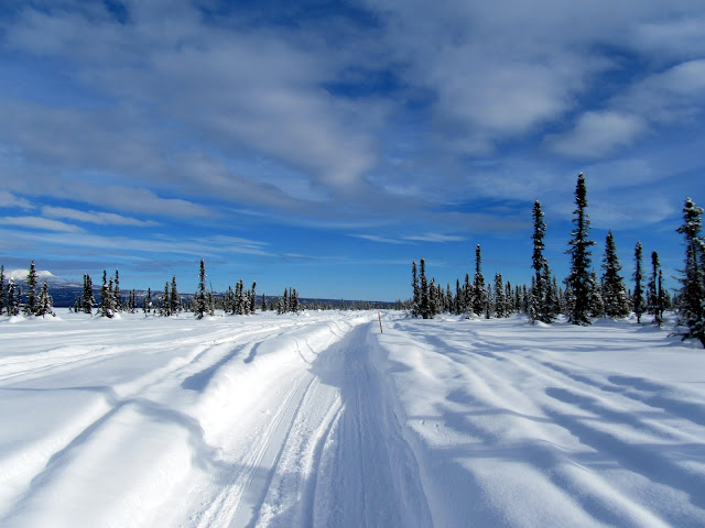
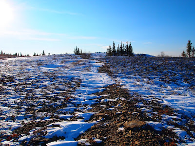
The trail was beautiful in this section, winding though burns and grassy fields covered by only a little snow. The snow cover was amazingly shallow, only a couple of inches deep.
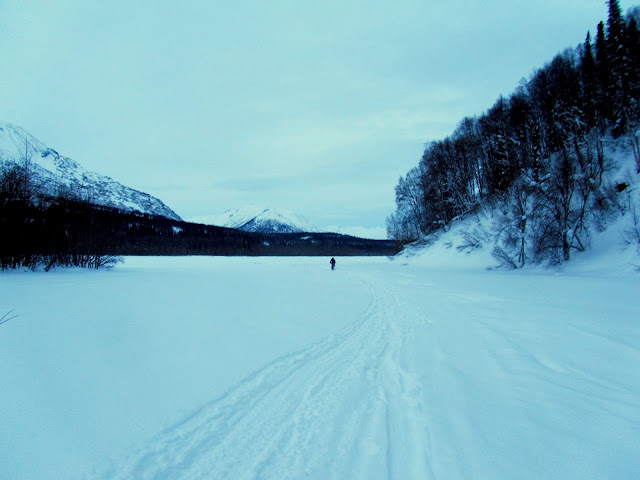
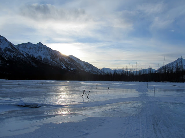
There were also tons of bison footprints and droppings. I spent lots of time scanning the hills in hopes of seeing a bison, but alas, no such luck. Eventually we made it past Egypt Mountain and onto Fairwell Lakes.
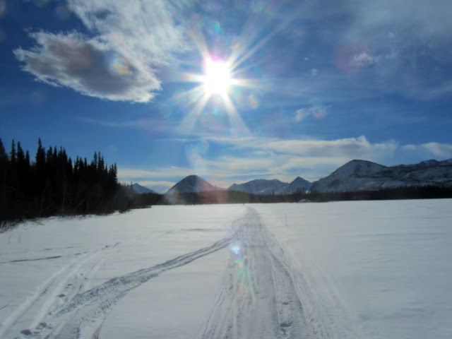
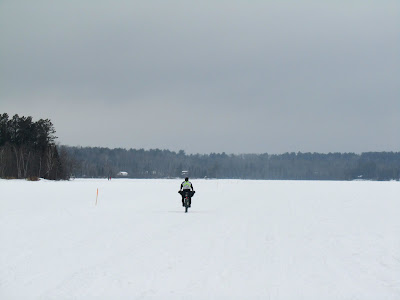
The lakes had a tiny bit of snow on them, and it was a bit mind-warping to bike across them. The long, flat lakes sort of warped my perspective a bit, making it seem like I was not actually moving.
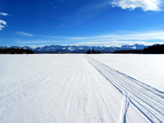
It was very, very beautiful though. At this point I was a bit sleep deprived, and Eric and I were swapping who was leading.
I am afraid at one point I think Eric found me talking to myself all crazy-like, which was quite embarrassing. However, a bit more fat and sugar and I was back in sane-person land. As we pulled farther away from the Alaska Range, the more the trail started feeling Fairbanks-like.
Eventually we passed Bison Camp, a sad looking collection of wall tents, and soon after that, the turnoff for Bear Creek cabin. The cabin had been visible occasionally as a gray dot on a hill, but is way off the trail, and we zoomed by. It looked from the tracks as if several racers had pulled into the cabin for some rest. Alas, we zoomed by, and continued towards Nikolai. For the most part, the trail once out of Rohn had been in great shape, but now as the trail headed through open areas it started to have large drifts in it, which were a bit too soft to ride.
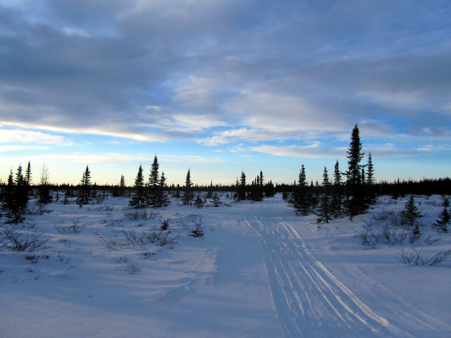
I messed a bit with my tire pressure, and got things ridable for the most part. The drifts continued for a fair distance, but were not too big of a deal – there was some pushing but only in very short sections. Eventually evening came, and with it some huge wind-blown swamps. The swamps were mostly fast riding, as the trail was fairly hard and scoured free of soft snow by the wind.
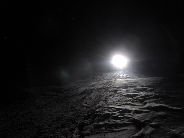
The swamps were a bit creepy, as they were huge and it was often not possible to see the far side of the swamp. I was happy to be riding though, as Eric mentioned that he had pushed all the way from Rohn to Nikolai at least once. In the early a.m. we reached Nikolai, and I followed Eric to the checkpoint, the home of Nick and Olene Petruska. It was a bit hard to find, and without Eric I think I might have wandered around for some time. They were excited to see us, getting up to welcome us even though it was around 1am. They gave us some wonderful lasagna that was nothing short of heavenly. I talked a bit to a young man who was helping them out, though alas I have forgotten his name (Steve perhaps?), then headed into a back room for two hours or so of sleeping. The two hours went by fast, and before I knew it Eric and I were setting off. I had carried two 5-hour energy bottles with me since the start, and with 50 miles to go, I decided it was time to use them. Before leaving the Petruska’s I gulped down one of them, grimaced at the intensely awful aftertaste, then stuffed the other one into my pocket for later. I had quizzed Steve about the trail conditions and potential traffic on the river, and it sounded like we might have it to ourselves, which would be fantastic, as it would mean potentially fast riding. The trail was wonderfully firm as we left Nikolai, and stayed pretty nice all the way to McGrath. I had a bit of a tough time in the early morning hours, as my metabolism was not really churning out the power or the heat, and had to put my light jacket on, slowing things down a bit. Eric was patient though, and didn’t smack me for wasting time. The ride to McGrath was a bit of a blur, traveling on and off several large rivers, including one called “Big River” that was pretty wide, a handful of wide open swamps, and more of the Kuskokwim. Eventually it warmed up a bit or I just woke up and I was able to take my jacket off and get moving. It never was really all that cold, perhaps minus 10f at the coldest, so not too big of a deal. At one point we passed three bikers, Scott M, Brian B, and Mike C, all snuggled up in a trail side bivy. They were touring the trail and I had been seeing their tracks on and off for most of the race. I was very tempted to leave candy on their seats as good morning wakeup snacks but couldn’t muster the energy.. alas. Eventually we reached the outskirts of McGrath, and zoomed through the town, arriving at the finish line happy to be done. Bill Merchant was outside and getting ready to head back up the trail, and was pretty excited to see us, congratulated us and sent us inside to the warmth and food of Peter and Tracy Schneiderheinze’s. I stumbled inside, zombie-like, and spent the next four hours or so eating and lolling, wanting to sleep but also wanting to see the next racers coming in, and not wanting to miss any of the excitement. I must have looked out of it, as Jeff O told me to go sleep several times. The Schneiderheinze’s was heaven – a hot shower, clean clothes, and endless food. Eventually, after tons of eating, I stumbled upstairs, found a quiet corner in a room, and crashed. In the morning, arrangements were made to fly back to Anchorage, and before I knew it I was off heading back to Anchorage. Alas, my bike didn’t make it and ended up in McGrath for two more days. It was looking like I was going to have to either tell Nancy I had to hang out in Anchorage for several more days or do some more flying back and forth, but the Speedway Cycles owner Greg offered to pick my bike up at the airport for me when it arrived, then ship it to me via a local transport company. This was fantastic, as it allowed me to drive home and see my family – hurray! It was very nice to be back at home and see Nancy and the twins.
I should point out at this point that I finished almost 24 hours after the leaders, who were absolutely flying. The top packs performance with nothing short of amazing – doing the whole race on essentially no sleep. It was very fun to watch the leader’s race by looking at their in and out times as I arrived at checkpoints, and it was great to see two of the local guys, Kevin and Jeff, have such a wonderful race. Congratulations to everyone who finished!
h3. A couple of thanks –
* I would like to thank Eric for riding with me, and sharing his knowledge of the trail and generally providing a cool and calming influence for most of the race – it was fantastic riding with him, and one of the highlights of the race.
* A huge thanks to Greg at Speedway and Jeff Gilmore at Beaver Sports for setting me up with a hub and a rebuilt wheel after I destroyed a freehub a few weeks before the race, and for helping get my bike back to me post race – you guys are fantastic! I am getting a reputation for breaking things just before the ITI, hopefully this will not continue.. My bike was a bit delayed going out of Mcgrath, and Greg at Speedway was nice enough to offer to pick it when it arrived and ship it up to me, making my life so much simpler – thanks!
* A big thank you to my ever-understanding wife Nancy and the twins – thanks ever so much for putting up with my biking obsession and letting me put in all those long training rides. I am very lucky to have such a supportive family – thanks!
* A huge thanks to everyone who offered me advice both this year and last, in particular Ned Rozell and Jeff Oatley were super helpful about what to expect. “Sean Grady’s blog”:http://seansalach.blogspot.com/ posts on his ITI experiences were also very helpful. Sean – your blog misses you!
h3. Gear Notes
I carried a lot less stuff with me this year, making for a lighter bike. Some the major changes were taking fewer clothes, a -20f sleeping bag rather than a -40f bag, less food, and I didn’t bring a stove. This mostly worked quite well, though I didn’t sleep outside at all, and it was pretty warm for the entire race. I think the coldest I saw was around -10f, which is not really all that cold. I might have missed some of the clothing if it had been sub -30f.
I brought my vapor barrier shirt, which I didn’t use. I think if the forecast is good I would leave this at home, as it is really only useful (for me anyway) in sub -15f weather.
For footwear this year I used “Lobbens”:http://www.piasweaters.com/product-p/lb-trd-a.htm inside the basic, uninsulated Neos. This seemed to work great, providing good walking, heavy duty waterproofing, and was fairly light. It was more than warm enough for this years race, though I probably could have run my lake winter boots given the nice weather we had. I wore thin neoprene liner socks as vapor barriers with wool socks over them, and this seemed to work great. The neos didn’t accumulate moisture, and my feet didn’t mind the neoprene socks. My feet were a bit sore the last day, only because I didn’t take the time to dry out the vapor barrior socks at Nicolai.
For food I took a fairly random selection of candy bars, a lot of reese’s peanut butter cups, with a handful of GUs, lots of gummies of various types, chocolate, and a lot of pepperoni. This seemed to work fine, though I think a bit more pure sugar might have been preferable. I put several of those bear claws that you find in vending machine in each drop bag for breakfast, and they are definitely a bit short on flavor. Eric packed oatmeal, and gave me some at Finger Lake, which was pretty fantastic. That was definitely the trick, and in the future I will put oatmeal in the drop bags for breakfast at the checkpoints. Eric also had a thermos that he left the checkpoints with filled with oatmeal which he would snack on several hours after leaving the checkpoints, which looked really pretty delicious. I am definitely going to bring a large mouth thermos if I do the ITI again.
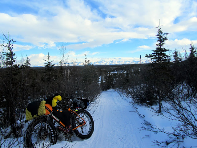
Bike wise, I am still using a Fatback with a fairly standard setup as sold to me by Speedway Cycles. I replaced the handle bar with a “Carver Pry bar”:http://www.carverbikes.com/comp/prybar , a nice wide flat bar with a bit of a sweep and replaced the seat post with a cheap “Niner carbon post”:http://www.ninerbikes.com/carbonseatpost (much more comfortable!). I am now running 90mm UMAs, with BFL tires. The fit on the back is really tight, and I had to trim the side knobs a fair bit so there is no rubbing. The trail conditions were pretty nice, but I was still very happy I had the big tires – the added weight and rolling resistance is worth the extra float those tires give me. More float means more riding.. one hopes anyway. If I could fit it I would like to run the wider knobbier Lou and Buds, but alas they are way too big. That is the one thing I would change if I had the choice, otherwise I was super happy with this setup. I have been super happy with my snowbike, from a “Fatback”:http://www.fatbackbikes.com/ from “Speedway Cycles”:http://speedwaycyclesak.com/ . I have had such wonderful adventures on that bike…
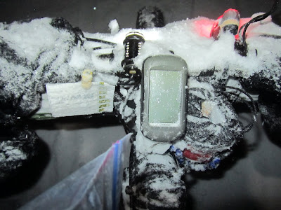
It might be bad form but the details of my ITI race as recorded by my GPS can be seen on “strava”:http://app.strava.com/activities/48381783 and “garmin connect”:http://connect.garmin.com/activity/296656263 if folks want to see exactly how slow this sort of race is. I think my moving average was something like 5.2 mph!