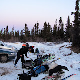
After a night with less sleep than I would have liked, Tom and I drove the 40 miles or so to the Mile 28 trail head for the White Mountains NRA for the start of the White Mountains 100 . The race started at 8:00am and required a check in before 7:45, so we left town at 6:20 to make sure we had arrived with plenty of time. We ended up trailing a long line of vehicles heading out of town, and much to our surprise, most of them turn into the parking lot for the race. After I did my required checkin with the organizers, I spent some time wandering around checking out the other racers gear and spent some time talking to a couple of the skiers. There were quite a few bikers on fat bikes of one type or another – some pugleys, some fatbacks, and a couple of bikes I could not identify along with some standard bikes using Snowcat rims. The skiers were a mix of skate skiers on super short skis, skate skiers on standard skate skis, and classic skiers.
Soon the officials made the 5 minute warning and everyone headed to the starting line. I gave the bikers a lot of room and let them take spots closest to the start, as they should be the fastest, and I didn’t want to block a bunch of the fast folks with my slow skiing. The officials did a count down, and we where off. The first mile or so of the course climbs a small hill, then starts a series of rolling hills that lasts the next 30 miles. All the skiers were bunched together in the beginning which made things a bit cramped for a while, but eventually things spread out as the speeder folks pulled away and the pack spread out.
I took the first 6 miles or so pretty laid back manner, letting all the fast folks by. I was to spend the 30 miles or so passing and being passed by Rorik the runner – he was amazingly zippy climbing the hills and would pass me on the climbs, but I would blast past him on the downhills. Rorik was to zoom to the Windy Gap checkpoint, then stop – he had a flare up of a recuring foot problem and would finish the race on snowmachine.
The next 12 miles went by super fast – in around three hours I made the first checkpoint, and chugged some water and ate some quick snacks.
After the first checkpoint I ran into several dog teams. The drivers of the teams seemed very happy and didn’t seem to mind all the extra people on the trail.
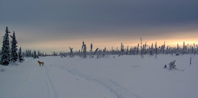
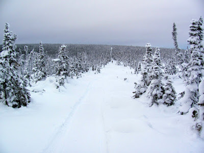
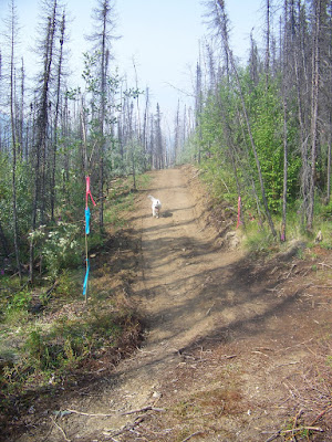
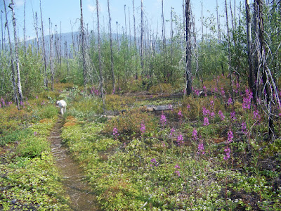
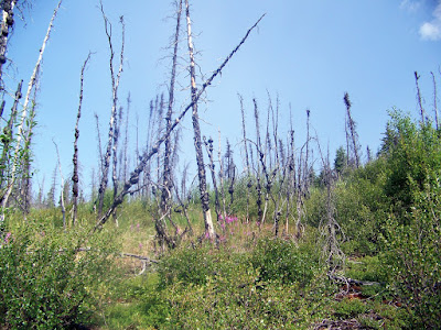
Between the first and second checkpoint the trail winds though some very scenic burns and tussock fields.
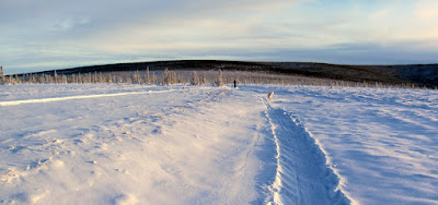
It was pretty windy but warm in the tussock fields, making for pleasant travel. This section is a bit mind numbing though – it seems to go on and on and the bits of exposed grass slow the skiing a bit.
Apparent I didn’t chug quite enough water at the first checkpoint – after 10 miles or so I started feeling a bit dehydrated, and by the time I made the Cache Mt cabin checkpoint, I was not feeling all that good. After forcing down a potato and quart of water and several glasses of Coke, I left the checkpoint still feeling a bit under the weather. Up to this point I had been skiing with Tom, but he was going a bit faster than me and took off about 20 minutes before me. The next section of trail had the first real overflow but it was very passable.
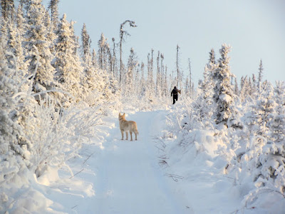
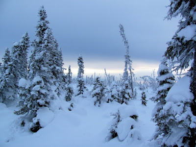
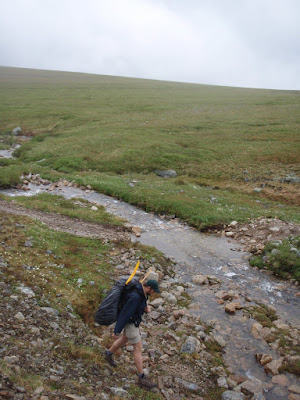
The 13 miles out of the Cache Mt checkpoint are a uphill, first gradually and then not so gradually. This section of trail is pretty scenic and very beautiful. I was still dehydrated and not feeling so hot, so eventually I stopped at a stream and chugged two more quarts, and started feeling better almost right away. I walked the final section to the top with two bikers, Anchorage Julie and Fairbanks Julie.
(Photo complements of Tom)
The next section of trail was fantastic fun – its all down hill to windy gap cabin, so the skiing was fast. The trail has lots of little ups and downs which are just challenging enough to me on my toes. Super fun! The ice lakes section was not all that bad and I skied about half of it. It was very windy on this section of trail – the main reason I took off my skis on the last half of the ice lakes was that I was being blown sideways by the wind. Dan the medic was hanging out in a tent just bellow the ice lakes making sure everyone got though this section intact and I stopped to chat with him a bit. The rest of the trail to the Windy Gap checkpoint flew by and soon I was there. The checkpoint was pretty packed but I found a seat and enjoyed some rice and meatball soup, two quarts of water, and another potato complements of Andy Stern. Andy had been given an extra potato at the Cache Mt checkpoint and he had taken it with him to snack on, but alas it froze, and he left it at Windy Gap, were it was eaten by me – hurray! After dinking around the checkpoint for a hour or so, Tom and I packed up and took off down the trail. The first 5 miles or so between check point #3 and #4 is super fun, with lots of small rollers and short sections of frozen overflow. It winds though big trees, and in the daylight has wonderful views of the nearby lime stone rock formations. Alas, it was quite dark, so no nice views, but it was still quite fun. It was quite windy near windy gap, but as we got farther down the trail the wind went away and soon it was very cold. I didn’t have a thermometer on me, but the fabric on my pack starts making crinkly noises at -15f or so, and it was definitely sub crinkly temperatures judging from the noises my pack was making.
It was quite scenic though, which clear skies and wonderful views of the stars. The trail was fairly fast do to all the skier traffic, and we made good time. After we passed the junction for the fossil gap trail we saw three lights behind us way in the distance. These later turned out to be three bikers traveling in a pack, as they arrived at checkpoint #4 shortly after Tom and I did. Checkpoint #4, Borealis Cabin, was packed with lots of racers taking breaks – there was quite a few bikers and several skiers. I headed up into the loft for a quick nap, but alas it was, much, much too hot for me to sleep. After 15 minutes or so I gave up, headed back down and ate some noodles and other snacks. Eventually Tom and I pried ourselves out of the checkpoint and headed back down the trail. We were quite close now – the remaining 20 miles or so normally take 5 hours or so, but alas it would take us a bit longer. After 2 hours or so we made it to the trail shelter checkpoint.
Tom retreated inside to warm up and snack while I chugged down water and snacks outside the tent.
I hung out outside talking to the saintly folks manning the checkpoint. Some friends staying at Eleazars had asked about me, and after they got my name, greeted me with “Oh, so your Jay”, which was somewhat ominous. It turned out all was well – my friends had made a positive impression and apparently they had hung out at the trail shelter for quite a while talking and enjoying some wine they had brought. After a short break Tom and I were back on the trail and we zoomed along and were soon back at the parking lot. I quickly changed into clean and dry clothing, got out my sleeping bag, and went to sleep in one of the arctic ovens setup in the parking lot by the race staff. I probably could have slept all night, but was awoken by Ti the medic, checking on Tom and I to make sure we were still alive. Tom, who was not napping and was buzzing from some caffeine pills (Tom say’s it was a “natural” buzz and no caffeine was involved) decided he was awake enough to drive us home, so we loaded up, and an hour later I was home soaking in the tub and enjoying dinner. Hurray!
The race was super fun – I would like to thank the race staff and organizers as they made it all possible and enjoyable. I have never done anything like this before but now I am definitely hooked – it was much, much more fun than I though it would be.
As this was my first attempt at anything like this, I would do a number of things differently. I am not a total novice, as I have done lots of fairly high mileage ski trips on snow machine trails, but nothing over 50 miles in a day. I have also done a number of “accidental” several day trips with no sleep, so that was not new to me. These trips have involved getting lost or having the weather chance and having to ski for 24 hours straight, or probably the least pleasant of my mega days – getting stuck on a treeless section Afognak Island for 48 hours. These trips were not something I had set out to do from the start however, which made them quite different – the race ended up being quite an enjoyable experience.
Things I would do differently:
- I brought too much stuff – way too much stuff! I brought a 5f sleeping bag, and a pad – these were totally unnecessary, unless I was planning on doing it in “tour” mode and wanted to sleep outside.
- Not enough water – I only brought a quart water bottle, which was not enough for the section between checkpoint #2 and #3 – two quarts would have been much better.
- A better water carrying system – my water bottle was in my pack and I was not all that motivated to stop, get it out, and drink, so I drank less water than I should. I got pretty dehydrated at one point, which made me much slower than I should have been. On my long training trips I brought a water bladder, but I left it home as its a bit fiddly and requires some care to make sure the hoose does not freeze or leak. I should have brought it or some other system that allowed me to drink while skiing.
- Too much time at the checkpoints – the checkpoints were like traps – you get in but don’t get out. I spent much, much too much time hang out in them. Next time I will try to get checkpoint time down to nothing – that would make a major difference in my overall time.
- Ski harder – I took it nice and easy as I was not all that sure about how well I could do 100 miles. This was a mistake – the day after my legs were a tad bit sore and stiff, and the following day they felt completely fine. Normally (at least for me) the second day after a super long day my legs get quite stiff and this did not happen. I have felt a lot worse after 50 mile or even 30 mile day skis. I should have skied much harder – it felt really lame finishing this race and still being able to walk normally the day after.
- Food – I brought I lot of granola style energy bars that I had chopped up into little pieces so they could be eaten while frozen. These were quite hard to push down while dehydrated – it was like trying to eat dirt. GU style gels went down quite well though – in the future I will bring a lot more GUs. The powerbar vanilla was like magic – went down well and provided a nice energy kick.
- Skate – I did this race in classic style. Huge sections (the first 30 miles – besides the uphills that is – and the last 30 miles) were very skate-able. I should improve my skate technique enough to get some skating in.
- Bike? – the bikers appeared to have a blast. I have a single speed “large” tired bike that use on the local trails – I will explore using that or something similar on our back-country trails and see how it goes. I should hunt down a pair of snowcats for my “regular” mountain bike and see if those give enough flowation on our trails.
Ah, so many things to think about for next year! Nancy has dibs on next years race, but if I can get child care and make it onto the race roster than I will do it again, as it was very fun and rewarding. If I can’t make it on the roster then I might take the family to one of the cabins on the course not used by the race staff and cheer the racers on. This race was so fun I might have a new addiction – think I will definitely do the Susitna 100 next year.
Sumer is now approaching – I have at least one more ski trip lined up – a kid trip out to a cabin I skied by in the race, but soon I will have to start thinking about summer adventures. Wahoo!
I would like to give a big thanks to my wife Nancy who allowed me to disappear for long periods of time to train for the race, and didn’t complain about my race obsession and even organized an after race party for everyone and Tom who did most of the race with me – it was nice to have company for the long dark sections – Thanks! Remus the dog was a fantastic training partner – a large handful of dog treats will be given to him as thanks. And finally, I would like to thank the race staff and organizers – major kudos and thanks to those guys. The race was super fun and was only possible due to all their hard work – thanks!
 |
| More Photos – White Mountains 100 |

