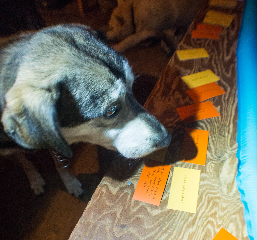
This post is strangely popular – not sure why that is, but folks should take this list with a good deal of caution, and figure out what works for them – just because I take it doesn’t mean you will need it, and just because I didn’t take it doesn’t mean you will not need it!
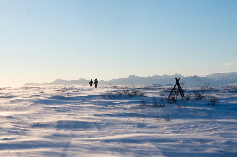
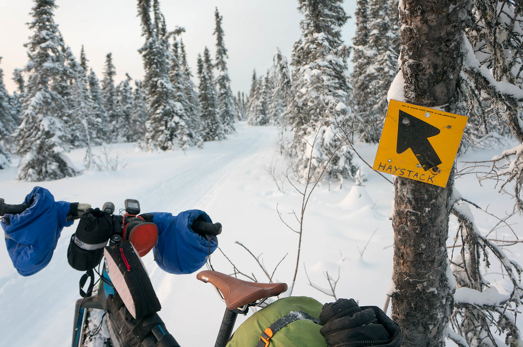
I am planning on doing a full writeup on my ride to Nome in the Iditarod Trail Invitational (ITI), but meanwhile, someone asked what I took with me. This is an experiment – I don’t normally make lists like this, hopefully others will find it useful.
Here is my packing list and a few other details. I think it is complete, but I might have missed some odds and ends.
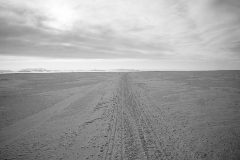
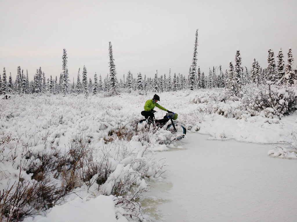
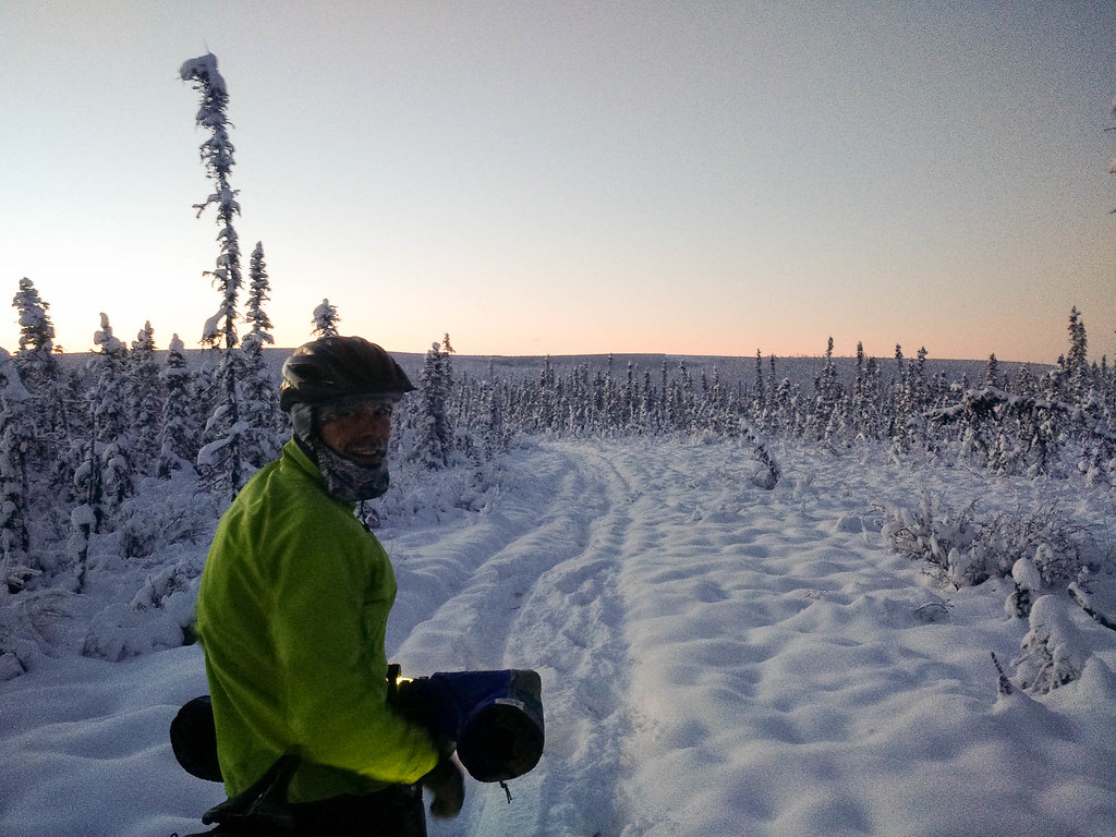
This perhaps obvious – but the Iditarod Trail Invitational has two forms – the “short” race to McGrath, and the race to Nome. Riding to Nome is more of an adventure rather than a race, riding to McGrath is more of a race and less of an adventure, so folks going to McGrath need much less stuff.
Please keep in mind this list works for me, but might not work for you. Also, I am very much not an expert, so take everything I say with a grain (or large helping) of salt. Just because I am doing it doesn’t make it a good idea! I should also point out I am not “a fast” rider – the fast guys pack differently.
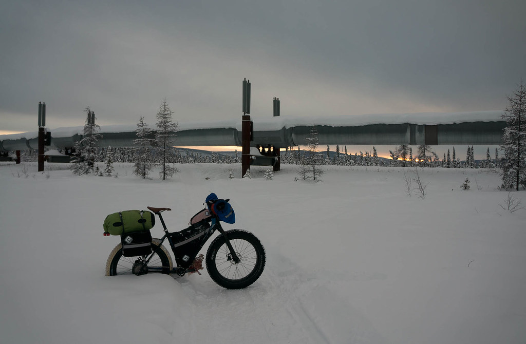
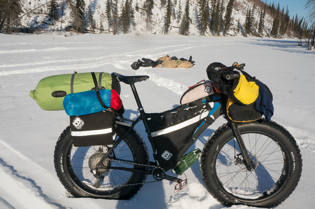
Bike Stuff
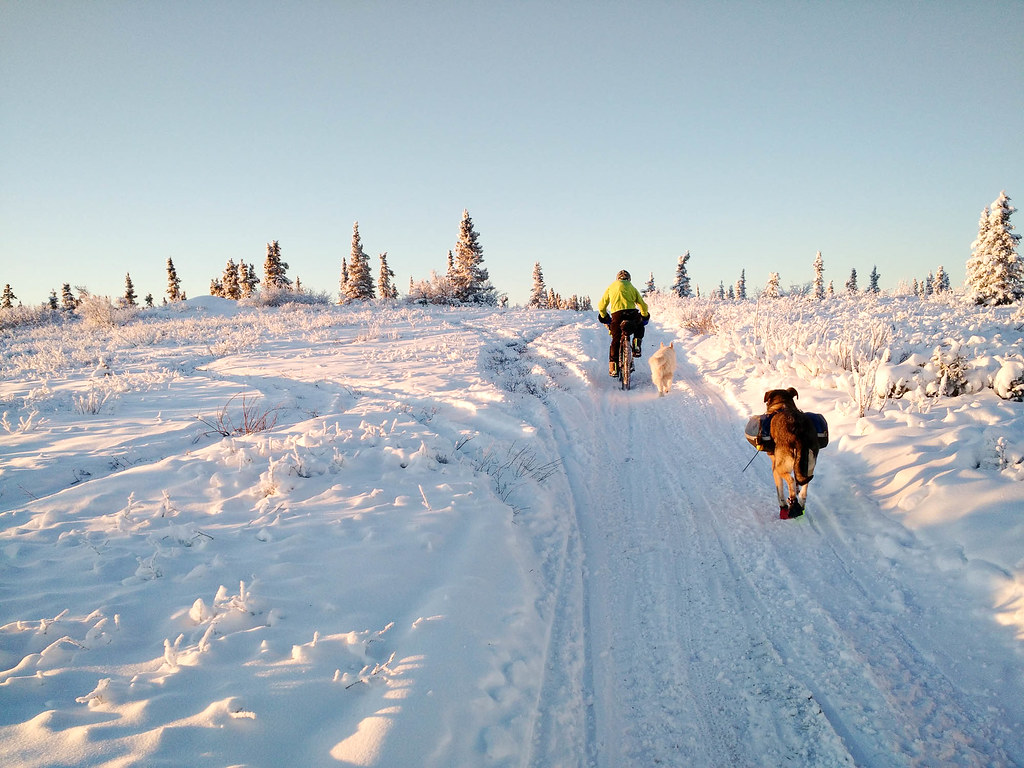
- the bike – 2016 vintage Fatback Corvus – I love this bike!
- 100mm Nextie rims with Hadley hubs
- “alt” style handlebar with ergon grips with extra padding
- Bud tires, front and back
- Old Man Mountain rear rack
- Becker Gear frame bag, mini panniers, and top tube bag
- Revelate harness
- standard SRAM 1×11 setup, with xt 11-46 cassette
- big vault flat pedals
- Dogwood Designs plus pogies
- bike tools etc
- multi tool
- leatherman wave knife / pliers
- patch kit
- two tubes *
- chain tool
- patch kit *
- derailleur hanger *
- a small segment of chain, and several quick links
- baling wire, extra bolts, duct tape, and a few other extra “fix it” parts
- separate long hex wrench for pedals *
Clothing
- On Me
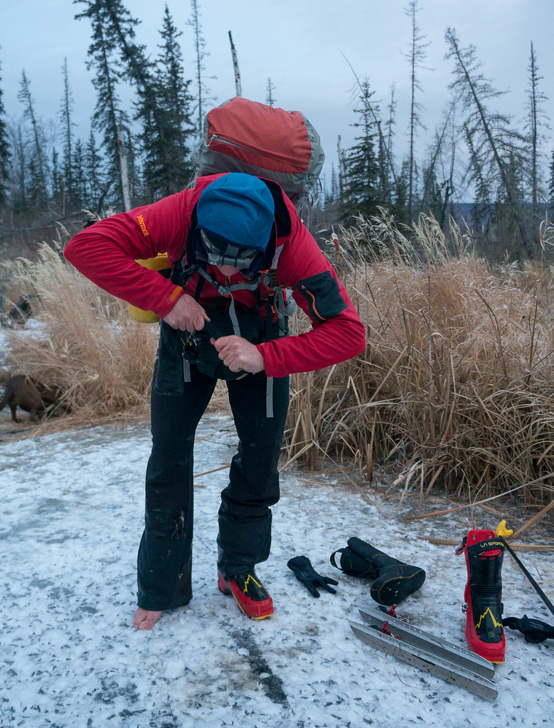
- Marmot soft shell pants Note: Fully windproof!
- Keen boots, two sizes too big
- bike shorts
- short sleeve top
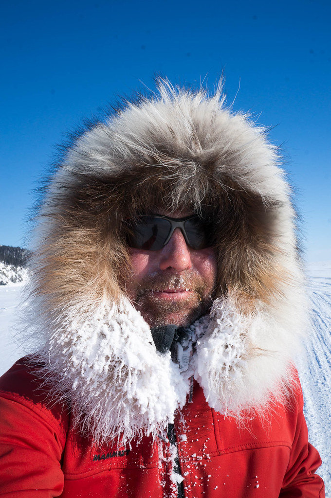
- Mammut softshell, ultimate hoody, with ruff Note: Fully windproof
- neoprene socks, as vapor barrier.
- thick wool socks
- full finger bike gloves
- watch with vibration alarm
- On bike
- North Face thermoball hooded jacket
- Marmot baffled down jacket *
- Patagonia hooded R 1/2 top
- long sleeve top, thin
- Patagonia medium weight long underwear bottoms *
- Patagonia light weight long underwear bottoms
- homemade fleece overshorts (awesome – thanks Nancy!)
- Marmot Driclime full zip pants *
- two pairs extra socks, one thin, one thick
- light shirt for schools etc
- light shorts for schools etc
- “no fog” face mask *
- goggles *
- nose hat
- extra hat + thin balaclava
- homemade fleece mittens (thanks Nancy!)
- Hestra Primaloft Extreme Mitt Liner – Warm, light, and fairly cheap!
- sunglasses
- Wiggy’s waders
- oven bags as extra vapor barriers and an emergency option to keep my socks dry in case my boots get wet
- gaitors
Human Maintenance Stuff
- big med kit
- aleve & other meds
- foot care stuff, tape, mole skin etc
- bandages, antibiotic ointment etc
- duct tape
- tape adherent
- oral antibiotics
- butt care stuff – diaper cream, etc
- foot lube (need a replacement for hydropell, I am almost out!)
- chammois cream
- sunscreen
- lip balm
- salt pills
Food
- Cooking Stuff
- XGK stove + extra pump
- 2 quart pot (which I dropping in the South fork of the Kuskokwim, because I was being dumb – don’t do that!)
- replaced with a 1 quart pot I borrowed from Tom Moran and a small ti pot from Dan L.
- two fuel bottles (5-ish days of fuel, not always full)
- ti spork
- Food
- 3+ days of food on me at all times, a combination of freeze dried food and snacks
- Note: Jeff Oatley told me I should have three days of food on me at all times before I went to Nome in 2016, and I think that was a great recommendation.
- coffee and/or chia mixes for the thermos, when not used for hot water
- 3+ days of food on me at all times, a combination of freeze dried food and snacks
- 40oz thermos
- Note: I got this at the “AC” store in McGrath – it was a great purchase. It kept water really hot for at least 12 hours, so I could boil water mid day, have a freeze dried meal before bed, then have freeze dried when I got up. It is the Thermos brand, which seems to work (a lot!) better than the upscale brands. One downside was it kept coffee too hot to drink if the water was boiling when filled. YMMV
- Sleep Stuff
- Marmot -40f bag
- ridge rest, full length pad
- ultra lightweight bivy *
Electronics
- phone with GCI sim for villages, loaded with topo software as a gps backup
- Garmin etrex 30, with topo
- Sony NEX 6
- three batteries for camera
- 2 small usb charger + cables
- aaa powered mp3 music player
- audio book player
Random Other Stuff
- Hydration
- Mountain Hardwear Fluid 6 backpack
- mylar bubble wrap insulation inside it, on the outside side
- red MSR water bladder + hose, without a bite value
- Note: Bite valves seem to be a source of a lot of leaks – I just have a on/off valve, and turn it on to use it, then off when I am done. Works fine for me. This system worked fine at the mid -30f weather I had on the way to Nome, and I have used it for training rides in colder weather. The bladder is right up against my back, and under all but my tee shirt. Even at really cold temps the water eventually becomes more or less body temperature.
- TP & hand sanitizer
- Dogwood Designs overboots
- Note: These things are magic and very warm!
- printed FAA charts for the route
- printed maps for a few problem areas
- printed contact list for route after McGrath
- mileage sheet
- windproof matches, lighter, and fire starter (esbit tablets)
- sewing stuff, tyvek tape
That is a lot of stuff!
And no, I did not weigh my bike when it was loaded up – really, you either need something or you don’t. If you don’t need it, don’t take it, if you need it, who cares how much it weighs, you need it, take it.
For logistics, I mailed boxes (the USPS regional rate size B box is $7 for 0.4 cubic ft / 20lbs for Fairbanks or Anchorage to the villages along the route, which is a bargain) to schools along the route, after emailing the principals to make sure it was ok. Every box I actually tried to get was there, though YMMV. I tried to ship enough stuff that even if I missed half the boxes I still wouldn’t starve.
The fleece over shorts were awesome – they are stretchy enough to go over my boots, so I would just pull them over my pants, and I would instantly be a lot warmer. I was fine with thin long underwear, pants, and the fleece shorts over the top at the mid -30F, which was great. I got the idea from Kyle who I rode with last year, who had a set of “puffy shorts”, Dynafit branded over shorts. The basic idea is highly recommended!
I used a Nosehat and a ruff, and that is an awesome combination. I didn’t need any additional face covering. The nosehat dries off really fast (like in my pocket) – highly recommended.
In regards the the big puffy jacket – I brought a big baffled puffy jacket that I didn’t end up using until a got to Nome. In general, if I am not moving, I am getting ready to sleep or sleeping, so as soon as I stop for the night, I stomp a bivy spot, unpack my sleeping bag, and climb in, then from the bag do any extra chores I need to do (cook dinner, etc). Going this route, I was able to get by without breaking out the big jacket, even in the sub -30f weather. YMMV of course. I would still have the big jacket, just in case it got really cold, or if something went wrong, like I had to do extensive bike maintenance or got sick.
I slept with all my clothing on, besides my vapor barrier socks. My boots sayed out of the bag, as they were always dry (the vb socks keep them that way).
I had issues with my bag getting a lot of moisture in it – after three days it had a lot of moisture in it, and required drying out in a warm, dry place. I think if I was to do this race again, I would try a vapor barrier liner or jacket in an attempt to minimise this.
With regard to bike maintenance, I had three bike issues. I broke a plate in the chain, which I fixed by taking two links out, and patching it together with a quick link. I had a rack bolt break at sub -30F, for which I rigged a temporary fix with bailing wire, then a real fix later in the heat of the day using the Leatherman to remove the bolt remains, and rebolting with bolt from my spares kit. I had a periodic issue with my freehub making funny noises, but that didn’t seem to cause any engagement issues, so I ignored it, and it worked out.
Questions? Leave a comment.
Things on the list marked with an asterisks (*) I didn’t end up using. That isn’t to say I wouldn’t bring them – I didn’t have flats for example, so didn’t need the tubes.
If I was to start cutting gear, I think I would drop the Marmot Driclime over-pants, and go with a less warm sleeping bag, but that of course involves trade offs – on the last night before Ruby, I was cold in the middle of the night and had to put on more layers so I could sleep. Perhaps I should sleep less though 🙂
I am not an expert by any means, so take all my suggestions with a large helping of salt. This list (sort of 🙂 ) works for me, it might not work for you. Everyone has to figure this out for themselves, at least to some extent.