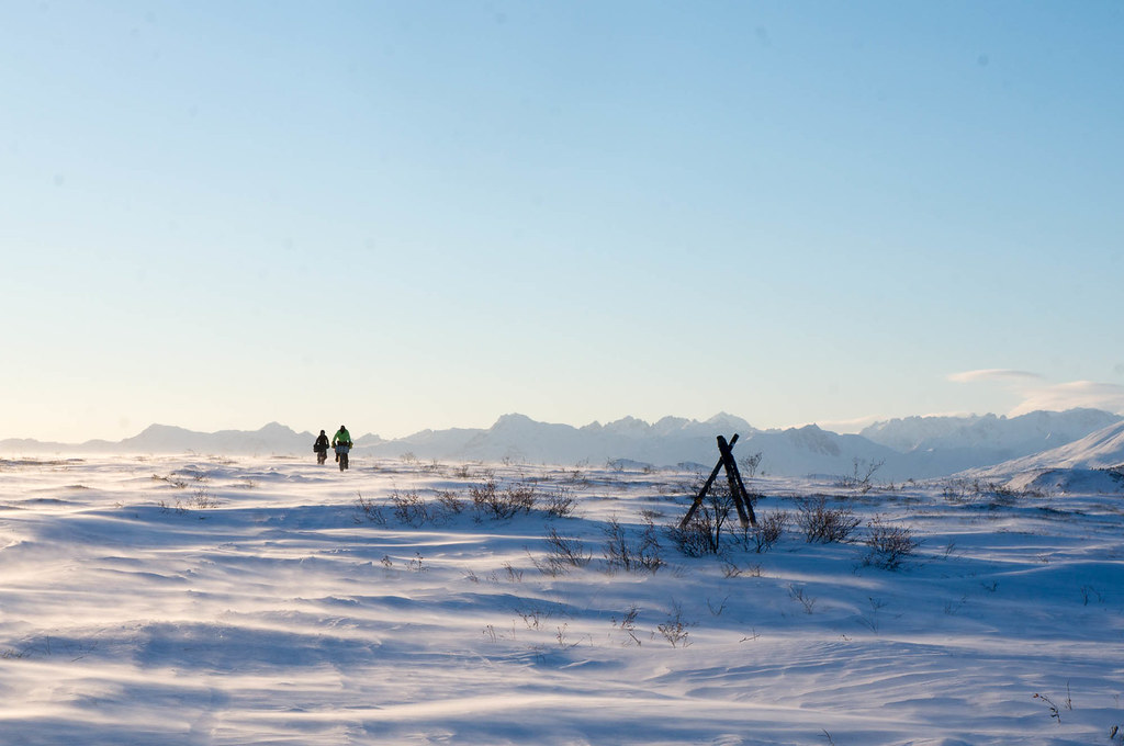
Leaving McGrath was pretty hard last year. It was even harder this year…
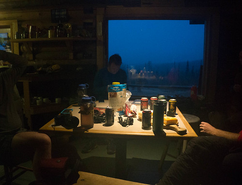
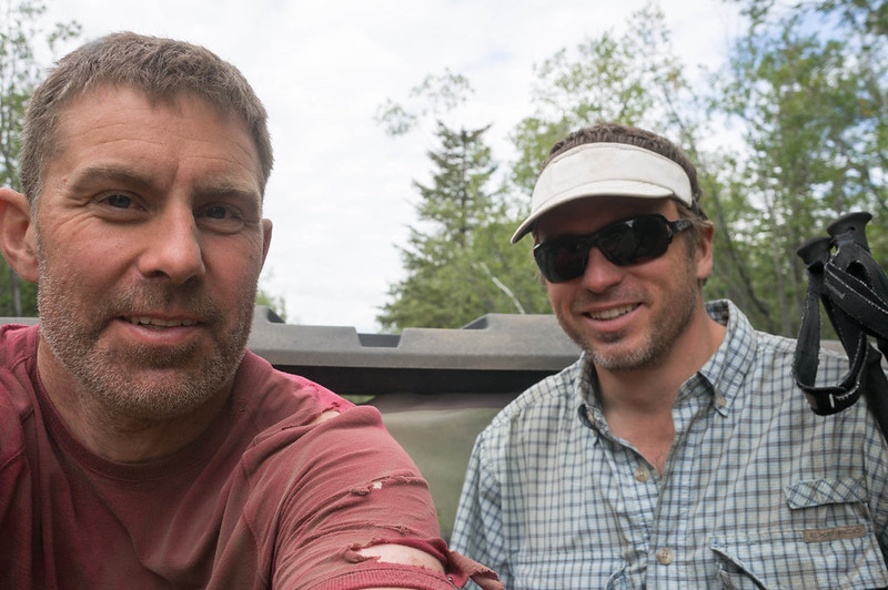
Tracy and Peter Schneiderheinze host us in McGrath, and they provide a nearly endless flow of tasty food. They are amazing folks. When Dan and I reached this haven of warmth and socializing, there were a few folks there, though the leaders were long gone. Other racers rolled in throughout the rest of the evening, including John, Amy Breen, and Tom. Tom finished with minimal additional damage to his frostbitten feet, but he was going to have a long recovery process ahead of him.
I was a bit on the fence about going on to Nome. At this point, only Kevin was ahead of me, with a sizable lead, time-wise, and the nearest folks behind me had not reached Nikolai yet, so it looked like I would traveling to Ruby by myself. I guess that wasn’t entirely correct; Tim Hewitt, who is normally a walker but was riding a bike this year, arrived in McGrath a half day or so after me. However, he is the very model of slow and steady: biking slowly and not sleeping. It didn’t look like our paces were going to be similar.
Continuing was not the most exciting prospect. That section of trail is pretty lonely, and without the dog race, there would be no traffic. I was also a bit mentally fried from assisting Tom with his frostbite, and worried I was not prepared enough to manage my own disasters.
I had talked about just flying to Kaltag and continuing from that point, or perhaps flying back to Fairbanks and biking with the dogs. But at this point I think I know myself pretty well, and I knew that if I didn’t go on, I would regret it forever. So I chugged along, preparing to head out.
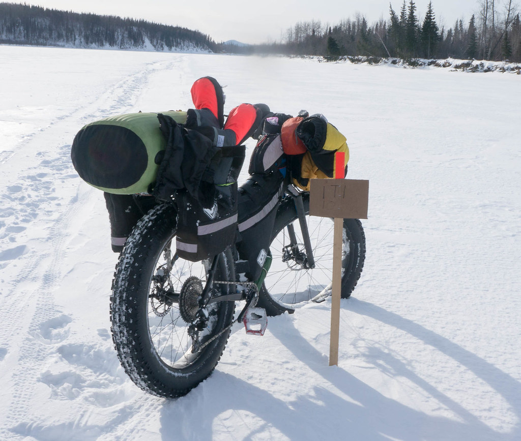
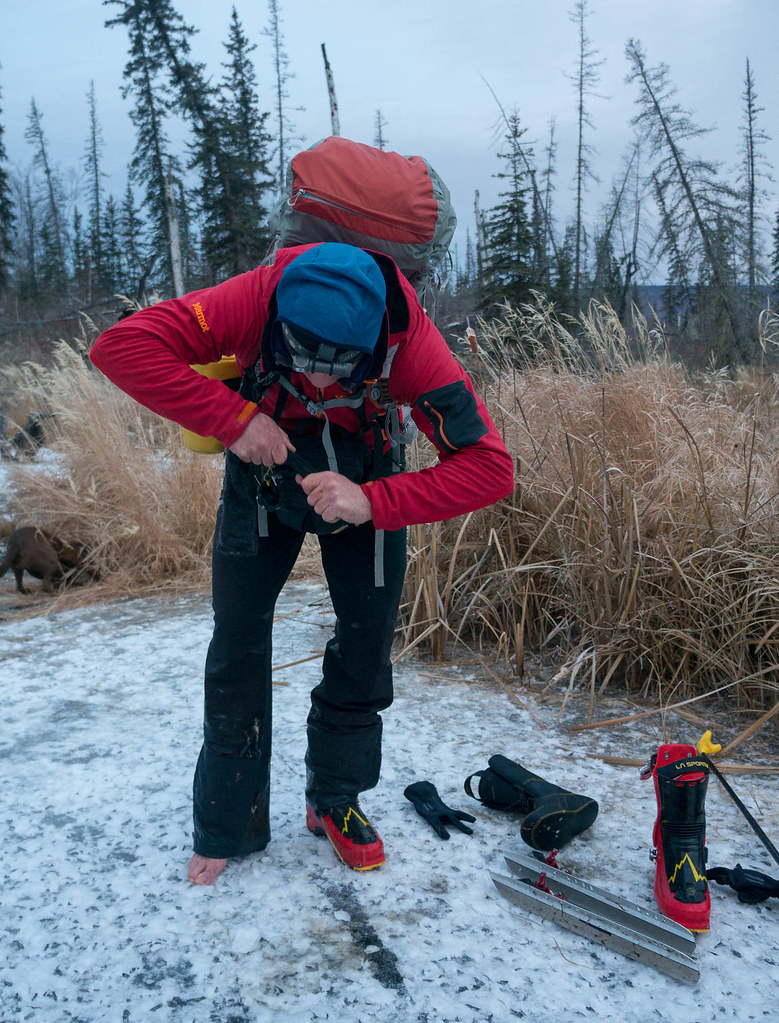
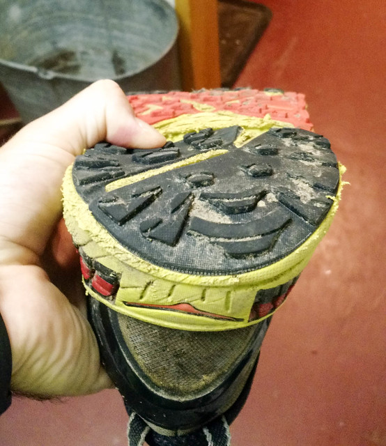
In order to leave McGrath, I had a few chores to do, including packing up food, sewing up my overboots, and picking up a few things at the local store (the “AC” as the locals call it). I started the race with slightly ripped up overboots, and alas, they quickly became very ripped up, so I spent several hours sewing, while chatting with folks. I finished them up, then hit the sack. In the morning I dropped by the AC to get a bit more food, some more fuel for my stove, a cheap thermos (actually Thermos brand), and my new favorite trail snack, a big bag of Fritos. Tim left early in the morning, and I am still amazed how fast he was able to get in and out. I guess after eight times to Nome you become really time efficient!
I became a big fan of Fritos on this trip. I could get them at all the village stores, they are pretty calorie dense, and they taste good. I also grabbed a Budweiser for Dave Johnston, who the tracker said was coming in soon. Dave is an amazing guy – I have seen him finish at McGrath three times now, and he is always cheerful and happy. I slowly packed up my bike, watched Dave finish, and prepared to head out.
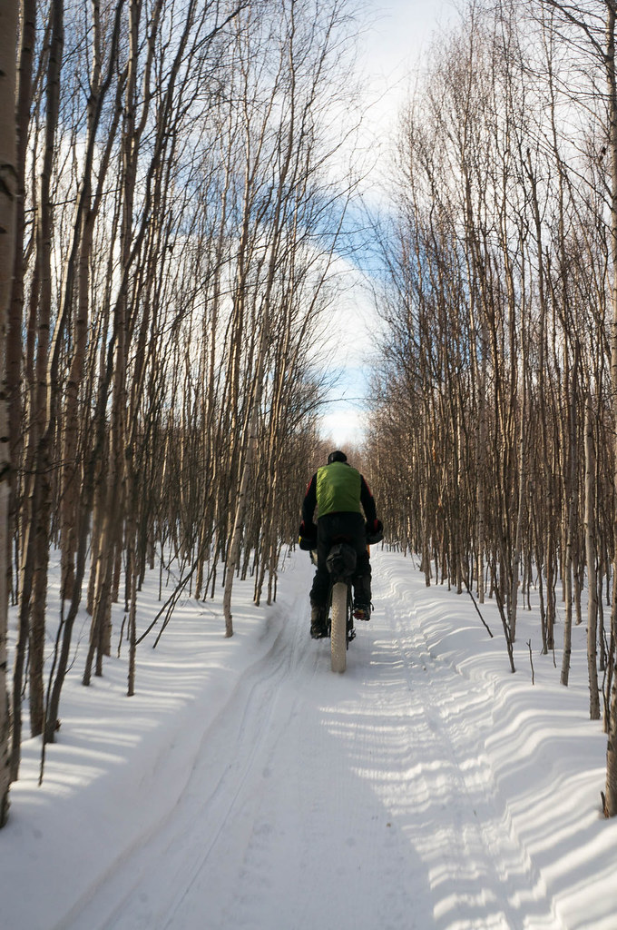
I finally got on the trail at 2 p.m. or so — much later than I expected. The trail was in great shape, and I zoomed along to Takotna, a small community 20 or so miles out of McGrath. Just before reaching Takotna, I bumped into Billy Koitzsch, who had put on another event a week before on a similar route. He and a few other guys were returning from breaking trail for the two racers still in his event, and he told me they had broken trail to Poorman and it was “a highway!”. Or so I thought. I apparently misheard, or there was some sort of misunderstanding — as I was to find out later.
Outside of Takotna there are a series of hills as the trail follows a road over to Ophir. The climbs seem to take forever. My plan was to bike until I reached the first cabin, Carlson Crossing, but the trail was a bit slower than I expected.. Fortunately, on one of the hills I was passed by two guys on snowmachines, who invited me to stay with them in a cabin in Ophir. Hours later, I passed Tim sleeping on the side of the trail, and pulled into the cabin at Ophir.
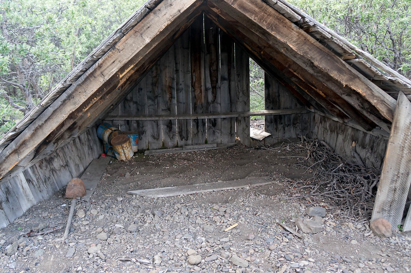
It was heaven: a small 10ft by 10ft shack, with two cheerful miners named Chris and Chuck on their way to work on a cabin on their claim further down the trail. They put me up in the loft above the cabin after feeding me dinner, and I fell asleep to them discussing life. It was a great way to end the day.
In the morning I headed out — after thanking Chuck and Chris — and zoomed down the trail. I soon passed Tim, who was looking chipper but seemed to be having issues getting the right pressure in his tires.
I arrived at Carlson Crossing in mid-afternoon, where I had lunch, loaded up my drop bag onto my bike, and headed down the trail.
My plan was to ride to the North Fork cabin, 40 miles or so farther down the trail. It was a long, bumpy 40 miles, and I arrived in the middle to the night.
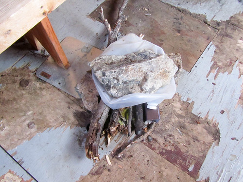
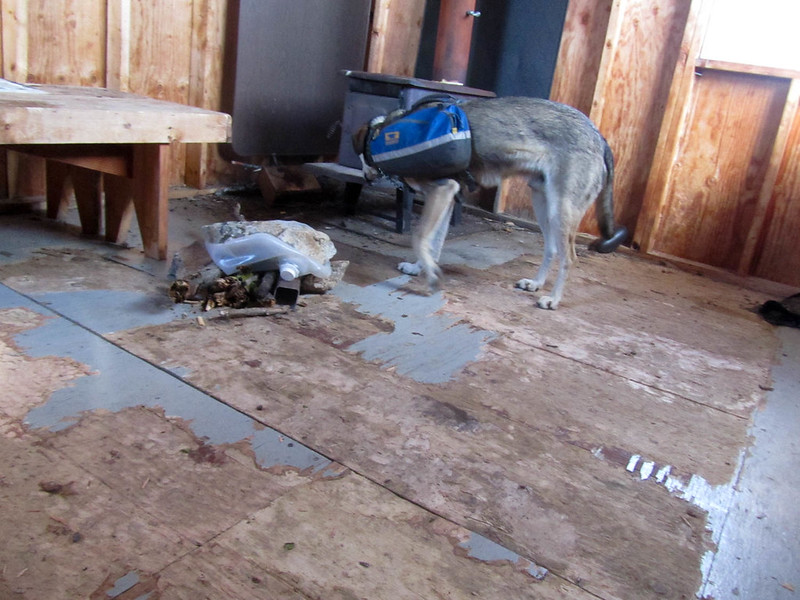
I was pretty surprised to see a walker’s sled outside, and when I stuck my head inside, I saw someone bundled up in a sleeping bag. Alas, the cabin was not very warm, so I hunted around to find more wood, restarted the fire, and alas woke up Jorge in the process. As soon as I got the fire going I hit the sack. I had been warned the North Fork cabin’s stove doesn’t work well, and it definitely doesn’t put out that much heat. Even loaded with nice dry spruce, it still wasn’t generating that much heat.
In the morning, I had a sleepy and disjointed conversation with Jorge. Apparently he was one of the two remaining racers in Billy’s Iditasport race. He left an hour or so before me, leaving me to melt snow and prepare for the day. Eventually I left, and rode for a couple of hundred feet before the snowmachine tracks turned around and the trail ended. Alas, I guess I misheard Billy when I talked to him in Takotna, as the broken trail ended here, well short of Poorman.
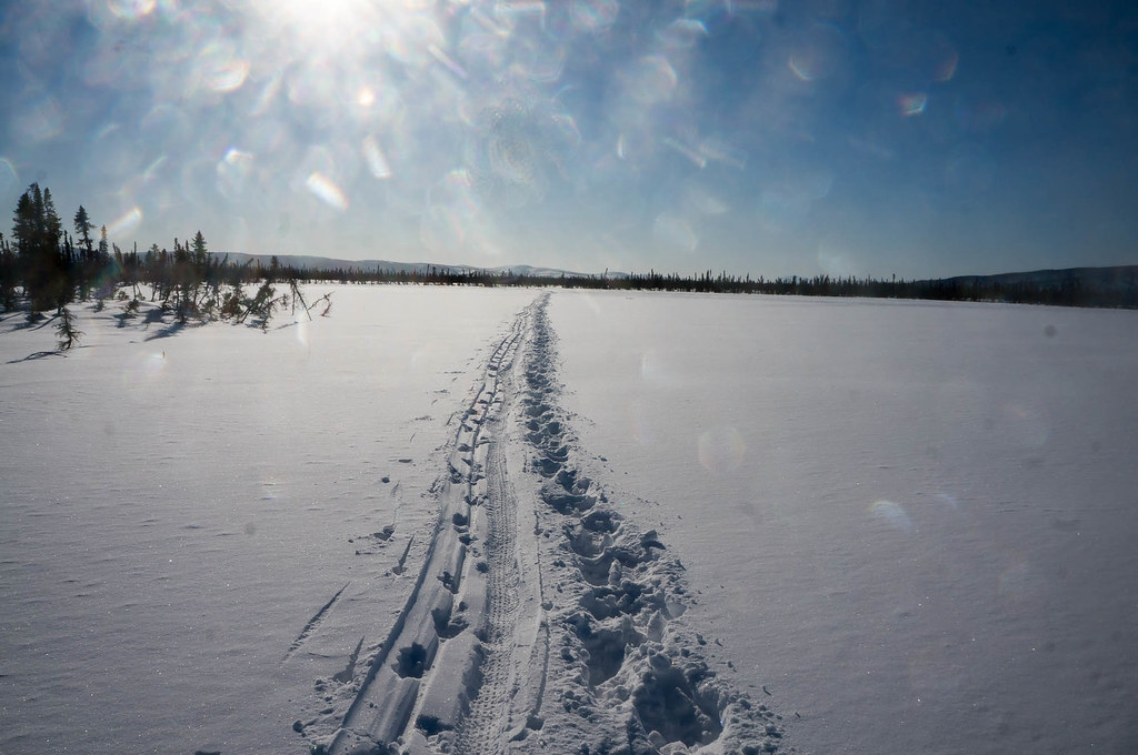
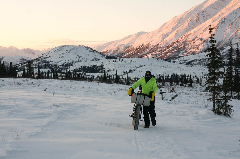
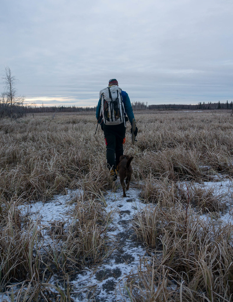
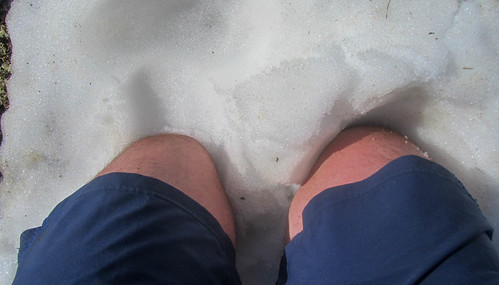
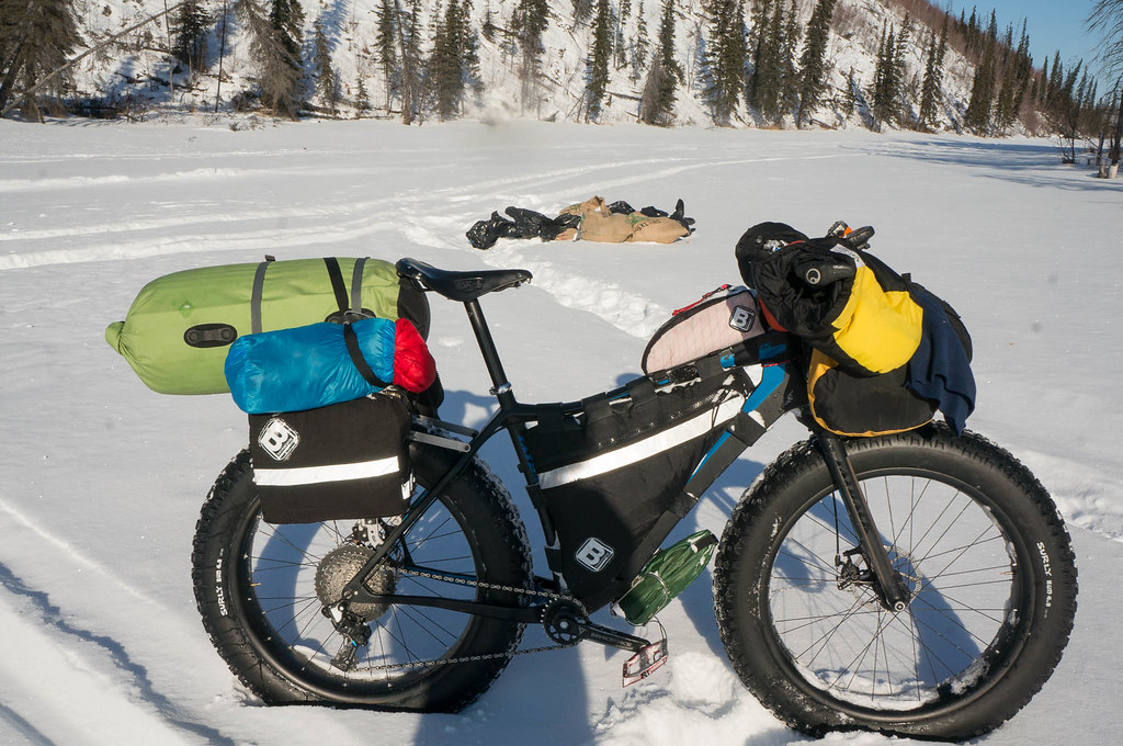
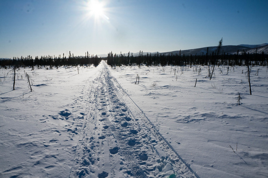
It wasn’t too bad, just six inches or so of snow over a nice firm base, but not very rideable. I tried riding, but there wasn’t a chance, and so it was walking. I walked for the next two days, following Kevin’s tracks and the tracks of the two Iditasport walkers. I felt very guilty as I walked long in Kevin’s tracks as he had done all the hard work by breaking trail. After a few hours I passed Jorge, who very kindly offered me some bread and cheese, but I passed as I had lots of food with me at this point.
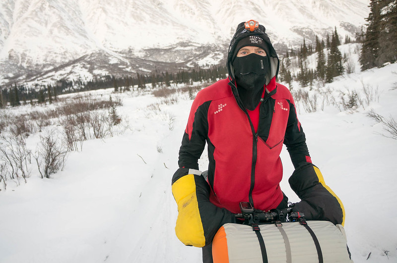
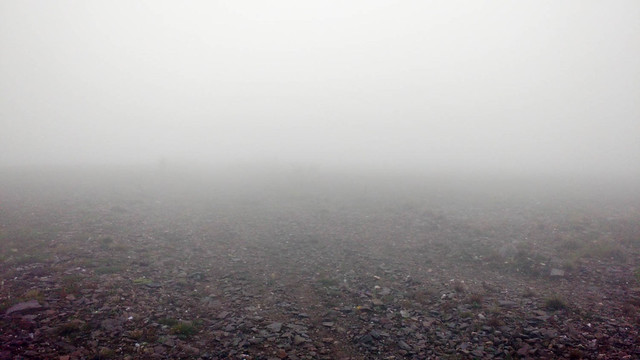
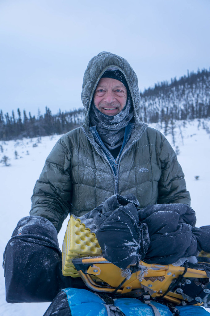
The was definitely the hardest section of the race for me. Walking the bike wasn’t bad, but the trail was lonely and isolated, with nighttime lows in the mid negative-30s. About half way there I figured I was taking a plane home as soon as I arrived in Ruby.
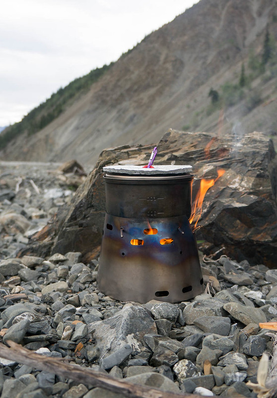
I was really glad I purchased a Thermos in McGrath. My original plan was to fill it with a hot drink, like chai or coffee, in the morning and drink it during the day. Alas, the Thermos kept stuff too hot to drink, so instead I tried filling it was boiling water and using that for a midday freeze-dried meal, and one for the evening. That worked so well I started skipping filling it in the morning, and started filling it in the heat of the midday sun, and using it for dinner and breakfast. That worked fantastically! I should point out this is a cheap “traditional” Thermos, which appears to work much better than the more upscale ones like Hydroflask .
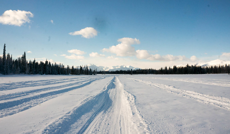
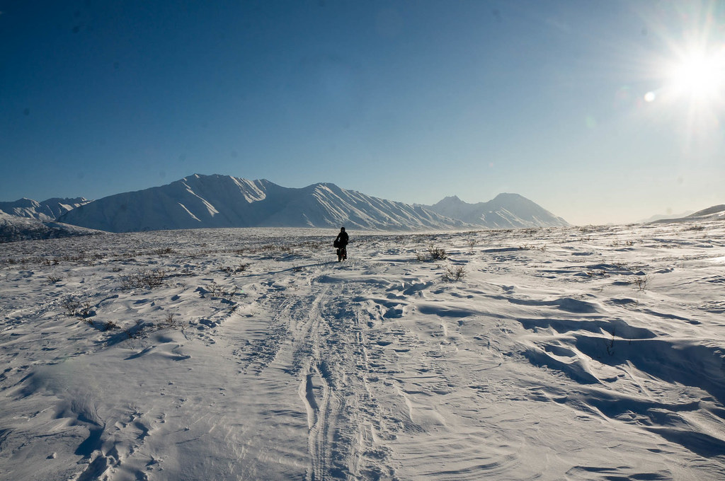
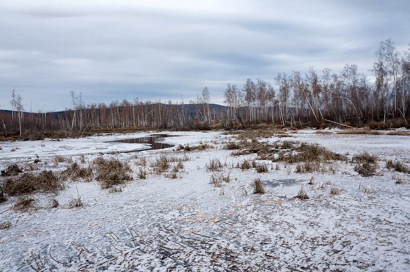
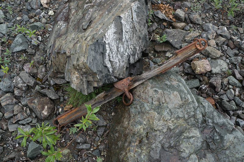
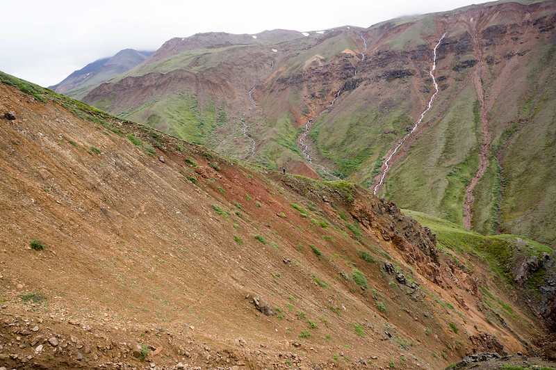
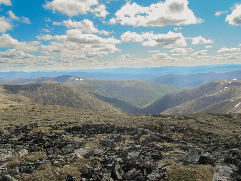
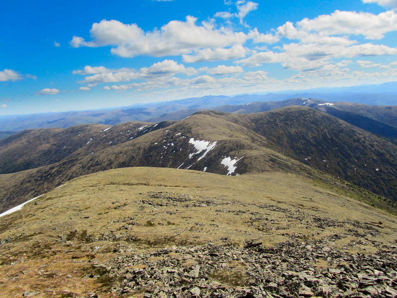
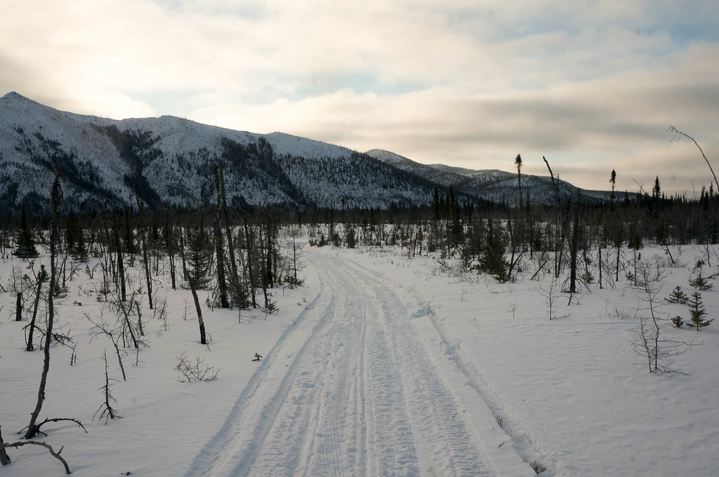
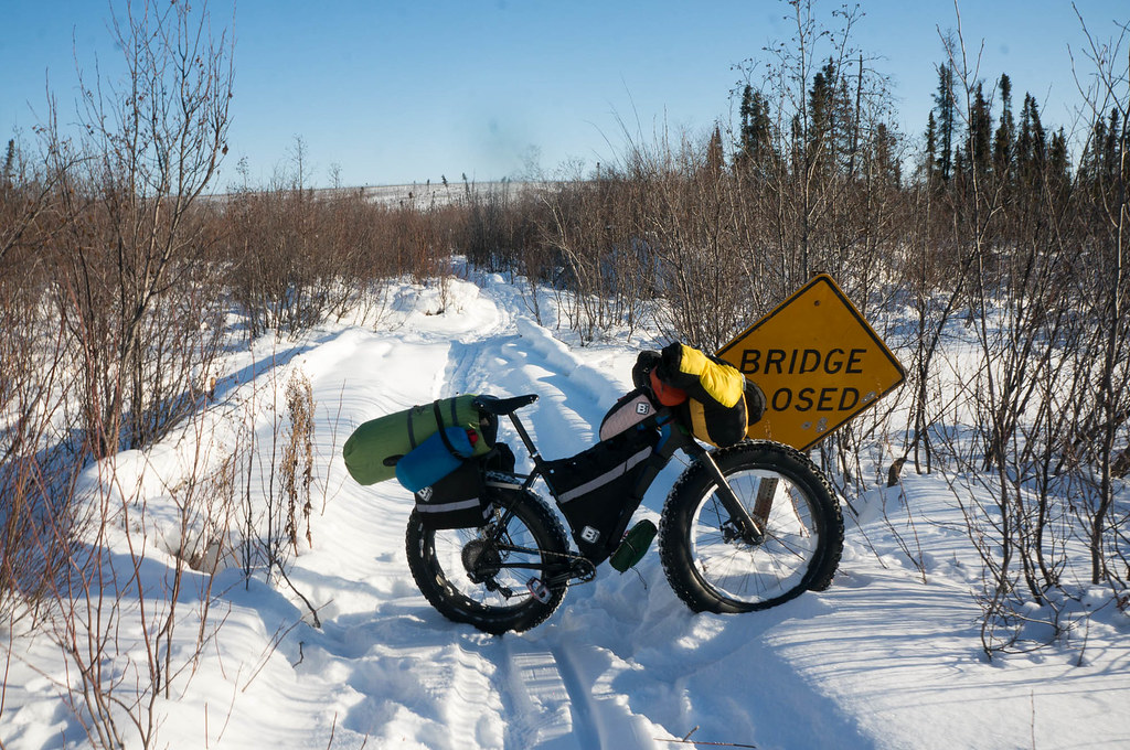
The trail winds through flat swamps and fields from the North Fork cabin, eventually reaching the abandoned town of Poorman. Poorman is nothing more than a series of dirt roads winding through piles of old tailings and giant heaps of 50 gallon drums. I believe the Iron Dog has a building here, though I have not seen it. At Poorman the hills start, and the trail winds up and down little hills and ridges though old burns, across a giant old bridge at the Sulatna River, then onto an old road that leads to Ruby.
I was amazed Kevin pushed through this section by himself. When he left Mcgrath he had no idea who was going to be following him, and how far they were behind him. He was truly alone in this section, and I will be forever impressed that he pushed through it alone, breaking trail for almost 60 miles. To me, this was the stand-out performance in this year’s race.
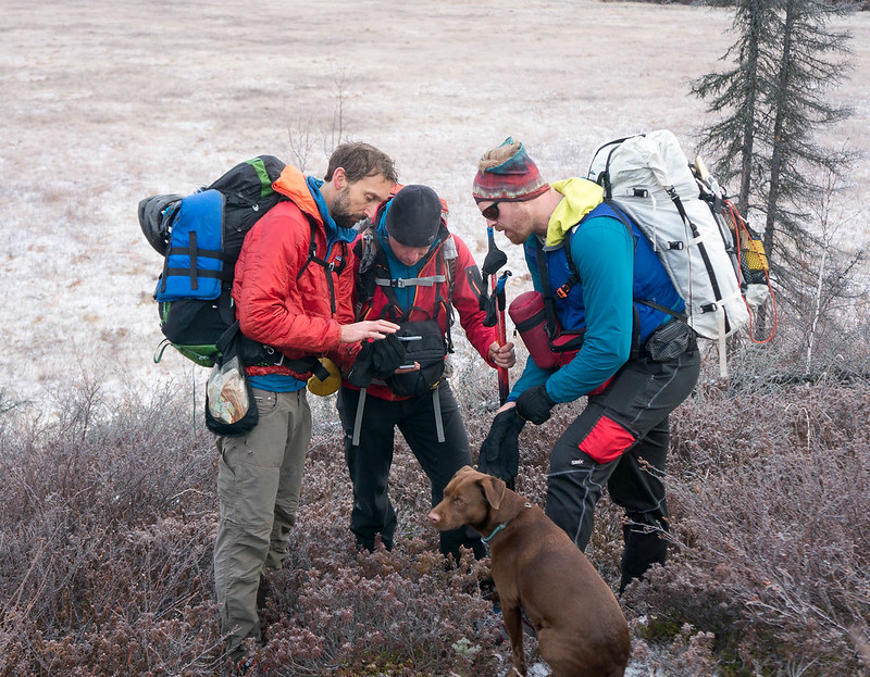
After Jorge, I didn’t see anyone for another 36 hours, when I bumped into Kenton, one of the guys filming the race.
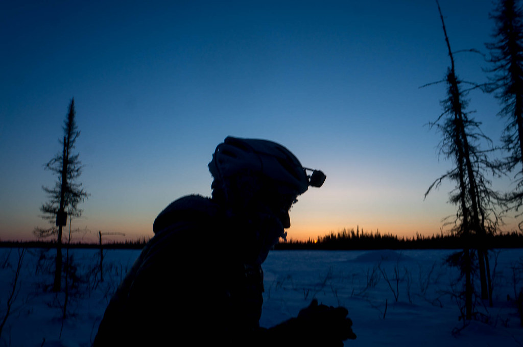
Jon and Kenton of Asymetriq were trying to make a film of the race, and had been following the race since the start, though I hadn’t seen them for a while. Kenton had snowmachined out to the end of the trail outside Ruby, then hiked a few miles to watch me push my bike. It was a bit surreal, but nice to see another person. Once I saw Kenton I knew I had good trail nearby, so I kept pushing, and soon I was on a nice firm snowmachine trail. Alas, as soon as I started riding I noticed a few issues: my free hub was behaving a bit wonky and my rack was all wobbly. A quick inspection told me I had sheared off one of the rack bolts, alas. I used bailing wire to sort of secure it, and rode on to the top of the nearest hill, pulled off the trail, and bivied. Kenton had caught up with me, and set up a camera to take a time-lapse of my bivy spot, hoping (I think) to catch some aurora. I don’t think there was any aurora, but I did have to go pee in the middle of the night. Hopefully that doesn’t feature in the film.
In the morning I packed up, and headed down the trail. Alas, when I bivy I am so comfortable I have a tendency to oversleep, and I didn’t get moving all that early. At midday, it was warm enough that I tried to actually fix my rack, and with a bit of fiddling I replaced the broken rack bolt and I was back in business. I was still having issues with the occasionally funny noise from my freehub, but it was still working, and that was all I needed at this point. The next 30 or so miles were super boring, going up and down, up and down on a wide snow covered road until I reached Ruby. I was very happy to arrive at Ruby, and wandered around town a bit, trying to find the home of Scotty, a local teacher who offered to host me. Eventually I found Scotty’s house, just as he arrived from school. He let me into his place, sat me down in front of the fire, and handed me a huge bowl of soup. It was heaven, and soon the thought of bailing and flying home was gone.
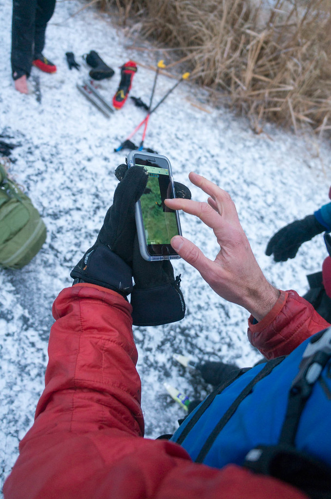
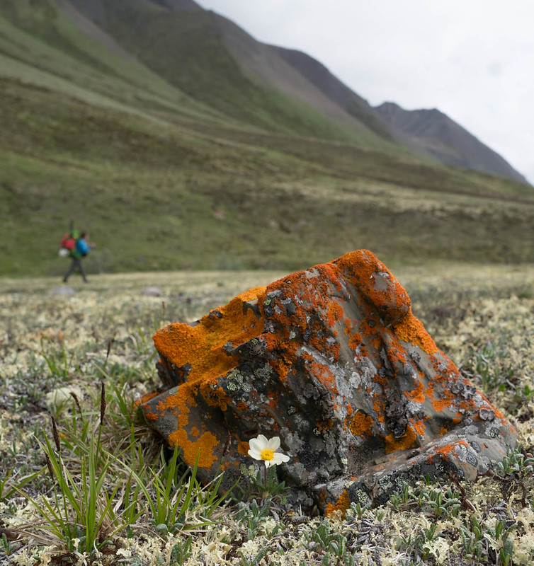
I am sorry for the lack of photos. I had a fair bit of trouble with my Sony Nex 6 in the cold, and thus I was not very motivated to take photos.
More come.