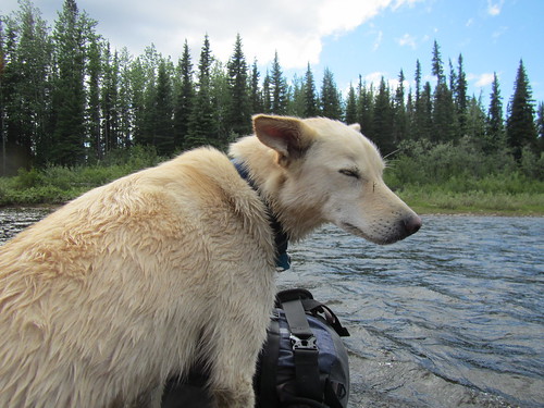
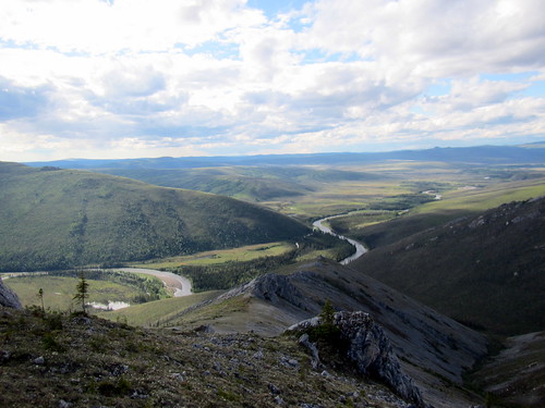
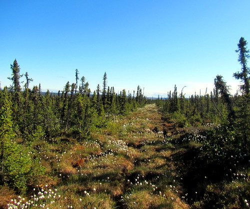
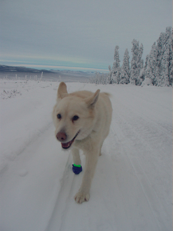
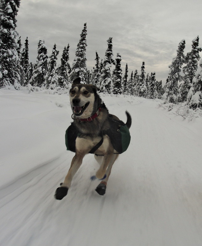
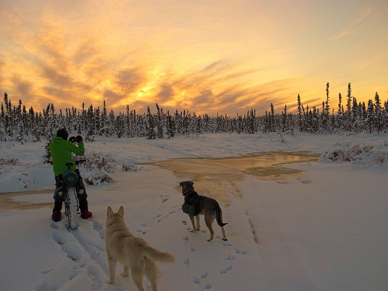
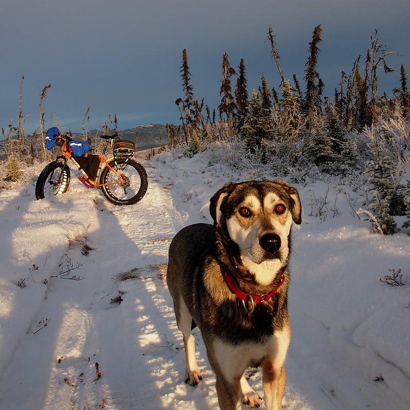
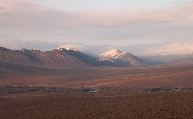
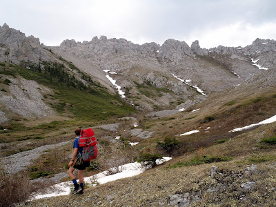
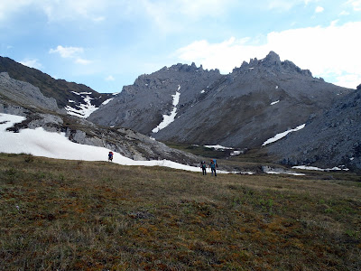
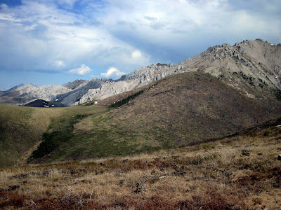
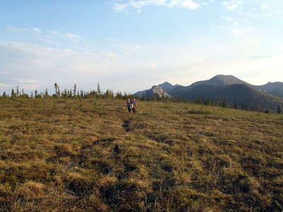
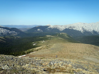
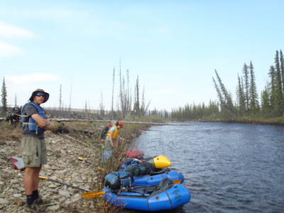
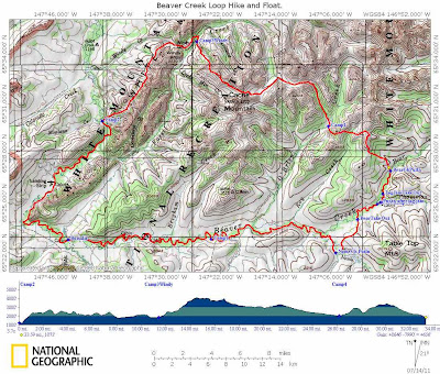
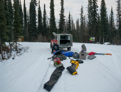
Winter has finally arrived here in Fairbanks, and while we now have enough snow to ski in some areas, the water levels on the rivers has been unusually high, probably due to all our late season rain. After some discussion, Heath, and I hatched a plan to float Beaver Creek from Nome Creek to Borealis Cabin, then to hike out to the Wickersham Dome mile 28. A few days before the trip we received word that the winter trail had enough snow to ski, and that snowmachines had been out on the trails, and so we switched up our plans and added skis in the mix. I was pretty worried about Nome Creek road, but fortunately I was able to get in touch with a musher to lives in the area, who said the road was still drivable. Hoping for the best, we headed out early in the morning, hoping to make it in without major trouble. The road turned out to in okay shape, with only a few sketchy sections, and Heath’s wife Audrey dropped us uneventfully. A huge thank you to Audrey for helping with the car shuttle!
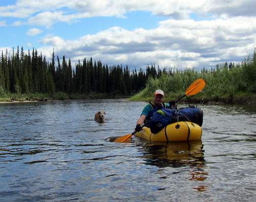
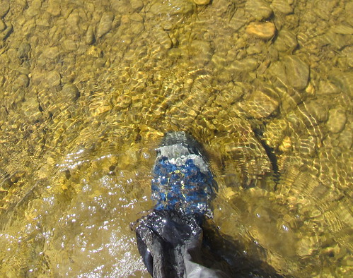
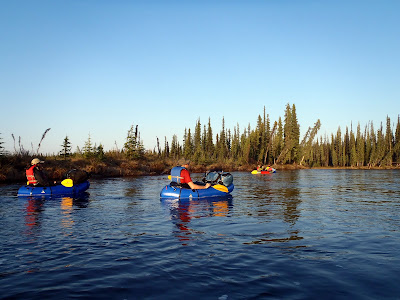
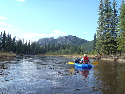
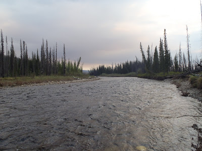
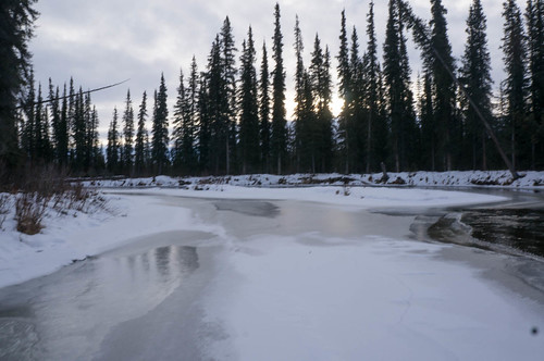
The water levels on Nome Creek were about what I expected, given the gauge was reading 2.7-ish, though there was a lot more shore ice than I was expected – uh-oh! We left Audrey to drive back to town, and headed down the creek.
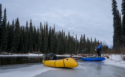
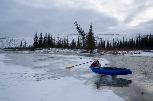
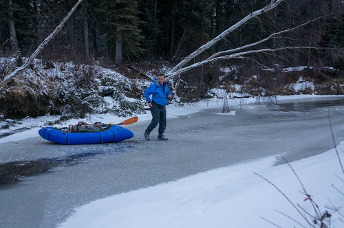
I was very excited to do my first “seal launch” in a packraft – sliding into the water from ice was super cool!
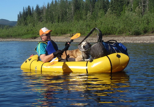
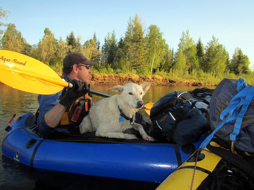
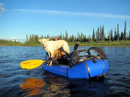
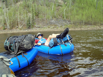
Pretty soon we had to portage around a section of the creek with ice all the way across, but otherwise the floating was fun, and the contrast of the snow with the dark water and trees was amazing. After a few more portages we made it to confluence with Nome Creek, where, alas, the volume of water coming in from the main channel was less that I would have liked to see. It wasn’t the end of the world though, and the floating was still pretty fast. Heath is a pretty consistent paddler, so we spent much of the float paddling away.
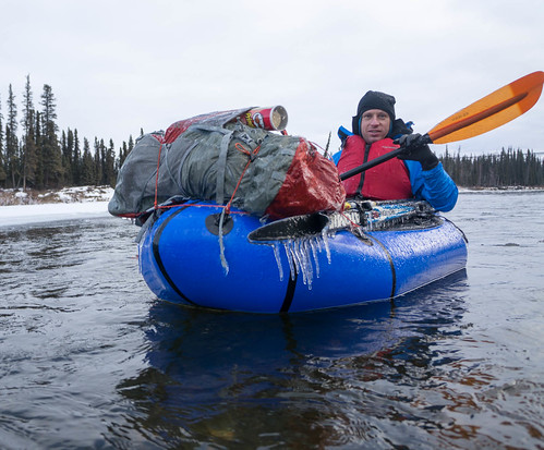
I did learn I made a serous tactical error when picking my gloves. I have a pair of three fingered diving gloves, but I couldn’t find them, and so resorted to using some thinner neoprene gloves I could actually find. Alas, they were not warm enough, and I spent most of the float dealing with cold fingers – my own fault for not being more prepared! I did discover that I could make my hands much warmer by moving the cuff of my dry suit past my wrist, which did wonders for keeping my hands warm.
We saw a fairly diverse amount of wildlife, including 4 moose, a beaver, ducks, lots of grayling, and at fairly close range, a bear. The bear encounter was pretty funny. We came around a bend, and Heath was up front. Just as he came up on a stand of trees, I noticed a very large brown bear leaning out over the bank, appearing from my point of view to be looking down at Heath, getting ready to jump at him. Heath was digging around in his deck bag, and for a few seconds I thought he was digging out his camera to get a photo, then decided he hadn’t seen it and shouted something silly like “Heath – bear!” Heath then turned around, with a sandwich in his hand and we both started “Hey Bearing”. Fortunately, after one short growl, the bear took off and we didn’t see it again. It definitely provided a nice adrenaline boost!
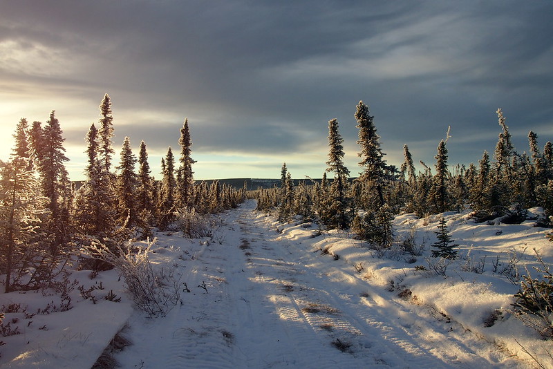
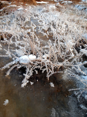
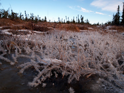
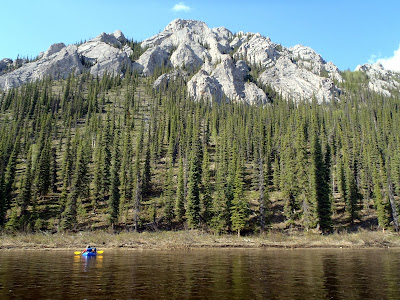
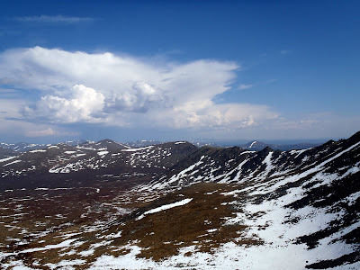
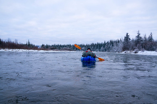
The float was a very interesting experience. As the day progressed, we started seeing more and more ice, and by the end of the day the river was at times packed with small pieces of ice, and a few larger bits.
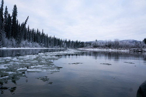
Occasionally it was hard to paddle, as there wasn’t always room get your paddle into the water. Fortunately Beaver Creek is pretty mellow and there are not any rapids of note, and wide enough that there were few sweepers. It was an awesome experience, listening to the hiss of the ice bumping around as we floated along. We did have to portage one small ice jam, which fortunately wasn’t a big deal. Ice built up on our packs and our paddles, but didn’t seem to stick to the boats at all. I was a bit worried that my boat would be punctured by a sharp piece of ice, but that didn’t happen, and eventually I just started plowing though the ice. Alas, we spent the last few hours on the river in the dark, which made for a bit of a stressful end to the float. I was very happy to see Borealis cabin! On the upside, while trying to see how deep the water was I saw a huge grayling just off the edge of the shore ice. After looking around, it soon became apparent there were grayling everywhere, and by the light of our headlamps they stood out in the water like ghosts – an amazing sight!
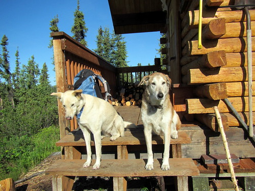
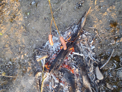
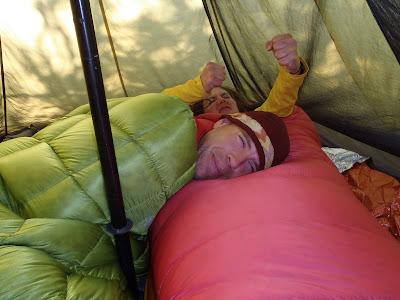
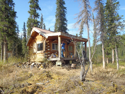
We arrived at Borealis, and I was very happy to take my dry suit off and enjoy a nice warm, dry cabin. I had brought an InReach gadget that allows (supposedly!) two way texting using satellites, but alas, after two hours of fiddling I couldn’t get it to receive texts, just to send them.
I have had it work great in the past, but this time I couldn’t for the life of me get it to stay connected to my smartphone, which was a huge bummer as we were pretty worried about Audrey making the drive back out on Nome Creek road, and I was sort of counting on it to arrange a ride back with my friend Tom. Fortunately the tracking feature was working, however the messaging part was a bust. YMMV. I am not sure I am taking it on any more trips..
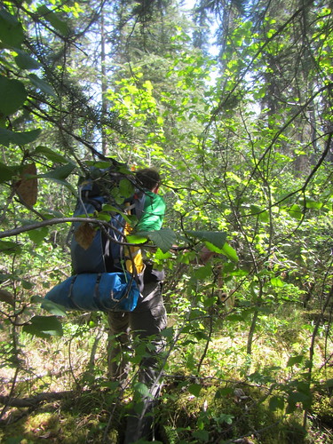
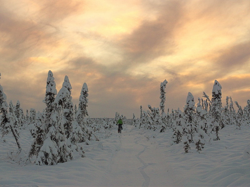
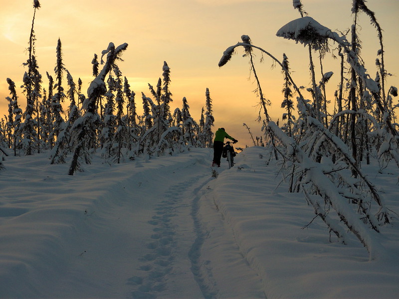
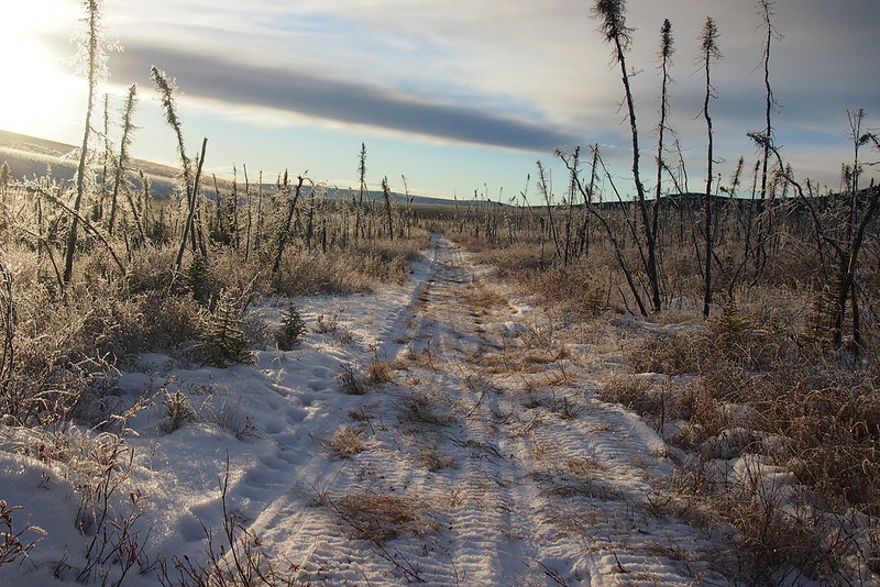
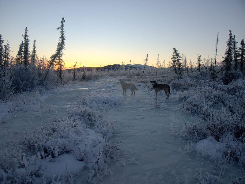
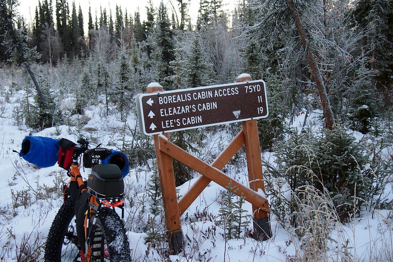
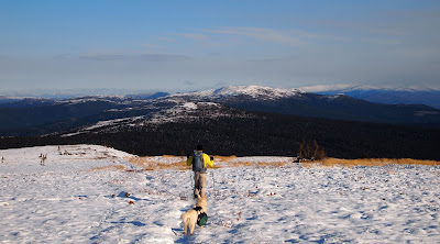
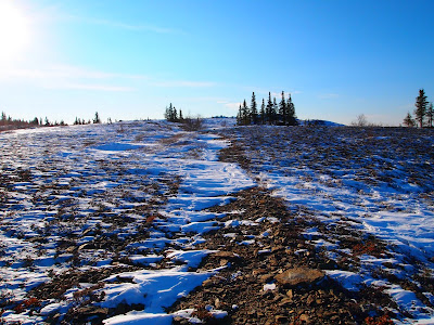
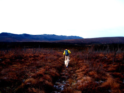
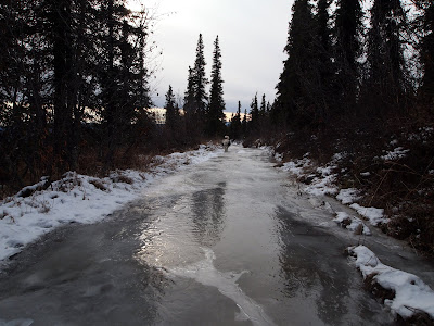
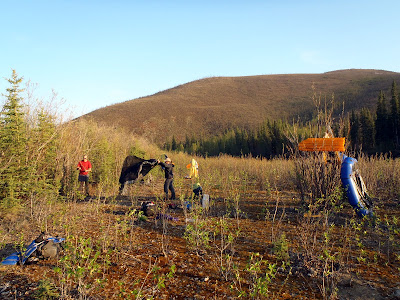
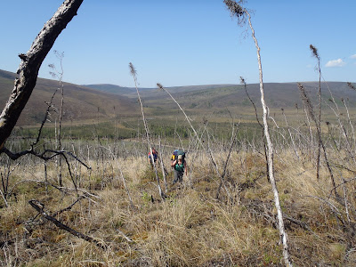
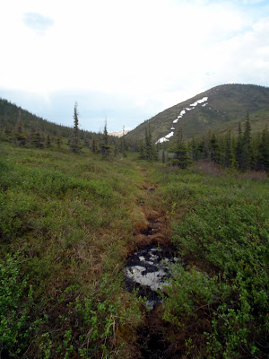
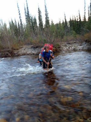
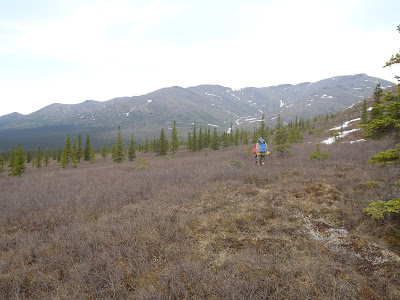
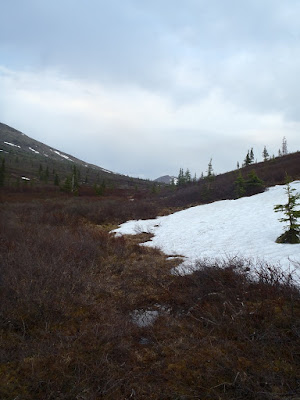
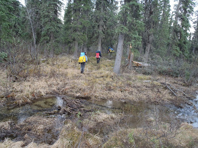
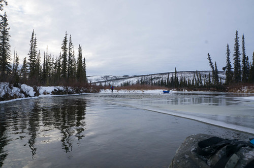
The next morning we headed out, crossed the creek in the pack rafts, and started over to the winter trail. There is a little creek that is often not very well frozen a half mile or so from the main river, so we dragged our pack rafts behind us like sleds, which worked great. Pack rafts apparently make pretty good sleds!
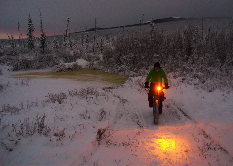
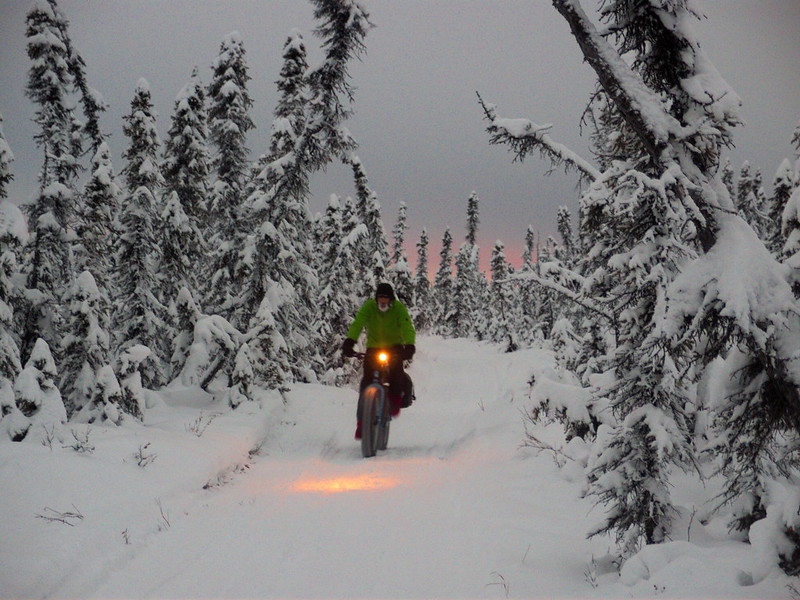
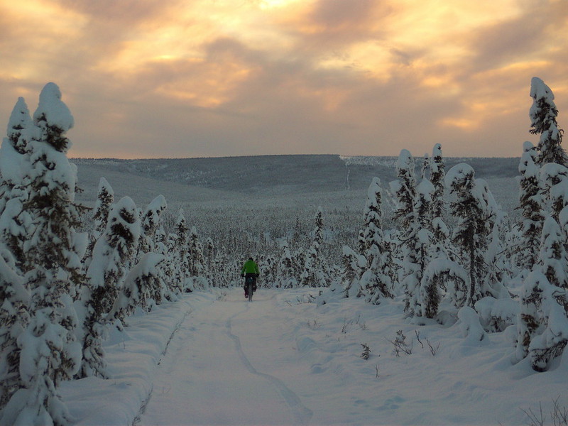
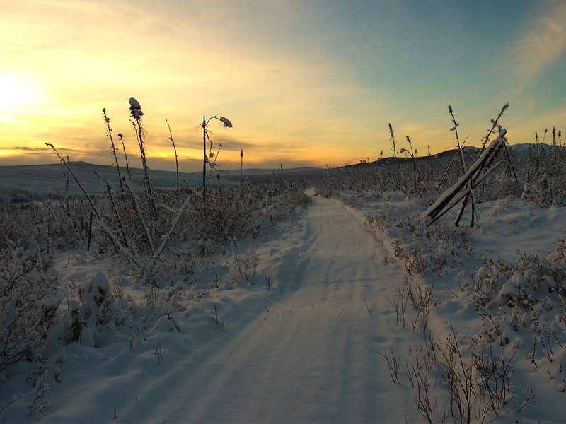
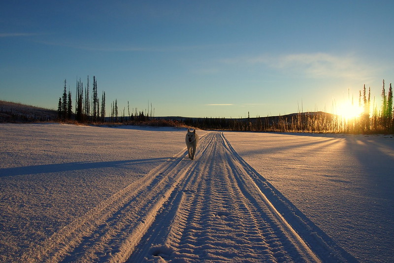
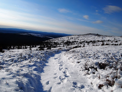
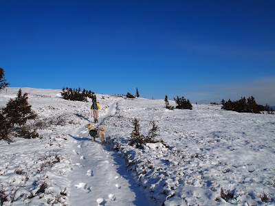
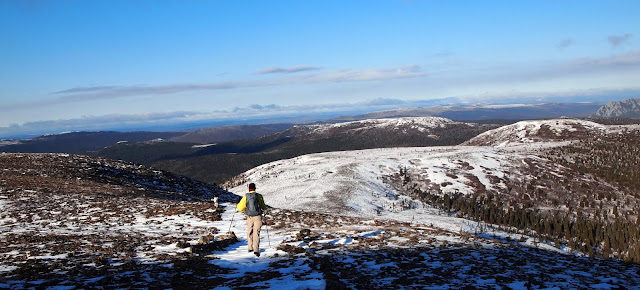
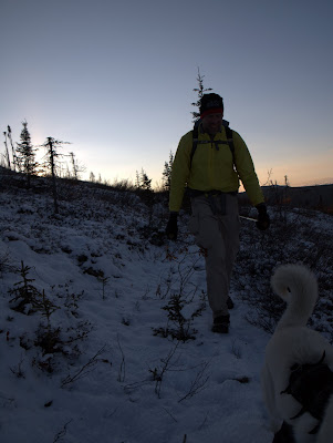
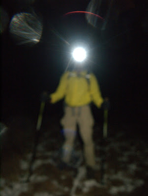
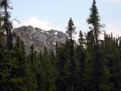
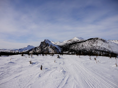
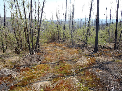
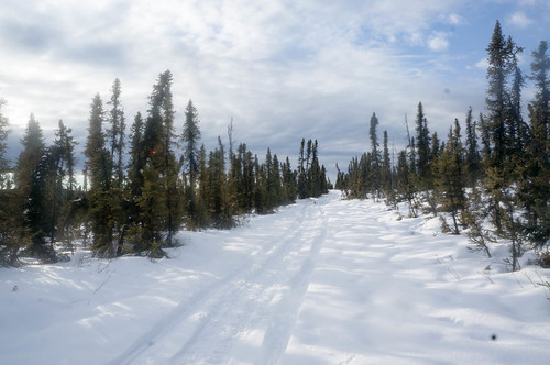
The creek turned out to be frozen, but I was excited to see snowmachine tracks on the other side – the trail was broken out! We packed up, put on skis, and enjoyed a fantastic ski out. The snow was fast, and the skiing was great, considering there was only 10″ of snow.
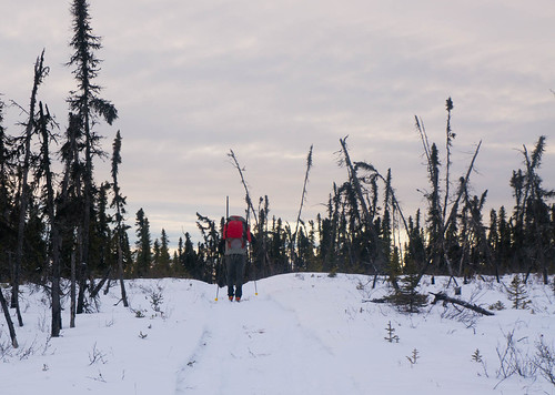
We zoomed out, enjoying the fast snow.
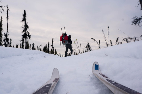
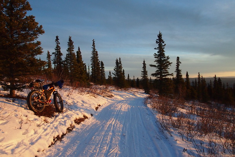
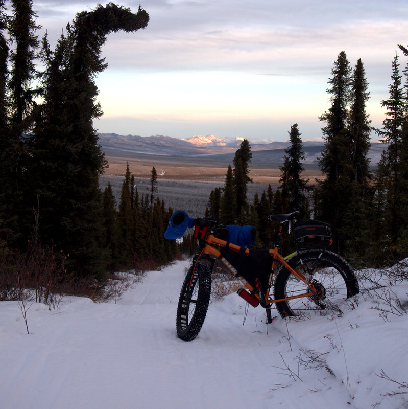
I was annoyed to find out that my packrafting pack, a older Arc’teryx waterproof pack, is moderately horrible for skiing – its skinny tall shape and minimal suspension made it very tipsy and it was constantly trying to tip me over. I survived though, and really enjoyed the ski out. At about halfway Heath got enough cell signal to receive emails and to learn Audrey made it out safely, and I called our ride, Tom, to make sure he was still going to pick us up, and that he knew the skiing was fantastic, and should come early and get some skiing in. Tom said he was on his way, and we ran into him about 3 miles from the parking lot, out for his second ski of the year. The remainder of the ski was uneventful, though I did have a crash right in front of Lance Mackey who was training his dog team with a 4-wheeler. I think he was amused, but I felt pretty self conscious trying to get up with a heavy pack while he was waiting for me to get out of the way.
A huge thank you to Audrey and Tom for providing rides – this trip wouldn’t have been possible without you guys, and major kudos to Heath for coming up with the original idea and making the trip possible!
Heath said several times this trip is definitely something to do again, and I 100% agree – it was a fantastic experience.
I think I would do a few things differently:
- I would bring “real gloves” or something a lot warmer than the thin gloves I brought. If anyone has suggestions I would love to hear them.
- I would bring something to help get out of the water and onto the ice. I think a several foot board with a leash with some 16d nails in it would be very handy, or perhaps the small ice picks like ice fisherman use. The board could probably be burned once the floating was done, and the nails salvaged.
- I debated bringing my dry suit, and ended up bringing it, and was very happy I did. It made this trip possible, and more importantly fun – it would have been fairly miserable without it unless I was very, very careful to stay dry.
- Heath used Alpacka’s semi-dry suit, and loved it. I think I have one of those in my future!
- I would leave earlier so the end of the day floating in the dark wouldn’t be necessary. I might try camping at the put in to get an early start, or breaking the float up into two days.
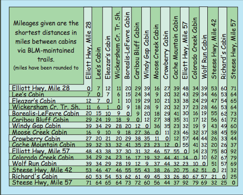
- Other versions of this trip abound: coming out to the Colorado creek trailhead, to mile 28 via Crowberry, or back to Nome Creek would be fun and possible. I expect the winter trail would be skiable in the more remote areas, but of course it wouldn’t be broken out.
- I wouldn’t do this trip if there were lots of ice at the put-in, it is a long way out via any of the reasonable bail-out points.
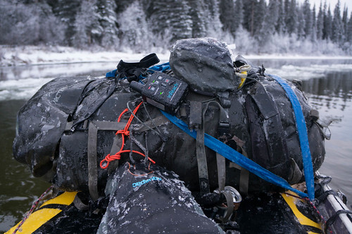
- I need to rework my pack attachment system for winter floats. I use two straps with “ladder buckles”, but they iced up and were very hard to undo. Heath used P-cord and it seemed like he had fewer problems.
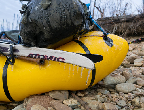
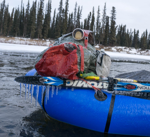
- I used Surly junk straps to attach the skis to my boat; that was a mistake, as they took forever to get off, because they were so iced up.
Sorry for such a long post — this trip was fabulous and I thought it deserved enough words to do it justice!