It was near midnight, and Ned and I had just dropped down to an old road, flanked by huge thickets of alder. It was like walking in a tunnel, but I was oh so excited to finally be walking on a firm surface again after hours of tundra and tussock walking. As we made our way through the leafy tunnel I could just barely pick out an old camping trailer that has been taken over by the brush. As we got closer I noticed a weird grunting groan was coming from it.
I was starting to panic, thinking it was a bear huffing at us. I started shouting in an attempt to scare it off, and grabbed some rocks to start chucking in case something came rushing out. Ned, perhaps more wisely, shouted “Mark, is that you?”, thinking that perhaps Mark Ross, the AlaskAcross “promoter” who had taken a route around this patch of brush, was playing a practical joke on us. After a long minute of looking in the brush, and realizing the noise wasn’t changing regardless of our shouting or a rock or two chucked, I moved around until I could peer into the trailer. Inside, a big porcupine was chewing on the floor in a loud but very non-threatening way. Crisis averted, we headed down the trail with an extra adrenaline powered skip in our step.
—
AlaskAcross is a local point-to-point human powered unofficial “race”. It was traditionally from Chena Hot Springs to Circle Hot Springs, but Mark Ross has been experimenting with other routes. This year’s route was from mile five of the Dalton Highway to the Wild and Free homestead in Eureka. In a straight line it was about 46 miles, but unlike the classic route, there were no floating options (that I was aware of, anyway), so it was all walking. I had marked out a route sticking mainly to ridges, which I hoped would have good waking. Given that it was around 60 miles, I expected we were looking at 30 hours of walking. My default partner for these events, Tom, was away in Valdez so I emailed Ned Rozell to see if he was interested, and he emailed me right back saying he was in. Hurrah! Ned is a calm, steady walker who has done some amazing things in Alaska’s backcountry, including walking the entire length of the pipeline twice.
The morning of the event, Ned and I drove out to the Dalton, where we met up with a few other folks, including Mark Ross, the “promoter” as he likes to be called. Mark was in fine form, wearing a hat that appeared to be a wolverine hide that he called “wolfie”.

Mark always comes off as slightly crazed, and he was in fine form. Something can be said for the craziness, as he has been rallying folks for these long walks since at least 2007 – that is more than a dozen years of folks wandering through the wilderness getting a bit out of their comfort zone.
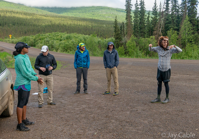

After a bit of futzing around, the eight of us took off.

Everyone headed down a narrow ATV trail, winding through the lowland and up to a ridge that we would take for nearly 25 miles. Gradually the pack broke up, and Ned and I were by ourselves, except for the distant dots that were Tracie and Brian, the eventual winners. The hike up the ridge was pretty good, but the ridge quickly turned into endless tussocks and cotton grass.
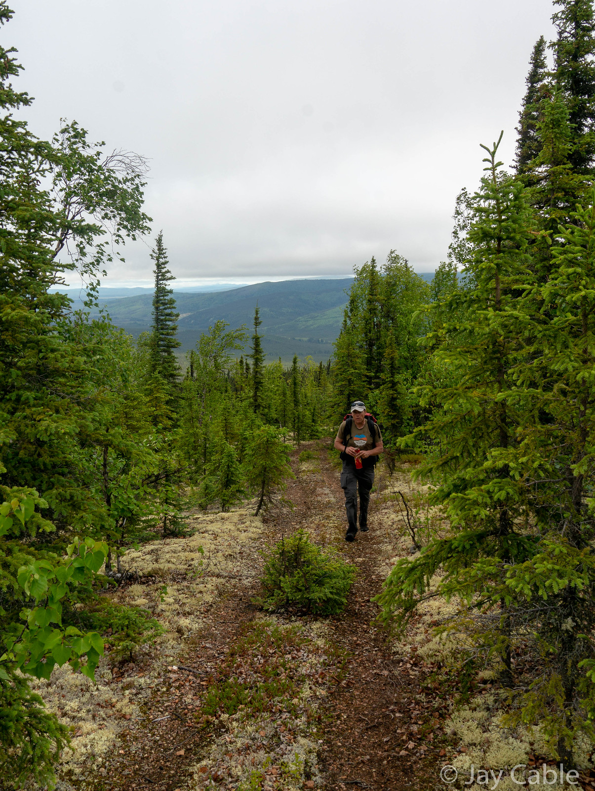


I am not sure what the proper name is for the white flowering plant that grows on the tussocks [multiple species of the genus Eriophorum — Editor], but it was everywhere.
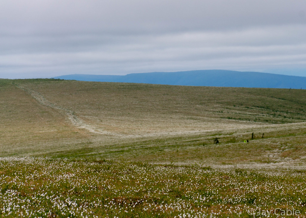
Fortunately, the walking wasn’t bad, as there was a nice ATV trail along the ridge, except for a few miles that were, alas, very brushy. It was very tussocky though, and would have been truly miserable if the ATVs had not flattened out the tussocks.

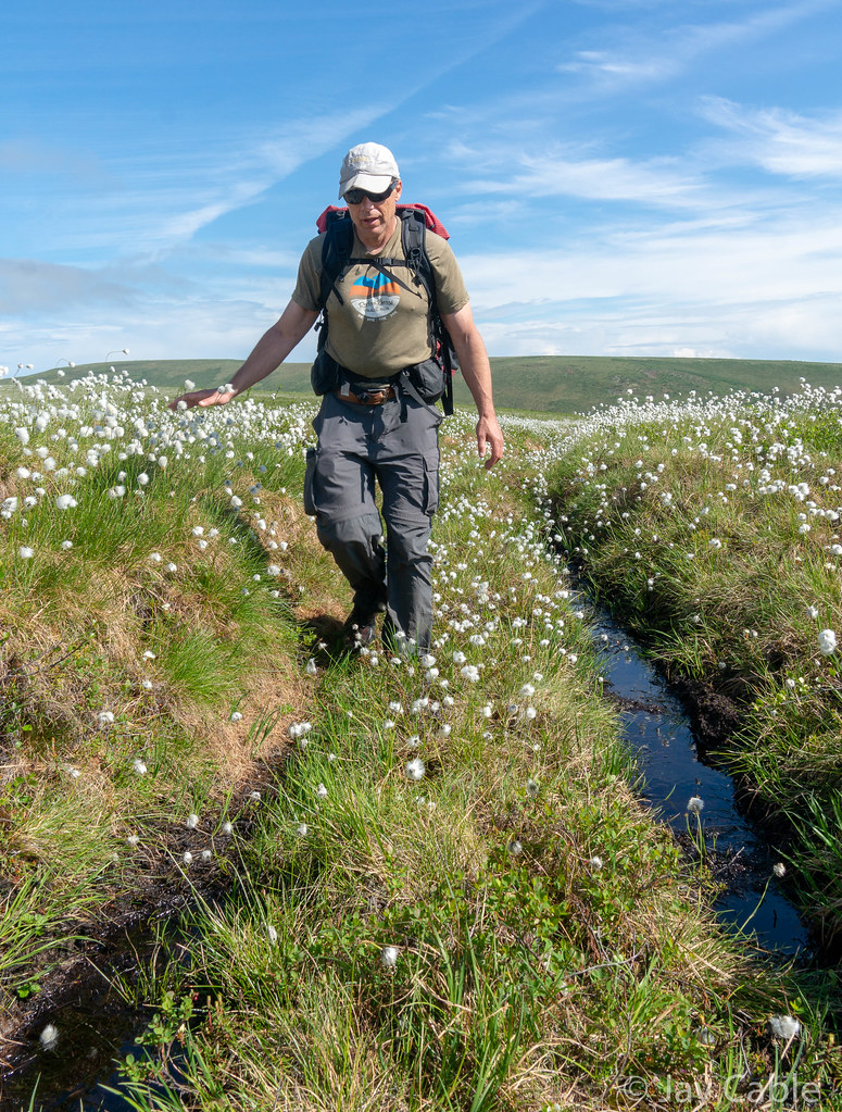
Twelve miles or so in Mark Ross appeared out of nowhere and joined us for the next 20 miles.

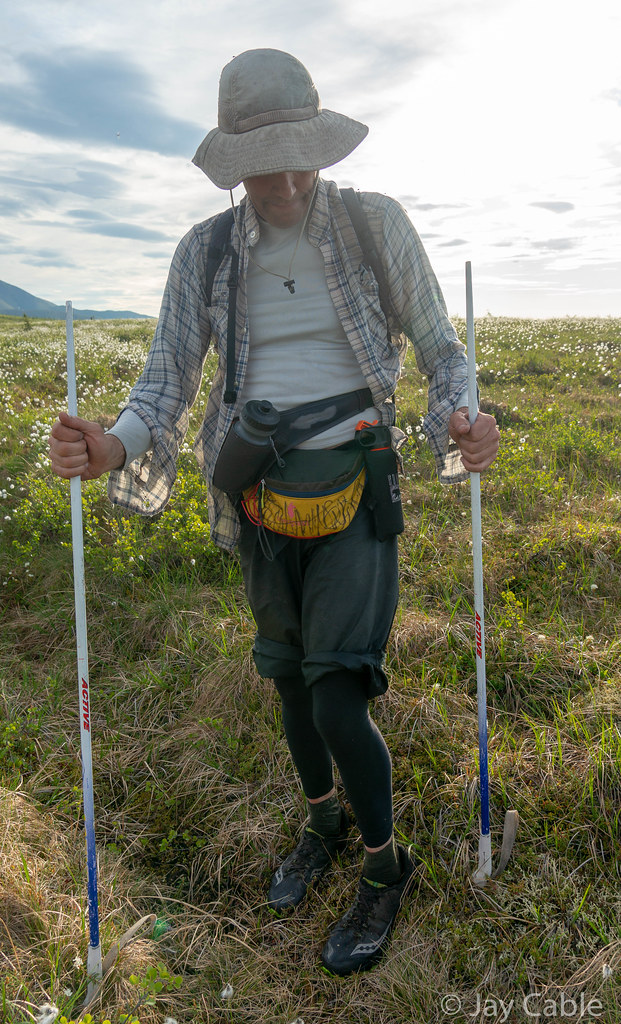
Apparently he had found what he thought was a great route, which included a different way up to the ridge. He was pretty surprised to see us and was irritated to know that everyone was ahead of us. Mark added to the adventure, as his “real” job is as a naturalist at Creamer’s Field, and he has a wealth of information on animal life in the boreal forest. At one point in the late evening he and Ned stopped to measure the active layer [meaning the depth of the thawed soil above frozen ground, if you’re not from around here — Editor] with his hiking poles in and out of the ATV trail. Mark had tactically removed the baskets from some ski poles and was using them as trekking poles, which made them easy to sink into the soft tundra and great for measuring the active layer, but not great for walking, so Mark was using them upside down or in “Tundra Mode” as Mark called it.
Later, when passing a small thermokarst [I’ll let you look this one up — Editor] pond, I stepped over a small frog, and pointed it out to Ned, who was excited enough to take a photo.
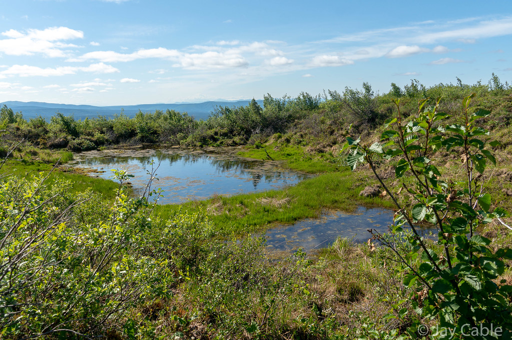
I guess wood frogs are not very common at 3.5k feet, well above treeline. There was then an extended conversation on how the frog could survive, with Mark providing a timeline of the exact terminal temperatures the frogs could survive, and how scientific thinking has evolved over the last 30 years, and how they can survive body temperatures down to 0°F. Life must be harsh as a frog on a ridge covered in snow for six` months..
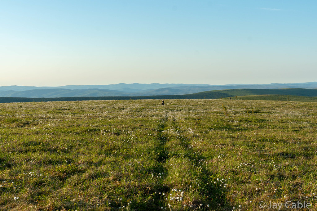
Eventually we dropped off the ridge onto the “Chocolate Creek Trail” which I had been told was nice enough to ride a bike on. It turned out to be an old road, probably put in to an antimony mine on Sawtooth Mountain, a ridge above us. Our first few minutes of enjoying the fine walking were marred only by the terrifying porcupine.

In the 1950s and 1960s, Joseph E. Vogler and the Killions hauled 500 tons of antimony out of the mine before the market collapsed overnight, and they left it semi-intact. Apparently at the top of the mine there are tons of antimony ore in rusty barrels still sitting there. Joe Vogler was a political figure in Alaska in my youth, and the leader of the Alaska Independence Party, which had seceding from the U.S. as part of its platform. He was killed when I was in college, and his body wasn’t found for several years, before showing up in a gravel pit north of town. Conspiracy nuts still think the CIA killed him to prevent Alaska from leaving the union. Walking the old mining roads made me feel like I was walking part of Alaska’s history – I was walking the roads that gave Joe Vogler his first start.
All that was left was an old road, a very overgrown runway, and a very creepy looking shipping container on wheels set up with bunk beds. We poked our heads inside the container, and I was surprised to see the door still latched. When I opened it, a huge cloud of bugs swarmed out. Alas, it was dark with no windows, and looked like it had a thick layer of mildew all over everything, so my motivation to poke around more and take photos was very limited.
A few hours later, Mark dropped off after pulling on a balaclava and saying he was going to take a nap. Ned and I trudged onwards, eventually ending up near Quail Creek, and after a bit of route-finding confusion we found ourselves walking through a quiet mine at 7am. It was very tempting to go knock on the bunkhouse doors and ask about the best route into Eureka, and maybe even get a cup of coffee, but we resisted, We walked through the silent equipment, eventually finding an ATV trail heading up Quail Creek, but alas it petered out. Soon we were bushwacking and skipping from game trail to trail, working our way up Thirteen Pup Creek. Pup is apparently a miner’s term for a very small branch valley or creek. Eventually we reached our final ridge, Elephant Mountain, a series of little peaks that are connected together. I was nearly out of food at this point – apparently my plan of 3000 calories of energy bars plus three monster cookies from Bun on the Run was not going to work. Climbing up the ridge was hard work on our slow legs, but we made it.
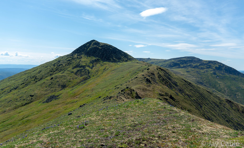
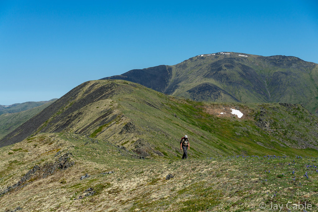
I was pretty confused about why Elephant Mountain was called what it is – when looking at it on a map it doesn’t look anything like an elephant. Stupid miners! Ned pointed out at one point that the northern ridges that are all exposed rocks had lots of little Elephant faces in them, thus probably the name. Silly miners, actually looking around them at the rocks instead of trudging head down though the tussocks!

On the first ridge of Elephant Mountain I inreached Nancy (my wife) to let her know that we were six hours out. Alas, those six hours included two half-mile-long tussock fields, a bushwack though alders thick enough I couldn’t see the sky at several points, and a winding spruce forest that seemed to never end before finally hitting a dirt road that led us to Eureka and the Wild and Free homestead.
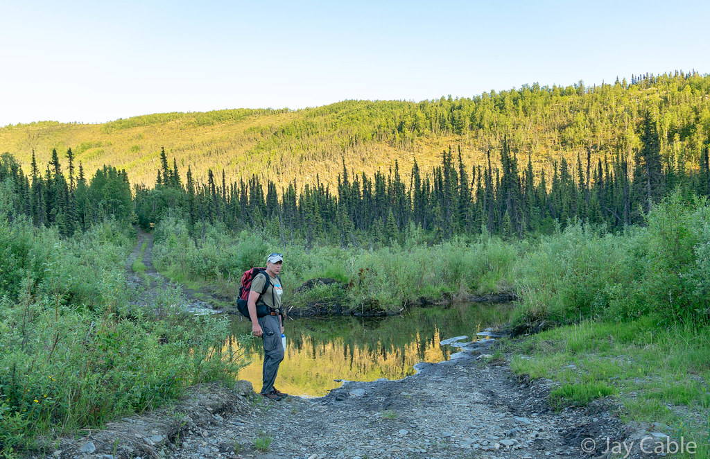
My friend Trusten was there to meet us, and I was so excited to see him. And he had pizza! After a few minutes of hanging out, we packed up and drove down the road to the Tolovana trailhead where we camped until morning, then finished up the drive home. Thanks Trusten!
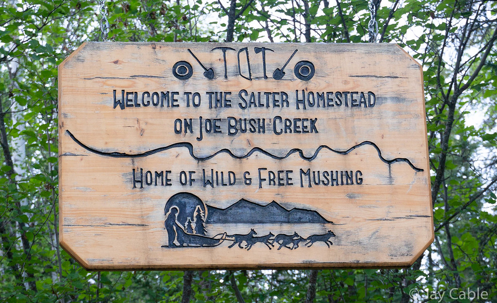
A huge congratulations are due to Brian and Tracie, who came in 12 hours before us and rocked the course!
A huge thanks to Ned for his company on this long walk – you rock Ned, I couldn’t have asked for a better traveling companion.
1.) Brian Atkinson & Tracie Curry 26hr 38min
2.) Drew Harrington & Chris Miles 29hr 13min
3.) Mark D. Ross 35hr 59min
4.) Jay Cable & Ned Rozell 37hr 18min
5.) Scott Brucker & Steve Duby (bailed to Elliot Hwy mi108)
Things that worked:
- I carried a bike bottle and a small ¾ liter water bottle. There was lots of water around, so that was more than enough. Perhaps later in the season that would have been a problem.
- My shoes – I have some “special” Montrail Mountain Masochist II shoes that I love. I love them so much I bought three pairs when they looked like they were changing the model. Alas, the model was changed, and these are my last pair of them. So sad. About 65 miles, and no blisters!
- Smartphone navigation – I had print maps, as had Ned, but mostly we navigated off an old smartphone of mine with the Lotus Maps app. It worked great, and kept us on course for the most part. I think the end of the specialized GPS is pretty much here – the apps like Lotus work so much better.
- A “real” camera – I brought my Sony Nex-6 with a 12-105 lens. That camera rocks, and takes much better photos than I can do justice to with my limited skills.
- My feet and body held up for the extended walking just fine. I had been pretty worried that without riding to Nome or doing anything else epic had dropped enough I couldn’t pull something like this.
Things that I should have done differently:
- I should have brought more food. I was going to bring a large bag of Fritos, but alas, my little pack was stuffed completely full. I should have added an extra 2000 calories at least, as I was rationing my food for the last 12 hours. It wasn’t the end of the world, but I should have brought more food.
- I needed to have brought a slightly bigger pack so I could pack more food (see above). I was using a small 12 liter pack, and once it had my “minimal” safety gear (small puffy, long underwear bottoms, shell, fire starter, first aid, water treatment, maps, phone) it didn’t leave a lot of room for things like food. I either need to use something bigger or pack better.
- I should have taken more photos (shipping container – I am talking about you!!)