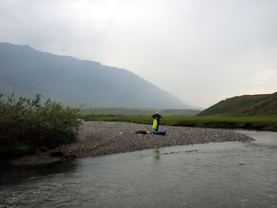
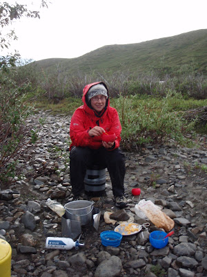
Posts Tagged ‘packrafting’

Gates of the Arctic, Day 7 and 8 – Into Wild Lake and out!

Tuesday, August 11th, 2009

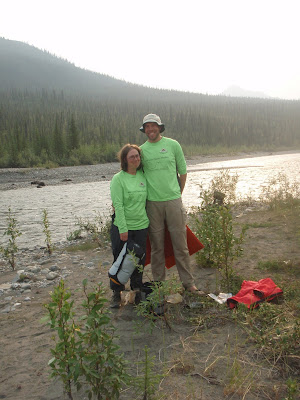
Day 7 started fairly smoky. Tom and Marsh only noticed after packing up camp that they had a wardrobe malfunction.
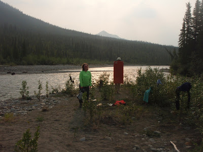
Yes, they both had brought their bright green equinox marathon shirts, and didn’t appear to notice that they both put them on that morning until after camp was mostly packed. Life is tough sometimes – they spent the next two days in matching attire.
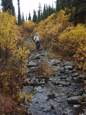
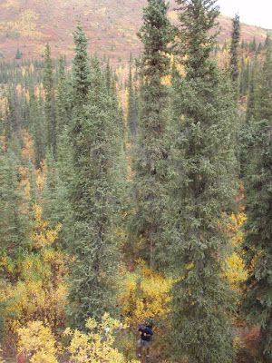
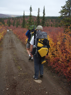
The hike out of the Tinayguk and into the hills around Wild Lake was the only bit of the trip though hard core swamp. The swampy section was brief but unpleasant.
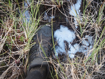
The swampy section quickly gave way to wonderful ridge hiking and stayed that way for the rest of the trip.

During our lunch break Tom and I compared the quality and quantity of leg scratches – Tom won I think.
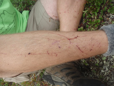
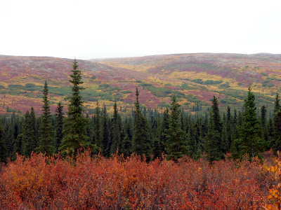
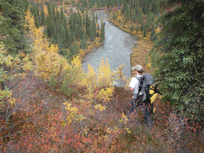
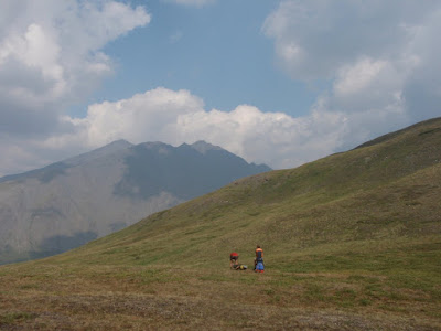
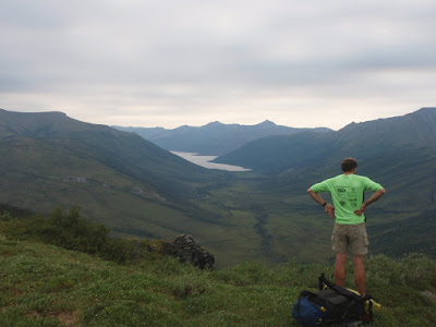
The hiking was truly spectacular as we followed a ridge surrounded by a series of high alpine lakes. As the day progressed the smoke blew away and it cleared up, giving us wonderful views of the surrounding peaks.

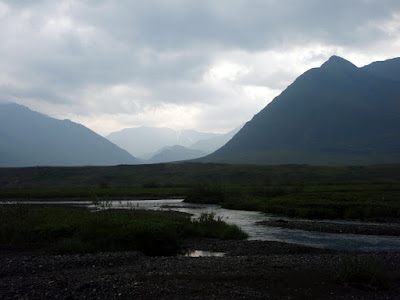
Eventually we reached our high point for the day and got our first sight of our final destination, Wild Lake.
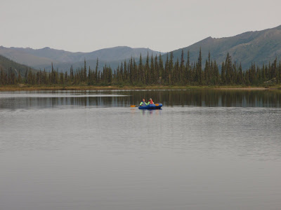
In the evening we camped on a alpine lake, complete with a flock of loons and a two large families of necrotic ducks. The ducks spent much of the night acting like marines training for a amphibious assault – randomly panicking and zooming across the lake, sporadic diving under water with loud quacking, and swimming up and down the one side of the lake in a strait line. Perhaps the mother ducks where drilling into the ducklings the proper predator avoidance strategies. It was quite interesting to watch – one second they would be quietly bobbing on the lake, all by them selves, the “quack, quack, quack” the mad panic drill would be begin. At first I though they were afraid of the loons, but soon it became apparent that they did this even when the loons where on the other side of the lake. The camp site was very beautiful, and I went to sleep with the sound of the loons calling to each other. And of course panicked quacking.

Tom and Marsh where not content to simply hang out, and inflated their boats for some flat water paddling. They did discover a large school of pike though, again making me wish I had brought a fishing pole.
The lake also had some very small fresh water crabs. When I first saw them I mistook them for spiders, but on closer examination they where actually crabs of some sort. The lake had a surprising amount of wild life for a apparently landlocked lake about a quarter of a mile across.

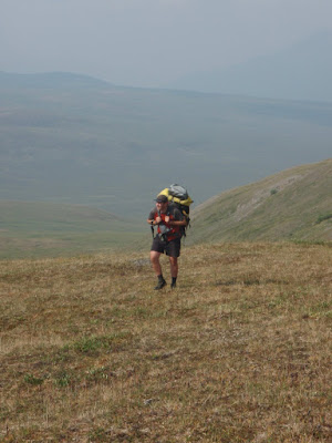
Day 8 began with a short but intense ridge climb, then a several hour trek along a very smoky ridge top. The visibility was quite poor and at its worst was less than a quarter of a mile.

When we finally dropped down into Wild Lake the wind changed direction and the smoke blew away. Alas, our final destination was on the other side of the lake, so the wind also made the lake difficult to cross, so we walked up the lake in order to get a good position to hopefully blow across. Marsh decided the paddle while Tom and I hiked the shore. It was a refreshing chance of pace – completely flat hiking with almost no bush.

After a quick dinner the wind died down and we crossed the lake.

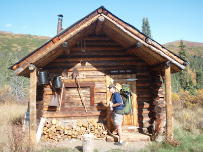
We spent the night at a friends cabin – thanks Trustin and Margette! It is on a edge of a 2006 vintage fire and went from a view of a dense spruce forest to a lake view with a nice patch of fire weed. The cabin was a great place to spend the last night on our trip.

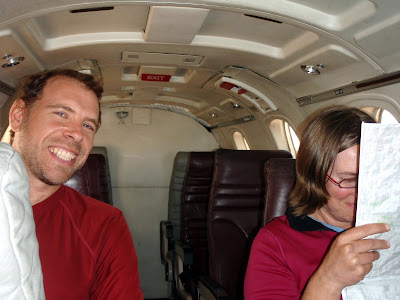
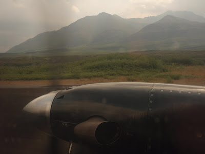
The next day we where picked up by a Beaver from Brooks Range Aviation. The folks at BRA are truly super! They put us up for the night in one of their bunk houses, gave us hot showers, and even made us pizza! I cannot say enough nice things about these guys – if you are planning on a trip in the brooks range or Gates of the Arctic these are the folks to fly with.
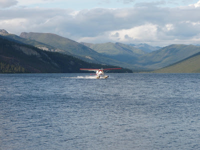
After a hours flight we were soon over Bettles, back in civilization of a sort. Bettles is a pretty small town which appears to mainly serve as a hub into the back country. Its road accessible in the winter when the ice road is in, but in the summer the only way in and out is by boat or by plane.

After a night in Bettles we flew into Fairbanks via Warballows in a Cessna 2008 – quite a contrast with the flight into Bettles. The plane was at least 45 years newer and was packed with two archeologists from the National Park Service and a father son group who had floated one of the forks of the Koyokuk. After a hour or so we where back into town and back home!

This trip was truly fantastic and highly recommended!

Gates of the Arctic, Day 6 – the Tinayguk

Tuesday, August 11th, 2009

Day 6 started and ended on the Tinayguk. We floated from camp, starting with a wonderful little rock garden, and floated for a couple of hours, then stopped for lunch to consume our snack rations. Or more correctly, I consumed my snack rations while others had lunch.

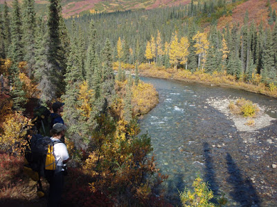
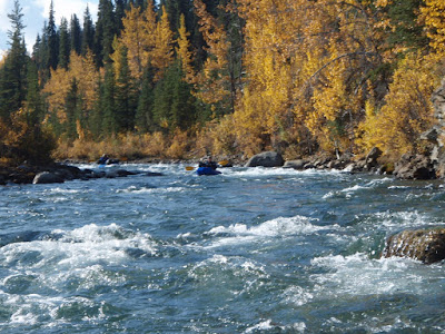
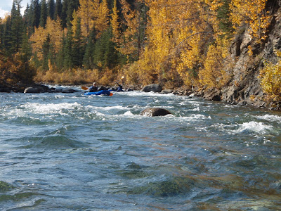
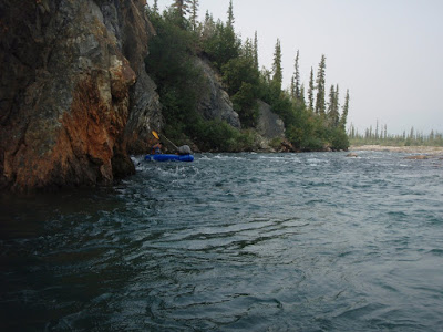
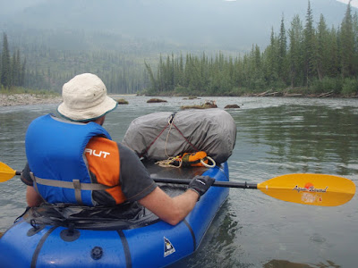
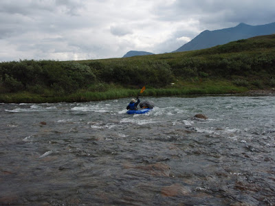
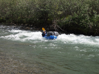
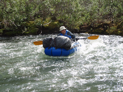
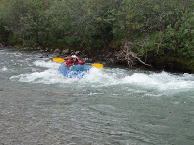
The Tinayguk was quite fun, going from riffle pool to little rock gardens and a fairly mellow canyon section.

We decided to have some practice with the throw bags while stopped for lunch and had some fun with practice tosses.

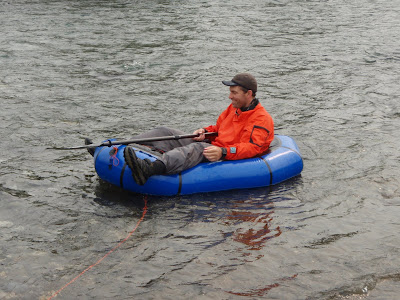
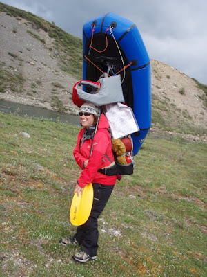
I had some fun with Marsh’s boat and discovered it is much too small for me. Its hard to imagine, but if I understand it correctly the first packrafts Alpacka make were this size and folks i know who are taller than me still use them for trips.

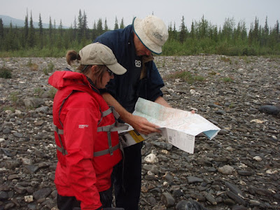
The lunch break also involved figuring out where we would emerge from the Tinayguk to begin the walk to Wild Lake, our pickup point.

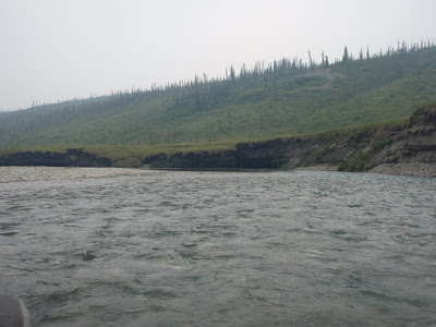
Once we were back on the river we were treated to a very unusual sight – the river was undercutting a hill with permafrost, cutting completely under the bank into a permafrost supported cave. We went around in a side channel. The smoke was starting to move in again, taking the views away. The smoke at times smelt like a very wet campfire, which left us wondering how close the wildfires were. Much later we were to find the closest wildfires were quite far away, on the other side of the Dalton Highway.

After the permafrost cave, we encountered a number of “tussock gardens” were huge clumps of turf and soil had fallen into the river and ran aground. It was a strange sight.

Shortly after the tussock garden we reached our take out point and made camp. The Tinayguk is very recommended!

Gates of the Arctic, Day 4 and 5

Monday, August 10th, 2009

Day 4

On day 4 of our trip we switched from hiking along Publituk Creek to hiking the ridge above it. The canyons where getting tighter and we feared we would soon be “cliffed out” leaving us unable to proceed. So, we switched to walking along the side hills above the creek. This gave us better views but harder walking with brush and tussocks.

Smoke from the wildfires in interior Alaska started blowing in about midday, and the views disappeared.

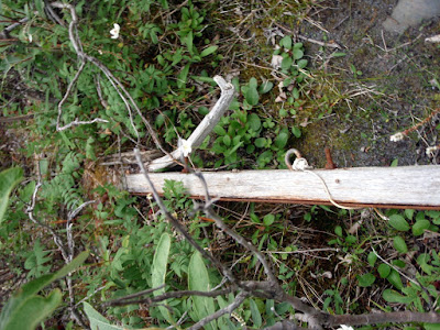
After 4 miles or so the creek flattened out and left the cliffs behind, so we dropped back down. When we meet back up with the creek we found part of a old dog sled sticking up from a washed out section of the river bank. It was very difficult imagining what travel would have been like in this area in the winter – the creek we had been walking looked like it would be prone to overflow and I expect it would be difficult traveling. It would be been a very unfortunate place to have a sled fall apart on you.

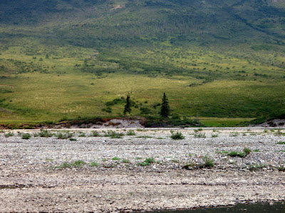
We continued hiking up the drainage and made great process on the wonderful game trails paralleling the creek. We passed a number of old and not so old hunting camps, probably for late season caribou hunting. We were now well above tree line, with only the occasional poplar tree grove and low brush. Just before we made camp for the night we spotted a very blond brown bear with two cubs. The cubs were very bouncy, jumping around and playing. They stayed a comfortable distance away, much to our happiness. The end of the day was rainy, foggy and generally wet.

Day 5

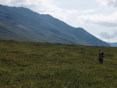
Day 5 started of quite well, and only got better. We awoke to a clear sky and while the sun was blocked by a set of peaks it looked like we had some good weather ahead of us. The hiking was quite easy as we where now well above tree line and the bush was getting progressively shorter as we moved up the drainage. After a couple of miles we left the Publituk drainage and started up a ridge on our way over to the Tinayguk. The ridges in this area are completely free of brush, with only a thin layer of moss, which makes for fantastic hiking.

We had quite a bit of elevation to gain in the morning so there was lots of uphill hiking.

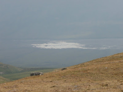
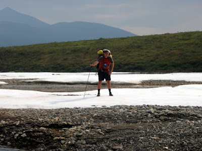
After lunch we where finally at a point where we could look into the Tinayguk. We aimed to hit the Tinayguk river near a section that is covered by overflow ice. We where told that the area covered by the ice was quite large, but where not expecting it to be that large – there appeared to be a quarter mile of ice still remaining, and the gravelly area without vegetation appeared to be several miles long. In the winter this area must be a real mush fest of overflow. In was very fast walking once we made it to the riverbed.

The area around the overflow ice was completely vegetation free. It was also completely mosquito free, as was our entire time on the Tinayguk.

The river appears to completely disappear under the overflow ice and when it reappears it is too braided with many shallow channels, so we walked the river bed until they formed into something that might be floatable.

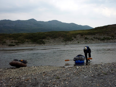
Once the channels joined up we inflated the rafts and got floating!
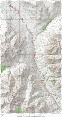
The Tinayguk is a really fun river – its fairly mellow with a number of smaller rock gardens that are not all that difficult. Its just exciting enough to prevent boredom but not so much as to be stressful. Folks floating the Tinayguk in anything but a packraft might was to reconsider – there are lots and lots of shallow riffles with lots of basketball to baseball size rocks, so avoiding running aground and getting stuck requires a fair bit of work. I am not sure how well a folding canoe or kayak would take all the scraping.

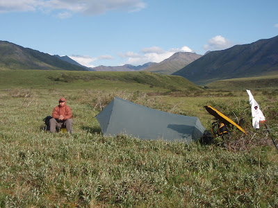
After a hour or so of floating we made camp in a wonderful poplar grove.

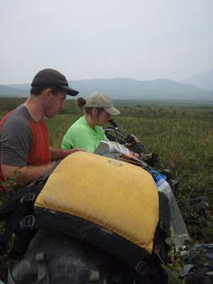
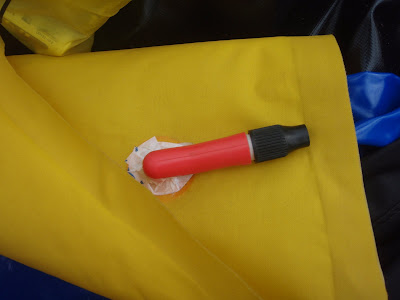
We spent the evening exploring and doing camp chores. Tom decided that it was time to fix his seat which never seemed to hold air for very long, which on inspection had a valve installed incorrectly from the factory. Marsh and Tom attempted to fix it with aquaseal and tyvek tape, but alas this was not effective. After looking at the rest of the valves on Tom’s boat, at least one other valve was only partially glued on.

Our camp fronted a large pool, which had a school of burbot. Marsh spent a fair bit of time reminiscing about how burbot tastes just like lobster. One of my regrets about this trip was the decision not to take a fishing pole – in addition to the aforementioned burbot, I saw lots and lots of grayling and later on in the trip pike. The fishing looked to be spectacular.

Gates of the Arctic, Days 2 and 3

Thursday, August 6th, 2009

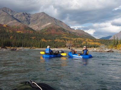
After a rainy night we woke up to a wonderfully sunny day, and continued our float down the John River. At this point the John had a number of interesting rapids, including some fun rock gardens and some more exciting bits including a wall shot and a short Class III bit.

We portaged the class III bit, though I got to get play in the rocks a bit in a unladen packraft, which was quite fun. Alas, the exciting sections where a little too exciting to take the camera out, so no photos.

After the short Class III section there was a longer section of class II, which was very fun – lots of standing waves and a fair number of rocks to dodge. Wet and exciting!

The class II section ends at Till Creek, which was where we decided to camp for the night. Till Creek is a smallish stream with a milky hue that appeared to be glacial fed. The bugs where moderately ferocious.

~15 miles traveled.

The next morning was quite marvelous – nice and sunny. We packed up camp and portaged around the next section which included a “wall shot”, or a hard turn into a rock face. None of us had done anything like that before, and decided to skip it. The walking was quite nice with wonderful views and was surprisingly tussock free.

Once past the cliff faces we then put back in and floated the John until our takeout point at Publituk Creek. This section of the John was fun but not too fun – the occasional standing wave but nothing too scary.

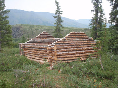
Publituk Creek is a clear, rain fed creek that winds up in the high country though a series of gorges. This area is one of the traditional caribou hunting grounds for the locals, so I expected to see some sign of past visitors. I was quite surprised when we ran into a newly minted cabin. Its hard to tell from the photo, but the walls are only about 2 to 3 ft tall – it seemed like a lot of work for a cabin that would barely have enough headroom for my 3 years olds. I spent a long time wondering what they planned to do with it.

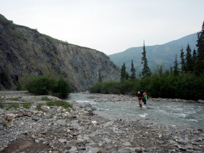
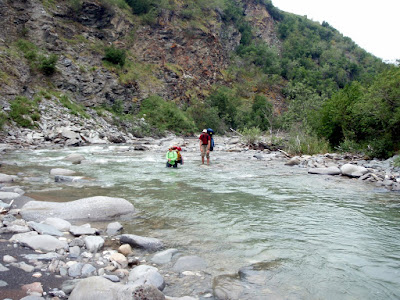
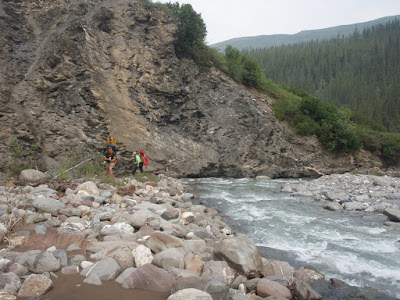
Once past the cabin of the gnomes, we dropped into the creek bed and begin bouncing back and forth across the creek. For the next several miles we followed the creek, crossing back and forth to avoid shear canyon faces and thick brush.

The crossings ranged from a ankle deep to nearly waist deep. Tom was the master of the tevas – he spent the entire day hiking of almost constant water crossings in sandals carrying the heavy pack of doom.

The back and forth avoiding the cliffs river hopping continued for the rest of the day.

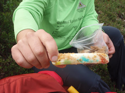
At a snack break Marsh discovered that her M&Ms;, granola bars, and cheese sticks had become one. It looked quite delicious, but Tom and I passed.

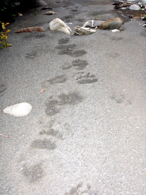
The creek bed was a veritable sumerhighway for animals. We saw tracks from bears, wolves, lynx, caribou, moose, and assorted smaller tracks we could not identify.

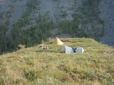
Our campsite for night 3 was spectacular and offered great views of the creek for evening and morning animal watching. Alas, nothing was to be seen, but such is life.

~9 miles.

Gates of the Arctic, Day 1

Wednesday, August 5th, 2009

And we are off!

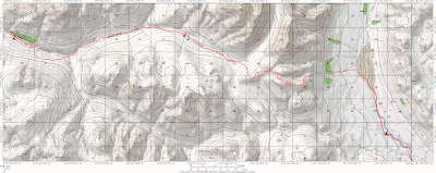
After a couple of days of mad packing (for some that was a night of mad packing), Tom, Marsh, and I are finally off on our week long trip in the Gates of the Arctic National Park. We planned on flying to Anaktuvuk, floating down the John River, then crossing over to the Tinyaguk river, and then hiking out to Wild Lake to be picked up by float plane.

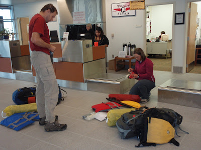
Our adventure began in my driveway, where we where driven to the airport by my co-worker Kevin. At the airport we checked in with Frontier were we learned the bad news about how heavy our packs were. Tom was very happy to learn he won the special prize of the heaviest pack.

Shortly we where in the air, flying north to Anaktuvuk.

In about a hour we landed in a windy and overcast Anaktuvuk. Anaktuvuk is a beautiful place and is surrounded by mountains on all sides.

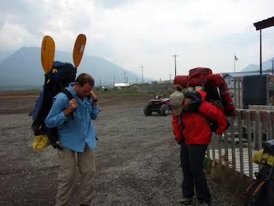
After a bit of searching around town for white gas for our camping stove and checking with the local ranger about river conditions, we headed out of town. We walked out of town on a road humorously labeled the “Hickel Highway” after Wally Hickel’s pre-pipeline bulldozer road. Anaktuvuk is a very refreshing small town – everyone we meet was very friendly and welcoming. Rural Alaska towns are normally fairly reserved places, especially when the visitors are clearly just passing though – the backpacks are a dead give away. On they way out of town we were actually cheered on by a young couple in a ARGO with a cry of “Go Hikers” as we walked by.

After a shortish walk the highly braided channels of the John river came together and became floatable.


It looked a bit shallow, but definitely packraftable, so we inflated and put in.

Shortly after we put in the first of several brief rain storms hit us. This section of the John river is very beautiful, in a wonderful alpine setting well above tree line.

After several hour of floating we called it a day, and made camp just past Kollutuk Creek. Marsh cooked a fine repast which was enjoyed by all.

~10 miles travelled. Most of the float was very mellow class I, with a brief rock garden right before where we camped.

Fun with Packrafts on Angel Rocks and the Middle Fork

Thursday, July 16th, 2009

On a beautiful monday Marsh and I decided to hike the Angel Rocks to Chena Hotsprings Trail in the Chena Recreation Area and about midway along the trail drop down to the middle fork of the Chena River and float back to Chena Hotsprings Road, then bike back to the trail head. I anticipated it taking 3 hours of walking, and 2 hours of floating. It turns out I was right about the floating section, but off by more than a hour on the hiking end. Such is life – I am getting a reputation for being way off on the time estimates.

The hike up Angel Rocks is always very scenic, with wonderful granite tors and outcrops. Luckly for us the blueberries were out and a few were even ripe. Yum, yum!

Once we reached the highpoint of the trail, we dropped down to another ridge we intended to follow to the Middle fork. Much to our surprise there was a established winter trail following the ridge all the way down to the river.

The trail is marked with cut up Alaska DOT roadsigns, which is quite unusual – in fact I have never see that done before, and its definitely not standard Alaska state parks signage.

The trail is in beautiful shape and is completely clear of brush with not a drop of mud or tussocks to be seen. It is very nice hiking! The trail is quite strange though, as it appears to get only winter traffic. Besides the redneck signage the array of lost items on the trail was quite amazing. We found several piles of traps dropped in the middle of the trail, two coolers, one shovels, a blue glove, and several dinner plates.

Alas, the trail did not head all the way to the river, but parallels it for a ways, so we took a more direct route though the tussocky swamp. The wet and squishy walking had begun.

Fortunately we only had to pound though a very limited section of tussocks before hitting the river. The river was very underwhelming. I had to look at it very carefully to detect any current at all – it was not what I anticipated and if it was like this the whole way we where in for a major slow paddling slog. We inflated our boats, put in and where off. After a couple of hundred feet, and one ox bow later we where much happier. It turns out where we in a slough of the main river which was dammed up by beavers.

There was much rejoicing when we hit the main channel, as the middle fork had lots of water in it and it looked like we had a nice fun float ahead of use. There was also a eagle, which turned out to be the sole non-beaver animal sighting.

The rest of the float was quite mellow, with a couple of shallow spots and a number of sweepers but nothing tremendously exciting.

The fireweed was in full bloom and made for some beautiful vistas.


When we hit the confluence of the main chena and the middle fork a beautiful cloud of fog was drifting out of a slough. It was very neat looking and a big improvement clouds of mosquitoes and white socks we where running into earlier.

Finally we hit our take out point, where Marsh snapped a photo of me jumping around like a mad man.

All in all a wonderful packrafting day trip. The hiking distance is 8 to 9 miles, with one mile off trail, and the float is under 2 hours in the moderately dry conditions we did it in. Higher water would make for a faster and more interesting float. Very recommended!