Posts Tagged ‘packrafting’

And I Forgot My Spoon

Tuesday, June 30th, 2009

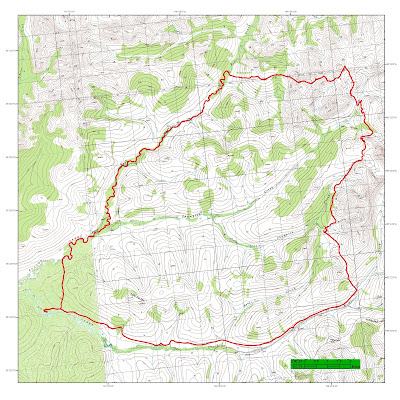
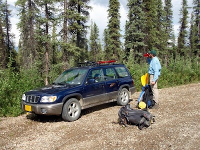
Tom and I decided that we would attempt to hike, bike, and packraft a loop in the White Mountains National Recreation Area, hopefully hiking into the headwaters of Beaver Creek and floating out. We started at Ophir Creek Campground, got on bikes, and biked east to the start of Quartz Creek Trail. Quartz Creek trail is a 17 mile trail that heads to the headwaters of Beaver Creek. This is new territory for Tom and I – I have done brief hikes in the area and had skied some of the area in the winter, but nothing of any length in the summer.

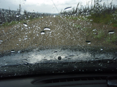
Things did not start off particularly well. 20 minutes or so before we made it to our starting point, the sky opened up and dump a torrential downpour on us. This was not a auspicious start, but fortunately the rain stopped soon after we arrived at Ophir Creek Campground.

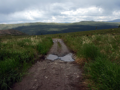
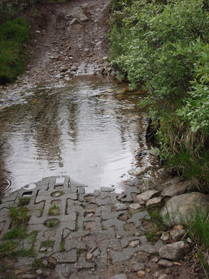
We left the car, got on the bikes, and headed off to Quartz Creek Trail. The trail is mainly a ORV trail had undergone major upgrades in the last couple of years, including some fancy plastic base material, and inset concrete stream crossings.

It was quite impressive how much work BLM had put into making this trail passable for the four wheeling crowd. On the upside, it was not muddy at all which is quite a rarity in these parts and was very fast walking.

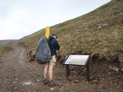
After stream with the fancy brickwork, we ran into our first party of motorized users. We talked to them for a bit and were very surprised to hear that there was only enough water in Quartz Creek to “dip a pan in”. This did not bode well for our float. Near one of the high points there is an interpretive plaque – which was impressively random, as we had not encountered any signs up to this point since leaving the parking lot. The main point of the sign appeared to be not to chase the sheep with your four wheeler.

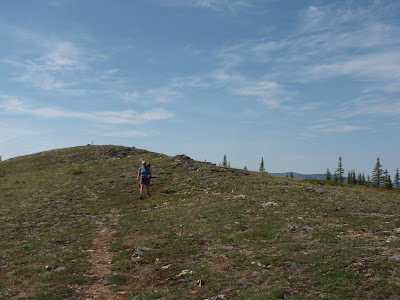
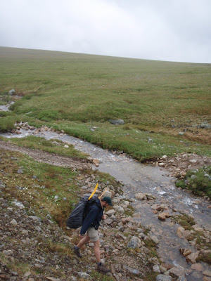
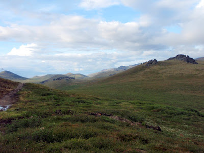
The trail winds it way over several passes, through alpine meadows, and crosses several streams.

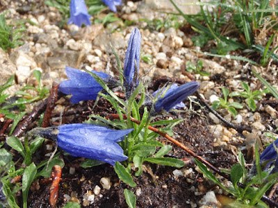
The flowers were out in full bloom in the high meadows.

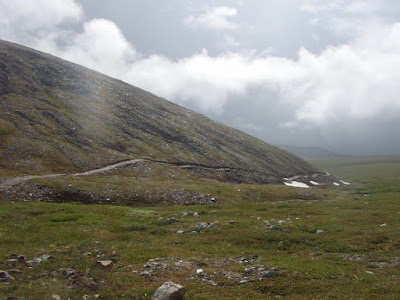
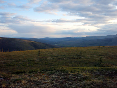
The trail is amazingly scenic. This is probably one of the nicest trails I have hiked on in the interior.

As we crossed the final bit of Little Champion Creek, the rain caught up with us.

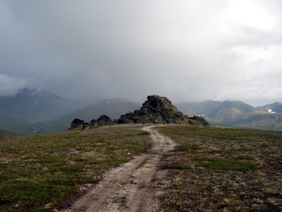
Fortunately the rain did not last long, and we were soon dry and approaching one of the highlights of the the hike – the beautiful tors. Near the end of the trail there are a large number of very large granite tors, some of which are right next to the trail. It is incredibly scenic.

We stopped at the final tor and had dinner. Dinner was complicated by the absence of my spoon – it appears that during my packing I somehow forgot to put my spoon into my pack. I ended up eating with a folded bit of plastic bag, which was less than ideal. For folks interested in shorter days, this would be a wonderful place to camp.

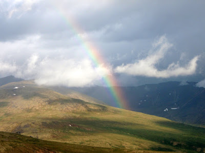
This was the end of the trail for us – we now had to head down to Bear Creek to start the float. As we worked our way around a large hill a beautiful rainbow came out.

Once around the hill, we were very happy to see a full looking Bear Creek in the distance.

After several miles of intense bushwacking (around 5 I believe) we made it to Bear Creek, which was quite floatable, which lead to much happiness. I had been dreading a long walk back out and had visions of a creek with only a couple of inches of water in it. Fortunately the floating looked quite fun, and into our boats we went.

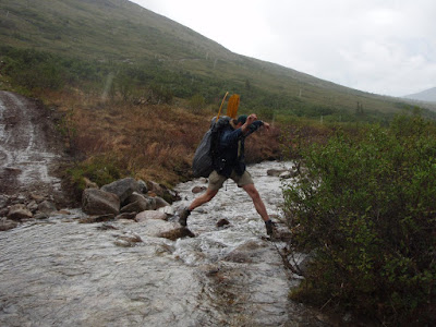
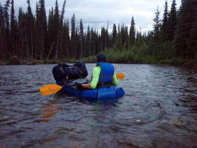
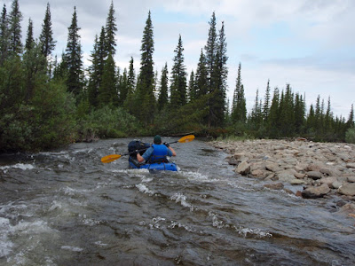
Bear Creek was quite a fun float – the upper bits where we started are a bit rocky, which made for exciting rafting.

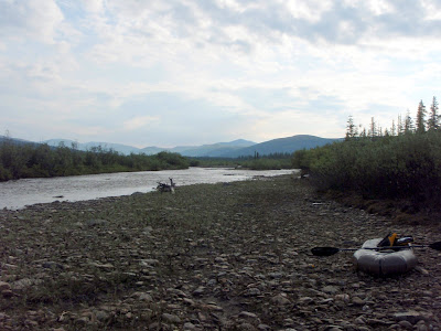
At about 1:30am we decided we should call it quits for the day and camped on a gravel bar. At this point the trip was verging on a death march, Bataan style, so calling a day was in order.

The gravel bar did not have any bear sign, but did have a large number of quite fresh wolf tracks.

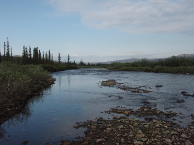
After a couple of hours of sleep we resumed the float, and bobbed down the river.

Bear Creek was largely free of sweepers and log jams, and we only had to portage once.

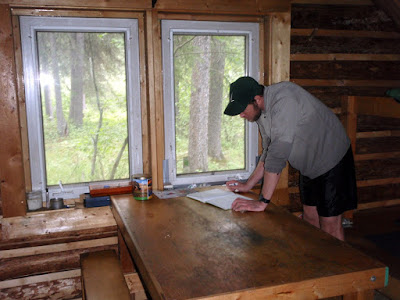
After 3 hours or so, we made it to Richards Cabin, a BLM cabin that can be rented. The cabin is a former inholding or mining clam and is very nice. We stopped for a bite to eat and to leave an entry in the log book. It is amazing how different this area is in the summer. Tom and I had skied into this cabin 4 months earlier in a snow storm – now we were walking up to it in a muddy trench being hounded by mosquitoes. The contrast was stunning.

Shortly after Richards we ran into a huge log jam, which we had to portage around. We took a dry ox bow thinking it was a short cut, which ended up in Champion Creek right before it hit Bear Creek becoming Beaver Creek. At the confluence the water level rose a lot, which added to the fun considerably. Bear Creek had a fair number of shallow riffles that were only just float able in a packraft and required a lot of care to not get stuck on.

Eventually we made it to our take out point, put our packs on, and slogged though 3 miles of tussocks back to Ophir Creek camp ground. The tussock slog was remarkably unpleasant.

After 1 and a 15 minutes of tussock slogging we hit the road, and a short while later the car. In the car there were Staxs, juice, and pastries, hurray!
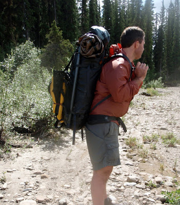
The trip was quite an adventure. In retrospect it would have been more fun if we had camped where we first hit Bear Creek, then floated in the morning making the first day a little shorting and giving us more sleep. It was still quite fun though, and a highly recommend float for anyone who is interested. Richard’s cabin appears to be quite bug proof, and would make a excellent overnight stop, in case any future travellers read this. Hikers not up for 20 mile days could camp at one of the Tors and enjoy great views.

Fun on the South Fork of the Chena

Monday, June 1st, 2009

Tom and I hiked into Nugget Creek cabin in the Chena River State Recreation for a very fun pack rafting and hiking day trip. The South Fork of the Chena River is a fairly shallow and slow stream that winds its way though an almost complete cross section of the forest types available in the Interior.

We started at Mile 36.4 mile of Chena Hotsprings Road, and followed the Mist Creek trail for about 1/4 of a mile, before having to cross the Chena River. After attempting to simply ford across, we inflated our rafts and floated across, then packed them back up and continued up the trail.

Mist Creek Trail can be quite hard to follow at times.

For those of you who are burl obsessed, there where many, many burls along the way.

After about 6 miles we ended up at Nugget Creek cabin. The cabin is mainly visited in the winter and according to the log book, we where the first visitors since the melt.

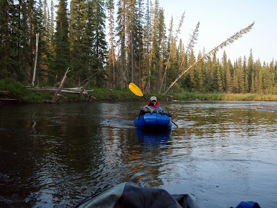
After a quick bite to eat we inflated our rafts and headed out. The cabin is very nice in the winter, but is a mosquito trap in the summer, and while reading the log book we soon had more bugs inside than out.

And we are off!

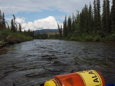
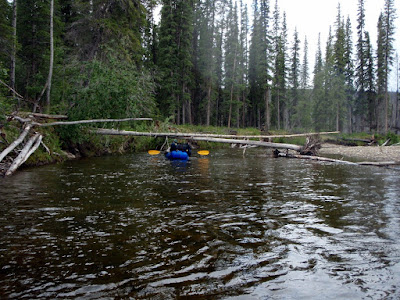
The float was quite fun, and lasted about 6 hours. The only downsides to the float was the large number of sweepers that crossed the river completely and the short sections of shallow water. On the upside these appear to keep normal river traffic completely out.

One of the highlights of the float was the beautiful cliffs that abut the river.

Other river sights included some silty river banks, some of which where quite huge.

In the last couple of miles before hitting the main part of the Chena River the water slowed down a lot and things started to get pretty boring.

Once we hit the Chena, things sped back up, and we made it to our takeout in short order. Tom headed off on his bike to pickup the car and I packed up the rafts.

All in all, quite a marvelous trip! Very recommended as a nice mellow pack raft trip, though possibly better as a overnight as its a bit long as a day trip with 3 hours hiking and 6 hours of floating. One would hate to get out so late that one missed Mia’s!

Fun on Beaver Creek

Tuesday, May 26th, 2009

As new owners of Alpacka pack rafts, Marsh, Tom and I decided to do our first “real” pack rafting trip. Our plan was to float down Beaver Creek and walk out the Summit Trail in the White Mountains National Recreation Area. While I spend a lot of time in this area in the winter, this will have been the first time I had visited this area in the summer, and I was really looking forward to exploring it without snow. I have had done the summit trail several times before, but had never gone all the way out to Beaver Creek.

We started the trip at the Ophir Creek Campground on Nome Creek with a large group – my wife and the twins plus two additional family. We overnighted at the campground, which was surprising pleasant and uncrowded for Memorial Day weekend. The evening’s heavy thunderstorm and rain shower was not very auspicious.

The next morning was super nice though, and so I said good by to Nancy and the twins and we headed down Nome Creek. Nome Creek was a very pleasant float – it was quite mellow, with hardly any interesting water action at all. We had to avoid several sweepers in the 6 miles until we hit Beaver Creek, but otherwise this section was pleasantly uneventful.

There where lots of spectacular views from Nome Creek, including some wonderful views of Sled Dog Rocks, a rock formation that looks like a dog sled and dog team.

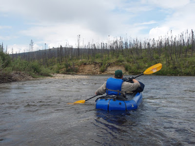
After hitting Beaver Creek, we then floated approximately 26 miles before we hit our take out point. Beaver Creek is a very mellow class I float, with a small number of sweepers, the rare rock to be avoided, and a view sections with interesting eddy currents – otherwise it could probably be done while sleeping. Ok, perhaps I am exaggerating, but it is a very mellow float.

Once we hit our take out point, we stopped and took a look at Borealis-LeFevre Cabin. It was amazing how different this area is in the summer. The cabin was barely visible from the river, yet in the winter the cabin can be seen quite clearly. We saw from the log book Ed Plumb had stopped here 2 days prior on a grand adventure – we where instantly envious.

After getting a bite to eat we crossed the river and headed up Wickersham Creek trail on our way to the Summit Trail. After a mile or so we would have to cross Wickersham Creek, and since we where uncertain how large it would be, we carried the rafts to the creek in case it required floating. In the winter the creek looks fairly large and can have quite a bit of overflow on it. The creek turned out to be easy fordable by the taller members of our group, and the remaining member quickly floated across.

We then headed up the the Wickersham Creek Trail until it hit the Summit Trail. This was the most unpleasant walking of the trip – the trail is mainly a winter trail but had been used by ORVs in the past. It was quite muddy and a true tussock fest.

Once we hit the Summit Trial we walked for a couple of miles and then called it a day. We camped in a old burn which was spectacularly beautiful. I got to use my new tent for the first time and it was quite a success.

The next day we headed out and had a wonderful day of hiking. The weather was great with nice clear views and pleasant walking.

This a highly recommended easy pack rafting trip – its very accessible, a fun float, and a great hike out.