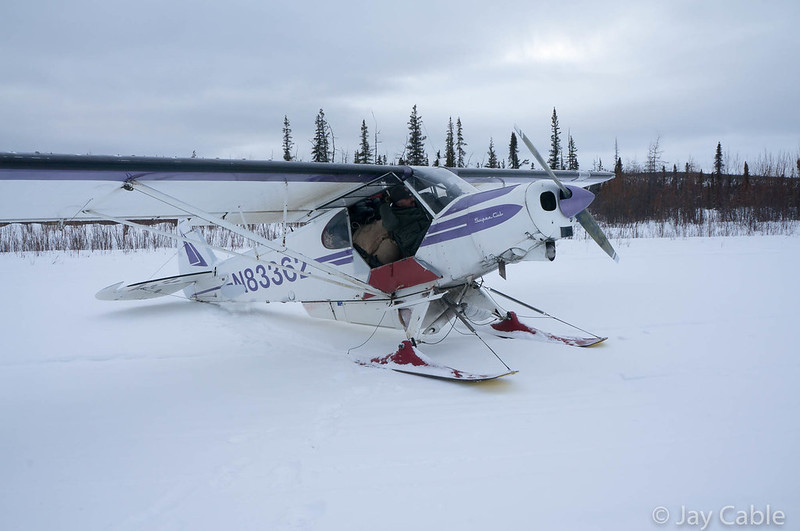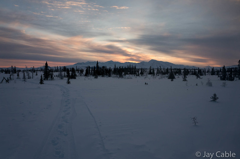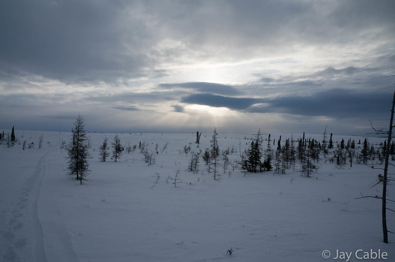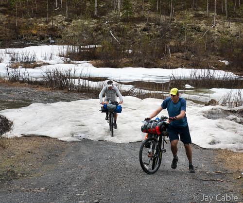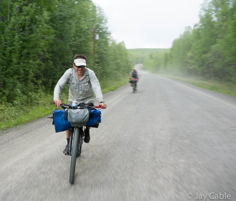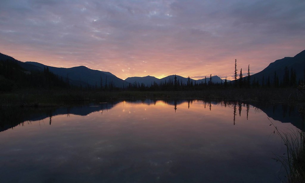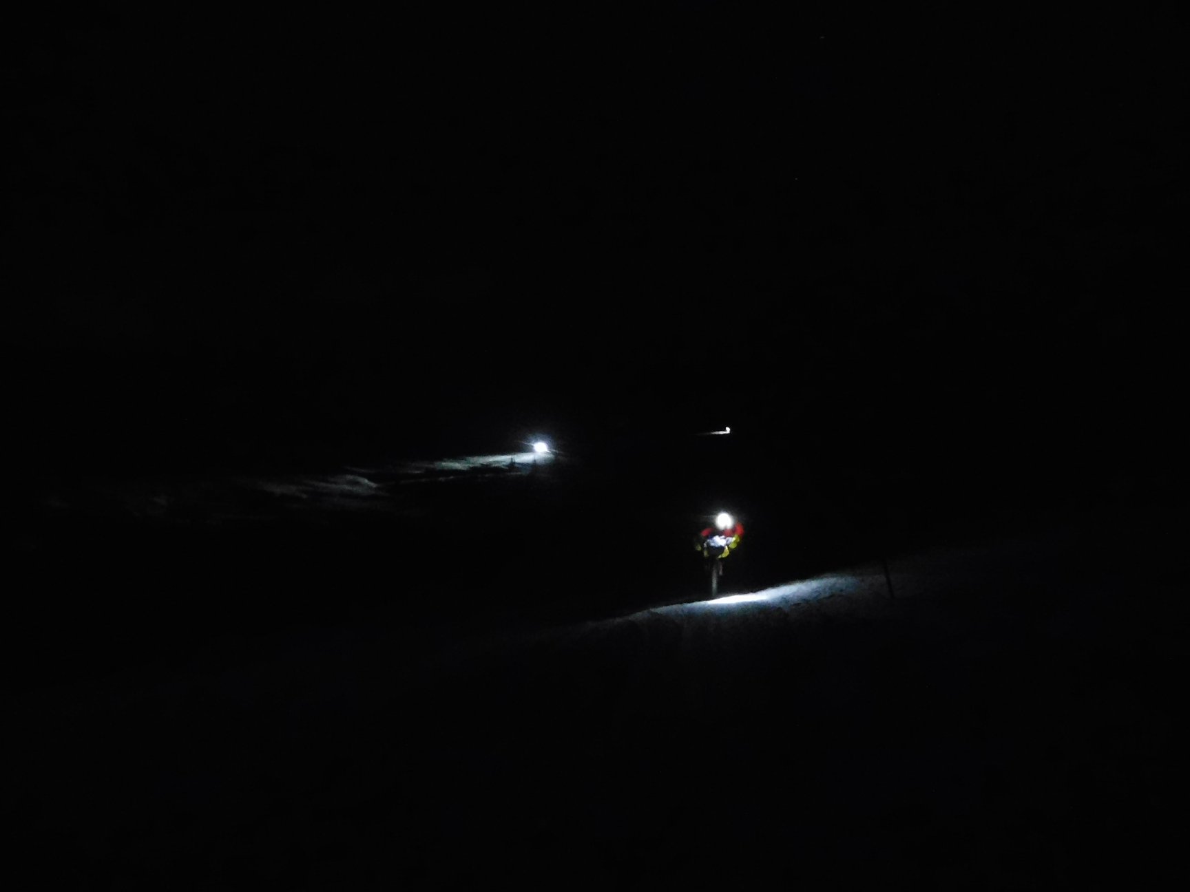
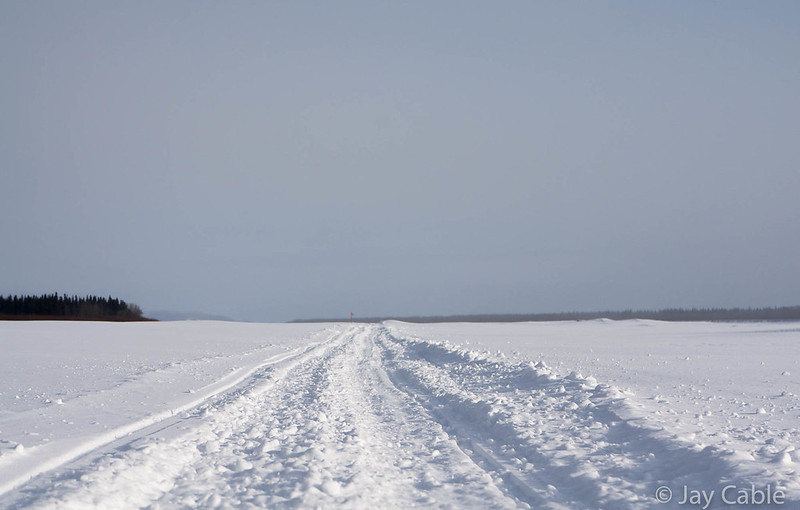
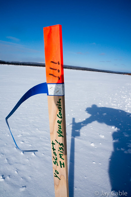
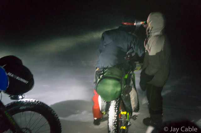
Phil H. was stopped in the middle of the trail. We were two miles past the Topkok shelter cabin, in the notorious “blowhole”, a windy section of trail near the coast, 30 miles or so outside of Nome. It was several hours before sunrise, and a bit windy, with blowing snow across the trail. As I rode up to him, he asked me “Where is the musher?” We had been passed a while back by a musher who was having trouble finding the trail, and I was confused about who Phil was talking about.
Phil then pointed to a dog sled, sitting on the side of the trail. Soon after I noticed it, I realized there was a whole team stretched out there in the snow, the dogs curled up in little balls to protect themselves from the wind.
But no musher.
Uh-oh.
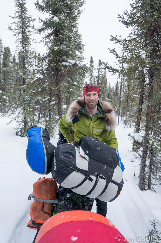
This is the third and final part of my write up on the 2018 Iditarod Trail Invitational (ITI). The first part can be found here.
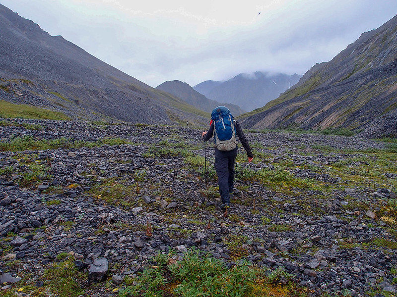
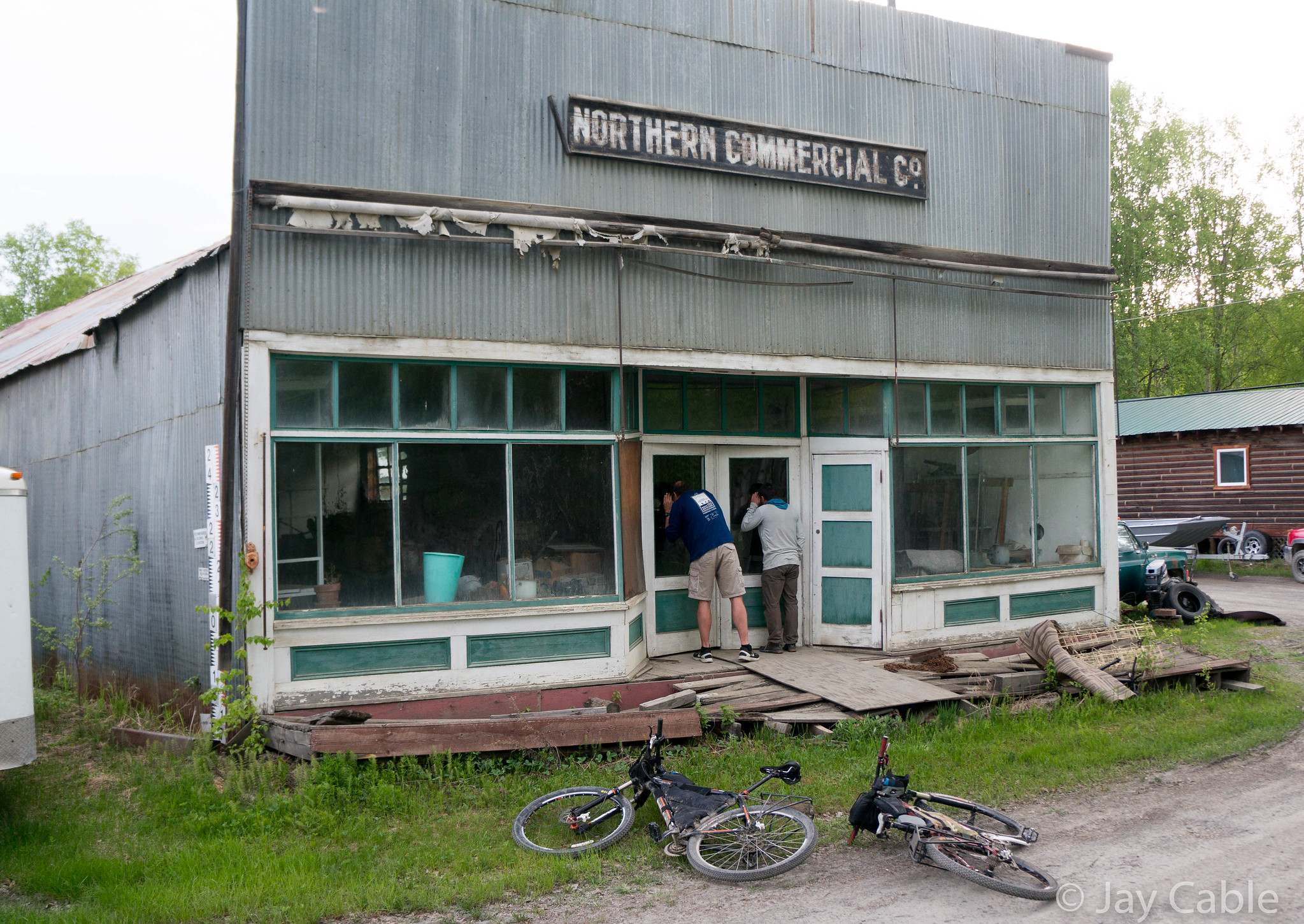
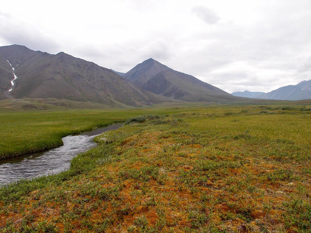
Kevin and I arrived at Shageluk at 10 am, and after we’d wandered around town a bit, someone directed us to the Lee’s house, where we had sent drop bags and might be spending the night. We arrived in town happy to be back in civilization, and the first thing I did was use a flush toilet — hurrah! Shageluk is a small town of around 100 people situated with a range of hills on one side and vast open lowland on the other side. Our plan was to resupply then head on to Anvik, but alas, a light dusting of snow made the trail nearly impossible to find in the flats outside Shageluk.
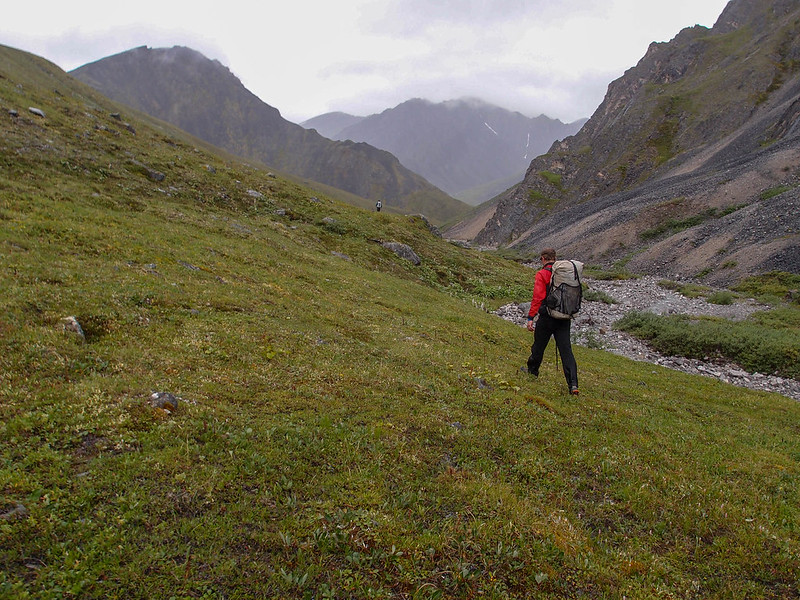
The trail leaves Shageluk, follows the Innoko river briefly, then heads out across a series of open swamps before dropping back onto the Innoko, before crossing a few more wide open swamps, then though some mixed swamps and forest before crossing the Yukon and heading into Anvik.
Alas, the dusting of snow and the very flat light made the swamps really hard to navigate, especially since we didn’t know where we were going.
I had a tracklog from 2013, but that was 5 years ago. I had no idea of the trail had changed or not. Three times we left Shageluk only to be turned back in the swamps. On the upside, we were well rested and enjoyed some of Lee’s great cooking, and were able to do our laundry and take showers. Eventually a party that was supposed to be heading to Anvik passed though, and we followed their tracks out of town, only to have them take a wrong turn and head to Grayling instead.
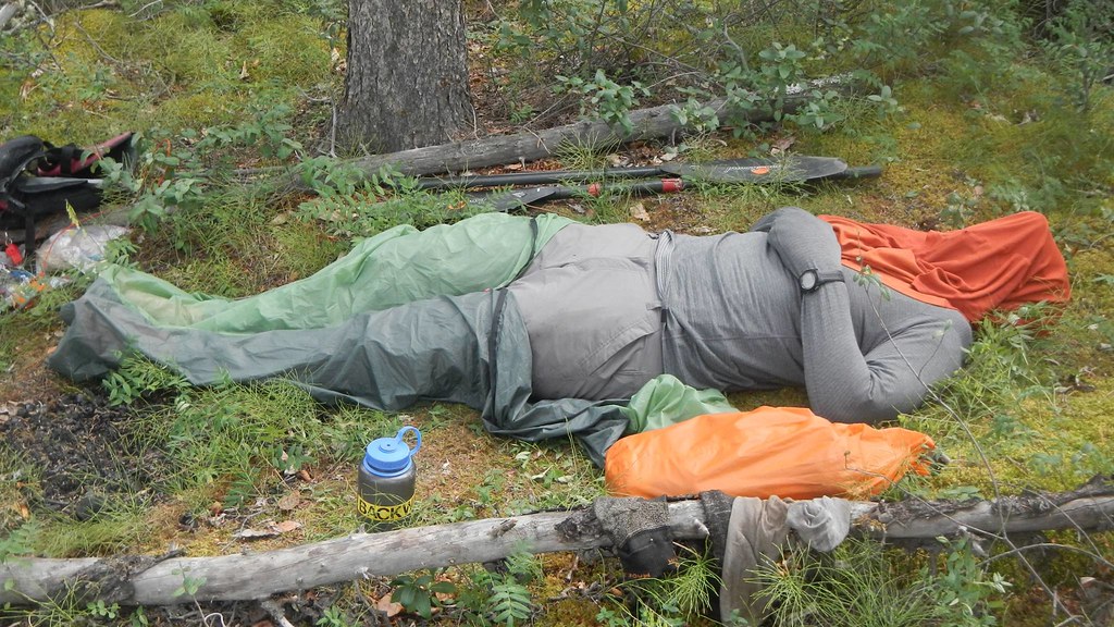
We pressed on, and got a bit stuck near the halfway point, where we just hunkered down for the Iditarod Trail Breakers. We had been told they would be by that evening, but we bivied in a nice grove of trees for 18 hours, and there was still no sign of them. The bivy was cozy, but slightly wet. We had picked up blue tarps at the store in Shageluk, and were very happy to have them, as it was near freezing and lightly snowing — almost raining. When I got hungry I was too lazy to find real food, and just grabbed whatever was in the top of my bike bag, which turned out to be a one pound block of cheddar, which I nibbled on for a few hours, slowly eating the entire thing. It was delicious, but hours later I woke up with “cheese sweats” – all those calories were making their way through my system. At one point I woke up Kevin by loudly complaining I was bored – which I truly was. After 12 hours it became pretty clear that even I could get sick of sleeping. Eventually we gave up and pressed on, making it a few more miles before the trail breakers passed us.
Kevin and I were very happy to see them – finally a trail! The lead trail breaker stopped and chatted with us a bit. He remembered Kevin from last year when he stayed with them in Kaltag, and seemed honestly pretty excited to have us out there. Not as excited as we were, though. Finally we would have a trail again!
The rest of the ride into Anvik was much faster and pretty fun, though the trail on the Yukon was very punchy.
Just outside Anvik a snowmachiner came up and introduced himself — it was Jay from Anvik!
Jay is apparently dating a coworker of my wife, Nancy: Malinda. Alaska at times is a very small place. Jay told us we would be welcome to warm up at the tribal hall, which was also going to be the Iditarod checkpoint, and pointed us to the two stores in town. One shopping trip later Kevin and I were busy munching away on heated-up frozen burritos, and in my case chugging down a half gallon of chocolate milk in the comfort of the tribal hall’s kitchen. Then it was off to ride on to Grayling.
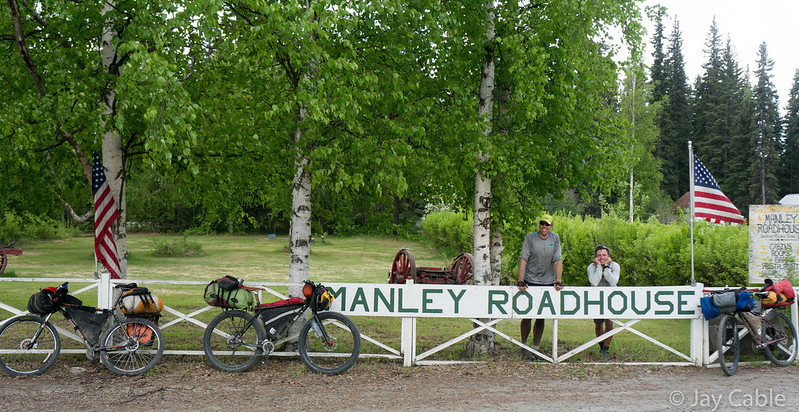
The ride into Grayling was flat and very fast. The trail was firmest we had seen in a while and looked like it got lots of traffic, and by the evening we were wandering around Grayling looking for Shirley’s. Shirley runs a beautiful bed and breakfast in Grayling. Kevin had called her from Anvik, and she had mentioned over the phone she was going to put on steak. When we finally found her house (Grayling turned out to be much larger than I expected; Kevin and I got the scenic tour), we found her cooking away, making huge steaks, homemade french fries, and carrot cake with carrots from her garden. It was truly awesome! Her home is a work of art, constructed of all kinds of random odds and ends, with musk ox pelts and a mammoth tusk taking center stage. One shower later I was tucked into bed, getting the best night’s sleep I’d had in a long while.
In the morning we were treated again to a wonderful breakfast, and packed up our bikes for the long, long trudge up the Yukon to Kaltag. Judging from the slow progress Phil was making, the trail was pretty bad, and we expected we might have to walk most of the way, so loaded up with extra food. As we were leaving, Shirley got a phone call from the Iditasport, wondering if Jan Kriska was there. We hadn’t seen him, but on the way out of town we stopped by the Iditarod checkpoint, and lo and behold his sled was there! We ducked inside, and found Jan dozing on the floor, but he popped up right when we came in and said hi. It was great to see Jan, and to see him in such good spirits. He had a really hard race last year, and it ended for him in Ruby with damaged hands. This year he was having a great race, and was making good time.
The trip up the Yukon was a mix of good riding and slow walking. I had been told the wind blows down the Yukon, but it seemed like it was mostly crosswinds that would blow in the trail. Whenever the wind wasn’t blowing across the trail it was generally very rideable. In a few sections it was even fast riding. The first night on the Yukon, Kevin and I bivied off the edge of the trail, and a few hours later I was woken up by the crunching and whirring of dog feet and runners on snow as the leaders passed us in the dark. In the morning we woke up to a nicer trail, and quicky rode to Eagle Island, the iditarod checkpoint.
Eagle Island had a reputation of being very unwelcoming to the ITI racers, but since the trail went up into the checkpoint, and there wasn’t a good way around we headed up into the checkpoint. Fortunately they were pretty friendly and offered us hot water and we chatted a bit, then it was back on the trail.
Alas, the Yukon dragged on, and on, with a bit of walking, and lots of slow riding.
A few fast sections gave me hope that the trail would firm up, only to be dashed by more soft and windy trail.
In a few of these faster sections Kevin rode really strongly, and I just about gave up on keeping up with him, but the trail turned soft again and my slightly bigger tires allowed me to keep up.
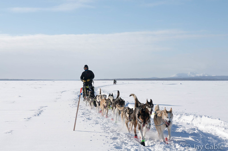
As we neared Kaltag, the main body of the mushing field caught up with us, and mushers were passing us regularly, as well as the occasionally snowmachine. We also started seeing our first signs of the riders ahead of us since just outside Ophir, with the occasional tire track showing up.
We arrived at Kaltag early in the morning, and headed to the school, where we unpacked our stuff, dried out, and chatted with other travelers. In the smaller communities along the Iditarod trail the schools let travels stay in them for a small fee, as there are no other options. The Kaltag school was packed – there was a big group traveling by snowmachine, and a film crew making a documentary on Lars Monsen , a Norwegen dog musher. When they introduced themselves I was confused, as there was another Norwegen musher, Joar Leifseth Ulsom, who was in the lead, and I didn’t know who Lars Monsen was. Apparently he is very famous in Norway, and one of the film crew tried to correct my ignorance, filling me in with the details of his life. It was a bit of a shock to go from just Kevin and I, to lots of chatty people, though they soon left us alone, and I ended up just talking with the two guides accompanying them. One of them operates a lodge on the Ivishak River in the Brooks Range, and we chatted a bit about summer adventures, which seemed a world away.
Eventually we packed up our bikes and headed out, hoping to make it to Unalakleet.
The trail from Kaltag to Unalakleet is beautiful, but it tends to be slow. We were hitting it late morning, and there was a lot of snowmachine and mushing traffic, making it soft and a bit of a slog.
Kevin and I yo-yoed back and forth, each going at our own pace as the trail conditions changed. We stopped for dinner at the first shelter cabin, Tripod flats, where we were joined by some locals on their way back from Unalakleet. We spent an hour or so talking, then headed on to Old Woman Cabin.
The trail was firming up at this point, and I was able to ride pretty fast, and was soon tailgating Hugh Neff. I was pretty hesitant to pass him, as I had passed him two years before when he was finishing the Yukon Quest and his dogs went from going six miles an hour to nearly eight, and I had to pedal like mad to stay ahead of them. I didn’t want to repeat that, and ended up just riding slower, and staying a couple hundred feet behind him. Eventually we both pulled into Old Woman Cabin, which was warm and welcoming. I apologised for tailgating him, and he waved it off and started feeding his dogs, while I headed into the cabin to make dinner. Then he joined Kevin and I , and we talked for a hour or so. That hour was one of the highlights of the race for me: listening to Hugh Neff tell stories had me pretty spellbound.
After the hour was up he headed out to press on to Unalakleet and we went to sleep for a few hours. In the early morning hours Kevin and I headed out, and I was ever so happy to find the trail had set up and was really fast. Kevin soon disappeared, riding like lightning, and I rode the 30 or so miles into town by myself, enjoying the near calm and misty night sky. The sun was coming up just as I arrived in town, and I was disappointed to find Peace On Earth closed — no pizza!! Fortunately Kevin had arrived a good twenty minutes earlier than I and spent that time wisely, tracking down the owner and he was going to fire up the oven and make us some pizza.
We ended up spending way too much time at Peace on Earth, eating and socializing, and soon were joined by Julian Schroder and a few other Fairbanks folks who were in town. I called Nancy and said hi, and then noticed that the ITI’s race tracker said Phil was still in town. Hmm.. I was a bit worried Phil had scratched, but was distracted by pizza and people. Eventually Kevin and I pried ourselves away from the food and company, and after restocking our bikes with food headed out of town.
Alas, the trail out of town that the Iditarod used was very punchy, and nearly unrideable. The trail leaving town heads across a bunch of small ponds, and these ponds had soft crunchy snow covering them, with a bit of salt water overflow to top it off. Kevin and I debated taking the road but ended up staying on the marked trail, which was a mistake, as it took forever to cross the ponds. When we finally hit the road that we should have taken, we found Phil waiting for us.
He’d had a pretty rough time on the Yukon, and by the time he had arrived in Unalakleet he was pretty wiped out. Jay P was just arriving at Nome at this point, and there was zero chance of catching him, so Phil decided to wait, rest up, and ride the rest of the way to Nome with Kevin and me. It was great to see him, and I was glad he hadn’t scratched. Our plan was to make it to Shaktoolik, and that seemed pretty reasonable until we reached the Blueberry Hills shelter cabin and called ahead only to find out it was blowing really hard, with dog teams getting turned around, and other chaos. Deciding it was better to wait and hope the wind died down, we crashed in the cabin, then headed out, as usual in the early a.m. hours to ride to Shaktoolik and hopefully Koyuk.
Shaktoolik is a small town on a little spit of land that juts out into Norton Bay and the wide open wetlands that surround it. The trail into town drops about a thousand feet down to the wetlands on the inland side of a narrow strip of land, and is normally icy and windy. I was a bit worried I was going to be in trouble, as I didn’t have studded tires, but while there were a few patches of ice, it was mostly snow covered, and pretty windy. It seemed like it took forever to get from the base of the hill to the town, but after lots of slow riding and walking we pulled into town, and headed to the school. The wind was howling, and much to my disappointment, it was blowing from Koyok. We were going to have a big headwind all the way to Koyuk..
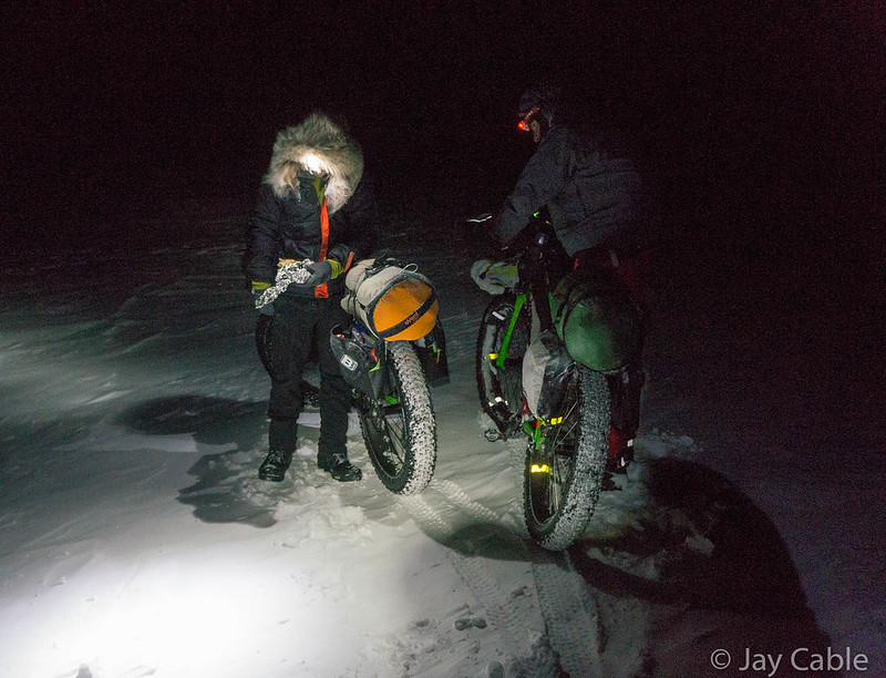
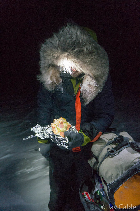
Shaktoolik is in “civilization” and I had 4g cell reception, and checking the weather report quickly confirmed that it was blowing pretty hard. The news reports had mushers getting lost going across the bay to Koyuk.. But on the upside, the forecast was that by midnight the wind was supposed to die down. A few mushers were taking an extra eight hour layover in Shaktoolik to avoid the wind, and after a quick discussion, we told the folks at the school we were going to stay there for the day, and made ourselves comfortable. There is a small village store right across the street from the school, so I headed over and picked up breakfast, lunch, and dinner: two boxes of pudding packs, some Ensure, cream cheese, a bag of bagels, two microwave burritos, and a two quarts of chocolate milk — heaven!
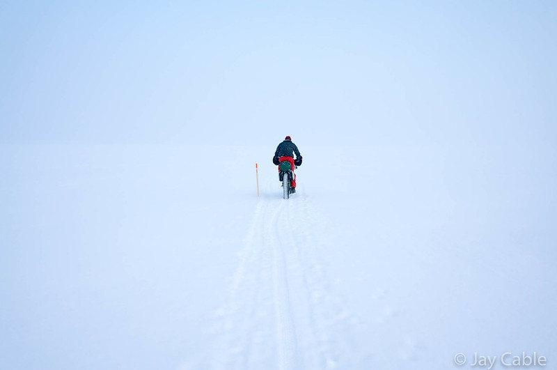
At midnight we headed across, and hurrah, the wind had died down, and we had a bit of a tailwind! The ride from Shaktoolik to Koyok is always a bit stressful, as the trail goes out across a shallow bay and lots of little swamps, with minimal cover.
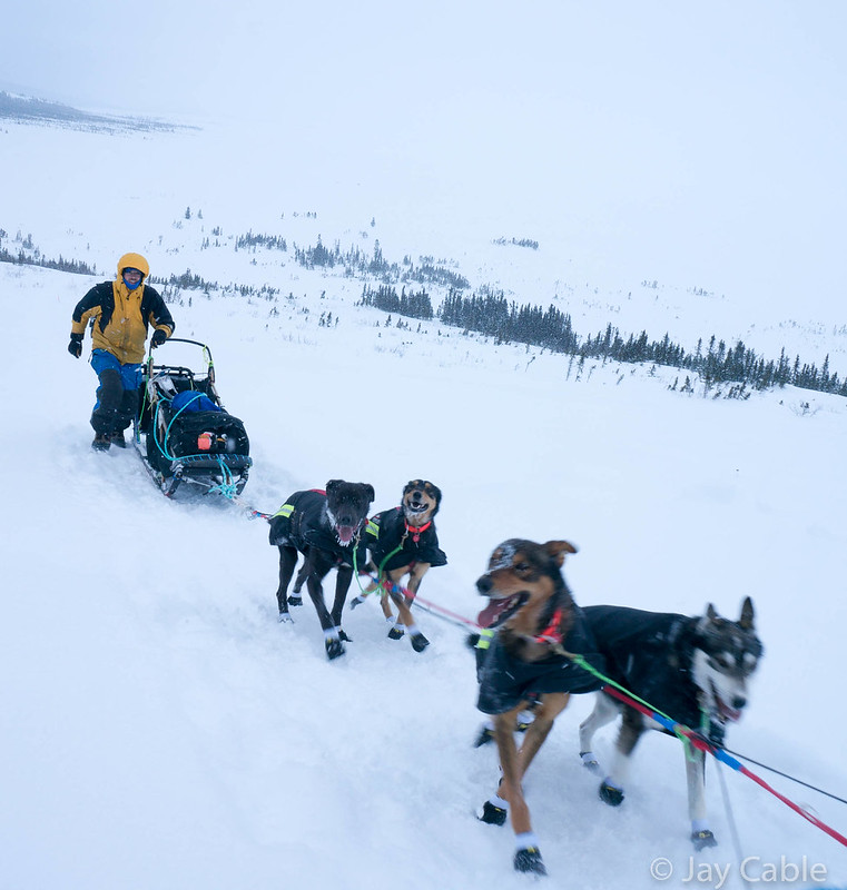
At night you can see Koyok from a long way before you arrive, as it is on a hillside, taunting you as it never seems to get much closer, Fortunately we arrived in daylight, but it still taunted us as we could see the town in all its glory hours before we arrived. Just outside of Koyuk, Andy Pohl, a biking acquaintance, and Kristy Berington passed with their dogs, mushing into Kokuk. At the start weeks ago (it seemed like a year ago), Andy had joked that we would meet up at Old Woman Cabin, and I had said I would be happy if it was at Eagle Island. Koyuk was inconceivable.
We arrived in the early morning, got a bit of sleep in the school, then headed out again. Just as we were leaving town, Andy and Kristy passed us, zooming up the hills with all that dog power.
Speaking of hills, this year the trail from Koyok was routed overland, which meant a lot of extra hills and soft trail.

Up, down, up, down.. Eventually we made it to the main trail, and it got faster again, and we arrived in Elim in the middle of the night, a bit too late to find anyone to let us into the school unfortunately. Peeking in the window I could see a bike in the library, and bike tracks outside the school, so I was pretty sure someone was in there sleeping, but they didn’t wake up to let us in. Eventually someone, perhaps a bit tipsy, noticed our plight and let us into the school after finding the janitor, and we crashed in the cafeteria, then headed out in the morning. I never met the group staying in the library, but Kevin bumped into one of them while using the bathroom.
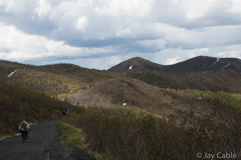
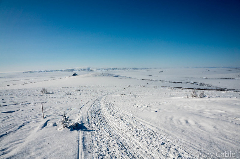
The ride from Elim to White Mountain was awesome as always, scenic, but oh so hilly.
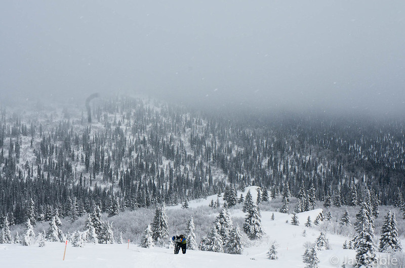
This year the trail stayed overland when leaving Ellim, and went up and down, and up and down..
When I’d passed though Golovin the year before I’d noticed a coffee shop with an open sign that I almost stopped at, but I didn’t. I’d spent the next few hours sad that I hadn’t got some coffee, so this time I was pumped to check it out. Alas, it was closed when we passed through, with a note saying the owners were on vacation. Poor timing — I should have gotten that coffee last year!
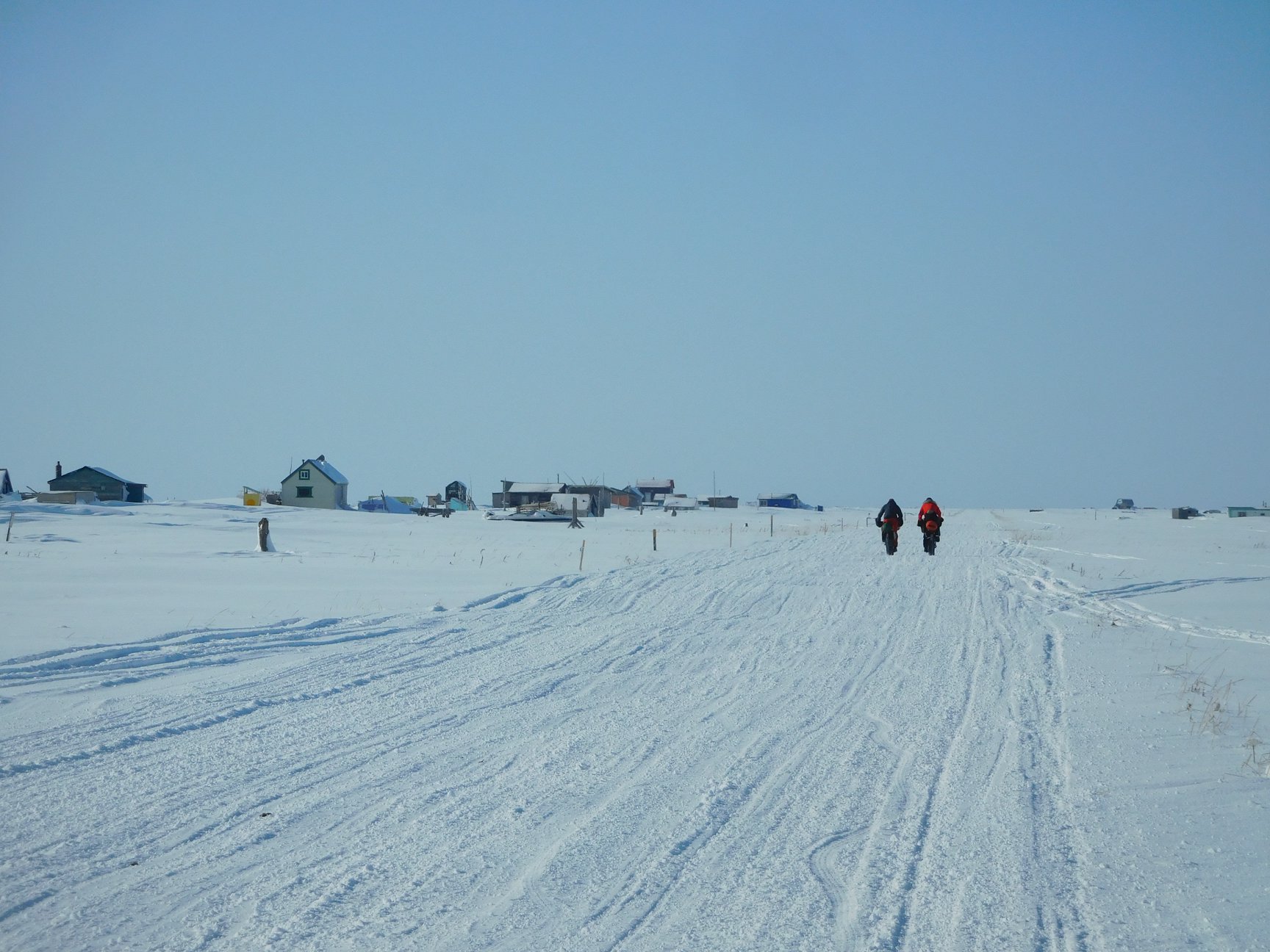
The rest of the ride into White Mountain was fast, and we arrived at Jack and Joanne’s, where we were greeted by their sons Liam and Cha, and soon Jack. Joanne was away attending her mother’s wake in Pilot Station. Jack and Joanne are wonderful people, and I am always excited to arrive at their house. White Mountain is also a bit milestone, as Nome is only 70 (ish) miles away. After a bit of sleep, I ate a big plate of eggs: the second pile of scrambled eggs I have had in the last 20 years. While I refuse to admit it to my daughters, eggs are not nearly as bad as I remembered. We headed out, Nome-bound at about midnight.
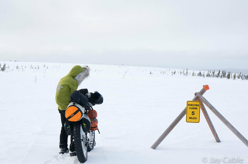
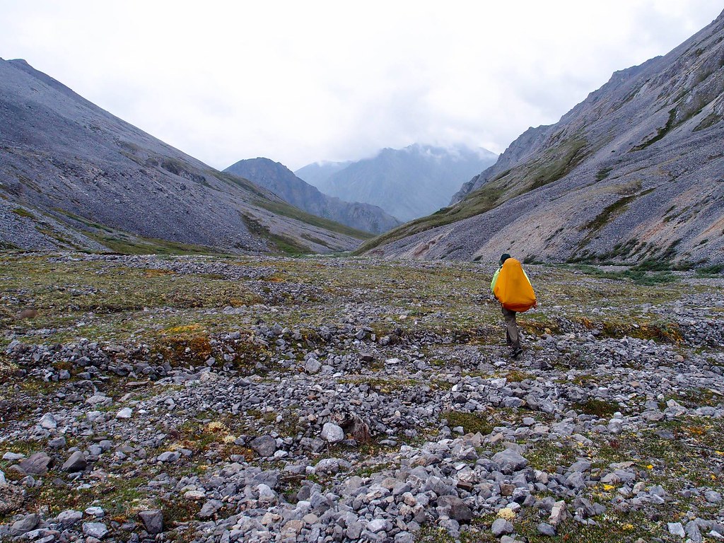
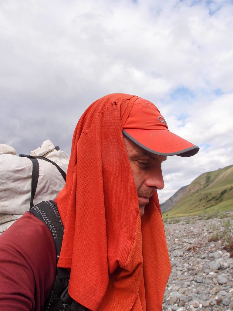
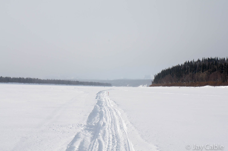
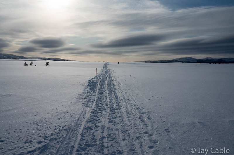
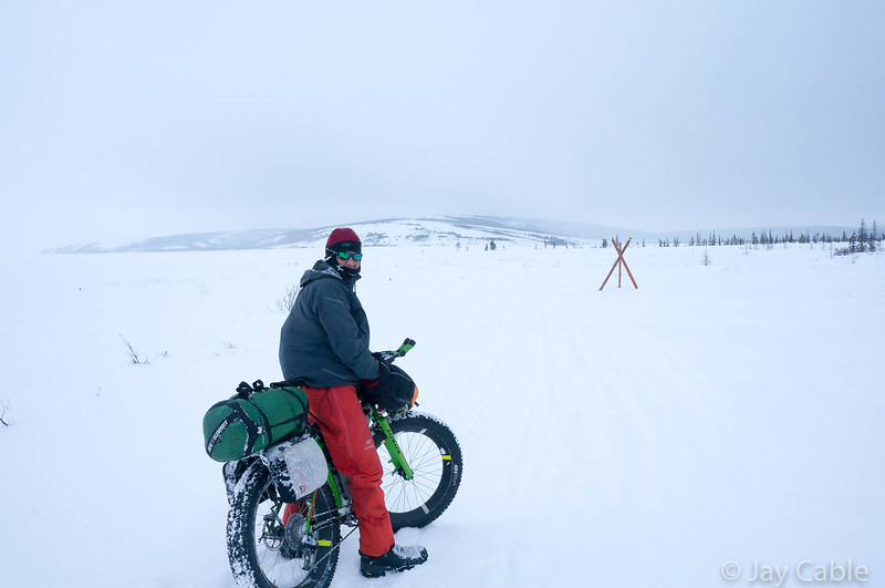
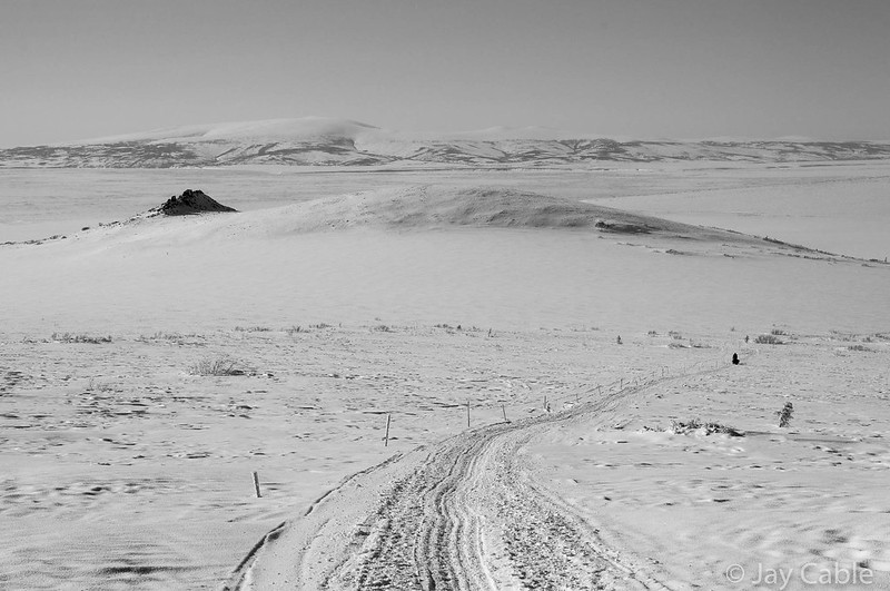
On the way into Golovin we had been passed by several dog teams, including one where the musher was sitting down smoking while making pretty good time up the hills, and another with a jacket saying the “Mushing Mortician”. Leaving White Mountain I noticed there were several dog teams staked out at the Iditarod checkpoint, but it didn’t look like any were about to leave. The trail out of White Mountain starts flat, then after a dozen miles or so starts going up and down. On the hills were we passed by several mushers, all of whom were making much better time that we were. Those hills are steep! We arrived at Topkok, which is at the bottom of a big hill and marks the start of the long, flat, and generally pretty windy ride to Safety.
As was to be expected, it was pretty windy, but there is a fairly big shelter cabin, and we ducked inside to get all ready for the push across the windy flats. This area has the “blowhole”, an area where the wind is funneled into a channel, and it can be amazingly windy. I had never been through this area when it was truly windy, just windy, but we had Phil along with us, and he lives in Nome and was very used to the wind, and is very familiar with this area. Supposedly the blowhole is pretty narrow, and if you just keep going you will come out on the other side. Tim Hewitt had told me a story of walking through the blow hole, and it was blowing so hard his sled was flying in the wind off the ground flapping around with all his gear on it. He said when he came out the other side he looked for something in his pocket and freaked out to discover there was a human hand in his pocket! A hand that turned out to be his glove, blown full of snow.
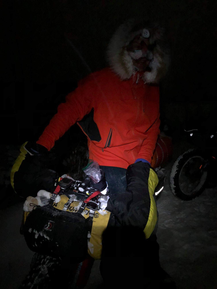
Phil thought it would be windy, but didn’t think it would be a big deal. At about 5:30 am we left Topkok. Almost immediately we were passed by a musher, then ran into him (or her — it was dark and windy) again, as he was zig-zagging back and forth across the trail.
Phil talked to him, and apparently he wanted to know how to find the trail. I could see Phill stomping his foot on the ground trying to convince him to look down, follow the snowmachine tracks, and stay on the hard pack. Perhaps it is harder for mushers as maybe all the dog bodies block the view of the trail, but on a bike it is very obvious, even in the blowing snow and wind we had. While the trail is well marked with lots of reflectors, you can just look down and follow the skid and scrape marks from all the snowmachine traffic. The musher must have gotten the gist, as he zoomed off and we didn’t see him again.
ITI 2018 – blowhole from JayC on Vimeo.
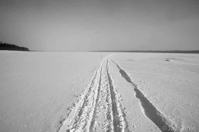
It was very windy, but we could still ride our bikes for the most part, though the trail had lots of little drifts in it and some of those were too big to ride though. A few miles from Topkok Phil stopped suddenly in front of me and asked me “Where is the musher?” I was pretty confused — what musher was he talking about, the one that passed us a while back? Phil pointed to something, which I quickly made out was a sled. Panic set in when we realized there was a dog team attached to it. We dropped our bikes and started looking around. Almost immediately we found another sled and dog team, and behind it huddling in the lee of it were two figures, both bundled up. One had a facemask on, and it was impossible to see if he was conscious, but he wasn’t moving. The other was talking. Phil, Kevin, and I converged around them and tried to figure out what was going on.
The one who was talking told us that “Jim” had gotten his dog team stuck, and ran into trouble, and was now too tired to move, and he wasn’t going to leave him. We asked him what we could do, and he said to get help, his hands were too cold, we needed to find Jim’s SPOT beacon and activate the SOS. We looked over the two sleds, and eventually located one SPOT beacon, and after triple checking with the musher who was talking (we later learned he was Scott Jansen) that he really wanted us to activate it, pushed the SOS button.
The red lights started blinking, and it looked like it was working, so we put it aside, and asked how else we could help. Scott asked us to find his satellite phone, which he said was in his pocket, so he could call and confirm someone was going to come out to rescue him. He was dressed in some sort of snowmachine suit, with lots of pockets, and figuring the sat phone had to be pretty big I somewhat awkwardly patted him down. There was no phone to be found. Kevin, Phil, and I then set out to find it, figuring it had to be someplace. Phil ended up finding it in his sled bag, and Phil placed a call for him to his wife, who much to my confusion seemed to be arguing with him about something. At that point hopefully help was going to arrive, and we asked if there was anything we could do. Kevin was at this point pretty cold, and he needed to move, so Phil and I told him to head to the next shelter cabin, while we tried to see if there was anything we could do. Scott seemed to be ok, just had cold hands, but he turned down my offers of hand warmers.
At that point it seemed like we had done all we could do. Phil and I discussed getting out a sleeping bag, but those things are big, and we figured they would just blow away or immediately fill full of snow. We checked with Scott, and it sounded like we had helped him as much as we could, so we set off to catch up with Kevin, and hopefully use my Inreach to contact Phil’s wife in Nome to call the troopers and confirm a rescue was in progress.
Phil and I then headed out to catch up with Kevin.
Craig Medrid has a really good breakdown of the timeline on his website.
We arrived at the shelter cabin to find it the entry full of snow and nearly impossible to get into. I was intent on texting Phil’s wife though, so I dove though a little hole in the snow drift blocking the door, and smashed down into some chairs as I slid down the other side of it into the first room of the cabin. From there I text-ed Phil’s wife Sarah to call the troopers and please let us know if there was a rescue in progress, and if not, get one going! Sarah, being the awesome person she is, immediately texted me back letting me know that she got it, and was calling. I climbed back out the little hole I had slid down, and fell out back into the wind, and we continued trudging towards Nome. I was feeling like a huge failure at this point, worried Jim was dead, and that we hadn’t done enough for them. So many second thoughts, so much thinking about what I could have done that would have made a difference.
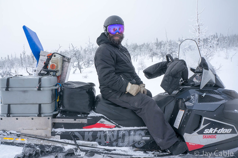
Ten minutes later or so Sarah texted me back saying a rescue was in progress, the troopers were aware they needed to be rescued and help was on the way. That was huge load off my mind, but we were a pretty sad group as we slowly trudge towards Safety. At some point a big wide track machine came very slowly up to us, and Phil talked to the driver, who was apparently out to check on the two mushers. Later we were to learn she was Jessie Royer, a musher who had finished, then snow machined to Safety to see a friend pass though, and headed out to check on the mushers when it looked like they might be stuck. Phil told her where they were, and we continued on, only to see another group of snowmachines, this time big racing sleds come zooming up. Phil talked to them and they zoomed off. After they were gone Phil explained they were with Nome search and rescue, heading out to find the mushers and bring them back to the Safety. A while later they came zooming back by, this time with the two mushers on the back of the sled. One of them, Jim I guess, was flopping around like a rag doll, and they stopped right in front of us as he had nearly fell off the back of the sled. I was feeling a bit better now , as now they were at least alive and on their way to help. Hours later we pulled into Safety, the last checkpoint before the finish in Nome, and learned that both mushers were ok, which was a huge weight off my mind. Apparently after warming up in the Safety Roadhouse they were fine, and were flown to Nome.
After a few Cokes, at least one microwave “burger”, and a bit of chatting with the checkpoint volunteers, we headed out. Everyone talks about the burgers at Safety, and the first time I was disappointed to find it was a microwave frozen burger-like thing. Food, but not awesome food. They have Coke though, and that is like heaven.
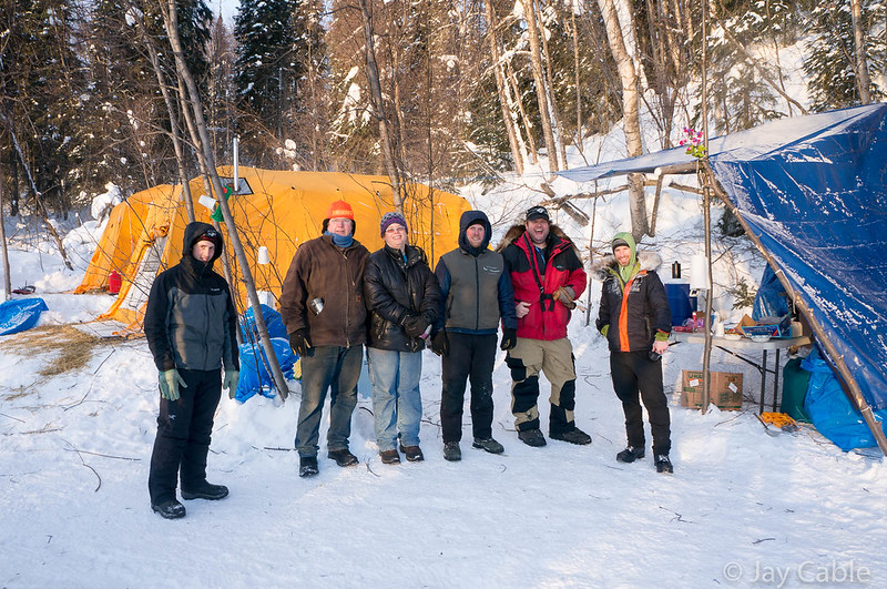
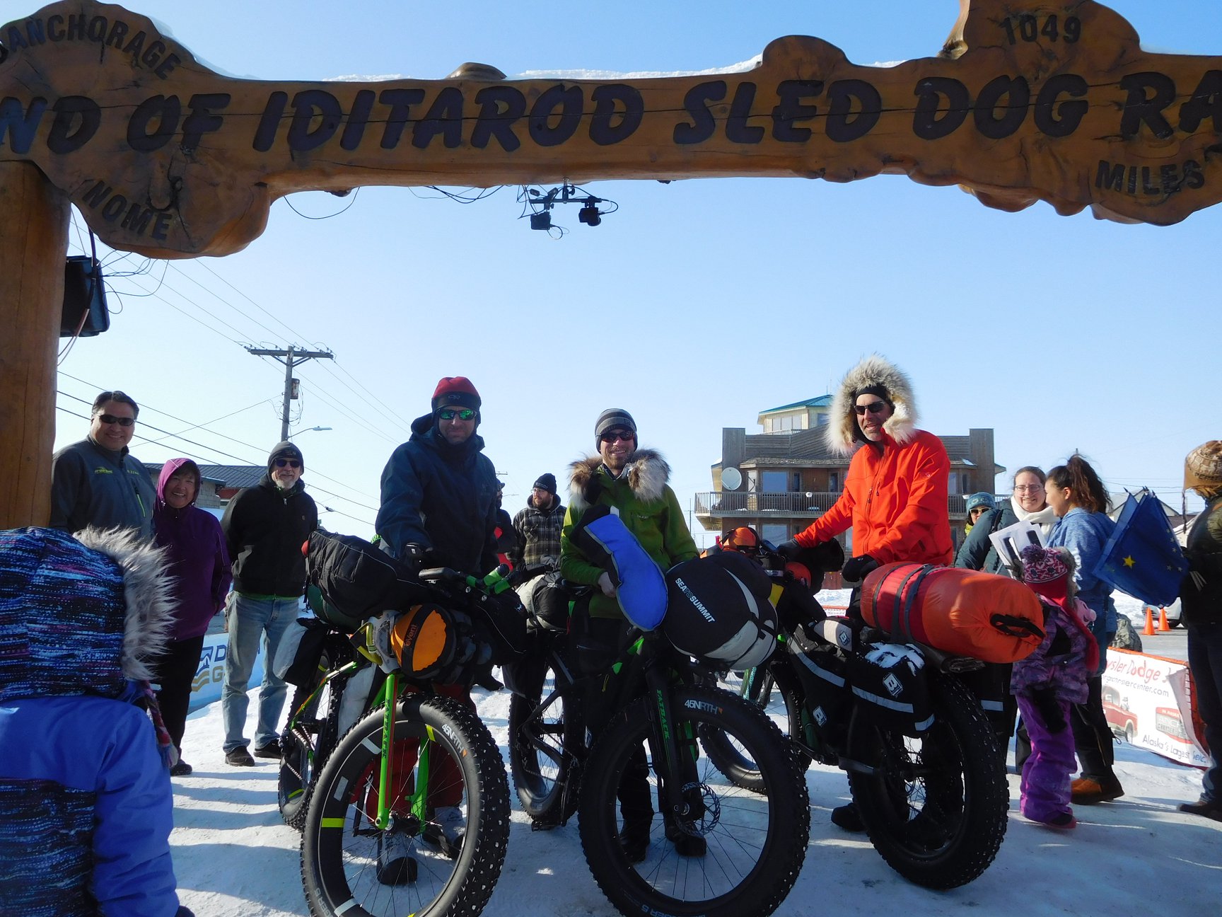
The last twenty miles into Nome were a bit of a slog, with slow trail chewed up by lots of snowmachine traffic, but eventually we hit the road, and zoomed into town. I could barely keep up with Kevin and Phil, but they took pity on me and slowed down so I could keep up. There was a big group of folks waiting for us at the finish — I guess finishing with a Nome local has its perks! Sue and Glenn, some (former) Fairbanks friends meet us at the finish, as well as Steve Cannon , and Kathi, the organizer of the ITI.
A few days of hanging out in Nome with Sue, Glen, and their dogs, and I headed home.
After an event like this I have a huge list of folks to thank.
First, I need to thank my family: Nancy, Molly, and Lizzy. Thanks for your understanding and support; it means the world to me.
Second, I need to thank everyone who helped me on the trail. It is a huge list: the Petruskas, Tracy and Peter Schneiderheinze in McGrath, the folks in Iditarod, Lee in Shageluk, Jay in Anvik, Shirley in Grayling, the schools in Shaktoolik, Koyok, Ellim, and Kaltag, Joanna, Jack and their family in White Mountain.. Thanks ever so much!
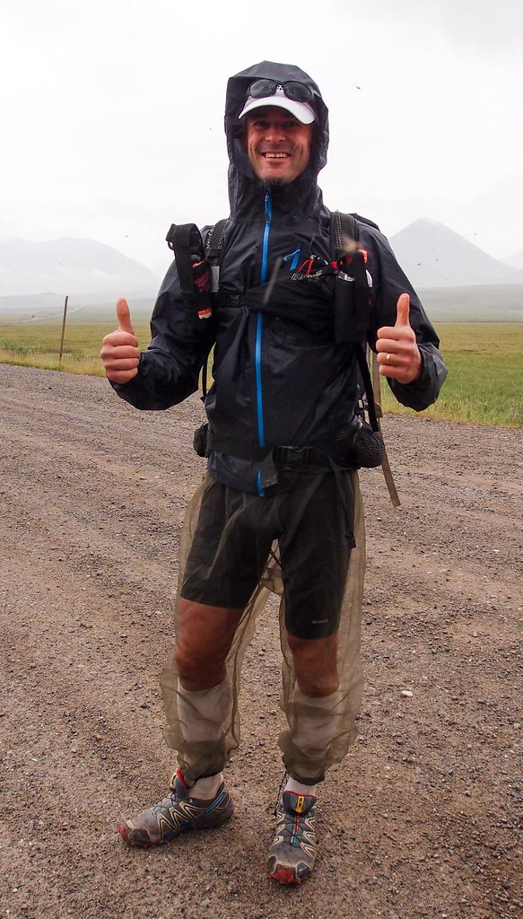
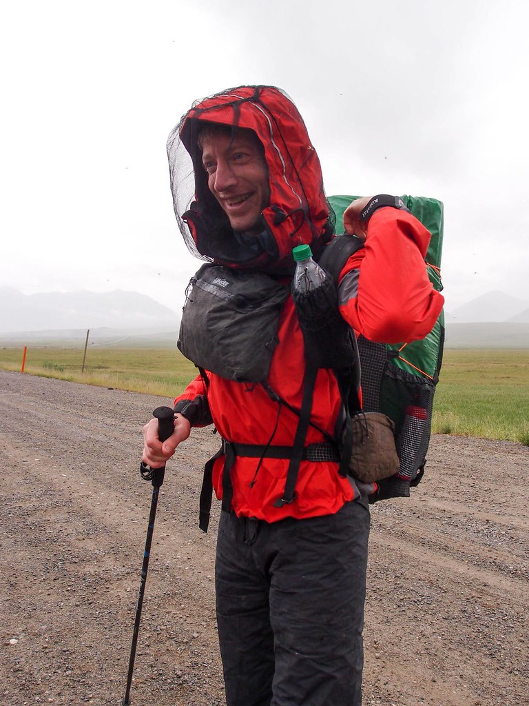
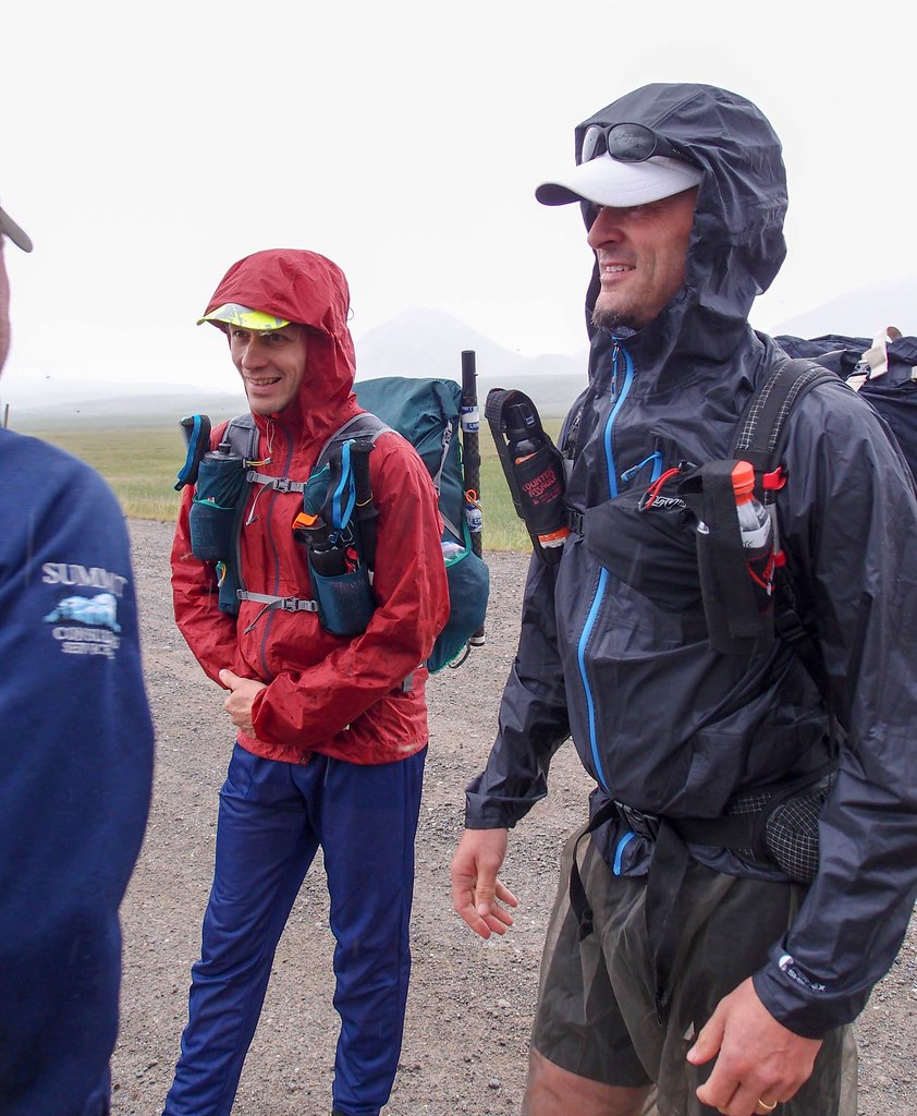
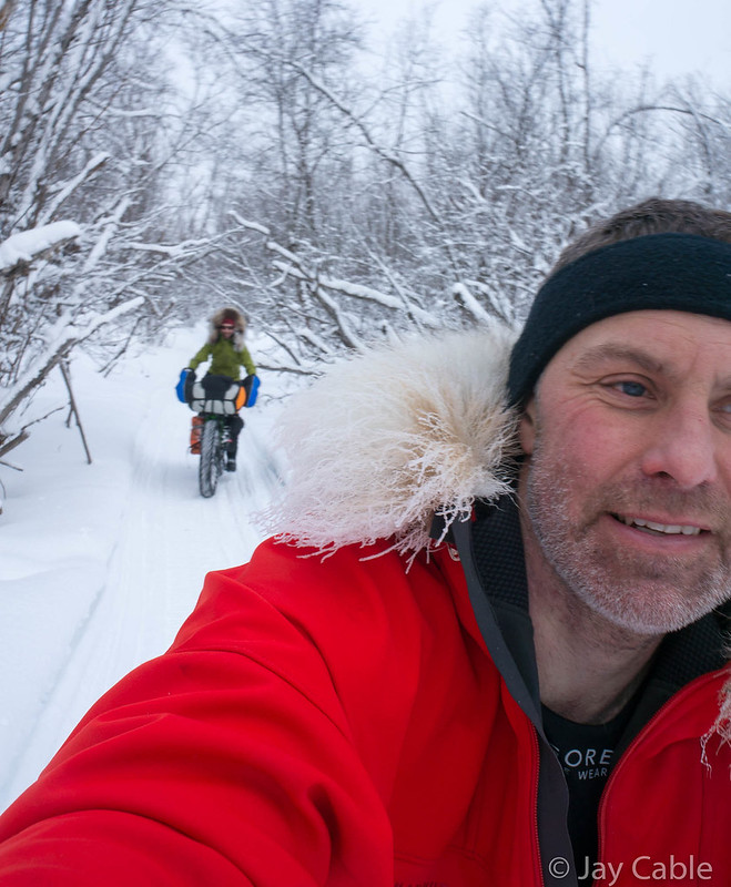
I would also like to thank everyone I traveled with on the way to Nome this year: Nina, on the way to McGrath, and Kevin and Phil on the way to Nome. Thanks for putting up with me, and for your company on the trail!
Finally, I really need to thank Sue and Glenn in Nome. You guys have hosted me for the last three years in Nome, and I really look forward to the welcome. Thanks ever so much for your hospitality!
I also would like to congratulate Jay Petervary on setting a new record and having a great race – congratulations! Jay was so fast I think he was back home in Idaho playing with his dogs after several days of sleep when we finished.
I will put up a follow up post with some details on the route, gear, what worked and what didn’t, etc.
[AFG_gallery id=’2′]