I love Beaver Creek! I try to do the classic Nome Creek to Summit trail float and hike once a year or so in some form. It is beautiful and the logistics are simple so it makes a great easy packrafting trip.
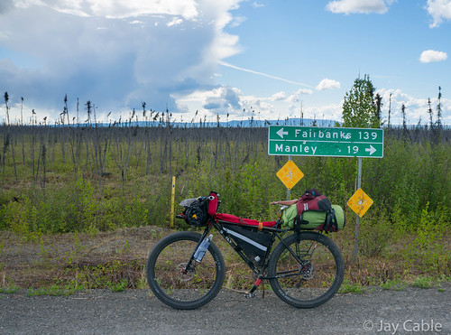
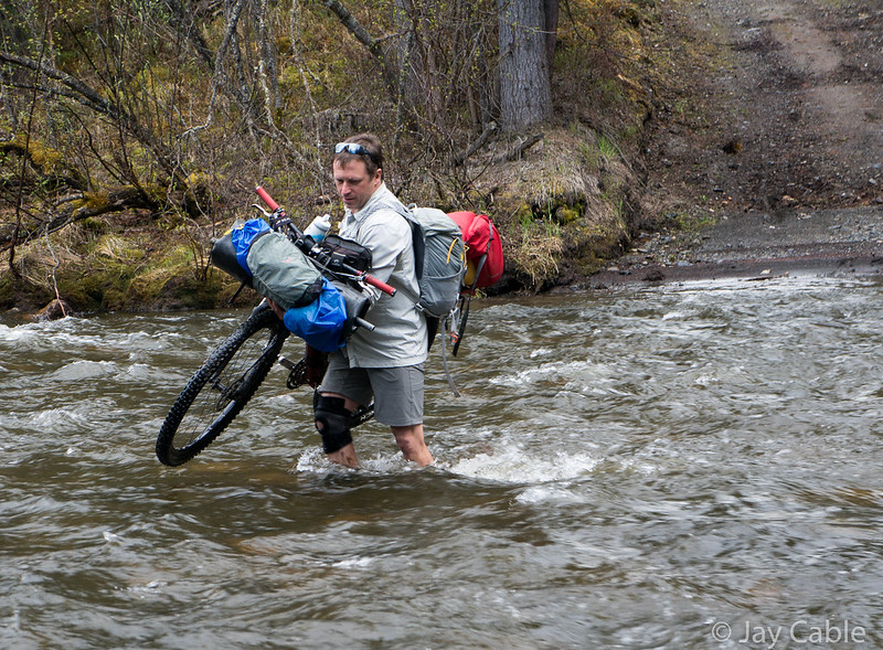
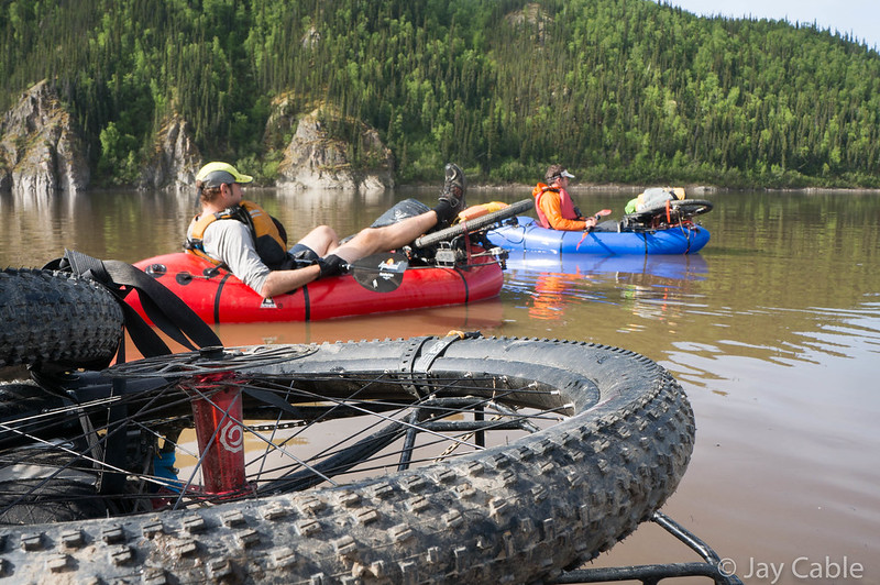
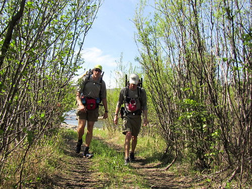
Four years ago our whole family packrafted (google says it should be spelled pack-rafting, but what does google know? 🙂 ) Beaver Creek, floating down to the Summit Trail and hiking out to the Wickersham Dome trailhead. It was a mixed bag – the twins had fun for sections, but Lizzy in particular hated the brush and didn’t enjoy the packrafting with two people in a boat that much. The weather was not ideal – we got hailed on several times during the float and rained on a fair bit. This year we ended up with a Memorial day weekend without commitments and so I started aggressively pushing to do something fun outside. Doing a repeat of the Beaver Creek came up, and Molly seemed excited about it once I pointed out they could be in their own boats, and that BLM had trimmed the dense (!!) brush in the first eight miles from the river. Lizzy was not excited about the hiking part because of all the brush in the trail, and “packrafting is dumb”. Her irritation about the brush is understandable as it was in her face when she hiked it four years ago, which is a lot worse than having it waist level like it is on me. Her disliking of packrafting is also sort of understandable, as the the only trip the twins have been on they didn’t get to control their own boats and were in double boats, so there wasn’t much to do besides bob around and be cold. Eventually a compromise was reached, and we decided Molly and I would float Beaver Creek, then Nancy and Lizzy would meet us half way on the hike out. My friends Tom and Amanda were going to join us.
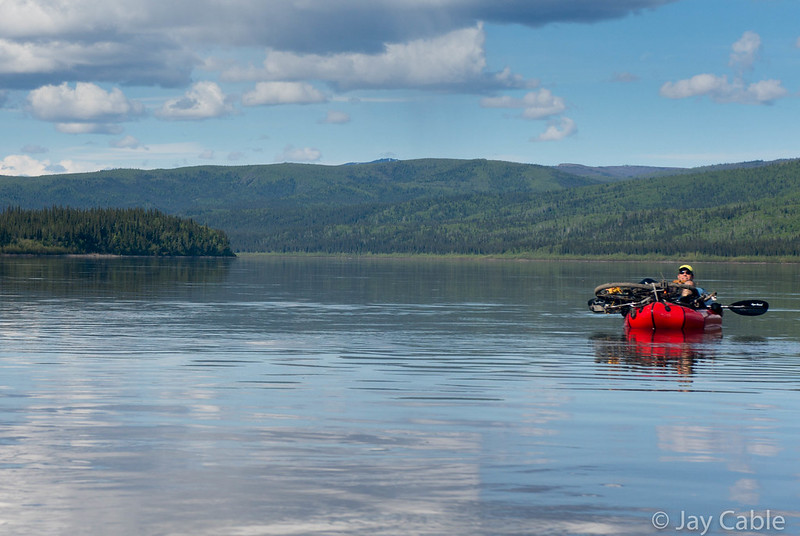
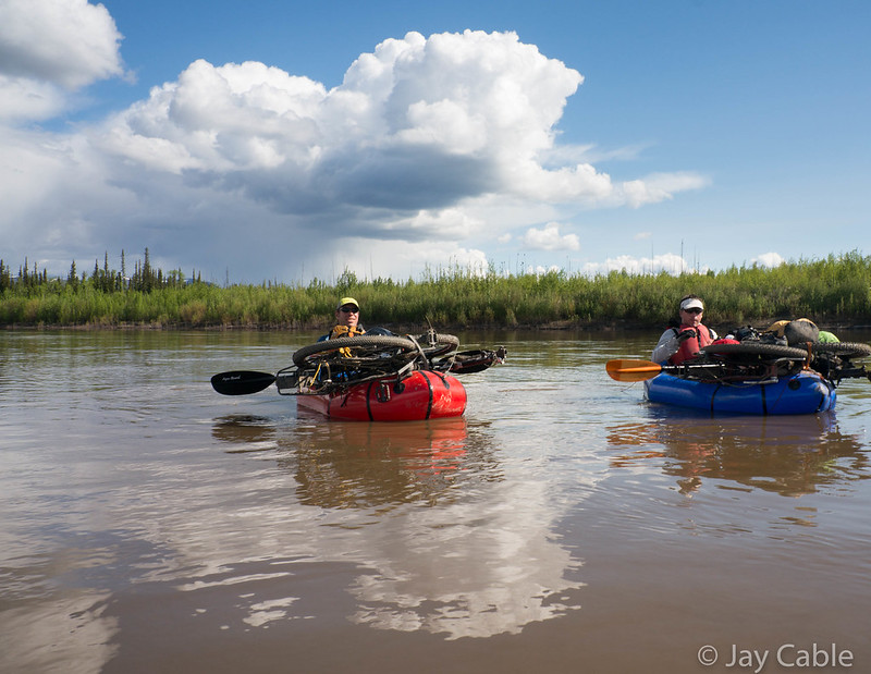
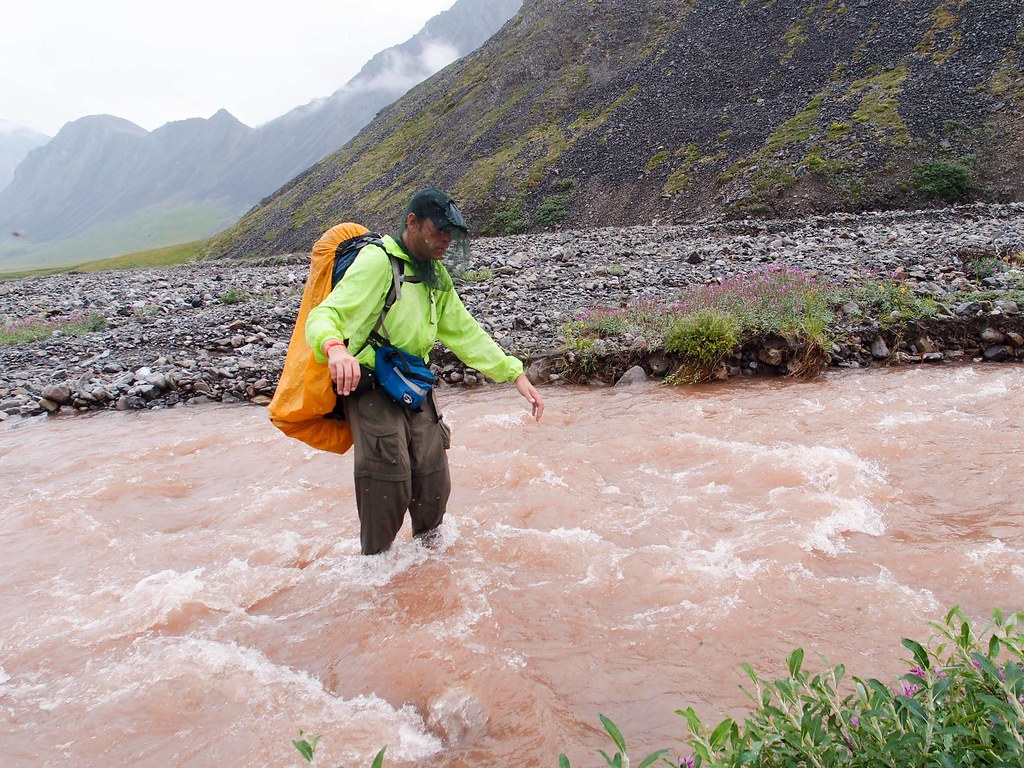
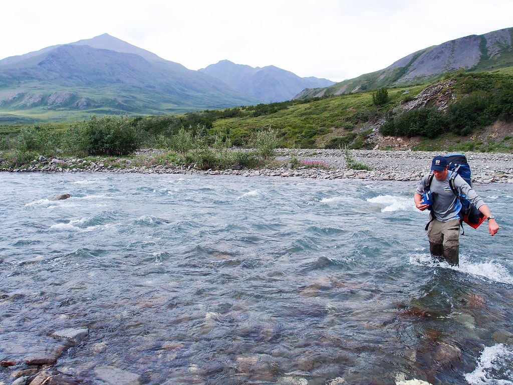
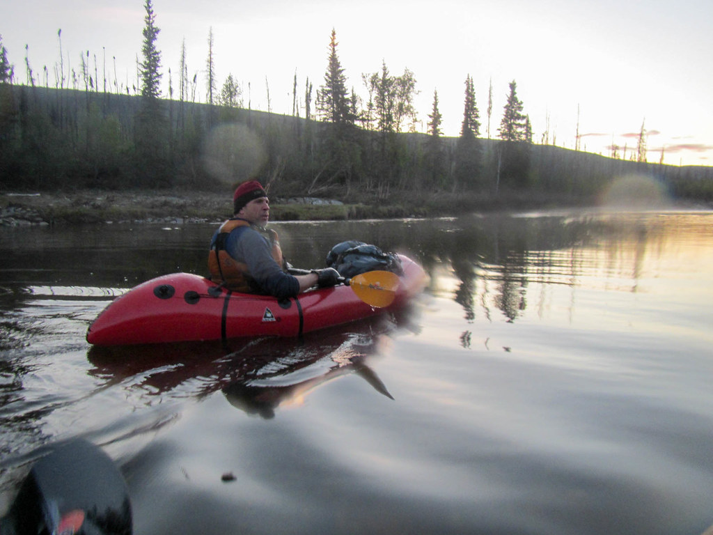
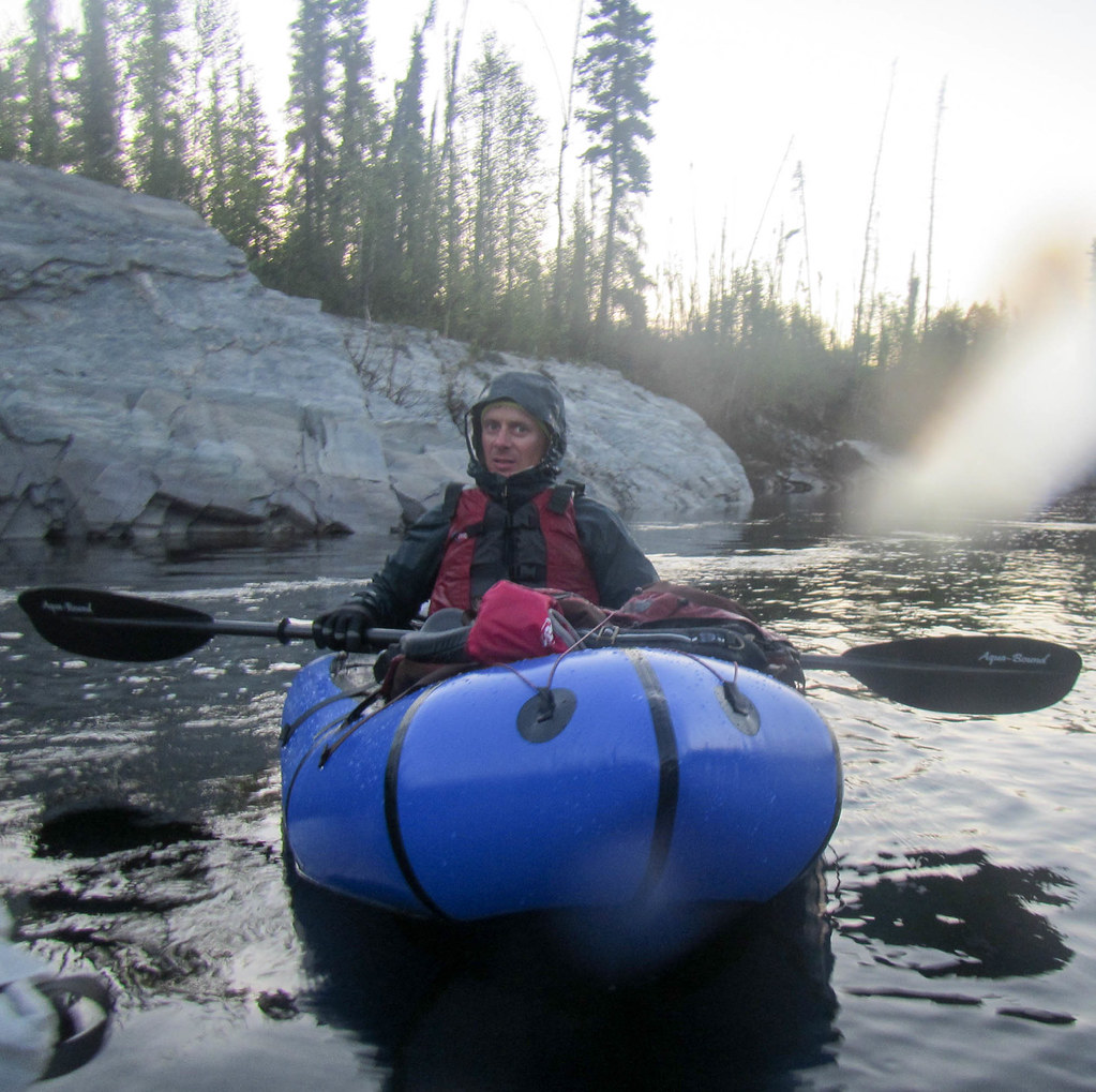
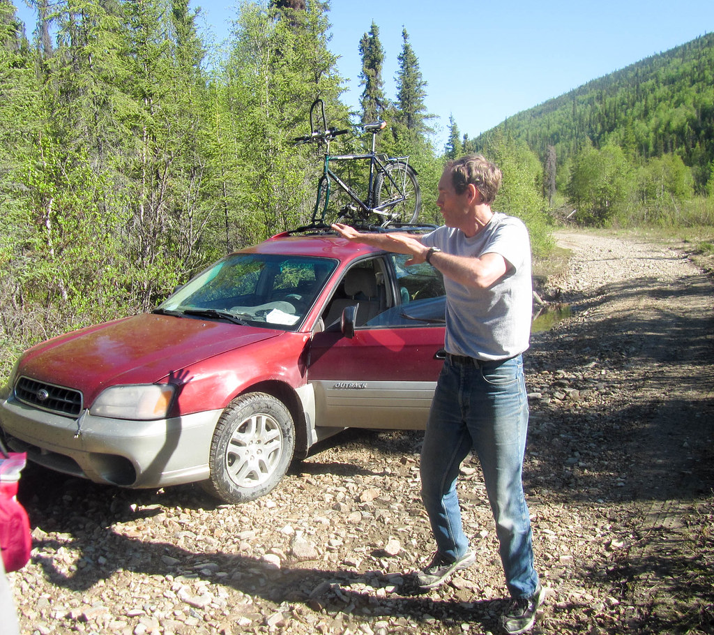
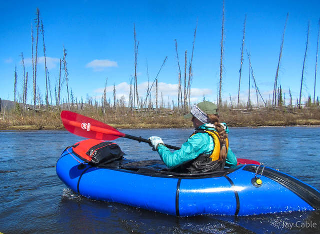
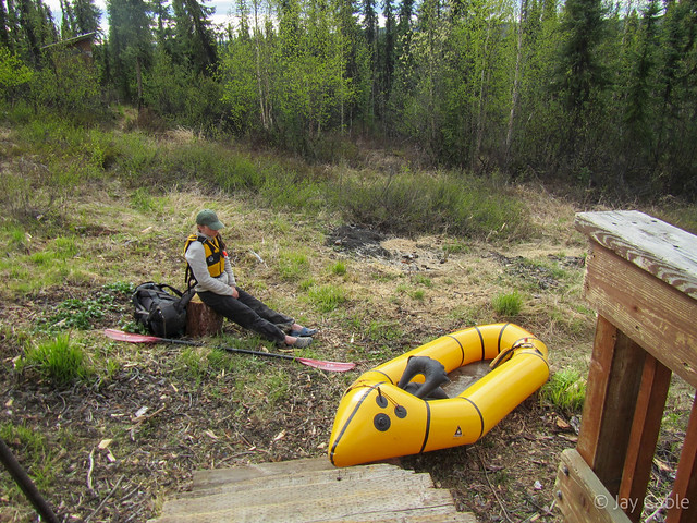
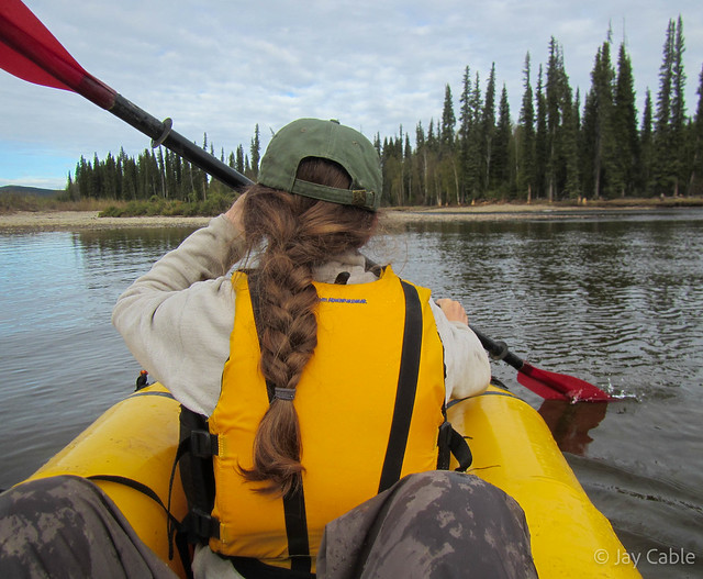
Alas, as the trip came closer Tom hurt his back and the forecast was for unseasonably cold weather. Yikes! Tom’s back issues were abating but not well enough for the hike, but Molly was still up for it, and the weather was to go back to the normal sun by the time we were hiking so we charged ahead. Our friend Heath dropped us off at the put in were our car read 37f with a stiff breeze. Molly was in my boat with a white water skirt, and I was in an open double boat (alpacka calls them double ducks). After a bit of messing around we got inflated and were soon floating down the river.

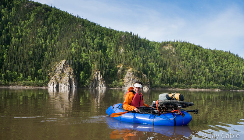
Much to my surprise Molly was quite warm sealed into the boat with a skirt. I was not though – my feet were very cold by the end of the day.
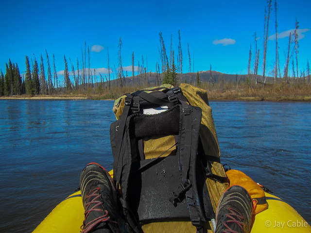
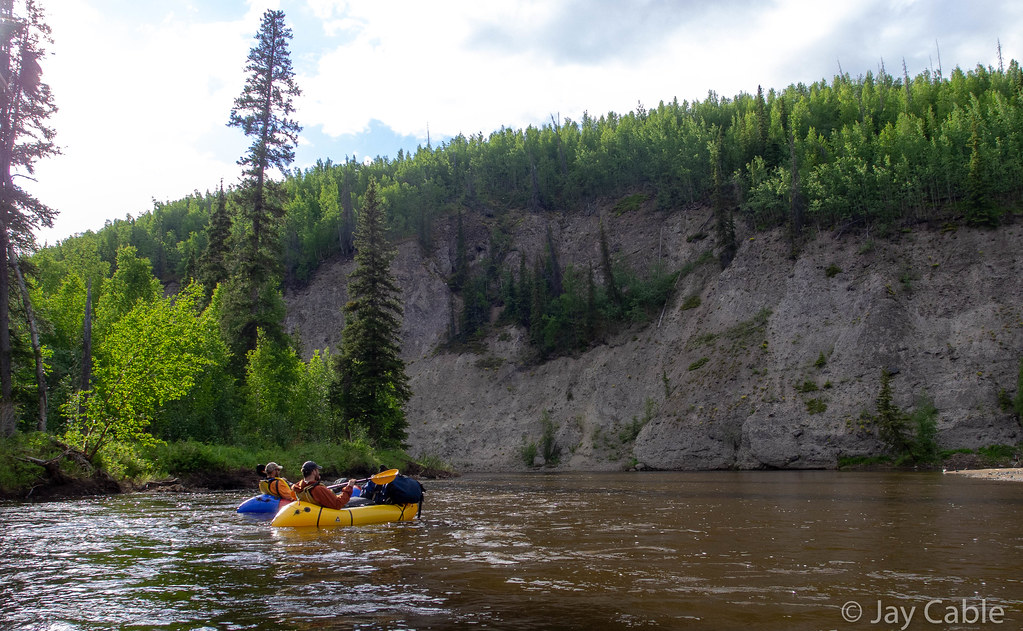
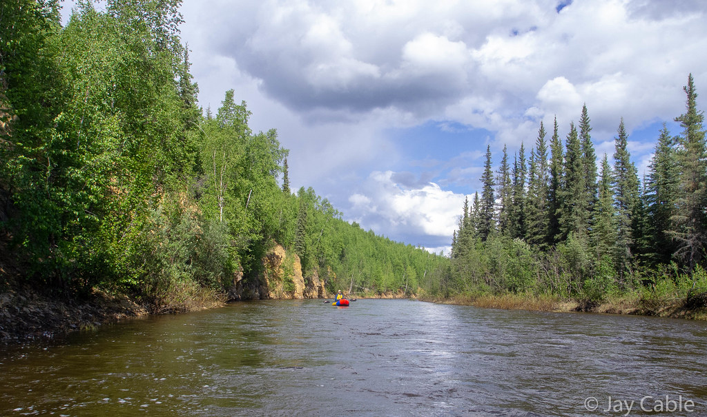
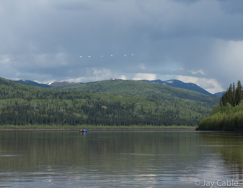
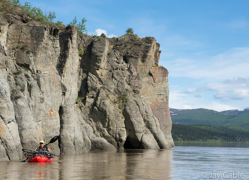
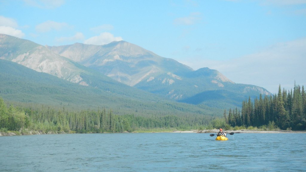
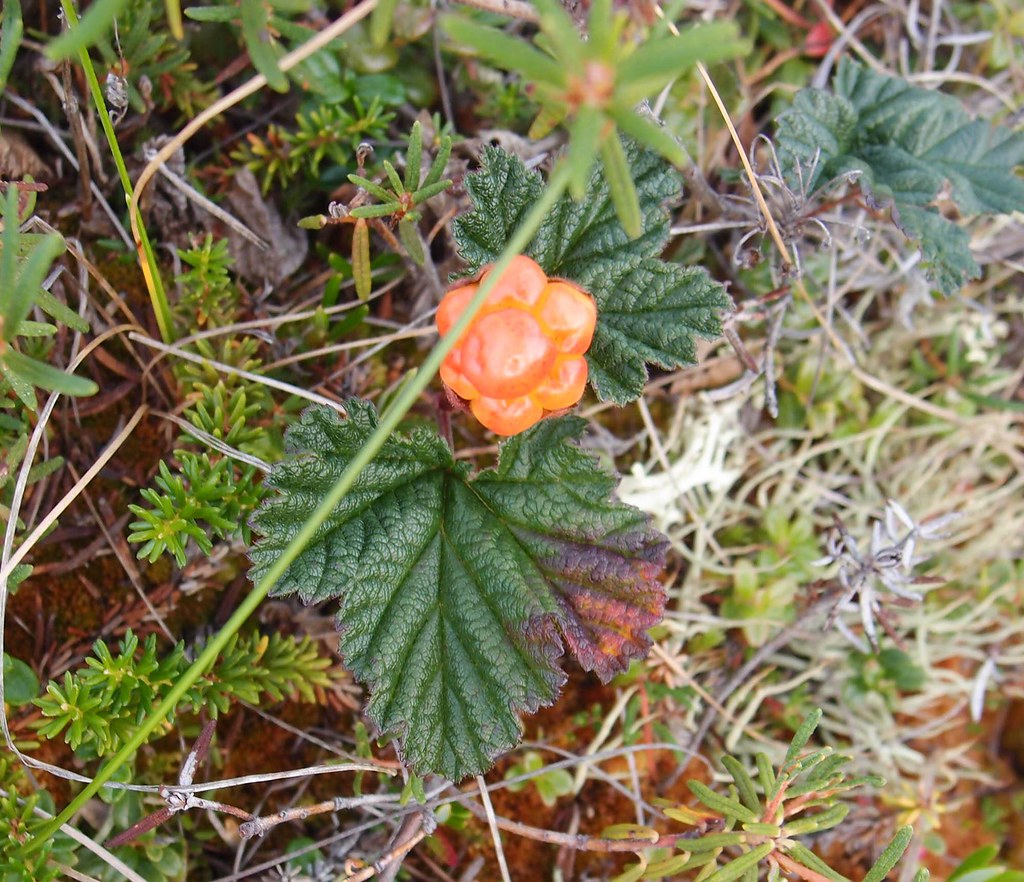
The float down beaver creek was uneventful but fun. Molly seemed to pickup the packrafting basics quickly, and my worries of her flipping or getting into wood in Beaver Creeks class I (maybe II if one is very generous) whitewater didn’t come to pass. The twins have been doing an internship with the Alaska Songbird Institute helping monitor Tree Swallows, and have developed a keen interest in birds.
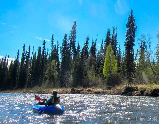
There were lots and lots of birds to see. Bald eagles, a few other large birds of prey, tons of ducks and other waterfowl.

lots of wolf tracks on the river..
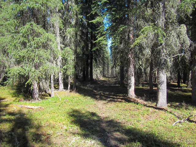
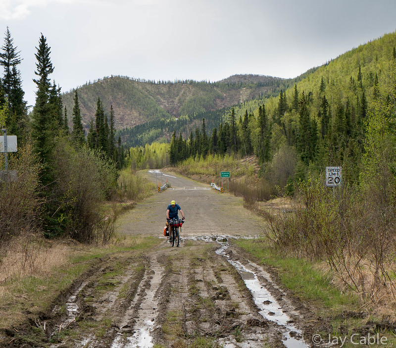
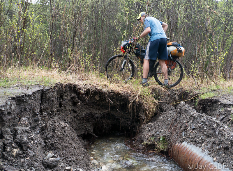
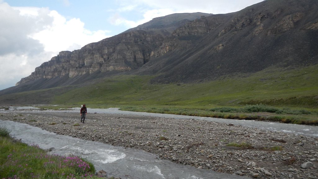
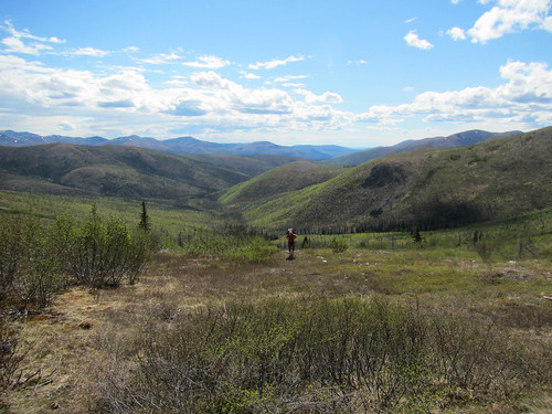
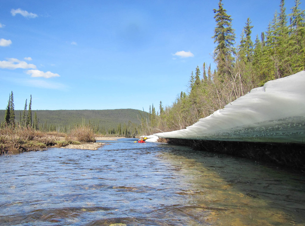
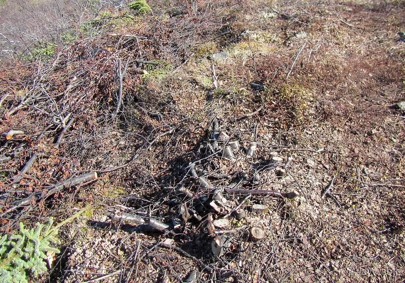
The brief bit of winter trail near the river looked great.. the other side was a different story though.
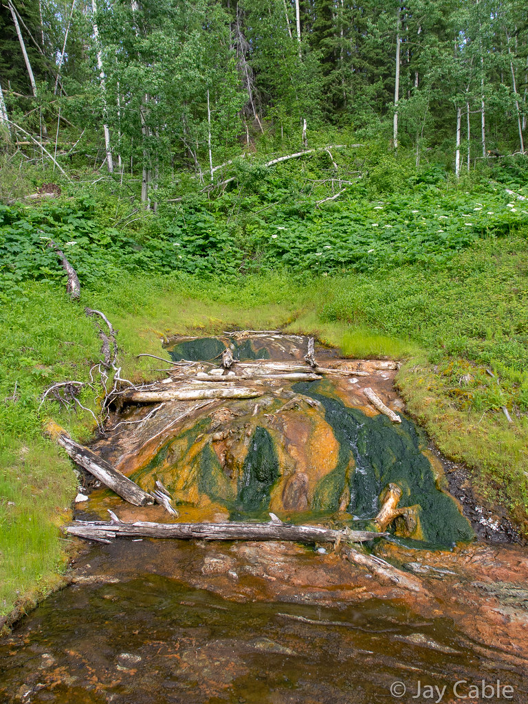
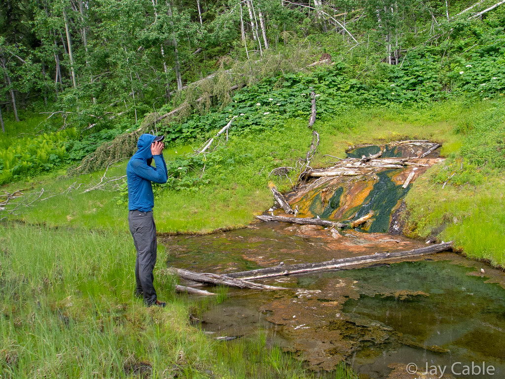
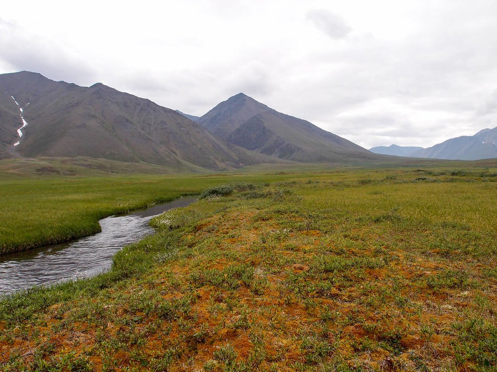
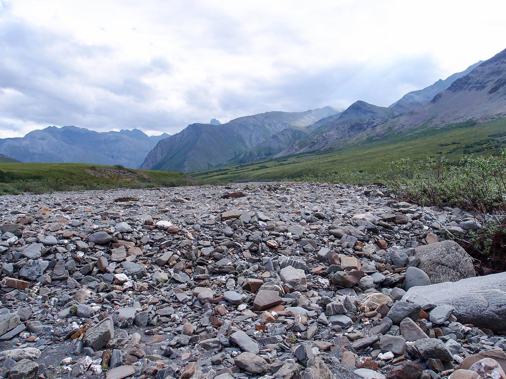
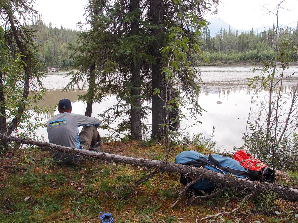
A few miles upstream of our take out in a straight line the river had cut off a long oxbow and was now taking a new channel, leaving a deep backwater pool were the river used to flow. Seeing the river evolve was pretty neat!


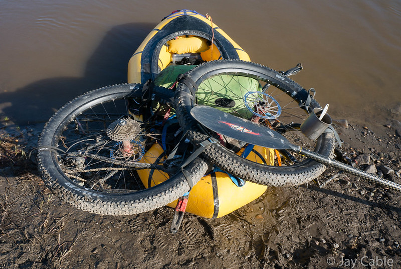
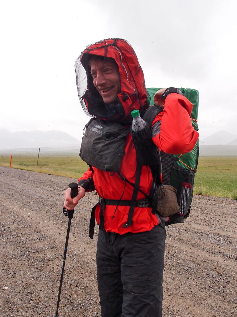
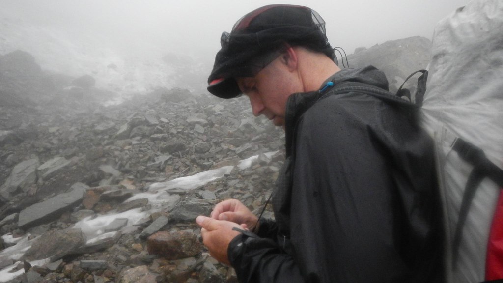
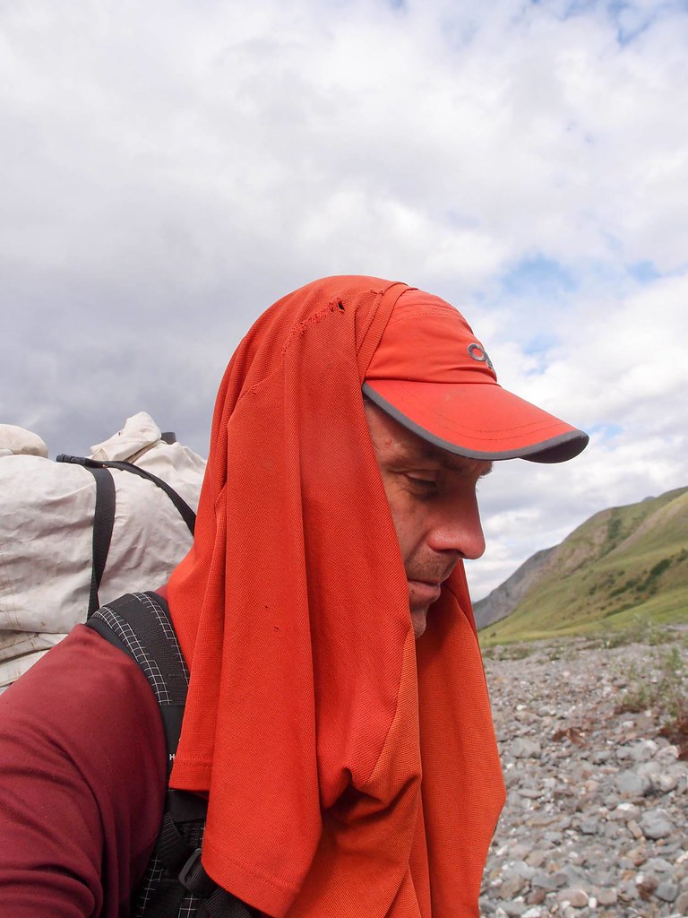
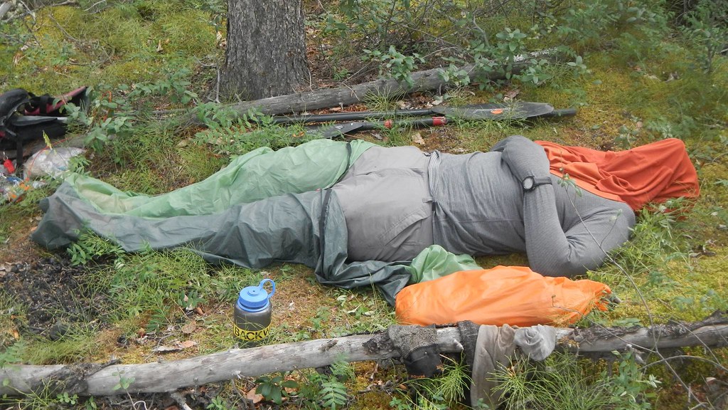
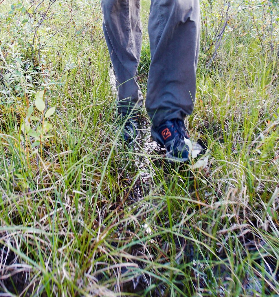
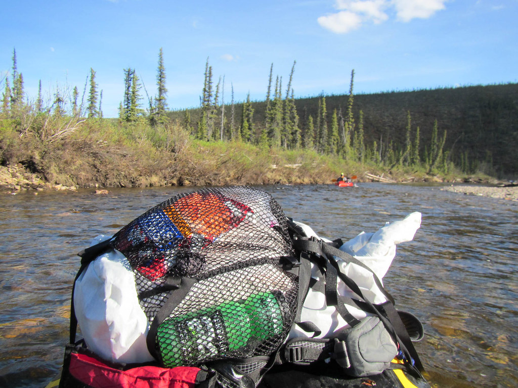
The “too much floating look”..
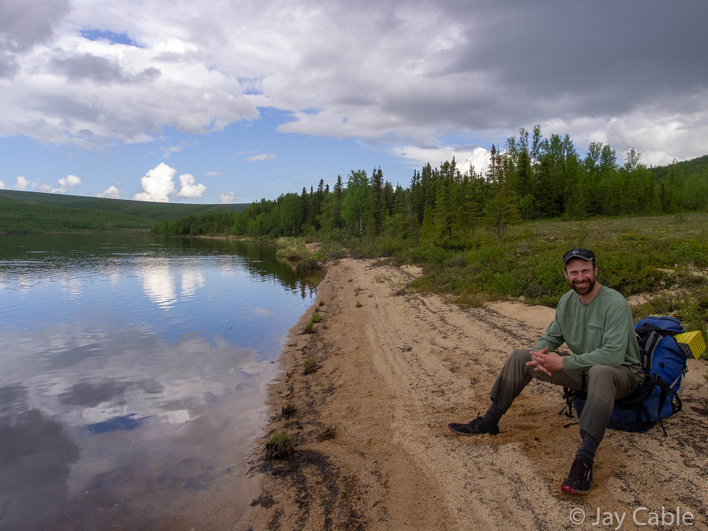
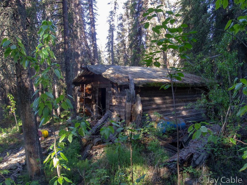
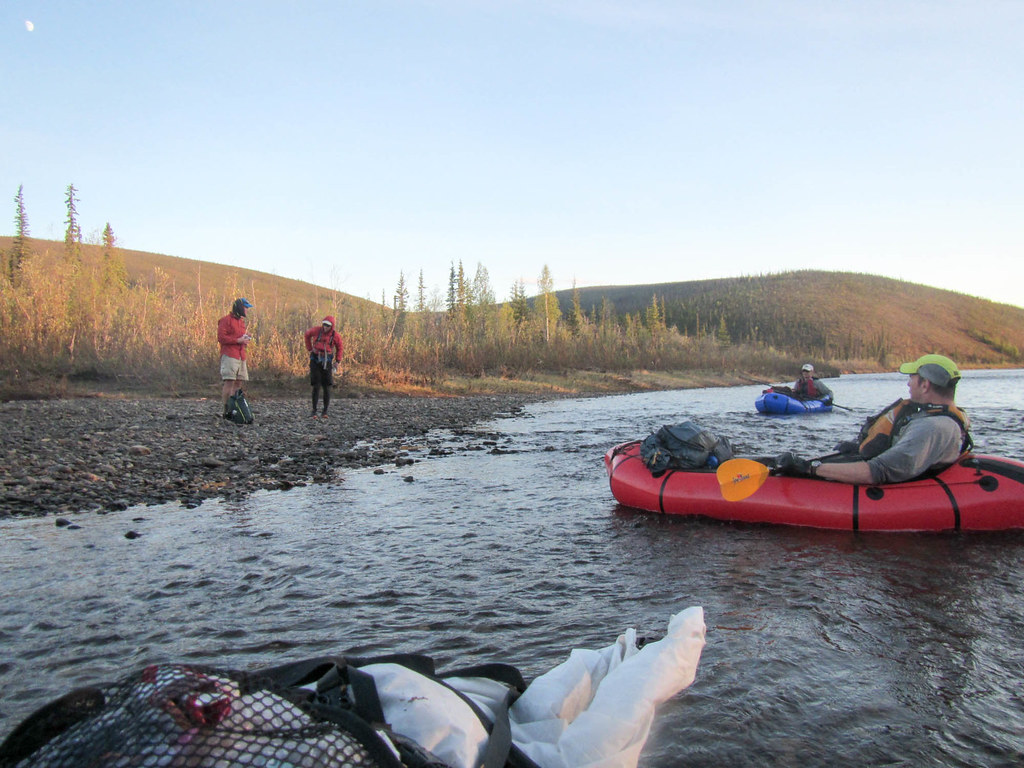
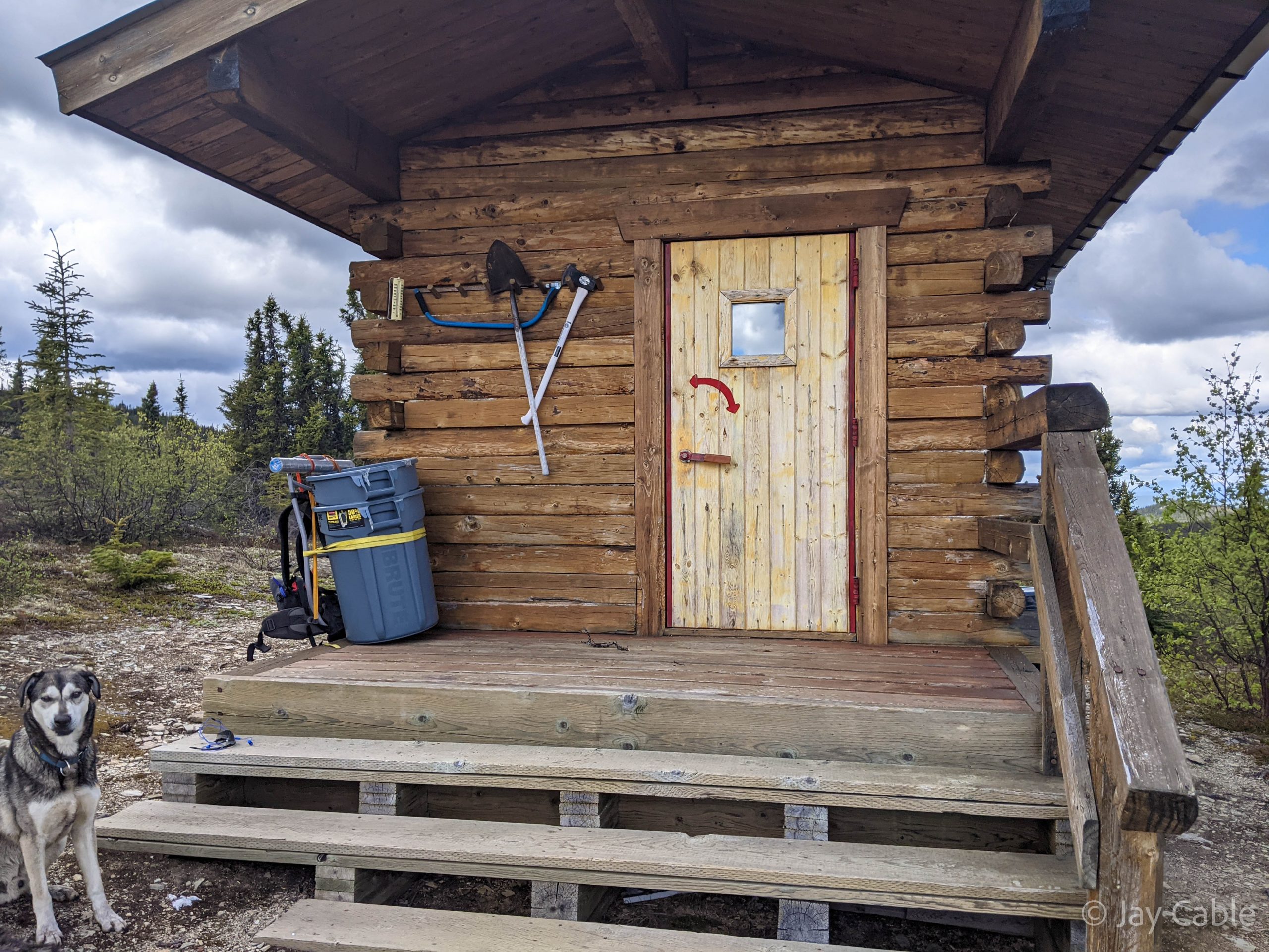
Our plans were to float most of the way to the takeout then camp on the river, but the float was faster than I expected, and in around eight hours we pulled into Borealis-LeFevre cabin just across from the take out. The place was a bit of a mess – very muddy, with TP and trash littering the grass around the cabin, but the warm of a woodstove was very appreciated. It took several hours for my feet to recover from the cold float.


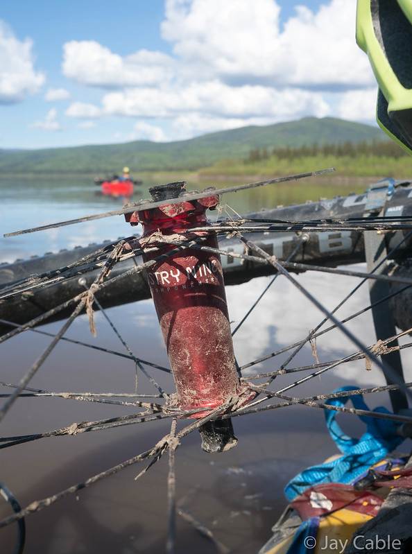
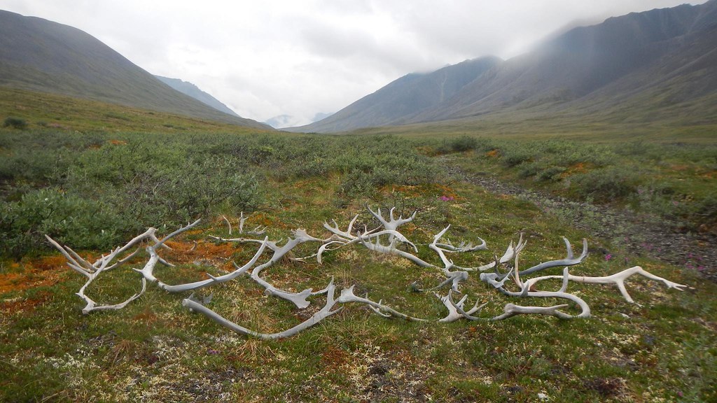
Mystery drift wood..
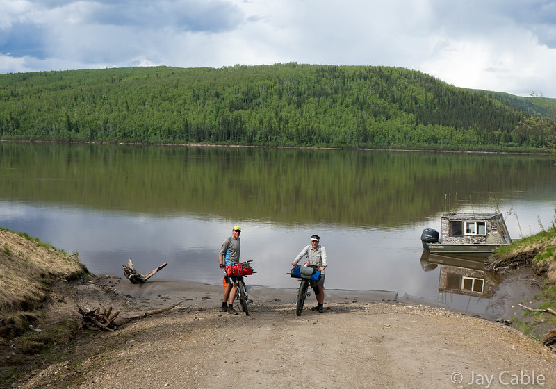
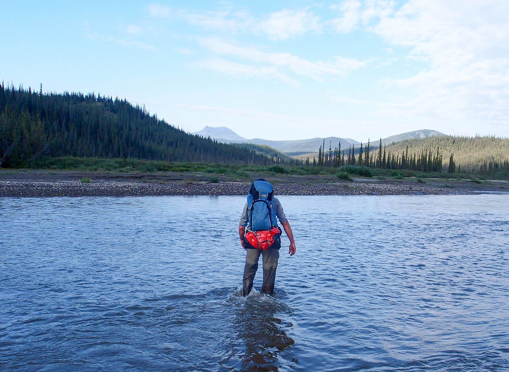
The previous visitors had left the new window open and the shutters unlatched, and as we arrived they were banging in the wind – I was bummed to see it left like that. BLM had just put a new opening window in this winter (I think? Maybe it was earlier..) and it still has a screen free of holes. An opening window with a screen without holes is quite a luxury in this cabins, but it is going to be a short-lived one if folks leave it open all summer. A bit of sweeping and picking up, the fire started, and the place was warm and cozy. In the morning we loaded up into the double boat, and with two trips we are across the river and hiking out.
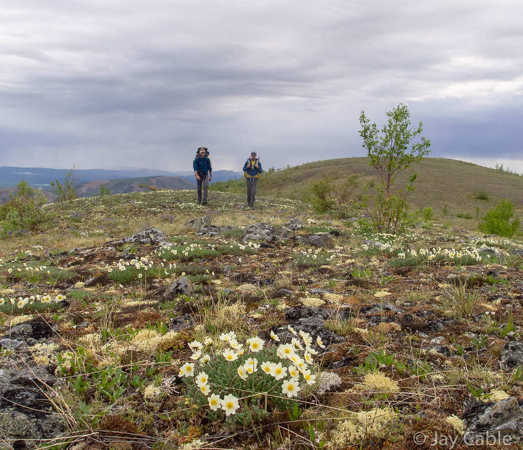
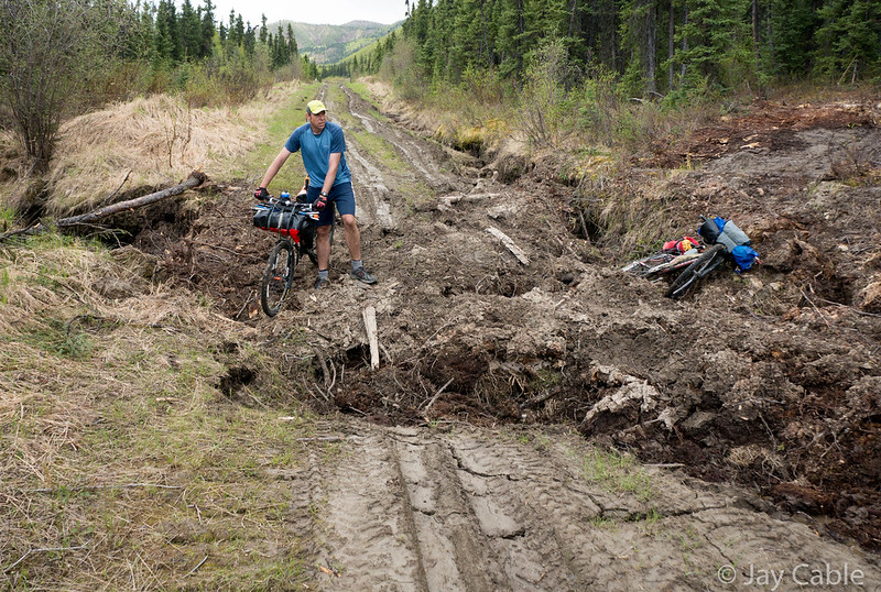
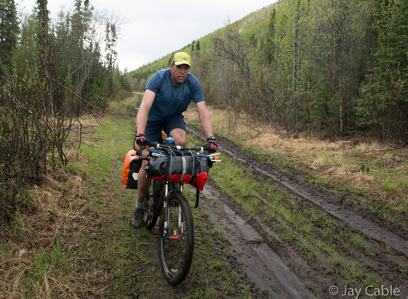
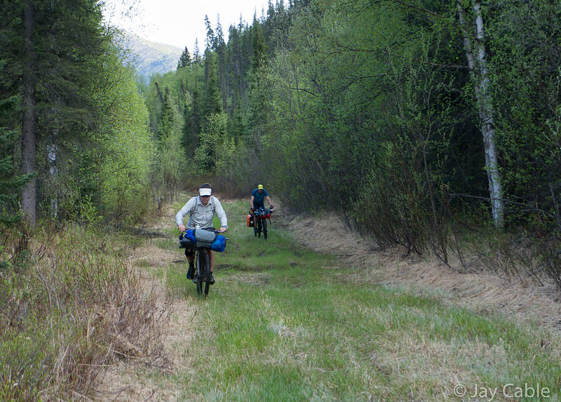
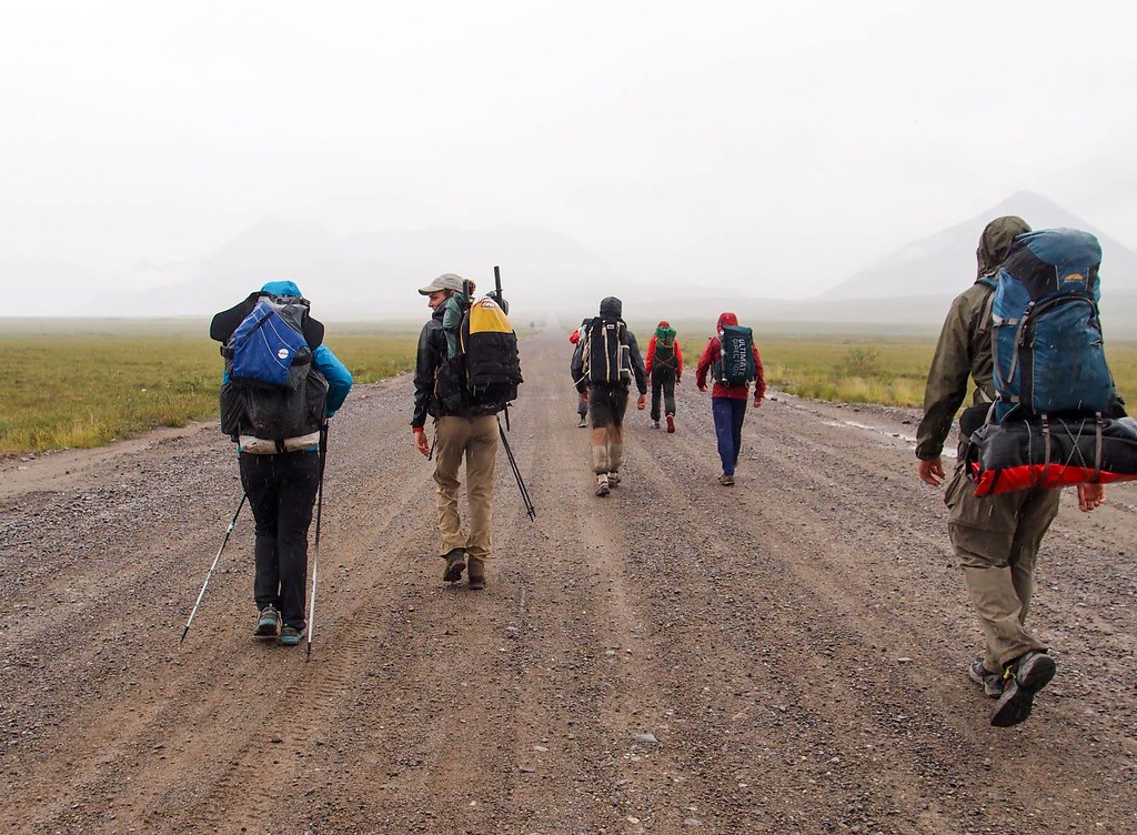
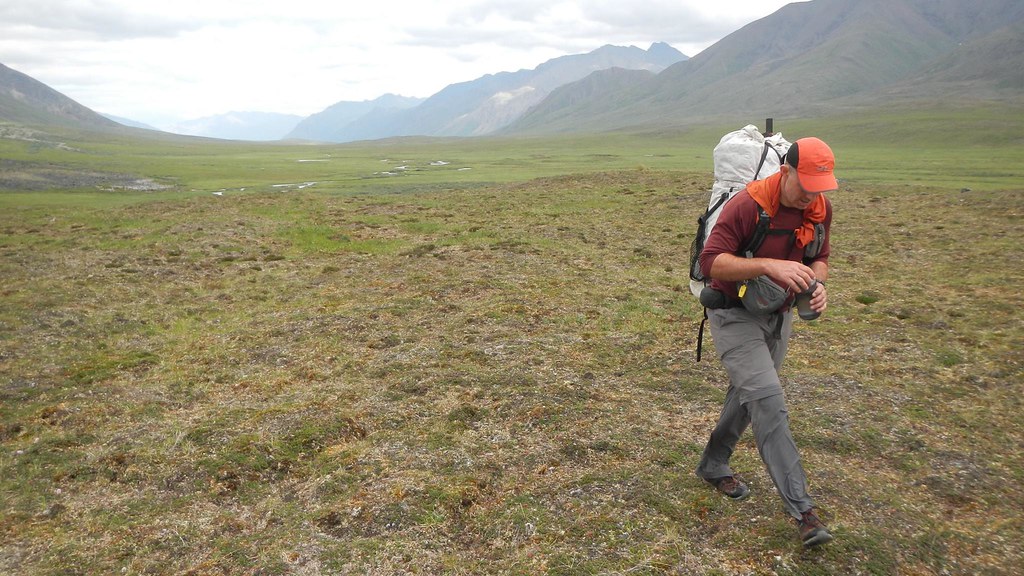
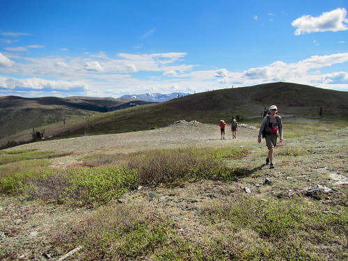
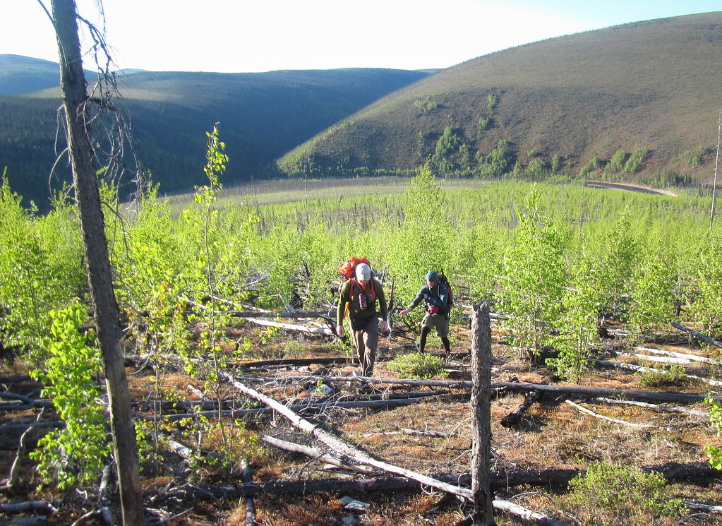
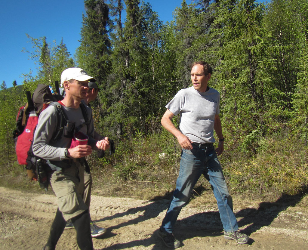
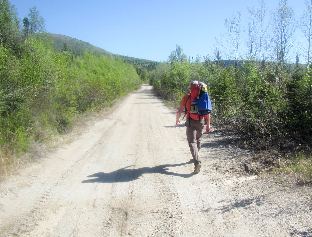
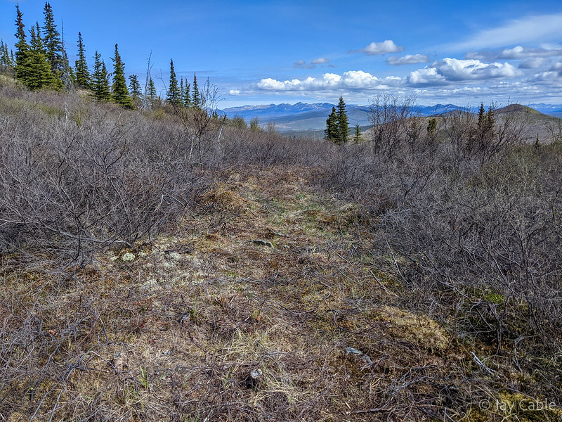
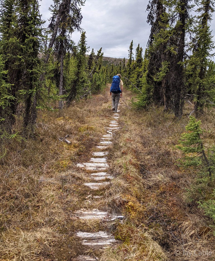
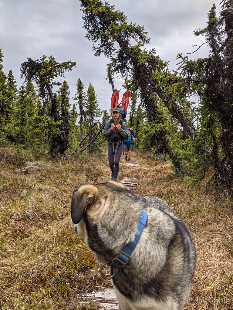
BLM had done a fantastic job clearing the trail. The dense brush of our last hike is gone, leaving a nice clear trail – yay!


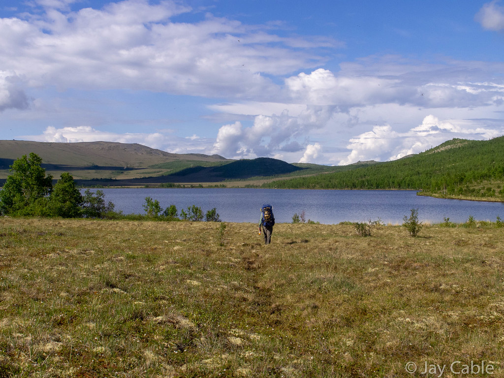
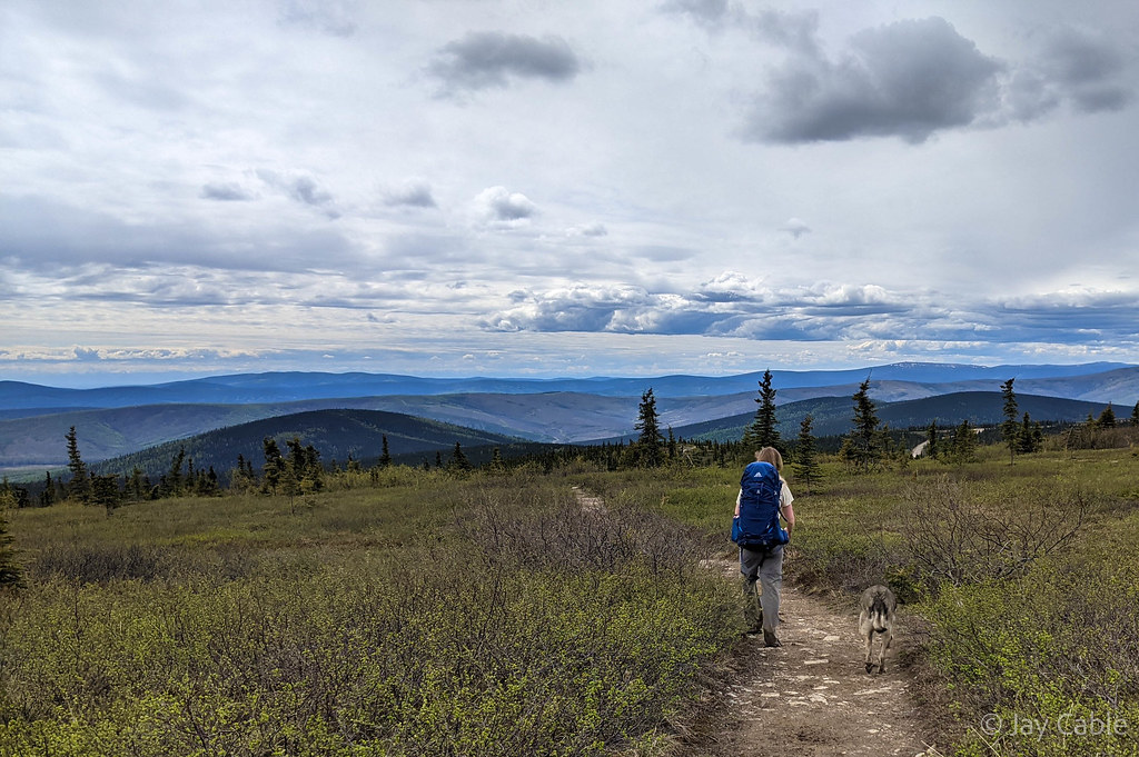
It was wonderful to see all the clearing that had been done – they really put a lot of effort into it! It has turned brushy hike were it is hard to follow the trail into a fun and pleasant easy to follow trail. As forecasted the weather warmed up, and Molly and I enjoyed a fantastic (but longer than I remembered) hike to meet up with Nancy, Lizzy, and the dogs.

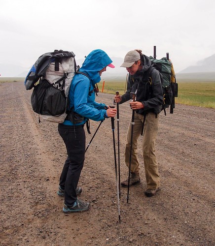
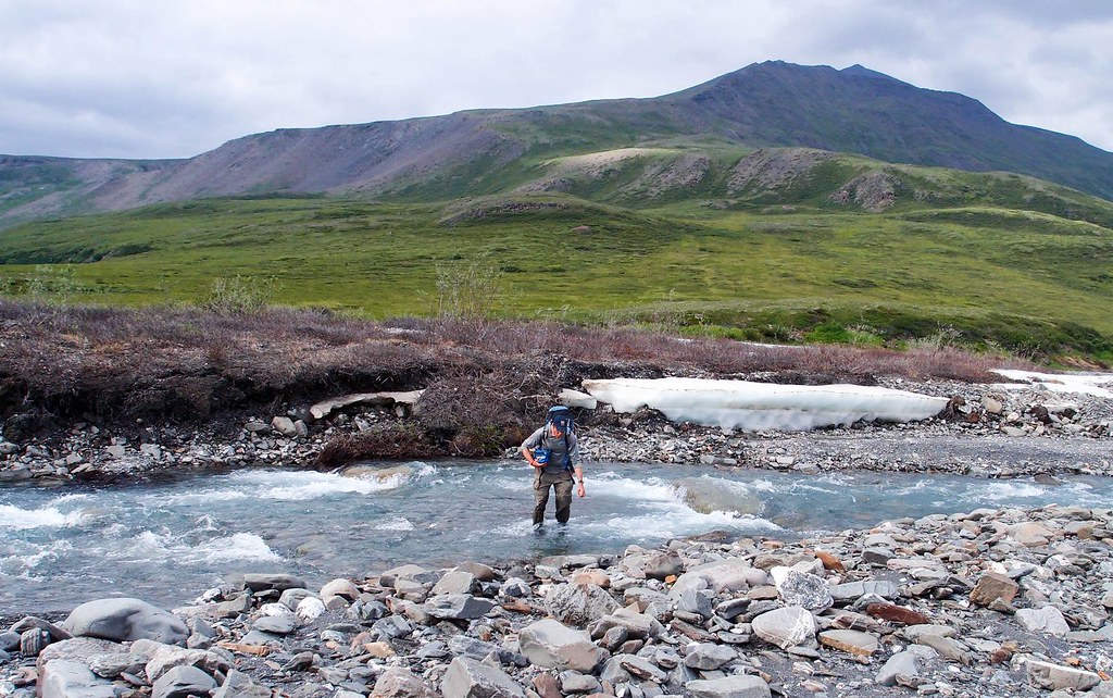
Molly’s snow field crossing technique..
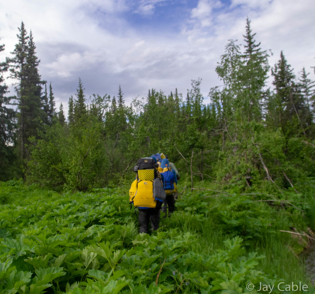
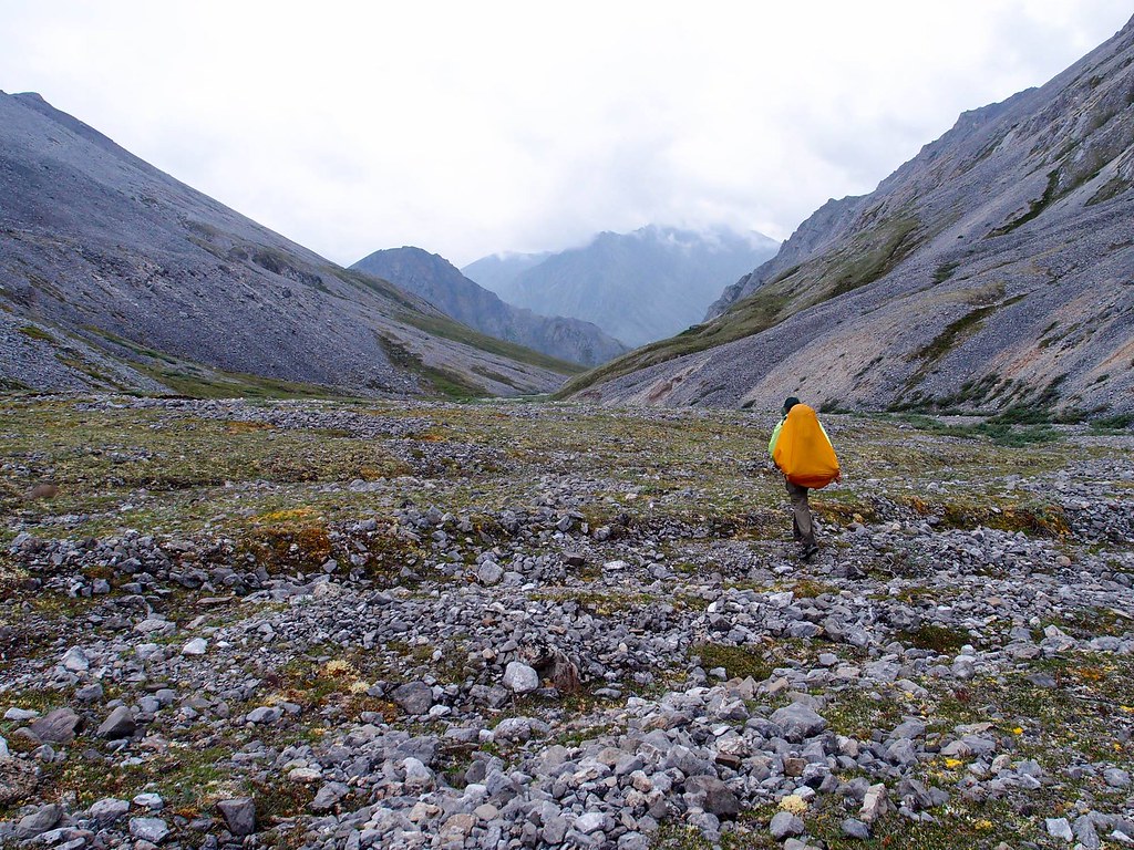
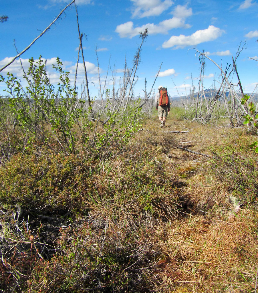
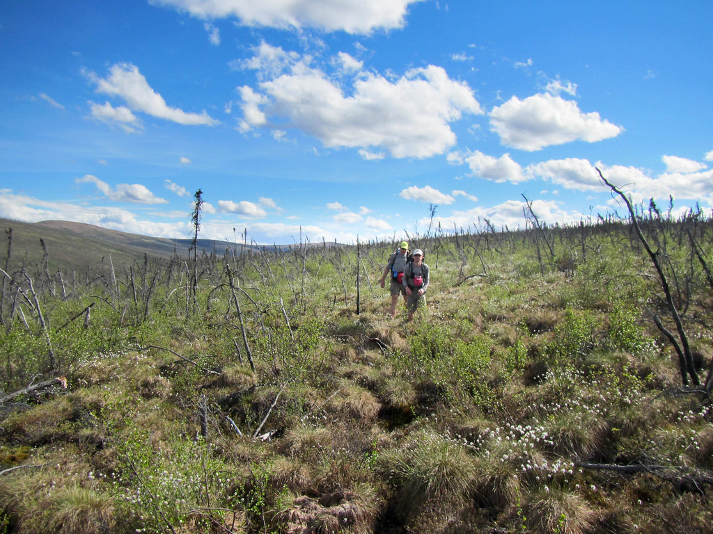
Along the way we found a small pool with magically delicious “mountain water” as Molly put it that she hoarded for the rest of the hike. A mile or so from our meetup point the brush came back and we had to smash though a brief but dense thicket – I expect the trail clearing crew ran out of time and didn’t clear the whole thing.

The remaining brushy section..
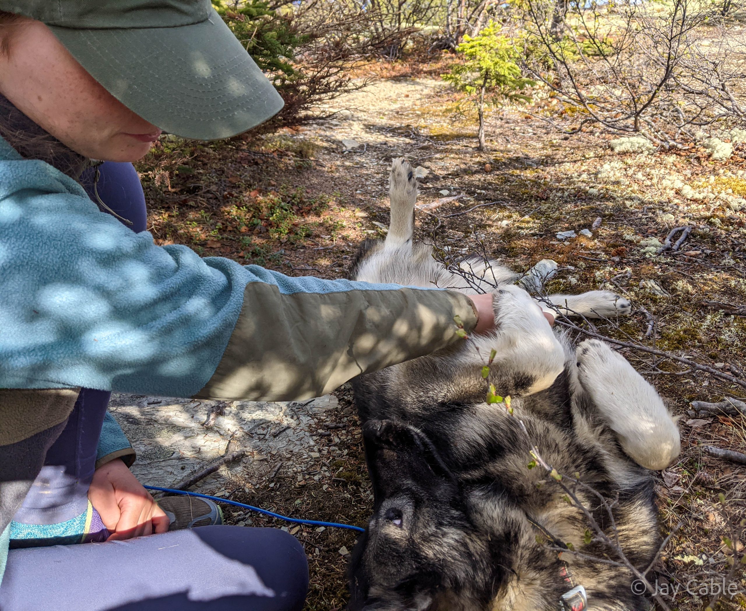
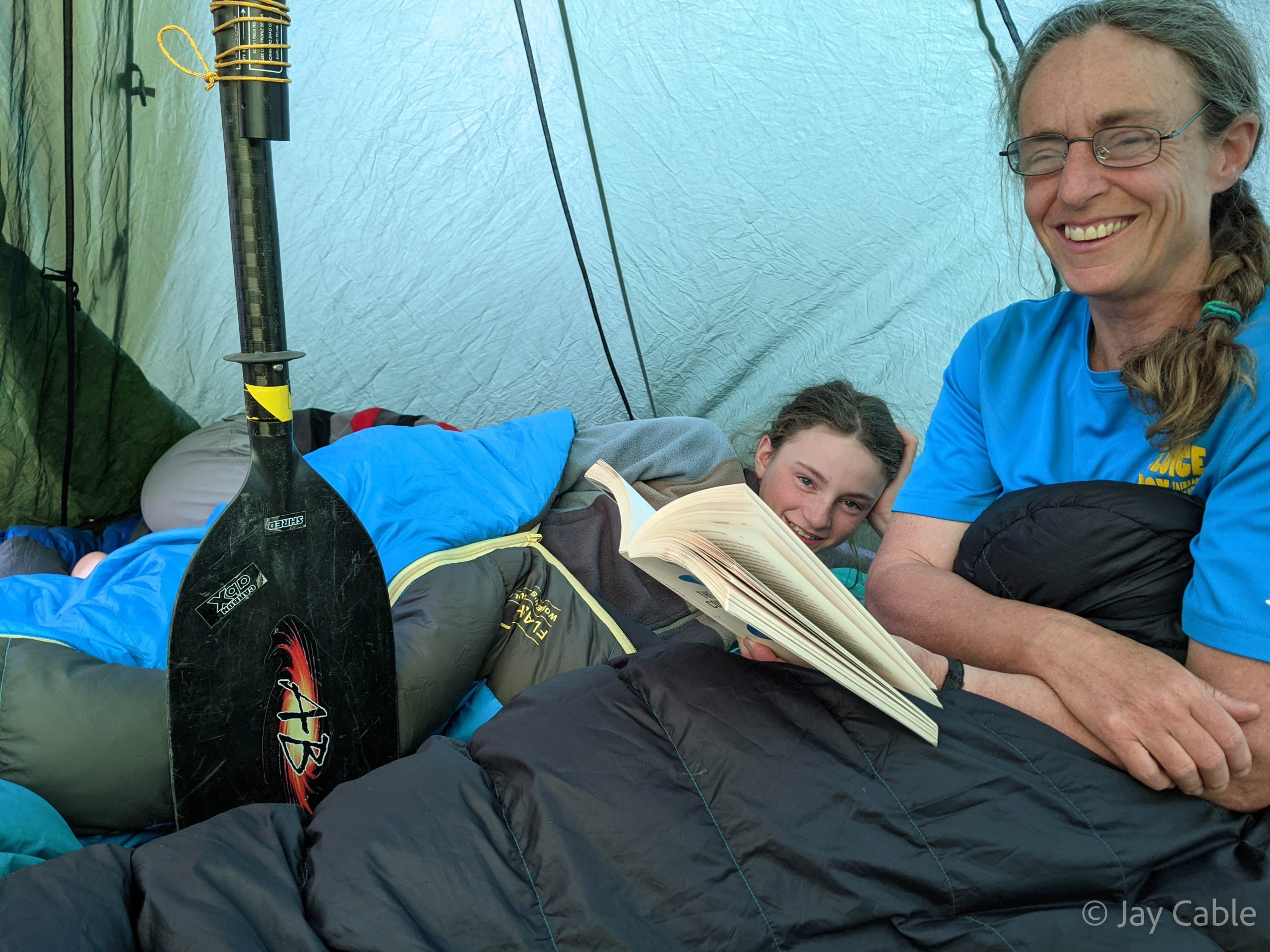
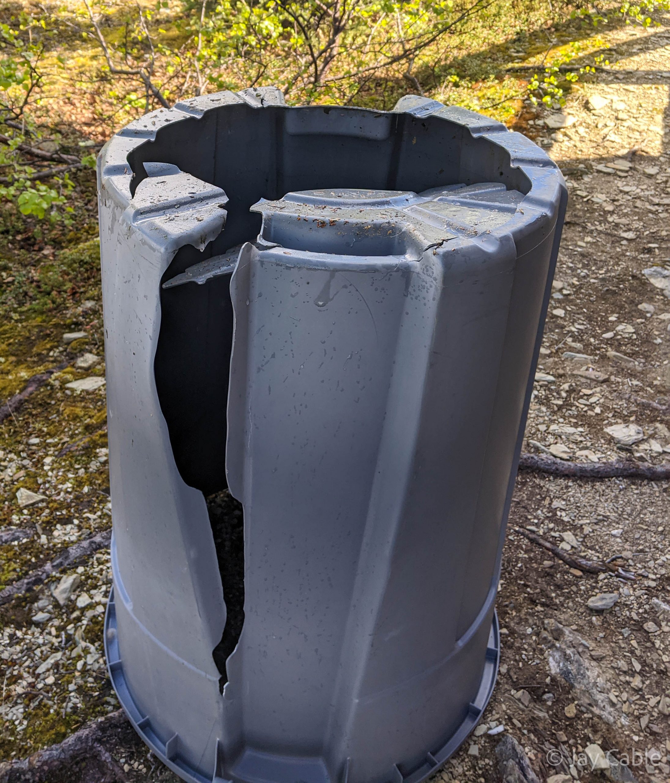
The evening was spent reading books, playing games, petting the dogs, and searching for water, as alas the water catchment’s barrel had split open.
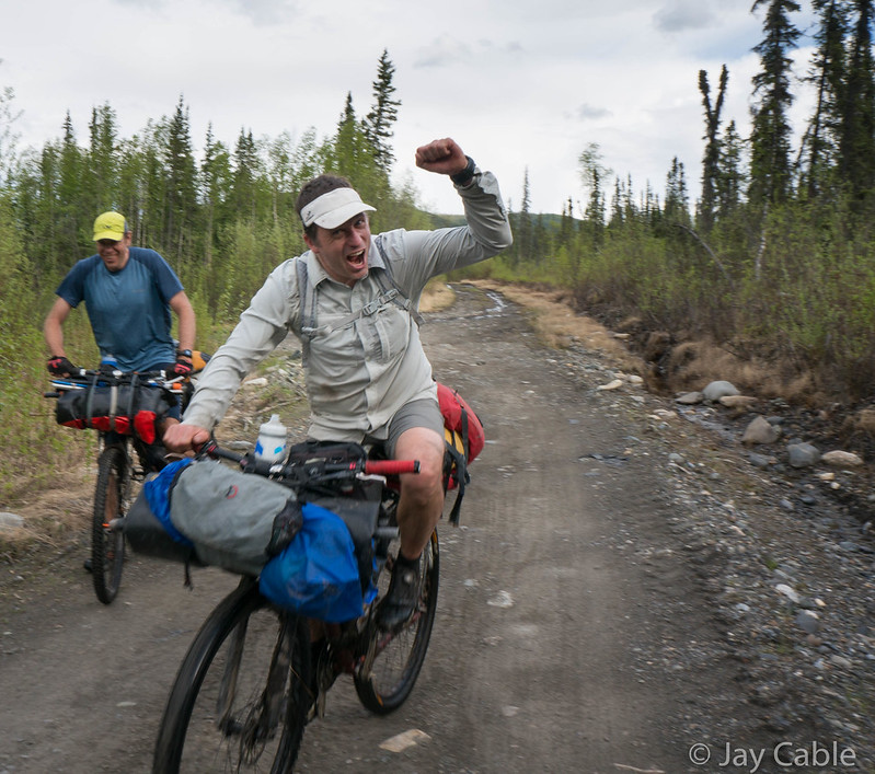
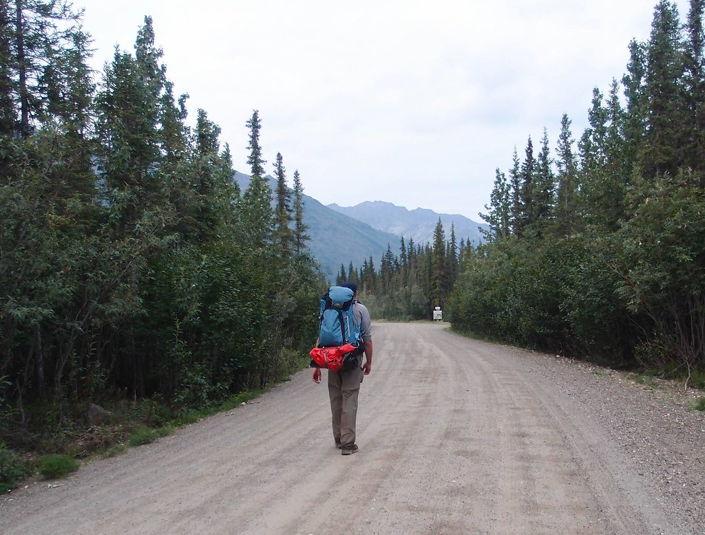
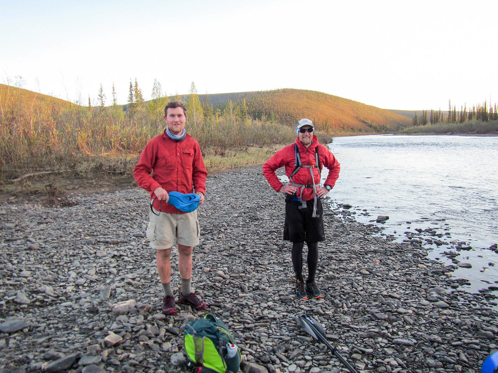
The next day we hiked out, with Lizzy setting a blazing pace.

We had a question from a man in a kilt who upon seeing our paddles and life jackets asked about the trail up from the river, and was excited to be informed the brush was mostly trimmed out. Apparently we were not the only group put off by the thick brush. Lizzy I think ended up being sad she missed the float – I don’t think it entirely dawned on her how much difference having your own boat would have made fun wise. She and Nancy still had fun though, and the group of us arrived at the parking lot tired, muddy, and happy. I did have one freak out /breakdown as folks were getting in the car in regards to the mud free-ness (or lack there of) of their shoes – my apologies Nancy!
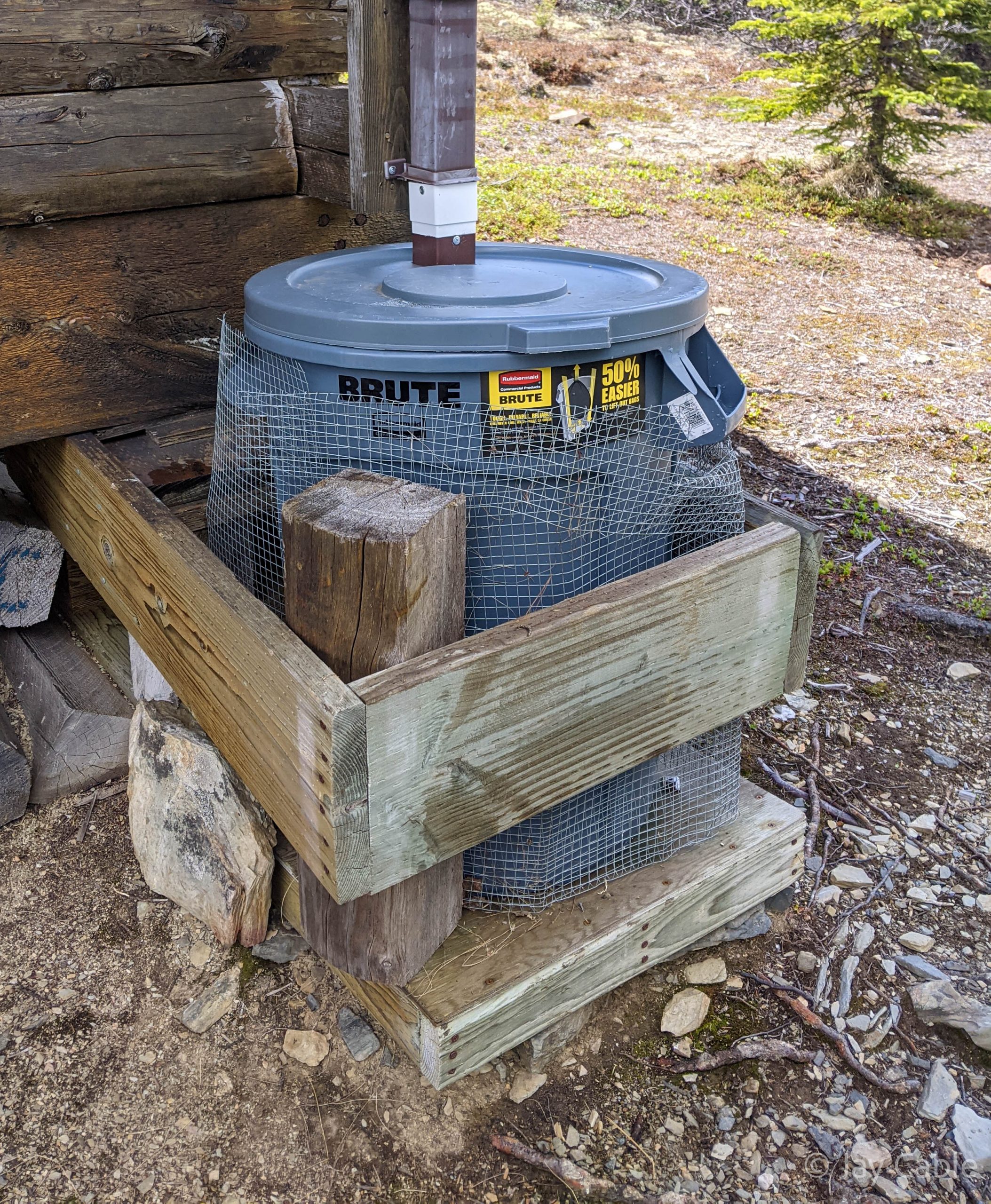
As a postscript, after checking with BLM to make sure it was ok, the following Friday I hauled in two new trash cans to function as rain barrels and a roll of hardware cloth to wrap around them to keep them from getting chewed up. Someone had put in a trash bag in the split barrel meanwhile and it was mostly holding water again. I swapped out the split trash can with a new one, stashed the extra, and hauled the broken one out. Hopefully it will several seasons.


Happy summer everyone!